The best walks and hikes around Haibach im Mühlkreis
4.6
(2312)
14,502
hikers
663
hikes
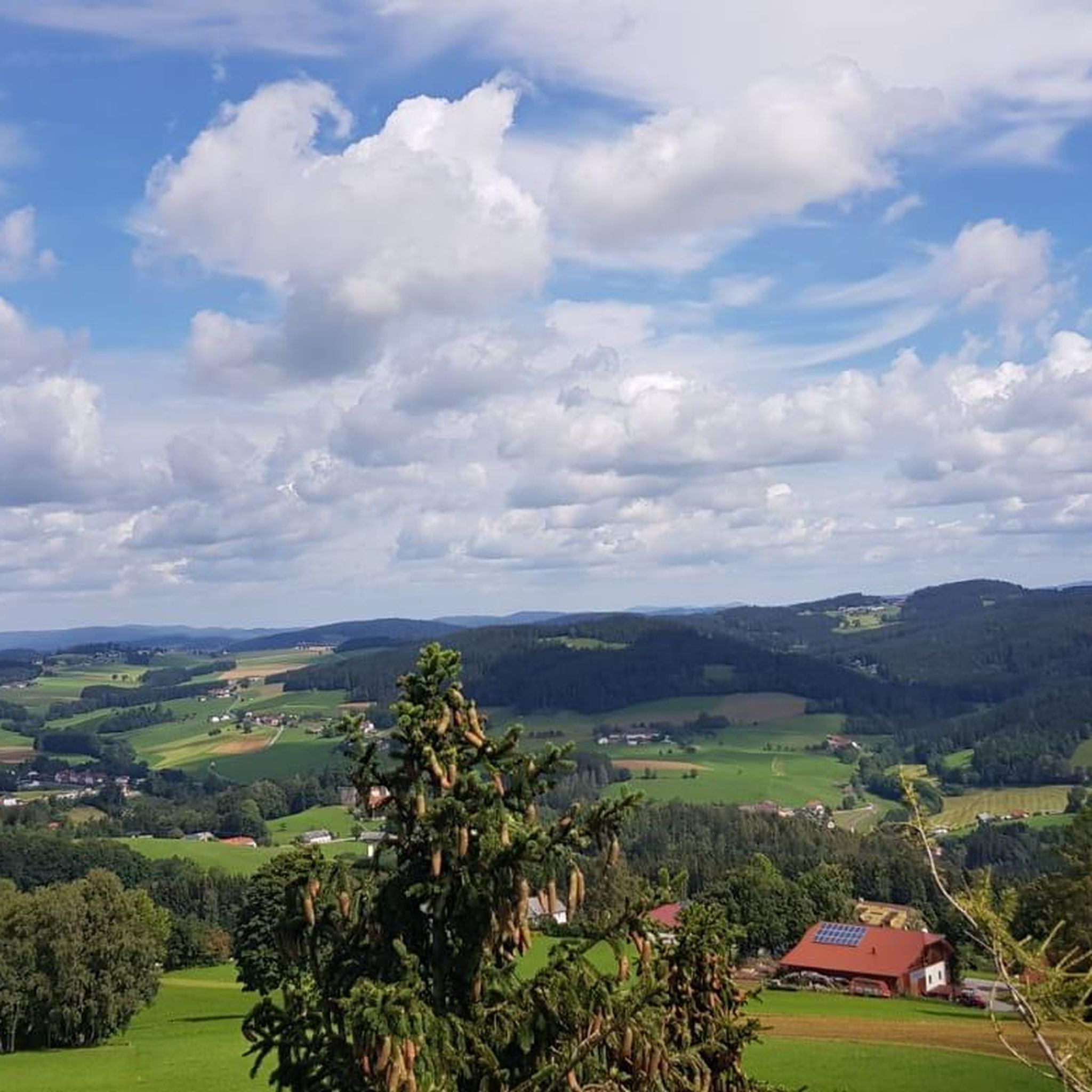
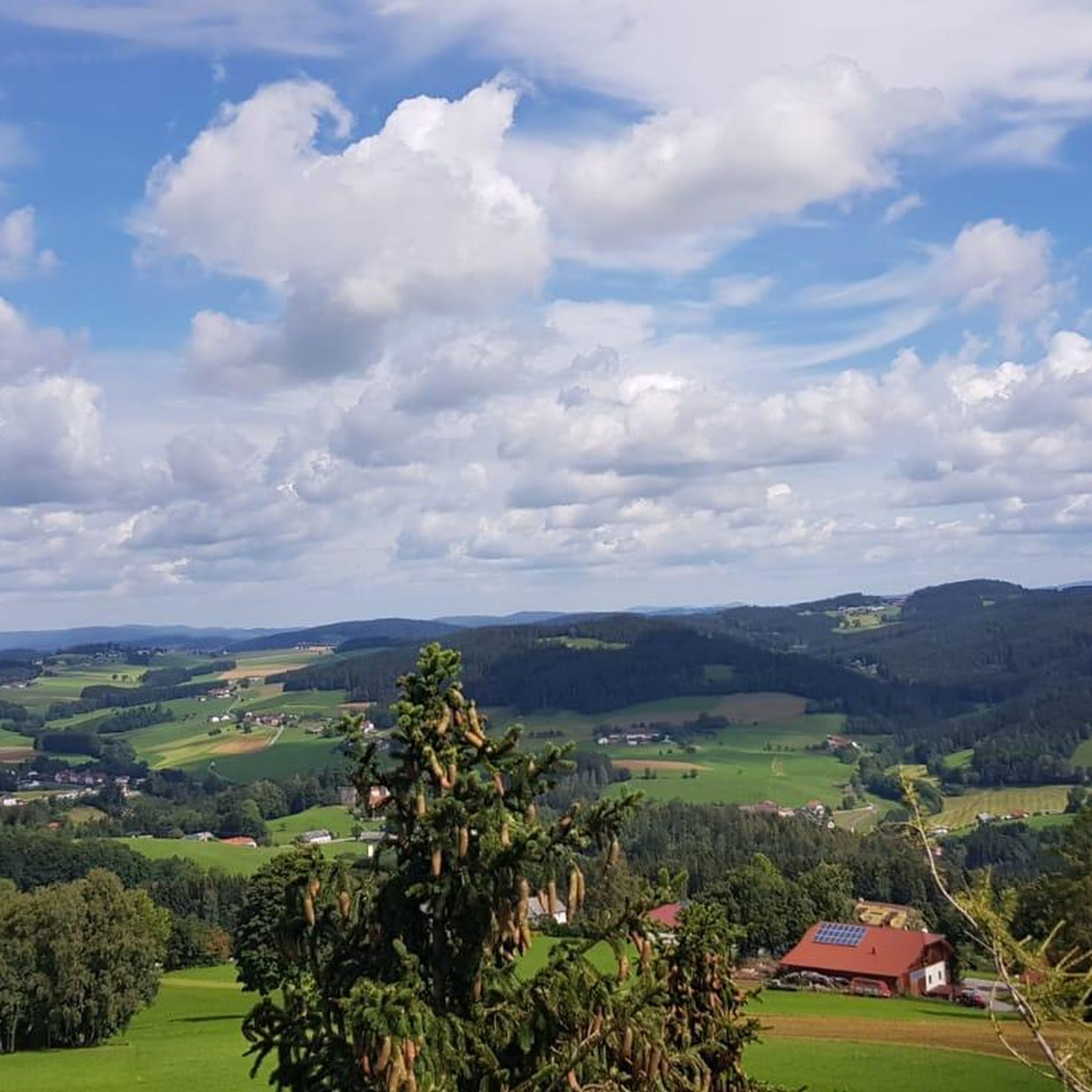
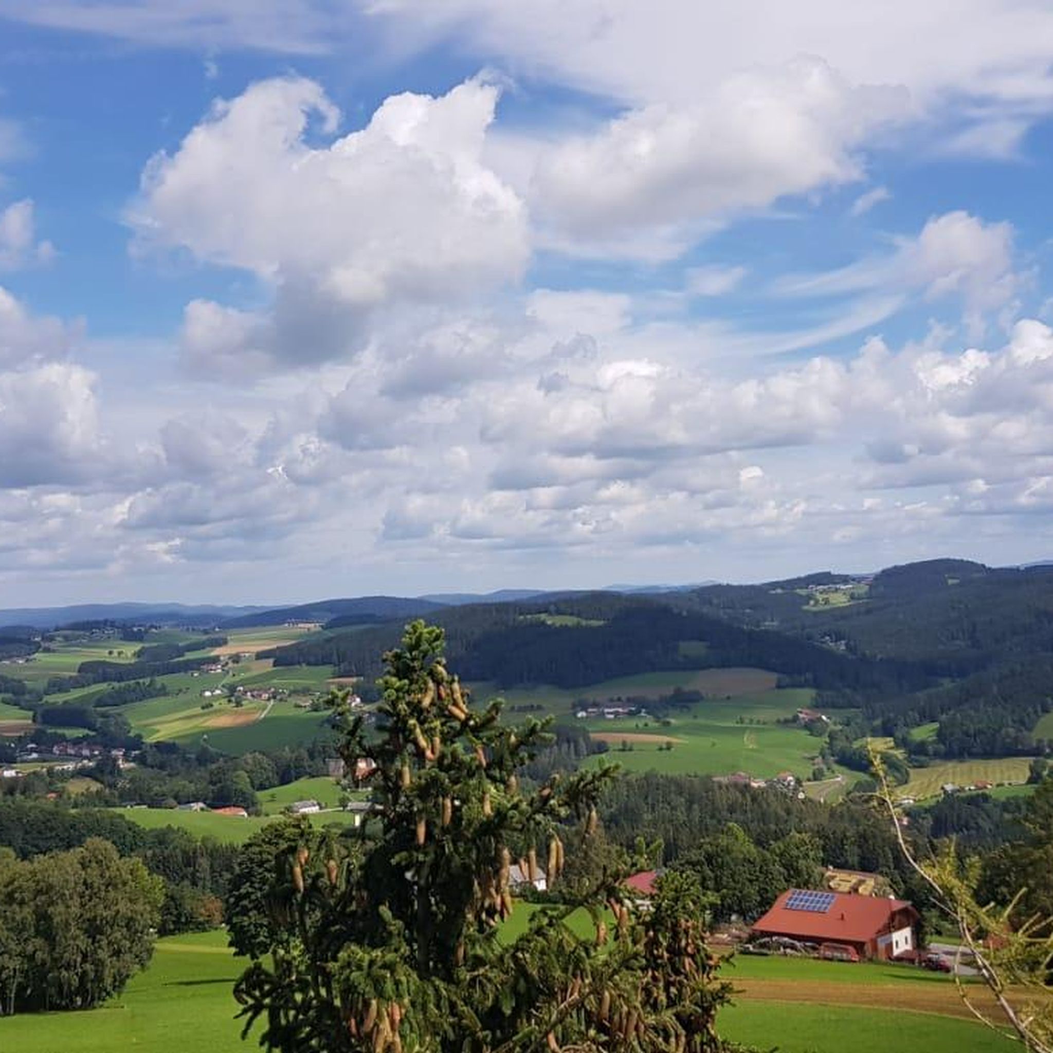
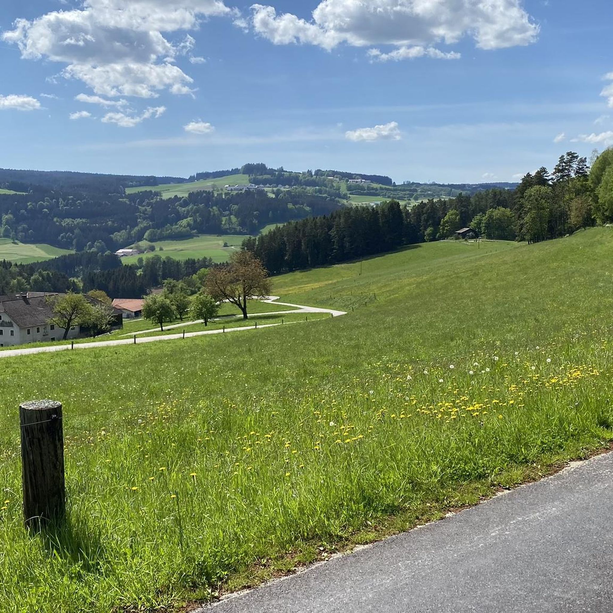
Hiking around Haibach im Mühlkreis offers diverse landscapes situated on a hilly plateau that forms part of the Bohemian Massif. The region provides views over the Danube River and the Eferdinger Becken. Notable natural features include the dramatic Schlögener Schlinge, a horseshoe bend in the Danube, and the Kerzenstein, a 12-meter-high granite column in the Pesenbachtal. The terrain combines river valleys, forested areas, and elevated viewpoints.
Best hiking trails around Haibach im Mühlkreis
- The most popular hiking route is Bench…
Last updated: June 27, 2026
4.8
(47)
262
hikers
8.81km
02:34
230m
230m
Moderate hike. Good fitness required. Easily-accessible paths. Suitable for all skill levels.
4.7
(12)
40
hikers
14.5km
04:18
430m
430m
Moderate hike. Good fitness required. Easily-accessible paths. Suitable for all skill levels.

Sign up for free
5.0
(7)
41
hikers
Moderate hike. Good fitness required. Easily-accessible paths. Suitable for all skill levels.
4.8
(10)
45
hikers
6.02km
01:45
160m
160m
Easy hike. Great for any fitness level. Easily-accessible paths. Suitable for all skill levels.
5.0
(7)
39
hikers
Moderate hike. Good fitness required. Easily-accessible paths. Suitable for all skill levels.
Get access to more routes and recommendations from other explorers.
Sign up for free
Already have an account?
Our route recommendations are based on thousands of hikes, rides, and runs completed by other people on komoot.
Start today with a free account
Your next adventure awaits.
Login or Signup

Tips from the Community

There's a mountain bike trail right next to it: https://uppertrails.at/trails/roadlberg-trails/
1
0

It took a while, and I walked around the stone twice before I spotted the "witch"... I also took a great photo where she's clearly visible... (Picture 6) 🧹
1
0
Beautiful view of the treetops...YES To be honest, I expected more from the observation tower... But it was still nice to have been up there 🫶
1
0
The trails have now been upgraded to the next level. Due to poor data management, Komoot contains numerous inaccuracies that are unfortunately not being updated by the site operators, i.e., Komoot. You can find accurate data on our dedicated website: https://roadlberg.uppertrails.at The routing function on Komoot also provides numerous inaccuracies and information about closed trails. As the trail operators, we recommend using reputable products and portals for your tour planning (Brouter, Trailforks, the local tourism board, Outdooractive, etc.).
1
0

Observation tower on the Roadlberg
3
0
Great guesthouse, highly recommended
4
0
Frequently Asked Questions
How many hiking trails are available in Haibach im Mühlkreis?
Haibach im Mühlkreis offers a vast network of hiking trails, with over 670 tours recorded on komoot. These range from easy strolls to more challenging ascents, catering to various fitness levels.
Are there easy hiking trails suitable for beginners or families in Haibach im Mühlkreis?
Yes, the region has plenty of easy trails. Over 300 routes are classified as easy, making them perfect for beginners or families looking for a relaxed outdoor experience. An example is the Roadlhof Inn – Roadlberg Observation Tower loop from Roadlberg, which is an easy 6 km hike.
What kind of natural landmarks can I expect to see while hiking in Haibach im Mühlkreis?
The area is rich in natural beauty. You can witness the dramatic Schlögener Schlinge, a famous horseshoe bend in the Danube River, or the unique Kerzenstein, a 12-meter-high granite column in the Pesenbachtal. Many trails also offer stunning views over the Danube Valley and the Eferdinger Becken.
Are there any circular hiking routes in Haibach im Mühlkreis?
Yes, many trails in Haibach im Mühlkreis are designed as circular routes, allowing you to start and end at the same point. The Bench With a View of the Alps – Ura Stoa Summit loop from Roadlberg is a popular moderate circular hike offering scenic views.
What do other hikers say about the trails in Haibach im Mühlkreis?
The hiking trails in Haibach im Mühlkreis are highly regarded by the komoot community, boasting an average rating of 4.6 stars from over 2000 reviews. Hikers often praise the diverse landscapes, well-maintained paths, and the stunning views of the Danube and surrounding areas.
Can I find trails that offer historical sights in Haibach im Mühlkreis?
Absolutely. The region has a rich history. You can explore routes that pass by historical sites such as the picturesque Reichenau Castle Ruins or the Kalvarienberg, which offers expansive views. Remnants of the Joviacum Roman castle and a Roman bath in Schlögen also add a cultural dimension to your hike.
Are there any viewpoints along the hiking trails in Haibach im Mühlkreis?
Yes, the hilly terrain of Haibach im Mühlkreis provides numerous excellent viewpoints. The Gisela Tower and Gisela Cross on Lichtenberg and the Lichtenberg Transmitter and Gäste-Warte Observation Tower are notable spots offering panoramic vistas, including views of the Schlögener Schlinge and even the distant Alps on clear days.
What is the best time of year to go hiking in Haibach im Mühlkreis?
Haibach im Mühlkreis is enjoyable for hiking throughout much of the year. Spring and autumn offer pleasant temperatures and vibrant scenery. Even in summer, trails like the CICONIA-Rundweg provide shaded forest paths, making them suitable for warmer days. Winter hiking is also possible, with specific trails offering a serene, snow-covered landscape.
Are there any longer, more challenging hikes in the area?
For those seeking a longer challenge, there are moderate to difficult routes available. The Roadlhof – Face Rock loop from Wintersdorf is a moderate 14.7 km path featuring varied terrain and interesting rock formations, typically taking over 4 hours to complete.
Does Haibach im Mühlkreis offer trails that are part of a larger network?
Yes, Haibach im Mühlkreis is integrated into the Donausteig, a well-known long-distance hiking trail. This provides opportunities for extended hikes and connects the local trails to a broader network along the Danube River.
Are there options for combining hiking with other outdoor activities?
Absolutely. Haibach im Mühlkreis is conveniently located right on the famous Danube Cycle Path (Donauradweg), offering excellent opportunities to combine hiking with cycling. Additionally, the region features several bike parks and trails, such as the Roadlberg Trails, for mountain biking enthusiasts.
What kind of terrain can I expect on the hiking trails?
The terrain in Haibach im Mühlkreis is quite varied, characterized by hilly plateaus, dense forest paths, and sections along the Danube River. You'll encounter a mix of ascents and descents, offering diverse landscapes from river valleys to elevated viewpoints.
Most popular routes around Haibach im Mühlkreis
Most popular attractions around Haibach im Mühlkreis

Get inspired with the komoot mobile app


Explore more
Browse the best Hikes in other regions.
