The best road cycling routes around Dietramszell
4.5
(1267)
21,047
riders
386
rides
Road cycling routes around Dietramszell traverse a landscape characterized by rolling hills, extensive forests, and verdant pastures. The region offers panoramic views of the Alps from various points, providing a scenic backdrop for rides. The Isar River meanders through pristine floodplains, offering dedicated riverside paths for cyclists. This area maintains a rural Bavarian ambiance, featuring well-paved surfaces on many routes.
Best road cycling routes around Dietramszell
- The most popular road cycling route is Geilertshauser Straße – Deisenhofen railway line loop…
Last updated: September 28, 2026
3.8
(4)
102
riders
34.4km
01:28
210m
210m
Easy road ride. Great for any fitness level. Mostly well-paved surfaces and easy to ride.
4.4
(7)
89
riders
58.0km
02:31
400m
400m
Moderate road ride. Good fitness required. Some segments of this route may be unpaved and difficult to ride.

5.0
(5)
66
riders
52.1km
02:13
390m
390m
Moderate road ride. Good fitness required. Mostly well-paved surfaces and easy to ride.
4.8
(5)
64
riders
40.9km
02:09
300m
300m
Moderate road ride. Good fitness required. Some segments of this route may be unpaved and difficult to ride.
48
riders
27.2km
01:14
210m
210m
Easy road ride. Great for any fitness level. Mostly well-paved surfaces and easy to ride.
Get access to more routes and recommendations from other explorers.
Already have an account?
Our route recommendations are based on thousands of hikes, rides, and runs completed by other people on komoot.
Start today with a free account
Your next adventure awaits.
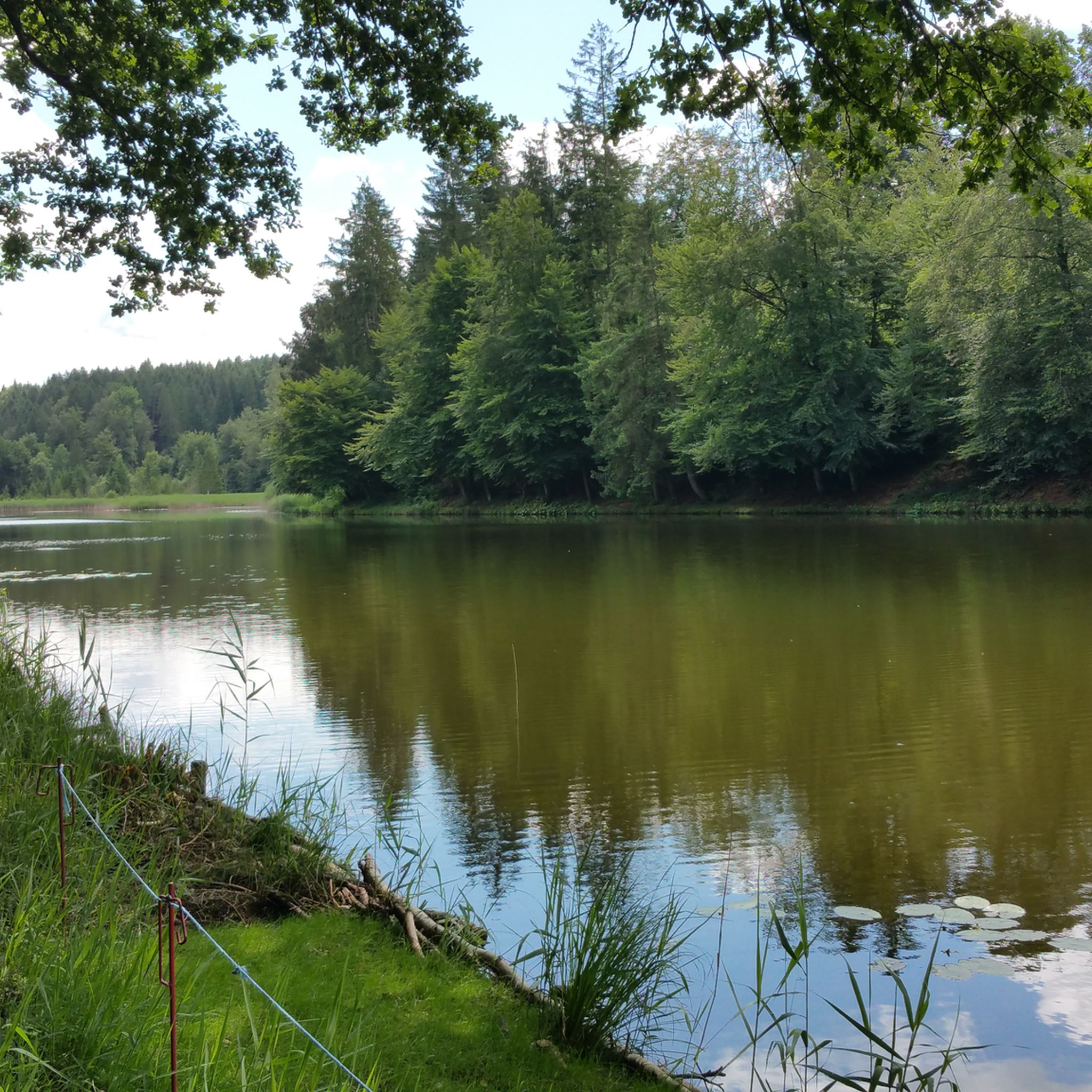

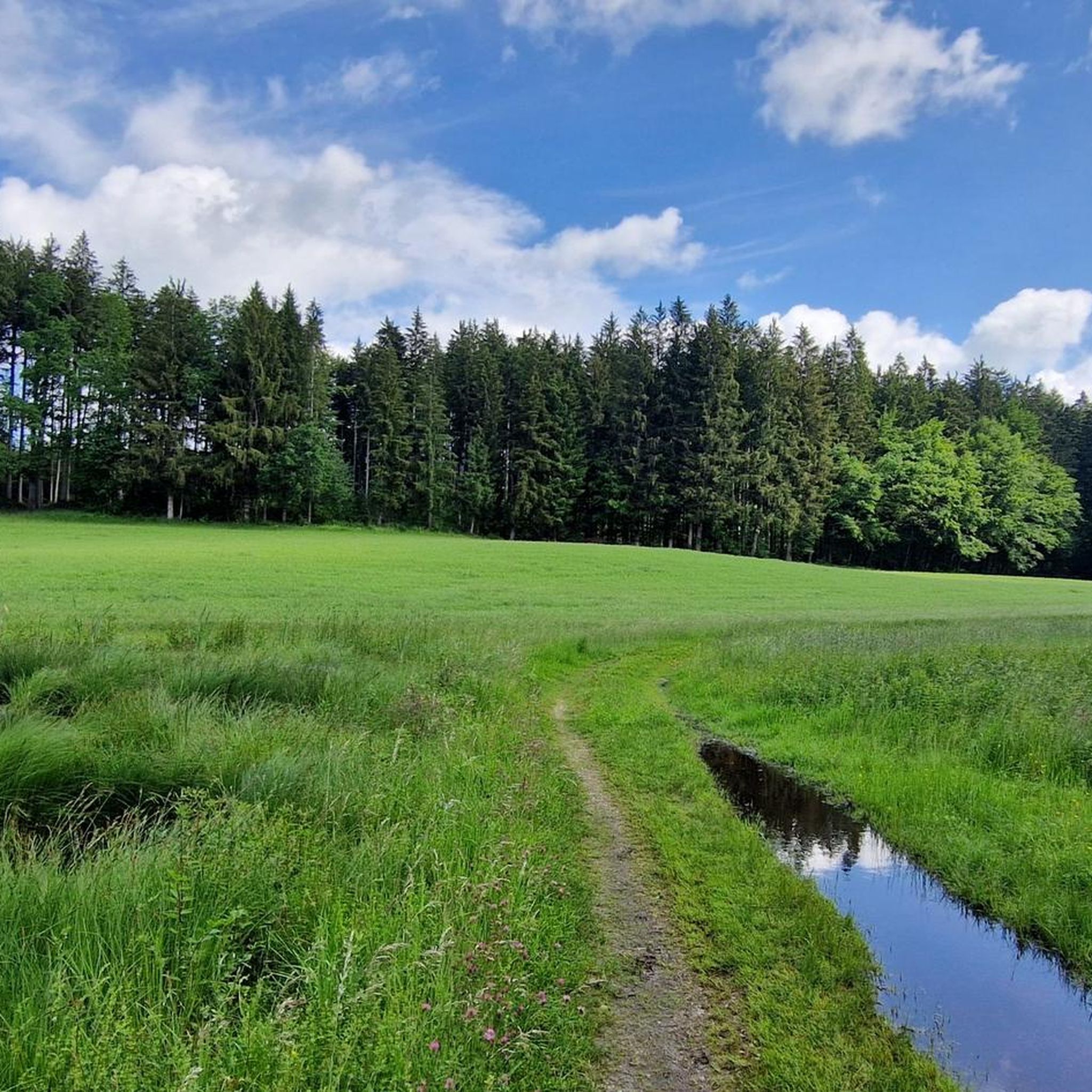
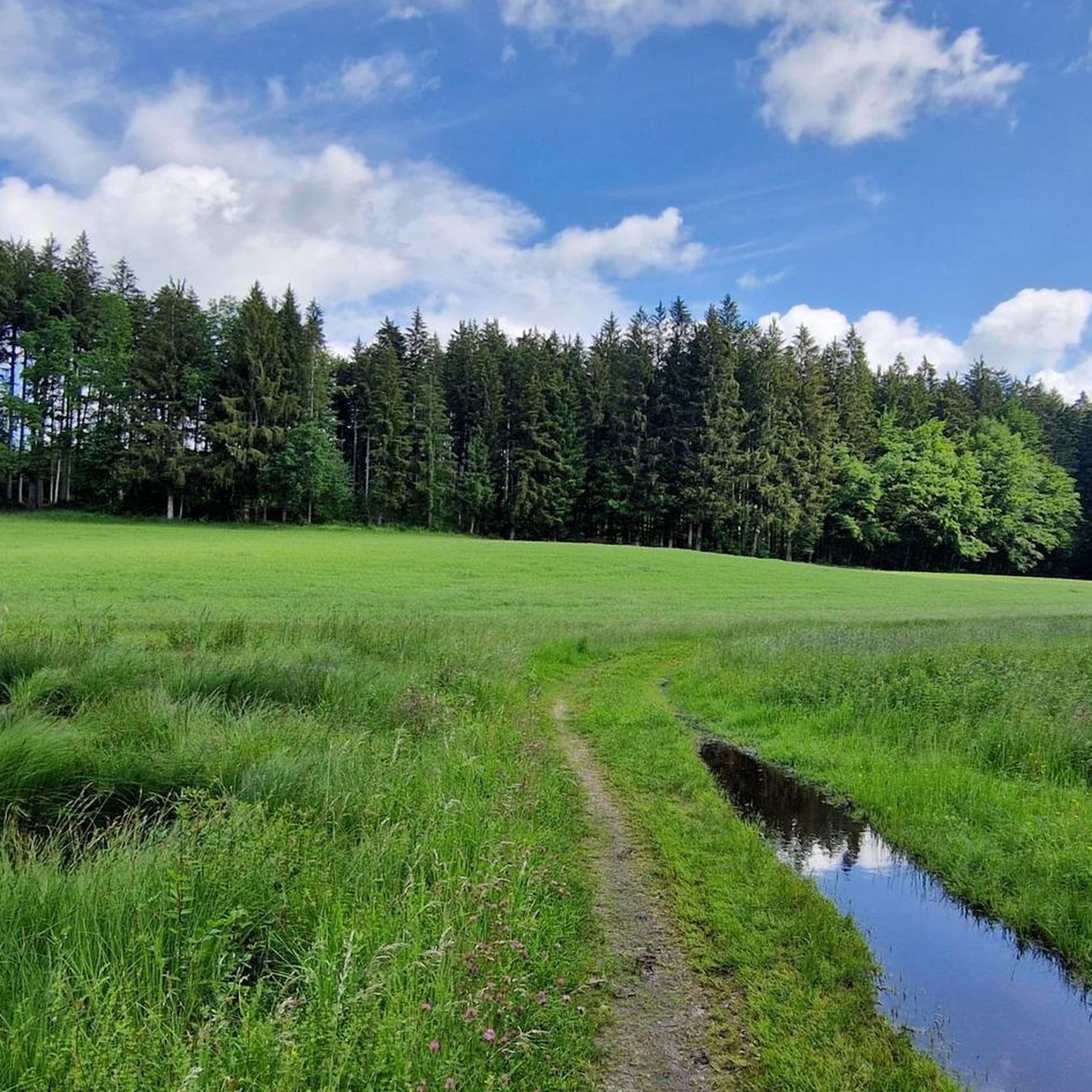

Tips from the Community

Great quiet path along the Isarkanal
1
0

Definitely recommended
0
0

Nice bike path and little traffic
0
0

Great cycle path, magnificent landscape
0
0
Beautiful quiet cycle path. Offers shade and is excellent for drafting.
0
1

The Schindergraben Bump is currently a construction site (as of July 17, 2026). It looks impassable, but there is a pedestrian bridge over the Schindergraben, which you can use to push your bike if you overcome the barriers beforehand.
0
0
Frequently Asked Questions
How many road cycling routes are available around Dietramszell?
There are over 380 road cycling routes around Dietramszell, offering a wide selection for various fitness levels and preferences. This includes 121 easy routes, 227 moderate routes, and 39 more challenging excursions.
What kind of terrain can I expect on road cycling routes in Dietramszell?
The terrain around Dietramszell is characterized by picturesque rolling hills, extensive forests, and verdant grass pastures. Many routes feature well-paved surfaces, ensuring a comfortable and smooth cycling experience. You'll also find quiet roads and forest paths, minimizing traffic exposure.
Are there any routes with significant climbs or elevation gain?
Yes, Dietramszell offers routes with notable climbs. For instance, the Humbach Climb – Dietramszell Monastery loop from Geretsried includes a climb and covers 387 meters of elevation gain over 52.8 km. The region's rolling hills provide continuous engagement for cyclists seeking elevation.
What natural features or viewpoints can I see along the cycling routes?
Cyclists are often rewarded with stunning panoramic views of the Alps, especially on routes like the Humbach Climb – View of the Alps loop from Geretsried. The Isar River is a significant natural highlight, with dedicated paths like the Pupplinger Au – Isar Canal Riverside Trail loop offering idyllic rides alongside its clear waters and abundant nature.
Are there any historical landmarks or points of interest to visit while cycling?
Yes, the historic Dietramszell Monastery is an integral part of several cycling routes, including the Humbach Climb – Dietramszell Monastery loop. You can also explore the riverside promenade in Bad Tölz, which offers scenic views of the Isar. Nearby natural highlights include Kirchsee and Thanninger Pond.
What is the best time of year for road cycling in Dietramszell?
The region is generally appealing for road cycling during spring, summer, and autumn. These seasons offer pleasant weather conditions to enjoy the scenic landscapes, rolling hills, and forest paths. Winter cycling might be possible, but conditions can be more challenging due to colder temperatures and potential snow or ice.
Are there any family-friendly road cycling routes in Dietramszell?
Yes, Dietramszell offers several easy routes suitable for families. The Geilertshauser Straße – Deisenhofen railway line loop from Steingau is an easy 35.2 km route that provides a smooth cycling experience through the local countryside, perfect for a family outing.
Where can I park my car when starting a road cycling tour in Dietramszell?
While specific parking locations are not detailed for every route, Dietramszell and its surrounding towns generally offer public parking options. For routes starting near specific attractions or towns, look for designated parking areas or public car parks. Many routes are loops, allowing you to start and end at the same point.
Can I reach Dietramszell's cycling routes using public transport?
The broader Bad Tölz-Wolfratshausen region, which includes Dietramszell, has public transport connections. While direct access to every trailhead might vary, you can often reach towns near popular cycling routes by bus or regional train, allowing you to start your tour from there.
What do other road cyclists say about the routes in Dietramszell?
The road cycling routes in Dietramszell are highly rated by the komoot community, with an average score of 4.6 stars from over 900 reviews. Cyclists often praise the diverse and scenic landscapes, the well-paved surfaces, and the tranquil, rural Bavarian ambiance that makes for an enjoyable ride.
Are there any circular road cycling routes available?
Yes, many of the road cycling routes around Dietramszell are designed as loops, allowing you to start and finish at the same point. Examples include the Geilertshauser Straße – Deisenhofen railway line loop and the Pupplinger Au – Isar Canal Riverside Trail loop, providing convenient options for exploring the region.
Are there any lakes or rivers that the cycling routes pass by?
Absolutely. The Isar River is a prominent feature, with routes like the Isar River in Bad Tölz – Isar riverbank in Bad Tölz loop from Geretsried following its course. Additionally, picturesque lakes such as Kirchsee and Thanninger Pond are popular destinations that can be incorporated into bike tours originating from nearby areas.
Most popular routes around Dietramszell
Most popular attractions around Dietramszell

Get inspired with the komoot mobile app


Explore more
Browse the best Road cycling routes in other regions.
