The best MTB trails in San Andrés Xecul
4.9
(55)
186
riders
31
rides
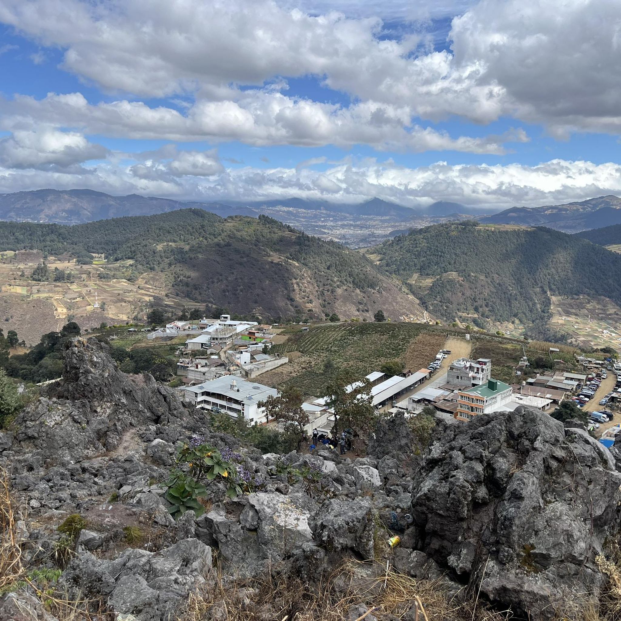
Mountain biking in San Andrés Xecul, Guatemala, is characterized by its impressive mountainous landscapes and varied terrain. The region features lush vegetation, extensive cultivation, and dense forests, providing a diverse environment for mountain bike trails. Riders can expect a mix of challenges, from moderate paths to more demanding routes with significant elevation changes. The area's geography, with its surrounding mountains and valleys, offers a range of natural features to explore.
Best mountain bike trails in San Andrés Xecul
- The most…
Last updated: July 2, 2026
4.8
(13)
28
riders
32.0km
02:48
790m
790m
Moderate mountain bike ride. Good fitness required. Suitable for all skill levels.
4.5
(8)
19
riders
14.5km
01:18
400m
400m
Moderate mountain bike ride. Good fitness required. Advanced riding skills necessary.

Sign up for free
5.0
(1)
11
riders
Moderate mountain bike ride. Good fitness required. Suitable for all skill levels.
5.0
(3)
10
riders
21.6km
01:44
470m
470m
Moderate mountain bike ride. Good fitness required. Suitable for all skill levels.
4.1
(9)
11
riders
56.9km
03:23
500m
490m
Moderate mountain bike ride. Good fitness required. Suitable for all skill levels.
4.0
(1)
8
riders
13.9km
01:06
300m
300m
Easy mountain bike ride. Great for any fitness level. Suitable for all skill levels.
5.0
(1)
6
riders
43.8km
03:18
880m
880m
Moderate mountain bike ride. Good fitness required. Suitable for all skill levels.
5.0
(1)
6
riders
27.3km
02:09
640m
640m
Moderate mountain bike ride. Good fitness required. Suitable for all skill levels.
5.0
(5)
8
riders
87.7km
06:32
1,610m
1,610m
Hard mountain bike ride. Very good fitness required. Suitable for all skill levels.
5.0
(1)
5
riders
39.3km
02:44
670m
670m
Moderate mountain bike ride. Good fitness required. Suitable for all skill levels.
Get access to more routes and recommendations from other explorers.
Sign up for free
Already have an account?
Our route recommendations are based on thousands of hikes, rides, and runs completed by other people on komoot.
Start today with a free account
Your next adventure awaits.
Login or Signup
Popular around San Andrés Xecul
Tips from the Community


sidewalk up !! you have to be a minimum intermediate to complete it !!
0
0
Frequently Asked Questions
How many mountain bike trails are available in San Andrés Xecul?
There are over 30 mountain bike trails in San Andrés Xecul and the surrounding region, offering a diverse range of options for riders. These include routes of varying lengths and difficulties, from easy loops to more challenging long-distance rides.
What is the terrain like for mountain biking in San Andrés Xecul?
The terrain in San Andrés Xecul is characterized by impressive mountainous landscapes, lush vegetation, and a vast panorama of cultivation and forests. Riders can expect a mix of challenges, from moderate paths to more demanding routes with significant elevation changes and technical sections. The area's geography, with its surrounding mountains and valleys, provides a diverse environment for mountain biking.
Are there mountain bike trails suitable for beginners in San Andrés Xecul?
Yes, San Andrés Xecul offers several trails suitable for beginners. For example, the Forest Trail loop from Quetzaltenango is an easy 13.9 km route that provides a good introduction to the region's mountain biking without excessive difficulty.
Are there challenging mountain bike trails for experienced riders?
Experienced riders looking for a challenge will find several demanding routes. The El Baúl Monument – San Cristóbal Waterfalls Trail loop from Quetzaltenango is a difficult 89 km route with significant elevation gain, offering a substantial test of endurance and skill.
What natural features can I expect to see while mountain biking in the region?
While mountain biking in San Andrés Xecul, you'll encounter breathtaking views of the Guatemalan highlands, characterized by impressive mountain ranges, lush vegetation, and extensive cultivated landscapes. The region is rich in greenery and offers a refreshing environment for outdoor activities. You might also pass by natural points of interest like the San Cristóbal Waterfalls, which are part of the San Cristóbal Waterfalls Trail – San Andrés Xecul Church loop from Quetzaltenango.
Are there any cultural landmarks or points of interest along the mountain bike trails?
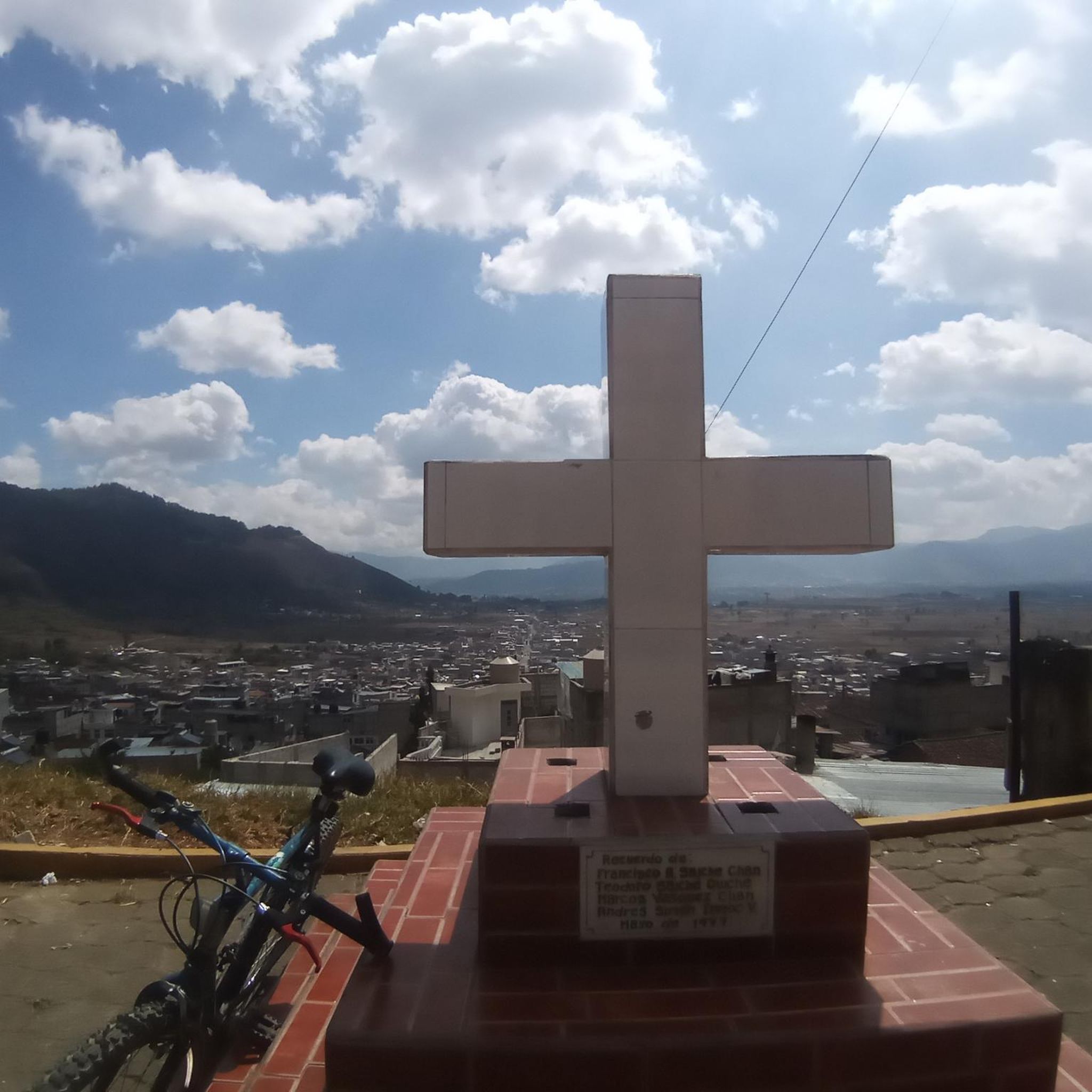
Yes, several routes incorporate cultural landmarks. The vibrantly painted San Andrés Xecul Church is a distinctive landmark often included in biking routes, such as the San Cristóbal Waterfalls Trail – San Andrés Xecul Church loop from Quetzaltenango. Additionally, routes like the El Baúl Monument – El Baúl Monument loop from Quetzaltenango offer views of cultural sites. You may also discover Mayan altars, adding a historical and spiritual dimension to your ride.
Can I find long-distance mountain bike routes in San Andrés Xecul?
Yes, for those seeking longer rides, there are extensive routes available. The Mountainbike loop from Quetzaltenango is a substantial 56.8 km route, and the Sija loop from Quetzaltenango covers 43.7 km, both offering significant distances to explore the region.
Are there loop trails for mountain biking in San Andrés Xecul?
Many of the mountain bike trails in San Andrés Xecul are designed as loops, allowing you to start and finish in the same location. Examples include the Forest Trail – Trail loop from Quetzaltenango and the El Baúl Monument loop from Olintepeque, providing convenient options for your ride.
What do other mountain bikers say about the trails in San Andrés Xecul?
The mountain bike routes in San Andrés Xecul are highly rated by the komoot community, with an average score of 4.8 stars from over 50 reviews. More than 170 mountain bikers have used komoot to explore the varied terrain, often praising the impressive mountainous landscapes and the diverse environment for riding.
Is there a viewpoint accessible by mountain bike in the area?
While not directly on a mountain bike trail, the Mirador Pakotz´i´j offers exceptional vistas of San Andrés Xecul and its surroundings. Some routes might pass near access points, allowing for a short detour to enjoy the panoramic views after a ride.
What is the best time to visit San Andrés Xecul for mountain biking?
The Guatemalan highlands generally offer a pleasant climate for outdoor activities. The dry season, typically from November to April, is often considered ideal for mountain biking as trails are less muddy and weather conditions are more stable. However, the lush vegetation means the region remains green and inviting year-round.
Are there routes that combine natural beauty with cultural sites?
Absolutely. The San Andrés Xecul Church – View to the West loop from Quetzaltenango is a moderate 39.2 km route that allows you to experience both the scenic landscapes and the unique cultural heritage of the region, including the famous San Andrés Xecul Church.
Most popular routes in San Andrés Xecul

Get inspired with the komoot mobile app


Explore more
Browse the best MTB trails in other regions.
