The best cycling routes in Quetzaltenango
5.0
(5)
131
riders
22
rides
Touring cycling in Quetzaltenango offers diverse routes across volcanic landscapes, verdant highlands, and cloud forests. The region features significant vertical relief with valleys and ranges, characterized by pine, oak, and cypress trees amidst rocky outcrops. Cyclists can explore both paved and unpaved surfaces, with trails ranging from moderate to difficult. This topography provides a variety of scenic and challenging routes for touring cyclists.
Best touring cycling routes in Quetzaltenango
- The most popular touring cycling route is In Case I Get…
Last updated: July 5, 2026
17
riders
14.4km
01:15
370m
370m
Moderate bike ride. Good fitness required. Mostly paved surfaces. Suitable for all skill levels.
5.0
(1)
12
riders
24.3km
01:36
220m
220m
Hard bike ride. Good fitness required. You may need to push your bike for some segments of this route.

Sign up for free
5.0
(1)
9
riders
33.7km
02:21
420m
420m
Moderate bike ride. Good fitness required. Mostly paved surfaces. Suitable for all skill levels.
6
riders
29.4km
02:34
860m
860m
Hard bike ride. Very good fitness required. Mostly paved surfaces. Suitable for all skill levels.
8
riders
26.0km
01:59
420m
420m
Moderate bike ride. Good fitness required. Mostly paved surfaces. Suitable for all skill levels.
8
riders
24.2km
02:05
620m
620m
Hard bike ride. Very good fitness required. Mostly paved surfaces. Suitable for all skill levels.
7
riders
18.5km
01:28
390m
390m
Moderate bike ride. Good fitness required. Mostly paved surfaces. Suitable for all skill levels.
4
riders
13.9km
01:31
570m
570m
Hard bike ride. Very good fitness required. Mostly paved surfaces. Suitable for all skill levels.
Get access to more routes and recommendations from other explorers.
Sign up for free
Already have an account?
Our route recommendations are based on thousands of hikes, rides, and runs completed by other people on komoot.
Start today with a free account
Your next adventure awaits.
Login or Signup
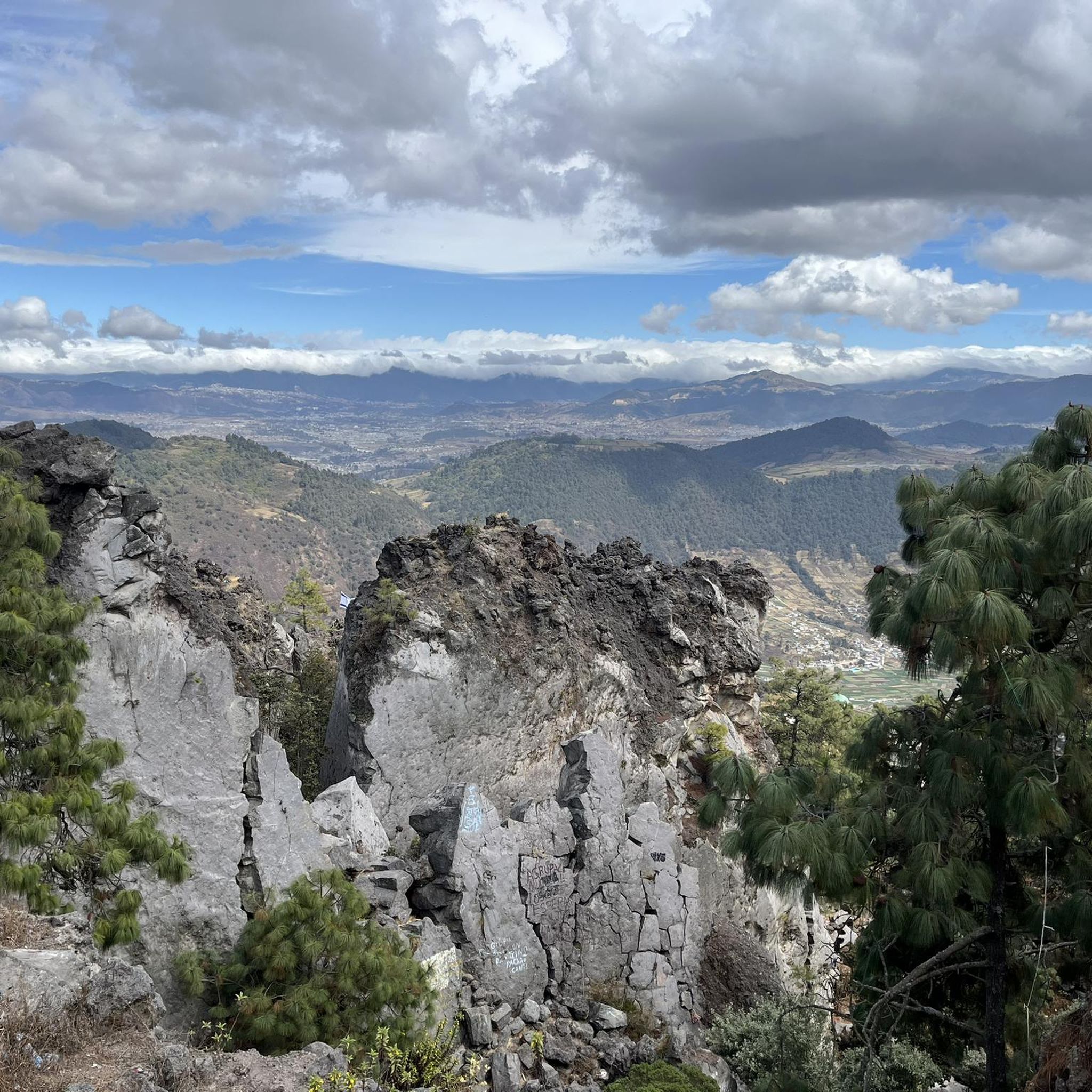

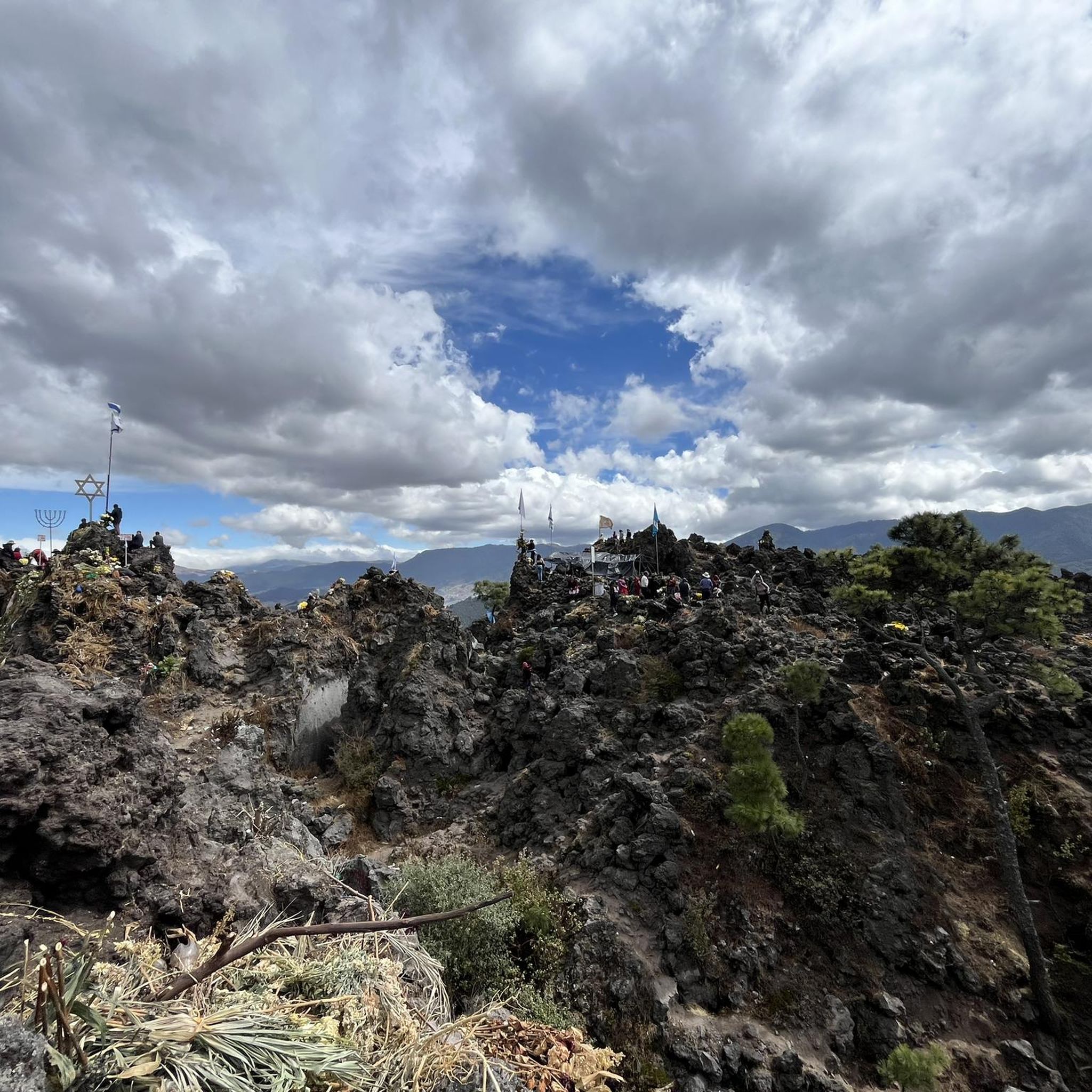

Tips from the Community


Frequently Asked Questions
How many touring cycling routes are available in Quetzaltenango?
Quetzaltenango offers a diverse network of over 20 touring cycling routes. These routes traverse varied terrain, including volcanic landscapes, verdant highlands, and cloud forests, providing options for different skill levels.
What kind of landscapes can I expect to see while touring cycling in Quetzaltenango?
You can expect to encounter dramatic volcanic landscapes, lush verdant highlands, and refreshing cloud forests. The region is characterized by significant vertical relief, with routes winding through valleys and ranges, often featuring pine, oak, and cypress trees amidst rocky outcrops. The Sierra de los Cuchumatanes, Central America's highest mountain range, provides particularly rewarding views.
What is the general difficulty level of touring cycling routes in Quetzaltenango?
The touring cycling routes in Quetzaltenango range from moderate to difficult. There are 8 moderate routes and 16 difficult routes, often involving significant elevation changes. Some paths may require very good fitness and advanced riding skills, with occasional sections where pushing your bike might be necessary.
Are there any circular touring cycling routes in Quetzaltenango?
Yes, many touring cycling routes in Quetzaltenango are designed as loops. For example, you can explore the In Case I Get Lost loop from Centro Histórico, a moderate 8.9-mile ride. Another option is the more challenging Bike loop from Seminario San Jose, which covers 18.2 miles with substantial elevation gain.
What do other touring cyclists say about the routes in Quetzaltenango?
The touring cycling routes in Quetzaltenango are highly rated by the komoot community, with an average score of 5.0 stars from 7 reviews. Cyclists often praise the varied terrain and the stunning natural beauty of the volcanic slopes, high-altitude cloud forests, and highland valleys.
Are there any longer touring cycling routes for experienced riders?
For experienced riders seeking a longer challenge, the Molino El Quetzal – In Case I Get Lost loop from Quetzaltenango is a difficult 33.4-mile route with over 3,600 feet of elevation gain. Another option is the In Case I Get Lost loop from Quetzaltenango, a difficult 13.1-mile path with over 1,700 feet of climbing.
What are some scenic viewpoints or attractions along the touring cycling routes?
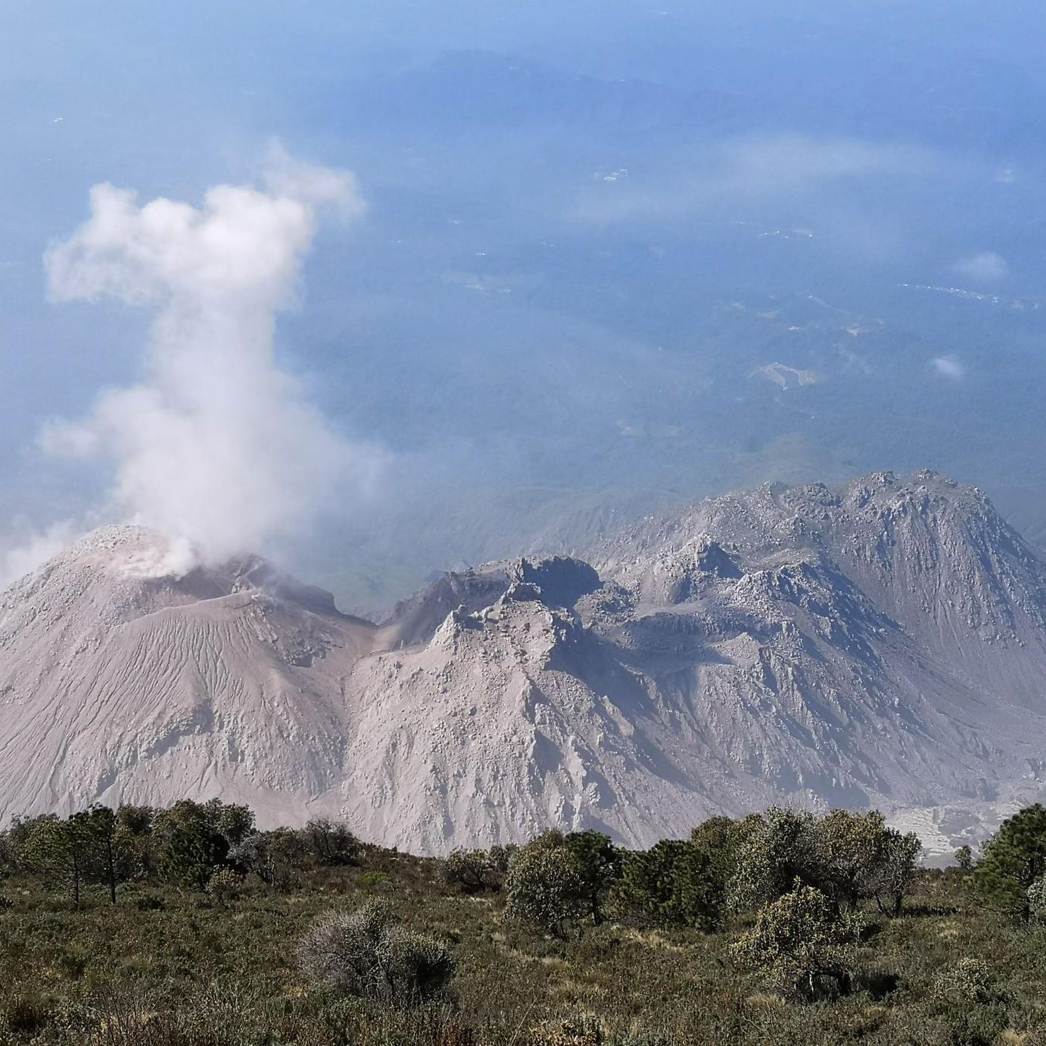
While cycling, you can enjoy views of the region's volcanoes and potentially spot the active Volcán Santiaguito from specific vantage points like the View of Volcán Santiaguito from Volcán Santa María. The Viewpoint at the White Cross – Parque Bonito loop from Quetzaltenango also offers varied terrain and scenic vistas. Additionally, the region is home to natural hot springs at Fuentes Georginas, which can be a relaxing stop after a ride.
Are there any routes that pass through or near natural attractions like waterfalls?
While the specific touring cycling routes listed here don't directly feature waterfalls, the broader Quetzaltenango region is known for natural features like the San Cristóbal Waterfalls Trail, which is popular for mountain biking. You might find opportunities to explore such attractions as side trips from your touring cycling base.
Can I find routes that are suitable for families or beginners?
The touring cycling routes in this guide are generally classified as moderate to difficult, often involving significant elevation changes. While there are no routes specifically marked as 'easy' for touring bicycles in this selection, some moderate loops like the Parque Bonito loop from Zona 11 (11.5 miles) might be manageable for families with some cycling experience, depending on fitness levels and the specific terrain encountered.
What is the best time of year for touring cycling in Quetzaltenango?
Quetzaltenango experiences distinct dry and wet seasons. The dry season, generally from November to April, offers more stable weather conditions with less rain, making it ideal for touring cycling. The wet season, from May to October, can bring afternoon showers, which might affect trail conditions, especially on unpaved surfaces.
Are there any multi-day touring cycling options in the region?
Yes, for those seeking a multi-day adventure, the Ruta Maya de los Cuchumatanes starts in Quetzaltenango. This route explores the high sierra in a clockwise fashion, offering an immersive experience of highland Maya communities and landscapes, including a challenging 1200-meter elevation gain to reach the Cuchumatanes plateau.
Most popular routes in Quetzaltenango
Most popular attractions in Quetzaltenango

Get inspired with the komoot mobile app


Didn’t find what you were looking for?
Check out more Cycling routes throughout Quetzaltenango below and find the perfect route in your destination.
Explore more
Browse the best Cycling routes in other regions.
