The best cycling routes in Olintepeque
5.0
(3)
106
riders
23
rides
Touring cycling in Olintepeque offers access to the volcanic landscapes and highland scenery of Guatemala's Quetzaltenango region. The area features diverse topography, including volcanic slopes and cloud forests, providing varied terrain for cyclists. Elevation changes are characteristic of the region, with routes traversing through forests of pine, oak, and cypress. Its proximity to Quetzaltenango allows for exploration of a wider network of routes.
Best touring cycling routes in Olintepeque
- The most popular touring cycling route is Viewpoint at the White…
Last updated: May 21, 2026
17
riders
14.4km
01:15
370m
370m
Moderate bike ride. Good fitness required. Mostly paved surfaces. Suitable for all skill levels.
5.0
(1)
12
riders
24.3km
01:36
220m
220m
Hard bike ride. Good fitness required. You may need to push your bike for some segments of this route.

Sign up for free
5.0
(1)
9
riders
32.8km
02:18
400m
400m
Moderate bike ride. Good fitness required. Mostly paved surfaces. Suitable for all skill levels.
6
riders
29.4km
02:34
860m
860m
Hard bike ride. Very good fitness required. Mostly paved surfaces. Suitable for all skill levels.
8
riders
26.0km
01:59
420m
420m
Moderate bike ride. Good fitness required. Mostly paved surfaces. Suitable for all skill levels.
5
riders
15.0km
01:19
390m
390m
Moderate bike ride. Good fitness required. Mostly paved surfaces. Suitable for all skill levels.
8
riders
24.2km
02:05
620m
620m
Hard bike ride. Very good fitness required. Mostly paved surfaces. Suitable for all skill levels.
7
riders
18.5km
01:28
390m
390m
Moderate bike ride. Good fitness required. Mostly paved surfaces. Suitable for all skill levels.
Get access to more routes and recommendations from other explorers.
Sign up for free
Already have an account?
Our route recommendations are based on thousands of hikes, rides, and runs completed by other people on komoot.
Start today with a free account
Your next adventure awaits.
Login or Signup
Popular around Olintepeque

Tips from the Community


Frequently Asked Questions
How many touring cycling routes are available in Olintepeque?
There are over 25 touring cycling routes available in the Olintepeque area. These routes offer a variety of experiences, from moderate to difficult, allowing cyclists to explore the region's diverse landscapes.
What is the typical terrain like for touring cycling in Olintepeque?
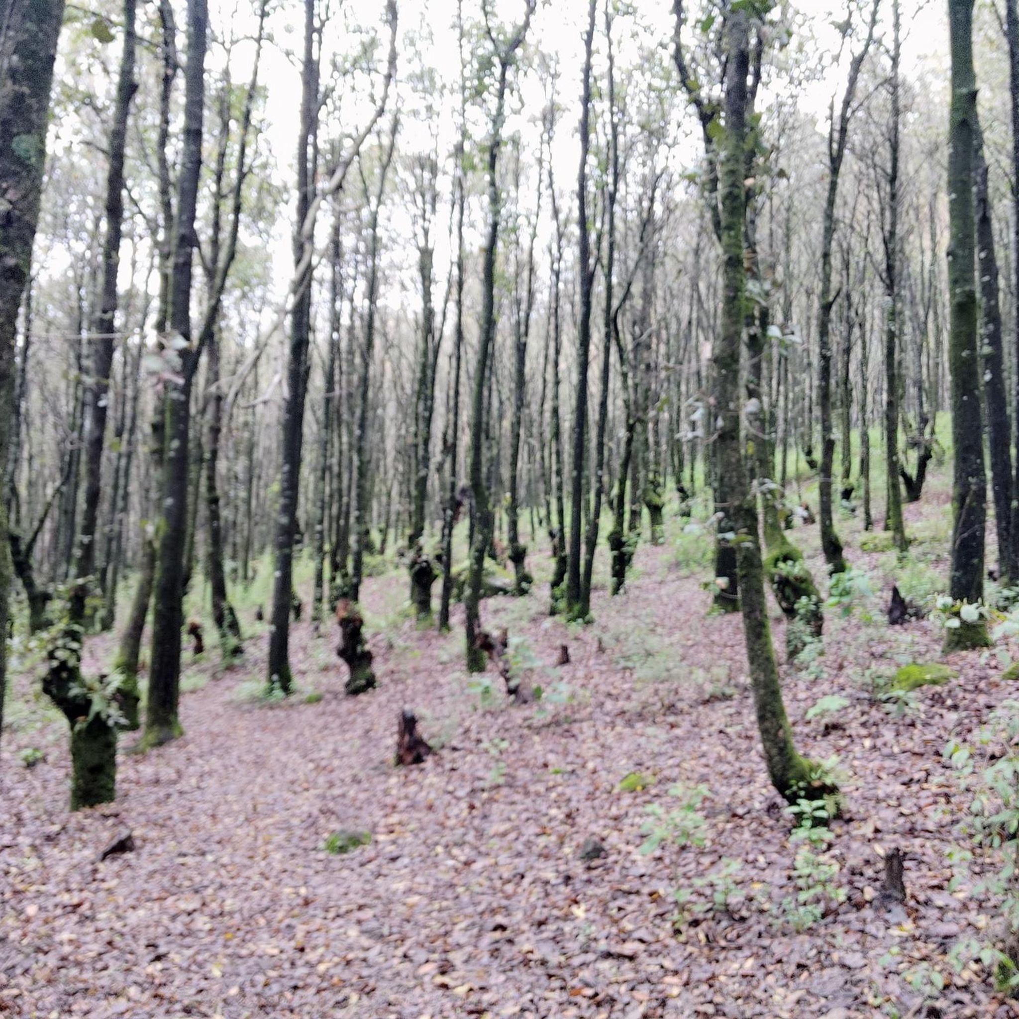
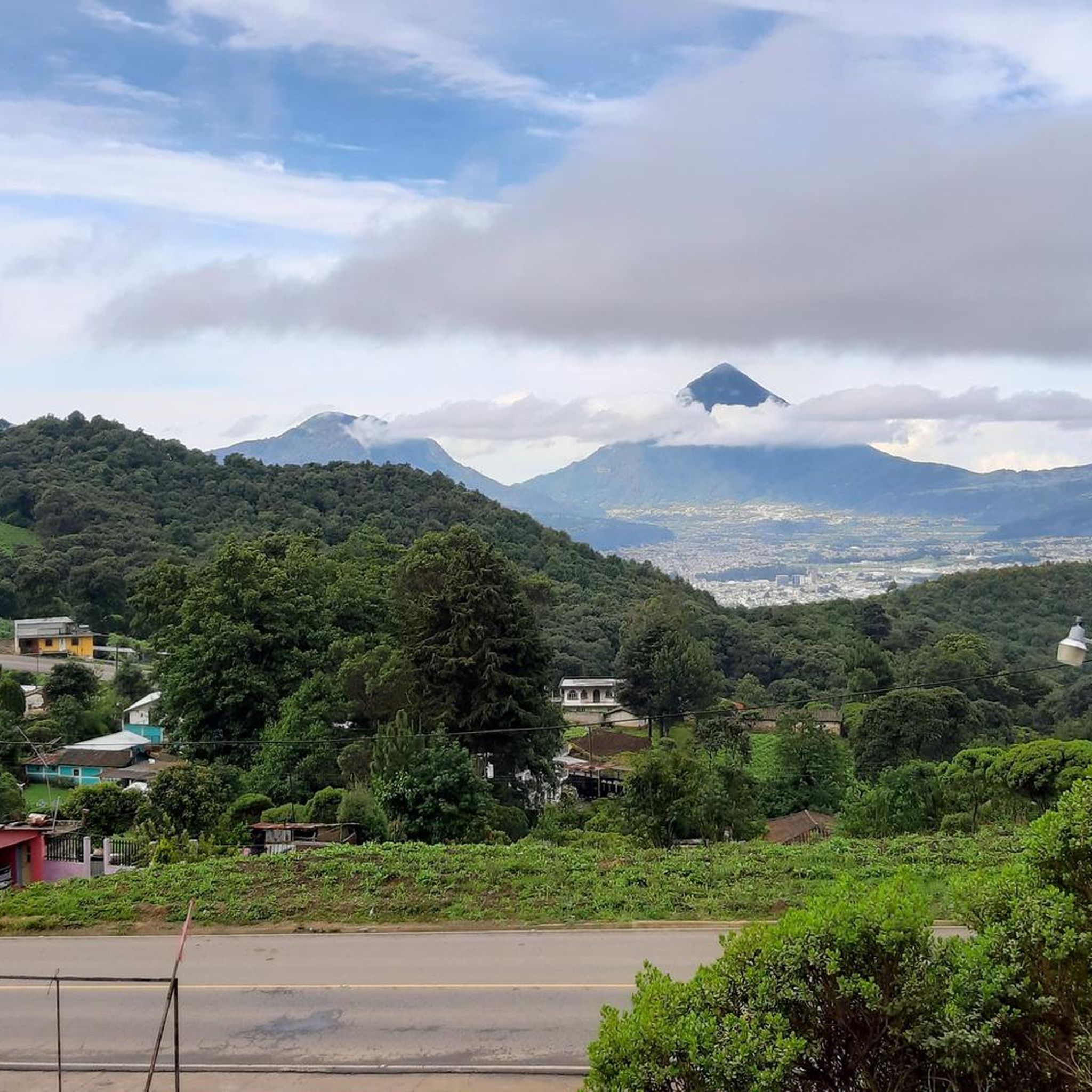
The terrain in Olintepeque is characterized by volcanic landscapes and highland scenery. You can expect significant elevation changes, with routes traversing through forests of pine, oak, and cypress. The region's topography includes volcanic slopes, verdant highlands, and cloud forests, offering both challenging climbs and rewarding descents.
Are there routes suitable for beginners or those looking for an easier ride?
While many routes in Olintepeque are considered difficult due to significant elevation changes, there are also several moderate options available. For example, the Viewpoint at the White Cross loop from Quetzaltenango is a moderate 20.4-mile (32.8 km) trail, and the Bike loop from La Esperanza is a moderate 9.3-mile (14.9 km) route.
When is the best time of year to go touring cycling in Olintepeque?
Olintepeque, being in the Guatemalan highlands, experiences a temperate climate with distinct wet and dry seasons. The dry season, generally from November to April, offers more stable weather conditions, making it ideal for touring cycling. However, the region is suitable for cycling for much of the year, with lush landscapes during the wet season.
Are there any circular touring cycling routes in the Olintepeque area?
Yes, many of the touring cycling routes in Olintepeque are designed as loops, allowing you to start and end in the same location. Examples include the Viewpoint at the White Cross – Parque Bonito loop from Quetzaltenango and the Bike loop from Seminario San Jose.
What kind of natural features can I expect to see along the cycling routes?
As you cycle through Olintepeque, you'll encounter stunning volcanic landscapes, verdant highlands, and cloud forests. The routes often pass through areas with pine, oak, and cypress trees, offering picturesque views and a varied natural backdrop. The dramatic elevation changes themselves are a key natural feature of the region.
Are there any specific landmarks or viewpoints to look out for on the touring cycling routes?
Yes, several routes highlight notable viewpoints. For instance, the Viewpoint at the White Cross – Parque Bonito loop from Quetzaltenango and the Viewpoint at the White Cross loop from Quetzaltenango both feature the prominent White Cross viewpoint, offering expansive vistas of the surrounding highlands.
Is public transport available to access the cycling routes in Olintepeque?
Olintepeque's proximity to Quetzaltenango (Xela), a major transportation hub, suggests that public transport options like local buses (chicken buses) or shared taxis (colectivos) could be used to reach starting points for routes. However, specific details for transporting bicycles via public transport would need local inquiry.
What are the parking options for touring cyclists in Olintepeque?
While specific parking areas for cyclists are not detailed, many routes start from or near Quetzaltenango. If driving to a starting point, it's advisable to look for secure parking facilities in towns or designated areas, especially if leaving a vehicle for an extended period. Local accommodations might also offer parking for guests.
Are there family-friendly touring cycling routes in Olintepeque?
Given the region's challenging terrain and significant elevation changes, most touring cycling routes in Olintepeque are rated moderate to difficult. While there are no explicitly designated 'family-friendly' routes, families with older, experienced children who are comfortable with climbs and longer distances might find some of the moderate routes, such as the Parque Bonito loop from Zona 11, enjoyable.
Can I bring my dog on the touring cycling routes in Olintepeque?
While there are no specific regulations prohibiting dogs on the general touring cycling routes in Olintepeque, it's always recommended to keep dogs on a leash and ensure they are well-behaved, especially when passing through villages or near livestock. Be mindful of the challenging terrain and potential for traffic on some roads, and ensure your dog is fit for the ride.
What do other touring cyclists say about the routes in Olintepeque?
The touring cycling routes in Olintepeque are highly rated by the komoot community, with an average score of 5.0 stars from more than 5 reviews. Cyclists often praise the challenging yet rewarding nature of the rides, the stunning volcanic and highland scenery, and the unique cultural immersion offered by traversing through traditional K'iche' communities.
Most popular routes in Olintepeque

Get inspired with the komoot mobile app


Explore more
Browse the best Cycling routes in other regions.
