The best MTB trails around Hagenbach
4.6
(1509)
6,674
riders
421
rides
Mountain biking around Hagenbach features routes primarily along the Rhine Riverside Path, traversing flat terrain with occasional gentle rises. The area is characterized by open fields, agricultural land, and sections of woodland, offering a mix of natural and cultivated landscapes. The low elevation gain across most routes indicates a generally level riding experience.
Best mountain bike trails around Hagenbach
- The most popular mountain bike trail is Rhine Riverside Path – Sandy Beach at Goldkanal loop from Hagenbach, a 34.6…
Last updated: May 23, 2026
4.6
(37)
148
riders
Moderate mountain bike ride. Good fitness required. Suitable for all skill levels.
4.5
(2)
10
riders
39.3km
02:38
100m
100m
Moderate mountain bike ride. Good fitness required. Suitable for all skill levels.

Sign up for free
5.0
(1)
8
riders
51.5km
02:44
130m
130m
Moderate mountain bike ride. Good fitness required. Suitable for all skill levels.
5.0
(1)
5
riders
Moderate mountain bike ride. Good fitness required. Advanced riding skills necessary.
5.0
(4)
10
riders
Easy mountain bike ride. Great for any fitness level. Suitable for all skill levels.
Get access to more routes and recommendations from other explorers.
Sign up for free
Already have an account?
Our route recommendations are based on thousands of hikes, rides, and runs completed by other people on komoot.
Start today with a free account
Your next adventure awaits.
Login or Signup
Tips from the Community

The Altrhein near Plittersdorf is a former arm of the Rhine, which was separated from the main current by the Rhine regulation in the 19th century (also called Rhine straightening). Today, the Altrhein is a calm, mostly slow-flowing or stagnant body of water in the Rhine floodplain near Plittersdorf. It is surrounded by floodplain forests, meadows, and small bodies of water. This natural landscape offers many animal and plant species an important habitat, for example birds such as herons and swans, as well as various fish species. In the past, the Rhine flowed directly past Plittersdorf and often led to floods. The course of the river was changed by the straightening, and the Altrhein was preserved as a "remnant" of the old Rhine. Today, it has above all ecological significance and also serves as a recreational area for people.
0
0
The Sauer is a tributary of the Rhine, approximately 70 km long. It originates in the Palatinate Forest near the Franco-German border. On its course, it flows through the Northern Vosges and partly forms the border between Germany and France. It then crosses Alsace before flowing into the Rhine near Munchhausen. The Sauer has a catchment area of about 800 km² and an average discharge of around 6 m³ per second.
0
0
Willow bushes, marshy areas and reeds - the Sauer Delta nature reserve is an unusual landscape! It was declared a nature reserve by ministerial decree in 1997 and 486 ha were protected. From an ornithological, botanical and landscape perspective, it is a truly exceptional area and one of the last regions in France where the Rhine floodwaters can still spread out.
0
0

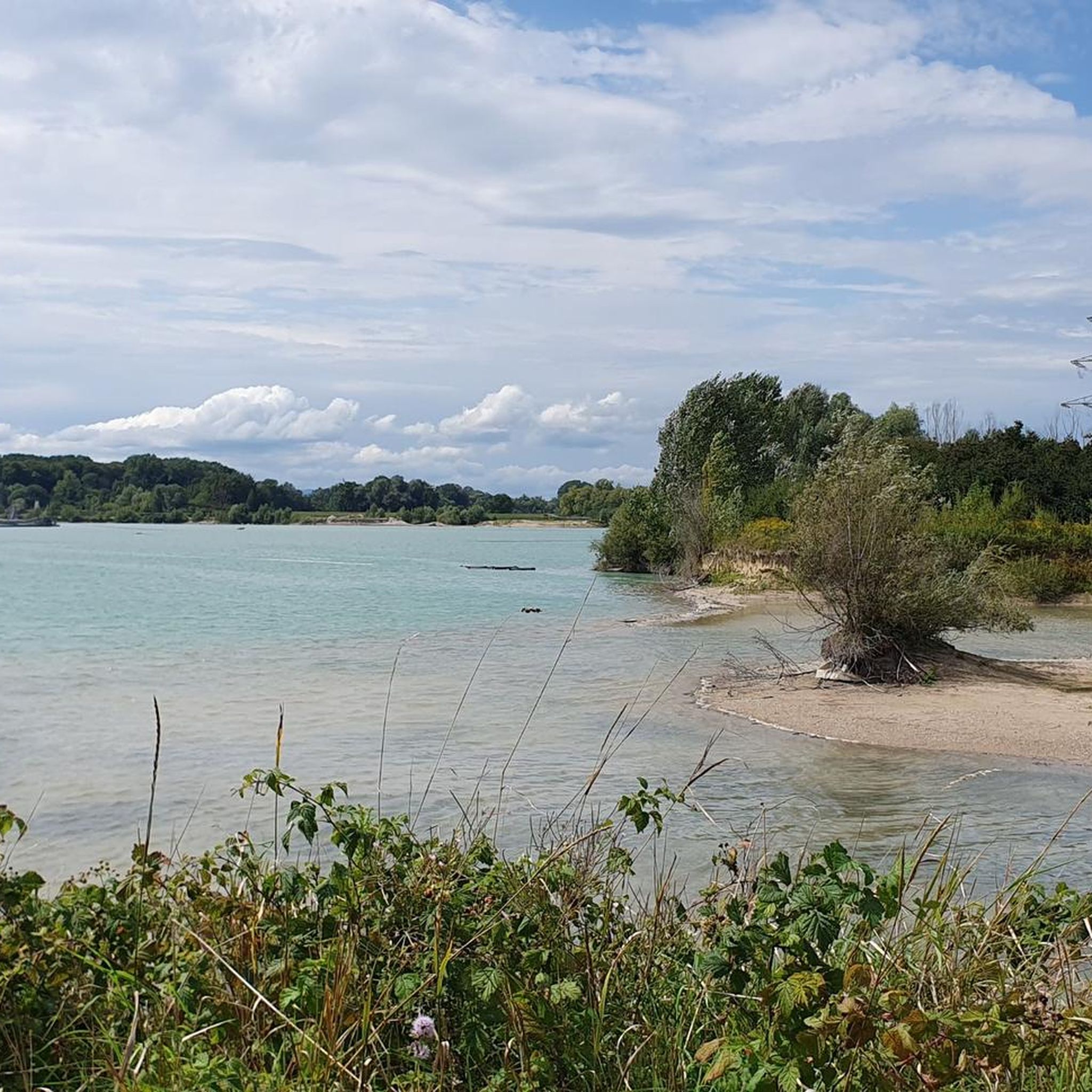
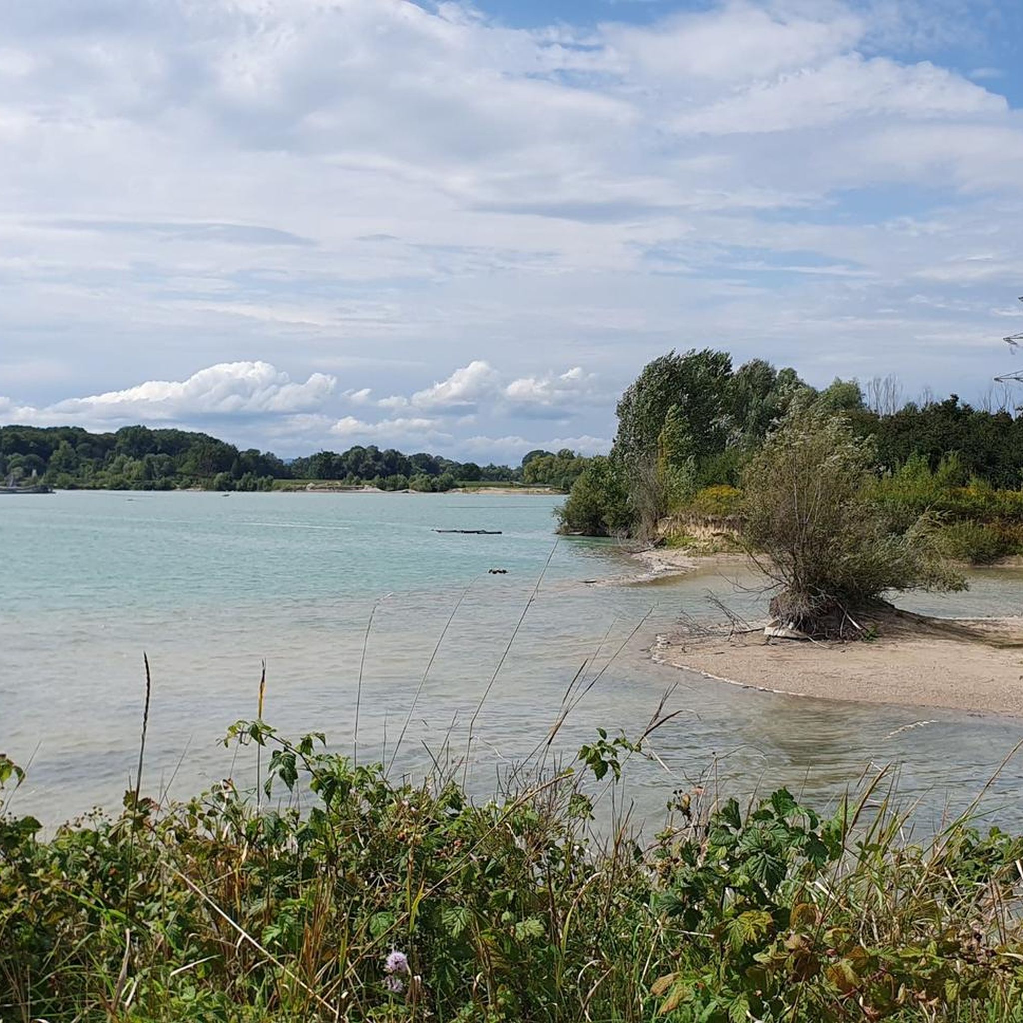
Beautiful sandy beach - good for swimming here, if the beach isn't underwater due to high water levels 😉
3
0

Beautiful area, well-developed cycle path.
1
0

Many old half-timbered houses and the Church of St. George.
0
0


Lunch (today e.g. pork schnitzel with fries and sauce) for 10€ in super quality 👍
0
0
Frequently Asked Questions
How many mountain bike trails are available around Hagenbach?
There are over 400 mountain bike trails around Hagenbach. The region offers a wide variety of routes, with 177 easy, 232 moderate, and 24 difficult trails to choose from.
What is the general difficulty level of mountain bike trails in Hagenbach?
Mountain biking around Hagenbach is generally accessible, with a good mix of easy and moderate routes. The terrain is primarily flat along the Rhine Riverside Path, with occasional gentle rises. While most routes are easy to moderate, there are also some more challenging options for experienced riders.
Are there any family-friendly mountain bike routes in Hagenbach?
Yes, Hagenbach offers several family-friendly mountain bike routes, particularly those that stick to the flatter Rhine Riverside paths. An excellent option for families looking for an easier ride is the Rhine Riverside Path – View of Neuburg am Rhein loop from Neuburg (Rhein), which is 17.7 km long and classified as easy.
Are there mountain bike trails that form a loop in Hagenbach?
Yes, many mountain bike trails in Hagenbach are designed as loops, offering convenient starting and ending points. For example, the White Cross – Bienwaldmühle loop from Neuburg (Rhein) is a popular moderate 40 km loop that takes you through forested areas and open landscapes.
What are the typical lengths of mountain bike trails near Hagenbach?
The lengths of mountain bike trails near Hagenbach vary significantly. You can find shorter, easy routes around 15-20 km, while many moderate trails range from 30 km to over 50 km. For instance, the Hirschbrunnen Well – Roman Road loop from Neuburg (Rhein) is a moderate 40.8 km route.
What do other mountain bikers enjoy most about mountain biking in Hagenbach?
The mountain bike trails around Hagenbach are highly rated by the komoot community, with an average score of 4.6 stars from over 1200 reviews. Riders often praise the scenic Rhine riverside paths, the mix of open fields and woodlands, and the generally flat terrain that makes for enjoyable, accessible rides.
What is the best time of year for mountain biking in Hagenbach?
The best time for mountain biking in Hagenbach is typically from spring through autumn (April to October). During these months, the weather is generally mild and pleasant, and the trails are in good condition. While winter riding is possible, be prepared for colder temperatures and potentially muddy or icy conditions, especially in shaded woodland areas.
Are there any scenic viewpoints or natural attractions along the mountain bike routes?
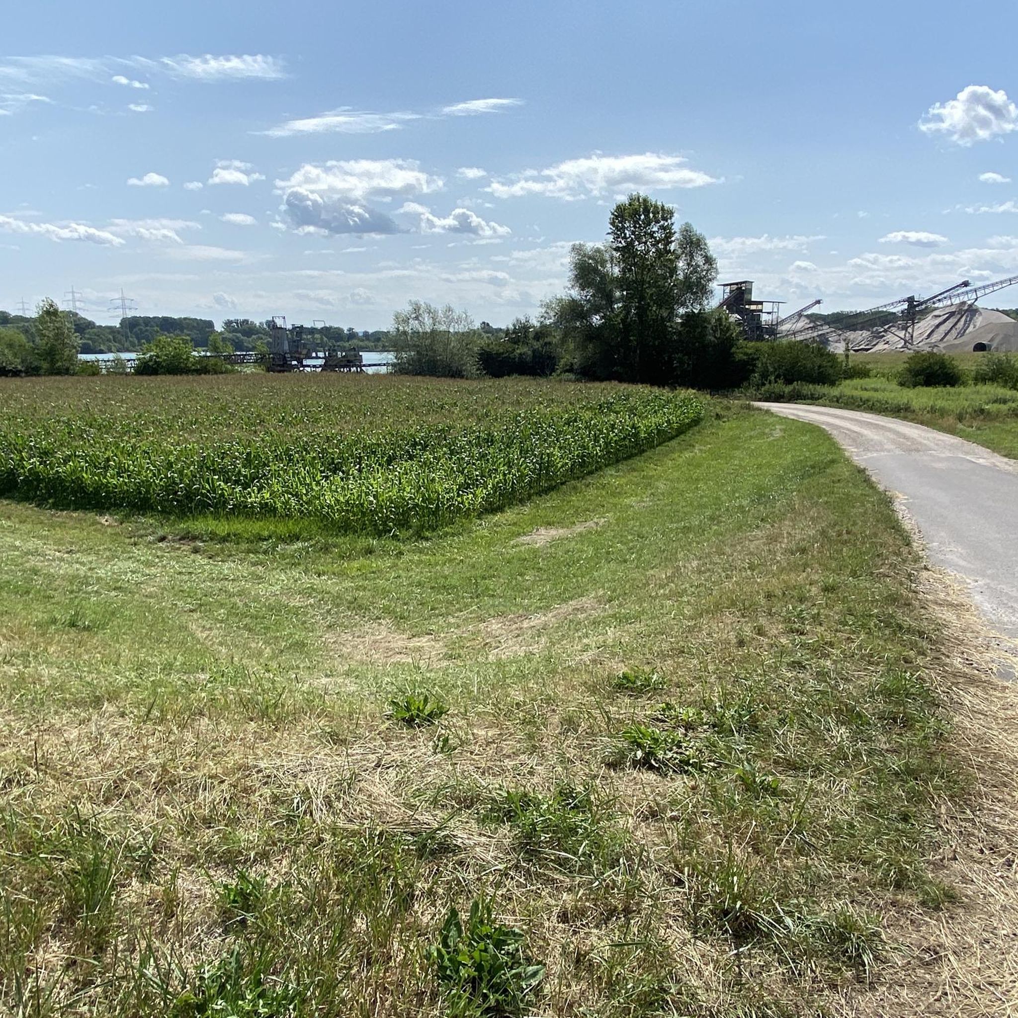
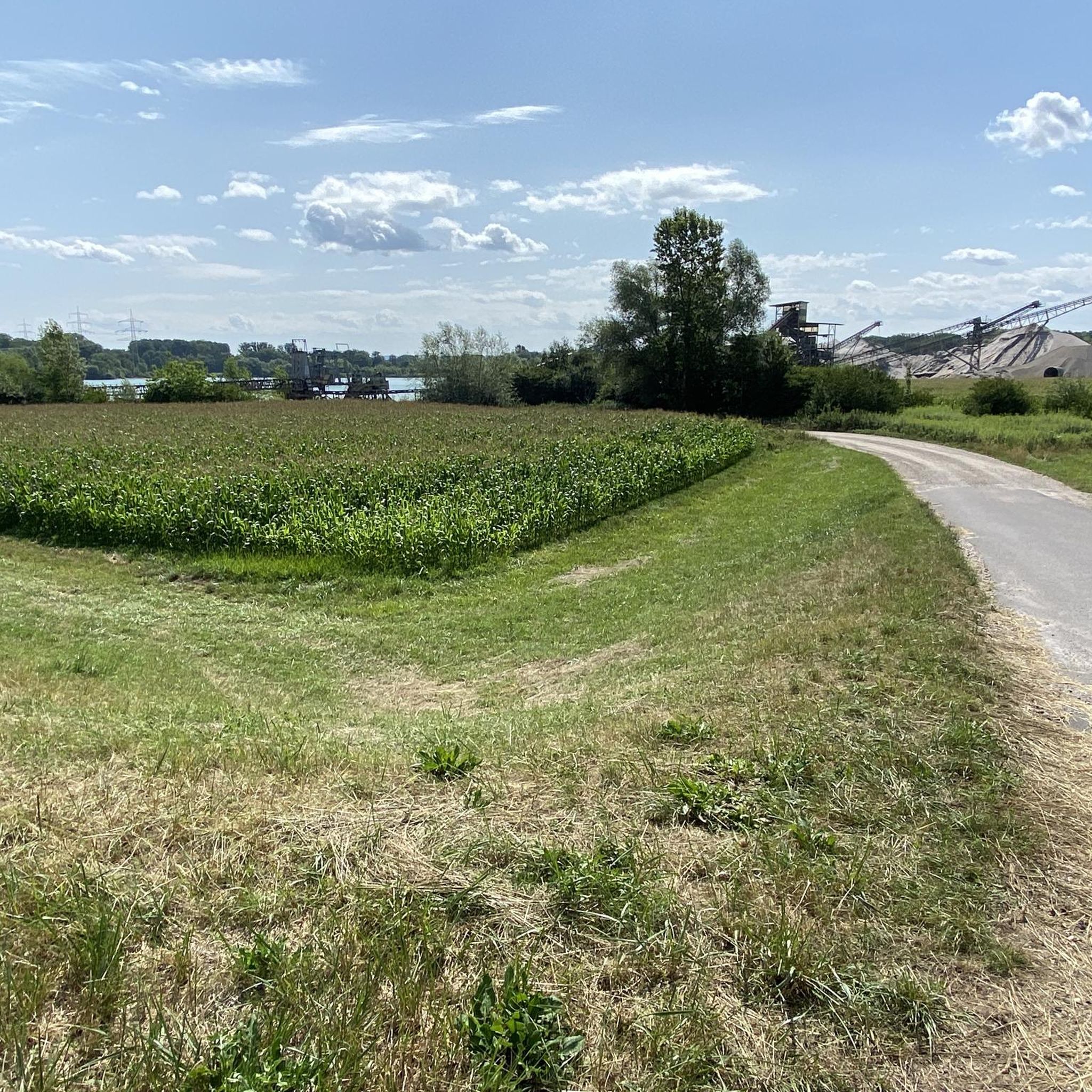
Yes, many routes offer scenic views, particularly along the Rhine River. The area is characterized by open fields, agricultural land, and sections of woodland. The Rhine Riverside Path – Sandy Beach at Goldkanal loop from Hagenbach offers views of the river and access to a sandy beach. You might also encounter historical points of interest, such as those near Kandel on the White Cross – Historic old town of Kandel loop from Neuburg (Rhein).
Are there any bike parks or dedicated mountain biking areas near Hagenbach?
Yes, for those looking for more specialized mountain biking experiences, there are several bike parks and dedicated trails nearby. Notable options include the Seven Hills Mountain Bike Trails, Ettlinger Linie Bike Park, and the Pumptrack Niederlauternbach.
What historical sites or castles can be explored while mountain biking around Hagenbach?
While mountain biking around Hagenbach, you can discover several historical sites and castles. Consider visiting Karlsruhe Palace, the Castle Square, or the Scheibenhardt Castle and Estate with Avenue. These attractions offer a glimpse into the region's rich history and can be incorporated into longer rides.
Are there options for advanced mountain bikers seeking a challenge?
While the region is known for its generally flat and accessible terrain, there are 24 trails classified as difficult for advanced mountain bikers. These routes often feature more technical sections or greater elevation changes compared to the predominant riverside paths and agricultural trails. You can find these more challenging options by filtering for 'difficult' trails on komoot.
Most popular routes around Hagenbach
Most popular attractions around Hagenbach

Get inspired with the komoot mobile app


Explore more
Browse the best MTB trails in other regions.
