
The best running trails in Acosta
149
runners
9
runs
Jogging in Acosta offers diverse experiences across its mountainous terrain and varied elevation. The region, located in the province of San José, features a mean elevation of over 1,000 meters, providing a cooler climate and challenging routes. Natural landscapes, including rivers and hills, define the environment, making it suitable for physical activity. This topography creates a range of running opportunities, from moderate paths to demanding trails with significant inclines.
Best jogging routes in Acosta
- The most popular jogging route is…
Last updated: July 3, 2026
20
runners
6.42km
00:40
50m
50m
Moderate run. Good fitness required. Mostly paved surfaces. Suitable for all skill levels.
15
runners
17.6km
02:08
620m
620m
Hard run. Very good fitness required. Mostly paved surfaces. Suitable for all skill levels.

Sign up for free
8
runners
16.4km
02:47
1,120m
1,120m
Hard run. Very good fitness required. Sure-footedness, sturdy shoes and alpine experience required.
6
runners
20.7km
02:53
1,020m
1,020m
Hard run. Very good fitness required. Mostly paved surfaces. Suitable for all skill levels.
5
runners
22.6km
02:26
350m
350m
Hard run. Very good fitness required. Mostly paved surfaces. Suitable for all skill levels.
3
runners
6.26km
00:39
70m
70m
Moderate run. Good fitness required. Mostly paved surfaces. Suitable for all skill levels.
3
runners
5.96km
00:38
70m
70m
Moderate run. Good fitness required. Mostly paved surfaces. Suitable for all skill levels.
Get access to more routes and recommendations from other explorers.
Sign up for free
Already have an account?
Our route recommendations are based on thousands of hikes, rides, and runs completed by other people on komoot.
Start today with a free account
Your next adventure awaits.
Login or Signup
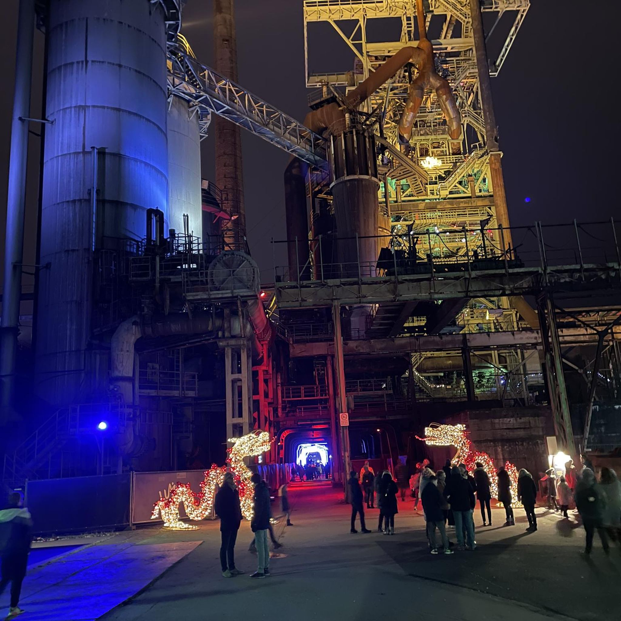
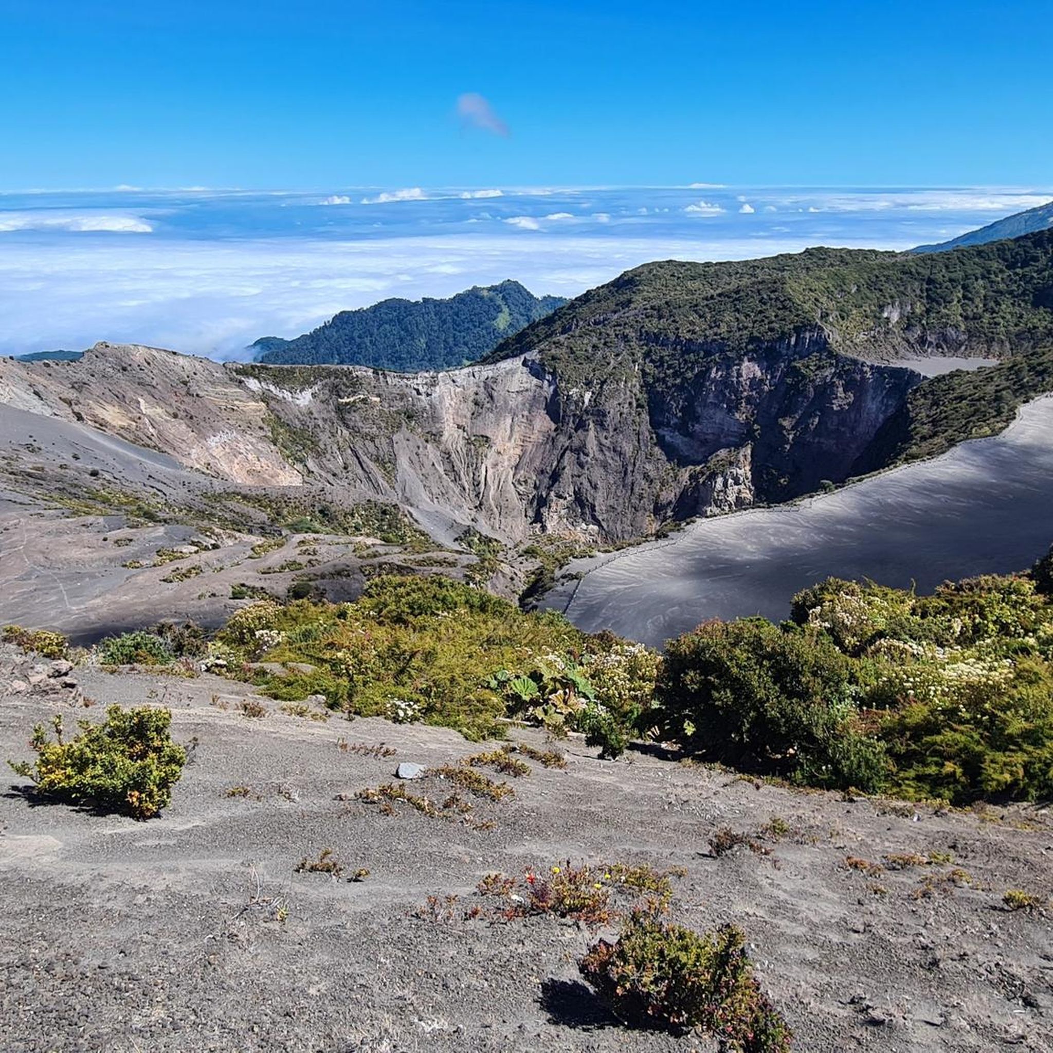
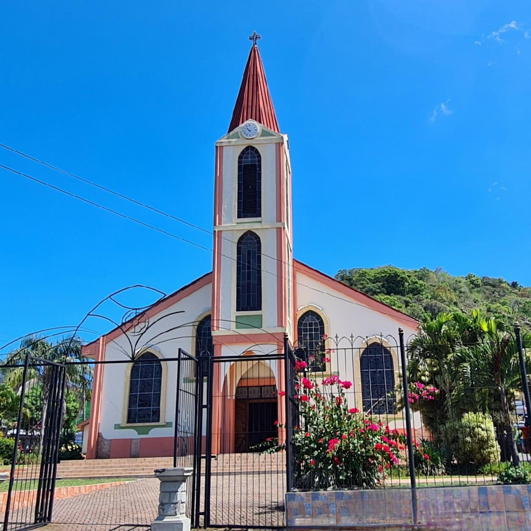
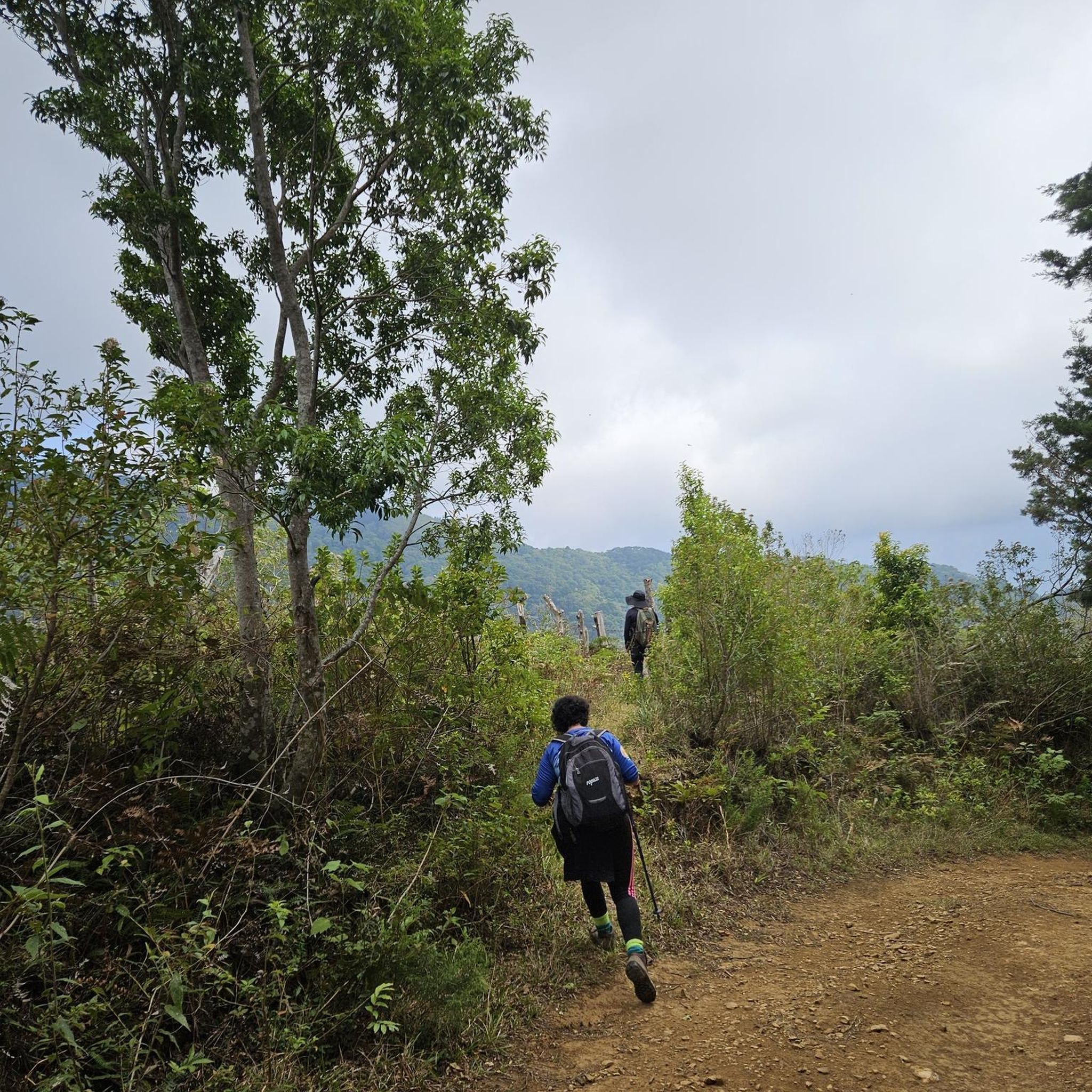

Tips from the Community

narrow street but with excellent ride
0
0
Frequently Asked Questions
How many running routes are available in Acosta?
Acosta offers a selection of 9 diverse running routes on komoot. These trails cater to various fitness levels, from moderate loops to more challenging long-distance paths through the region's mountainous terrain.
Are there easy running routes for beginners in Acosta?
While Acosta's terrain is generally mountainous and can be challenging, there are some moderate options available. For instance, the Parque Trejos de Montealegre loop from Escazú is a 4.0-mile (6.4 km) route that takes about 40 minutes to complete, offering a pleasant experience without extreme elevation changes. Another moderate option is the Running loop from San Juan de Dios, which is 3.9 miles (6.3 km) long.
What are some challenging long-distance running trails in Acosta?
Acosta is ideal for runners seeking a challenge due to its varied elevation. The Running loop from Colón is a difficult 10.9-mile (17.6 km) path with significant elevation gain. Another demanding option is the Cerro San Miguel loop from Alajuelita, a 10.2-mile (16.4 km) trail through mountainous terrain, often completed in about 2 hours 47 minutes.
Can I find circular running routes in Acosta?
Yes, many of the running routes in Acosta are designed as loops, allowing you to start and finish at the same point. Examples include the Parque Trejos de Montealegre loop from Escazú and the Running loop from Colón, which are popular circular options.
Are there running trails with scenic views in Acosta?
Absolutely. Acosta's mountainous geography and elevation mean many routes offer panoramic views of the surrounding landscapes. The region's natural beauty, including rivers and diverse topography, provides a scenic backdrop for your run. While specific viewpoints aren't detailed for every route, the general environment promises inspiring vistas.
Is Acosta suitable for family-friendly jogging?
Acosta's focus on outdoor activities and natural environments makes it a good place for families who enjoy being active. While many routes are challenging, the moderate trails, such as the Running loop from Uruca (3.7 miles / 6.0 km), could be suitable for families looking for a less strenuous run or walk together. Always check the route difficulty and length to ensure it matches your family's fitness level.
Are the running routes in Acosta dog-friendly?
Acosta's natural landscapes and rural setting generally lend themselves to dog-friendly outdoor activities. While specific regulations for each trail are not provided, many natural trails in Costa Rica are welcoming to well-behaved dogs on a leash. It's always recommended to check local signage or community guidelines for specific routes before heading out with your canine companion.
What is the best time of year to go jogging in Acosta?
Acosta, with its mean elevation of over 1,000 meters, offers a cooler climate than lower-lying areas, making it pleasant for jogging year-round. The dry season (typically December to April) offers sunny weather and firmer trails. The green season (May to November) brings rain, which can make trails muddy but also enhances the lushness of the landscape and provides a refreshing atmosphere. Consider your preference for weather and trail conditions when planning your visit.
Are there any specific considerations for jogging during the rainy season in Acosta?
During Acosta's rainy season (May to November), trails can become muddy and slippery, especially on mountainous paths. It's advisable to wear appropriate trail running shoes with good grip and consider waterproof gear. Rivers might also swell, so exercise caution. However, the rain often brings a refreshing coolness and enhances the vibrant green of the natural surroundings, offering a unique jogging experience.
Are there any hidden gem running trails in Acosta that are less known?
While the guide highlights popular routes, Acosta's extensive natural landscapes and focus on rural sports tourism suggest many less-traveled paths. For a slightly different experience, consider the Fresh Market Escazú – Parque Trejos de Montealegre loop from San Antonio. At 14.2 miles (22.8 km), it's a longer, more challenging route that might offer a more secluded experience away from the most frequented trails.
What kind of terrain can I expect on Acosta's running routes?
Acosta's running routes are characterized by varied mountainous terrain. You can expect significant elevation changes, from rolling hills to steep inclines, and paths that wind through natural landscapes, often alongside rivers. The diverse topography provides a dynamic and engaging experience for runners, offering both physical challenge and scenic beauty.
Does Acosta promote outdoor sports like running?
Yes, Acosta is actively promoting itself as a destination for outdoor activities through initiatives like "Acosta Experience." This program specializes in offering integrated sports experiences in naturally rich environments, including running and mountain biking. This strong emphasis on sports tourism highlights the canton's commitment to showcasing its natural beauty through athletic endeavors.
Most popular routes in Acosta

Get inspired with the komoot mobile app


Didn’t find what you were looking for?
Check out more Running Trails & Routes throughout Acosta below and find the perfect route in your destination.
Explore more
Browse the best Running Trails & Routes in other regions.
