The best walks and hikes in Talamanca
4.6
(321)
3,202
hikers
32
hikes
Hiking trails in Talamanca traverse a region characterized by the Cordillera de Talamanca mountain range, featuring high peaks and diverse ecosystems. The landscape includes dense primary forests, lush cloud forests, and tropical rainforests, with elevations reaching over 12,500 ft (3,800 m). Crystal-clear rivers and numerous waterfalls are also prominent features within this biodiversity hotspot. The area is a UNESCO World Heritage site, offering varied terrain for outdoor activities.
Best hiking trails in Talamanca
- The most popular hiking route is Cahuita…
Last updated: July 2, 2026
4.9
(144)
1,239
hikers
12.7km
03:15
40m
40m
Moderate hike. Good fitness required. Easily-accessible paths. Suitable for all skill levels.
4.8
(53)
654
hikers
9.97km
02:33
40m
40m
Moderate hike. Good fitness required. Easily-accessible paths. Suitable for all skill levels.

Sign up for free
4.8
(49)
334
hikers
Moderate hike. Good fitness required. Easily-accessible paths. Suitable for all skill levels.
4.6
(8)
191
hikers
Easy hike. Great for any fitness level. Easily-accessible paths. Suitable for all skill levels.
4.6
(7)
114
hikers
Easy hike. Great for any fitness level. Easily-accessible paths. Suitable for all skill levels.
4.7
(9)
42
hikers
Moderate hike. Good fitness required. Easily-accessible paths. Suitable for all skill levels.
4.5
(4)
43
hikers
Easy hike. Great for any fitness level. Easily-accessible paths. Suitable for all skill levels.
4.8
(4)
17
hikers
Moderate hike. Good fitness required. Easily-accessible paths. Suitable for all skill levels.
5.0
(3)
36
hikers
Easy hike. Great for any fitness level. Easily-accessible paths. Suitable for all skill levels.
4.4
(5)
28
hikers
Moderate hike. Good fitness required. Easily-accessible paths. Suitable for all skill levels.
Get access to more routes and recommendations from other explorers.
Sign up for free
Already have an account?
Our route recommendations are based on thousands of hikes, rides, and runs completed by other people on komoot.
Start today with a free account
Your next adventure awaits.
Login or Signup
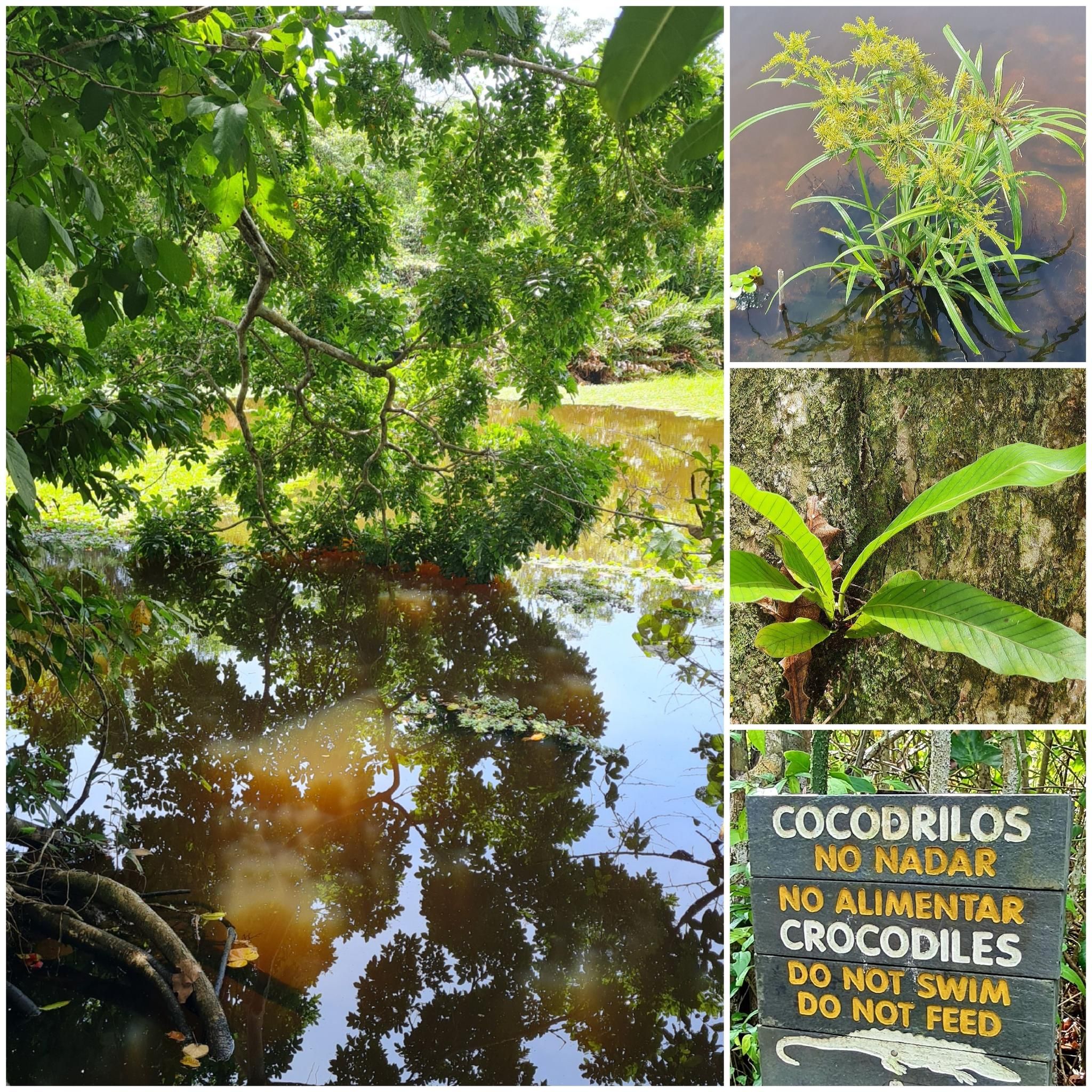
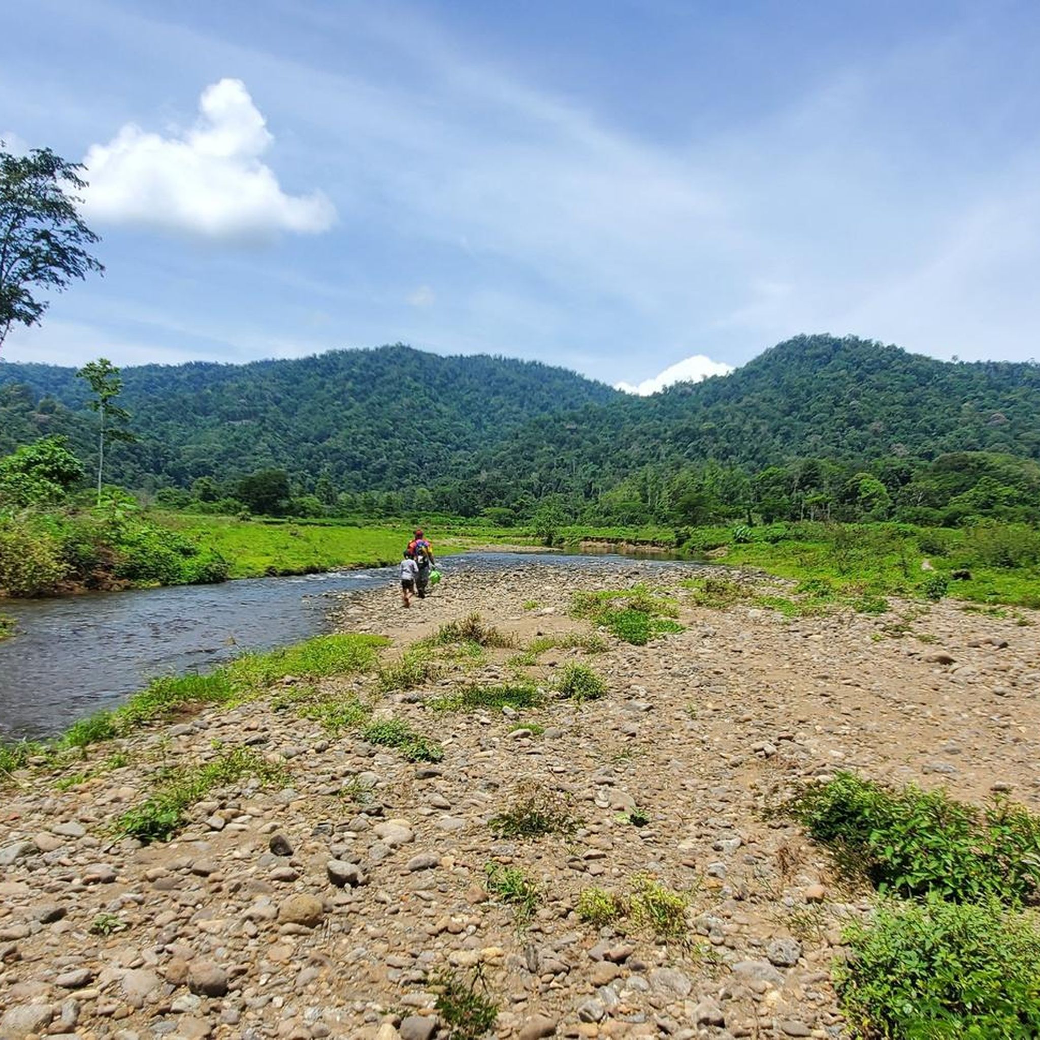
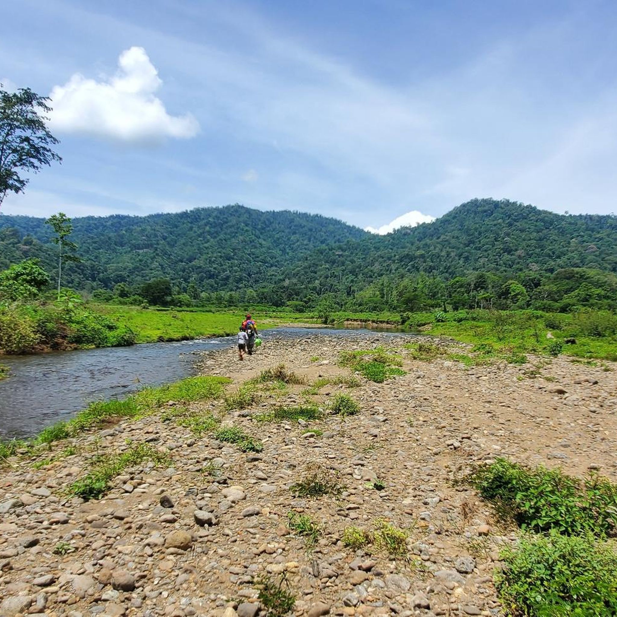



Tips from the Community


This trip is absolutely worthwhile if you're in Limon (Costa Rica) 👍🏻👍🏻👍🏻
0
1


Snorkeling is only allowed here with a guide (as of January 2025)
0
0
If you hike from Cahuita to Puerto Vargas, you can take the bus back to Cahuita from Puerto Vargas. The stop is right on the main road. Info: you must leave Punta Cahuita by 2 p.m.
1
2

When we were in the water, police officers guarded our backpacks, great service!
0
0

A beautiful beach 🏝️ There's something going on here, especially late at dusk: music, beach volleyball, etc.
0
0
That's probably true! It's wonderful!!!
0
0
Frequently Asked Questions
What types of hiking trails can I find in Talamanca?
Talamanca offers a diverse range of hiking experiences, from easy coastal walks to challenging multi-day ascents in the mountains. You'll find trails through dense primary forests, lush cloud forests, and tropical rainforests. The region features towering mountains, crystal-clear rivers, and numerous waterfalls. There are over 30 routes available, catering to various ability levels, including 22 easy, 9 moderate, and 1 difficult trail.
Are there any easy, family-friendly hikes in Talamanca?
Yes, Talamanca has several easy trails suitable for families. For instance, the Santera Fund – Cahuita National Park loop from Cahuita is an easy 2.4-mile (3.9 km) route. Another great option is the Puerto Vargas Ranger Station – Los Cativos Trail loop from Comadre, which is 3.5 miles (5.7 km) and also considered easy. These trails often provide opportunities to experience the region's natural beauty without significant elevation gain.
What kind of wildlife can I expect to see while hiking in Talamanca?
Talamanca is a biodiversity hotspot, so you can expect to encounter a rich variety of wildlife. The region is home to around 600 species of birds, including the resplendent quetzal, and 215 species of mammals like tapirs, jaguars, ocelots, wild pigs, white-faced monkeys, and howler monkeys. Keep an eye out for diverse flora too, such as orchids, bromeliads, and huge old-growth trees. The Cahuita National Park is particularly known for its abundant wildlife.
Are there any circular hiking routes in Talamanca?
Many trails in Talamanca are designed as loops, offering varied scenery without retracing your steps. A popular moderate option is the Punta Cahuita – Cahuita National Park loop from Cahuita, which is 6.2 miles (10.0 km) long. Another moderate loop is the Jaguar Rescue Center – View of Punta Uva Rock loop from Jaguar rescue center, covering 6.7 miles (10.9 km).
What are some notable natural features or landmarks to see along the trails?
Talamanca is rich in natural wonders. You can explore the coastal ecosystems of Cahuita National Park, or experience the unique Wooden Walkway in Cahuita National Park. For those seeking high-altitude adventures, the Cerro Chirripó Summit offers breathtaking views. The region also features crystal-clear rivers like Río Suárez and numerous waterfalls.
Do I need a permit to hike in certain areas of Talamanca?
Yes, for some of the more protected or challenging areas, permits are required. For example, hiking to Cerro Chirripó, Costa Rica's highest peak, within the Cerro Chirripó National Park, requires advance booking and permits. Similarly, access to parts of La Amistad International Park may also require permits. It's always advisable to check with the respective park authorities before planning your trip.
What is the best time of year to go hiking in Talamanca?
Talamanca experiences varied microclimates due to its diverse altitudes. Generally, the drier months from December to April are considered ideal for hiking, especially for higher elevations like Cerro Chirripó, as trails are less muddy and views are clearer. However, the cloud forests and rainforests remain lush year-round, and even during the rainy season (May to November), you can find good hiking days, often with fewer crowds and vibrant vegetation.
Are there any long-distance or multi-day hiking opportunities in Talamanca?
Yes, Talamanca is renowned for its challenging multi-day hikes, particularly in the higher elevations of the Cordillera de Talamanca. The ascent to Cerro Chirripó Summit is a prime example, often taking several days to complete and offering a truly immersive wilderness experience. These routes require significant preparation and physical fitness.
What do other hikers say about the trails in Talamanca?
The hiking routes in Talamanca are highly regarded by the komoot community, holding an impressive average rating of 4.8 stars from nearly 300 reviews. Hikers frequently praise the region's stunning biodiversity, the well-maintained trails within national parks, and the opportunity to experience diverse ecosystems from coastal areas to high mountain peaks. Many appreciate the chance to spot unique wildlife and enjoy the natural beauty.
Are there any trails that offer views of the Caribbean coast?
Absolutely. Several trails in the Talamanca region, particularly those within or near Cahuita National Park, offer beautiful views of the Caribbean coast. The Punta Cahuita – Cahuita National Park loop from Ticket office Puerto Vargas is a 7.9-mile (12.7 km) trail that leads through coastal forests and along the shoreline, providing scenic vistas of the Caribbean Sea.
Can I find trails suitable for different fitness levels?
Yes, Talamanca caters to a wide range of fitness levels. The region offers 22 easy routes for casual walkers or families, 9 moderate trails for those seeking a bit more challenge, and 1 difficult route for experienced hikers looking for strenuous, high-altitude adventures. This variety ensures that everyone can find a suitable path to explore the region's diverse landscapes.
Are there any trails near the Jaguar Rescue Center?
Yes, there are trails in the vicinity of the Jaguar Rescue Center. For example, the View of Punta Uva Rock – Jaguar Rescue Center loop from stop to Sixaloa is a moderate 10.7-mile (17.2 km) route that connects these areas, offering a chance to explore the local environment. Another option is the View of Punta Uva Rock – Jaguar Rescue Center loop from Parque de Puerto Viejo, a moderate 6.2-mile (10.1 km) trail.
Most popular attractions in Talamanca

Get inspired with the komoot mobile app


Didn’t find what you were looking for?
Check out more Hikes throughout Talamanca below and find the perfect route in your destination.
