The best road cycling routes in Orotina
5.0
(1)
278
riders
16
rides
Road cycling routes in Orotina offer diverse terrain, from relatively flat sections around the town to more challenging climbs into the surrounding mountains. Situated in Costa Rica's Central Valley, the region is known for its balmy climate and fertile agricultural lands. Many routes feature mostly paved surfaces, suitable for road cycling, and provide access to both inland scenery and the Pacific coast. This area serves as a gateway to various natural features, including national parks and coastal areas.
Best road…
Last updated: July 3, 2026
63
riders
88.8km
04:10
1,080m
1,080m
Hard road ride. Very good fitness required. Mostly well-paved surfaces and easy to ride.
50
riders
129km
06:50
2,300m
2,300m
Hard road ride. Very good fitness required. Some segments of this route may be unpaved and difficult to ride.

Sign up for free
26
riders
52.6km
03:38
620m
620m
Moderate road ride. Good fitness required. Some segments of this route may be unpaved and difficult to ride.
25
riders
65.9km
04:27
670m
680m
Moderate road ride. Good fitness required. Some segments of this route may be unpaved and difficult to ride.
15
riders
91.8km
05:09
1,900m
1,900m
Hard road ride. Very good fitness required. Some segments of this route may be unpaved and difficult to ride.
11
riders
54.5km
03:09
1,170m
1,180m
Hard road ride. Very good fitness required. Mostly well-paved surfaces and easy to ride.
7
riders
70.9km
03:50
1,060m
1,060m
Hard road ride. Very good fitness required. Some segments of this route may be unpaved and difficult to ride.
5
riders
48.4km
03:12
1,500m
1,500m
Hard road ride. Very good fitness required. Mostly well-paved surfaces and easy to ride.
6
riders
26.3km
01:47
880m
880m
Moderate road ride. Good fitness required. Mostly well-paved surfaces and easy to ride.
4
riders
36.3km
02:42
420m
420m
Moderate road ride. Good fitness required. Some segments of this route may be unpaved and difficult to ride.
Get access to more routes and recommendations from other explorers.
Sign up for free
Already have an account?
Our route recommendations are based on thousands of hikes, rides, and runs completed by other people on komoot.
Start today with a free account
Your next adventure awaits.
Login or Signup
Popular around Orotina






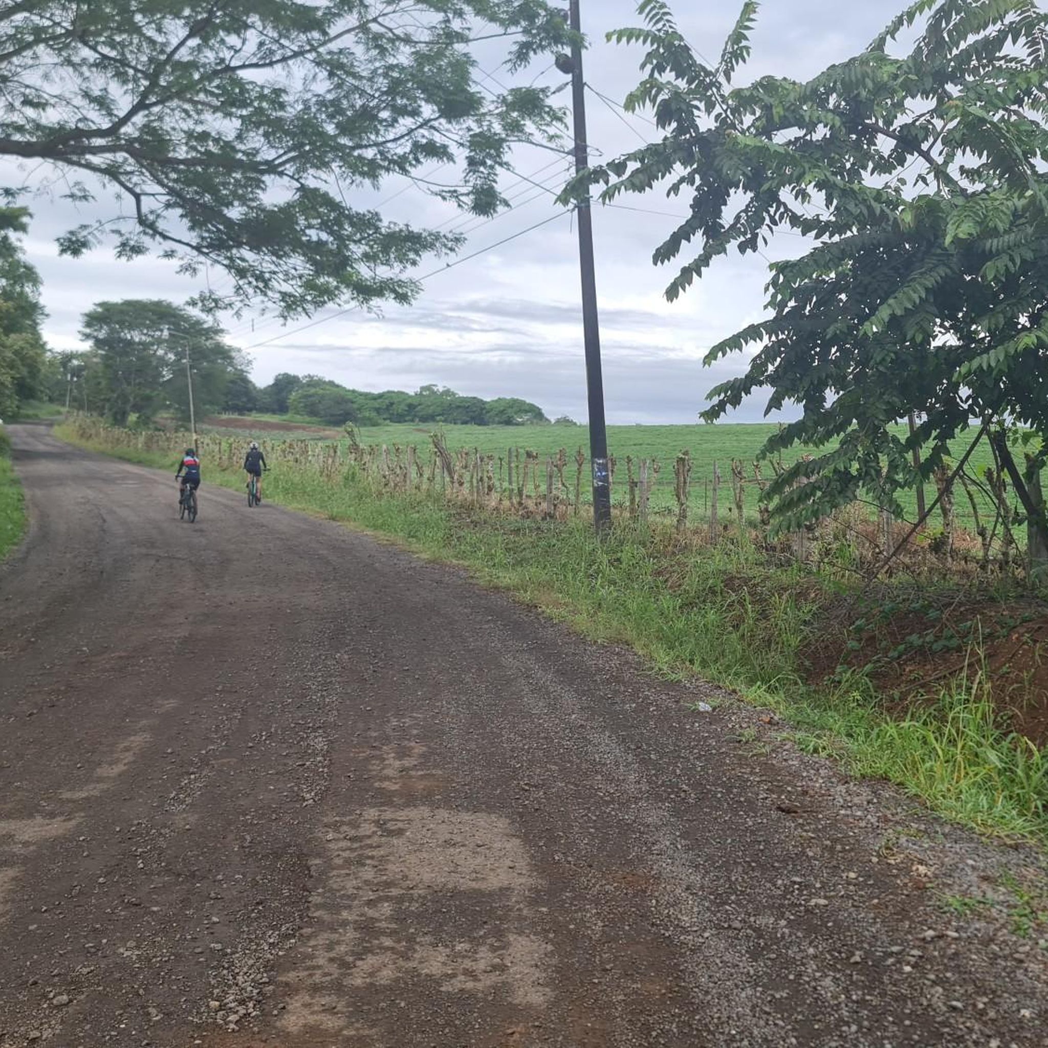

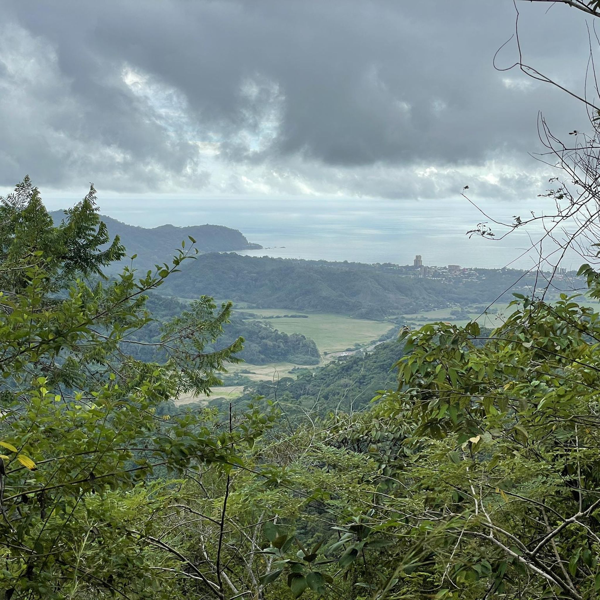
Tips from the Community

Be careful with your camera and your cell phone! If something falls down, it is irretrievably gone. We strongly advise against going down… the name says it all
0
0

There is a large number of free parking spaces to the north, so you can comfortably walk across the bridge and watch the crocodiles in their habitat. You should beware of the street vendors & decline them with thanks.
1
0

The best climate in the world Original 🇨🇷🇨🇷
0
0

Photo opportunity. An open quarry that offers an 'out of this world' scenery that it's a must for any cyclist Instagram account.
0
0

A bridge across a river with crocodiles. The bridge is high enough to feel safe but you get to get pretty close. Those beasts are massive - probably 5m long some of them. I visited twice - once late in the afternoon (around 5) and once in the morning (around 6:30) and morning seems better because more of them were on land so they were easier to observe. Also, in the morning I was the only person on the bridge, in the afternoon there were loads of people, which is a bit dangerous with very narrow side walk and traffic.
0
0
Nice beach. Popular with locals but not over crowded, restaurants nearby.
0
0
Frequently Asked Questions
What kind of terrain can I expect on road cycling routes in Orotina?
Orotina offers a diverse range of terrain for road cyclists. You'll find relatively flat sections around the town, ideal for easier rides, as well as more challenging climbs into the surrounding mountains, including the Monte del Aguacate. Many routes feature mostly paved surfaces, making them suitable for road cycling. The region's agricultural landscape also means you'll often ride through lush farmlands.
Are there road cycling routes suitable for beginners in Orotina?
Yes, Orotina offers routes suitable for various ability levels. While there are no routes explicitly categorized as 'easy' in the komoot guide, several 'moderate' routes provide a good starting point. For instance, the Laguna Bajamar – Salinas Soteras loop from Parada San Jeronimo is a moderate 32.7-mile (52.6 km) trail with less elevation gain compared to the more difficult options, making it a good choice for those looking for a less strenuous ride.
What are some of the more challenging road cycling routes in Orotina?
For experienced road cyclists seeking a challenge, Orotina has several difficult routes with significant elevation gain. The El Alto – Playa Pógeres loop from Estanquillos is a demanding 81.6-mile (131.2 km) path with over 2,300 meters of ascent. Another challenging option is the Playa Pógeres – Villa Calalta loop from Orotina, which covers 55.2 miles (88.8 km) and includes over 1,000 meters of climbing.
What natural features or landmarks can I see while road cycling in Orotina?
Road cycling in Orotina provides access to a variety of natural beauty and local landmarks. You can ride through the region's famous 'Fruit Town' agricultural landscapes, with views of mango, watermelon, and orange plantations. Routes often lead towards the Pacific coast, offering glimpses of beaches and coastal lagoons. While cycling, you might also be near the Tarcoles River, known for its crocodiles, or pass by local cultural sites like the San John Baptist Church in Orotina.
Are there any circular road cycling routes in Orotina?
Yes, many of the road cycling routes in Orotina are designed as loops, allowing you to start and finish in the same location. Examples include the Laguna Bajamar – Salinas Soteras loop from Parada San Jeronimo and the El Alto – Tajo Sulay loop from Parada San Jeronimo. These circular routes offer varied scenery without the need for a return trip along the same path.
What is the best time of year for road cycling in Orotina?
Orotina enjoys a balmy climate year-round. Generally, the dry season from December to April is considered ideal for road cycling, offering sunny days and lower humidity. The green season (May to November) brings more rain, typically in the afternoons, which can make for lush landscapes but also potentially wet roads. Always check local weather forecasts before heading out.
What do other road cyclists enjoy most about the routes in Orotina?
The road cycling routes in Orotina are highly rated by the komoot community, with an average score of 5.0 stars. Reviewers often praise the varied terrain, which combines agricultural scenery with mountain climbs and coastal views. The opportunity to explore both inland and Pacific coast landscapes within a single ride is a frequently highlighted aspect.
Can I find cafes or places to rest along the road cycling routes?
While specific cafes are not listed for every route, Orotina is known as the 'Fruit Town' and has local markets and small eateries. Many routes pass through or near small towns and villages where you can typically find places to refuel with snacks, drinks, or a meal. It's always a good idea to carry sufficient water and energy bars, especially on longer rides.
How many road cycling routes are available in Orotina on komoot?
There are 17 road cycling routes available in Orotina on komoot. These routes cater to various fitness levels, with 9 categorized as moderate and 8 as difficult, ensuring options for both intermediate and advanced cyclists.
Are there any road cycling routes that offer views of the Pacific coast?
Yes, several routes in Orotina extend towards the Pacific coast, offering scenic views and coastal stretches. The Laguna Bajamar – Salinas Soteras loop from Parada San Jeronimo, for example, leads through coastal lagoons and salt flats, providing a distinct coastal cycling experience. Other routes like the Salinas Soteras – Laguna Bajamar loop from Guacalillo also offer coastal proximity.
Is Orotina a good base for exploring other areas by road bike?
Orotina's strategic location in the Central Valley makes it an excellent base for road cyclists looking to explore beyond the immediate area. It serves as a gateway to both the Pacific coast and several national parks. While some routes might involve busy roads, the region's connectivity allows for diverse cycling adventures, combining local agricultural scenery with longer rides towards coastal towns or even the foothills of national parks.

Get inspired with the komoot mobile app


Didn’t find what you were looking for?
Check out more Road cycling routes throughout Orotina below and find the perfect route in your destination.
Explore more
Browse the best Road cycling routes in other regions.
