The best walks and hikes around Guxhagen
4.6
(544)
2,249
hikers
86
hikes
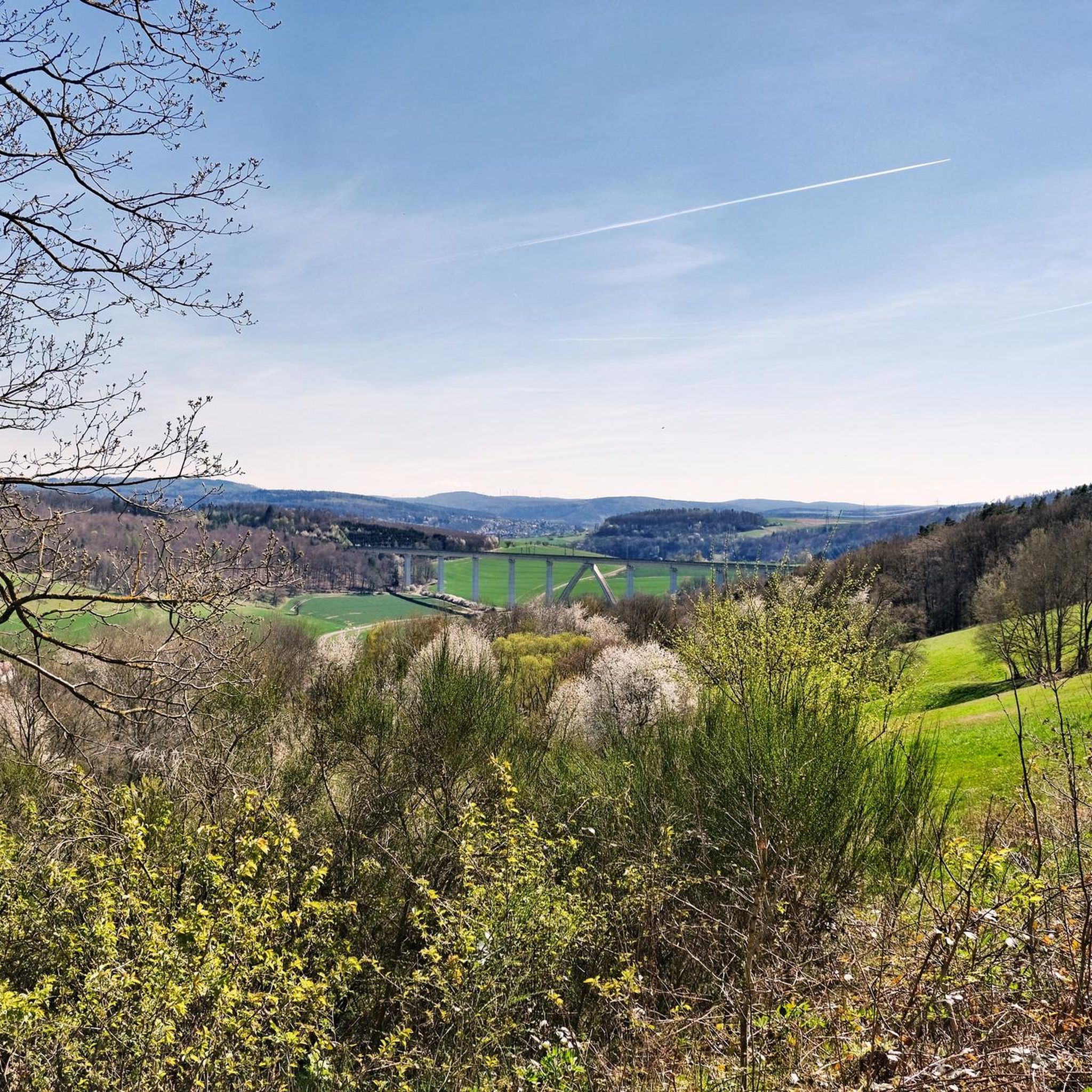
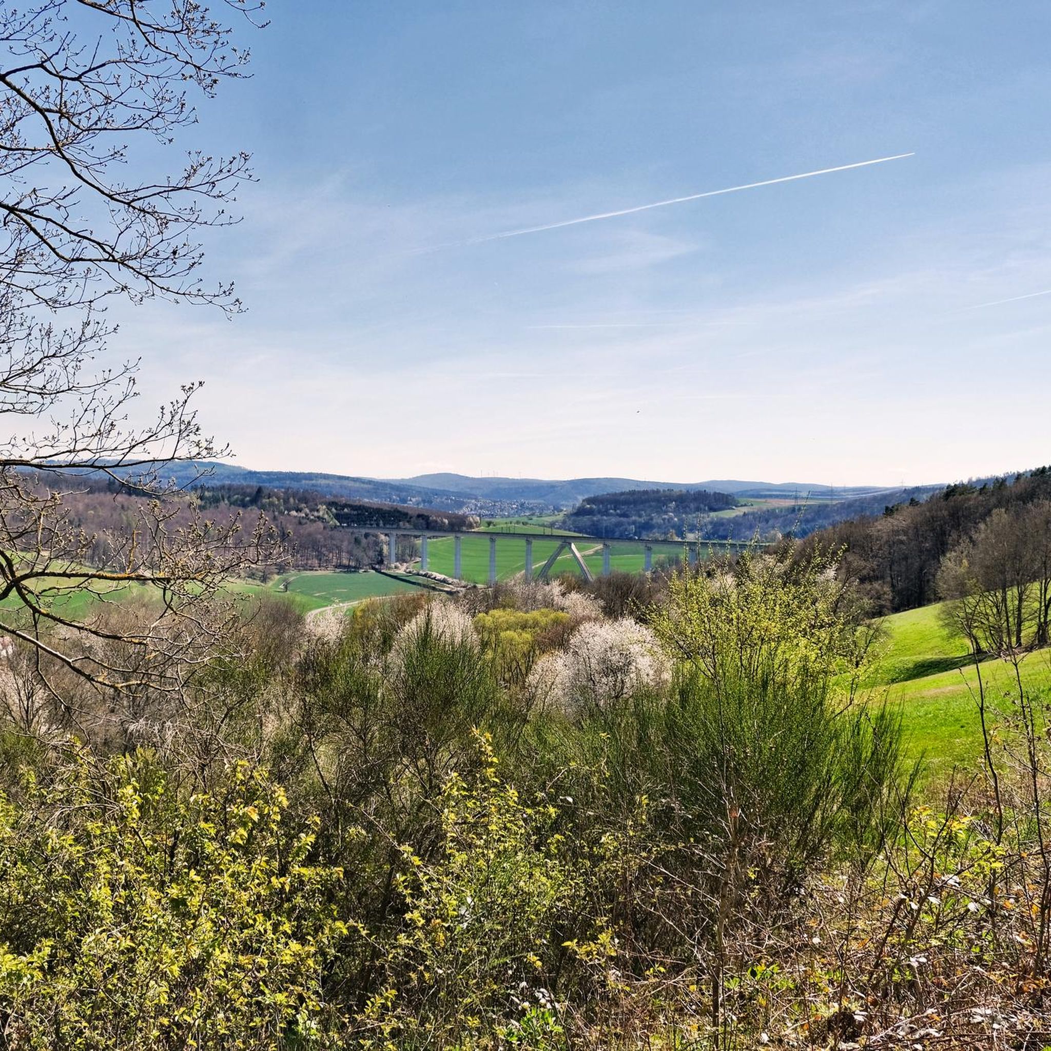
Hiking around Guxhagen offers diverse landscapes characterized by the Fulda River, which flows through the region, and surrounding hilly, forested terrain. The area provides a well-developed network of trails, including paths along the river and routes through dense forests and hills. Situated on the edge of the Habichtswald Nature Park, Guxhagen's terrain includes varied elevations and natural features suitable for different hiking experiences.
Best hiking trails around Guxhagen
- The most popular hiking route is Warpel Hut – Stellbergsee loop from…
Last updated: July 5, 2026
4.6
(48)
173
hikers
11.9km
03:20
230m
230m
Moderate hike. Good fitness required. Easily-accessible paths. Suitable for all skill levels.
4.7
(68)
226
hikers
11.2km
03:04
170m
170m
Moderate hike. Good fitness required. Easily-accessible paths. Suitable for all skill levels.

Sign up for free
4.5
(28)
83
hikers
Moderate hike. Good fitness required. Easily-accessible paths. Suitable for all skill levels.
4.7
(75)
247
hikers
Easy hike. Great for any fitness level. Easily-accessible paths. Suitable for all skill levels.
4.7
(75)
264
hikers
Moderate hike. Good fitness required. Easily-accessible paths. Suitable for all skill levels.
Get access to more routes and recommendations from other explorers.
Sign up for free
Already have an account?
Our route recommendations are based on thousands of hikes, rides, and runs completed by other people on komoot.
Start today with a free account
Your next adventure awaits.
Login or Signup
Tips from the Community

Interesting to see remnants of mining in reality - as a supplement to the information boards.
0
0

The monastery church and the park are open to the public.
0
0

Very beautiful view over the Fulda to the Breitenau Monastery
0
0

The memorial is located directly on the path that is easy to walk
3
0
Located directly on the hiking trail
4
0

Breitenau monastery complex. Monastery with a long history. Beautifully situated on the Fulda. 🏰⚓🛶
0
0

Information board about the history of the Wattenbach coal mine in the village
0
0
Nearby there is a beautiful valley view to Münden
5
0
Frequently Asked Questions
What kind of hiking trails can I expect around Guxhagen?
Guxhagen offers a diverse range of hiking trails, from leisurely paths along the Fulda River to more challenging routes through hilly, forested terrain. You'll find nearly 90 routes, with options suitable for various fitness levels, including 46 easy, 38 moderate, and 3 difficult trails. The region is characterized by its location on the edge of the Habichtswald Nature Park and the scenic Fulda River.
Are there any easy or family-friendly hikes in Guxhagen?
Yes, Guxhagen has 46 easy hiking trails, many of which are suitable for families. A great option is the View of Breitenau Monastery – The Fulda River at Guxhagen loop from Guxhagen, an easy 6.7 km path that takes about 1 hour 48 minutes. The Fulda Cycle Path also offers relaxed walks along the river, perfect for a gentle outing.
What are some notable natural features or viewpoints I can discover on a hike?
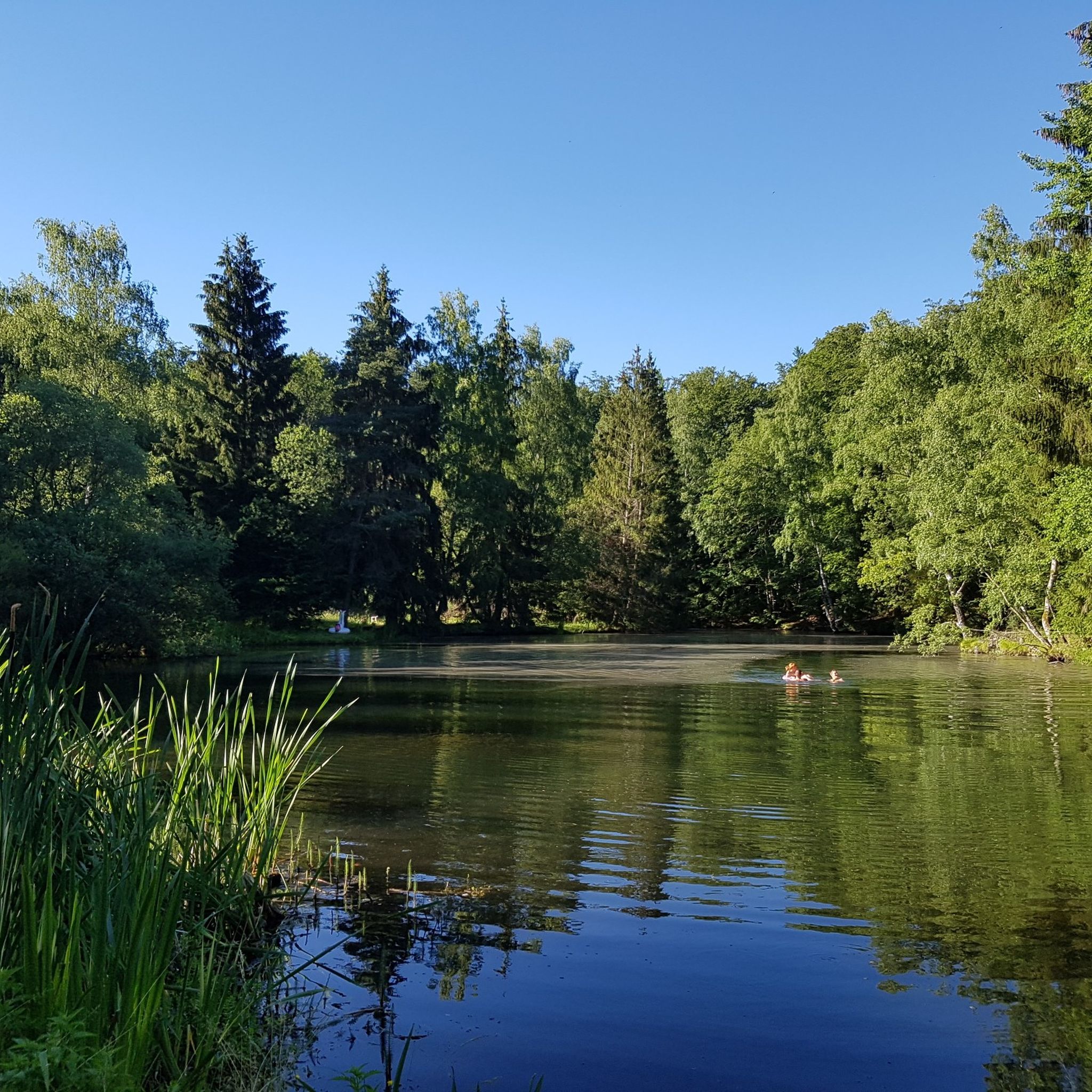
The region around Guxhagen is rich in natural beauty. You can explore the scenic Fulda River and its floodplains, offering idyllic scenery. The Warpel Hut – Stellbergsee loop from Guxhagen takes you past the natural focal point of Stellbergsee. For impressive rock formations, consider the Auf dem Brand Parking Area – Lenzigskeller Basalt Formation loop from Stellbergsee, which leads to the Lenzigskeller Basalt Formation. The Habichtswald Nature Park also provides varied terrain with wide views.
Are there any historical sites or landmarks to see while hiking in Guxhagen?
Absolutely. The historic Breitenau Monastery, founded in 1113, is a significant landmark. You can see it on the View of Breitenau Monastery – The Fulda River at Guxhagen loop from Riesenstein von Wolfershausen. The monastery church and park are open to the public. Additionally, local hiking loops like G1 and G2 lead through Guxhagen's districts, offering insights into their history with information boards along the way.
When is the best time of year to go hiking in Guxhagen?
The best seasons for hiking in Guxhagen are spring and autumn. During these times, the landscape is vibrant with colors, and the mild climate is ideal for extended walks. The diverse foliage along the Fulda River and in the forests of the Habichtswald Nature Park makes for particularly picturesque scenery.
Are there any circular hiking routes available?
Yes, many of the trails around Guxhagen are designed as circular routes, allowing you to start and end at the same point. Examples include the popular Warpel Hut – Stellbergsee loop from Guxhagen and the Stellbergsee – Auf dem Brand Parking Area loop from Stellbergsee. These loops are great for exploring the diverse landscapes without retracing your steps.
What do other hikers say about the trails in Guxhagen?
The hiking trails in Guxhagen are highly regarded by the komoot community, with an impressive average rating of 4.6 stars from over 500 reviews. Hikers often praise the varied terrain, the scenic views along the Fulda River, and the well-maintained network of paths that cater to different skill levels.
Are there any huts or shelters along the hiking trails in Guxhagen?
Yes, there are several huts and shelters in the vicinity that can offer a resting spot during your hike. Notable ones include the Carl Braun Hut and the Warpel Hut, which is featured on the Warpel Hut – Stellbergsee loop from Guxhagen. These provide convenient places for a break.
What is the typical terrain and elevation gain like on Guxhagen's trails?
The terrain around Guxhagen is quite varied, ranging from flat paths along the Fulda River to hilly and forested areas, especially towards the Habichtswald Nature Park. Elevation gains vary significantly; for instance, an easy route like the View of Breitenau Monastery – The Fulda River at Guxhagen loop from Guxhagen has about 84 meters of elevation gain, while a moderate trail like the Warpel Hut – Stellbergsee loop from Guxhagen involves around 233 meters of ascent.
Are there any long-distance hiking options accessible from Guxhagen?
Yes, Guxhagen's proximity to the Habichtswald Nature Park means you can access sections of the Habichtswaldsteig, a recommended long-distance hiking trail stretching 85 kilometers. This trail traverses dense forests and villages, offering a more extensive hiking experience for those looking for multi-day adventures or longer day hikes.
Can I find trails that offer a unique sensory experience?
Yes, the region features the 'Path of the Senses' (Pfad der Sinne), an approximately six-kilometer route specifically designed to sharpen visitors' senses through various stations. This trail offers an immersive experience of nature, encouraging you to engage with your surroundings in a unique way.
Most popular attractions around Guxhagen

Get inspired with the komoot mobile app


Explore more
Browse the best Hikes in other regions.
