The 5 Most Amazing Peaks around Zimmern ob Rottweil
Mountain peaks around Zimmern ob Rottweil are situated within the larger Rottweil district, an area characterized by diverse topography. Zimmern ob Rottweil itself lies on a high plateau at an elevation of 600 to 730 meters, positioned between the Black Forest and the Swabian Alps. This geographical setting provides a range of outdoor exploration opportunities, with diverse terrain including woods, streams, and open meadows. The region offers various elevations suitable for hiking and enjoying the natural landscape.
Best mountain peaks…
Last updated: July 1, 2026
Thyssenkrupp Test Tower, Rottweil
Highlight • Monument
Showing Translation
Tip by

Rottweil Station
Highlight • Monument
Translated by Google •
Tip by

Sign up now to discover places like this
Get recommendations on the best single tracks, peaks, & plenty of other exciting outdoor places.
Sign up for free
Türnleberg Summit and Richard Schmidt Memorial
Highlight • Summit
Translated by Google •
Tip by

Türnleberg (790 m)
Highlight • Summit
de.m.wikipedia.org/wiki/T%C3%BCrnleberg
Translated by Google •
Tip by

Point Silence – Highest Point on Ramsteiner Höhe
Highlight • Summit
Translated by Google •
Tip by

Start today with a free account
Your next adventure awaits.
Login or Signup

Tips from the Community

Rottweil station is a station on the Plochingen–Immendingen railway line, which today forms part of the Gäubahn in this area, and is also the starting point of the Rottweil–Villingen railway line. It is located on the northeastern edge of Rottweil at 557 m above sea level. Construction work began in 1865. During the construction, the remains of approximately 2,000 Russian soldiers were discovered. They had died of an epidemic about 50 years earlier. They found their final resting place in a mass grave on the station grounds. The station opened on July 23, 1868. The station was originally 685 meters long and up to 162 meters wide. The complex included an administration building and a goods shed, as well as two locomotive depots and a repair shop. From 1928 to 1971, Rottweil was also the terminus of the Balingen–Rottweil railway line. Source: https://de.wikipedia.org/wiki/Bahnhof_Rottweil
3
0

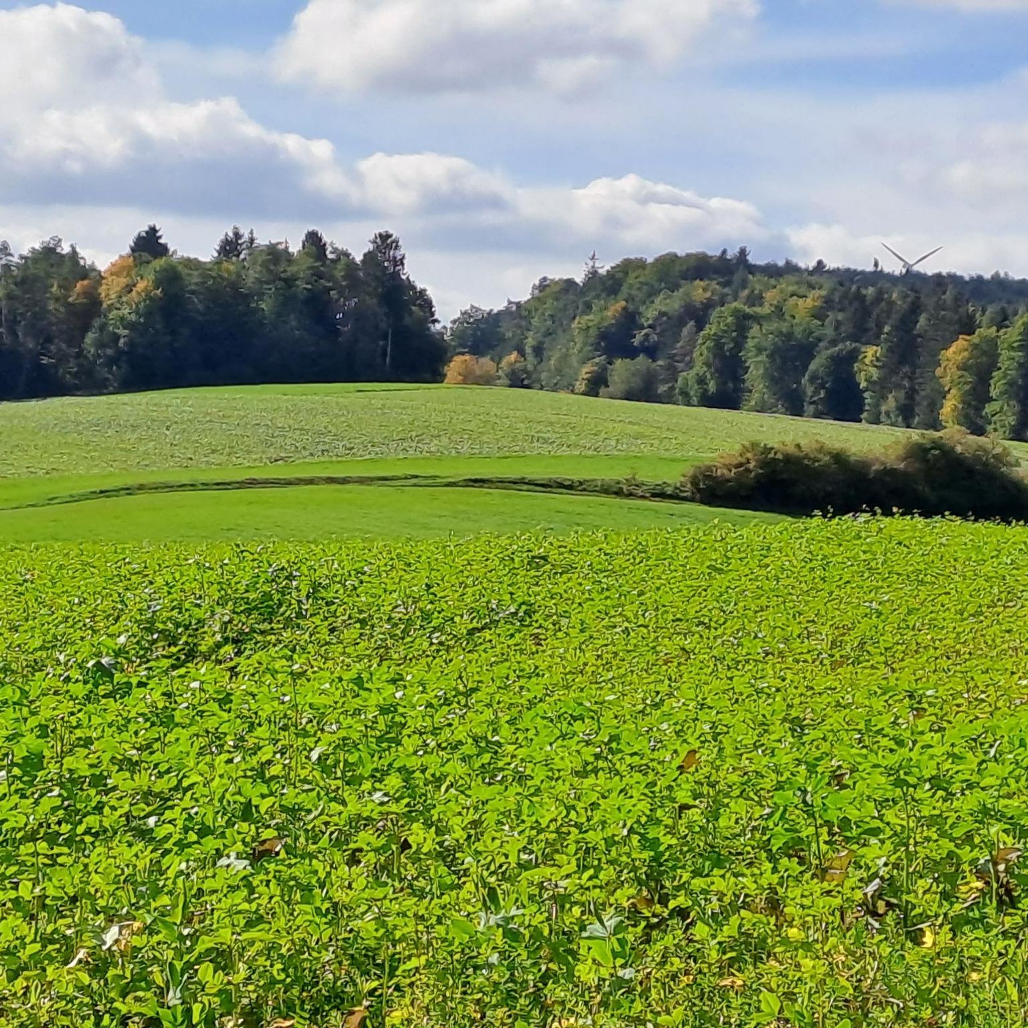
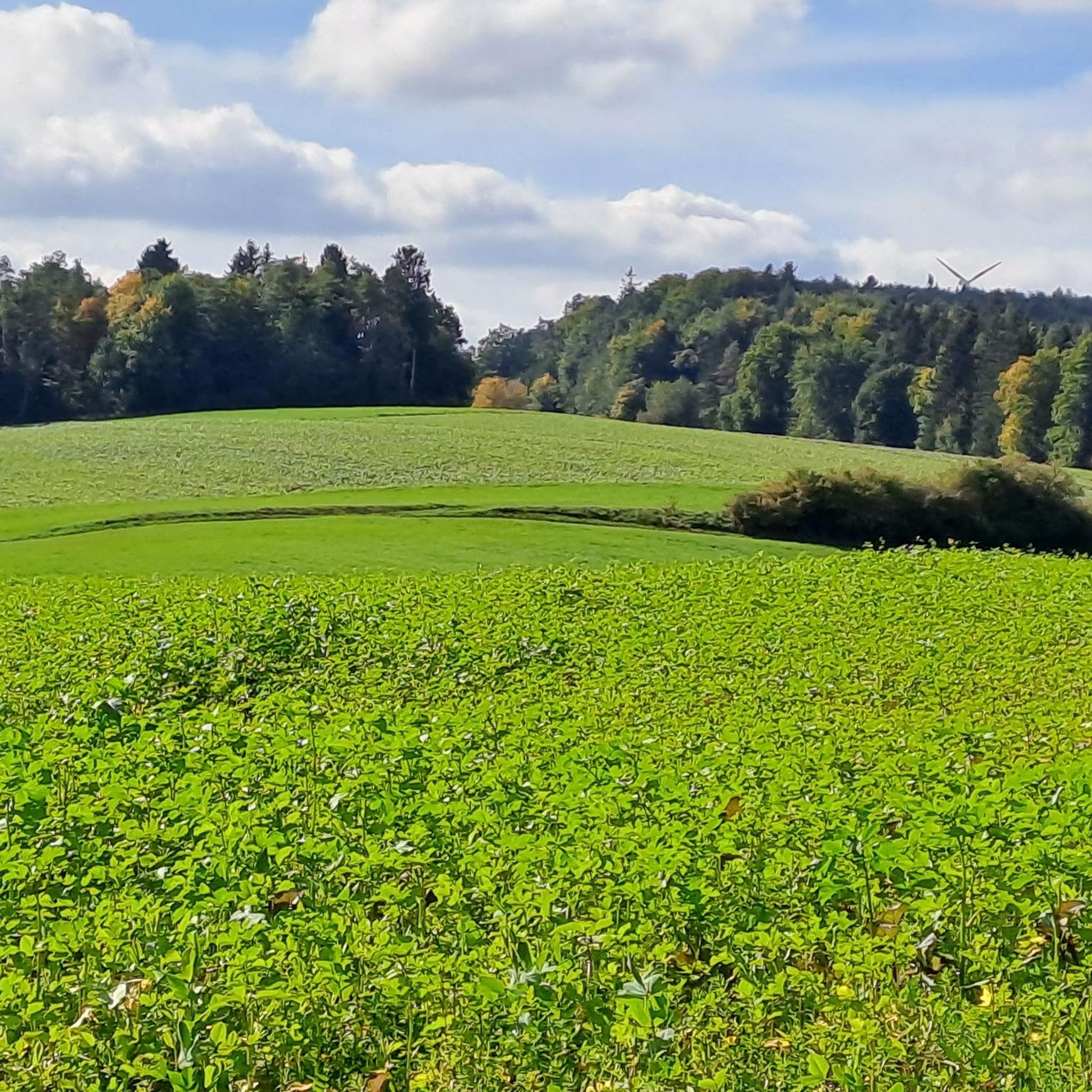
The Türnleberg is located at 793 m near VS and is on the former border between Baden and Württemberg
0
0

The TK Elevator Test Tower in Rottweil is a 246-meter-high elevator test tower for express and high-speed elevators. With 232 meters, it offers Germany's highest visitor platform and is the world's second-tallest test tower for elevator systems.
6
0
The tower rises far above Rottweil and can be seen from many places. A visit to the viewing platform is recommended.
11
0

Pleasant train station, very clean and the adjoining bar makes great pizza
1
1

Highest elevation near VS-Shwenningen
1
0

Great view from the 232m high tower
10
0

opened in 1868. Quite an imposing building in the Neckar valley. From here to Stuttgart or to Lake Constance.
3
0
Frequently Asked Questions
What are the most prominent mountain peaks in the Rottweil district near Zimmern ob Rottweil?
The most prominent mountain in the district of Rottweil is Lemberg, standing at 1,020 meters (3,346 feet). It offers expansive views and is a popular destination for hikers seeking a more challenging ascent. Other notable peaks include Tonau (685m), Hartskäpfle (840m), and Bauberg (694m).
Are there any unique viewpoints or man-made structures offering panoramic views?
Yes, the Thyssenkrupp Test Tower, Rottweil is a man-made monument that provides a unique perspective and expansive views of the surrounding area from 232 meters altitude. It's an imposing building that offers a great vantage point.
Which peaks offer historical significance near Zimmern ob Rottweil?
The Türnleberg (790 m) is a summit and historical site, known as the highest point in its immediate vicinity near VS-Schwenningen. It is also home to the Türnleberg Summit and Richard Schmidt Memorial, located on the former border between Baden and Württemberg.
Where can I find a quiet spot with a good view in the mountains?
For absolute peace and quiet combined with a great view, consider visiting Point Silence – Highest Point on Ramsteiner Höhe. This intermediate summit within a forest is appreciated for its tranquil atmosphere and offers a rewarding viewpoint.
What kind of hiking opportunities are available around Zimmern ob Rottweil?
The region offers diverse hiking opportunities, from challenging ascents like Lemberg to scenic trails traversing gentle hills. The area around Zimmern ob Rottweil is known for picturesque valleys and waterfalls, with trails such as the 'Rundweg Bärenthal' and the 'Premiumwanderweg Neckarsteig' exploring the Neckar valley and historical sites.
Are there mountain biking trails near Zimmern ob Rottweil?
Yes, there are numerous mountain biking trails available. You can explore routes like the 'View of Plettenberg – Hochwaldstube loop' or the 'Eschach Crossing in Horgen – Königsfeld Downhill Trail loop'. Find more options in the MTB Trails around Zimmern ob Rottweil guide.
Can I find road cycling routes in the area?
Absolutely. The region provides various road cycling routes, including the 'Brewery J. Hirth Flözlingen – Protestant Church Horgen loop' and the 'Danube Footbridge, Immendingen – Zimmern Covered Wooden Bridge loop'. Discover more in the Road Cycling Routes around Zimmern ob Rottweil guide.
What about gravel biking options near the peaks?
Gravel biking enthusiasts will find challenging routes such as the 'View of Horb's Old Town – Glatt River Cycle Path loop' or the 'Tennenbronn – View of the Black Forest loop'. For a comprehensive list, check out the Gravel biking around Zimmern ob Rottweil guide.
What do visitors appreciate most about the mountain peaks in this region?
Visitors frequently highlight the expansive views from various peaks and viewpoints, the quiet atmosphere of forest summits, and the unique perspective offered by structures like the Thyssenkrupp Test Tower. The diverse topography provides a range of outdoor exploration opportunities that are well-loved by the komoot community.
What is the general topography of Zimmern ob Rottweil and its surrounding area?
Zimmern ob Rottweil itself is situated on a high plateau at an elevation of 600-730 meters above sea level, positioned at the eastern edge of the Black Forest and above the Neckar valley. The larger Rottweil district extends into the Swabian Alb, featuring diverse elevations from gentle hills to more prominent peaks like Lemberg.
Are there any specific tips for visiting the Thyssenkrupp Test Tower?
Visitors recommend seeing this imposing building for its great views. Depending on the visit time, long queues can be expected. It's noted that the reservation system might not be perfectly smooth, and there's only one entrance.
What are the access options for Türnleberg?
Ascent to Türnleberg is possible from different directions. The simplest variant tends to be from Mühlhausen. Routes from the north (Schwenningen) and southwest (Bad Dürrheim) are generally steeper. At the summit, you'll find benches for resting.
Most popular routes around Zimmern ob Rottweil
Most popular attractions around Zimmern ob Rottweil

Get inspired with the komoot mobile app


Explore more
See even more amazing summits around Zimmern ob Rottweil with these guides:
