The best running trails in Cañar
194
runners
10
runs
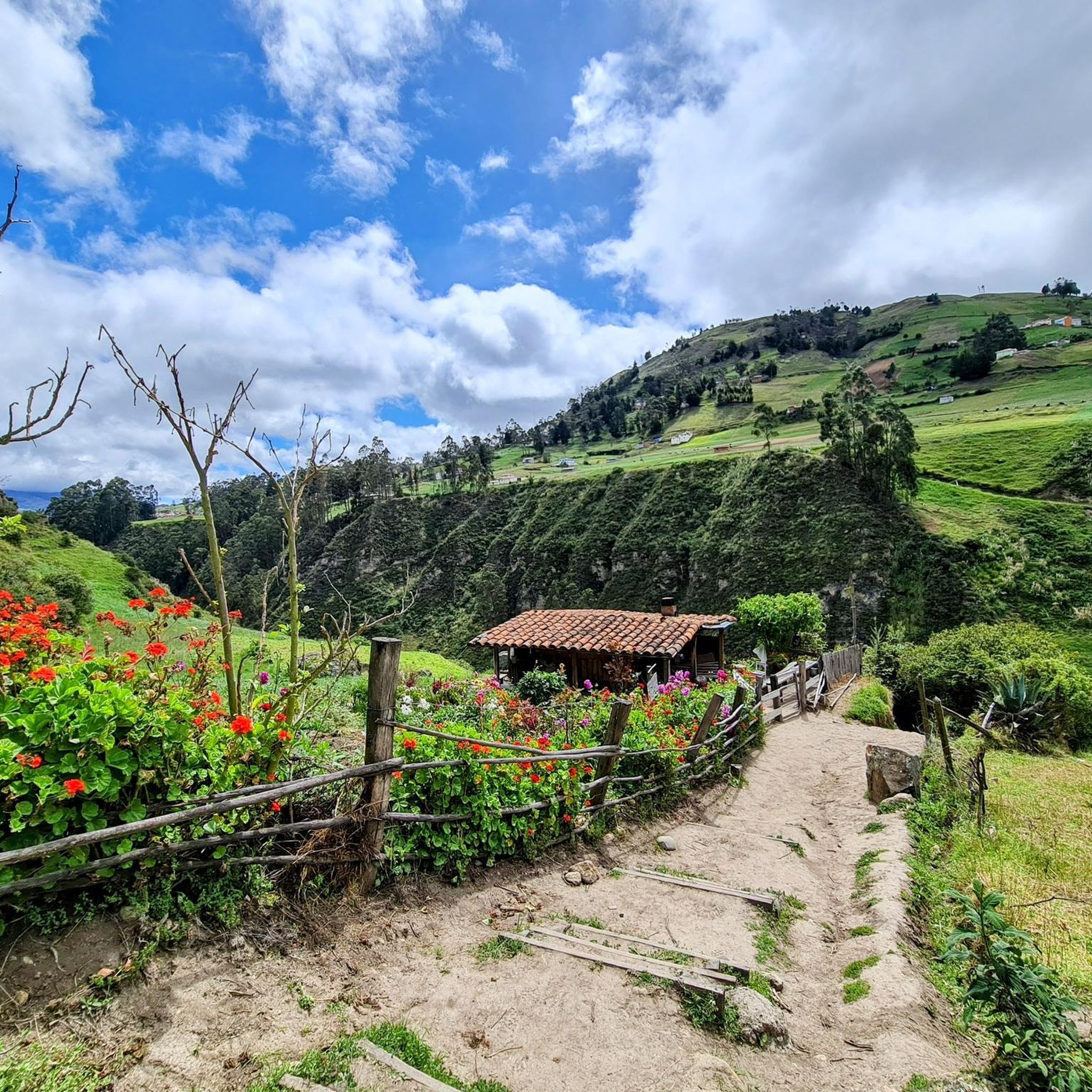
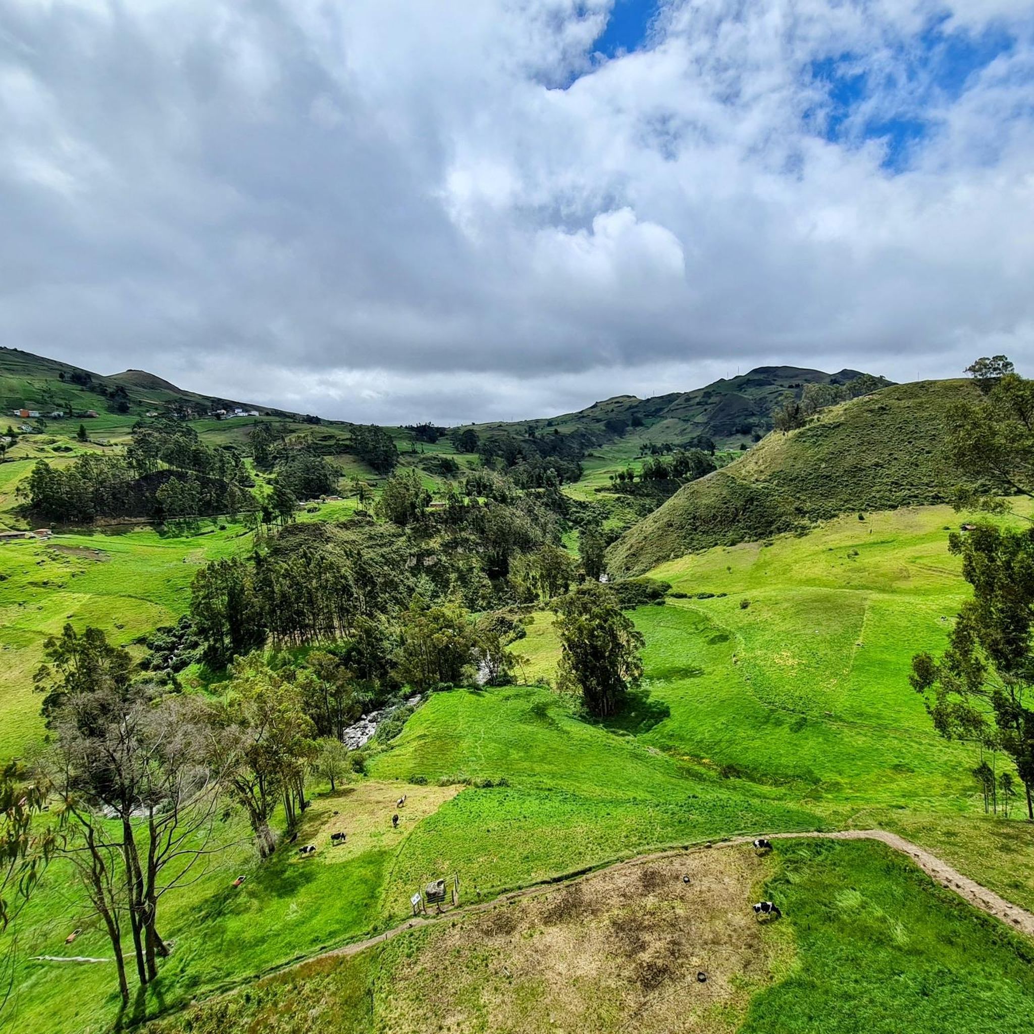
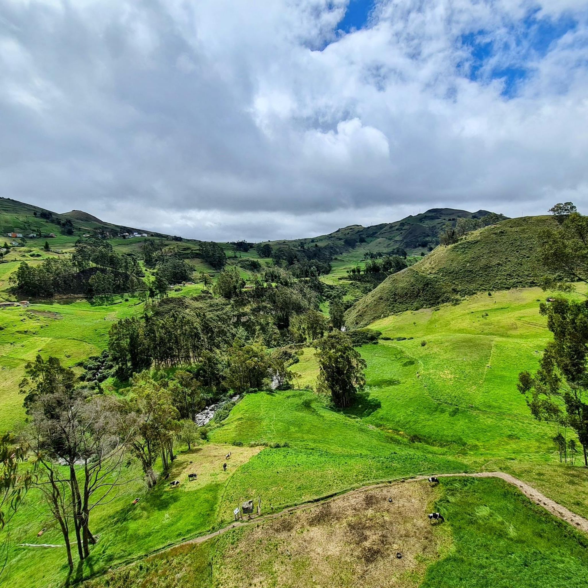
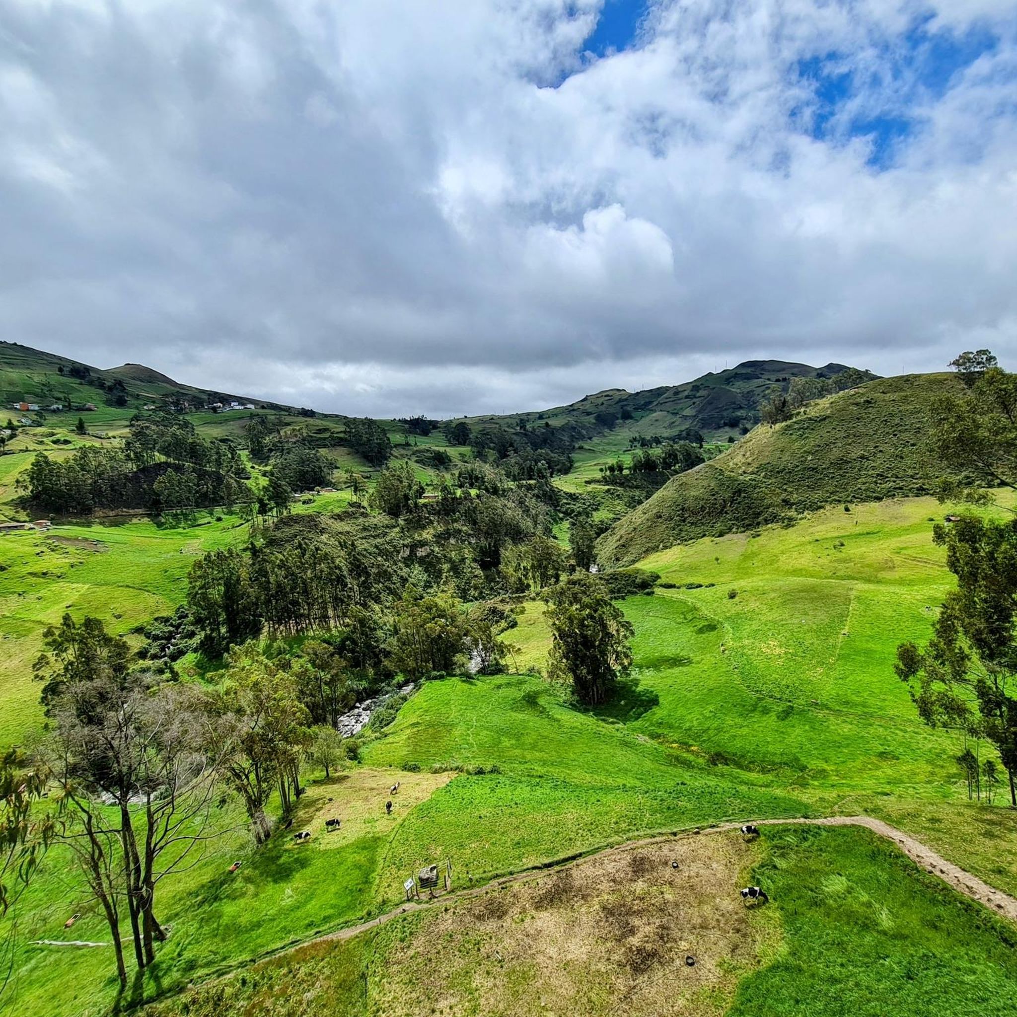
Jogging routes in Cañar are set within the diverse landscapes of the Ecuadorian Andes, characterized by undulating terrain, rolling mountains, and deep valleys. The region offers high-altitude scenery and a cool, moderate climate suitable for physical activity year-round. Trails range from shorter, accessible paths to more challenging routes with significant elevation gains, often featuring panoramic views.
Best jogging routes in Cañar
- The most popular jogging route is Consulate loop from Río Machángara, an 8.4 miles (13.6 km) moderate trail…
Last updated: July 12, 2026
72
runners
13.6km
01:30
90m
90m
Moderate run. Good fitness required. Mostly paved surfaces. Suitable for all skill levels.
36
runners
20.3km
02:16
150m
150m
Hard run. Very good fitness required. Mostly paved surfaces. Suitable for all skill levels.

Sign up for free
26
runners
17.4km
01:59
210m
210m
Hard run. Very good fitness required. Mostly paved surfaces. Suitable for all skill levels.
26
runners
23.0km
02:29
190m
190m
Hard run. Very good fitness required. Mostly paved surfaces. Suitable for all skill levels.
14
runners
5.68km
00:53
190m
190m
Hard run. Good fitness required. Sure-footedness, sturdy shoes and alpine experience required.
8
runners
5.80km
00:41
70m
70m
Moderate run. Good fitness required. Mostly paved surfaces. Suitable for all skill levels.
3
runners
4.02km
00:33
190m
190m
Moderate run. Good fitness required. Mostly paved surfaces. Suitable for all skill levels.
Get access to more routes and recommendations from other explorers.
Sign up for free
Already have an account?
Our route recommendations are based on thousands of hikes, rides, and runs completed by other people on komoot.
Start today with a free account
Your next adventure awaits.
Login or Signup

Tips from the Community


Cuenca, with its almost 700,000 inhabitants, is the third largest city in Ecuador. It is located at an altitude of 2,500 meters above sea level, within a basin surrounded by gentle hills (hills that reach altitudes even above 3,000 metres). The city is an extraordinary combination of Andean and European culture. It offers everything you need for a regenerating break from the pedals. Don't miss the Pumapungo anthropological museum: it helps you learn more about Ecuadorian traditions and culture.
1
0

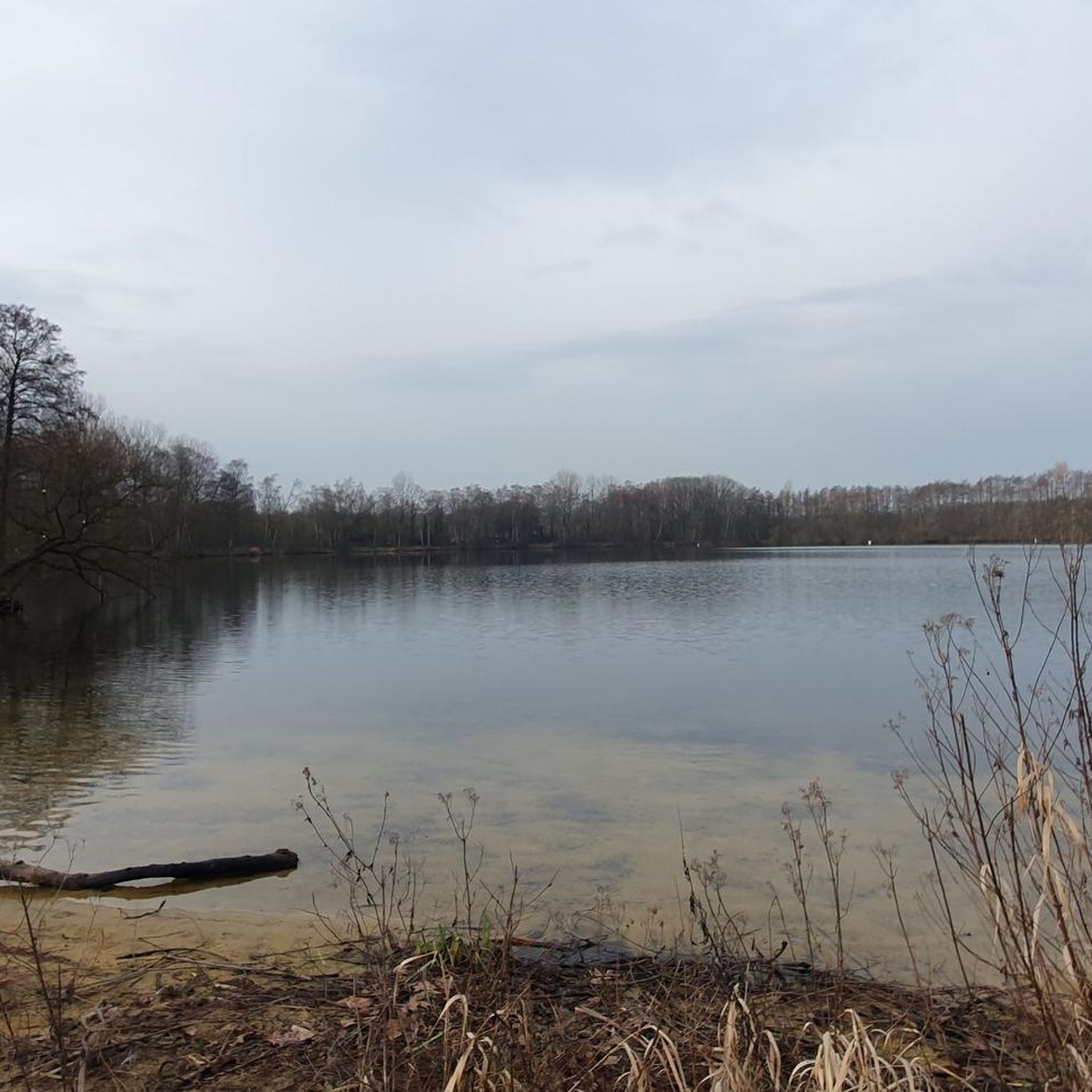
a beautiful route to run in the middle of nature
0
0
Frequently Asked Questions
What kind of terrain can I expect on running trails in Cañar?
Running routes in Cañar are characterized by undulating terrain, rolling mountains, and deep valleys within the Ecuadorian Andes. You'll encounter high-altitude scenery and varied topography, with paths ranging from accessible sections to more challenging routes requiring sure-footedness and sturdy shoes.
Are there running routes suitable for beginners in Cañar?
While many routes in Cañar feature significant elevation changes, there are sections of trails, such as parts of the Path Along the Cuenca River, that are more accessible. For a moderate option, consider the Path Along the Cuenca River loop from Río Cuenca, which is 5.8 km long with moderate elevation.
What are some challenging running routes for experienced runners in Cañar?
Experienced runners looking for a challenge can explore routes with significant elevation gains. The Quinta Lucrecia loop from Río Machángara is a difficult 18.7 km path, and the Consulate – Cuenca loop from Río Machángara offers an even longer, difficult run of 22.9 km.
How many running routes are available in Cañar?
There are over 10 dedicated running routes documented in Cañar, offering a variety of distances and difficulty levels. These include 4 moderate and 6 difficult trails, catering to different fitness levels.
What is the climate like for running in Cañar?
Cañar enjoys a cool, moderate climate year-round, making it suitable for physical activities like running throughout the seasons. The high-altitude environment contributes to comfortable temperatures for outdoor pursuits.
Are there any historical sites or landmarks I can see while jogging in Cañar?
Yes, Cañar is rich in historical sites. You can explore the Temple of the Sun at Ingapirca and the Inca Road at Ingapirca, Ecuador's most important Inca and Cañari archaeological site. The Cojitambo Archaeological Complex also offers trails among Cañari and Inca vestiges with panoramic views.
Can I find routes with scenic viewpoints in Cañar?
Absolutely. Cañar's Andean landscapes provide numerous opportunities for panoramic views. The Cojitambo Archaeological Complex offers 360-degree natural viewpoints, and the Sanctuary of the Virgen del Rocio, built on a cliffside, provides breathtaking vistas of the surrounding mountains, making it a rewarding destination for a longer run.
What natural features define the running landscape in Cañar?
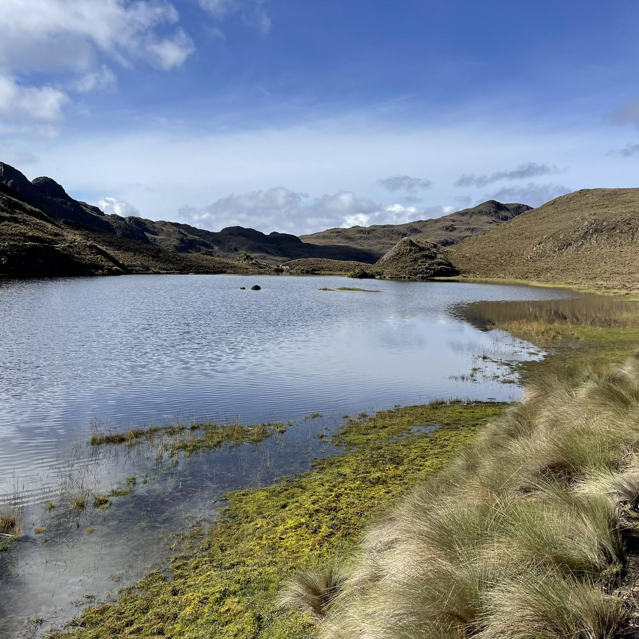
The running landscape in Cañar is defined by its Andean landscapes, featuring rolling mountains, deep valleys, and high-altitude scenery. You'll encounter vast páramo grasslands, glacial lakes, and mystical Polylepis forests, especially near areas like Cajas National Park and the Bosque San Luis loop.
Are there circular running routes in Cañar?
Yes, many of the popular running routes in Cañar are circular, offering a convenient way to start and end your run at the same point. Examples include the Consulate loop from Río Machángara and the Running loop from Cojitambo.
What do other runners enjoy most about jogging in Cañar?
Runners frequently praise Cañar for its diverse and stunning Andean scenery, which provides a breathtaking backdrop for any outdoor activity. The variety of trails, from moderate to difficult, and the opportunity to combine running with exploring significant historical sites like Ingapirca, are also highly valued.
Are there any running routes that pass through unique natural areas like forests or lagoons?
Yes, the Bosque San Luis loop from El Cajas - La Toreadora leads through high-altitude terrain near mystical Polylepis forests. Additionally, while not directly on a running route, the Culebrillas Lagoon area within Sangay National Park offers natural beauty with high Andean moors and well-preserved sections of the Qhapaq Ñan.
Can I find running routes that are suitable for families in Cañar?
While specific 'family-friendly' routes are not explicitly listed, sections of the Path Along the Cuenca River are generally more accessible and paved, making them suitable for families or those looking for a less strenuous run. Always check the route's difficulty and terrain before heading out with children.
Most popular attractions in Cañar

Get inspired with the komoot mobile app


Didn’t find what you were looking for?
Check out more Running Trails & Routes throughout Cañar below and find the perfect route in your destination.
Explore more
Browse the best Running Trails & Routes in other regions.
