The best walks and hikes in Valle Del Cauca
4.7
(142)
602
hikers
32
hikes
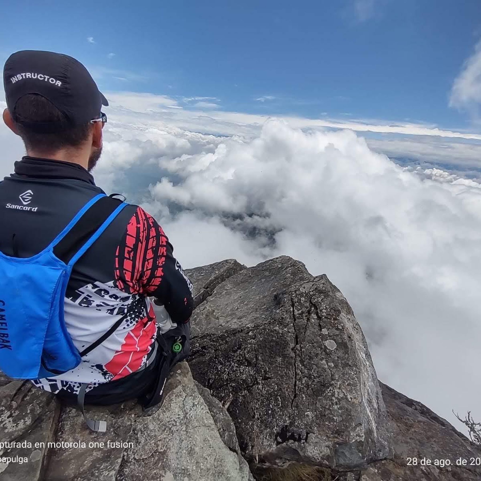
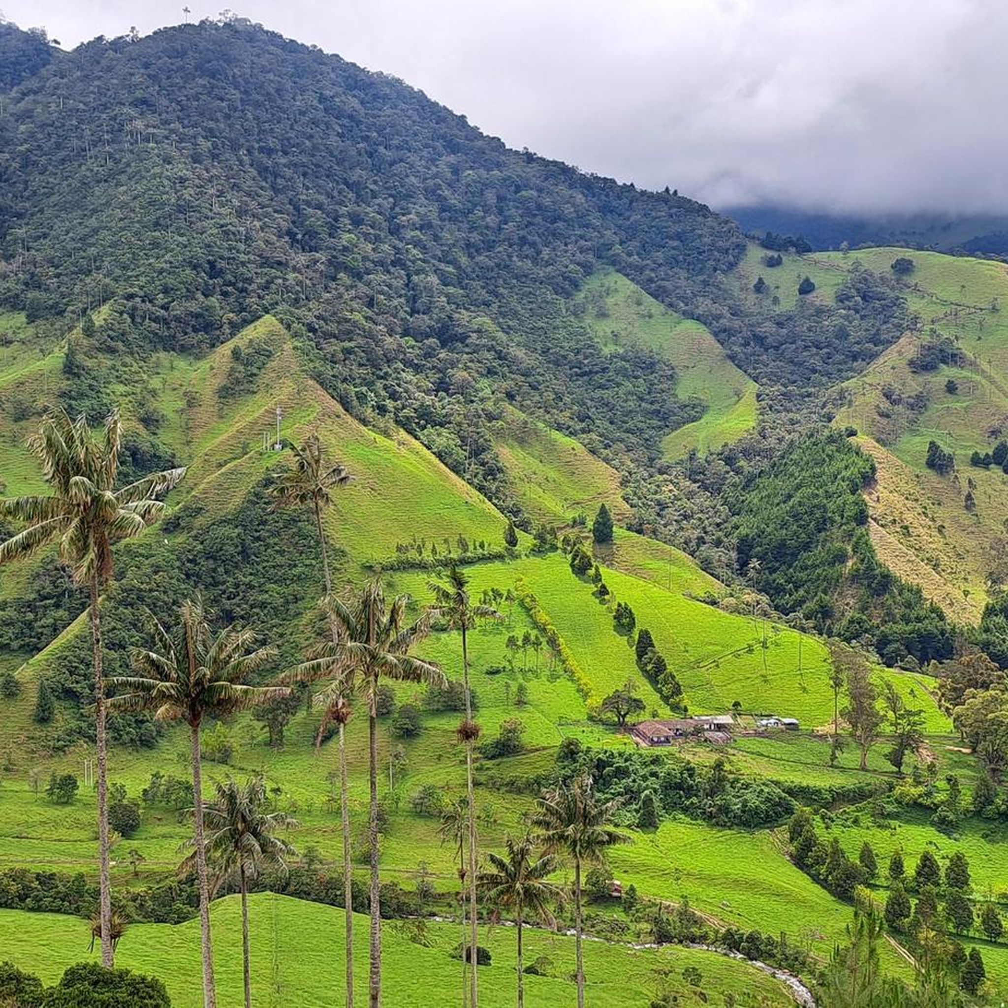
Hiking trails in Valle del Cauca traverse a diverse landscape, extending from the Pacific coast to the Andes Mountains. The region is characterized by lush forests, rolling hills, and numerous rivers, with elevations reaching over 4,000 meters above sea level in protected areas like Farallones de Cali National Natural Park. This varied topography includes Andean forests, extensive moorlands, and river valleys, providing a range of natural environments for outdoor activities.
Best hiking trails in Valle Del Cauca
- The most popular…
Last updated: June 26, 2026
5.0
(13)
68
hikers
5.11km
02:10
430m
430m
Moderate hike. Good fitness required. Easily-accessible paths. Suitable for all skill levels.
3
hikers
2.89km
00:44
10m
10m
Easy hike. Great for any fitness level. Easily-accessible paths. Suitable for all skill levels.

Sign up for free
4.6
(13)
78
hikers
6.29km
02:24
420m
420m
Moderate hike. Good fitness required. Easily-accessible paths. Suitable for all skill levels.
5.0
(22)
83
hikers
3.97km
01:06
70m
70m
Easy hike. Great for any fitness level. Easily-accessible paths. Suitable for all skill levels.
5.0
(21)
79
hikers
3.94km
01:05
70m
70m
Easy hike. Great for any fitness level. Easily-accessible paths. Suitable for all skill levels.
5.0
(6)
40
hikers
9.51km
05:40
1,050m
1,050m
Hard hike. Very good fitness required. Mostly accessible paths. Sure-footedness required.
5.0
(6)
21
hikers
11.8km
03:38
420m
420m
Moderate hike. Good fitness required. Easily-accessible paths. Suitable for all skill levels.
4.8
(13)
20
hikers
9.25km
03:06
460m
460m
Moderate hike. Good fitness required. Easily-accessible paths. Suitable for all skill levels.
21
hikers
6.31km
01:42
70m
70m
Easy hike. Great for any fitness level. Easily-accessible paths. Suitable for all skill levels.
5.0
(4)
13
hikers
6.32km
02:03
280m
280m
Moderate hike. Good fitness required. Easily-accessible paths. Suitable for all skill levels.
Get access to more routes and recommendations from other explorers.
Sign up for free
Already have an account?
Our route recommendations are based on thousands of hikes, rides, and runs completed by other people on komoot.
Start today with a free account
Your next adventure awaits.
Login or Signup
Popular around Valle Del Cauca




Tips from the Community

The Meléndez River Bio-Healthy Park is a one-kilometer linear park on the left bank of the river, in the El Ingenio neighborhood of Cali. It is part of the restoration of natural corridors between the Farallones Mountains and the Cauca River, featuring trails, a bike path, plazas, and sports equipment made from recycled plastic. It also includes the planting of native trees, pollinator plants, and exercise areas for all ages.
0
0


Perfect stairs for resistance work and technique of ascents and descents
0
0
Starting point for the Ascent to the hill of the three Crosses from the entrance of the Normandy neighborhood
0
0
Highest Point of the Ascent where we find the three Crosses
0
0
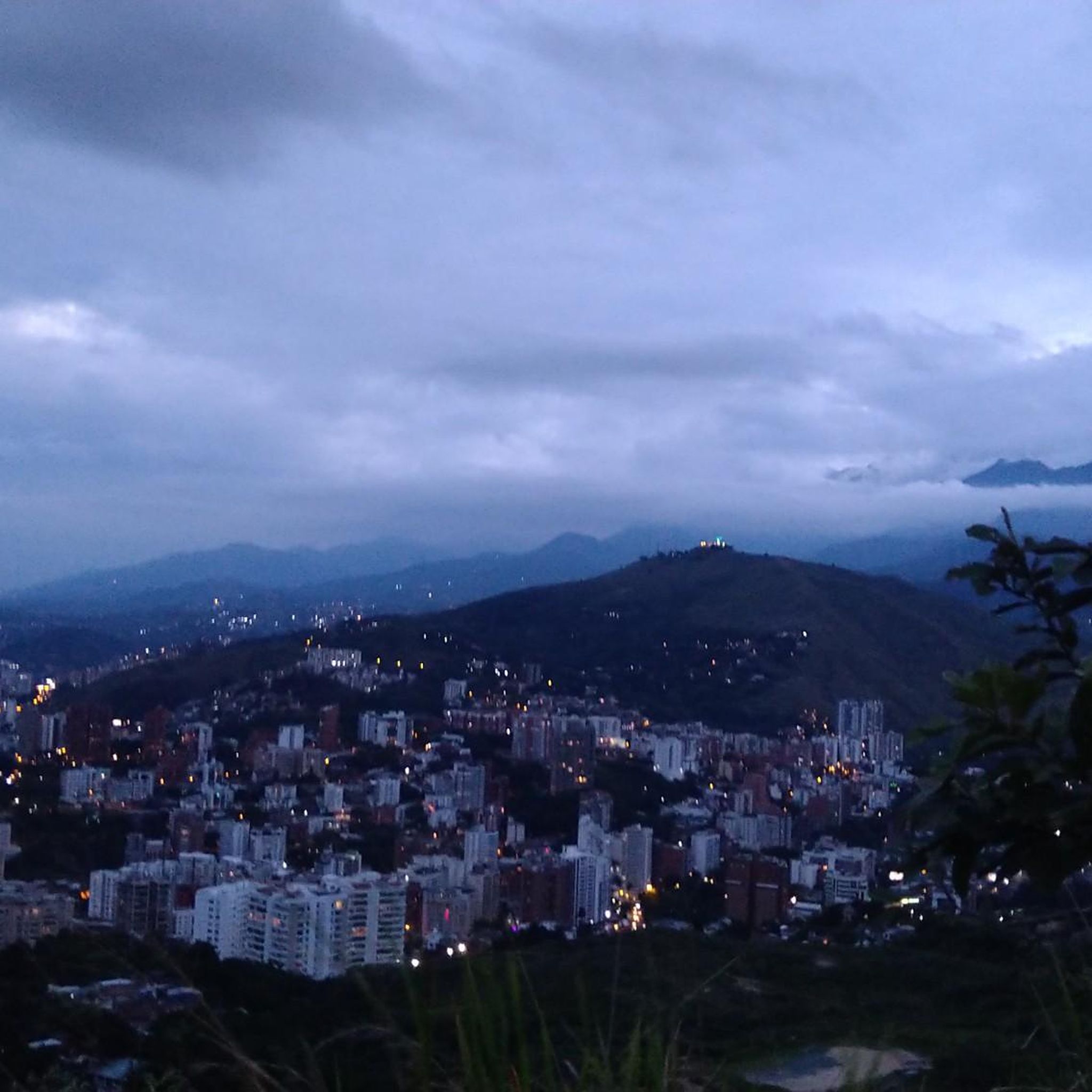
It's a perfect place to take a great photo: from the viewpoint, the city unfolds at your feet and offers a wide and bright view that's hard to beat.
0
0
Frequently Asked Questions
How many hiking trails are available in Valle del Cauca?
Valle del Cauca offers a wide variety of hiking experiences, with over 30 routes documented on komoot. These trails range from easy riverside paths to challenging mountain ascents, catering to different skill levels.
What do other hikers enjoy most about hiking in Valle del Cauca?
The hiking trails in Valle del Cauca are highly rated by the komoot community, with an average score of 4.7 stars from over 100 reviews. Hikers frequently praise the diverse landscapes, from lush forests to panoramic mountain views, and the opportunity to explore unique natural areas like the Farallones de Cali National Natural Park.
When is the best time to go hiking in Valle del Cauca?
Valle del Cauca's climate is diverse due to its varied topography, ranging from the Pacific coast to the Andes. Generally, the drier seasons are often preferred for hiking, but specific conditions can vary. It's always best to check local weather forecasts before heading out, especially for higher altitude trails where conditions can change rapidly.
Are there easy hiking trails suitable for beginners in Valle del Cauca?
Yes, Valle del Cauca has several easy hiking trails perfect for beginners or those looking for a relaxed walk. For example, the Circular del Parque Biosaludable del río Meléndez — Cali is an easy route. Another great option is the Hiking loop from Ecoparque Río Pance, which leads through pleasant riverine landscapes.
Where can I find challenging hikes in Valle del Cauca?
For experienced hikers seeking a challenge, Valle del Cauca offers several demanding routes. The Pico de Loro loop from Pance is a difficult 5.9-mile (9.5 km) path with significant elevation gain, leading to one of the highest points near Cali within the Farallones de Cali National Natural Park. This area is known for its rugged terrain and rich biodiversity.
Are there any circular hiking routes in Valle del Cauca?
Yes, there are several circular hiking routes available. Besides the Pico de Loro loop from Pance, you can also explore the Pico de Águila loop from La Voragine, which offers a moderate challenge. For an easier option, consider the Circular del Parque Biosaludable del río Meléndez — Cali.
Are there hiking trails with waterfalls in Valle del Cauca?
Valle del Cauca is home to several beautiful waterfalls. Within the Farallones de Cali National Natural Park, you can find the Los Olivos Waterfall (Peñas Blancas), which is a popular uphill hike. The San Cipriano Forest Reserve is also known for its numerous waterfalls and rivers, offering opportunities for both hiking and tubing. Additionally, ecological trails along the Pance River can lead to refreshing Pance waterfalls.
What natural attractions can I explore along the hiking trails?
Valle del Cauca's hiking trails lead to a variety of natural attractions. You can visit the Hill of the Three Crosses for panoramic views of Cali, or explore the Pico de Águila. The region also features unique natural monuments like Piedras de Moler and the San Cipriano Nature Reserve, known for its unspoiled tropical forests and rivers.
Are there family-friendly hiking options in Valle del Cauca?
Yes, many trails in Valle del Cauca are suitable for families. Easy routes like the Circular del Parque Biosaludable del río Meléndez — Cali or the Hiking loop from Ecoparque Río Pance offer gentle terrain and pleasant surroundings, perfect for outings with children. The Pance River area, in particular, provides ecological trails and opportunities for refreshing dips in clear waters.
Are dogs allowed on hiking trails in Valle del Cauca?
Regulations for dogs on hiking trails can vary, especially in protected areas like national parks. While some trails might be dog-friendly, it's crucial to check specific park rules or local guidelines before bringing your pet. Always ensure your dog is on a leash and that you clean up after them to preserve the natural environment.
Are there any trails with viewpoints offering scenic vistas?
Absolutely. Many trails in Valle del Cauca offer stunning panoramic views. The Subida a Las Tres Cruces — Cali is renowned for its breathtaking views of Cali and the surrounding Andes mountains. Higher altitude trails within the Farallones de Cali National Natural Park, such as the ascent to Pico de Loro, also provide expansive vistas of the diverse landscape.
What are the permit requirements for hiking in Farallones de Cali National Natural Park?
Farallones de Cali National Natural Park is a protected area, and access to certain sectors or trails may require permits or registration. It is highly recommended to check the official park website or contact local park authorities in advance for the most up-to-date information on entry requirements, fees, and any necessary guided tours. For more general information about national parks in the region, you can visit visitvalle.travel.
Is public transport available to reach hiking trailheads from Cali?
Public transportation options to trailheads can vary. For popular spots near Cali, such as the Pance River area or the base of the Hill of the Three Crosses, local buses or collective taxis might be available. For more remote locations, private transport or organized tours may be necessary. It's advisable to research specific routes and their accessibility from Cali before planning your trip.
Most popular routes in Valle Del Cauca
Most popular attractions in Valle Del Cauca

Get inspired with the komoot mobile app


Didn’t find what you were looking for?
Check out more Hikes throughout Valle Del Cauca below and find the perfect route in your destination.
Explore more
Browse the best Hikes in other regions.
