The best road cycling routes in Tolima
4.6
(146)
2,892
riders
48
rides
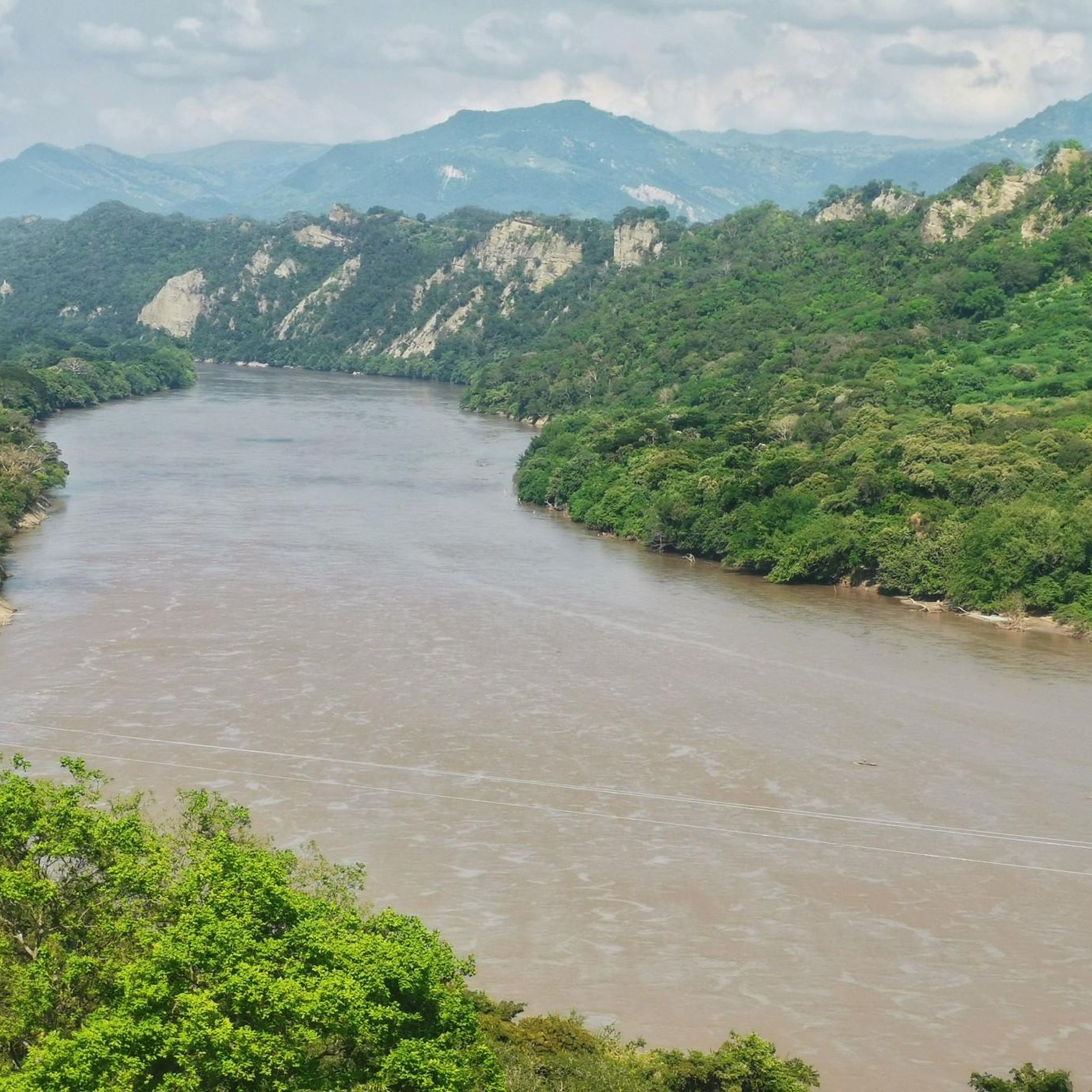
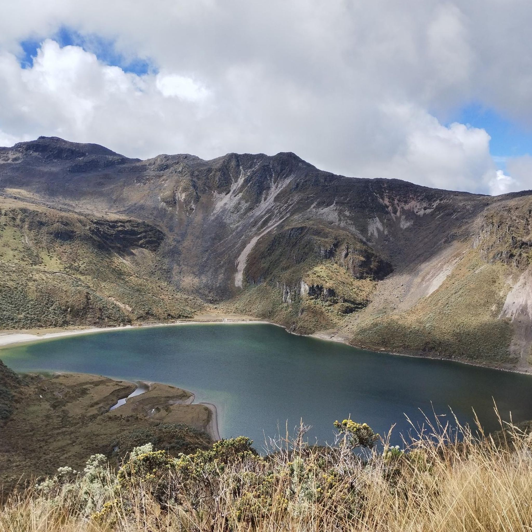
Road cycling in Tolima offers diverse terrain across the heart of Colombia, characterized by the majestic Andean mountain ranges. The region features significant elevation changes, from high-altitude climbs around towering volcanoes like Nevado del Tolima to routes through lush valleys and deep canyons such as Combeima Canyon. Cyclists can navigate challenging ascents and exhilarating descents, with some routes reaching over 4,100 meters above sea level. The landscape also includes picturesque lowlands with sugar cane fields and coffee plantations, providing varied experiences for all levels.
Best road cycling routes in Tolima
- The most popular road cycling route is Alto de Letras – La Cabaña Hot Springs loop from Páramo de Letras, a 73.6 miles (118.4 km) trail that takes about 8 hours 32 minutes to complete. This difficult route features significant climbs through the high Andes.
- Another top favourite among local road cyclists is Alto de Letras – Alto de Letras loop from Mariquita, a difficult 100.1 miles (161.2 km) path. This route is renowned for its extensive and challenging ascent, making it a bucket-list ride for experienced cyclists.
- Local road cyclists also love the Alto de Gualanday – Alto de Gualanday loop from Comuna 9 - Picaleña-Mirolindo, a 37.4 miles (60.2 km) trail leading through varied terrain with moderate climbs, often completed in about 2 hours 50 minutes.
- Road cycling in Tolima is defined by Andean mountain ranges, deep canyons, and lush valleys. The extensive network offers options for different ability levels, from moderate rides to very difficult, long-distance challenges.
- The routes in Tolima are highly rated by the komoot community with an average score of 4.5 stars from over 100 reviews. More than 2000 road cyclists have used komoot to explore Tolima's varied terrain.
Last updated: July 1, 2026
5.0
(3)
74
riders
92.3km
06:45
2,610m
2,610m
Hard road ride. Very good fitness required. Some segments of this route may be unpaved and difficult to ride.
208
riders
161km
10:30
4,940m
4,940m
Hard road ride. Very good fitness required. Some segments of this route may be unpaved and difficult to ride.

Sign up for free
4.9
(22)
199
riders
Moderate road ride. Good fitness required. Mostly well-paved surfaces and easy to ride.
4.8
(26)
175
riders
Moderate road ride. Good fitness required. Mostly well-paved surfaces and easy to ride.
3.0
(1)
86
riders
112km
07:41
3,600m
3,600m
Hard road ride. Very good fitness required. Mostly well-paved surfaces and easy to ride.
4.0
(2)
68
riders
58.1km
02:51
790m
780m
Moderate road ride. Good fitness required. Mostly well-paved surfaces and easy to ride.
62
riders
81.2km
04:08
1,340m
1,340m
Hard road ride. Very good fitness required. Mostly well-paved surfaces and easy to ride.
5.0
(2)
59
riders
67.6km
04:17
1,980m
1,980m
Hard road ride. Very good fitness required. Mostly well-paved surfaces and easy to ride.
61
riders
77.4km
05:14
2,230m
2,230m
Hard road ride. Very good fitness required. Mostly well-paved surfaces and easy to ride.
3.0
(1)
49
riders
117km
07:13
3,210m
3,210m
Hard road ride. Very good fitness required. Some segments of this route may be unpaved and difficult to ride.
Get access to more routes and recommendations from other explorers.
Sign up for free
Already have an account?
Our route recommendations are based on thousands of hikes, rides, and runs completed by other people on komoot.
Start today with a free account
Your next adventure awaits.
Login or Signup
Popular around Tolima
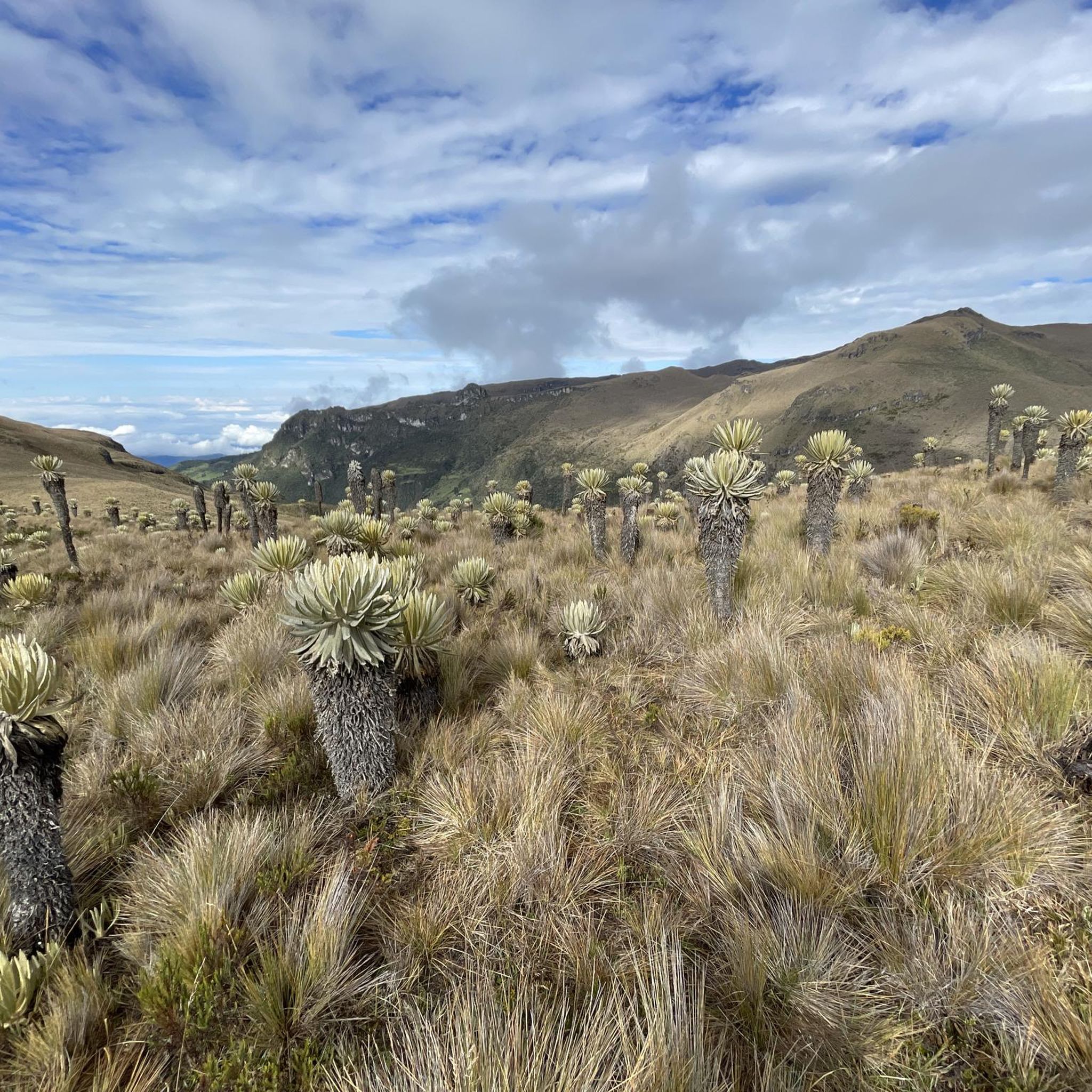
Road Cycling Routes in Ibagué
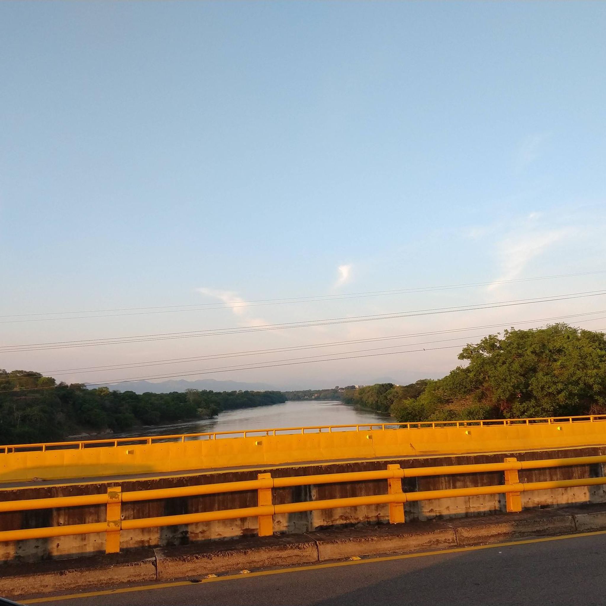
Road Cycling Routes in Suárez

Road Cycling Routes in Reservas Forestales Protectoras Regionales Bellavista

Road Cycling Routes in Coello
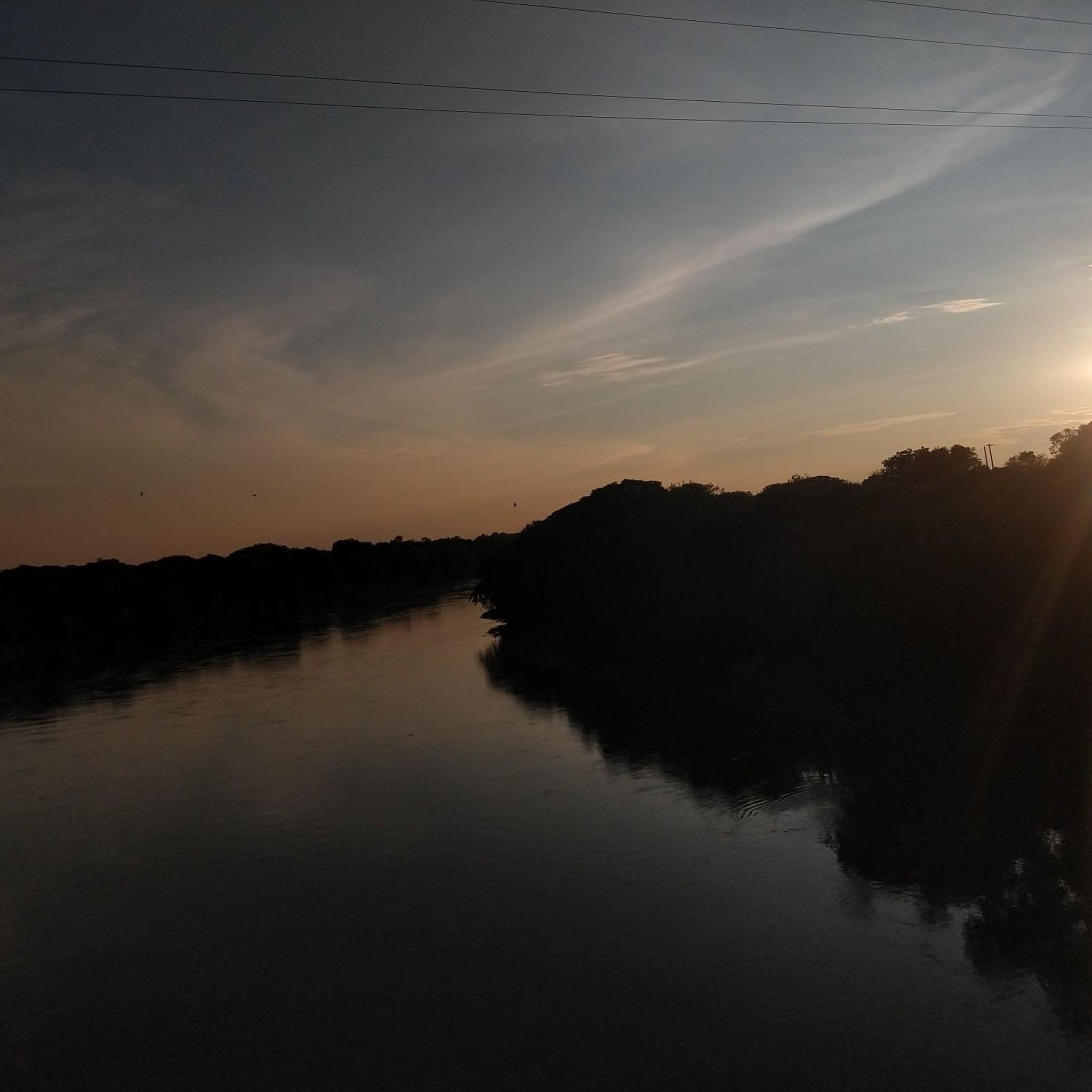
Road Cycling Routes in Flandes
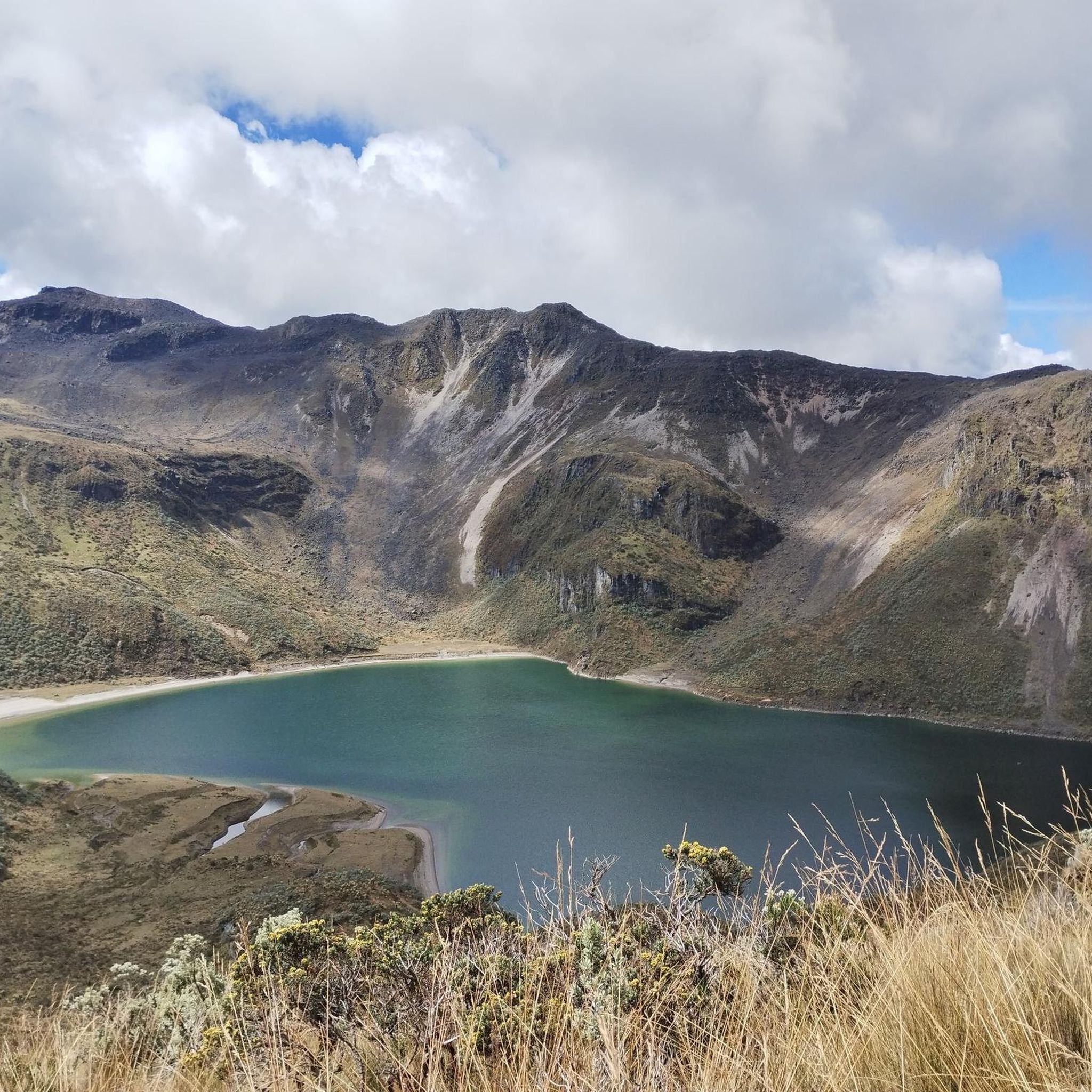
Road Cycling Routes in Herveo
Road Cycling Routes in Armero
Road Cycling Routes in Líbano

Road Cycling Routes in Falán

Road Cycling Routes in Casabianca

Tips from the Community

Excellent route, a bit challenging.
0
0

Excellent route to climb Murillo to the snow-capped mountains. Take into account excellent preparation and logistics. You will find the best landscapes in Colombia, climbing this great mountain range bordering the great Nevado del Ruiz volcano, where you will reach a height of 4,140 meters above sea level, reaching a maximum of 4,160 meters at the top of the tubes.
0
0
To reach this point, you must have trained sufficiently, or the altitude can take its toll. Always have excellent equipment, because no matter where we come from, little by little, we'll need clothing to maintain our body heat. Not to mention excellent hydration and nutrition before, during, and after to help us recover.
0
0

This is the site of the Armero Tragedy. A village destroyed by the 1985 eruption of volcán Nevado del Ruiz. Lots of ruins and buildings still visible and partially buried.
0
0

Good shelter, waterproof, hydration and adequate nutrition
0
0
Excellent route, demanding route, worth doing. Good preparation. Of the two routes, Mariquita-Letras and Lebanon-nevado-Letras, without hesitation I prefer the route through the snowy mountain, more demanding, but more rewarding, spectacular, the most beautiful route in Colombia.
0
0

Excellent destination for getting out of the city, and the Combeima Canyon makes for a mostly gradual walk along the river!
1
0
Frequently Asked Questions
How many road cycling routes are available in Tolima?
Tolima offers a wide array of road cycling routes, with over 50 routes available on komoot. This extensive network caters to various fitness levels and preferences, from moderate rides to very difficult, long-distance challenges.
What are the general difficulty levels of road cycling routes in Tolima?
The routes in Tolima cater to all levels of road cyclists. You can find approximately 7 easy routes, 25 moderate routes, and 19 difficult routes, ensuring there's a suitable challenge for everyone.
What makes Tolima a unique destination for road cycling?
Tolima stands out due to its diverse topography, featuring the majestic Andean mountain ranges, towering volcanoes like Nevado del Tolima, and deep canyons such as Combeima Canyon. The region offers significant elevation changes, from high-altitude climbs to picturesque lowlands with sugar cane fields and coffee plantations, providing varied experiences and stunning scenery.
Are there any iconic climbs or challenging routes for experienced road cyclists in Tolima?
Absolutely. Tolima is home to the legendary Alto de Letras, renowned globally as one of the longest and most arduous road climbs. Routes like Alto de Letras – Alto de Letras loop from Mariquita offer extensive and challenging ascents, making them a bucket-list ride for experienced cyclists. Another demanding option is the Alto de La Línea – La Línea Tunnel loop from Fundación Orquídeas del Tolima, featuring significant elevation gain.
Can I find routes that offer scenic natural features like wax palm forests or canyons?
Yes, Tolima boasts routes through unique natural features. The Toche Canyon, for instance, is home to stunning wax palm forests, offering a picturesque backdrop for cycling. The Combeima Canyon also provides scenic views and routes with a mix of gradual climbs and beautiful landscapes.
What kind of landscapes can I expect to see while road cycling in Tolima?
Road cycling in Tolima offers incredibly diverse landscapes. You'll traverse Andean mountain ranges, ride near snow-capped volcanoes, descend into lush valleys, and explore deep canyons. The region also features picturesque lowlands with expansive green sugar cane fields and vibrant coffee plantations, providing a rich tapestry of scenery.
Are there any circular road cycling routes in Tolima?
Yes, many road cycling routes in Tolima are designed as loops, allowing you to start and finish in the same location. Examples include the popular Alto de Letras – La Cabaña Hot Springs loop from Páramo de Letras and the Alto de Gualanday – Alto de Gualanday loop from Comuna 9 - Picaleña-Mirolindo.
What attractions or points of interest can I find along road cycling routes in Tolima?
Along Tolima's road cycling routes, you can discover various attractions. Notable points include the iconic Alto de Letras, the charming settlement of Murillo, and the Entrance to Los Nevados National Natural Park. You might also encounter coffee farms and natural hot springs, perfect for a post-ride relaxation.
What do other road cyclists enjoy the most about road cycling in Tolima?
The road cycling routes in Tolima are highly rated by the komoot community, with an average score of 4.5 stars from over 100 reviews. Cyclists often praise the region's diverse terrain, challenging climbs, and the stunning natural beauty, including the dramatic Andean landscapes and unique features like wax palm forests.
Are there any routes that pass through coffee-growing regions?
Yes, Tolima is part of Colombia's coffee-growing region, and many routes traverse these scenic areas. Cycling through coffee plantations offers not only beautiful views but also cultural experiences, providing a glimpse into local life and agriculture.
Can I find routes that lead to natural hot springs for relaxation?
Indeed. After an arduous ride, you can find routes that lead to natural hot springs, such as those near Murillo or Termales de Cañón. The Alto de Letras – La Cabaña Hot Springs loop from Páramo de Letras is an example of a route that incorporates a visit to hot springs, offering a perfect way to relax and rejuvenate.
Are there any routes suitable for moderate fitness levels?
Yes, Tolima offers numerous routes suitable for moderate fitness levels. For instance, the Alto de Gualanday – Alto de Gualanday loop from Comuna 9 - Picaleña-Mirolindo is a moderate trail leading through varied terrain with manageable climbs, often completed in about 2 hours 50 minutes.
Most popular routes in Tolima
Most popular attractions in Tolima

Get inspired with the komoot mobile app


Didn’t find what you were looking for?
Check out more Road cycling routes throughout Tolima below and find the perfect route in your destination.
Explore more
Browse the best Road cycling routes in other regions.
