The best running trails in Santander
5.0
(5)
128
runners
16
runs
Jogging in Santander, Colombia, offers diverse environments for runners. The region features a mix of urban parks, suburban areas, and routes that can include varied elevation changes. Trails often traverse developed areas, providing accessible running options within and around the city centers. The landscape includes green spaces and residential zones, suitable for daily runs.
Best jogging routes in Santander
- The most popular jogging route is Running loop from Parque Ecológico La Flora, a 5.1 miles (8.2 km) trail that takes about 52 minutes to complete. This moderate route features an elevation gain of over 100 meters.
- Another top favourite among local runners is Running loop from Bucaramanga, a moderate 3.9 miles (6.2 km) path. This route offers a mix of urban and green spaces within the city, with an elevation gain of over 80 meters.
- Local runners also love the Barichara loop from Barichara, a 5.5 miles (8.9 km) trail leading through the Barichara area, often completed in about 1 hour 6 minutes. This moderate route includes an elevation gain of over 160 meters.
- Jogging in Santander is defined by urban parks, suburban streets, and routes with varying elevation, providing options for different ability levels.
- The routes in Santander are highly rated by the komoot community with an average score of 5.0 stars from 4 reviews. More than 120 runners have used komoot to explore Santander's varied terrain.
Last updated: July 1, 2026
16
runners
8.06km
00:51
100m
100m
Moderate run. Good fitness required. Mostly paved surfaces. Suitable for all skill levels.
17
runners
6.20km
00:39
80m
80m
Moderate run. Good fitness required. Mostly paved surfaces. Suitable for all skill levels.

Sign up for free
5.0
(1)
14
runners
8.90km
01:06
170m
160m
Moderate run. Good fitness required. Mostly paved surfaces. Suitable for all skill levels.
10
runners
12.2km
01:18
160m
160m
Moderate run. Good fitness required. Mostly paved surfaces. Suitable for all skill levels.
5.0
(1)
6
runners
12.4km
01:27
400m
400m
Hard run. Very good fitness required. Mostly paved surfaces. Suitable for all skill levels.
5
runners
13.5km
01:52
620m
620m
Hard run. Very good fitness required. Mostly paved surfaces. Suitable for all skill levels.
6
runners
5.29km
00:33
10m
10m
Moderate run. Good fitness required. Mostly paved surfaces. Suitable for all skill levels.
5.0
(1)
3
runners
Hard run. Very good fitness required. Sure-footedness, sturdy shoes and alpine experience required.
Get access to more routes and recommendations from other explorers.
Sign up for free
Already have an account?
Our route recommendations are based on thousands of hikes, rides, and runs completed by other people on komoot.
Start today with a free account
Your next adventure awaits.
Login or Signup
Popular around Santander

Running Trails in Floridablanca

Running Trails in Girón

Running Trails in Lebríja

Running Trails in Bucaramanga

Running Trails in Tona

Running Trails in Parque Natural Regional Pan De Azúcar El Consuelo

Running Trails in Piedecuesta
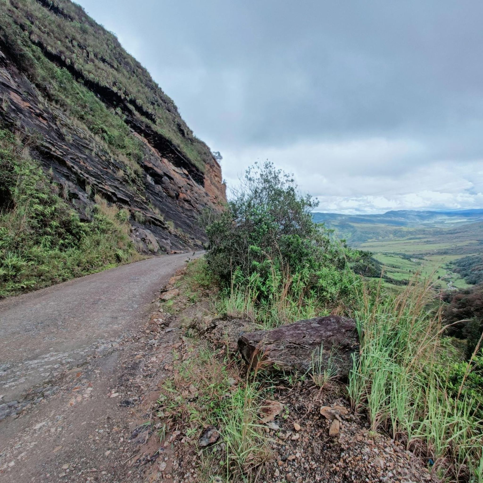
Hiking in Santander
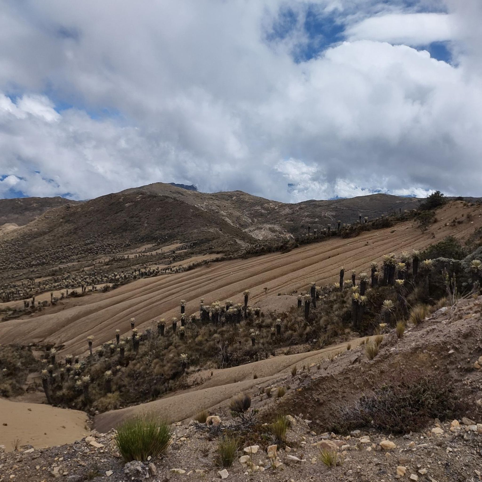
Road Cycling Routes in Santander
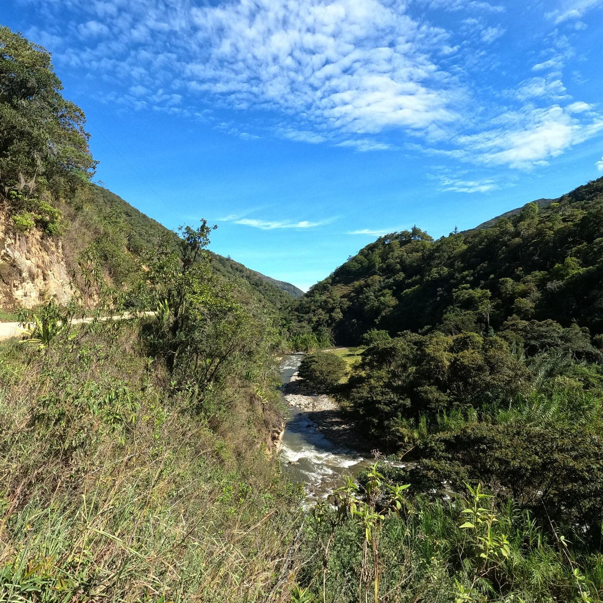
MTB Trails in Santander
Tips from the Community

The Historic Center of Guane is a small, protected neighborhood of Barichara, known for its colonial architecture and indigenous history. Parque Principal: The central village square forms the heart of the place. Calle 8 & Carrera 6: These streets frame the main square. The most important cultural institutions are located on Carrera 6. Iglesia de Santa Lucía: This historic church from the year 1600 is located directly on the main square. Museo Arqueológico y Paleontológico: Located diagonally opposite the church (also on Carrera 6), it displays fossils and artifacts of the Guane indigenous people.
0
0
The Camino Real is a historic trail that connects the colonial village of Barichara to the smaller village of Guane in the Colombian department of Santander. The one-way distance is about 5.5 to 6 km. Hikers typically take 1.5 to 2.5 hours to go from Barichara to Guane. The hike is considered easy, as it is almost exclusively downhill. The path consists of uneven, historic cobblestones that can be slippery when wet.
0
0
The Camino Real is a historic hiking trail that connects the colonial village of Barichara with the smaller village of Guane in the Colombian department of Santander. The one-way distance is approximately 5.5 to 6 km. For the trek from Barichara to Guane, hikers typically take 1.5 to 2.5 hours. The hike is considered easy, as it leads almost exclusively downhill. The path consists of uneven, historic cobblestones that can be slippery when wet.
0
0

At this point the Camino Real begins between Barichara and Guane; here you will find information signs and trail rules.
1
0
The Church of the Immaculate Conception in Barichara is one of the most recognizable symbols of this picturesque town in Santander. Built in 1838 with locally sourced stone, its façade changes color with the daylight, from golden yellow to reddish ochre. Inside, the main altar, covered in gold leaf, and its elegant arched columns are particularly noteworthy. Located across from the main square, it's an ideal starting point for exploring the colonial atmosphere that characterizes Barichara.
1
0

There are cafes and food stalls
0
1

Motmot bird on the side of the road
0
1
View at the beginning of the Camino Real in Barichara
0
1
Frequently Asked Questions
How many jogging routes are available in Santander?
There are over 15 dedicated jogging routes in Santander, offering a variety of experiences from urban parks to routes with varied elevation changes. These routes are highly rated by the komoot community.
Are there any running trails suitable for beginners in Santander?
While many routes in Santander feature moderate elevation changes, routes like Running loop from Bucaramanga offer a mix of urban and green spaces with an elevation gain of just over 80 meters, making them accessible for those starting out. The region's diverse terrain allows for finding paths that match your comfort level.
What kind of terrain can I expect on Santander's running routes?
Santander's running routes offer a mix of urban parks, suburban streets, and paths with varying elevation. You'll find routes traversing developed areas, green spaces, and residential zones, providing options for different ability levels and preferences.
Are there any challenging running routes for experienced runners in Santander?
Yes, for those seeking a challenge, Santander offers routes with significant elevation gains. For example, the Barichara Cathedral – Barichara loop from Barichara is a difficult 12.4 km trail with over 400 meters of elevation gain, providing a demanding workout.
Can I find circular running routes in Santander?
Absolutely. Many of Santander's popular running paths are designed as loops, allowing you to start and finish at the same point. Examples include the Running loop from Parque Ecológico La Flora and the Barichara loop from Barichara, both offering convenient circular options.
What do other runners say about the jogging routes in Santander?
The running routes in Santander are highly rated by the komoot community, with an average score of 5.0 stars from 4 reviews. Over 120 runners have used komoot to explore the varied terrain, often praising the accessibility and diverse environments available for daily runs.
Are there any notable landmarks or attractions near the running trails?
Yes, some running routes pass by or are close to interesting sites. For instance, the Barichara Cathedral – Barichara loop is near the Barichara Cathedral. Other attractions in the region include the Camino Real Barichara-Guane and the Chicamocha Canyon, offering scenic points of interest.
What is the longest running route available in Santander?
One of the longer routes is the Running loop from Piedecuesta, which spans approximately 13.5 kilometers and includes a significant elevation gain of over 620 meters, making it a substantial run.
Are there any running routes that offer a mix of urban and natural scenery?
Many routes in Santander blend urban settings with green spaces. The Running loop from Bucaramanga is a great example, offering a path through the city that incorporates natural elements, providing a varied and engaging experience.
What is the typical duration for a moderate running route in Santander?
Moderate running routes in Santander typically take around 40 minutes to an hour to complete. For example, the Running loop from Parque Ecológico La Flora, which is 8.2 km, usually takes about 52 minutes.
Are there any running routes suitable for a quick, shorter run?
Yes, for a quicker run, you can consider routes like the Running loop from Barrancabermeja. This route is approximately 5.3 kilometers long with minimal elevation, making it ideal for a shorter, more relaxed jog.
Most popular attractions in Santander

Get inspired with the komoot mobile app


Didn’t find what you were looking for?
Check out more Running Trails & Routes throughout Santander below and find the perfect route in your destination.
Explore more
Browse the best Running Trails & Routes in other regions.
