The best road cycling routes in Vega Baja
4.3
(4)
406
riders
50
rides
Road cycling routes in Vega Baja offer a diverse landscape for cyclists. The region features a mix of coastal paths along beaches like Playa Puerto Nuevo and Playa Los Tubos, and inland routes through lush terrain. Unique karst topography, characterized by limestone formations known as "mogotes," provides varied scenery. Cyclists can also encounter natural springs and rivers, contributing to the area's natural beauty.
Best road cycling routes in Vega Baja
- The most popular road cycling route is Toa Baja Bay – Cerro Gordo Recreational Area loop from Vega Baja, a 37.7 miles (60.7 km) trail that takes 2 hours 24 minutes to complete. This route features coastal views and passes through the Cerro Gordo Recreational Area.
- Another top favourite among local road cyclists is Ojo de Agua (Water Spring) – Dos Bocas Dam and Lake, Ciales loop from Vega Baja, a moderate 47.8 miles (77.0 km) path. This route includes significant elevation gain, leading to the Dos Bocas Dam and Lake.
- Local road cyclists also love the Los Tobos Beach loop from Puerto Nuevo, a 19.6 miles (31.5 km) trail leading through coastal areas, often completed in about 1 hour 19 minutes.
- Road cycling in Vega Baja is defined by coastal paths, lush inland landscapes, and routes around natural springs. The network offers options for different ability levels, from easy rides to more challenging routes with notable elevation.
- The routes in Vega Baja are highly rated by the komoot community with an average score of 5.0 stars from over 4 reviews. More than 398 road cyclists have used komoot to explore Vega Baja's varied terrain.
Last updated: July 9, 2026
5.0
(2)
68
riders
61.3km
02:26
220m
220m
The Toa Baja Bay – Cerro Gozos loop offers a captivating road cycling experience through Puerto Rico's northern karst region. You'll pedal along the coast, enjoying views of beaches and lagoons, then head inland through fertile agricultural lands and gently rolling hills. Keep an eye out for the distinctive limestone mogotes that dot the landscape, especially as you approach the Cerro Gozos area, providing unique scenic viewpoints on this varied route.
This moderate 38.1-mile (61.3 km) ride, with 727 feet (222 metres) of elevation gain, typically takes around 2 hours and 26 minutes to complete. It's best suited for cyclists with good fitness looking for a substantial half-day outing. Consider riding on Sunday mornings, as Road 165, a likely segment of this loop, is sometimes closed to cars, offering a more serene and safer environment for cyclists.
What makes this route stand out among Vega Baja cycling trails is its blend of coastal beauty and inland geological wonders. It's a highly-rated route in the Vega Baja Municipio, consistently praised for its diverse terrain and well-paved surfaces. The journey through the Northern Karst area provides a unique insight into Puerto Rico's natural landscape, making it a memorable ride.
3.0
(1)
35
riders
101km
04:00
390m
390m
Moderate road ride. Good fitness required. Mostly well-paved surfaces and easy to ride.

Sign up for free
15
riders
72.5km
02:56
350m
350m
Moderate road ride. Good fitness required. Mostly well-paved surfaces and easy to ride.
8
riders
Moderate road ride. Good fitness required. Mostly well-paved surfaces and easy to ride.
6
riders
42.4km
01:46
220m
220m
Easy road ride. Great for any fitness level. Mostly well-paved surfaces and easy to ride.
11
riders
54.1km
02:14
250m
250m
Moderate road ride. Good fitness required. Mostly well-paved surfaces and easy to ride.
6
riders
31.5km
01:19
170m
170m
Moderate road ride. Great for any fitness level. Some segments of this route may be unpaved and difficult to ride.
8
riders
41.1km
01:53
180m
180m
Moderate road ride. Great for any fitness level. Some segments of this route may be unpaved and difficult to ride.
6
riders
38.5km
01:34
210m
210m
Easy road ride. Great for any fitness level. Mostly well-paved surfaces and easy to ride.
7
riders
98.2km
04:07
610m
610m
Moderate road ride. Good fitness required. Mostly well-paved surfaces and easy to ride.
Get access to more routes and recommendations from other explorers.
Sign up for free
Already have an account?
Our route recommendations are based on thousands of hikes, rides, and runs completed by other people on komoot.
Start today with a free account
Your next adventure awaits.
Login or Signup
Popular around Vega Baja








Tips from the Community

You can road all the way from Cataño county or you can drive until Punta Salinas beach and ride from there. If you came from west, you can drive trough Dorado county. The reference is allways the 165 road number. This sections is closed on Sunday mornings to cars and open exclusive to bicycle riders or pedestrians. On vacations days, the county dons't closes to cars on sundays. You can drive this road any day, even the hurricane one, but unless your own risk.
0
0

There are miles of scenic bike trails in the reserve, many of which are grassy doubletrack. The hacienda is also an important historic site with an old sugar mill, steam engine, and tours. You can explore some of the ruins and old plantation lands on your own terms via bike.
0
0


Area to practice recreational fishing, kayaking or MTB. It has gazebos for lunch, but they are pretty unworthy so use them at your own risk.
0
0

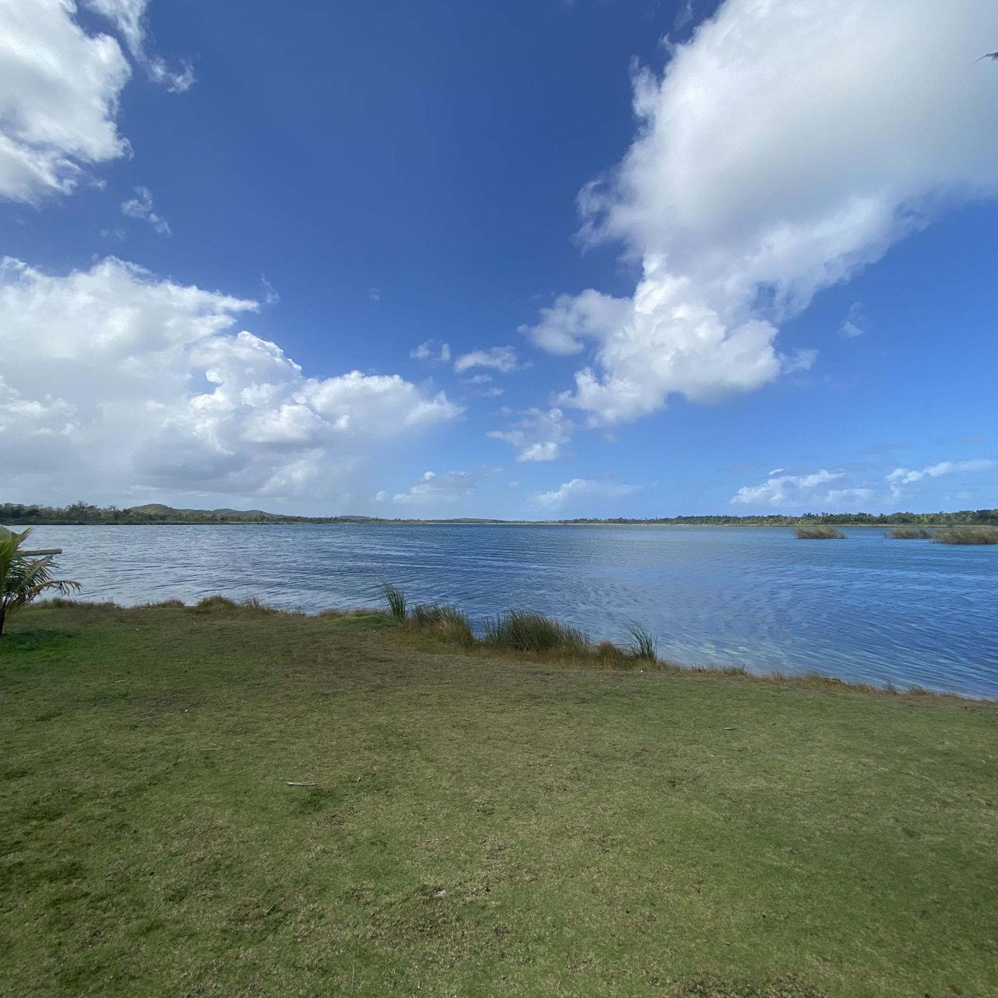
The lagoon covers an area of approximately 2.43 km2 and contains a total volume of water of 708 million gallons. It is made up of two segments: Laguna Tortuguero, which includes the northeastern swamp known as Cabo Caribe, and Laguna Rica. Its prevailing depth is between four to five feet. The most important hydrological consideration is the relationship between the Lagoon and its main water sources; groundwater from aquifers and water that runs through surface river discharges during rains.
0
0
Get a well-deserved dip into this urban fresh-water spring just off PR-2.
0
0
Frequently Asked Questions
How many road cycling routes are available in Vega Baja?
Vega Baja offers a wide selection of road cycling routes, with over 50 routes available for exploration. These routes cater to various skill levels, from easy rides to more challenging ascents.
What kind of terrain can I expect on road cycling routes in Vega Baja?
Road cycling in Vega Baja features a diverse landscape. You'll find coastal paths along stunning beaches like Playa Puerto Nuevo and Playa Los Tubos, as well as lush inland routes. The region is also known for its unique karst topography, characterized by distinctive limestone formations called "mogotes," which add varied scenery to your ride. Many routes feature mostly paved surfaces.
What natural features or landmarks can I see while road cycling in Vega Baja?
While road cycling in Vega Baja, you can encounter several natural features. Routes often pass by serene natural springs like Manantial Ojo de Agua and Guayaney Spring. The unique karst topography means you might see limestone formations known as "mogotes." Some routes, like the Ojo de Agua (Water Spring) – Dos Bocas Dam and Lake, Ciales loop from Vega Baja, lead to significant water bodies like Dos Bocas Dam and Lake.
Are there road cycling routes suitable for beginners in Vega Baja?
Yes, Vega Baja offers several road cycling routes suitable for beginners. There are 8 easy routes available, providing options with minimal elevation gain for a comfortable ride. An example of an easy route is the Ojo de Agua (Water Spring) – Vega Baja Beach loop from Vega Baja, which covers 22.9 miles (36.9 km).
Are there challenging road cycling routes for experienced cyclists?
Experienced cyclists looking for a challenge will find several options in Vega Baja. The region has 7 difficult routes with notable elevation gains. For instance, the Ojo de Agua (Water Spring) – Dos Bocas Dam and Lake, Ciales loop from Vega Baja is a moderate route that includes significant elevation gain, leading to the Dos Bocas Dam and Lake.
Can I find circular road cycling routes in Vega Baja?
Yes, many road cycling routes in Vega Baja are designed as loops, allowing you to start and end at the same point. Examples include the popular Toa Baja Bay – Cerro Gordo Recreational Area loop from Vega Baja, the Los Tobos Beach loop from Puerto Nuevo, and the Ojo de Agua (Water Spring) loop from Vega Baja.
What is the best time of year for road cycling in Vega Baja?
Vega Baja's tropical climate generally makes it suitable for road cycling year-round. However, for the most comfortable conditions, consider visiting during the drier and slightly cooler months, typically from December to April. Always check local weather forecasts before heading out.
Where can I find parking for road cycling routes in Vega Baja?
Specific parking information varies by route. However, popular starting points for routes often have designated parking areas. For example, routes passing through recreational areas like Cerro Gordo or near beaches may offer parking facilities. It's advisable to check the route details on komoot for specific trailhead and parking recommendations.
Are there amenities like cafes or bike shops near the road cycling routes?
Yes, Vega Baja has an active cycling community, and you can find amenities to support your ride. The region benefits from local cycling resources such as the Pedalea Bike Shop, which provides equipment and repair services. You may also find cafes and other establishments in towns and along popular routes, especially near coastal areas or natural springs like Ojo de Agua.
What do other cyclists say about road cycling in Vega Baja?
The road cycling routes in Vega Baja are highly rated by the komoot community, with an average score of 5.0 stars from over 4 reviews. Cyclists often praise the diverse scenery, which includes stunning coastal views, lush inland landscapes, and unique geological formations. The variety of routes catering to different ability levels is also frequently appreciated.
Are there any historical or cultural attractions accessible by road bike?
Yes, you can incorporate cultural and historical attractions into your road cycling routes. The Hacienda La Esperanza, with its historic sugar mill and steam engine, offers a glimpse into the region's past and can be a fascinating stop during your ride. Exploring the north-side beaches also allows for a blend of ancient history and vibrant local culture.
Are permits required for cycling on any routes in Vega Baja?
Generally, permits are not required for road cycling on public roads and established routes in Vega Baja. However, if your route takes you through specific private properties, protected natural reserves, or designated recreational areas, it's always best to check for any specific access rules or permit requirements beforehand.

Get inspired with the komoot mobile app


Didn’t find what you were looking for?
Check out more Road cycling routes throughout Vega Baja below and find the perfect route in your destination.
Explore more
Browse the best Road cycling routes in other regions.
