The best walks and hikes around Guggenhausen
4.6
(6487)
24,358
hikers
610
hikes
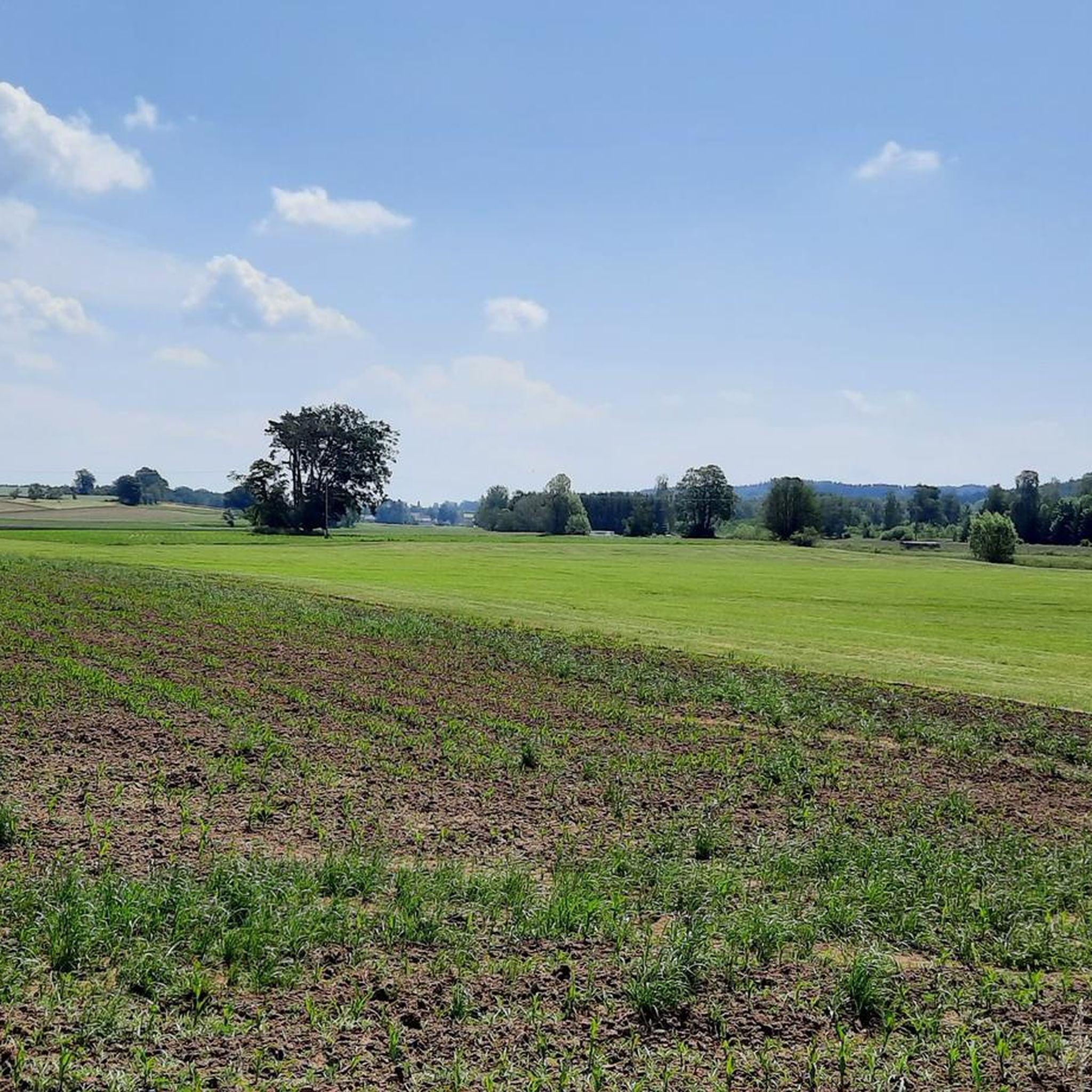
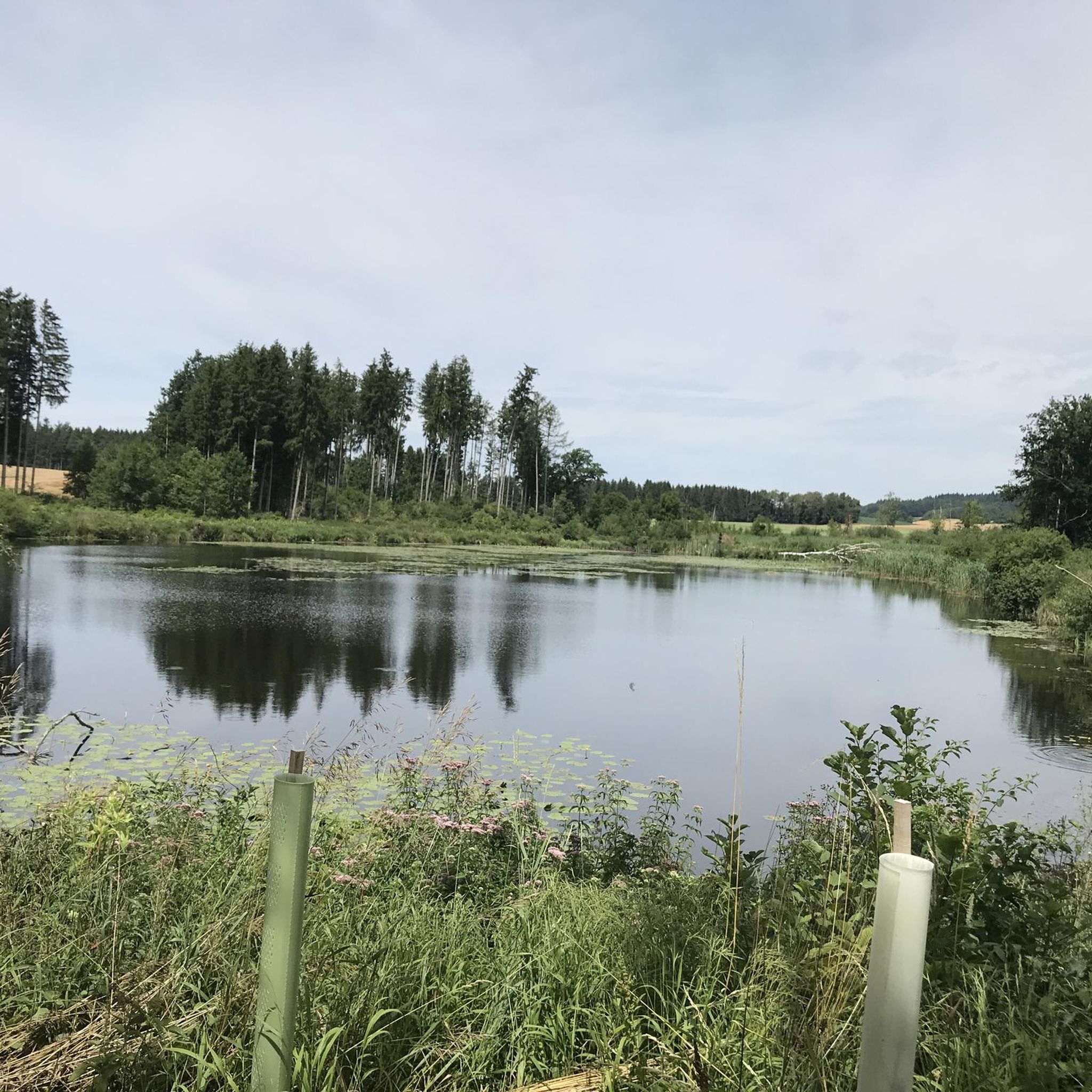
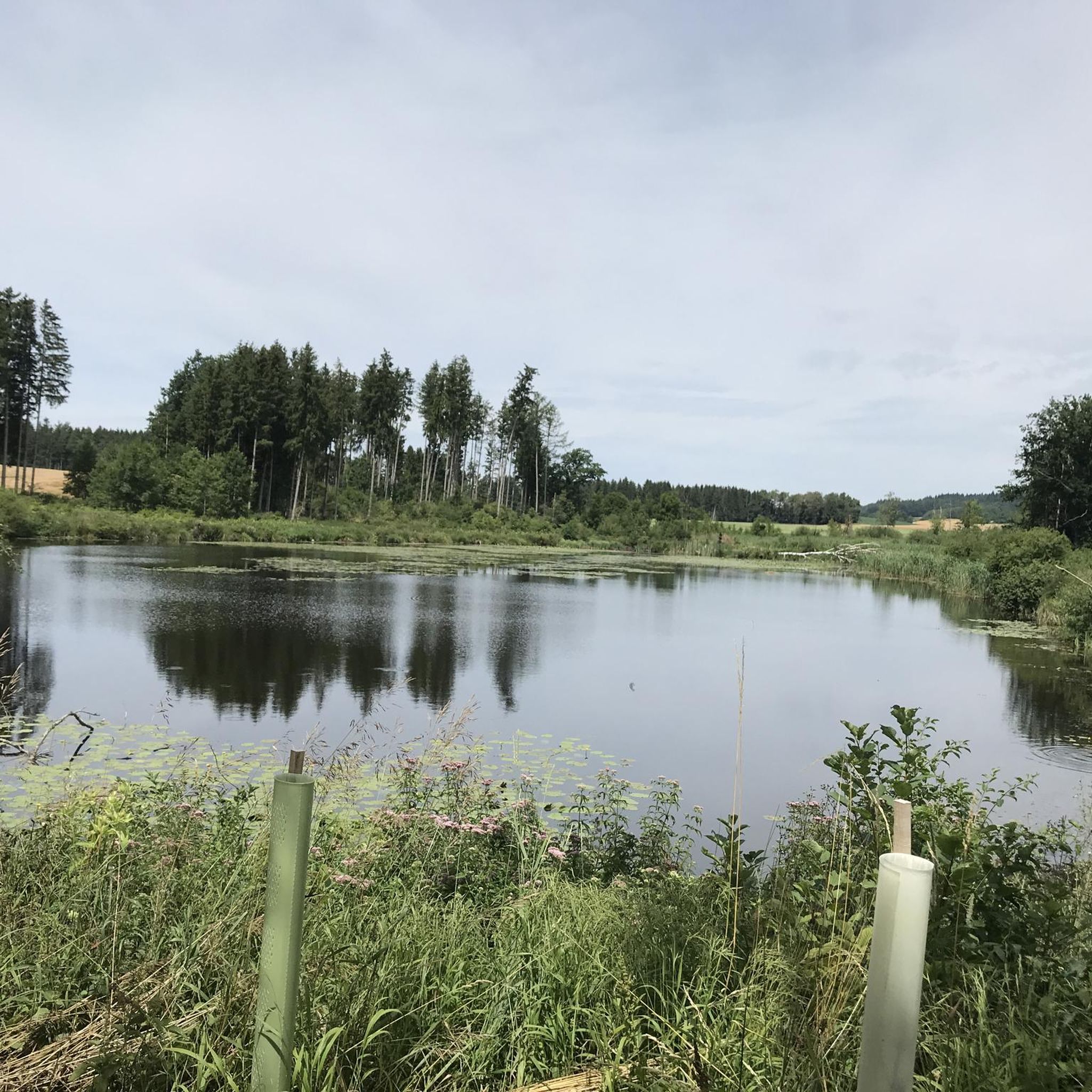
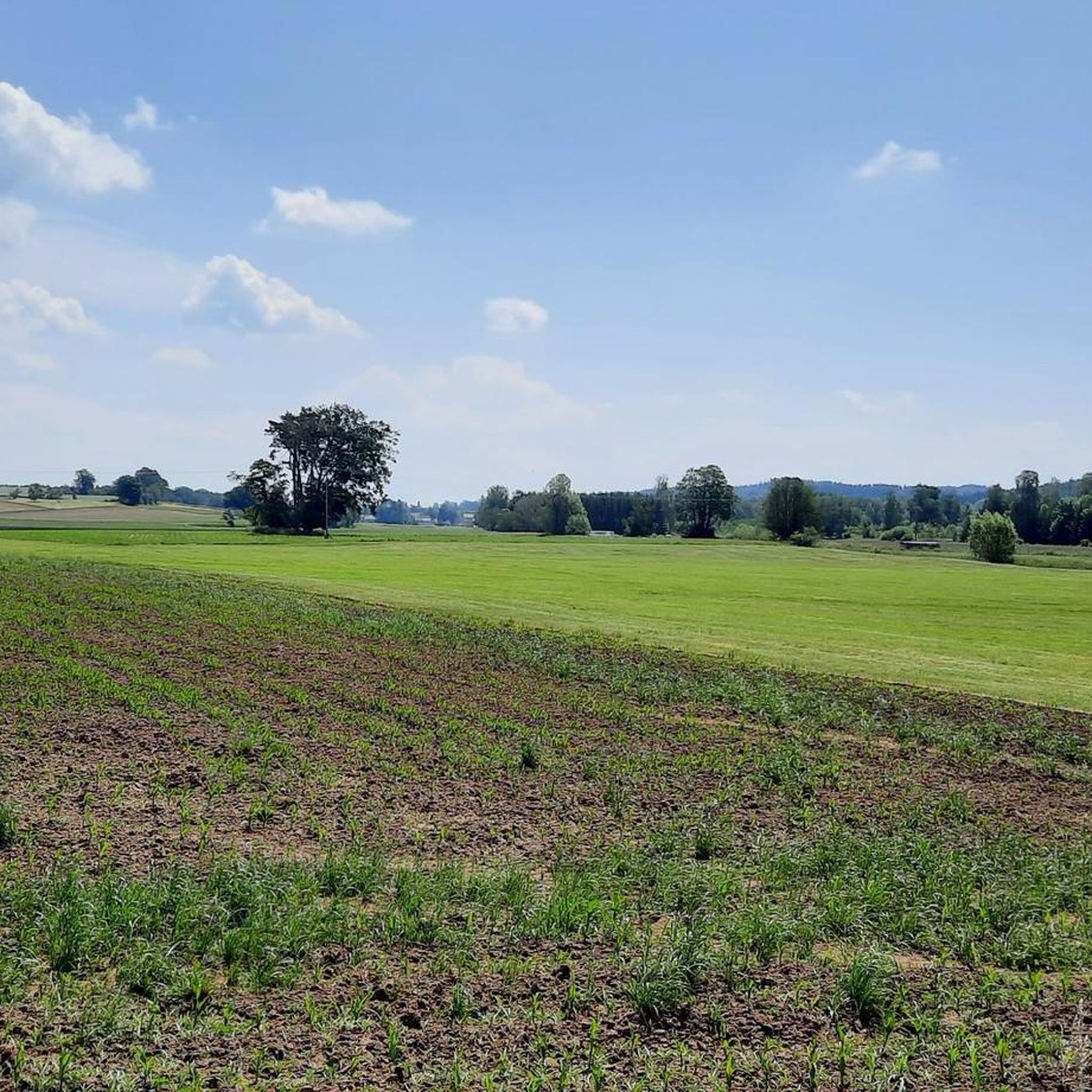
Hiking around Guggenhausen offers a diverse landscape characterized by scenic forests, gently rolling hills, and expansive green meadows. The region features numerous lakes and is situated near the Pfrunger-Burgweiler Ried, a significant natural area. Its proximity to the Alpine foothills provides varied terrain, ranging from easy paths to more challenging ascents. The area's natural environment is rich and varied, ideal for outdoor exploration.
Best hiking trails around Guggenhausen
- The most popular hiking route is Hosskircher See – Königseggsee loop from…
Last updated: July 4, 2026
4.3
(8)
47
hikers
5.87km
01:31
30m
30m
Easy hike. Great for any fitness level. Easily-accessible paths. Suitable for all skill levels.
4.0
(2)
7
hikers
16.2km
04:22
200m
200m
Moderate hike. Good fitness required. Easily-accessible paths. Suitable for all skill levels.

Sign up for free
5.0
(1)
5
hikers
5.17km
01:22
50m
50m
Easy hike. Great for any fitness level. Easily-accessible paths. Suitable for all skill levels.
5.0
(2)
8
hikers
9.67km
02:39
140m
140m
Moderate hike. Good fitness required. Easily-accessible paths. Suitable for all skill levels.
6
hikers
4.53km
01:12
40m
40m
Easy hike. Great for any fitness level. Easily-accessible paths. Suitable for all skill levels.
Get access to more routes and recommendations from other explorers.
Sign up for free
Already have an account?
Our route recommendations are based on thousands of hikes, rides, and runs completed by other people on komoot.
Start today with a free account
Your next adventure awaits.
Login or Signup
Tips from the Community

And no annoying mosquitoes up there.
0
0

Great view
0
0

The Pfrunger-Burgweiler Ried (formerly Pfrunger Ried), with its 2,600 hectares, is the second largest contiguous moorland in southwest Germany after the Federsee. The Ried lies at an average elevation of 610 m above sea level in the districts of Ravensburg and Sigmaringen, near the municipalities of Wilhelmsdorf and Ostrach. It is surrounded by Tertiary molasse uplands, which reach their highest elevations at Rinkenburg (718 m above sea level) and Höchsten (837.8 m above sea level). Only small parts of the moorland, which once covered almost 3,000 hectares, have survived. Almost 2,000 hectares have been converted to grassland, and about 400 hectares are planted with birch and black alder trees. 120 hectares of water bodies were created by peat cutting; thus, the lowland and intermediate moor areas in particular have disappeared, with only a few remnants. However, the raised bogs have been largely preserved and cover an area of almost 150 hectares. The Pfrunger-Burgweiler Ried Nature Reserve has existed since 1980, covering an area of 780 hectares. It is intensively managed both scientifically and through experiential education and is accessible to visitors via several nature trails. Today's bog area is the remnant of a post-glacial lake that gradually filled with sediment and mineral deposits after the melting of the Rhine glacier, thus partially silting up. This gave rise to fens and, in some places, raised bogs above them. These areas were characterized by depth and wetness and were unsuitable for permanent human settlement. However, mineral infiltration also led to the formation of permanent islands on which the first permanent human settlements emerged. The core of the area, however, remained uninhabited and was considered uncultivable, inferior land. Source: https://de.wikipedia.org/wiki/Pfrunger-Burgweiler_Ried
3
0

Beautiful view to Hosskirch and Hüttenreute
0
0

information board
0
0

From the almost 39 meter high Bannwaldturm you have a sensational panorama over the large moorland area of the Pfrunger-Burgweiler Ried nature reserve. Highly recommended, don't be put off by the 219 steps.
4
1

The small chapel is located right on the side of the road.
2
0

Beautiful castle on the mountain in private ownership
0
0
Frequently Asked Questions
How many hiking trails are available in Guggenhausen?
Guggenhausen offers a wide variety of hiking experiences, with over 600 trails documented on komoot. This includes a diverse range of routes suitable for different fitness levels and preferences.
What kind of landscapes can I expect to see while hiking in Guggenhausen?
The region around Guggenhausen is characterized by picturesque forests, gently rolling hills, and expansive green meadows. You'll also find numerous tranquil lakes and the significant natural area of the Pfrunger-Burgweiler Ried. Its proximity to the Alpine foothills means you can experience varied terrain, from easy paths to more challenging ascents.
Are there easy hiking trails suitable for beginners or casual walkers?
Yes, Guggenhausen is very welcoming for beginners and those looking for relaxed walks. Over 370 of the trails are rated as easy. A great option is the Hosskircher See – Königseggsee loop from Hoßkirch, an easy 3.6-mile route connecting two beautiful lakes.
Can I find circular walks in Guggenhausen?
Absolutely, many of the hiking routes in Guggenhausen are circular, allowing you to start and end at the same point. For example, the Kleiner See – Laubbacher Mill and Pond loop from Unterwaldhausen is a moderate 10.2-mile circular path that showcases diverse natural landscapes.
Are there any hikes that pass by lakes or water features?
Yes, the area is rich in water features. You can explore routes around several lakes, such as the Königseggsee – Hosskircher See loop from Unterwaldhausen. Additionally, you might encounter the serene Häckler Pond on some trails.
What are some notable natural areas or attractions to explore near Guggenhausen?
Beyond the general scenic beauty, you can visit the Pfrunger-Burgweiler Ried, a significant natural area with various hiking possibilities. For panoramic views, consider a hike towards the Bannwald Tower within the Ried. There's also the impressive Schmalegger Tobel Waterfall for a refreshing natural sight.
What do other hikers enjoy most about hiking in Guggenhausen?
The hiking trails in Guggenhausen are highly regarded by the komoot community, boasting an average rating of 4.6 out of 5 stars from over 6,300 reviews. Hikers frequently praise the tranquil atmosphere, the well-maintained paths, and the harmonious blend of forests, rolling hills, and lakes that define the region.
Are there any more challenging hikes for experienced trekkers?
While Guggenhausen is known for its gentle landscapes, there are a few more demanding routes, with 9 trails rated as difficult. The proximity to the Alpine foothills also offers opportunities for more challenging and rewarding hikes with potentially stunning vistas, though these may require venturing slightly further afield.
When is the best time of year to hike in Guggenhausen?
The diverse landscapes of Guggenhausen are enjoyable throughout the year. Spring brings lush greenery and blooming wildflowers, while summer offers warm weather perfect for lakeside strolls. Autumn transforms the forests with vibrant colors, and even winter can be beautiful for crisp, quiet walks, especially in the Pfrunger-Burgweiler Ried.
Are there family-friendly hiking options in Guggenhausen?
Yes, Guggenhausen offers many trails suitable for families. The easy and moderate routes, often passing by lakes or through gentle forests, are ideal for outings with children. The well-maintained paths ensure a pleasant experience for all ages.
Can I bring my dog on the hiking trails in Guggenhausen?
Generally, dogs are welcome on most hiking trails in the Guggenhausen region. It's always a good idea to keep them on a leash, especially in nature conservation areas like the Pfrunger-Burgweiler Ried, and to be mindful of local regulations and other hikers.
Most popular routes around Guggenhausen
Most popular attractions around Guggenhausen

Get inspired with the komoot mobile app


Explore more
Browse the best Hikes in other regions.
