The best road cycling routes in Naranjito
4.7
(10)
166
riders
15
rides
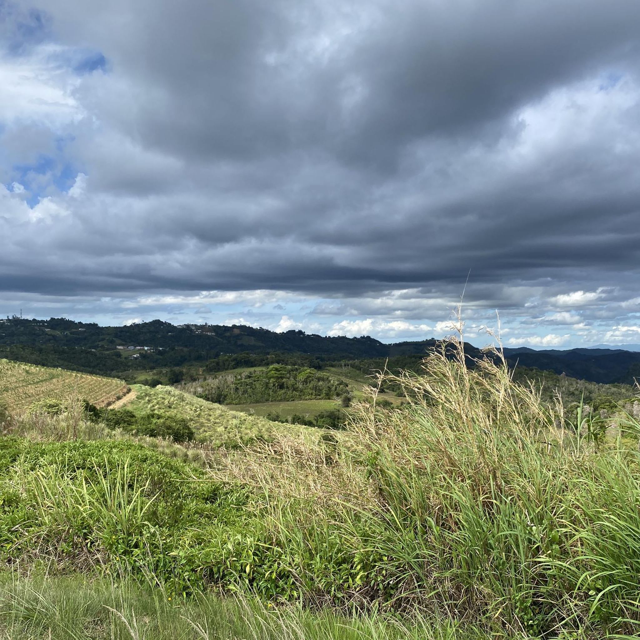
Road cycling in Naranjito features a diverse landscape within Puerto Rico's central mountain range, characterized by verdant mountains, rolling hills, and scenic valleys. The region is traversed by several rivers, including the Río Bayamón, and includes areas near Toa Baja Bay. Road cycling routes offer varied terrain, from flatter sections suitable for easier rides to significant elevation gains on more challenging paths. The area provides a mix of urban and natural environments, with mostly well-paved surfaces.
Best road cycling routes…
Last updated: June 25, 2026
4.7
(10)
103
riders
22.9km
00:57
70m
70m
Easy road ride. Great for any fitness level. Mostly well-paved surfaces and easy to ride.
12
riders
51.1km
02:53
1,140m
1,140m
Hard road ride. Very good fitness required. Mostly well-paved surfaces and easy to ride.

Sign up for free
6
riders
60.4km
02:52
850m
850m
Moderate road ride. Good fitness required. Mostly well-paved surfaces and easy to ride.
4
riders
52.3km
02:40
850m
850m
Moderate road ride. Good fitness required. Mostly well-paved surfaces and easy to ride.
6
riders
47.4km
02:26
850m
850m
Moderate road ride. Good fitness required. Mostly well-paved surfaces and easy to ride.
5
riders
64.5km
03:57
1,660m
1,660m
Hard road ride. Very good fitness required. Mostly well-paved surfaces and easy to ride.
Get access to more routes and recommendations from other explorers.
Sign up for free
Already have an account?
Our route recommendations are based on thousands of hikes, rides, and runs completed by other people on komoot.
Start today with a free account
Your next adventure awaits.
Login or Signup


Tips from the Community

After three o'clock the weather gets cooler for running.
0
0

Paseo Lineal Río Bayamón offers one of Puerto Rico's best paved routes, starting in Bayamón and stretching 5.5 miles along the river to Ensenada de Boca Vieja. The path winds through a manicured park, with separate lanes for cyclists and pedestrians. Along the way are exercise stations, rest stops, and river views.
0
1

Family park to walk, running, bike They have separate lanes for walk/running and bikes
4
0

Get a well-deserved dip into this urban fresh-water spring just off PR-2.
0
0
The river travels through the municipalities of Ciales, Manatí, Barceloneta, Morovis, Corozal, Barranquitas and Naranjito in Puerto Rico.
0
0
Frequently Asked Questions
How many road cycling routes are available in Naranjito?
Naranjito offers a good selection of road cycling routes, with over 10 distinct tours mapped on komoot. These routes cater to various skill levels, from easy rides to more challenging ascents.
Are there easy road cycling routes suitable for beginners in Naranjito?
Yes, Naranjito has routes perfect for beginners. The Paseo Lineal Río Bayamón loop from Caribbean University is an excellent easy option, following the linear park along the Río Bayamón for 14.3 miles (22.9 km) with minimal elevation gain.
What are the options for advanced road cyclists looking for a challenge in Naranjito?
Advanced road cyclists will find challenging routes with significant elevation gains in Naranjito. The Roadbike loop from Ortiz, for example, is a difficult 31.8 miles (51.1 km) trail that features over 1,100 meters of climbing, offering a substantial workout.
Are there any scenic road cycling routes with bay views in Naranjito?
Absolutely. The region features routes that offer beautiful views of Toa Baja Bay. The Toa Baja Bay loop from Martínez Nadal is a popular moderate route that provides scenic vistas of the bay area.
Can I find loop routes for road cycling in Naranjito?
Yes, many of the road cycling routes in Naranjito are designed as loops, allowing you to start and finish at the same point. Examples include the Paseo Lineal Río Bayamón loop from Caribbean University and the Roadbike loop from Caribbean University.
What kind of terrain can I expect on road cycling routes in Naranjito?
Naranjito's road cycling terrain is quite varied. You'll find flatter sections along riverine paths, such as those near the Río Bayamón, as well as routes with significant elevation gains through hilly and undulating areas. This mix provides options for different preferences and fitness levels.
What do other road cyclists enjoy most about road cycling in Naranjito?
The road cycling routes in Naranjito are highly rated by the komoot community, with an average score of 4.0 stars. Cyclists often praise the diverse landscape, which includes river valleys, bay views, and varied hilly terrain, offering a dynamic riding experience.
Are there any moderate-difficulty road cycling routes in Naranjito?
Yes, Naranjito offers several moderate-difficulty routes. The Toa Baja Bay loop from Quebrada Arenas is a moderate 37.2 miles (59.8 km) route with over 400 meters of elevation gain, providing a good challenge without being overly strenuous.
What is the typical distance for road cycling routes in Naranjito?
The distances for road cycling routes in Naranjito vary widely. You can find shorter routes like the Paseo Lineal Río Bayamón loop at 14.3 miles (22.9 km), up to longer rides such as the Toa Baja Bay loop from Martínez Nadal, which covers 35.3 miles (56.9 km).
What is the best time of year for road biking in Naranjito?
Given Puerto Rico's tropical climate, road cycling in Naranjito is generally possible year-round. However, the cooler, drier months from December to April are often preferred for more comfortable riding conditions, avoiding the peak heat and humidity of summer and the hurricane season.
Are there routes that explore different parts of the Naranjito municipality?
Yes, the road cycling network in Naranjito traverses various parts of the municipality, offering a mix of urban and natural environments. Routes like the Roadbike loop from Barrio Pueblo allow cyclists to experience different local areas and landscapes.
Most popular routes in Naranjito

Get inspired with the komoot mobile app


Didn’t find what you were looking for?
Check out more Road cycling routes throughout Naranjito below and find the perfect route in your destination.
Explore more
Browse the best Road cycling routes in other regions.
