The best walks and hikes in Sonora
4.6
(17)
170
hikers
14
hikes
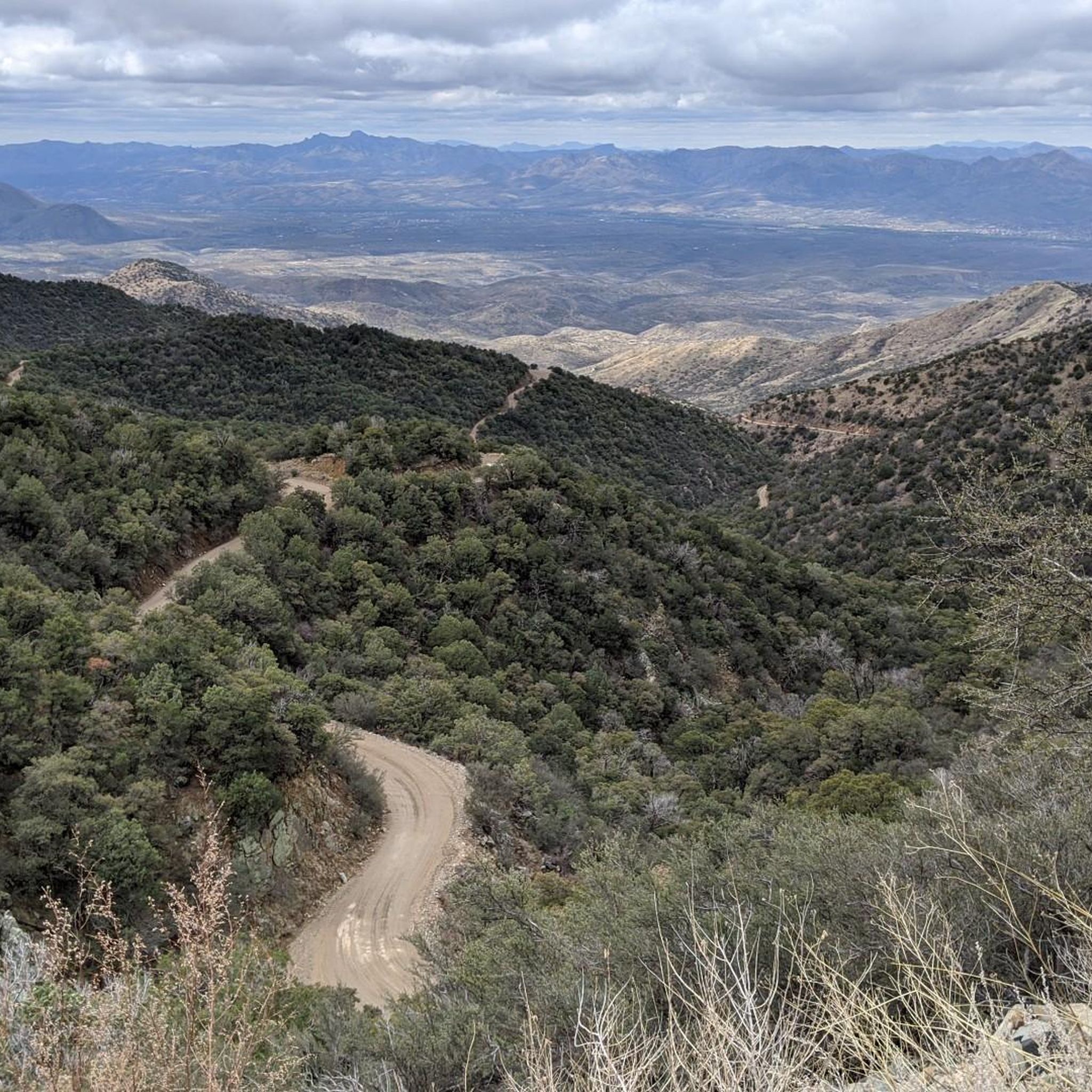
Hiking in Sonora offers diverse landscapes, ranging from arid desert environments to mountainous regions with varied elevations. The terrain is characterized by a mix of oak woodlands, high-alpine lakes, and forested ridges, particularly in the Sierra Nevada areas. Coastal and desert ecosystems are also prominent, featuring unique geological formations and scenic canyons. This region provides a wide array of hiking opportunities across different natural settings.
Best hiking trails in Sonora
- The most popular hiking route is Arizona Trail: Passage 1…
Last updated: July 8, 2026
5.0
(1)
4
hikers
32.8km
10:30
1,310m
1,380m
Embark on a challenging hike through Arizona Trail: Passage 1 - Huachuca Mountains, a difficult 20.4-mile (32.8 km) route that takes around 10 hours and 30 minutes to complete. You…
4
hikers
16.3km
04:23
180m
210m
Hike the moderate 10.2-mile Baker-Milton Trail Loop in Organ Pipe Cactus National Monument, exploring desert landscapes and the Baker Mine.

Sign up for free
1
hikers
5.94km
01:53
410m
0m
Embark on the Montezuma Pass Road Hike, a moderate 3.7 miles (5.9 km) route that challenges you with 1331 feet (406 metres) of elevation gain, typically completed in about 1…
3.0
(1)
22
hikers
15.5km
05:29
880m
880m
Hike the difficult Miller Peak via Crest Trail for 9.6 miles (15.5 km) through Coronado National Forest to panoramic summit views.
19.0km
05:26
440m
440m
Embark on a challenging hike along the Sycamore Creek Trail, a difficult route spanning 11.8 miles (19.0 km) through the Pajarita Wilderness. You will gain 1443 feet (440 metres) in…
4.7
(3)
32
hikers
Easy hike. Great for any fitness level. Easily-accessible paths. Suitable for all skill levels.
5.0
(9)
25
hikers
3.34km
01:19
240m
240m
Easy hike. Great for any fitness level. Easily-accessible paths. Suitable for all skill levels.
5.0
(2)
14
hikers
Easy hike. Great for any fitness level. Easily-accessible paths. Suitable for all skill levels.
14
hikers
Easy hike. Great for any fitness level. Easily-accessible paths. Suitable for all skill levels.
11
hikers
3.58km
00:54
10m
10m
Easy hike. Great for any fitness level. Easily-accessible paths. Suitable for all skill levels.
Get access to more routes and recommendations from other explorers.
Sign up for free
Already have an account?
Our route recommendations are based on thousands of hikes, rides, and runs completed by other people on komoot.
Start today with a free account
Your next adventure awaits.
Login or Signup






Tips from the Community

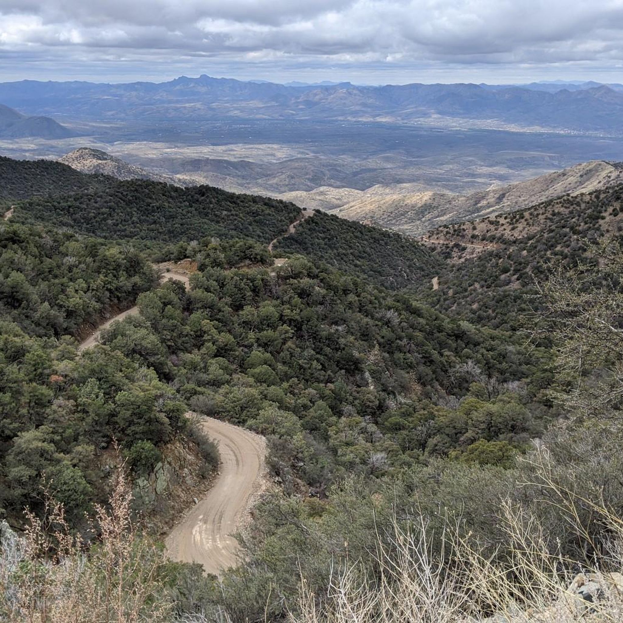
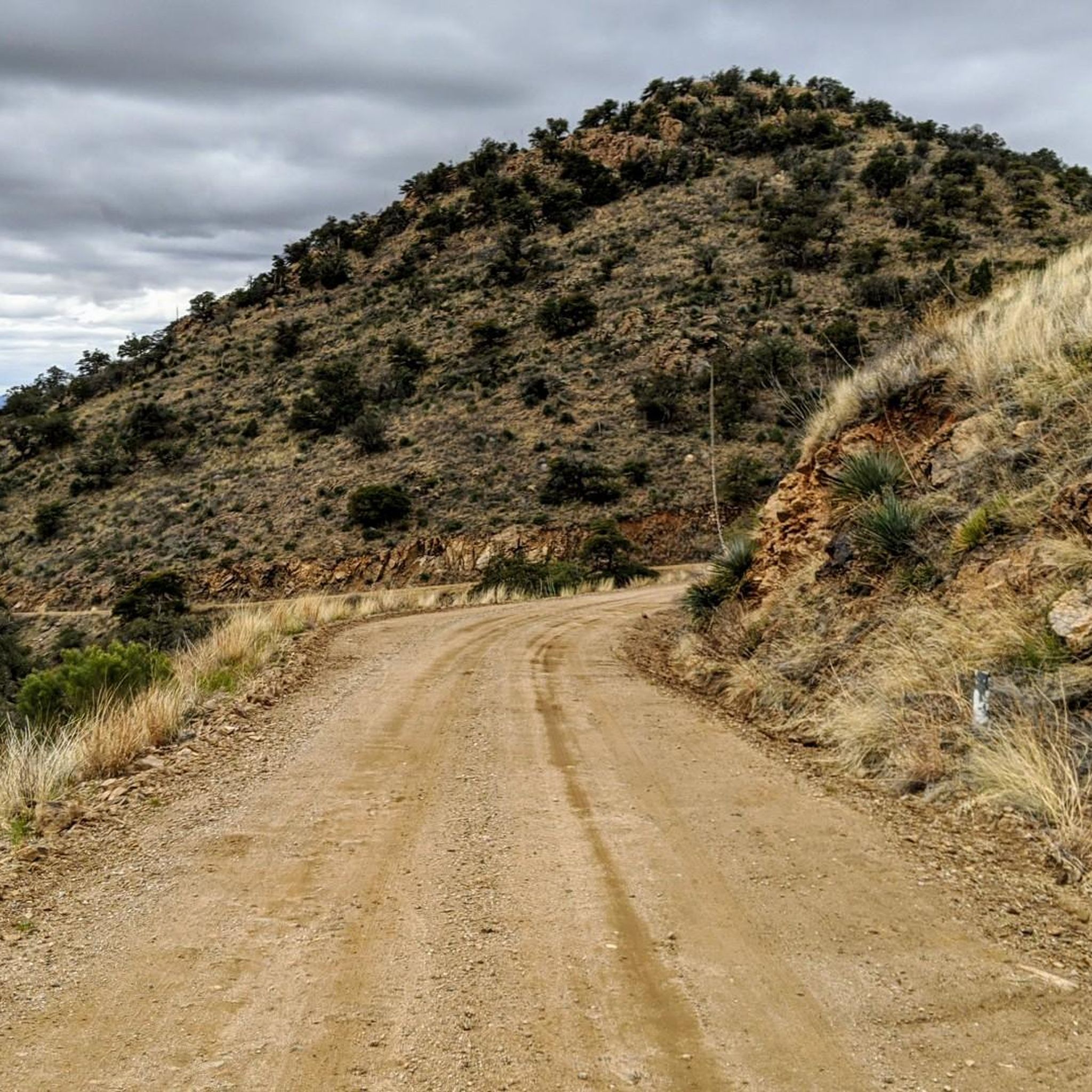
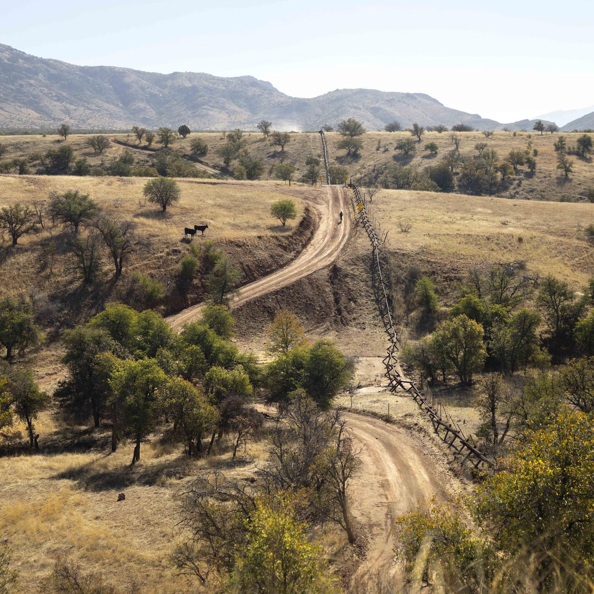
Here, along the Mexico—US border is where an 800 mile long adventure begins. The Arizona Trail winds its way through deserts, canyons, and across mountain passes and traverses a wide array of ecosystems. And it all starts, or ends, right here.
0
0

From the pass there is a .4mile walk to Coronado Peak that shows all the views in this area even better than the pass itself: www.cyclepass.com/t_paz_Montezuma_Pass.html
0
0

The Perimeter Trail circumfences the Twin Peaks Campground. The loop is less than a mile long and shows you the natures that surrounds the campground. It is connected to the Palo Verde Trail that leads to the visitor center and the Victoria Mine Trail to the south.
3
0
At the Kris Eggle Visitor Center, ranger provide you with information and tips to enjoy and explore Organ Pipe Cactus National Monument. Moreover, there is an information desk with maps and guides, an exhibit area where you can learn about the Sonoran Desert, its flora and fauna, and a bookstore. The restrooms can be found outside the visitor center which is open year-round from 8 AM to 4 PM. There is also a short interpretive trail around the visitor center with interesting information boards and a pond with rare Quitobaquito fish.
3
0
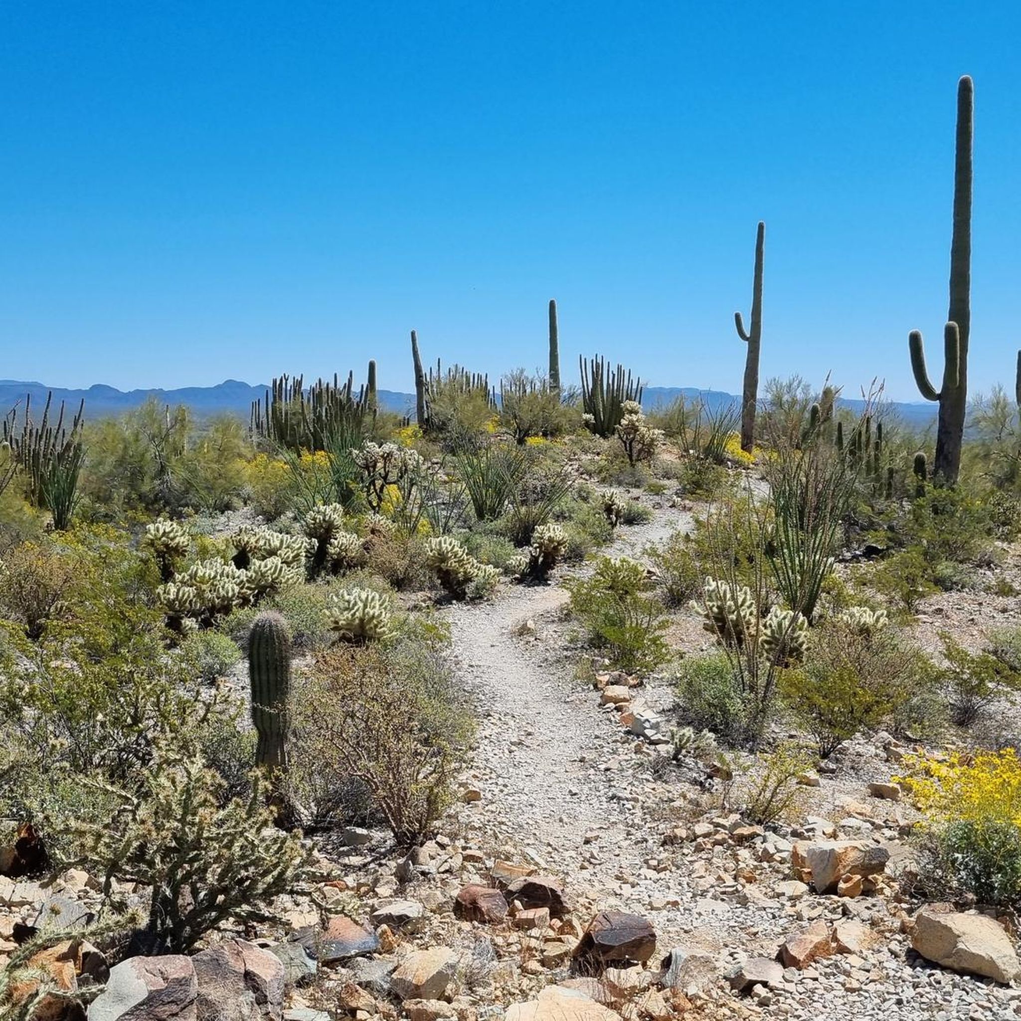
The Desert View Trailhead is located at the northwestern corner of Twin Peaks Campground. There are restrooms and drinking water available as well as a trail register that you can sign. The Desert View Trail is 1.1-mile loop that takes you through a beautiful natural cactus garden with giant Saguaros and plenty of Organ Pipe Cacti.
3
0
The Palo Verde Trail connects the Twin Peaks Campground with the visitor center in Organ Pipe Cactus National Monument. It is a nice hike and you can extend it with the Interpretive Trail that loops around the visitor center.
3
0
Twin Peaks Campground is one of two campgrounds within Organ Pipe Cactus National Monument. It is the only one that is developed and has restrooms and even showers. Each site is equipped with at least a tentsite, picnic bench and a barbecue pit. Only a few offer shade and tentsites are separated from RV sites. You can reserve a site via www.recreation.gov. There are several hiking trails located directly at the campground: the Perimeter Trail is a loop around the campground, the Desert View Trail is a nice loop leading through a natural cactus garden and the Victoria Mine Trail takes you deep into the backcountry to relics of the mining past.
3
0

There are restrooms and ample parking at the trailhead. This loop is really well maintained and makes for a great warm-up lap to get a feel for the desert. There is a small climb and a delightful variety of cacti to marvel at along the path.
0
0
Frequently Asked Questions
How many hiking trails are there in Sonora?
Komoot features over 10 hiking routes in Sonora, offering a variety of experiences from easy strolls to challenging ascents. The region's diverse landscapes provide options for all skill levels.
What kind of terrain can I expect when hiking in Sonora?
Sonora's hiking terrain is incredibly diverse. You can expect arid desert environments, mountainous regions with oak woodlands, high-alpine lakes, and forested ridges, especially in areas near the Sierra Nevada. Coastal and scenic canyon ecosystems are also prominent, featuring unique geological formations.
Are there any family-friendly hiking options in Sonora?
Yes, Sonora offers several family-friendly hikes. For example, the Desert View Trailhead – Twin Peaks Campground loop is an easy option, as is the Desert View Trailhead – View to Mexiko loop. In Sonora, Mexico, the iconic Tetakawi mountain, while steep, is often considered family-friendly due to its rewarding views.
Can I bring my dog on the hiking trails in Sonora?
While specific regulations vary by trail and protected area, many outdoor spaces in Sonora are dog-friendly. It's always best to check the specific rules for each trail or park beforehand. Always keep your dog on a leash and pack out any waste.
Are there any circular hiking routes in Sonora?
Yes, there are several circular routes available. The Baker-Milton Trail Loop is a moderate 10.1-mile path that explores varied natural surroundings. Other easy loops include the Desert View Trailhead – Twin Peaks Campground loop and the Cerro del Bachoco loop.
What are some notable natural features or landmarks to look out for?
Hikers in Sonora can encounter diverse features. In the California region, you might see oak woodlands, high-alpine lakes like Pinecrest Lake, and views of the Sierra crest. In Sonora, Mexico, explore the unique rock formations of Nacapuli Canyon or the panoramic coastal views from Tetakawi mountain. The region also features desert landscapes and unique geological formations.
What are the most challenging hikes in Sonora?
For those seeking a challenge, Sonora offers several difficult routes. The Arizona Trail: Passage 1 - Huachuca Mountains is a demanding 20.4-mile trail traversing mountain terrain. Another difficult option is Miller Peak via Crest Trail, which involves significant elevation gain.
What is the best time of year to go hiking in Sonora?
The best time to hike in Sonora depends on the specific area and elevation. Generally, spring and fall offer pleasant temperatures for desert and lower-elevation trails. For higher mountain trails, especially in the Sierra Nevada areas, summer and early fall are ideal to avoid snow and enjoy milder weather. Always check local conditions before heading out.
Are there any trails with waterfalls in Sonora?
While the immediate guide data doesn't highlight specific waterfall trails, the Sierra Nevada region, which is accessible from Sonora, California, is known for its cascading waterfalls, especially during spring snowmelt. Yosemite National Park, nearby, is famous for its numerous waterfalls.
What do other hikers say about the trails in Sonora?
The trails in Sonora are highly rated by the komoot community, with an average score of 4.7 stars from over 10 reviews. Hikers often praise the diverse landscapes, from desert to mountain, and the variety of options available for different skill levels.
Is parking available at the trailheads?
Most established trailheads in Sonora, particularly those leading to popular routes or within parks, offer designated parking areas. However, it's always advisable to check specific trailhead information or park websites for details on parking availability and any potential fees before your visit.
Are permits required for hiking in Sonora?
Permit requirements vary depending on the specific trail and whether it's located within a national park, wilderness area, or private land. For example, some trails in national parks like Yosemite or Joshua Tree may require permits for certain activities or overnight stays. Always research the specific regulations for your chosen route in advance.
Are there any places to eat or stay near the hiking areas?
Yes, depending on your hiking location, you'll find various amenities. Towns like Sonora, California, and San Carlos, Sonora, Mexico, offer a range of cafes, restaurants, and accommodation options. Many trailheads, especially those near populated areas, are within a reasonable driving distance of services.

Get inspired with the komoot mobile app


Didn’t find what you were looking for?
Check out more Hikes throughout Sonora below and find the perfect route in your destination.
Explore more
Browse the best Hikes in other regions.
