The best walks and hikes in Chihuahua
4.7
(33)
389
hikers
34
hikes
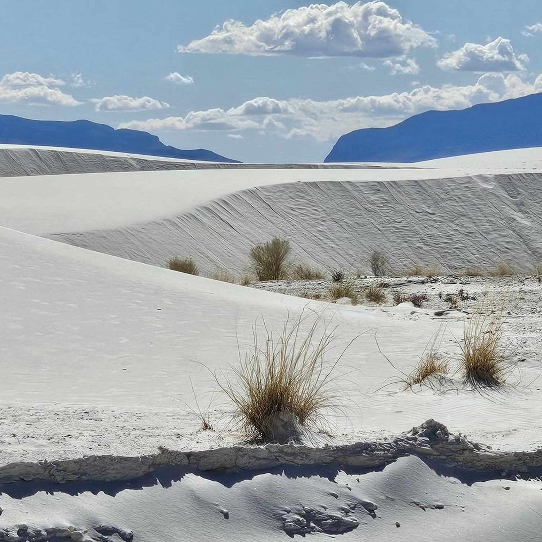
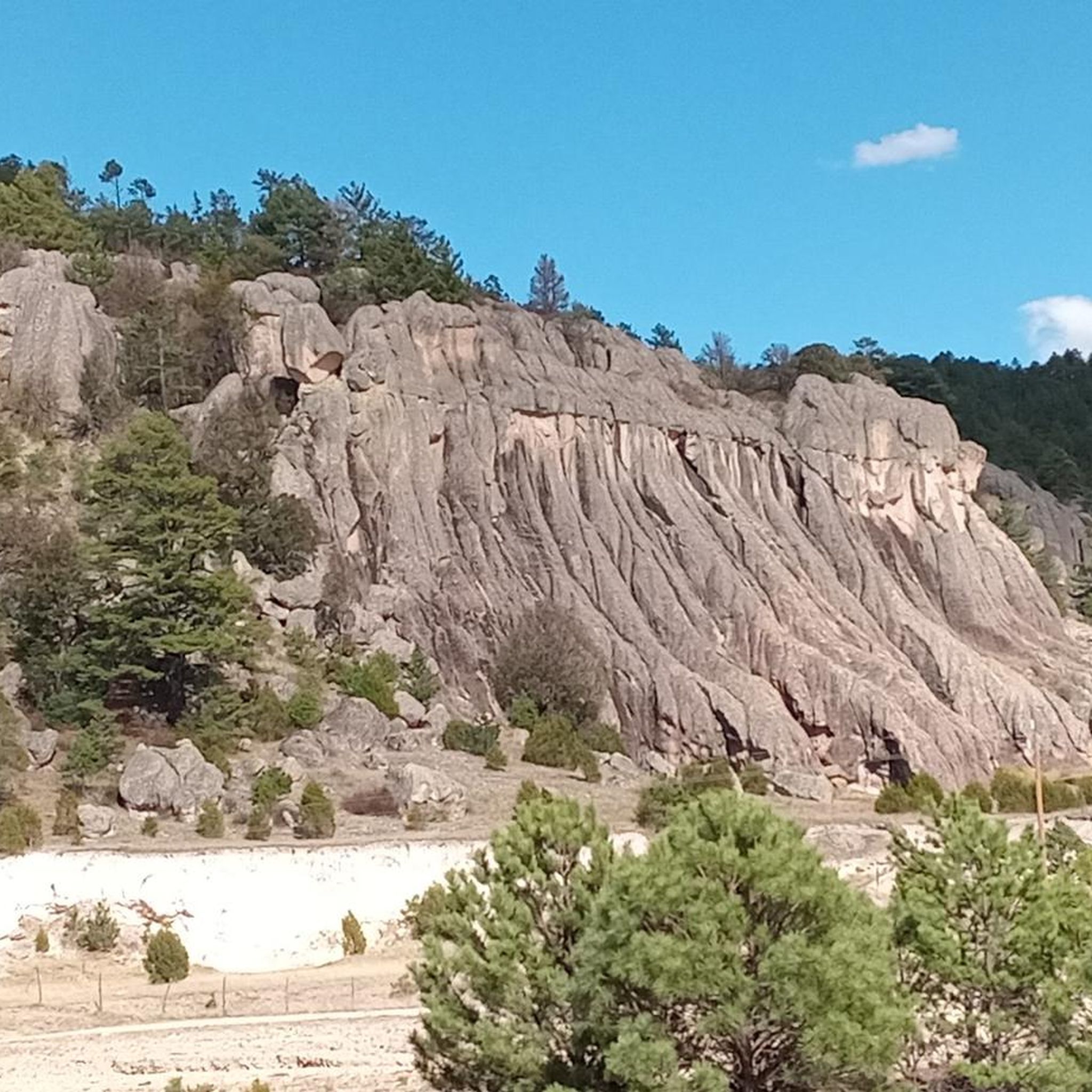
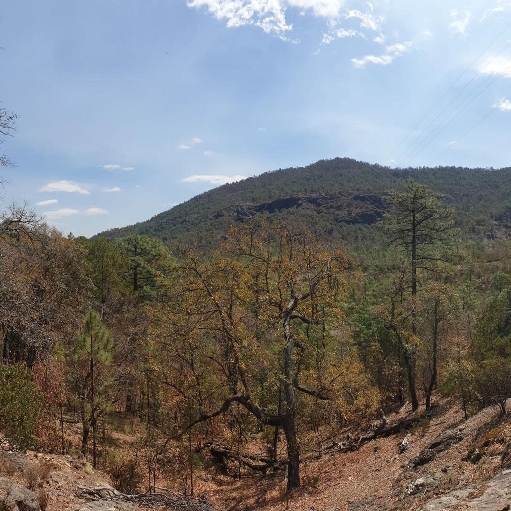
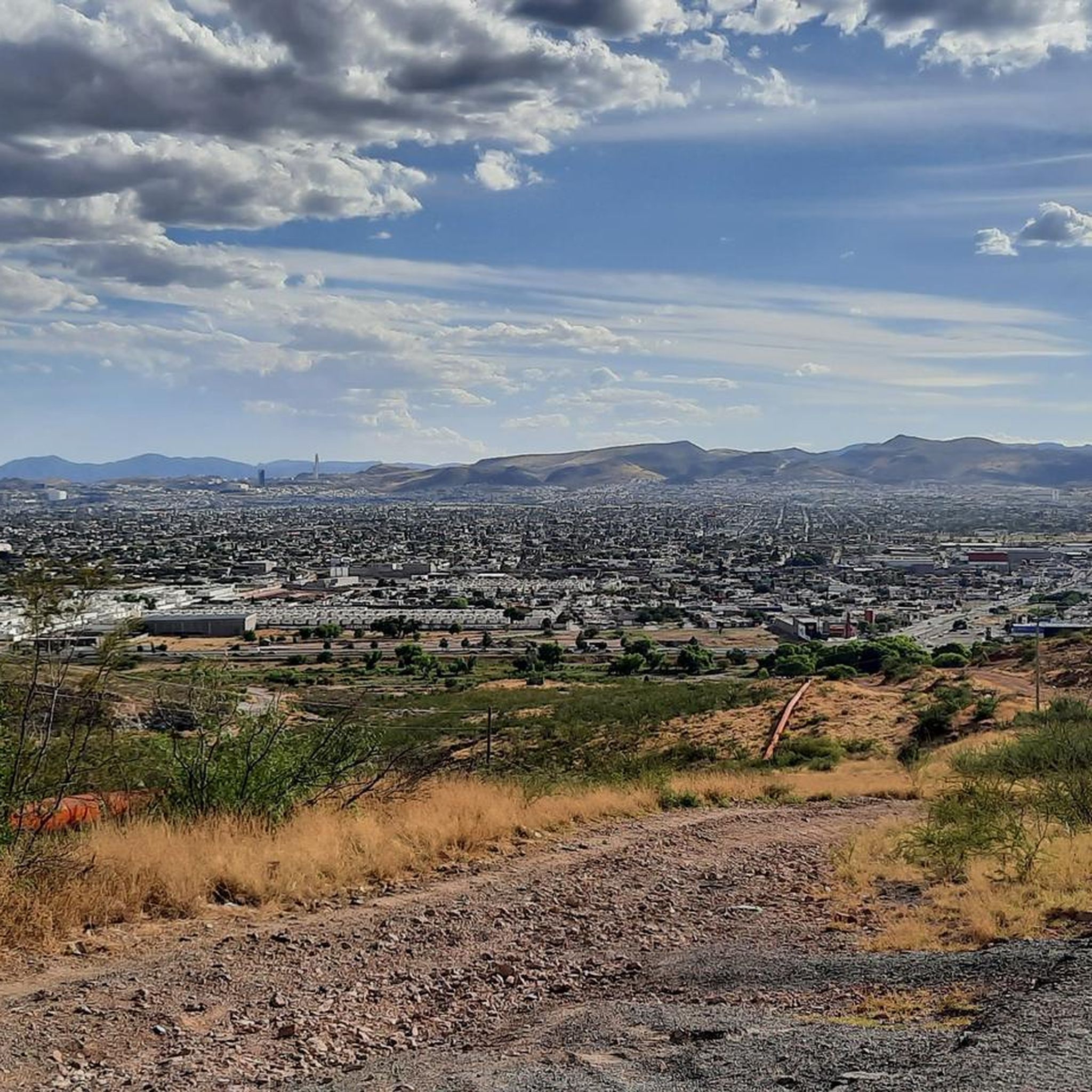
Hiking in Chihuahua offers diverse landscapes, from deep canyons to high mountain ranges and vast deserts. The region is characterized by the immense Copper Canyon system, featuring towering cliffs and lush pine forests. Hikers can explore dramatic waterfalls, rugged gorges, and unique desert ecosystems. This varied terrain provides a range of experiences for outdoor enthusiasts.
Best hiking trails in Chihuahua
- The most popular hiking route is Mount Cristo Rey Trail, a 4.7 miles (7.5 km) trail that takes 2…
Last updated: June 28, 2026
6
hikers
3.73km
01:07
180m
0m
Easy hike. Great for any fitness level. Easily-accessible paths. Suitable for all skill levels.
1
hikers
2.84km
00:43
0m
0m
Easy hike. Great for any fitness level. Easily-accessible paths. Suitable for all skill levels.

Sign up for free
5.0
(1)
20
hikers
2.28km
00:39
50m
50m
Easy hike. Great for any fitness level. Easily-accessible paths. Suitable for all skill levels.
5.0
(1)
47
hikers
7.50km
02:08
170m
170m
Moderate hike. Good fitness required. Easily-accessible paths. Suitable for all skill levels.
14
hikers
1.41km
00:21
0m
0m
Easy hike. Great for any fitness level. Easily-accessible paths. Suitable for all skill levels.
8
hikers
2.44km
00:38
20m
20m
Easy hike. Great for any fitness level. Easily-accessible paths. Suitable for all skill levels.
5.0
(5)
42
hikers
6.73km
01:45
50m
50m
Easy hike. Great for any fitness level. Easily-accessible paths. Suitable for all skill levels.
5.0
(3)
16
hikers
15.2km
05:03
690m
690m
Hard hike. Very good fitness required. Easily-accessible paths. Suitable for all skill levels.
5.0
(3)
9
hikers
5.58km
01:35
120m
120m
Easy hike. Great for any fitness level. Easily-accessible paths. Suitable for all skill levels.
3.0
(1)
4
hikers
16.7km
04:32
230m
230m
Moderate hike. Good fitness required. Easily-accessible paths. Suitable for all skill levels.
Get access to more routes and recommendations from other explorers.
Sign up for free
Already have an account?
Our route recommendations are based on thousands of hikes, rides, and runs completed by other people on komoot.
Start today with a free account
Your next adventure awaits.
Login or Signup


Other adventures in Chihuahua

Tips from the Community

There are numerous historical and spiritual landmarks along the trail, including this relief near the final switchbacks.
0
0
From the summit you can see far into Mexico, and across El Paso and southern New Mexico. The giant historic statue of Christ at the summit is both a scenic and spiritual destination.
0
0

Sierra Del Cristo Rey translates to "Mountain of Christ the King". It is a peak right on the border of Texas, New Mexico, and Mexico.
0
0
You can park by the yellow gate at the start of the trail and head up this historic and scenic trail. Because the trail is right on the US-Mexico border, hikers are encouraged to go in groups and contact the Sunland Park police department or Restoration Committee before heading out for safety reasons.
0
1
Sierra Del Cristo Rey translates to "Mountain of Christ the King". It is a peak right on the border of Texas, New Mexico, and Mexico. There is a cool statue at the top and view all along the trail. This one is smooth enough to really push the pace on the uphill and the downhill.
0
0

Dorgan-Sublett Trail leads to structures that were part of the Gran Canyon Farms operations in the early 1900s. Along the trail, visitors can read informational signage about the buildings, families, and the importance of the farm. The trail travels through desert scrub and grasses to a shaded bench, before running into a structure known as La Casita. The trail then moves up a steep hill to two more structures with informational signage. This trail offers views through the famed Window of Big Bend.
0
0
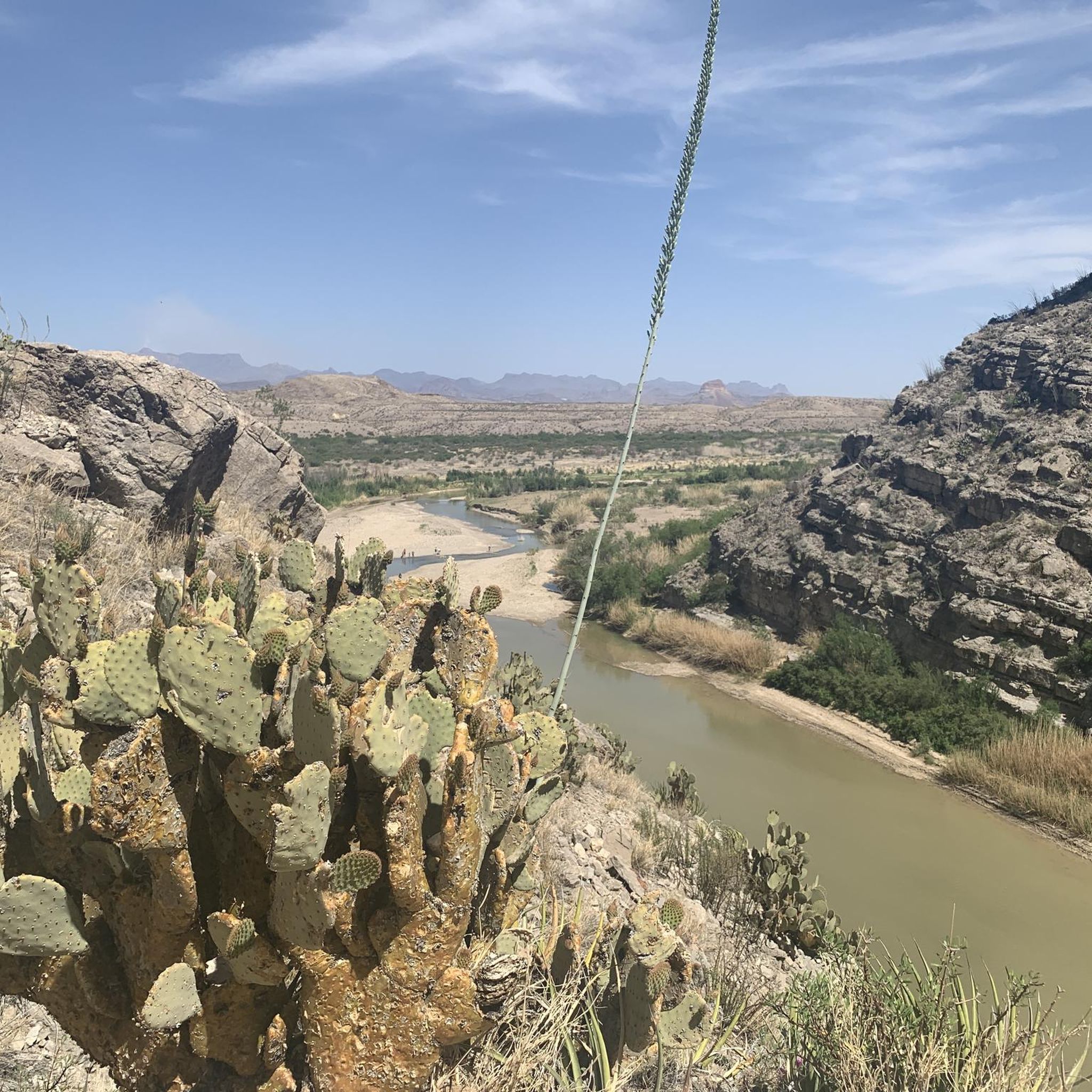
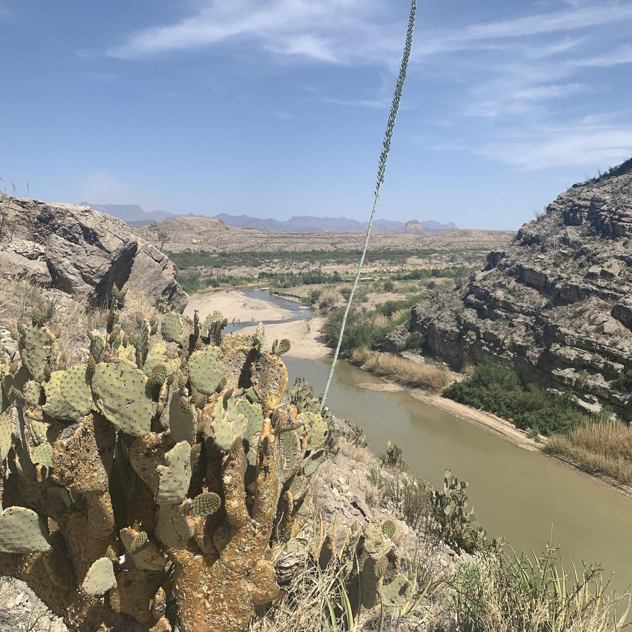
This trail leads directly into the mouth of the canyon. It follows the Rio Grande along its banks with rock stairs and a dirt path, and then along the lower parts of the rocky canyon walls. When the dirt path ends, hikers will often wade into the usually knee-high water to experience more of the canyon.
0
1
Sierra Del Cristo Rey translates to "Mountain of Christ the King". It is a peak right on the border of Texas, New Mexico, and Mexico. There is a cool statue at the top and view all along the trail. This one is smooth enough to really push the pace on the uphill and the downhill.
0
0
Frequently Asked Questions
How many hiking trails are available in Chihuahua?
Chihuahua offers a diverse range of hiking experiences with over 30 routes documented on komoot. These trails span various difficulty levels, from easy walks to challenging ascents, allowing hikers to explore the region's unique landscapes.
What kind of terrain will I encounter on Chihuahua's hiking trails?
Hikers in Chihuahua can expect incredibly diverse terrain. The region is dominated by the immense Copper Canyon system, featuring deep gorges, towering cliffs, and lush pine and oak forests. You'll also find dramatic waterfalls like Basaseachic Falls, rugged mountain ranges, and unique desert ecosystems within the Chihuahuan Desert, the largest in North America.
Are there easy hiking trails suitable for beginners or casual walkers in Chihuahua?
Yes, Chihuahua has several easy hiking trails perfect for beginners or those seeking a relaxed walk. For example, the Mount Cristo Rey Trail offers a gentle path with scenic views. Other accessible options include the Chamizal National Memorial and the Ascarate Lake Loop, both providing pleasant outdoor experiences.
Can I find trails with impressive viewpoints in Chihuahua?
Absolutely. Chihuahua is renowned for its breathtaking viewpoints, especially within the Copper Canyon. The Divisadero Overlook offers spectacular panoramic views of the canyons. For a rewarding hike, consider the Mirador loop from Creel, which winds through forests and provides expansive vistas near the Pueblo Mágico of Creel.
Are there any circular hiking routes in Chihuahua?
Yes, several circular routes are available for hikers who prefer to start and end in the same location. The Presa El Rejón loop from ESPABI is an easy option, while the Hiking loop from Posada Barrancas offers a more challenging, longer circular experience through the dramatic Copper Canyon.
What natural features or landmarks can I see while hiking in Chihuahua?
Chihuahua's trails lead to incredible natural features. You can witness the grandeur of the Copper Canyon, explore Basaseachic Falls National Park to see Mexico's second-highest waterfall, Basaseachic Falls, and the picturesque Cusárare Falls. Other notable areas include the rugged Urique Canyon and the remote Sinforosa Canyon, offering diverse landscapes and geological wonders.
Are there family-friendly hiking options in Chihuahua?
Many areas in Chihuahua offer family-friendly hiking. Trails around Creel, a Pueblo Mágico, lead to unique natural formations like those in Valle de los Monjes. The Santa Elena Canyon Trail is another accessible option that families can enjoy together, providing a taste of the region's natural beauty.
What do other hikers say about the trails in Chihuahua?
The hiking routes in Chihuahua are highly rated by the komoot community, with an average score of 4.7 stars from over 30 reviews. Hikers frequently praise the dramatic canyon views, the unique geological formations, and the opportunity to experience the region's rich biodiversity.
Are there any trails that lead to waterfalls in Chihuahua?
Yes, Chihuahua is home to stunning waterfalls accessible via hiking trails. Basaseachic Falls National Park offers trails to experience Basaseachic Falls, Mexico's second-highest waterfall. Nearby, the Cusárare Falls provides a beautiful hike through a pine forest to a picturesque cascade, perfect for a scenic outing.
What is the best time of year to go hiking in Chihuahua?
The best time to hike in Chihuahua generally depends on the specific area. The Copper Canyon region, for instance, is often most pleasant in the spring (March-May) and fall (September-November) when temperatures are milder. Summers can be hot, especially in lower canyon areas, while winters can bring cold temperatures and occasional snow to higher elevations.
Are there any challenging hikes for experienced trekkers in Chihuahua?
For experienced trekkers, Chihuahua offers several challenging routes. The Hiking loop from Posada Barrancas is a difficult trail leading through the dramatic Copper Canyon, often taking around 5 hours to complete. The remote Sinforosa Canyon also offers rugged and wild trails for those seeking a true adventure.
Can I combine hiking with other activities in Chihuahua?
Absolutely. The Copper Canyon Adventure Park at Divisadero offers activities like ziplines, an aerial tram, and a via ferrata, all set against spectacular canyon vistas. Additionally, the famous Chepe train provides a scenic way to experience the grandeur of the canyons, complementing any hiking trip.

Get inspired with the komoot mobile app


Didn’t find what you were looking for?
Check out more Hikes throughout Chihuahua below and find the perfect route in your destination.
Explore more
Browse the best Hikes in other regions.
