The best road cycling routes around Grünwalder Forst
4.6
(4795)
81,529
riders
573
rides
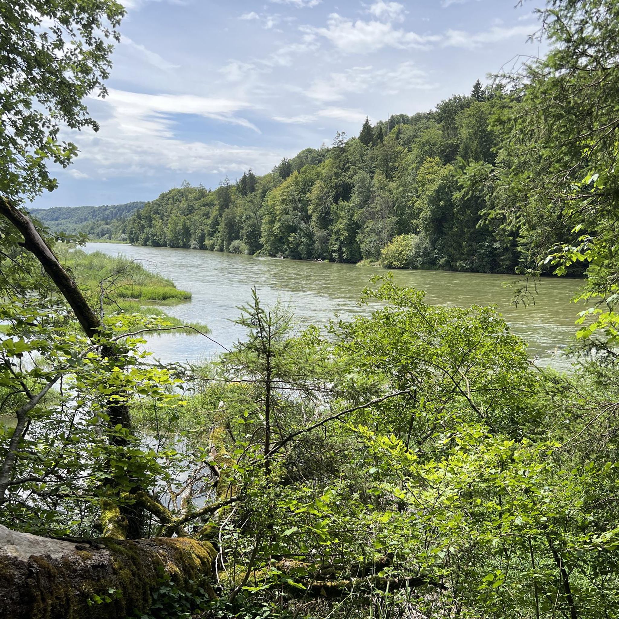
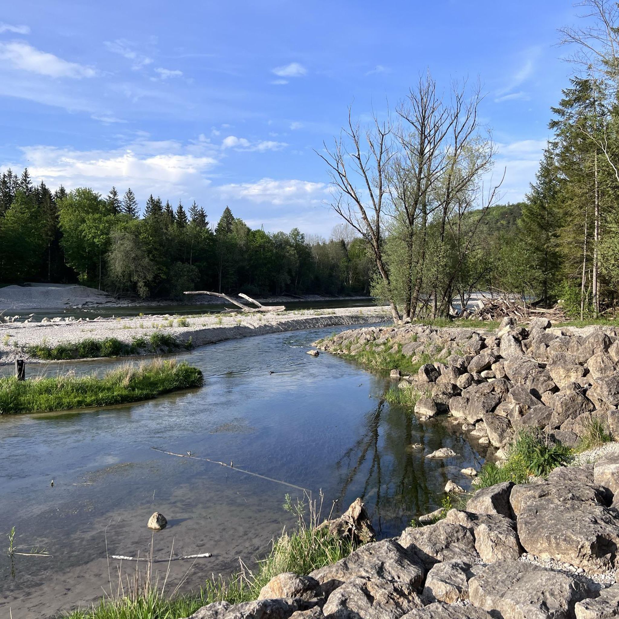
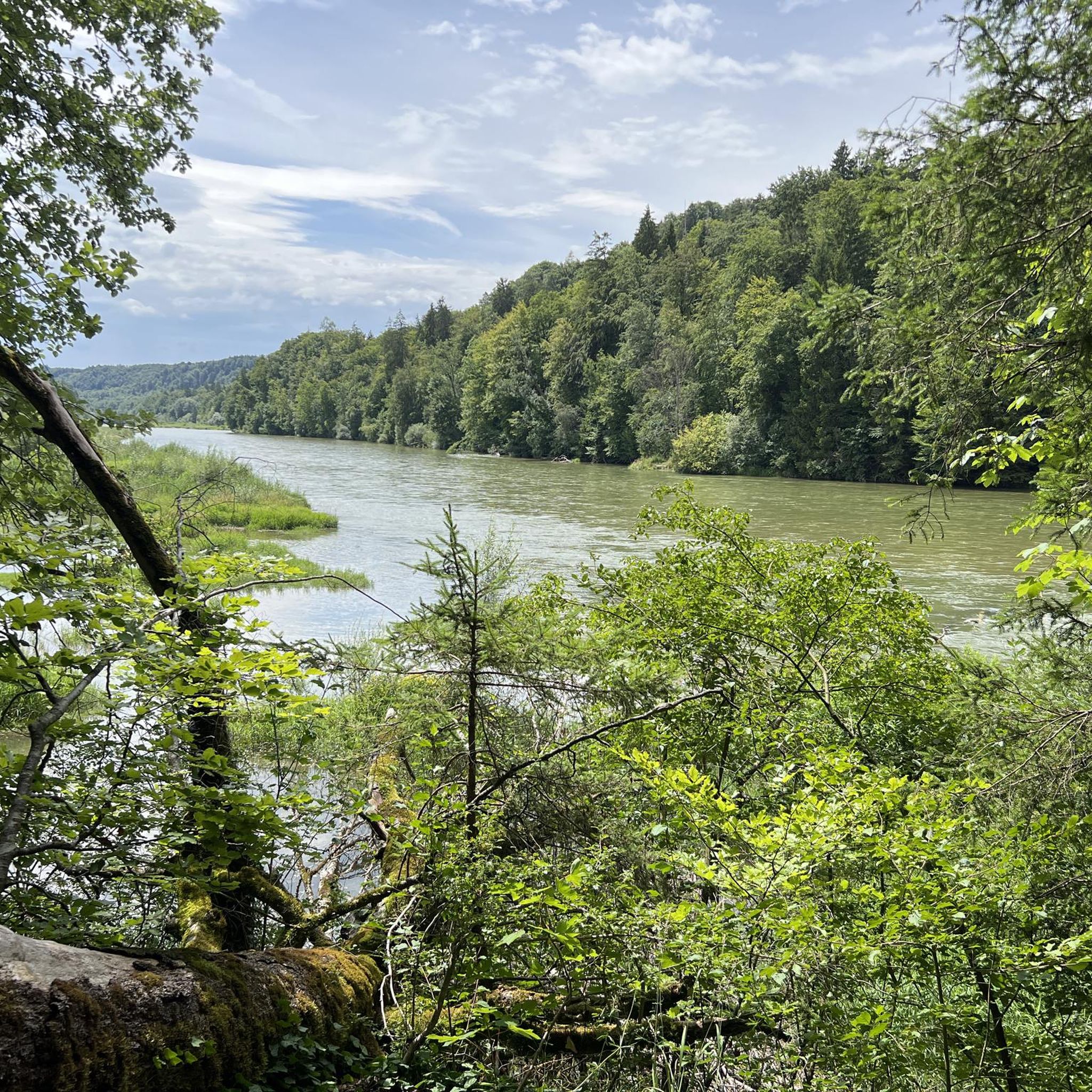
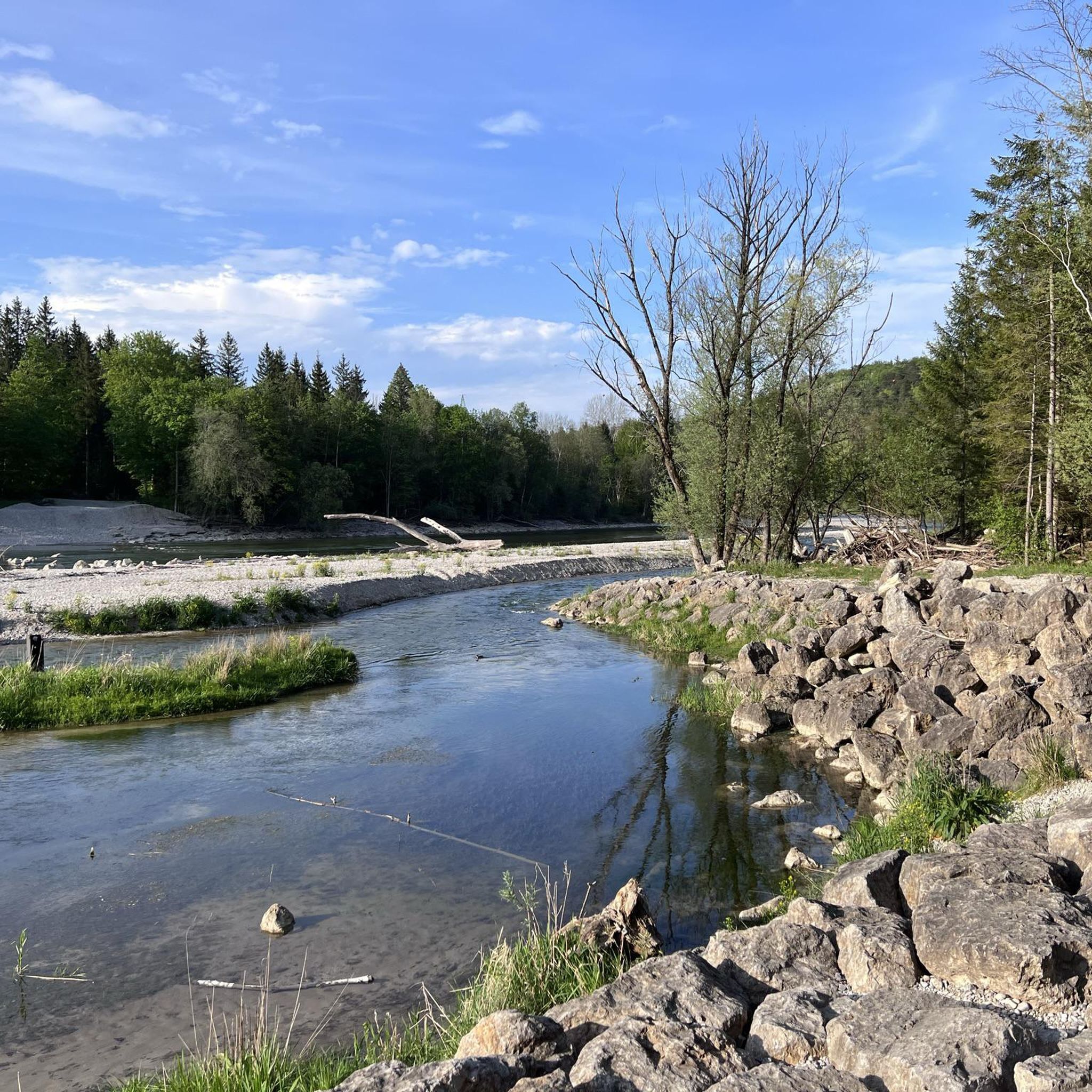
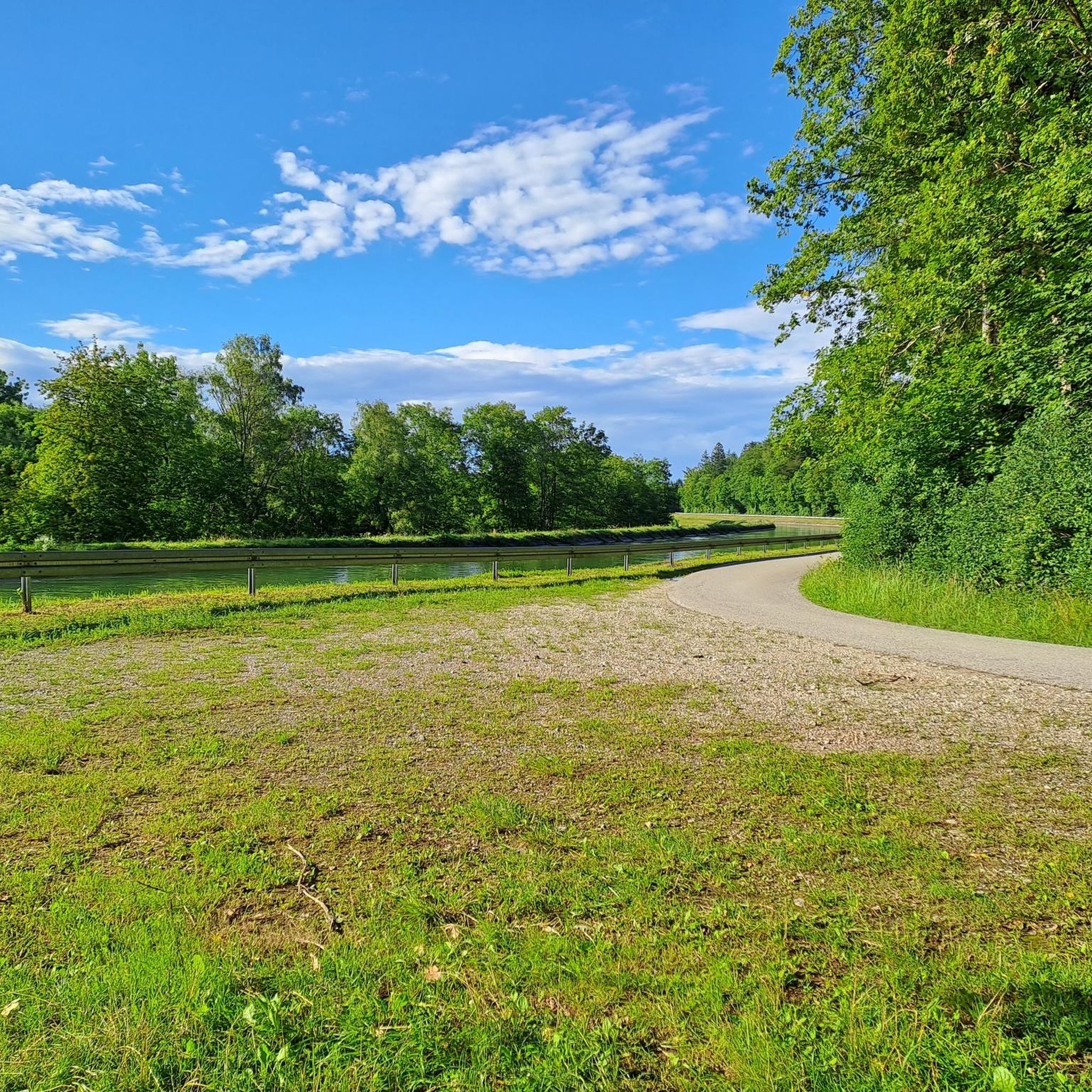
Road cycling around Grünwalder Forst features routes through dense woodlands and along river valleys, offering a mix of flat sections and gentle hills. The region is characterized by its extensive forest areas and proximity to the Isar River, providing varied terrain for road cyclists. Elevations are generally low, with most climbs under 200 meters, making it accessible for various fitness levels. The landscape primarily consists of forested paths and quiet country roads.
Best road cycling routes around Grünwalder Forst
- The…
Last updated: May 23, 2026
4.8
(8)
80
riders
37.7km
01:30
120m
120m
Easy road ride. Great for any fitness level. Mostly well-paved surfaces and easy to ride.
5.0
(2)
40
riders
55.9km
02:25
410m
410m
Moderate road ride. Good fitness required. Mostly well-paved surfaces and easy to ride.

Sign up for free
3.9
(8)
48
riders
Easy road ride. Great for any fitness level. Mostly well-paved surfaces and easy to ride.
12
riders
24.6km
01:01
150m
150m
Easy road ride. Great for any fitness level. Mostly well-paved surfaces and easy to ride.
11
riders
Moderate road ride. Good fitness required. Mostly well-paved surfaces and easy to ride.
Get access to more routes and recommendations from other explorers.
Sign up for free
Already have an account?
Our route recommendations are based on thousands of hikes, rides, and runs completed by other people on komoot.
Start today with a free account
Your next adventure awaits.
Login or Signup
Tips from the Community

It is supposedly located on the highest elevation in the Munich district!
0
0

A really cool bike path on great asphalt. The average speed can be increased here.
1
1

A beautiful bike path runs alongside Tölzerstrasse between Straßlach and the Grünwald police station. You can cycle in both directions, but not all drivers know this, and those coming from the cemetery parking lot or wanting to enter often overlook cyclists and even insult them for supposedly going the wrong way. So, be careful around the cemetery.
0
1
According to Wikipedia, the former Roman Catholic parish church now serves as a war memorial. Elsewhere, it states that it was built at the end of the 13th century and was originally called St. Peter's, before being renamed St. Peter and Paul about 100 years later.
0
0

It wouldn't be a bad idea if the speed drivers switched to the Nürburgring. It's a dangerous track for pedestrians!
2
4


Public transport in the 21st century Do it yourself 🚴♂️ 🚴♂️
1
0

A nice straight road for speeding
0
0
Frequently Asked Questions
What kind of road cycling routes can I expect in Grünwalder Forst?
Road cycling around Grünwalder Forst offers a diverse network of routes through dense woodlands and along river valleys. You'll find a mix of flat sections and gentle hills, with most climbs under 200 meters, making it accessible for various fitness levels. The landscape primarily consists of forested paths and quiet country roads.
How many road cycling routes are available in Grünwalder Forst?
There are over 560 road cycling routes available in Grünwalder Forst. This includes a wide range of options, with 141 easy routes, 352 moderate routes, and 69 more challenging routes for experienced cyclists.
Are there suitable road cycling routes for beginners or families?
Yes, Grünwalder Forst is very welcoming for beginners and families. There are 141 easy routes with gentle gradients and lower elevations. A great option is the Sauerlacher Straße – Deisenhofen railway line loop from Grünwald, which is 23.1 miles (37.2 km) and features gentle gradients through the forest.
Are there challenging routes for experienced road cyclists?
Yes, for more experienced road cyclists looking for a challenge, Grünwalder Forst offers 69 difficult routes. These routes typically feature longer distances and more significant elevation gains compared to the easier options in the region.
What scenic viewpoints or attractions can I see along the road cycling routes?
While road cycling in Grünwalder Forst, you can encounter several interesting sights. Keep an eye out for natural features like Georgenstein (St. George's Rock) and its associated viewpoint. You might also pass by the Fish Ladder at Isarstauwehr Baierbrunn or enjoy the Horn Viewpoint with Zugspitze View on some routes.
Are there many loop trails for road cycling in Grünwalder Forst?
Yes, the majority of road cycling routes in Grünwalder Forst are designed as loops, offering convenient starting and ending points. For example, the popular Pupplinger Au – Isar Canal at Pupplinger Au loop from Buchenhain provides scenic views along the Isar Canal.
When is the best time of year for road cycling in Grünwalder Forst?
The best time for road cycling in Grünwalder Forst is typically from spring through autumn, when the weather is mild and the forest paths are clear. The region's dense woodlands offer pleasant shade during warmer months, and the autumn foliage provides beautiful scenery.
Can I go road cycling in Grünwalder Forst during winter?
While some dedicated cyclists may venture out, winter road cycling in Grünwalder Forst can be challenging due to colder temperatures, potential ice, and snow on the paths. It's advisable to check local weather and trail conditions before planning a winter ride.
What do other road cyclists say about the routes in Grünwalder Forst?
The road cycling routes in Grünwalder Forst are highly rated by the komoot community, with an average score of 4.5 stars from over 4,500 reviews. More than 79,000 road cyclists have used komoot to explore the varied terrain, often praising the quiet country roads and beautiful forest scenery.
Is there public transport access to the road cycling routes in Grünwalder Forst?
Yes, several starting points for road cycling routes in Grünwalder Forst are accessible by public transport, particularly from Munich. Towns like Grünwald and Buchenhain, which serve as common starting points, have connections that can get you close to the trails.
Are there places to stop for refreshments along the routes?
Yes, the region around Grünwalder Forst has various cafes and restaurants, especially in the villages and towns bordering the forest. Many routes pass through or near these areas, offering opportunities for a break and refreshments. For instance, the Wooden fountain near Kugler Alm – St. Peter and Paul Church loop from Grünwald passes by local landmarks where such stops are often available.
What are some other popular road cycling routes in the area?
Beyond the most popular options, local road cyclists also enjoy routes like the Grünwald Castle – View of Grünwalder Castle loop from Perlacher Forst, an easy 15.3-mile (24.5 km) ride. Another favorite is the moderate Zugspitzstraße Forest Road – Former Isartal Railway Track loop from Buchenhain, covering 27.3 miles (44 km).
Most popular routes around Grünwalder Forst
Most popular attractions around Grünwalder Forst

Get inspired with the komoot mobile app


Explore more
Browse the best Road cycling routes in other regions.
