The best road cycling routes around Grünhain-Beierfeld
4.7
(374)
3,935
riders
266
rides
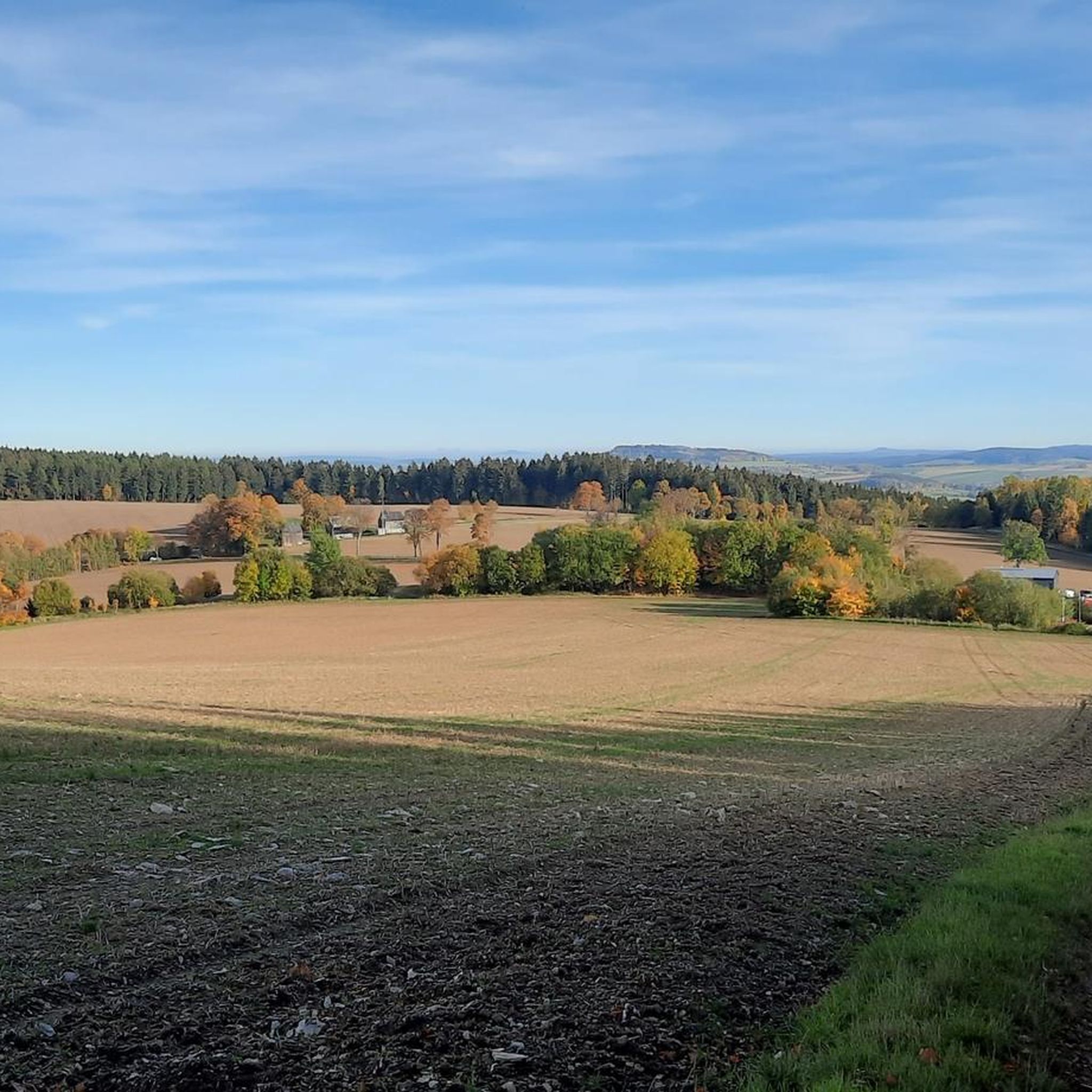
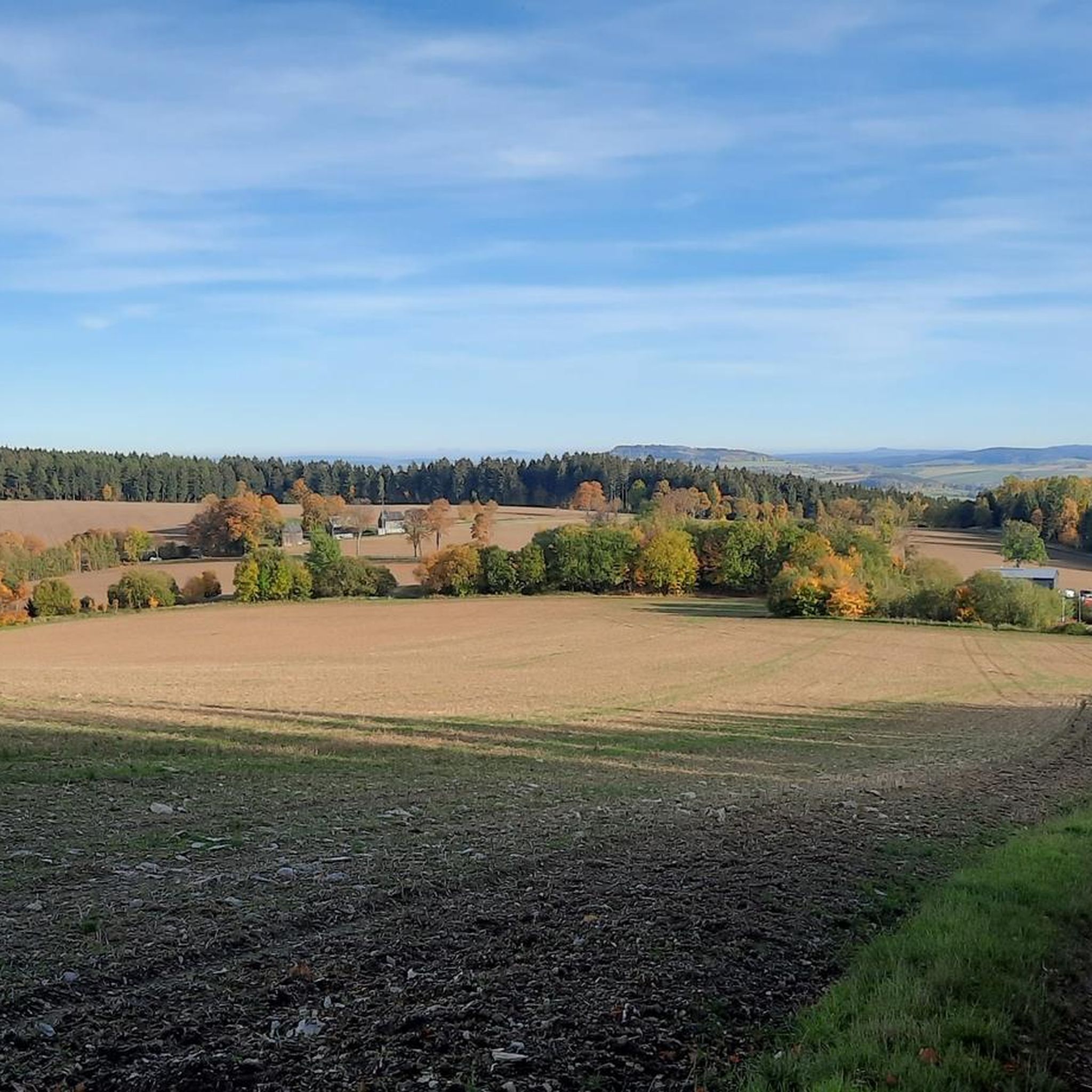
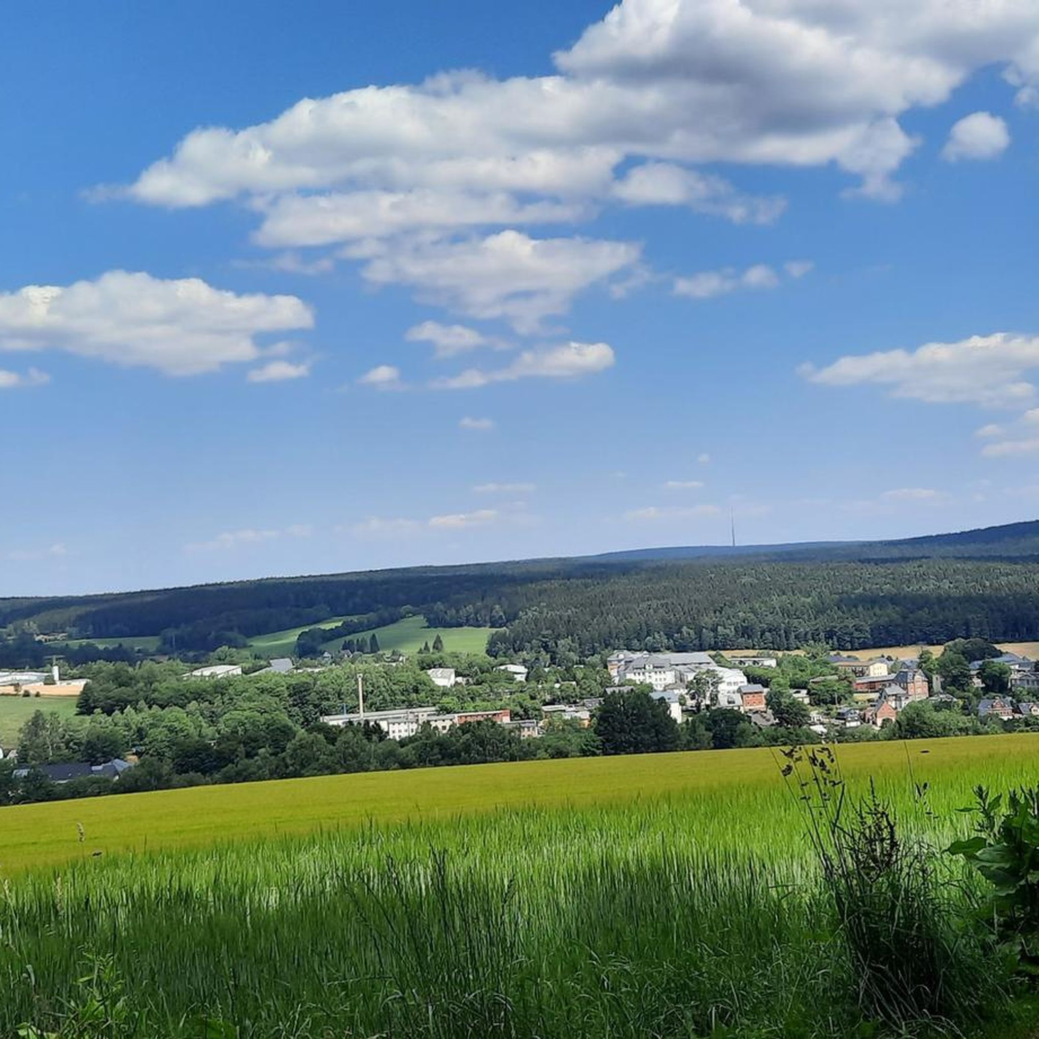
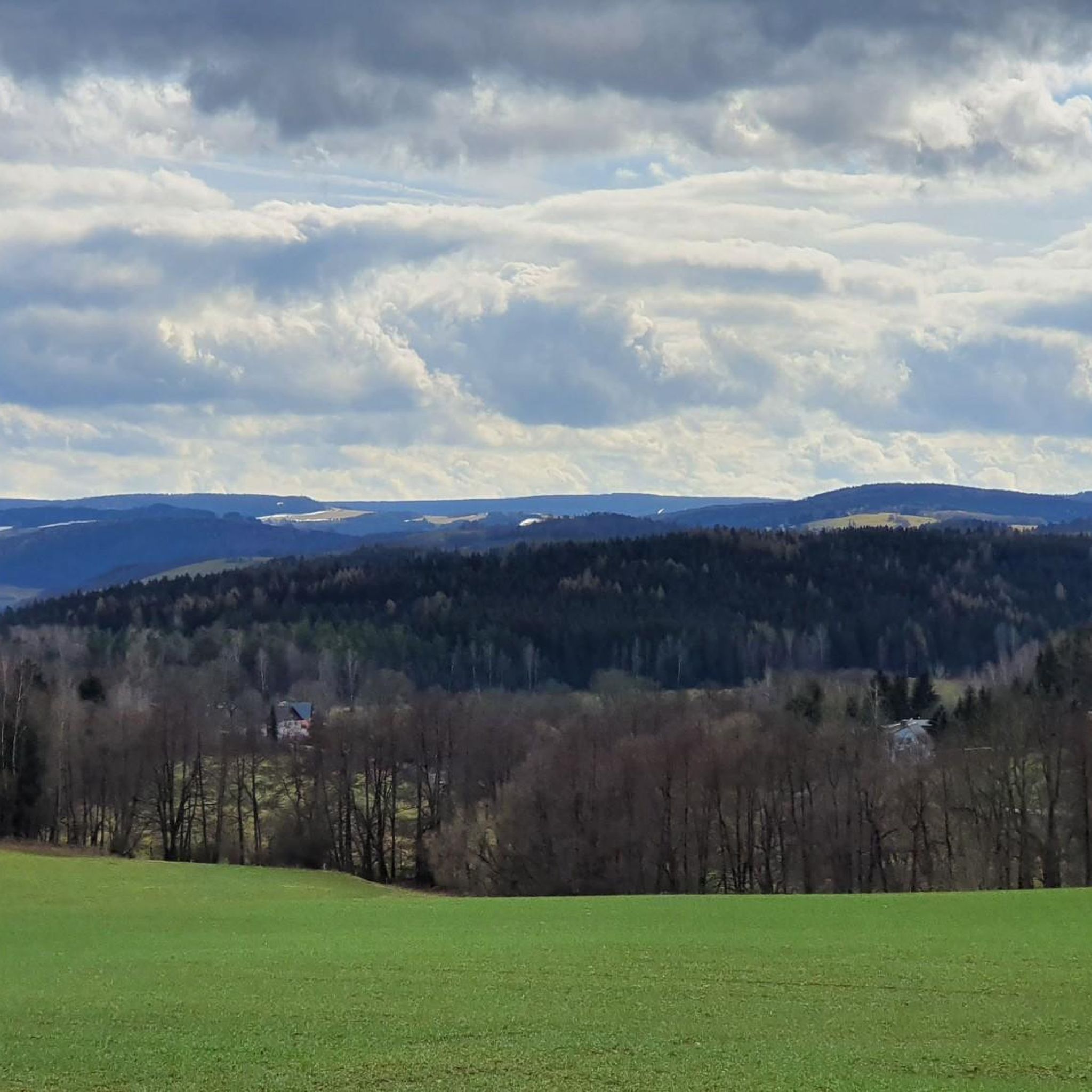
Road cycling around Grünhain-Beierfeld offers varied terrain within the western Ore Mountains (Erzgebirge) in Saxony, Germany. The region features elevations ranging from 450 to 670 meters, characterized by valleys, meadows, and extensive forests. This landscape provides a dynamic environment with well-paved roads that include both gentle and significant climbs, making it suitable for diverse cycling preferences. The area's road cycling routes often present long ascents and descents, with gradients up to 18 percent.
Best road cycling routes around Grünhain-Beierfeld
- The…
Last updated: July 1, 2026
4.3
(6)
154
riders
64.2km
03:14
1,060m
1,060m
Hard road ride. Very good fitness required. Mostly well-paved surfaces and easy to ride.
5.0
(2)
58
riders
Moderate road ride. Good fitness required. Some segments of this route may be unpaved and difficult to ride.

Sign up for free
5.0
(3)
54
riders
Moderate road ride. Good fitness required. Mostly well-paved surfaces and easy to ride.
5.0
(1)
44
riders
Moderate road ride. Good fitness required. Mostly well-paved surfaces and easy to ride.
5.0
(5)
33
riders
Moderate road ride. Good fitness required. Some segments of this route may be unpaved and difficult to ride.
Get access to more routes and recommendations from other explorers.
Sign up for free
Already have an account?
Our route recommendations are based on thousands of hikes, rides, and runs completed by other people on komoot.
Start today with a free account
Your next adventure awaits.
Login or Signup


Other adventures around Grünhain-Beierfeld

Tips from the Community

The Markersbach pumped-storage power plant is open to visitors. Guided tours lasting approximately two to two and a half hours are offered, providing insight into the power plant's engine cavern and operational procedures.
1
0

the town of Elterlein. Beautifully decorated with fountains and flowers
1
0

With every step, closer to the summit – the Fichtelberg climb on the Stoneman Miriquidi Road. From the intersection, it's not far anymore, and motivation gets a final boost.
1
0

The construction could have been avoided, as it wouldn't allow you to escape the traffic on the B101. Unfortunately, private/commercial use still takes precedence over bicycles, and so the opportunity to finally make Raschauer Weg accessible from all directions was missed.
2
0

Very beautiful, wooded area. I live here, and if anyone would like to explore the area, I'd be happy to accompany them...please contact me. Cyclist Chris
0
0

The first weather observer on this summit was the innkeeper of the Fichtelberghaus. He recorded his weather observations from 1890 onwards, but from 1898 onwards only intermittently, and from 1910 onwards not at all. The head of the Royal Saxon State Meteorological Observatory, Paul Schreiber, suggested the construction of a permanent weather observatory. Temperature, wind speed, and precipitation amounts have been continuously recorded here since January 1, 1916. The strongest storm recorded here was on January 3, 1976, with a peak gust speed of 216 kilometers per hour. The coldest day on the summit was February 9, 1956, with minus 30.4 degrees Celsius; the warmest was July 27, 1983, with plus 30.8 degrees Celsius. The highest snow cover was measured in March 1944: 3.35 meters. The year 1951 was bad for Fichtelberg tourists: it held the record for foggy days with 315.
13
1

If you're doing the Stoneman, this is your first short detour to the Czech Republic. The EU makes it easy 🇪🇺🙂
0
0

The station is located on the summit next to the Fichtelberghaus, but is not accessible.
5
0
Frequently Asked Questions
What is the general terrain like for road cycling around Grünhain-Beierfeld?
Road cycling around Grünhain-Beierfeld, nestled in the western Ore Mountains, features a dynamic landscape with elevations ranging from 450 to 670 meters. You'll encounter well-paved roads winding through lovely valleys, idyllic meadows, and extensive forests. The terrain offers a constant interplay of climbs and descents, with gradients that can reach up to 18 percent, providing a challenging yet rewarding experience.
How many road cycling routes are available in the Grünhain-Beierfeld area?
There are over 260 road cycling routes available around Grünhain-Beierfeld. These routes cater to various skill levels, including easy, moderate, and difficult options, ensuring there's something for every road cyclist.
Are there challenging road cycling routes with significant climbs in the region?
Yes, the region is known for its demanding road cycling opportunities, featuring significant climbs and long, winding ascents. For instance, the Fichtelberg Weather Station – Fichtelberg Ascent loop from Schwarzenberg/Erzgebirge is a difficult route with over 1,000 meters of elevation gain, offering a true test for serious cyclists.
Can I find easier road cycling routes suitable for beginners?
While the region is known for its challenging terrain, there are also easier options available. Out of over 260 routes, 19 are classified as easy, providing a gentler introduction to road cycling in the Ore Mountains. These routes typically feature less demanding ascents and more moderate distances.
What scenic viewpoints can I discover along road cycling routes near Grünhain-Beierfeld?
The region offers several stunning viewpoints. You can cycle towards the Scheibenberg Observation Tower and Mountain Inn or the Dr. Köhler Tower and Glöckner Inn on the Gleesberg for expansive views over the Erzgebirge. The Schwarzenberg Castle also offers picturesque surroundings.
Are there any long-distance road cycling routes in the Grünhain-Beierfeld area?
Yes, the broader Ore Mountains region, including areas accessible from Grünhain-Beierfeld, is home to challenging long-distance routes. While not directly passing through, the famous Stoneman Miriquidi Road, a 290-kilometer route with 4,900 meters of elevation gain, is accessible from various points in the surrounding regions, offering a significant long-distance challenge.
What do other road cyclists enjoy most about road cycling in Grünhain-Beierfeld?
The area is highly rated by the komoot community, with an average score of 4.6 stars from over 300 reviews. Road cyclists often praise the varied terrain, the well-paved roads through dense green forests, and the rewarding views from the numerous ascents and descents. The mix of challenging and moderate routes also contributes to its popularity.
Are there circular road bike routes available?
Yes, many of the road cycling routes around Grünhain-Beierfeld are designed as loops, allowing you to start and end at the same point. Examples include the View of the dam – Glück Auf - To the Peat Cut loop from Schwarzenberg-Neuwelt and the Elterlein–Langeberg Road – View of Scheibenberg loop from Schwarzenberg-Neuwelt, which are popular choices among local cyclists.
What historical or cultural attractions can I visit while road cycling?
Beyond the natural beauty, you can explore historical sites like the Ruins of Isenburg Castle or Schlettau Castle. The region also features unique attractions such as the Schaubergwerk "Herkules-Frisch-Glück" historic mine, offering a glimpse into the area's mining heritage.
Is Grünhain-Beierfeld suitable for family-friendly road cycling?
While many routes feature significant climbs, the presence of easier routes means families can find suitable options. The region's picturesque valleys and meadows offer a pleasant backdrop for less strenuous rides. For a diversion, the Nature and Wildlife Park Waschleithe provides a relaxed destination for a shorter, family-friendly outing.
Where can I park my car when starting a road cycling tour in Grünhain-Beierfeld?
Many road cycling routes in the Grünhain-Beierfeld area, particularly those starting from nearby towns like Schwarzenberg/Erzgebirge or Schwarzenberg-Neuwelt, offer designated parking facilities. It's advisable to check the specific route details on komoot for recommended starting points and parking information.
Are there cafes, pubs, or accommodation options along the road cycling routes?
The Ore Mountains region is well-equipped with amenities for visitors. You'll find various cafes, pubs, and guesthouses in the towns and villages along the routes, offering opportunities for refreshments and overnight stays. The 'Erlebnisheimat Erzgebirge' (Adventure Homeland Ore Mountains) ensures a well-developed infrastructure for outdoor enthusiasts.
Most popular routes around Grünhain-Beierfeld
Most popular attractions around Grünhain-Beierfeld

Get inspired with the komoot mobile app


Explore more
Browse the best Road cycling routes in other regions.
