The best road cycling routes around Grünbach
4.7
(182)
3,308
riders
224
rides
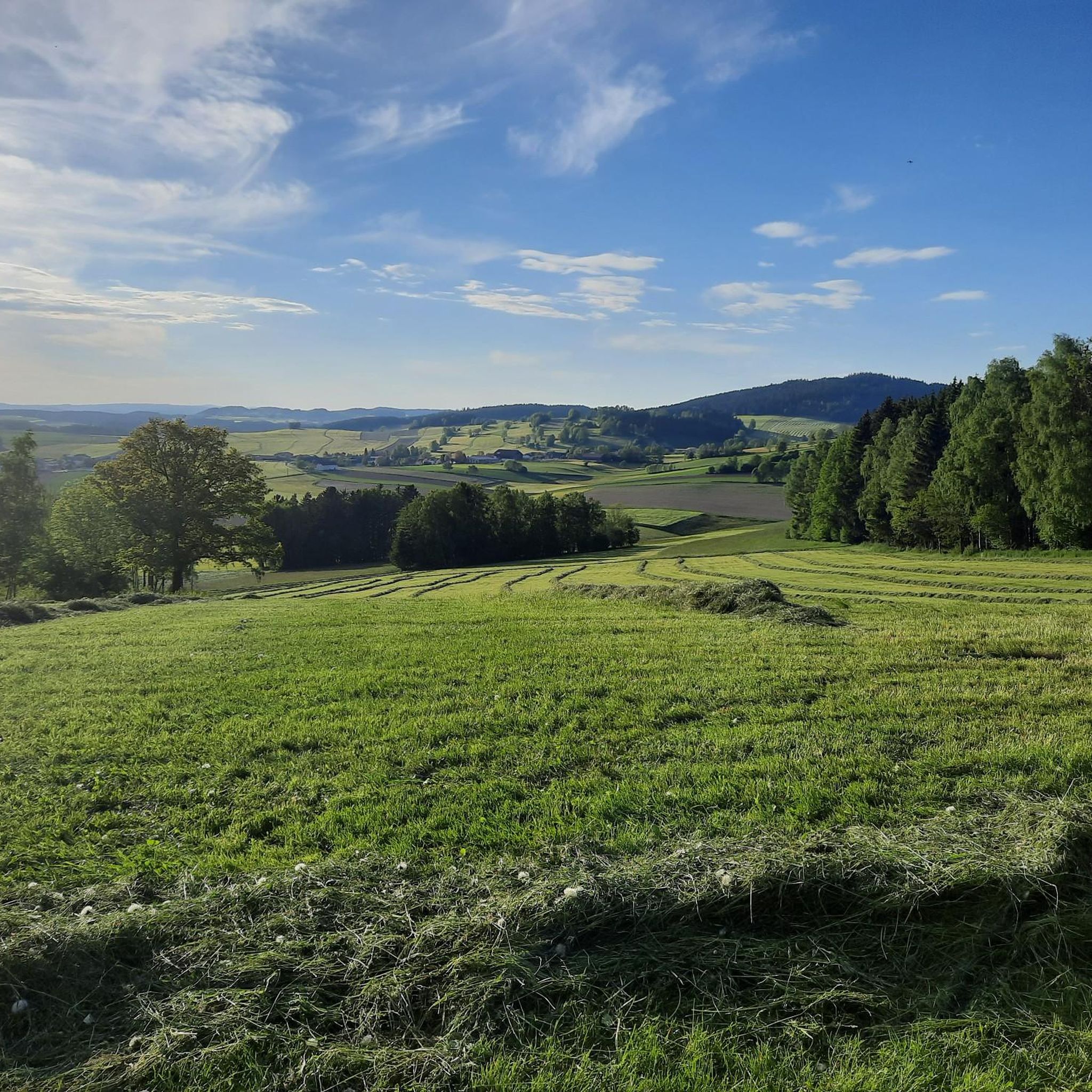
Road cycling routes around Grünbach traverse a landscape characterized by its position at the foot of the Hohe Wand and within the Schneeberg mountain range. The region features varied terrain, including lush forests, expansive meadows, and rolling hills, providing both gentle slopes and challenging ascents. This diverse topography offers a range of road cycling experiences.
Best road cycling routes around Grünbach
- The most popular road cycling route is Freistadt Castle – Ottenschlag Landscape Pond loop from Grünbach, a 33.3…
Last updated: August 25, 2026
5.0
(1)
74
riders
53.5km
02:43
860m
860m
Moderate road ride. Good fitness required. Mostly well-paved surfaces and easy to ride.
5.0
(2)
21
riders
56.7km
03:14
1,020m
1,020m
Hard road ride. Very good fitness required. Mostly well-paved surfaces and easy to ride.

Sign up for free
22
riders
52.2km
02:39
740m
740m
Moderate road ride. Good fitness required. Mostly well-paved surfaces and easy to ride.
20
riders
42.1km
01:57
490m
490m
Moderate road ride. Good fitness required. Mostly well-paved surfaces and easy to ride.
17
riders
Moderate road ride. Good fitness required. Mostly well-paved surfaces and easy to ride.
Get access to more routes and recommendations from other explorers.
Sign up for free
Already have an account?
Our route recommendations are based on thousands of hikes, rides, and runs completed by other people on komoot.
Start today with a free account
Your next adventure awaits.
Login or Signup
Tips from the Community

The town hall stands at the western end of the main square, northeast of the parish church in the town of Bad Leonfelden in the Mühlviertel region.
0
0
The parish church in Bad Leonfelden is dedicated to St. Bartholomew.
0
0
Reichenthal Parish Church, known as the "Mühlviertel Cathedral," was completed in 1984 in the Neo-Renaissance style. It is considered a masterpiece of ecclesiastical historicism in Upper Austria.
0
0

A very beautiful medieval town square. Highlights include Heini Staudinger's GEA store and the Lubinger pastry shop.
0
0

You should definitely check it out if you're here!
0
0

From the castle courtyard you can walk through the romantic Schlossgässchen to Böhmergasse
0
0

The old town with its small alleys, the beautiful town square and the castle still has a historic flair. The gardens in the surrounding moat are also very beautiful.
0
0
Frequently Asked Questions
How many road cycling routes are available around Grünbach?
Grünbach offers a comprehensive network of over 230 road cycling routes. This includes a wide variety of options, from easier rides to more challenging tours, ensuring there's something for every skill level.
What kind of terrain can I expect on road cycling routes in Grünbach?
The road cycling routes in Grünbach are characterized by varied terrain, reflecting its location at the foot of the Hohe Wand and within the Schneeberg mountain range. You'll encounter rolling hills, dense forests, expansive meadows, and both gentle slopes and challenging ascents. This diverse topography provides an engaging and picturesque cycling experience.
Are there road cycling routes suitable for beginners or families in Grünbach?
Yes, Grünbach offers routes suitable for various ability levels. While many routes feature significant elevation changes, there are 16 routes specifically categorized as easy, which can be a good starting point for beginners or families looking for a more relaxed ride. The region's varied landscape allows for both leisurely exploration and more demanding tours.
What natural features can I see while road cycling in Grünbach?
While cycling in Grünbach, you can enjoy stunning natural features such as the majestic Hohe Wand and Schneeberg mountains, lush forests, and expansive meadows. Highlights include the Großer Zeißberg Summit and the serene Rosenhof Ponds. The region also features the Feldaist Stream in the Thury Valley, offering picturesque waterside views.
Are there any historical landmarks or points of interest along the cycling routes?
Yes, beyond natural beauty, Grünbach has historical significance related to coal mining, with a local Mining Museum providing insights into the area's past. Along the routes, you might also encounter the Hussenstein Memorial, offering a glimpse into local history.
Where can I find scenic viewpoints on the road cycling routes?
The mountainous landscape around Grünbach offers numerous opportunities for scenic views. A notable viewpoint is the Hoh-Haus at Buchberg Observation Tower, which provides expansive vistas of the surrounding region. Many routes also feature rewarding distant views after challenging ascents.
Are there circular road cycling routes available in Grünbach?
Yes, many of the road cycling routes around Grünbach are designed as loops, allowing you to start and end at the same point. Examples include the popular Freistadt Castle – Ottenschlag Landscape Pond loop from Grünbach and the Schloss Waldenfels – Freistadt Town Square loop from Grünbach.
What is the best time of year for road cycling in Grünbach?
The best time for road cycling in Grünbach is generally during the warmer months, from spring to autumn. The region's natural beauty, including rhododendrons blooming around Lake Grünbachsee in June, makes these seasons particularly appealing. Always check local weather conditions before heading out, especially given the mountainous terrain.
Is parking available near the road cycling routes in Grünbach?
While specific parking locations for each route are not detailed here, Grünbach, being a hub for outdoor activities, typically offers parking facilities in and around the village, especially near trailheads or popular starting points for tours. It's advisable to check local signage upon arrival.
Can I reach the cycling routes using public transport?
Grünbach am Schneeberg is generally accessible, and public transport options may connect to the area, allowing access to various starting points for cycling routes. For detailed information on public transport schedules and stops, it's best to consult local transport providers.
Are there places to stop for refreshments or accommodation for cyclists?
The region around Grünbach, including picturesque villages, offers opportunities for cyclists to find cafes, pubs, and accommodation. These establishments cater to visitors and provide places to rest and refuel during or after your ride. The 'Bewegungsarena 5 Freunde im Schneebergland' also offers amenities, including an outdoor pool in summer.
What do other cyclists say about the road cycling routes in Grünbach?
The road cycling routes in Grünbach are highly rated by the komoot community, with an average score of 4.7 stars from over 140 reviews. More than 3000 road cyclists have explored the area, often praising the varied terrain, scenic distant views, and the mix of challenging climbs and rewarding descents through forests and meadows.
Are there any particularly challenging road cycling routes in Grünbach?
Yes, for experienced cyclists seeking a challenge, Grünbach offers several difficult routes. An example is the St. Peter Church in Freistadt – Ottenschlag Landscape Pond loop from Helbetschlag, a 56.7 km path featuring significant elevation changes and requiring good fitness. Overall, 94 routes are categorized as difficult, providing ample options for demanding tours.
Most popular routes around Grünbach
Most popular attractions around Grünbach

Get inspired with the komoot mobile app


Explore more
Browse the best Road cycling routes in other regions.
