The best walks and hikes around Großwilfersdorf
4.5
(1051)
8,079
hikers
528
hikes
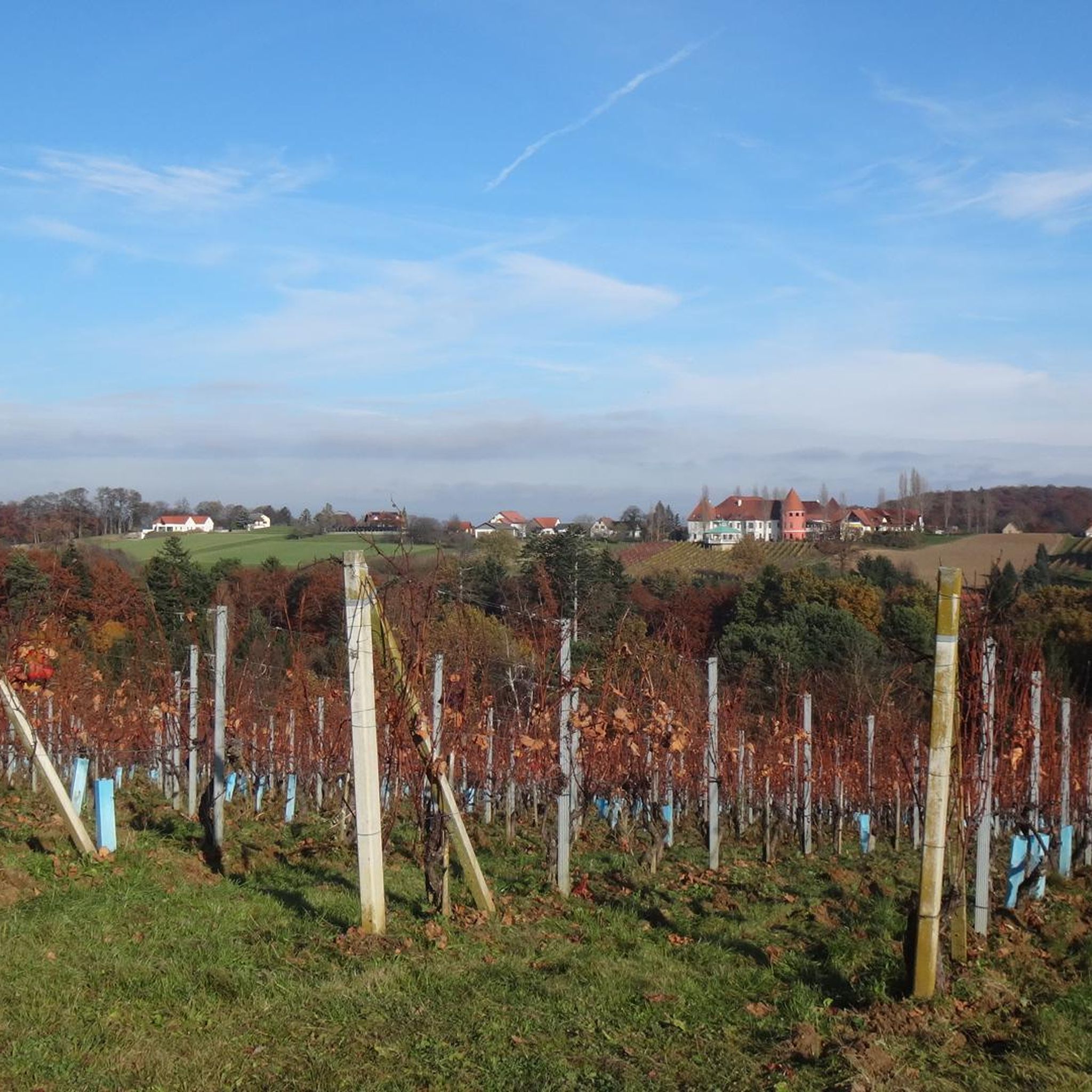
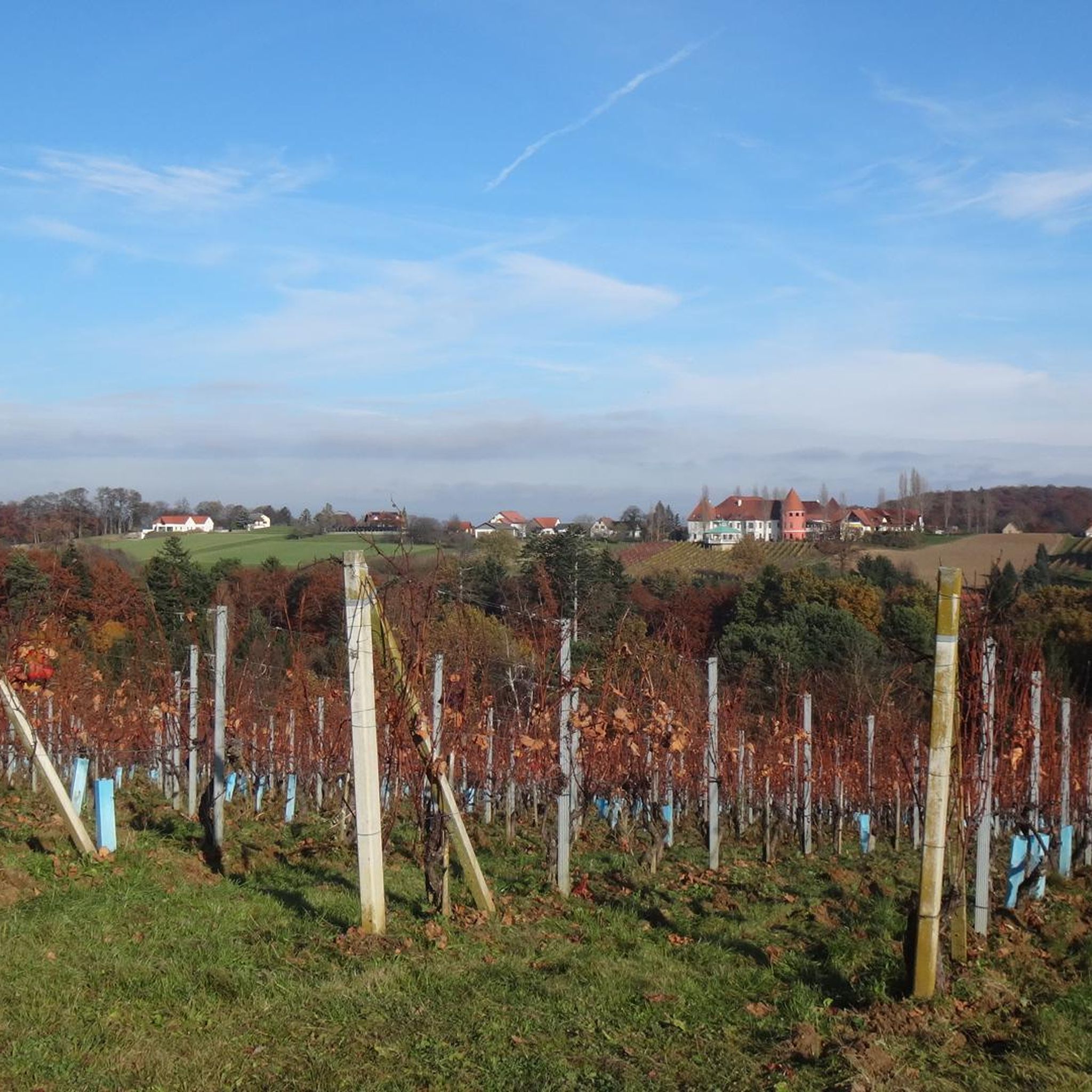
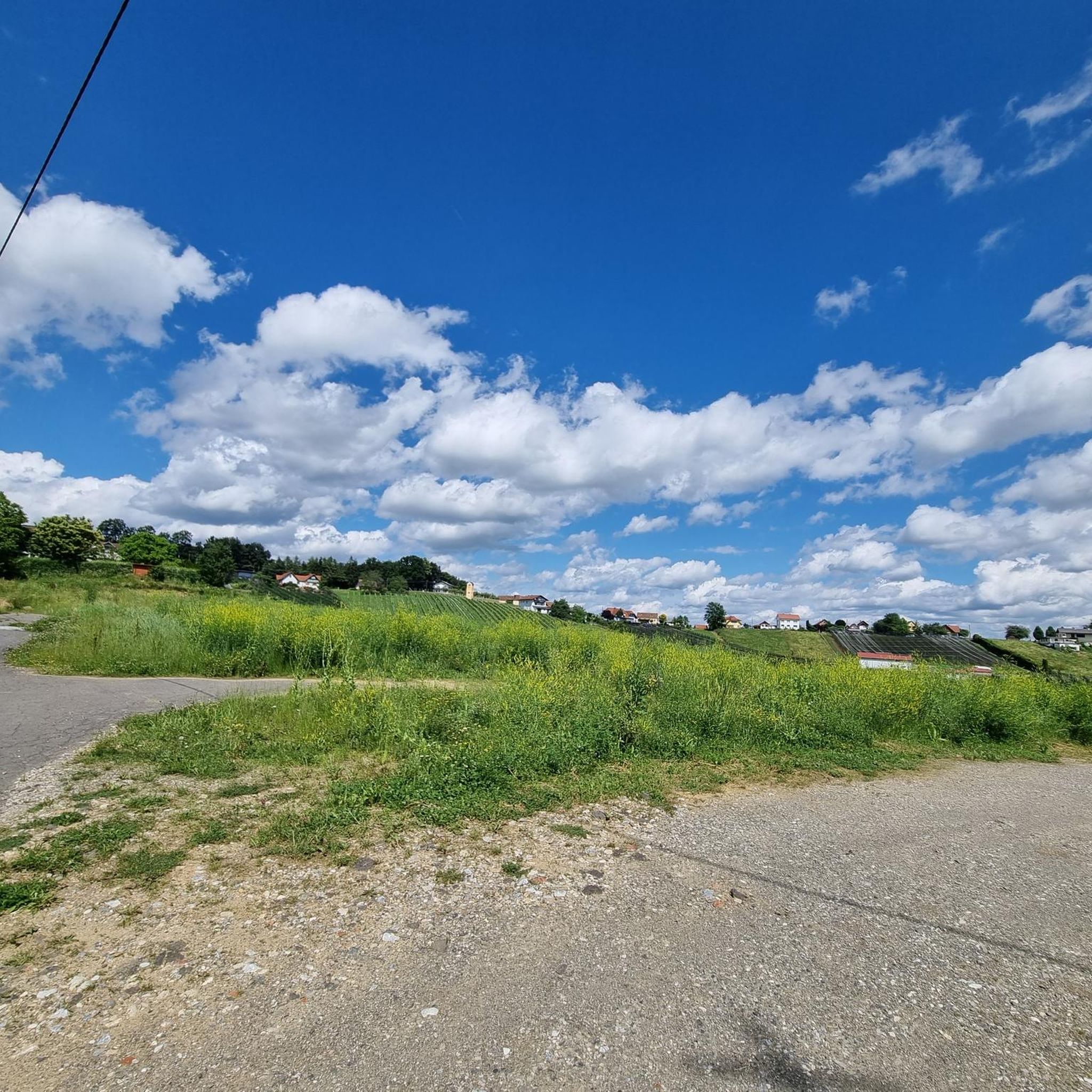
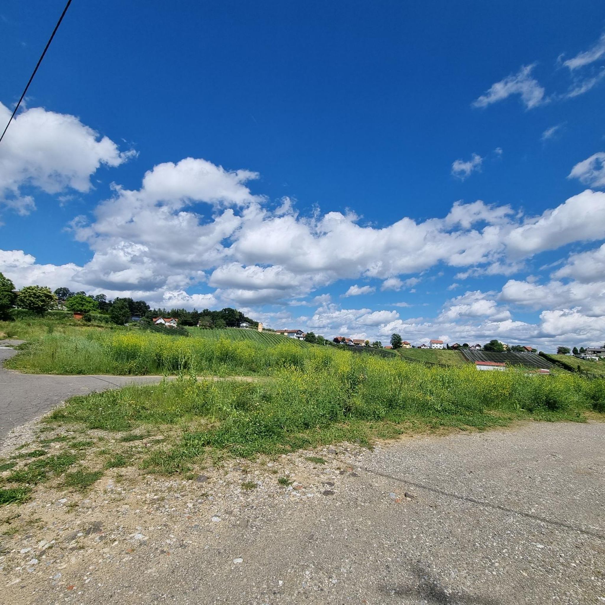
Hiking around Großwilfersdorf offers varied landscapes characterized by rolling hills and green meadows within the Pöllau Valley. The region's gentle topography provides accessible hiking trails suitable for various skill levels. Natural features include diverse flora and proximity to Lake Stubenberg, contributing to a scenic outdoor experience.
Best hiking trails around Großwilfersdorf
- The most popular hiking route is Legend Trail Fürstenfeld – Fürstenfeld loop from Altenmarkt bei Fürstenfeld, a 5.2 miles (8.3 km) trail that takes 2 hours 13 minutes…
Last updated: May 17, 2026
5.0
(2)
13
hikers
Moderate hike. Good fitness required. Mostly accessible paths. Sure-footedness required.
5.0
(1)
8
hikers
4.35km
01:06
10m
10m
Easy hike. Great for any fitness level. Easily-accessible paths. Suitable for all skill levels.

Sign up for free
4.8
(8)
11
hikers
8.60km
02:19
110m
110m
Moderate hike. Good fitness required. Easily-accessible paths. Suitable for all skill levels.
4.0
(1)
7
hikers
8.59km
02:11
30m
30m
Moderate hike. Good fitness required. Easily-accessible paths. Suitable for all skill levels.
5.0
(1)
9
hikers
Moderate hike. Good fitness required. Mostly accessible paths. Sure-footedness required.
Get access to more routes and recommendations from other explorers.
Sign up for free
Already have an account?
Our route recommendations are based on thousands of hikes, rides, and runs completed by other people on komoot.
Start today with a free account
Your next adventure awaits.
Login or Signup

Tips from the Community


We've been here quite often, and still are. Good coffee, tempting cakes, and, in summer temperatures, the beer garden is bustling with activity. We love it.
0
0
Here stands a Marian column dating from 1720.
0
0
A must-have for any sightseeing trip through Fürstenfeld City.
0
0
A truly brilliant idea from the local Beetle Club. They bolted the front end of a VW Beetle to the facade. Looks fantastic. Chapeau! There are apparently also a number of exhibits for sale right next door. So, if you're looking for something like that, just stop by here.
0
0

Located at/in the Grazer Tor.
2
0
On the outside of the gate is a relief of a double-headed eagle.
2
0
Frequently Asked Questions
What kind of hiking trails can I expect around Großwilfersdorf?
The region around Großwilfersdorf is characterized by its gentle topography, featuring rolling hills and green meadows within the picturesque Pöllau Valley. You'll find a variety of trails, from relaxed strolls to moderate excursions, suitable for different skill levels. There are over 500 hiking routes available in the area.
Are there easy hiking trails suitable for beginners or families?
Yes, Großwilfersdorf offers many easy hiking trails. Nearly 300 routes are classified as easy, making them perfect for beginners or families. An excellent option is the Kalsdorf Castle loop from Neudorf bei Ilz, an easy 7.4 km path that winds through rolling hills and green meadows.
What are the best times of year to go hiking in Großwilfersdorf?
The best seasons for hiking in Großwilfersdorf are spring and autumn. In spring, the landscapes burst with countless blooming flowers, while autumn offers a stunning display of colorful foliage. Both seasons provide comfortable temperatures and beautiful scenery, ideal for exploration.
Are there any circular hiking routes in the area?
Yes, many of the trails around Großwilfersdorf are circular, offering convenient starting and ending points. For example, the Söchau Herb Village – Herb Village Söchau loop from Söchau is a pleasant 4.4 km circular trail that takes you through areas of diverse flora.
What natural features or landmarks can I see while hiking?
Großwilfersdorf offers diverse natural beauty and historical landmarks. You can enjoy dreamlike views of the glittering Stubenbergsee (Lake Stubenberg), explore an educational fruit trail to learn about local fruit varieties, or discover impressive historical sites like Riegersburg Castle. The Legend Trail Fürstenfeld – Fürstenfeld loop from Altenmarkt bei Fürstenfeld also offers magnificent views over the surrounding valley.
What do other hikers say about the trails in Großwilfersdorf?
The hiking routes in Großwilfersdorf are highly rated by the komoot community, with an average score of 4.5 stars from nearly 1,000 reviews. Hikers often praise the varied landscapes, the well-maintained paths, and the accessibility of trails for different ability levels. Over 7,000 hikers have used komoot to explore the region's terrain.
Are there any challenging hikes for experienced hikers?
While the region is known for its gentle topography, there are a few routes that offer a more challenging experience. There are 8 trails classified as difficult, providing options for experienced hikers looking for a greater physical challenge amidst the rolling hills.
Can I find trails that lead to interesting historical sites?
Absolutely. Beyond natural beauty, the region incorporates historical attractions. You can find trails that lead to impressive sites such as Obermayerhofen Castle or the Pfeilburg Museum, adding a cultural dimension to your hiking experience.
Are there any trails that offer panoramic views?
Yes, the region is known for its scenic viewpoints. The Kalsdorf Castle loop from Ilz, for instance, provides lovely vistas as it traverses the rolling landscape. The general topography of rolling hills often allows for expansive views over the Pöllau Valley.
What is the typical length and duration of hikes in Großwilfersdorf?
Hikes in Großwilfersdorf vary in length and duration. Many routes are moderate, like the Herb Village Söchau – Söchau Herb Village loop from Söchau, which is about 8.6 km and takes around 2 hours 11 minutes. You can find shorter, easy strolls or longer, more demanding excursions depending on your preference.
Most popular attractions around Großwilfersdorf

Get inspired with the komoot mobile app


Explore more
Browse the best Hikes in other regions.
