The best walks and hikes around Großrußbach
4.6
(1227)
5,651
hikers
23
hikes
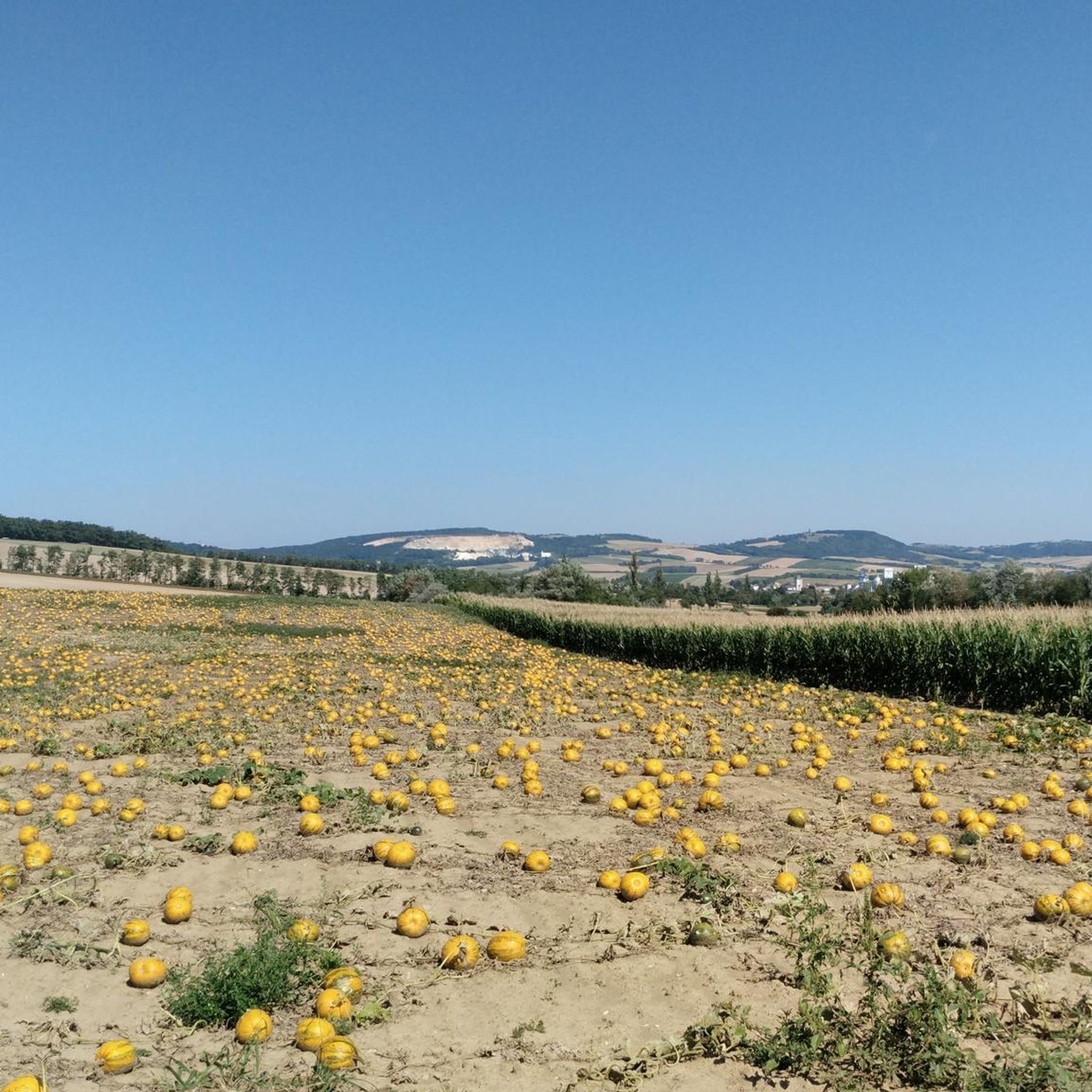
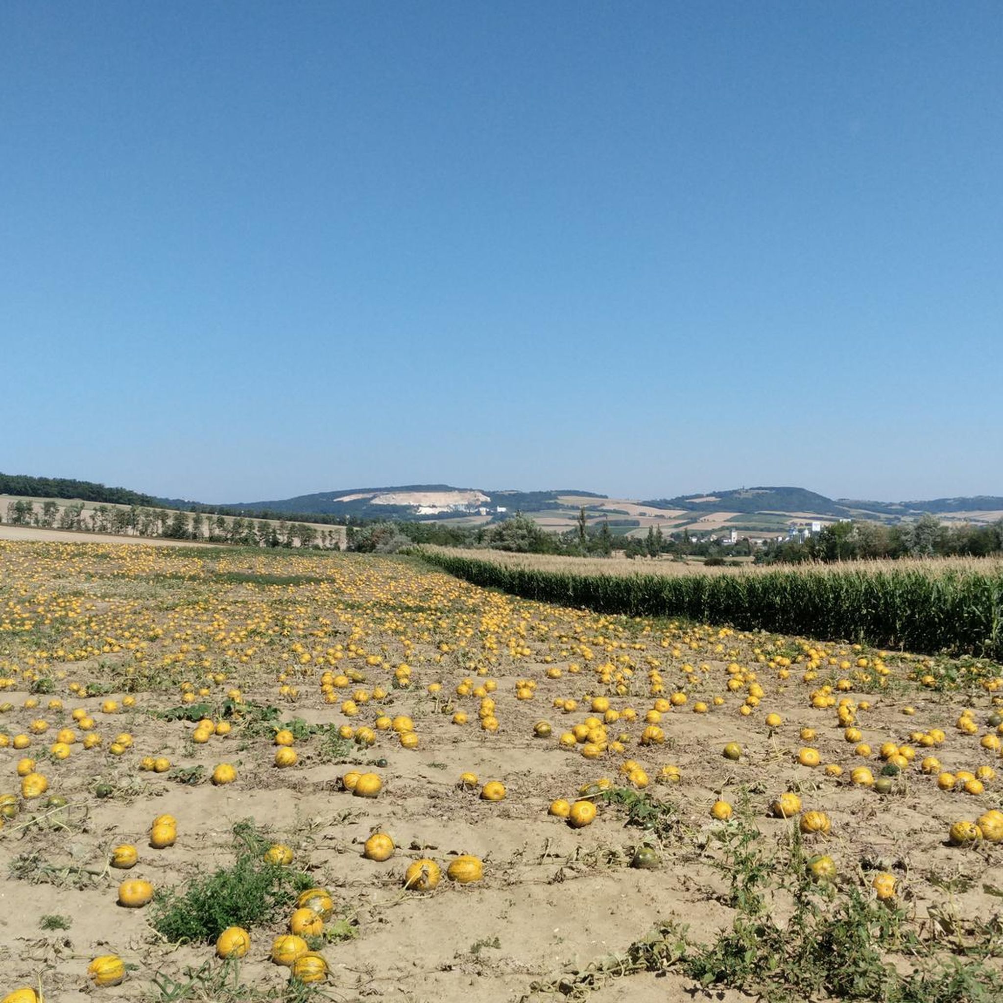
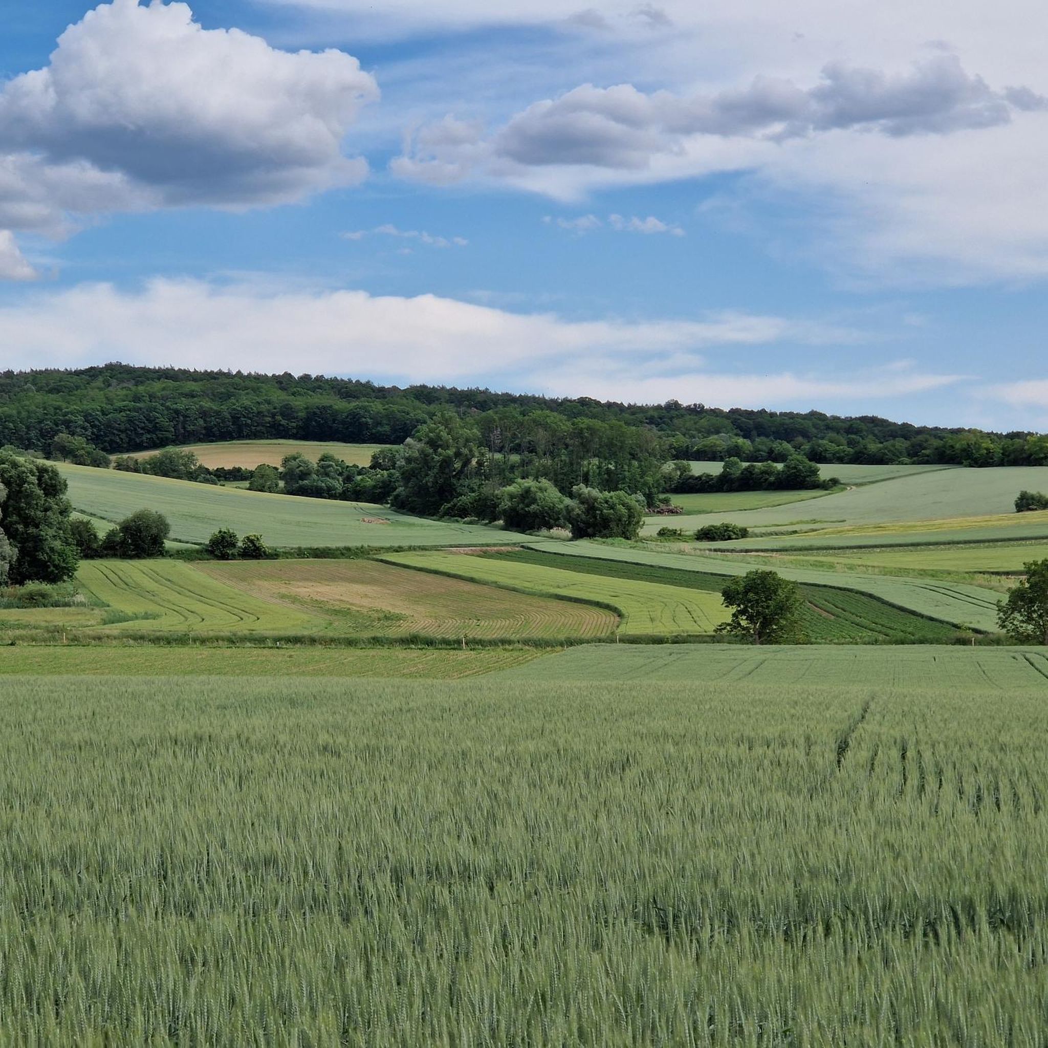
Hiking around Großrußbach offers diverse terrain within the gently rolling hills of the Weinviertel region, situated on the edge of the Vienna Woods. The landscape is characterized by romantic wine cellar lanes, expansive meadows, and wooded sections. Hikers can expect varied elevation changes suitable for different fitness levels.
Best hiking trails around Großrußbach
- The most popular hiking route is Pilgrimage Church Karnabrunn – Karnabrunn Castle loop from Karnabrunn, a 6.8 miles (10.9 km) trail that takes about 3 hours…
Last updated: August 29, 2026
4.7
(3)
12
hikers
10.5km
03:00
240m
240m
Moderate hike. Good fitness required. Easily-accessible paths. Suitable for all skill levels.
5.0
(3)
11
hikers
5.34km
01:31
120m
120m
Easy hike. Great for any fitness level. Easily-accessible paths. Suitable for all skill levels.

Sign up for free
5.0
(1)
5
hikers
5.89km
01:41
130m
130m
Easy hike. Great for any fitness level. Easily-accessible paths. Suitable for all skill levels.
4
hikers
Moderate hike. Good fitness required. Easily-accessible paths. Suitable for all skill levels.
5.0
(1)
3
hikers
7.03km
02:00
160m
170m
Moderate hike. Good fitness required. Easily-accessible paths. Suitable for all skill levels.
Get access to more routes and recommendations from other explorers.
Sign up for free
Already have an account?
Our route recommendations are based on thousands of hikes, rides, and runs completed by other people on komoot.
Start today with a free account
Your next adventure awaits.
Login or Signup
Popular around Großrußbach

Tips from the Community

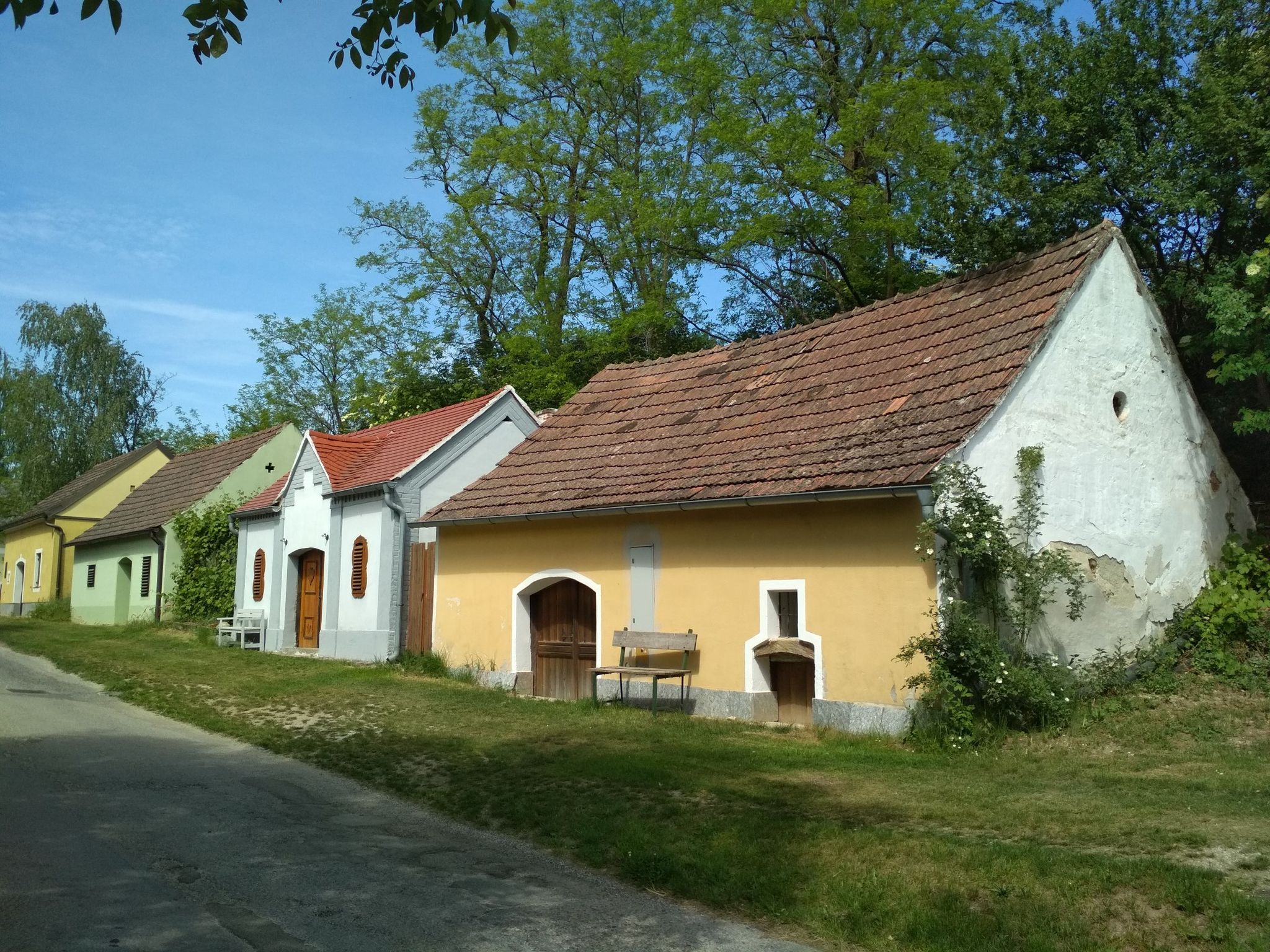
The fossil cellar is the absolute highlight in the Oberkreuzstettner Kellergasse. In painstaking manual work, several cellars were merged and fitted with brick walls and vaults. Fossil finds from the Kreuzstettner Bay (Carpathian) are exhibited in numerous niches and side cellars. Guided tours are offered here: https://fossilienkeller.at/
0
0

Beautifully designed church square.
0
1

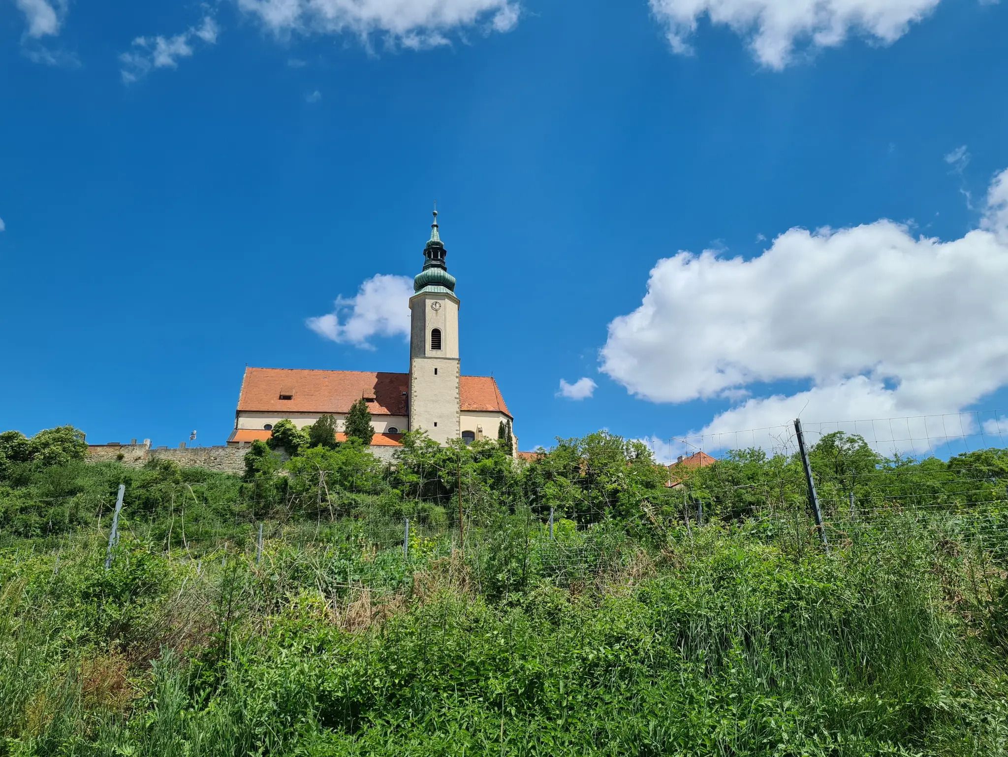
The oldest parts date from the second half of the 14th century (polygonal ending in the chancel). https://de.wikipedia.org/wiki/Pfarrkirche_Gro%C3%9Fru%C3%9Fbach
2
0

The former fortified church is a late Gothic staggered church with a south tower
0
0

Unfortunately, the imposing complex looks pretty desolate, although it seems to be inhabited. It can only be viewed from the outside as it is privately owned. The construction of the castle is documented as 1140. In the eventful history of the castle, the possession in the bloom reached over Hetzmannsdorf to Seebarn. In the 17th century, Count Julius Friedrich Buccelini came as a new owner. In his time, the complex was expanded in the Baroque style. Since 1955, the castle, which is connected to a larger farm, has been owned by the Koller family.
0
0
Wooden high cross with body. Below is an inscription: "In memory of the casualties Mr. Leopold Kaupp & Josef Schilling on November 30, 1945"
0
1

Moderately beautiful church with a grandiose approach via a steep, paved forest path.
1
0
Presumably built in the Bronze Age, a circular rampart with several concentric ramparts. More information - Archaeological educational trail: https://books.sattlegger.net/Austrommler/Archaeologischer_Lehrpfad_Schwammenhoefer_Praesentation_Web.pdf The Ochys Forest Leisure Park is located on and around the ring wall. Info: https://www.ochys.at/
0
0
Frequently Asked Questions
How many hiking trails are there around Großrußbach?
There are over 25 hiking trails around Großrußbach, offering a variety of options for different skill levels. You'll find a mix of easy and moderate routes to explore the region's diverse landscape.
What kind of terrain can I expect on hikes near Großrußbach?
Hikes near Großrußbach feature diverse terrain, including romantic wine cellar lanes, expansive meadows, and wooded sections. The region is characterized by gently rolling hills, providing varied elevation changes suitable for different fitness levels.
Are there any easy or family-friendly hiking options in Großrußbach?
Yes, Großrußbach offers several easy and family-friendly routes. For instance, the Konditorei Neubrand – Parish Church of Großrußbach loop from Großrußbach is an easy 3.3-mile (5.3 km) path that provides a pleasant walk through the village and its immediate surroundings.
Are there any notable viewpoints or landmarks to see while hiking?
Absolutely. The Buschberg Hut, located near the Buschberg Summit Cross, offers an all-round view, particularly in an east-south-west direction. The Michelberg, a popular pilgrimage site, also provides scenic views over the Weinviertel's gently rolling expanses. You can also explore historical sites like the Pilgrimage Church Karnabrunn and Karnabrunn Castle.
Are there any circular hiking routes available in Großrußbach?
Yes, many routes around Großrußbach are circular. A popular moderate option is the Pilgrimage Church Karnabrunn – Karnabrunn Castle loop from Karnabrunn, which is 6.8 miles (10.9 km) long. Another great choice is the Kellergasse Oberkreuzstetten – Parish Church of Großrußbach loop from Großrußbach, leading through wine cellar lanes and open fields.
How long do hikes around Großrußbach typically take?
Hikes around Großrußbach vary in duration. Easy loops can be completed in about 1.5 to 2 hours, while moderate routes, such as the Parish Church of Großrußbach – Konditorei Neubrand loop from Großrußbach, typically take around 2 to 3 hours. Longer routes can extend beyond 5 hours, especially those with significant elevation gain.
What are some historical or cultural sites I can explore on a hike?
Großrußbach is rich in history. You can visit the listed Catholic parish church of St. Valentin, a former fortified church, or the castle, which now serves as an education center. The Michelberg is a significant pilgrimage site with history dating back to the 9th century. The Karnabrunn Castle – Pilgrimage Church Karnabrunn loop from Karnabrunn is an easy route that takes you past these historical points of interest.
What do other hikers say about the trails in Großrußbach?
The routes in Großrußbach are highly rated by the komoot community, with an average score of 4.6 stars from over 400 reviews. Hikers often praise the picturesque wine cellar lanes, the varied terrain, and the well-maintained trails that offer options for all ability levels.
Are there any more challenging routes for experienced hikers?
While Großrußbach primarily features easy to moderate trails, some routes offer more significant elevation gain and longer distances. The Dr. Ruso Path is noted as a 'difficult' but highly recommended option that revives an old pilgrimage tradition, offering a more challenging experience for those with good fitness.
Is winter hiking possible in Großrußbach?
Yes, the region around Großrußbach is suitable for winter hiking, especially the gently rolling hills and wooded areas. The Buschberg Summit Cross is accessible year-round, offering beautiful views even in colder months. Always check local conditions and trail accessibility before heading out in winter.
What are the significant long-distance routes that pass through Großrußbach?
Großrußbach is part of several significant long-distance routes. A section of the extensive Eastern Austrian Borderland Route (Route 07) runs through the village. Additionally, Großrußbach lies at the halfway point of the Jakobsweg Weinviertel (Way of St. James), marking the end of the third-day stage for many pilgrims.
Are there any huts or places to eat along the trails?
Yes, there are places to rest and eat. The Buschberg Hut is Austria's lowest mountain shelter and a notable spot near the Buschberg Summit Cross. You can also find the Gasthaus am Michelberg, offering refreshments and meals.
Most popular routes around Großrußbach
Most popular attractions around Großrußbach

Get inspired with the komoot mobile app


Explore more
Browse the best Hikes in other regions.
