The best walks and hikes around Großrückerswalde
4.6
(335)
1,171
hikers
79
hikes
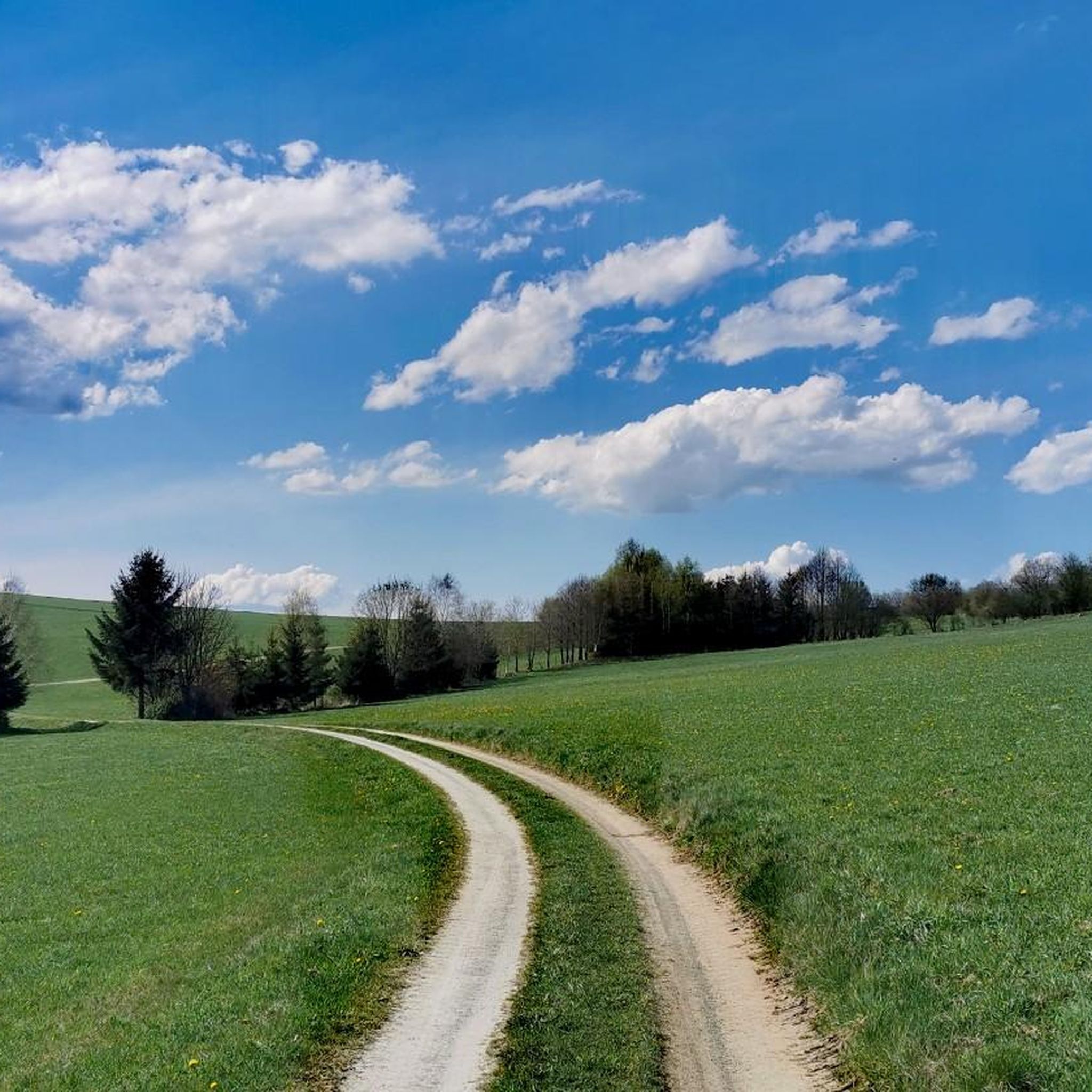
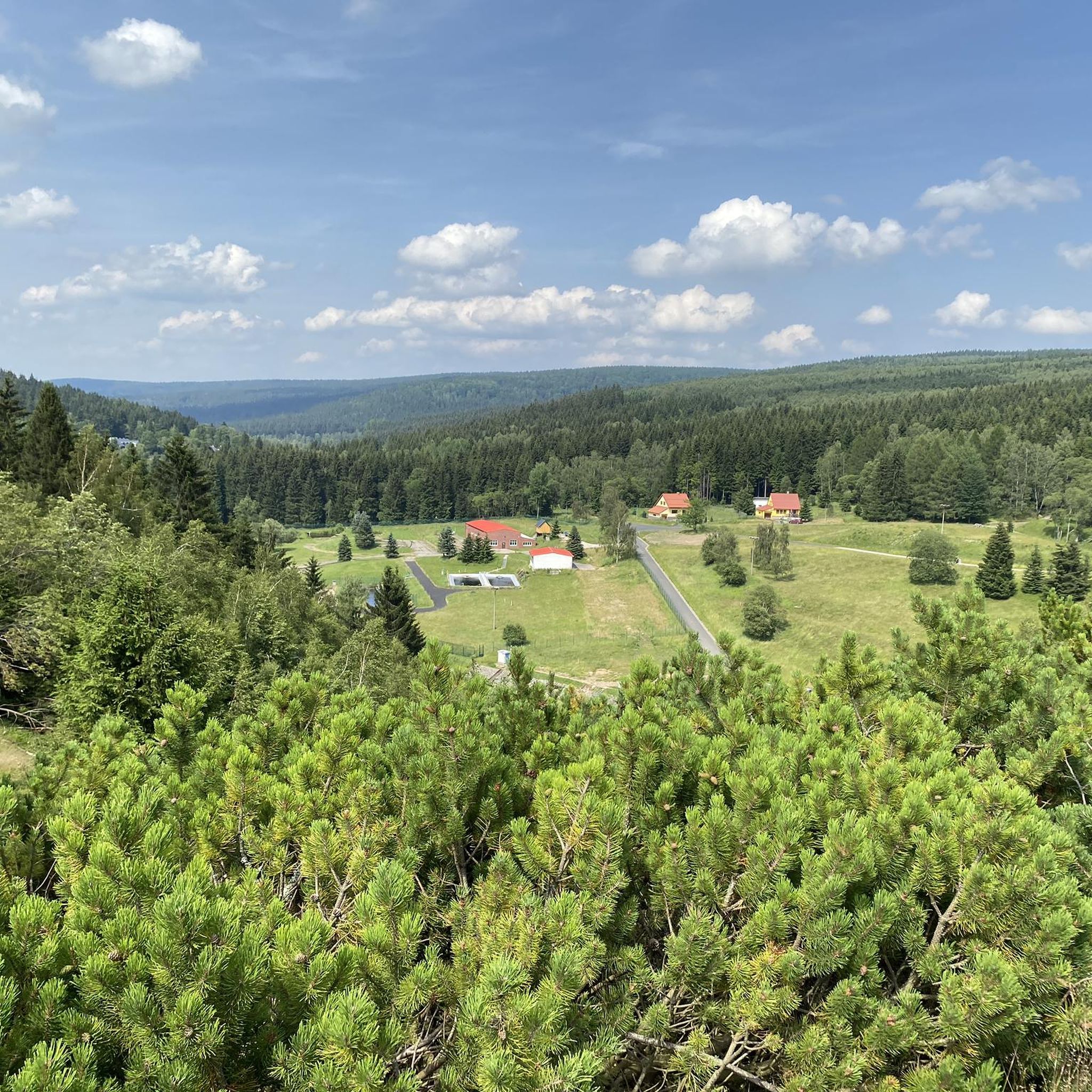
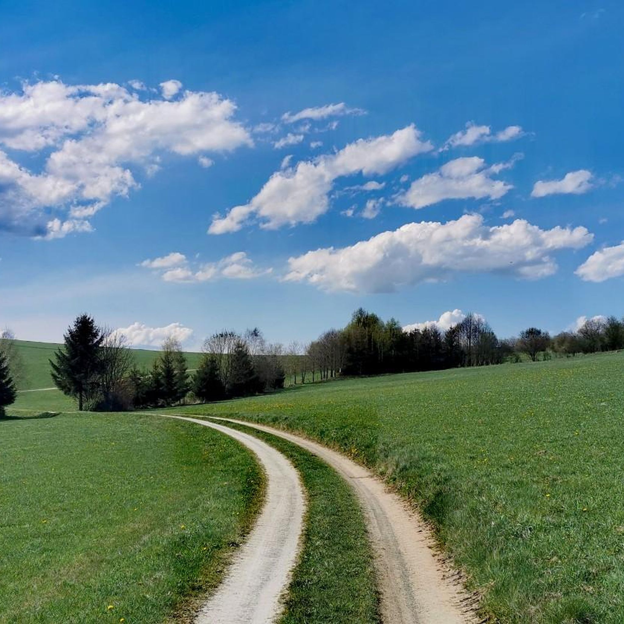
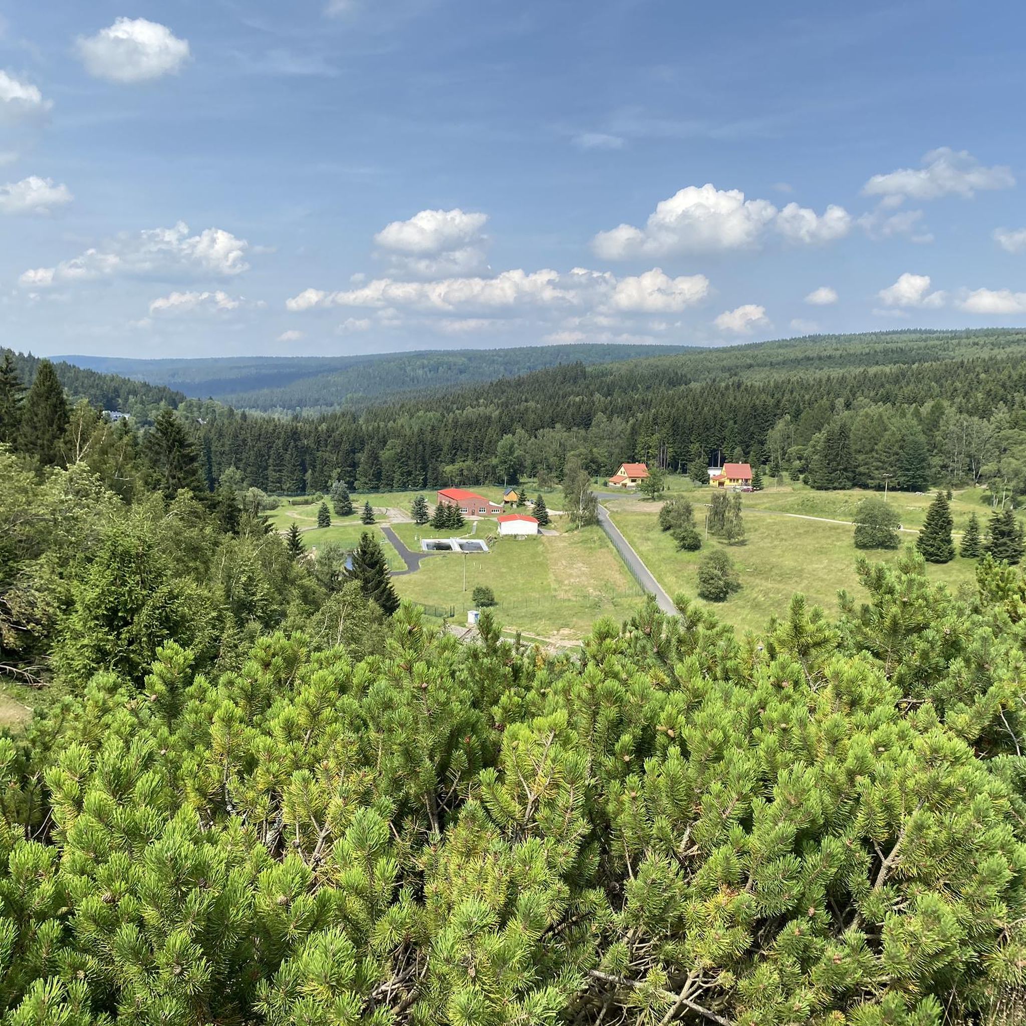
Hiking around Großrückerswalde offers diverse landscapes within the scenic Ore Mountains of Saxony, Germany. The region is characterized by picturesque river valleys like the Preßnitztal and Schwarzwassertal, featuring meandering rivers, dense forests, and expansive mountain meadows. A distinctive hedgerow landscape with strips of trees and stones between fields also defines the area, providing varied terrain for exploration. Elevated areas such as "Altes Gericht" offer panoramic views of the Ore Mountain ridge.
Best hiking trails around Großrückerswalde
- The most popular hiking route is Hohenwendel Castle – View of Himmelmühle loop from Thermalbad Wiesenbad, a 4.4 miles (7.0 km) trail that takes 1 hour 59 minutes to complete. This easy route offers views towards the Himmelmühle.
- Another top favourite among local hikers is Großrückerswalde Fish Ponds – Berghotel "Drei Brüder Höhe" loop from Großrückerswalde, a moderate 8.0 miles (12.8 km) path. This route leads past local fish ponds and ascends to the Berghotel "Drei Brüder Höhe" viewpoint.
- Local hikers also love the Erve Bridge – Hahn Bridge loop from Niederschmiedeberg, a 6.1 miles (9.8 km) trail leading through the Preßnitztal, often completed in about 2 hours 33 minutes.
- Hiking around Großrückerswalde is defined by picturesque river valleys, panoramic viewpoints, and a distinctive hedgerow landscape. The network offers options for different ability levels, from easy walks to more moderate hikes.
- The routes in Großrückerswalde are highly rated by the komoot community with an average score of 4.7 stars from over 200 reviews. More than 1000 hikers have used komoot to explore Großrückerswalde's varied terrain.
Last updated: September 30, 2026
4.6
(95)
274
hikers
7.01km
01:59
150m
160m
Easy hike. Great for any fitness level. Easily-accessible paths. Suitable for all skill levels.
4.9
(9)
45
hikers
6.15km
01:44
120m
120m
Easy hike. Great for any fitness level. Easily-accessible paths. Suitable for all skill levels.

4.5
(6)
24
hikers
Moderate hike. Good fitness required. Easily-accessible paths. Suitable for all skill levels.
4.9
(9)
43
hikers
9.82km
02:34
70m
70m
Moderate hike. Good fitness required. Easily-accessible paths. Suitable for all skill levels.
3.9
(7)
28
hikers
6.53km
01:54
180m
180m
Easy hike. Great for any fitness level. Easily-accessible paths. Suitable for all skill levels.
Get access to more routes and recommendations from other explorers.
Already have an account?
Our route recommendations are based on thousands of hikes, rides, and runs completed by other people on komoot.
Start today with a free account
Your next adventure awaits.
Tips from the Community

The Bahnhäusel was the former train station of today's OT Boden/ Großrückerswalde. The narrow-gauge railway line from Wolkenstein to Jöhstadt ran here. (https://xn--s-bahnhusel-r8a.de )
0
0

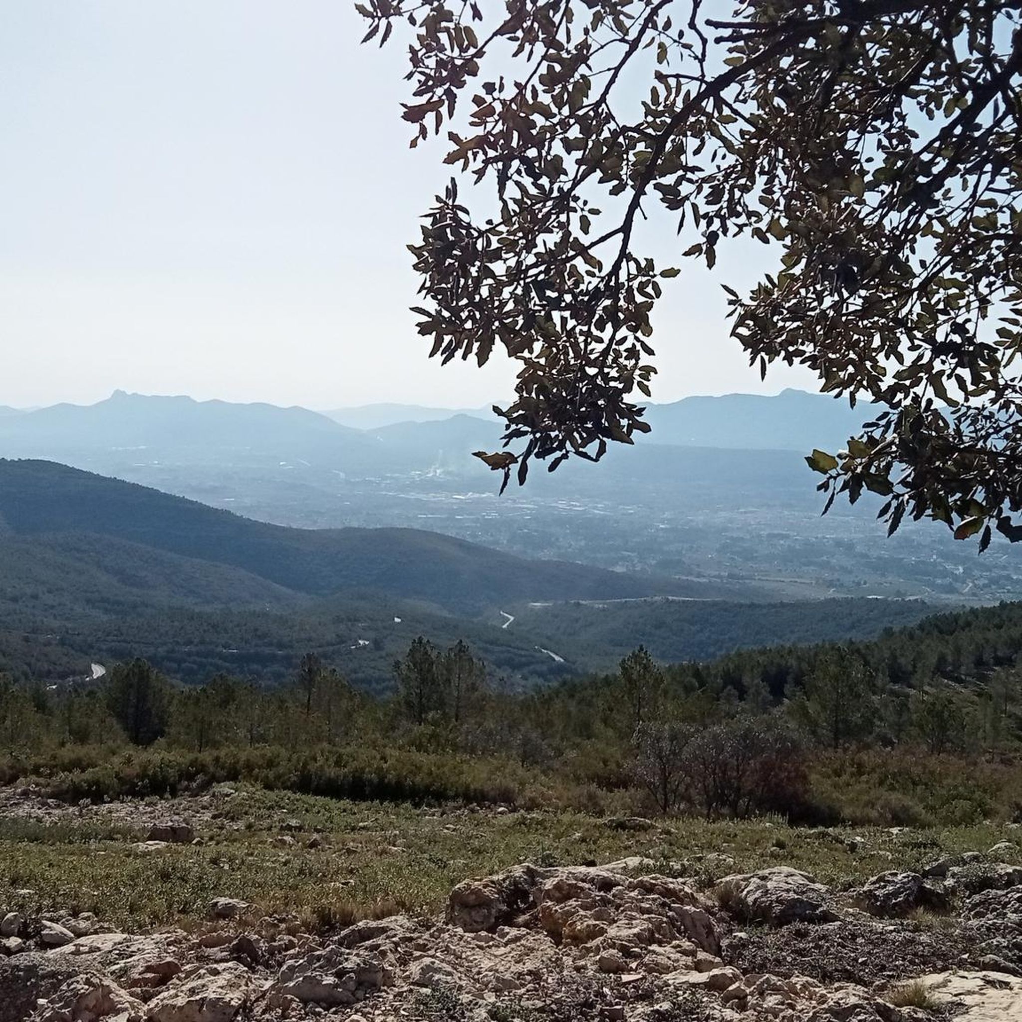
After the somewhat steeper climb out of the Sandbach valley, you've definitely earned a break right here! At the top of the 'Häd' (the Heideweg from Mauersberg), this bench awaits with a magnificent panoramic view over the landscape all the way to Großrückerswalde. Anyone who pushed a stroller or buggy up here now knows what that extra bit of leg power was good for! 💡 Family Tip: The perfect spot to unpack your picnic from your backpack! While you strengthen yourselves and enjoy the view, with a bit of luck, the children can watch the small planes at the Großrückerswalde airfield opposite taking off and landing. From here on, the path also becomes more relaxed. More authentic family tours and honest excursion tips can be found at @Wanderfamilie.Erzgebirge.
0
0
After the Höllenmühle, it becomes really idyllic here in the Sandbachtal. The path leads comfortably uphill on asphalt and offers a great animal change right at the edge of the path: it goes directly past a cow pasture. Mostly, the chances are good that the animal spectators will give the children a little motivational boost for the rest of the way! 💡 Family tip: Because the path is paved here, it rolls wonderfully relaxed on this section with a stroller and balance bike. Enjoy this cozy stretch and gather strength again, because at the end of the valley, the path up to the 'Häd' then steepens a bit and requires some leg power for pushing. More authentic family tours and honest excursion tips can be found at @Wanderfamilie.Erzgebirge.
0
0
A small section uphill from the "Höllenmühle" (Hell Mill) lies this rock, somewhat hidden at the wayside in the Sandbach valley. To be completely honest: due to the dense vegetation, it is currently no longer really 'impressive' or spectacular as the name might suggest. 💡 Family tip: It is nevertheless a nice little milestone on the route. Sure-footed children can briefly leave the paved path and scramble a bit on the rock to loosen up their legs before continuing uphill. A nice spot for a short breather! You can find more authentic family tours and honest excursion tips at @Wanderfamilie.Erzgebirge.
0
0
The cozy train station house in Boden is the perfect starting and ending point for many hikes. Normally, you can stop here wonderfully before the start or as a reward after the tour, and conveniently also take a relaxed toilet break with the children. From here, it goes directly wonderfully flat on the old railway embankment along the Preßnitz! 💡 Family tip: Definitely check the current opening hours or holiday times before your excursion (we unfortunately stood in front of closed doors). If it's open: Perfect stop! If it's closed: Just pack a picnic in your backpack, there are plenty of nice spots along the route. More authentic family tours and honest excursion tips can be found at @Wanderfamilie.Erzgebirge.
1
0

There are many cyclists on this route.
0
0

When you come from the Pressnitz valley to Großrückeswalde, you can see the mighty fortified church with the striking cross in front
1
0

A very nice corner
0
0
Frequently Asked Questions
How many hiking trails are available around Großrückerswalde?
There are over 80 hiking trails around Großrückerswalde, offering a wide range of options for different preferences and fitness levels. These include easy walks, moderate hikes, and a few more challenging routes.
What are the typical difficulty levels of hikes in this area?
The hiking trails around Großrückerswalde primarily feature easy and moderate difficulty levels. You'll find over 40 easy routes perfect for leisurely strolls, and nearly 40 moderate trails for those seeking a bit more challenge. There are also a couple of difficult routes for experienced hikers.
What makes the landscape around Großrückerswalde unique for hiking?
The region is characterized by its diverse and picturesque landscapes. Hikers can explore beautiful river valleys like the Preßnitztal and Schwarzwassertal, which feature meandering rivers, dense forests, and expansive mountain meadows. A distinctive hedgerow landscape with strips of trees and stones between fields also defines the area, showcasing its historical 'Waldhufen' village layout.
Are there any notable viewpoints along the hiking trails?
Yes, Großrückerswalde offers several excellent viewpoints. The Berghotel "Drei Brüder Höhe" provides panoramic views over the surrounding landscape and towards the peaks of the Erzgebirge, including the Czech Hassberg, Klinovec, and Fichtelberg. Other elevated areas like 'Altes Gericht' and Buchenberg bei Streckewalde also offer far-reaching vistas. You can also find the Wolkensteiner Schweiz Viewpoint and Scharfenstein Pulpit nearby.
What historical sites can be explored while hiking in Großrückerswalde?
Hikers can discover several historical sites. The Großrückerswalde Fortified Church (Wehrkirche) is a significant historical monument and one of only four remaining fortified churches in the Ore Mountains, often integrated into hiking routes. The romantic Sandbachtal is home to the Höllenmühle, a functional mill that can be visited annually. Additionally, the Markus Röhling Upper Mining House is a notable historical site in the vicinity.
Are there any picturesque valleys or natural features to discover?
Absolutely. The Preßnitztal is renowned as one of the most beautiful valleys in the Erzgebirge, offering pristine nature along the Preßnitz river. The Schwarzwassertal (Black Water Valley) is also impressive for its rich flora and fauna, with picturesque meanders and varied rock formations. You can explore the Schwarzwassertal, Greifenbach Valley, and Wolf Gorge (Wolkenstein Gorge).
Can I find circular hiking routes in the area?
Yes, Großrückerswalde offers many circular hiking routes. For example, the Großrückerswalde Fish Ponds – Berghotel "Drei Brüder Höhe" loop is a popular moderate option. Another is the Erve Bridge – Hahn Bridge loop from Niederschmiedeberg, which takes you through the Preßnitztal. Many trails are designed as loops, making them convenient for exploration.
What do other hikers say about the trails in Großrückerswalde?
The trails in Großrückerswalde are highly rated by the komoot community, with an average score of 4.7 stars from over 270 reviews. Hikers often praise the diverse scenery, well-marked paths, and the mix of forests, fields, and open areas with far-reaching views.
Are there family-friendly hiking options in Großrückerswalde?
Yes, many trails around Großrückerswalde are suitable for families. The gentle paths along the Preßnitztal, for instance, are often described as suitable for all ages. The region's diverse scenery and well-maintained paths make it enjoyable for family outings. Look for the 'easy' rated tours for the most family-friendly experiences, such as the Hohenwendel Castle – View of Himmelmühle loop.
What is the best time of year for hiking around Großrückerswalde?
The Ore Mountains offer beautiful hiking experiences throughout the year. Spring brings blooming meadows, while summer provides lush greenery. Autumn is particularly scenic with vibrant foliage and comfortable temperatures. Even winter offers opportunities for snowy walks, though some trails might require appropriate gear. The well-marked paths generally make hiking enjoyable across seasons.
Are there any places to eat or drink along the trails?
While specific pub stops vary by route, the region around Großrückerswalde and its surrounding villages offer various gastronomic options. The Berghotel "Drei Brüder Höhe" is a notable spot that can be incorporated into a hike. You can also find the Hirtsteinbaude Mountain Inn nearby, which offers refreshments.
Is it possible to reach hiking trailheads by public transport?
While Großrückerswalde itself has public transport connections, access to specific trailheads might vary. It's advisable to check local bus schedules and routes in advance to plan your journey to the starting points of your chosen hikes. Some routes might be more easily accessible by car, with designated parking areas available.
Are there any gorges or canyons to explore in the area?
Yes, the region boasts several impressive gorges and valleys. The Schwarzwassertal is a particularly beautiful gorge known for its rich flora and fauna. Other notable areas include the Greifenbach Valley and the Wolf Gorge (Wolkenstein Gorge), offering dramatic natural scenery for hikers.
Most popular routes around Großrückerswalde
Most popular attractions around Großrückerswalde

Get inspired with the komoot mobile app


Explore more
Browse the best Hikes in other regions.
