The best road cycling routes around Großolbersdorf
4.6
(432)
4,581
riders
262
rides
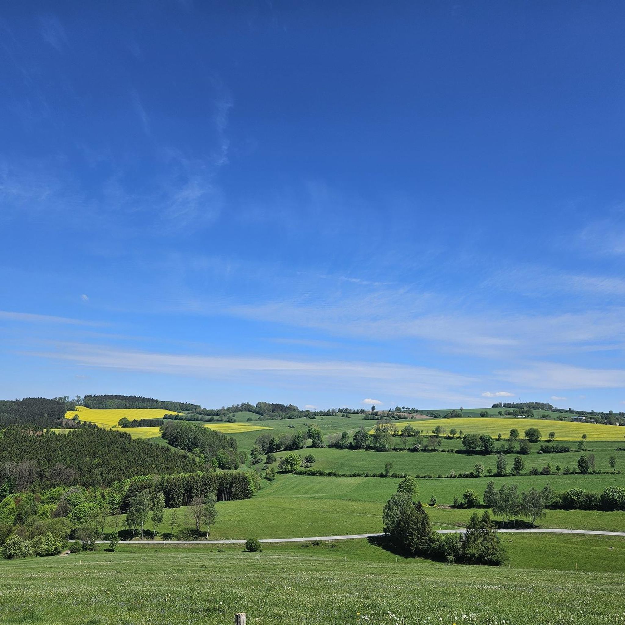
Road cycling routes around Großolbersdorf are set within the hilly and mountainous topography of the Ore Mountains (Erzgebirge) in Germany. The region features extensive forested areas and river valleys, such as the Zschopautal, providing varied terrain for road cyclists. Routes often include significant elevation changes, offering both challenging ascents and descents. This landscape provides a diverse environment for road cycling, ranging from moderate to difficult paths.
Best road cycling routes around Großolbersdorf
- The most popular road cycling route is Gornsdorf…
Last updated: June 26, 2026
4.6
(5)
44
riders
54.0km
02:47
930m
930m
Hard road ride. Very good fitness required. Mostly well-paved surfaces and easy to ride.
5.0
(2)
43
riders
68.5km
03:22
950m
950m
Hard road ride. Very good fitness required. Mostly well-paved surfaces and easy to ride.

Sign up for free
21
riders
50.3km
02:34
770m
770m
Moderate road ride. Good fitness required. Mostly well-paved surfaces and easy to ride.
5.0
(1)
13
riders
63.7km
03:09
970m
970m
Hard road ride. Very good fitness required. Mostly well-paved surfaces and easy to ride.
11
riders
28.0km
01:36
420m
420m
Moderate road ride. Good fitness required. Some segments of this route may be unpaved and difficult to ride.
Get access to more routes and recommendations from other explorers.
Sign up for free
Already have an account?
Our route recommendations are based on thousands of hikes, rides, and runs completed by other people on komoot.
Start today with a free account
Your next adventure awaits.
Login or Signup

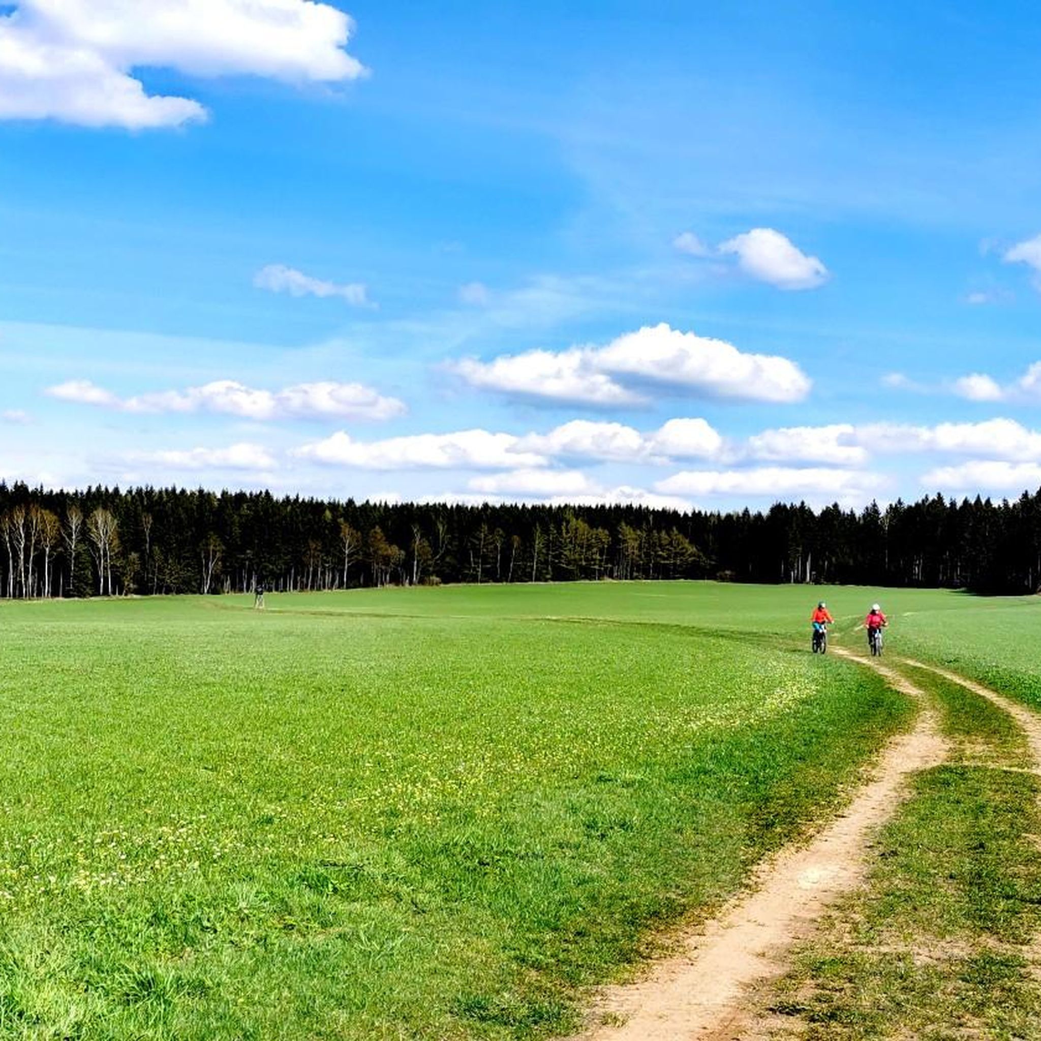
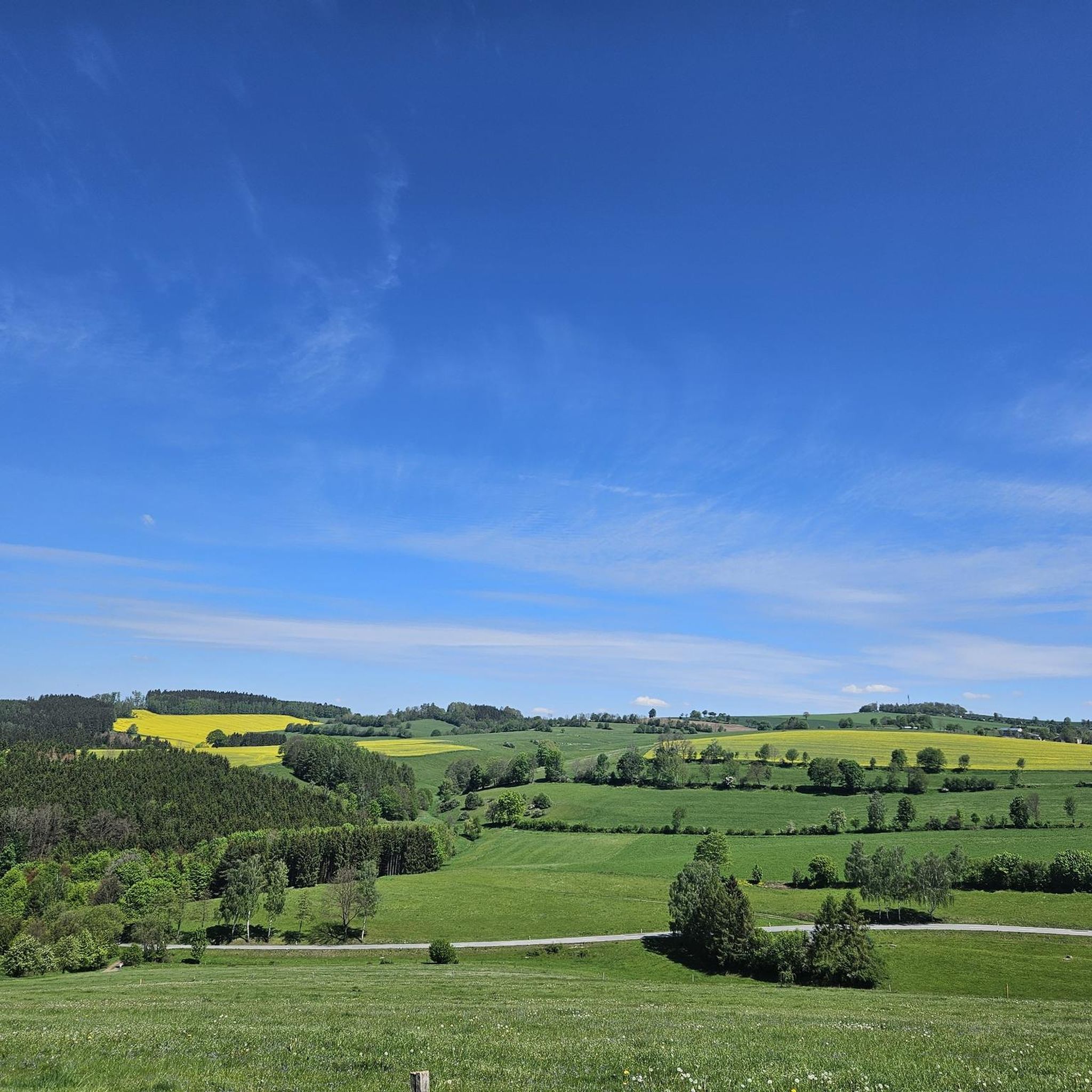
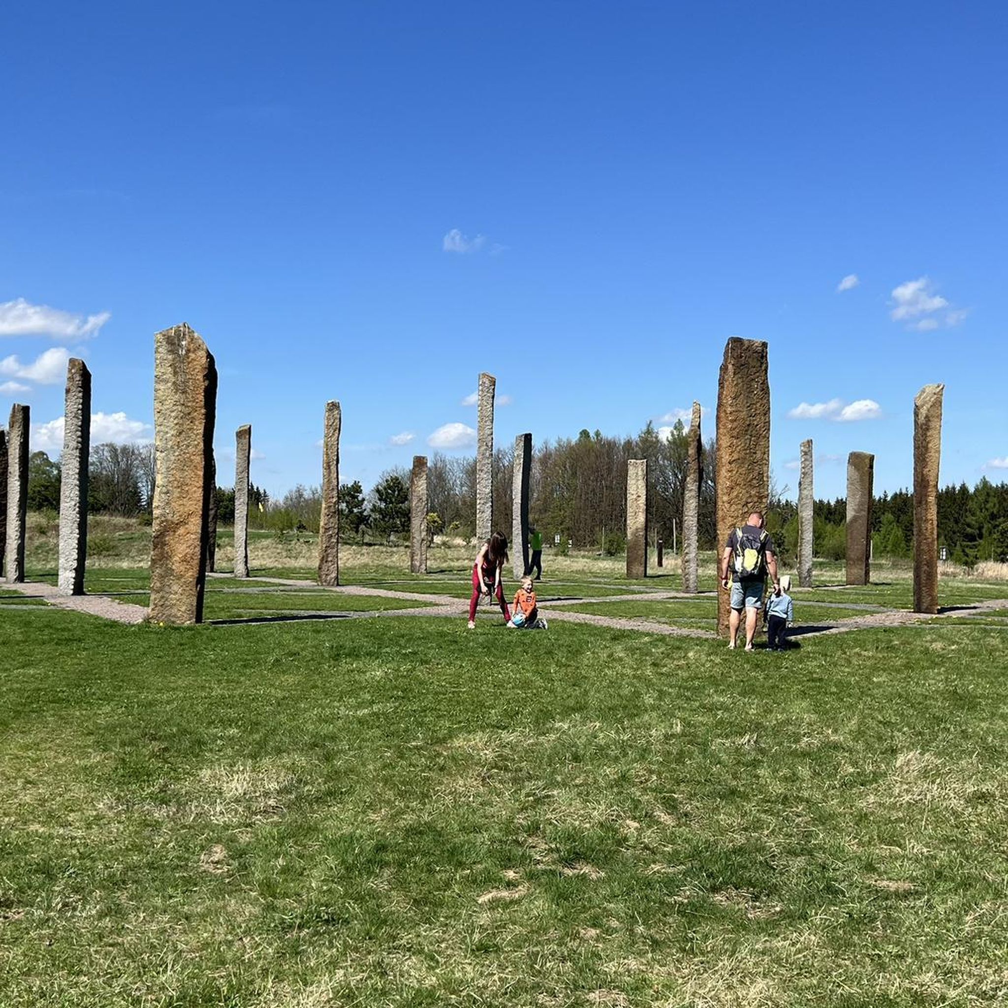
Other adventures around Großolbersdorf

Tips from the Community


A real insider tip on the Stoneman Miriquidi Road: The road from Pobershau to Kühnhaide winds quietly through the forest, with hardly any traffic and pleasant shade. The climb is challenging but steady – perfect for finding your rhythm. At the top, there's a moment to catch your breath.
1
0

... lost places, which reminds of earlier history
0
0

no matter which side you ride up - both are good mountain training
0
0
Great for road cycling. Few cars and good road surfaces amidst plenty of forest.
0
0

"In the Kingdom of Saxony, preparations for the introduction of the metric system were completed in connection with the work of the Standardization Commission and the related leading efforts by Albert Christian Weinlig and Julius Ambrosius Hülße. [...] Following a re-survey in 1858, a new system of milestones – the Royal Saxon milestones in the form of station, whole-mile, half-mile, branch, and border crossing stones – was created between 1859 and 1865 (from 1840: 1 mile = 7.5 km)." - https://de.wikipedia.org/wiki/Kurs%C3%A4chsische_Postmeilens%C3%A4ule#Nachfolger
0
0


After work, a covered seating area at the top beckons with a view of the Ore Mountains and (a few meters behind you) Chemnitz.
0
0
Frequently Asked Questions
How many road cycling routes are available around Großolbersdorf?
There are over 270 road cycling routes around Großolbersdorf, catering to various skill levels. This includes 27 easy routes, 161 moderate routes, and 83 difficult routes, all set within the scenic Ore Mountains.
What kind of terrain can I expect on road cycling routes in Großolbersdorf?
Road cycling in Großolbersdorf is characterized by the hilly and mountainous topography of the Ore Mountains. You can expect engaging ascents and descents, extensive forested areas, and routes that follow river valleys like the Zschopautal. This diverse landscape offers a mix of challenging and scenic rides.
Are there any family-friendly road cycling routes in the Großolbersdorf area?
Yes, while many routes feature significant elevation changes, there are options suitable for sporty families. For example, the "Berg und Tal - Rundtour um Großolbersdorf" is a moderately difficult route of about 21.2 km with scenic views, often recommended for families. You can find more details on this route here.
What historical landmarks or natural sights can I see along road cycling routes near Großolbersdorf?
The region is rich in sights. You can encounter historical landmarks like Schloss Wolkenstein, perched 80 meters above the Zschopautal, or the imposing Burg Scharfenstein. Natural features include the Greifensteine Observation Rock, offering expansive views, and the scenic Wolf Gorge (Wolkenstein Gorge) in the Zschopautal. The area also highlights its mining heritage with sites like the Röhrgrabenweg.
What do other road cyclists enjoy most about road cycling in Großolbersdorf?
The road cycling routes around Großolbersdorf are highly rated by the komoot community, with an average score of 4.6 stars from over 400 reviews. Cyclists often praise the varied terrain, the challenging climbs, and the beautiful panoramic views across the Ore Mountains and into the valleys.
Are there any routes that offer particularly good panoramic views?
Absolutely. Many routes lead to stunning viewpoints. For instance, the Scharfenstein Castle – View of Pöhlberg loop from Scharfenstein offers expansive views across the Ore Mountains and towards Pöhlberg. The Greifensteine Aussichtsfelsen, at 731 meters, also provides breathtaking vistas.
Can I find routes that connect Großolbersdorf to other notable places like Scharfenstein or Augustusburg?
Yes, the network of routes in the Ore Mountains allows for connections between various towns and attractions. For example, the Gornsdorf – Adorf Climb loop from Scharfenstein starts near Scharfenstein, and many routes offer views towards Augustusburg, indicating interconnectedness within the region.
Are there any specific lakes or reservoirs accessible by road bike around Großolbersdorf?
Yes, several beautiful water bodies are within cycling distance. You can find highlights like the Neunzehnhain II Dam and the Saidenbach Reservoir. The Greifenbach pond is also a notable spot in the area.
What is the best time of year for road cycling in Großolbersdorf?
The Ore Mountains offer a great cycling experience during the warmer months. Spring, summer, and early autumn generally provide the most favorable weather conditions for road cycling, allowing you to fully enjoy the forested areas and panoramic views without the challenges of winter snow or ice.
Are there any loop trails for road cycling around Großolbersdorf?
Yes, many road cycling routes in the region are designed as loops, allowing you to start and end at the same point. Examples include the Scharfenstein Castle – Greifensteine Rock Formations loop from Warmbad and the Panorama Road – View of Pöhlberg loop from Großolbersdorf, which offer diverse scenery and challenges.
Where can I find parking for road cycling routes in Großolbersdorf?
While specific parking areas for each route are not detailed, Großolbersdorf and surrounding towns like Scharfenstein often provide public parking facilities. It's advisable to check local signage or municipal websites for designated parking zones near your chosen starting point.
Most popular routes around Großolbersdorf
Most popular attractions around Großolbersdorf

Get inspired with the komoot mobile app


Explore more
Browse the best Road cycling routes in other regions.
