The best walks and hikes around Groß Niendorf
4.5
(2578)
10,510
hikers
503
hikes
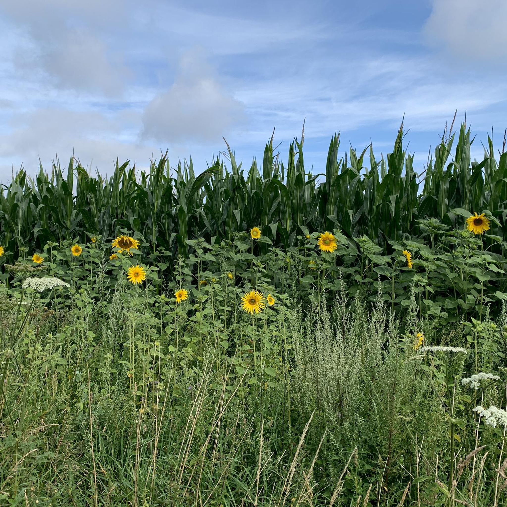
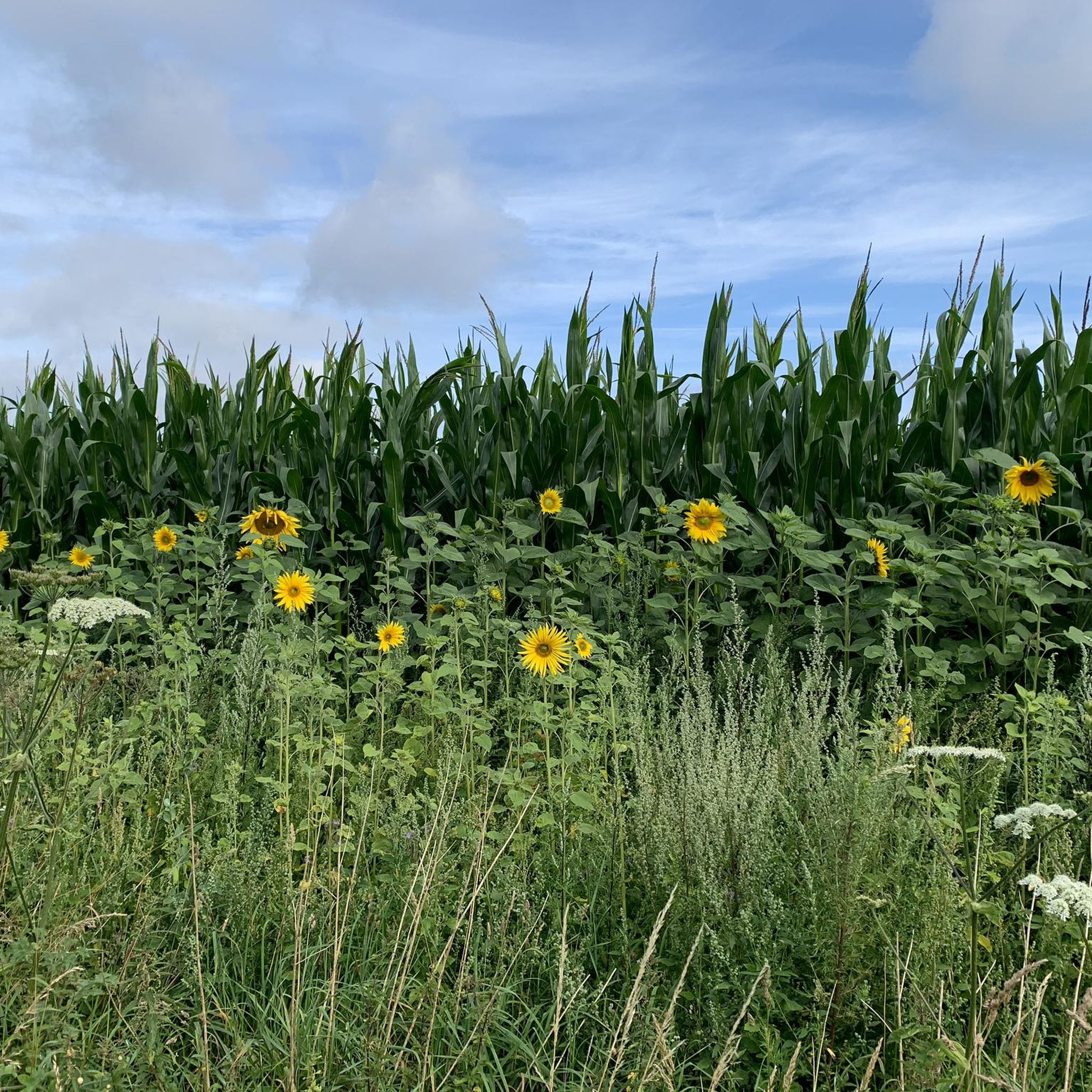
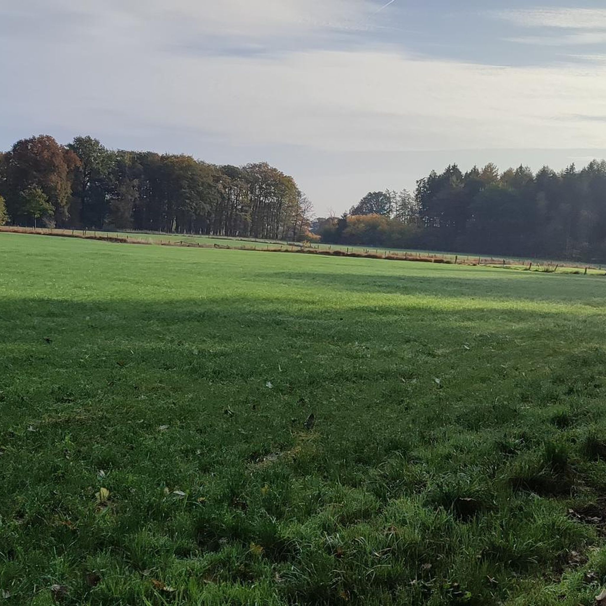
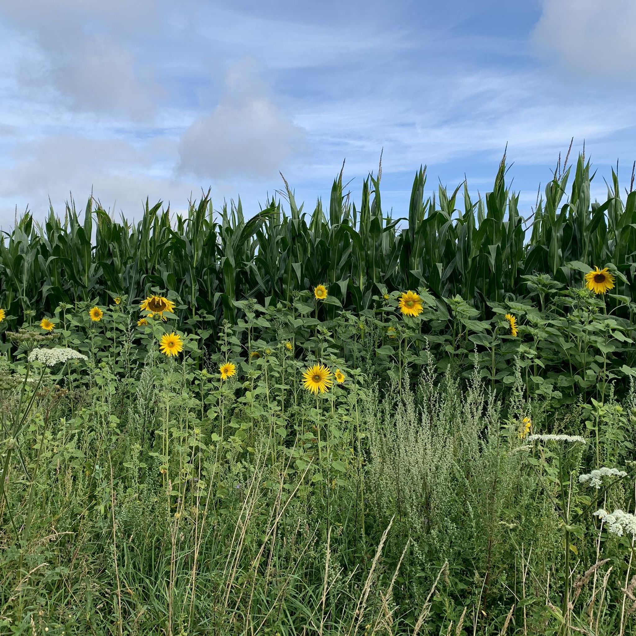
Hiking around Groß Niendorf offers routes through a landscape characterized by gentle hills, woodlands, and various water features. The region features a mix of open fields, forests, and small lakes, providing diverse scenery for outdoor activities. Elevation changes are generally modest, making many trails accessible. The area around Groß Niendorf is suitable for exploring the natural environment on foot.
Best hiking trails around Groß Niendorf
- The most popular hiking route is Majestic Pine Tree – Adele's Bench loop from Groß…
Last updated: May 24, 2026
4.9
(7)
59
hikers
5.92km
01:30
10m
10m
Easy hike. Great for any fitness level. Easily-accessible paths. Suitable for all skill levels.
5.0
(7)
37
hikers
14.5km
03:47
100m
100m
Moderate hike. Good fitness required. Easily-accessible paths. Suitable for all skill levels.

Sign up for free
5.0
(6)
46
hikers
2.58km
00:40
10m
10m
Easy hike. Great for any fitness level. Easily-accessible paths. Suitable for all skill levels.
5.0
(2)
23
hikers
Hard hike. Very good fitness required. Easily-accessible paths. Suitable for all skill levels.
4.7
(14)
31
hikers
Moderate hike. Good fitness required. Easily-accessible paths. Suitable for all skill levels.
Get access to more routes and recommendations from other explorers.
Sign up for free
Already have an account?
Our route recommendations are based on thousands of hikes, rides, and runs completed by other people on komoot.
Start today with a free account
Your next adventure awaits.
Login or Signup

Tips from the Community

Next to the bench, there is a classic bike rack for 4-5 bicycles. The bench invites you to take a break with a direct view of the lake.
0
0

Lake Grabau is so great. There's the forest adventure trail, the life-size animal figures in the woods, and the path around the lake—you have to look for it a bit, but it's well worth a walk or a drive!
0
0

Shortly after the Brenner Moor, the path climbs a short hill; at the top, you'll encounter Scottish Highland cattle. They readily accept a carrot.
1
0


The wooden plank path through the Brenner Moor is a must
0
0

A place of tranquility, peace, and togetherness. We parked our car in the parking lot to begin a hike. Afterwards, we took a short rest on a bench in front of the monastery – I met only friendly and open-minded people throughout the entire area!
2
0

The special taste of highland beef cannot be described exactly, because, as we all know, tastes differ. However, the following words come to mind to describe it: Highland beef is fine-grained, with inclusions of fat has an intense taste is slightly sweet with a long finish on the palate 😋
0
0
Scottish Highland cattle Known for their good nature. Long orange fur and curved horns are the trademarks of Scottish Highland cattle (Bos taurus). But their striking appearance doesn't just make them pretty to look at. Highland cattle are well suited to extensive grazing in near-natural conditions and can withstand wind and weather even in barren areas. The endangered habitat types and biotopes that are worth protecting are particularly suitable for the use of this breed of cattle: moors and heaths, alluvial forests, wet meadows, springs and water protection areas.
0
0
Frequently Asked Questions
Are there easy or family-friendly hiking trails in Groß Niendorf?
Yes, Groß Niendorf offers a good selection of easy trails suitable for families and beginners. Over 330 routes in the area are classified as easy. A great option is the Neverstaven Telecommunications Tower loop from Klingberg, which is a short 1.6 miles (2.6 km) and takes about 40 minutes to complete, leading through open areas.
What kind of landscape can I expect while hiking around Groß Niendorf?
The landscape around Groß Niendorf is characterized by gentle hills, woodlands, and various water features. You'll find a mix of open fields, forests, and small lakes, providing diverse scenery. The elevation changes are generally modest, making for accessible and pleasant walks.
Are there circular hiking routes available in Groß Niendorf?
Many of the trails around Groß Niendorf are designed as circular routes, allowing you to start and end at the same point. For example, the Majestic Pine Tree – Adele's Bench loop from Groß Niendorf is a popular 3.7 miles (5.9 km) circular trail that highlights scenic points.
What are some notable landmarks or attractions to see along the hiking trails?
While hiking, you can explore various natural and man-made attractions. The region features several beautiful lakes, such as the Teufelsteich or the Salt Pond in the Bad Oldesloe Spa Park. Some routes also pass by historical sites like St John's Church, Sülfeld.
What is the typical length and duration of hikes around Groß Niendorf?
Hikes in Groß Niendorf vary in length and duration. You can find shorter walks like the Neverstaven Telecommunications Tower loop at 1.6 miles (2.6 km) taking about 40 minutes, to longer, more challenging routes such as the Green Bridge (Brenner Moor) – Nütschau Monastery loop from Travenbrück, which is 15.4 miles (24.8 km) and can take over 6 hours.
What do other hikers enjoy most about hiking in Groß Niendorf?
The komoot community highly rates the hiking experience in Groß Niendorf, with an average score of 4.5 stars from over 2,500 reviews. Hikers often praise the region's diverse scenery, including its quiet woodlands, open fields, and serene lakes, as well as the accessibility of many trails.
Are there any moderate or more challenging routes for experienced hikers?
Yes, for those seeking a more challenging experience, there are 164 moderate and 14 difficult routes available. A moderate option is the St John's Church, Sülfeld – Grabauer Lake loop from Klingberg, which is 9.0 miles (14.5 km) and offers views of Grabauer Lake.
Can I find trails that pass by water features or lakes?
Absolutely. The region around Groß Niendorf is known for its various water features. Many trails offer views of or lead directly to lakes and ponds. The St John's Church, Sülfeld – Grabauer Lake loop is a great example, providing scenic views of Grabauer Lake.
What is the best season for hiking in Groß Niendorf?
Groß Niendorf is enjoyable for hiking throughout much of the year. Spring brings blooming nature, summer offers lush greenery, and autumn provides beautiful fall colors. The modest elevation changes also make some trails suitable for winter hiking, though conditions should always be checked.
Are there trails where I might encounter wildlife?
Given the region's mix of woodlands, fields, and water features, it's possible to encounter local wildlife. Keep an eye out for various bird species, small mammals, and potentially deer, especially during quieter times of the day or on less frequented paths.
Are there any trails that offer scenic viewpoints?
While Groß Niendorf is characterized by gentle terrain rather than dramatic mountain vistas, many trails offer charming scenic viewpoints over open fields, through forests, or across lakes. The Majestic Pine Tree – Adele's Bench loop features specific scenic points like a majestic pine tree and a designated bench for enjoying the surroundings.
Are there options for longer day hikes in the area?
Yes, if you're looking for a longer day out, there are several routes that extend beyond a few hours. The Green Bridge (Brenner Moor) – Nütschau Monastery loop from Travenbrück is a challenging 15.4 miles (24.8 km) trail that provides a full day's adventure through varied landscapes.
Most popular routes around Groß Niendorf
Most popular attractions around Groß Niendorf

Get inspired with the komoot mobile app


Explore more
Browse the best Hikes in other regions.
