The best walks and hikes around Großneuhausen
4.5
(667)
2,767
hikers
362
hikes
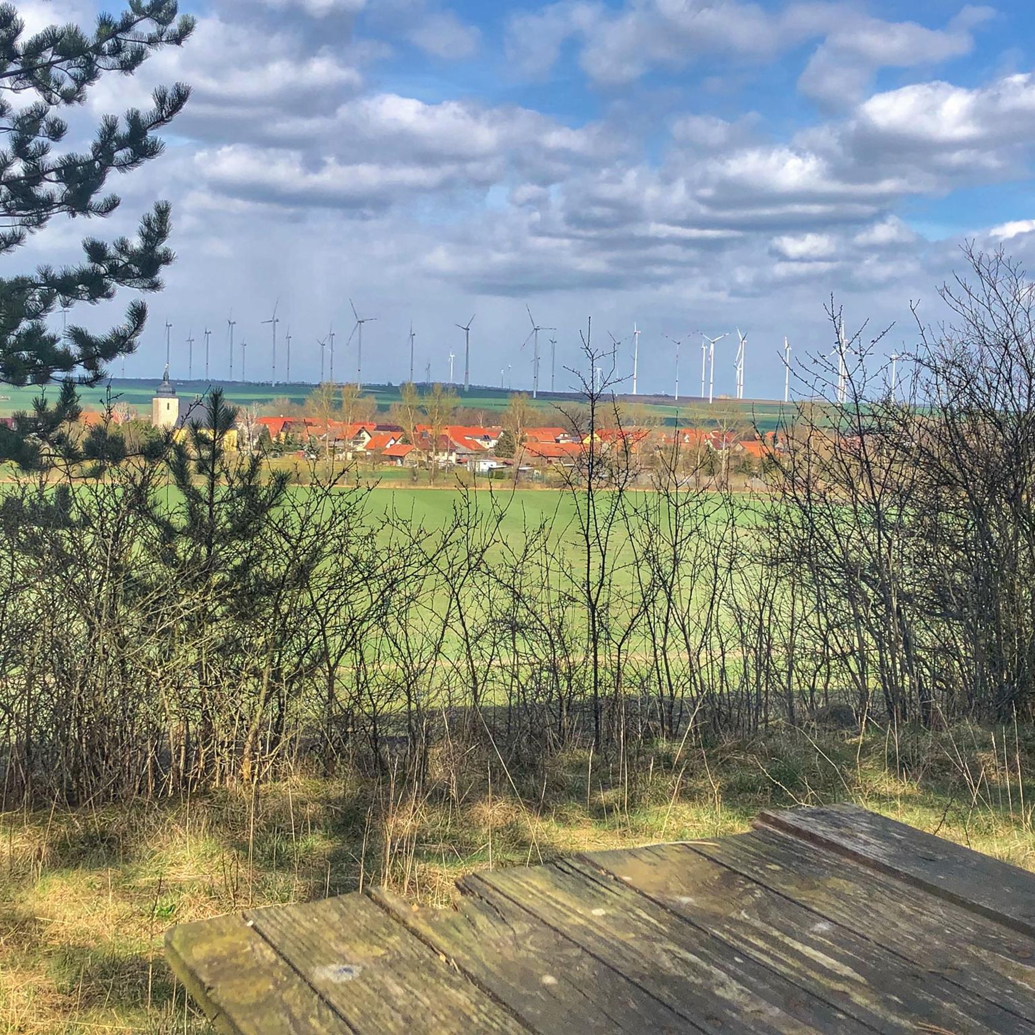
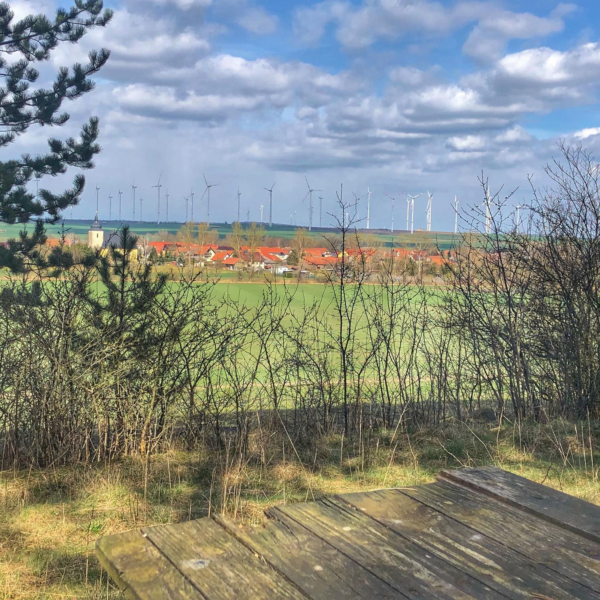
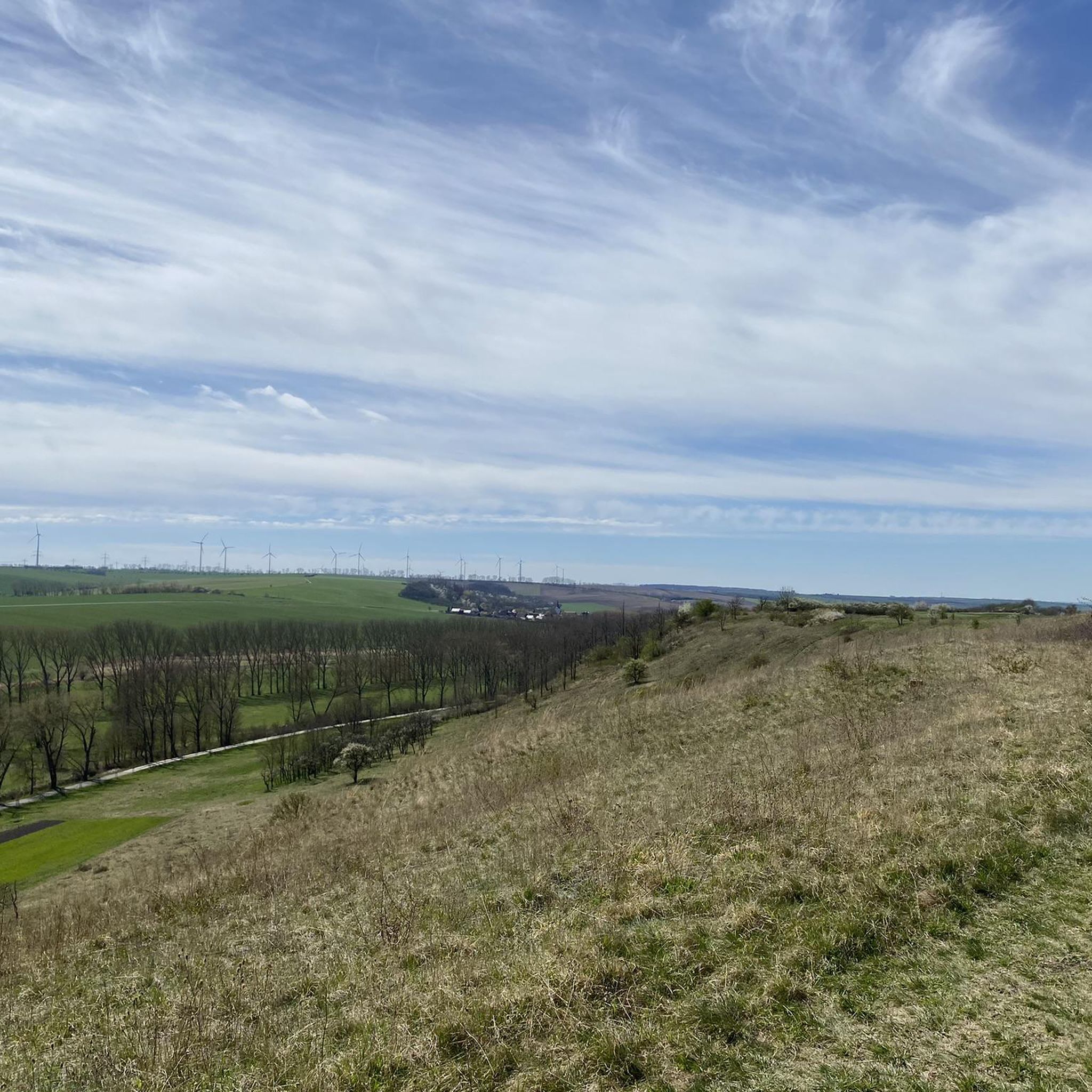
Hiking around Großneuhausen offers access to the scenic Thuringian landscape, characterized by varied terrains including forested areas, meadows, and river valleys. The region's appeal for outdoor activities is enhanced by its proximity to the Unstrut River, providing tranquil paths. These natural features create a diverse environment for outdoor exploration.
Best hiking trails around Großneuhausen
- The most popular hiking route is Spring with vaulted cellar loop from Vogelsberg, a 7.4 miles (11.9 km) trail that takes 3 hours 8 minutes…
Last updated: May 14, 2026
4.5
(4)
9
hikers
11.9km
03:09
120m
120m
Moderate hike. Good fitness required. Easily-accessible paths. Suitable for all skill levels.
5.0
(1)
13
hikers
4.29km
01:05
10m
10m
Easy hike. Great for any fitness level. Easily-accessible paths. Suitable for all skill levels.

Sign up for free
4.0
(1)
4
hikers
Easy hike. Great for any fitness level. Easily-accessible paths. Suitable for all skill levels.
5.0
(1)
10
hikers
Moderate hike. Good fitness required. Easily-accessible paths. Suitable for all skill levels.
4.0
(1)
4
hikers
Moderate hike. Good fitness required. Easily-accessible paths. Suitable for all skill levels.
Get access to more routes and recommendations from other explorers.
Sign up for free
Already have an account?
Our route recommendations are based on thousands of hikes, rides, and runs completed by other people on komoot.
Start today with a free account
Your next adventure awaits.
Login or Signup
Tips from the Community

Hi Miata, thanks for your help, but it couldn't have been ME361. Its crash site is Volkerswurth near Hemmingstedt/Schleswig-Holstein. Here's a link to the aircraft forum: https://www.flugzeugforum.de/threads/denkmal-flugzeugabschuss-nahe-vogelsberg-bei-soemmerda-wer-kann-helfen.103662/ The mystery remains unsolved...
0
0

a really relaxing spot.. just nature
0
0

@Jorgo Here you can find information about the plane: https://35squadron.wordpress.com/2017/07/26/lancaster-me361-07031945/
0
0
@Ralf: May I ask where your information about the aircraft part comes from? Was the crash site there too? Where can you find out more about it? I'm asking for Flugzeugforum.de where this monument is currently located. topic is.
0
0

To. But very old tombstones on the wall. https://de.wikipedia.org/wiki/St._Johannes_(Kölleda)
0
0
Unfortunately it was closed. https://de.wikipedia.org/wiki/St._Wipperti_(Kölleda) Next to it is the beautiful town hall with the fountain
0
0

Hall church from 1542 on the floor of a previous church. Pulled-in western tower with pointed helmet
0
0

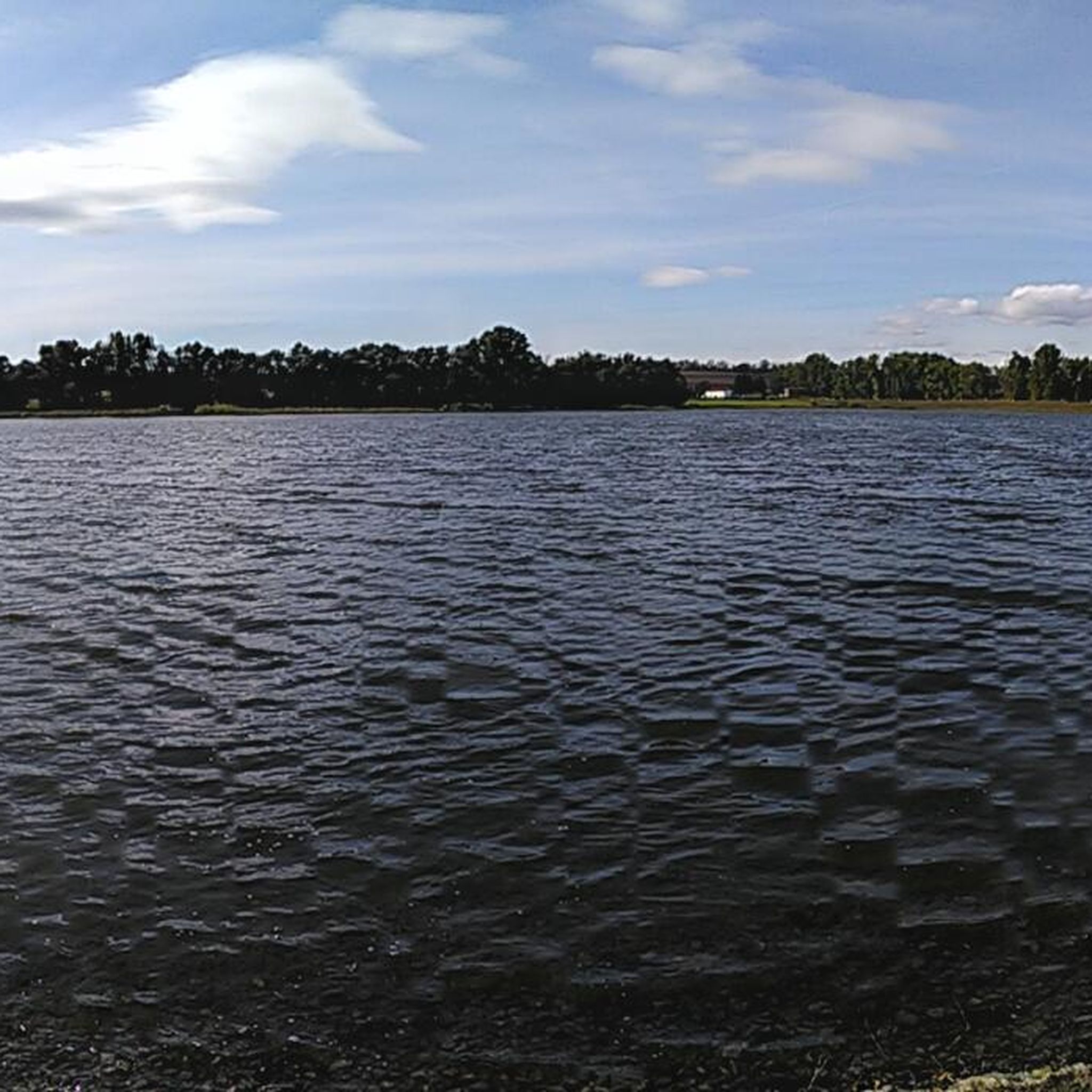
Idyllic little lake where you can also meet anglers. All around are benches on which you can linger. But there is also enough space for a picnic.
2
0
Frequently Asked Questions
How many hiking trails are available around Großneuhausen?
There are over 360 hiking routes around Großneuhausen. These include a variety of options, from easy strolls to more challenging excursions, catering to different skill levels.
What kind of landscapes can I expect to see while hiking near Großneuhausen?
The region around Großneuhausen offers picturesque landscapes typical of Thuringia, characterized by varied terrains. You'll find forested areas, open meadows, and tranquil paths along the Unstrut River, providing a diverse natural backdrop for your hikes.
Are there hiking trails suitable for beginners or easy walks in Großneuhausen?
Yes, Großneuhausen offers many easy hiking options. There are 174 easy routes available, such as the St. Johannes Church (Kölleda) loop from Kölleda, which is a short 2.7-mile path perfect for a relaxed walk.
What are the difficulty levels of hikes around Großneuhausen?
The hiking trails around Großneuhausen cater to various fitness levels. You can find 174 easy routes, 171 moderate routes, and 17 difficult routes, ensuring there's an option for every hiker.
Are there any circular hiking routes in the Großneuhausen area?
Yes, many routes around Großneuhausen are circular. Examples include the Spring with vaulted cellar loop from Vogelsberg and the Kleinneuhausen Gravel Pond – Gallows Hill loop from Kleinneuhausen, allowing you to start and end at the same point.
Can I find family-friendly hiking trails near Großneuhausen?
Absolutely. The region offers numerous easy trails suitable for families. These paths often traverse gentle terrain through meadows and along riverbanks, providing a pleasant experience for all ages. Look for routes marked as 'easy' for the best family options.
Are dogs allowed on the hiking trails around Großneuhausen?
Generally, dogs are welcome on hiking trails in the Thuringia region, including around Großneuhausen. However, it's always advisable to keep them on a leash, especially in nature reserves or near livestock, and to check specific trail regulations if available.
What natural features or landmarks can I discover on hikes around Großneuhausen?
You can explore various natural and historical landmarks. Highlights include the Leubingen Burial Mound and the Leubingen Prince’s Mound, offering a glimpse into ancient history. You might also encounter natural monuments like the Brauteiche (Quercus robur L.).
Where can I find huts or shelters along the hiking routes?
There are several huts and shelters available for rest or protection from the elements. Notable spots include Holzmichel's Grill Hut and the Rothenberga Rest Hut. You can also find facilities like the Wooden shelter with barbecue in Finne.
Is there parking available at the trailheads in Großneuhausen?
Yes, many trailheads and starting points for hikes around Großneuhausen offer parking facilities. It's common for villages and popular access points to have designated parking areas for hikers.
What do other hikers say about the trails in Großneuhausen?
The trails in Großneuhausen are highly rated by the komoot community, with an average score of 4.5 stars from over 600 reviews. Hikers often praise the varied terrain, including river valleys, forested areas, and open meadows, as well as the well-maintained paths.
What is the best time of year to go hiking in Großneuhausen?
The Thuringian region, including Großneuhausen, is beautiful for hiking throughout the warmer months, from spring to autumn. Spring offers blooming landscapes, while autumn provides vibrant foliage. Summer is also popular, though some prefer the milder temperatures of spring and fall.
How can I reach the hiking trails around Großneuhausen by public transport?
While some larger towns in Thuringia are well-connected, access to specific trailheads around Großneuhausen by public transport might be limited. It's recommended to check local bus schedules or consider combining public transport with a short walk or taxi ride to reach more remote starting points.
Most popular attractions around Großneuhausen

Get inspired with the komoot mobile app


Explore more
Browse the best Hikes in other regions.
