The best walks and hikes around Großmürbisch
4.5
(44)
406
hikers
81
hikes
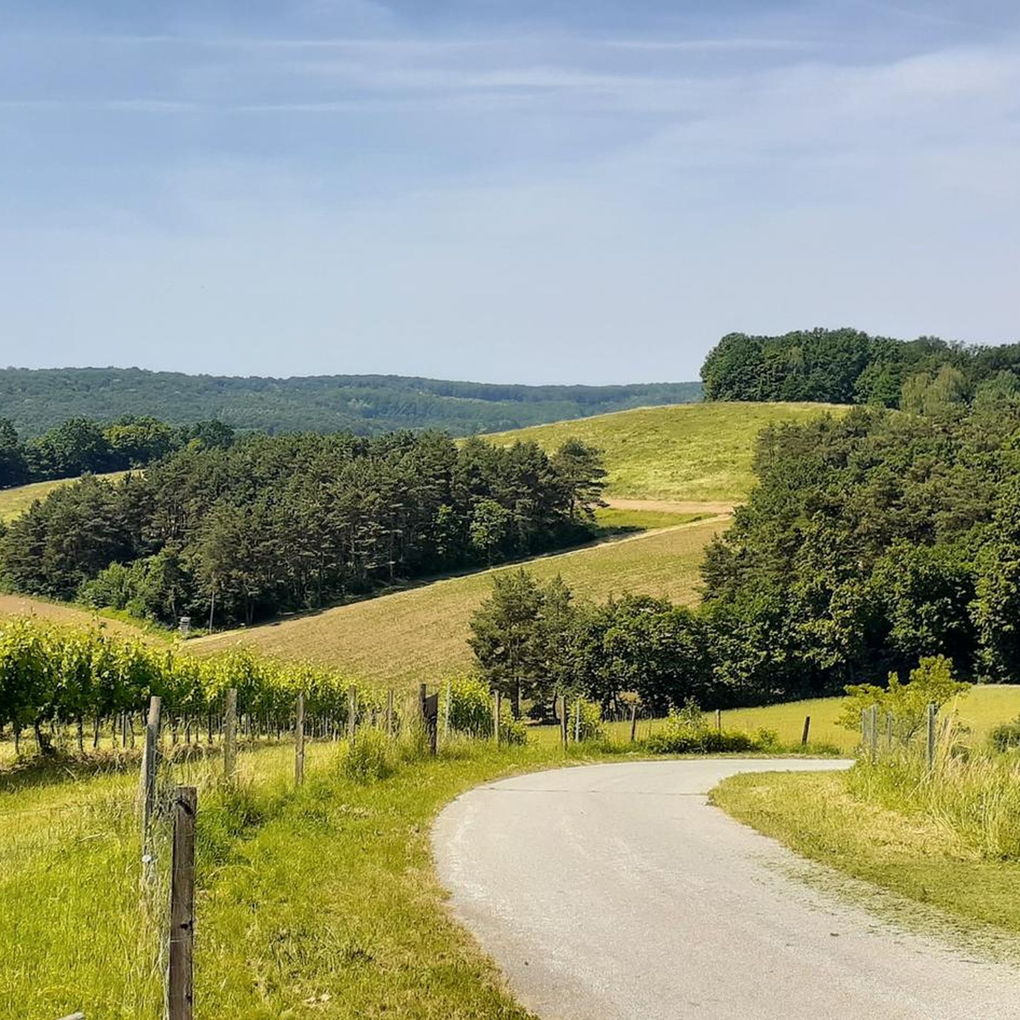
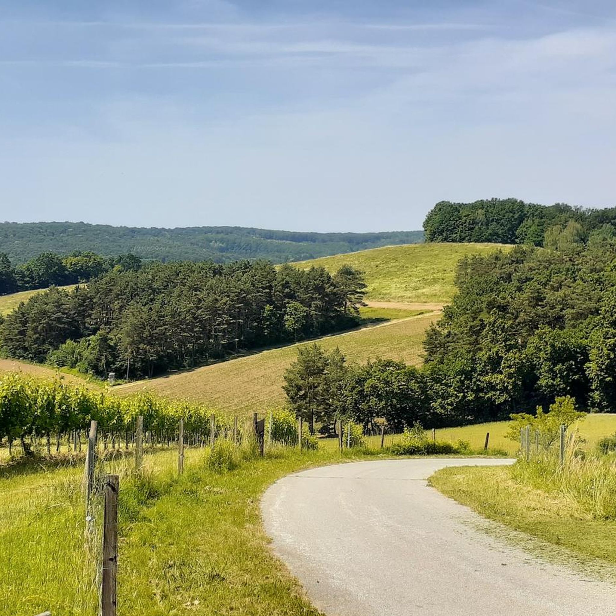
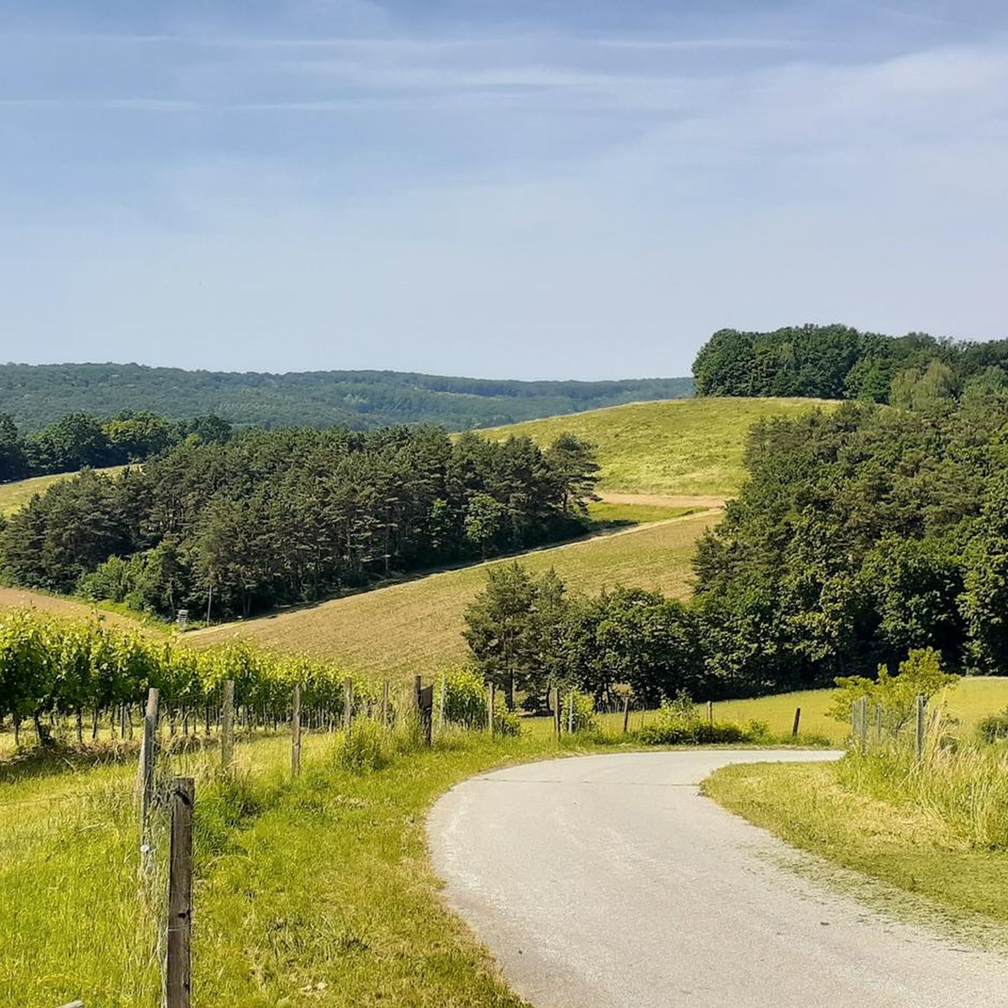
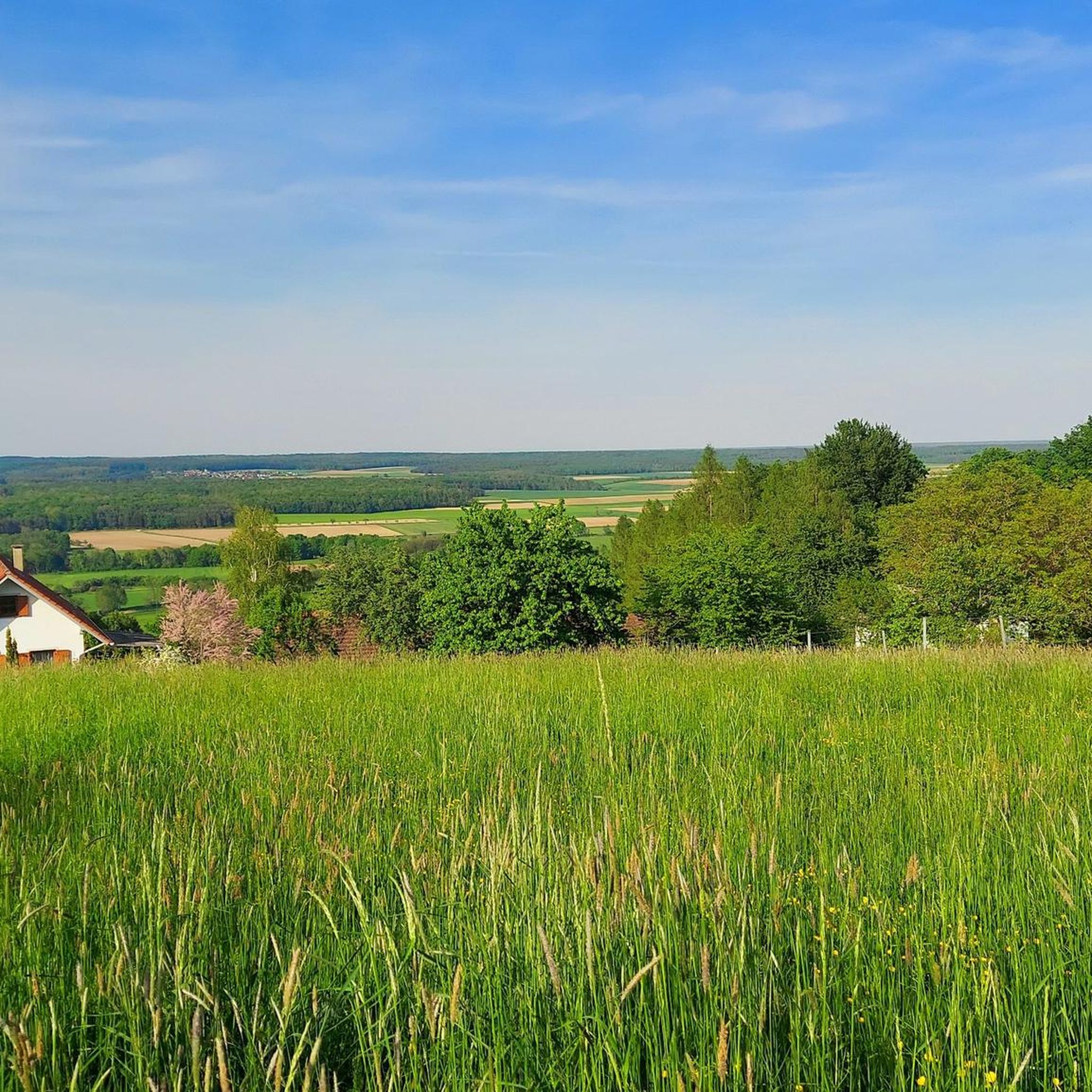
Hiking around Großmürbisch offers a variety of trails through the gently rolling hills and picturesque landscape of Southern Burgenland, Austria. The region is characterized by a diverse ecosystem, providing varied natural settings for outdoor activities. Hikers can explore a mix of open countryside and wooded areas, with routes often featuring moderate elevation changes.
Best hiking trails around Großmürbisch
- The most popular hiking route is Kastell Batthyány Güssing – Güssing Castle loop from Güssing, an easy 4.5 miles (7.3 km)…
Last updated: June 26, 2026
4.6
(5)
39
hikers
7.45km
02:01
100m
100m
Moderate hike. Good fitness required. Easily-accessible paths. Suitable for all skill levels.
23
hikers
Easy hike. Great for any fitness level. Easily-accessible paths. Suitable for all skill levels.

Sign up for free
5.0
(1)
11
hikers
Moderate hike. Good fitness required. Easily-accessible paths. Suitable for all skill levels.
5.0
(2)
10
hikers
Moderate hike. Good fitness required. Easily-accessible paths. Suitable for all skill levels.
5.0
(1)
10
hikers
Easy hike. Great for any fitness level. Easily-accessible paths. Suitable for all skill levels.
Get access to more routes and recommendations from other explorers.
Sign up for free
Already have an account?
Our route recommendations are based on thousands of hikes, rides, and runs completed by other people on komoot.
Start today with a free account
Your next adventure awaits.
Login or Signup
Tips from the Community

The obelisk of this war memorial is crowned by an eagle, the proud heraldic animal of many nations. The dialect group „Bläck Fööss“ from Cologne (North Rhine-Westphalia, DE) has written a song about a memorial for fallen soldiers in the Südstadt of Cologne, which is also crowned by an eagle. The text by Hans Knipp reads: „Doch sulang dä Adler steit op däm Stein, sulang es et jot, den dann als hä domols floch, jo do braat hä nur Elend un Nut. Wenn ich su vür im ston en singem Schatten, dann denk ich an dich un mich, un ich han nur dä eine Wunsch, dat dä Adler nie widder flüch.“ Those who are not afraid of the Rhenish dialect and would like to listen to the anti-war song by Bläck Fööss can do so at the following link =>> https://www.youtube.com/watch?v=zKjl50KrqC0 But as long as the eagle stands on the stone, everything is good, because when it flew back then, it only brought misery and need. When I stand before it like this, in its shadow, I think of you and me, And I have only one wish, that the eagle never flies again.
0
0

A small fish pond between Strem and Heiligenbrunn. A beautiful place to relax and unwind.
0
0
The listed church in Reinersdorf, built in 1902, is dedicated to the Ascension of Christ. Here, on the hilltop, you will also find rest areas, as well as the war memorial, the cemetery with a chapel, and a crucifix.
0
0
A small, charming border crossing. It looks really romantic here :)
0
0
Coming out of the forest, the beautiful landscape opens up before you.
0
0
What an original idea at the entrance to the church in Heiligenbrunn! Wouldn't it be nice to sit next to it as a photo opportunity? :)
1
0
It's beautiful up here. Over the past few years, the castle courtyard has been continuously improved and adapted. In summer, events of the Güssing Cultural Summer take place here on a specially installed open-air stage. With Stipsits, Seidl, Vitasek, and others performing. Fantastic! :)
0
0
There are several of these (castle gates). Or rather, passageways. But anyway – they're essential. And they help with the panting climb: Now I'm already at the first one... the second... the third... :)
0
0
Frequently Asked Questions
What kind of terrain can I expect on hikes around Großmürbisch?
The region around Großmürbisch is characterized by gently rolling hills and a picturesque landscape. You'll find a mix of open countryside and wooded areas, with routes generally featuring moderate elevation changes. The area is known for its sunny climate, contributing to diverse natural settings.
Are there many easy hiking trails available in Großmürbisch?
Yes, Großmürbisch offers a good selection of easy hiking trails. Out of the 84 available routes, 48 are classified as easy, making them suitable for a relaxed stroll. An example is the Urbersdorfer Reservoir – Ubersdorfer Reservoir loop from Glasing, which is 1.5 miles (2.4 km) long and takes about 40 minutes.
What are some notable landmarks or attractions I can see while hiking?
Many routes offer views of significant regional attractions. For instance, the Kastell Batthyány Güssing – Güssing Castle loop from Güssing provides excellent views of the impressive Güssing Castle. You might also encounter the Ulrich Chapel and Holy Spring (Ulrichskapelle and Ulrichquelle) Heiligenbrunn or the Giant oak.
When is the best time of year to go hiking in Großmürbisch?
The mild weather during spring and autumn makes these seasons particularly suitable for exploring the hiking trails. In spring, numerous flowers bloom, and in autumn, the foliage displays vibrant colors, offering a beautiful backdrop for your hikes. The region also enjoys many hours of sunshine.
Are there any circular hiking routes around Großmürbisch?
Yes, many of the trails around Großmürbisch are designed as loops. For example, the View of Güssing Castle – Güssing Castle loop from Güssing is a moderate 5.8 miles (9.3 km) circular path offering expansive views of the historic castle and surrounding landscape.
What do other hikers say about the trails in Großmürbisch?
The routes in Großmürbisch are highly rated by the komoot community, with an average score of 4.5 stars from over 40 reviews. Hikers often praise the picturesque landscapes and the variety of trails through gently rolling hills.
Are there any trails that pass by lakes or reservoirs?
Yes, you can find trails that lead to or around local water bodies. The Urbersdorfer Reservoir – Ubersdorfer Reservoir loop from Glasing takes you through the area around the Ubersdorfer Reservoir, offering a pleasant natural setting.
Can I find longer, more challenging hikes in the area?
While the region is known for its gently rolling hills, there are moderate options for those seeking a bit more challenge. Out of 84 tours, 35 are classified as moderate. An example is the Heiligenbrunn Cellar Quarter – Parish Church of Heiligenbrunn loop from Heiligenbrunn, a 10.2 km (6.3 miles) route with moderate elevation.
Are there any historical sites or churches to see along the hiking paths?
The region offers insights into local history and culture. The Panorama Trail, for instance, guides hikers through picturesque neighboring villages where you can explore local churches and historical castle ruins. The Roman Burial Mounds of Strem are another historical site nearby.
What is the typical elevation gain on hikes in Großmürbisch?
Hikes in Großmürbisch generally feature moderate elevation changes due to the gently rolling hills. For example, the Ulrichsquelle Heiligenbrunn – Heiligenbrunn War Memorial loop from Heiligenbrunn has an elevation gain of approximately 84 meters over its 5.1 km distance.
Are there any specific trails that offer panoramic views?
The Panorama Trail around Großmürbisch is specifically known for providing spectacular viewpoints. This trail guides you through picturesque neighboring villages and offers expansive vistas of the surrounding landscape.
Most popular attractions around Großmürbisch

Get inspired with the komoot mobile app


Explore more
Browse the best Hikes in other regions.
