The best walks and hikes around Großlangheim
4.5
(7289)
29,449
hikers
51
hikes
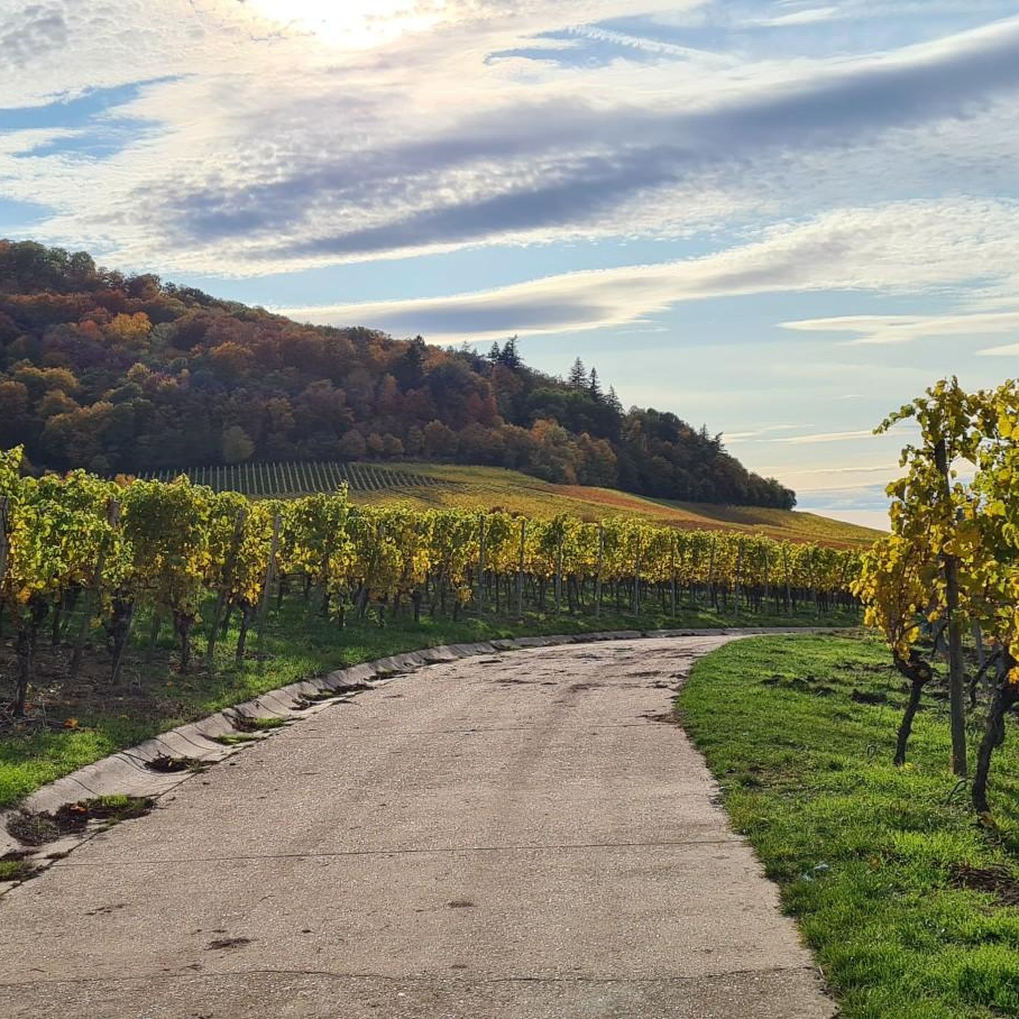
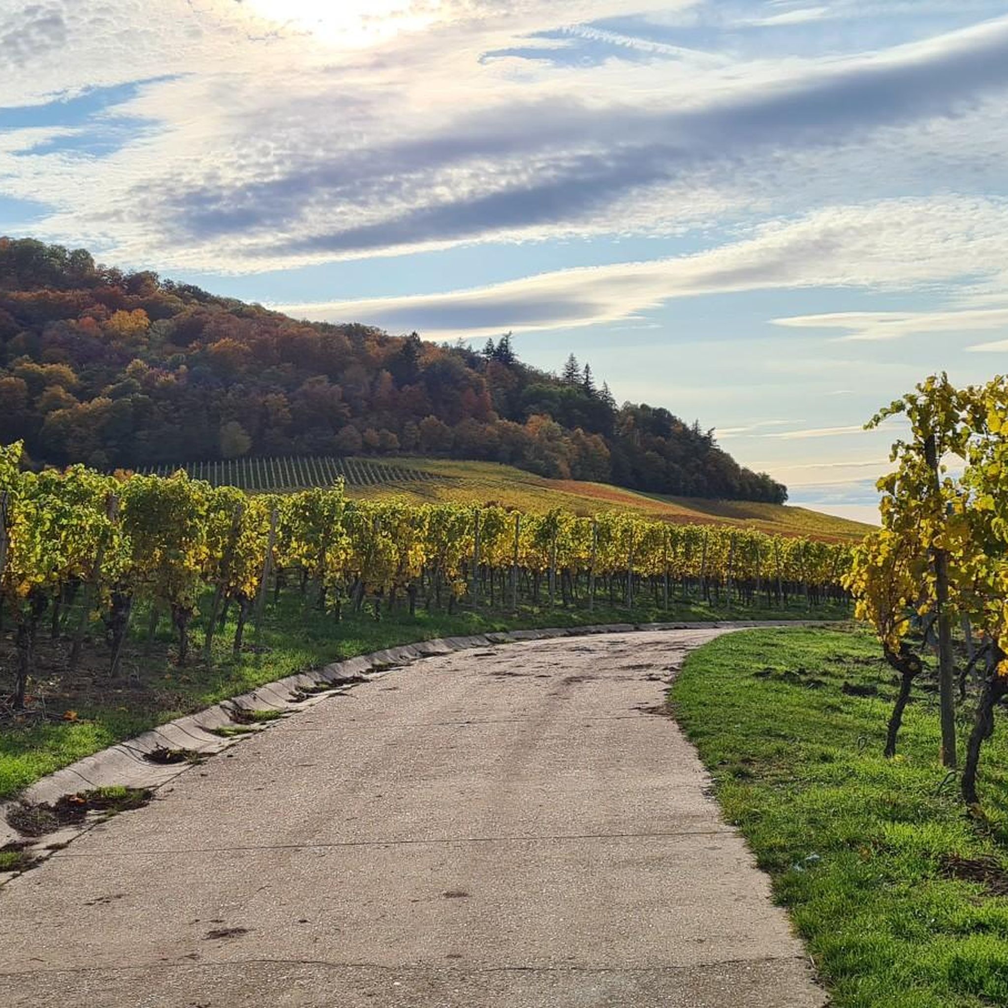
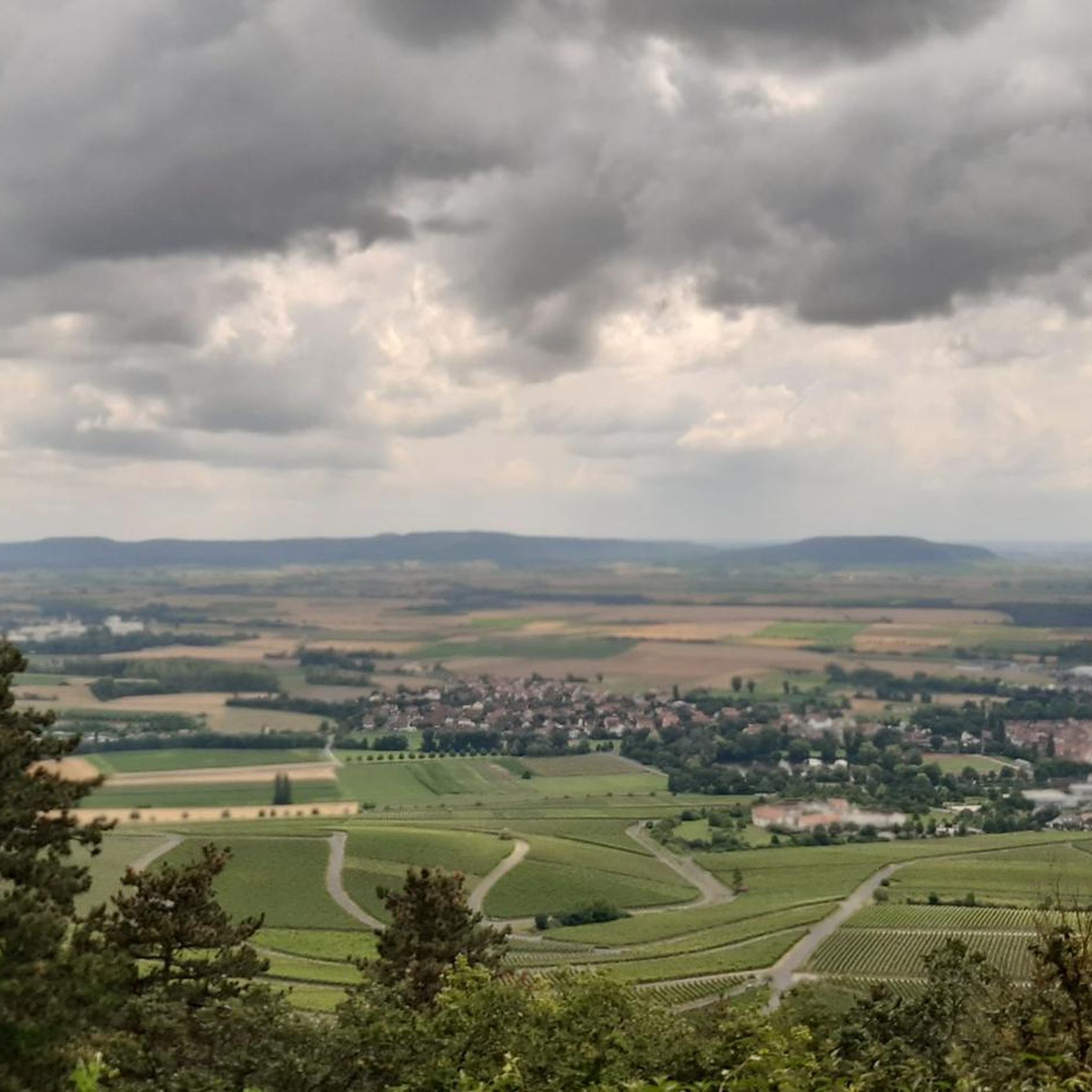
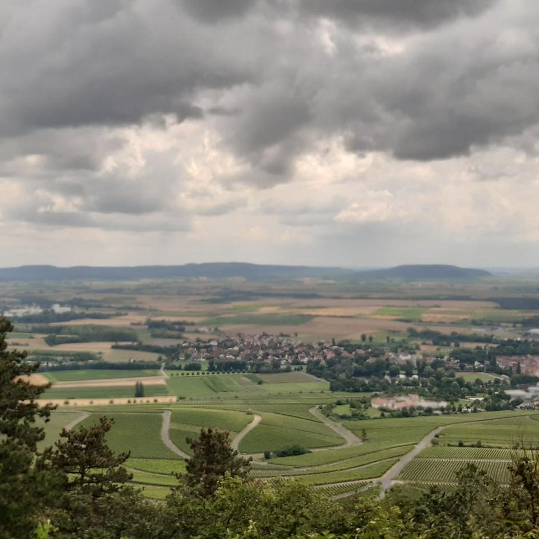
Hiking around Großlangheim offers a diverse landscape characterized by rolling hills and picturesque vineyards, providing scenic vistas throughout the region. The area also features dense forests and tranquil small lakes, contributing to varied scenery for outdoor enthusiasts. With an average elevation around 224 meters, the terrain presents pleasant undulations suitable for different hiking abilities. These natural features combine with well-maintained trails to create an appealing destination for hikers.
Best hiking trails around Großlangheim
- The most popular hiking route is Iphöfer…
Last updated: July 1, 2026
4.8
(56)
220
hikers
14.4km
03:58
250m
250m
Moderate hike. Good fitness required. Easily-accessible paths. Suitable for all skill levels.
5.0
(4)
33
hikers
Moderate hike. Good fitness required. Easily-accessible paths. Suitable for all skill levels.

Sign up for free
5.0
(1)
12
hikers
13.9km
03:45
170m
170m
Moderate hike. Good fitness required. Easily-accessible paths. Suitable for all skill levels.
4.7
(15)
69
hikers
Moderate hike. Good fitness required. Easily-accessible paths. Suitable for all skill levels.
3
hikers
10.1km
02:44
140m
140m
Moderate hike. Good fitness required. Easily-accessible paths. Suitable for all skill levels.
Get access to more routes and recommendations from other explorers.
Sign up for free
Already have an account?
Our route recommendations are based on thousands of hikes, rides, and runs completed by other people on komoot.
Start today with a free account
Your next adventure awaits.
Login or Signup

Tips from the Community


terrior f Rödelsee always a beautiful destination for the end of the workday
0
0

The forest cemetery at Schwanberg
0
0

Beautiful craftsmanship - the cross bearer on the cemetery wall
0
0
Nice corner, invites you to take a break
0
0

I love walking through the vineyards 🚶🏼♀️/cycling 🚴🏼♀️, and watching the development of the vines
1
0
Frequently Asked Questions
How many hiking trails are available around Großlangheim?
There are over 50 hiking routes available around Großlangheim, catering to various skill levels. You'll find a good mix of easy and moderate trails to explore the region's diverse landscapes.
What kind of terrain can I expect when hiking in Großlangheim?
The terrain around Großlangheim is characterized by picturesque vineyards, rolling hills, and dense forests. You'll also encounter tranquil small lakes and an average elevation of around 224 meters, providing pleasant, undulating paths.
What is the best time of year to go hiking in Großlangheim?
The best seasons for hiking in Großlangheim are spring and autumn. During these times, the weather is mild, and nature displays vibrant colors, from blooming flowers in spring to the rich foliage of autumn.
Are there options for easy, family-friendly hikes?
Yes, Großlangheim offers many family-friendly options. Out of over 50 trails, 33 are considered easy. For example, the Insect Hotel by the Trail loop from Großlangheim is an easy 6.7 km route perfect for a leisurely outing.
Are there any challenging hikes in the Großlangheim area?
While Großlangheim primarily features easy to moderate trails, some routes offer more significant elevation gain. For a longer, more challenging moderate hike, consider the Celtic rampart on Schwanberg – Wiesenbronn Sandstone Quarry loop from Rödelsee, which covers 15.5 km with nearly 400 meters of ascent.
What natural features or landmarks can I see while hiking near Großlangheim?
You can explore diverse natural features and landmarks. Many trails wind through vineyards and forests. Notable attractions include the Schwanberg Castle Park, the Volkacher Mainschleife, and the Gerichtslinde Above Castell. You might also encounter historical sites like Langheim Castle.
Can I find hikes with good viewpoints in Großlangheim?
Absolutely. The region is known for its scenic vistas. The View of Schwanberg – Rest Area with Wayside Shrine loop from Großlangheim offers views towards Schwanberg, and the View of Rödelsee – Terroir F Rödelsee Viewpoint loop from Großlangheim provides notable viewpoints over varied terrain. You can also visit the Kreuzberg Panoramic Hill – Summit of the Wine Island for expansive views.
Are there circular hiking routes available?
Yes, many of the trails around Großlangheim are circular routes, perfect for starting and ending in the same location. Examples include the popular Iphöfer vineyards – Rödelseer Gate loop from Rödelsee and the View of Schwanberg – Rest Area with Wayside Shrine loop from Großlangheim.
Are dogs allowed on the hiking trails in Großlangheim?
Generally, dogs are welcome on public hiking trails in Großlangheim. However, it's always recommended to keep them on a leash, especially in nature reserves, agricultural areas, or near livestock, and to clean up after them.
What do other hikers enjoy most about hiking in Großlangheim?
The komoot community highly rates hiking in Großlangheim, with an average score of 4.6 stars from over 900 reviews. Hikers often praise the picturesque vineyards, rolling hills, and well-maintained trails that offer diverse scenery.
Is public transport available to reach hiking trailheads?
While specific public transport connections directly to all trailheads might be limited, Großlangheim is part of the regional transport network. We recommend checking local bus schedules or regional train connections to nearby towns for access points.
Where can I find parking for hiking trails in Großlangheim?
Parking is typically available in or near the village centers of Großlangheim and surrounding communities. Look for designated parking areas near popular trail starting points or local attractions. Specific parking details are often provided on individual route descriptions on komoot.
Most popular routes around Großlangheim
Most popular attractions around Großlangheim

Get inspired with the komoot mobile app


Explore more
Browse the best Hikes in other regions.
