The best walks and hikes around Großkrotzenburg
4.1
(99)
638
hikers
66
hikes
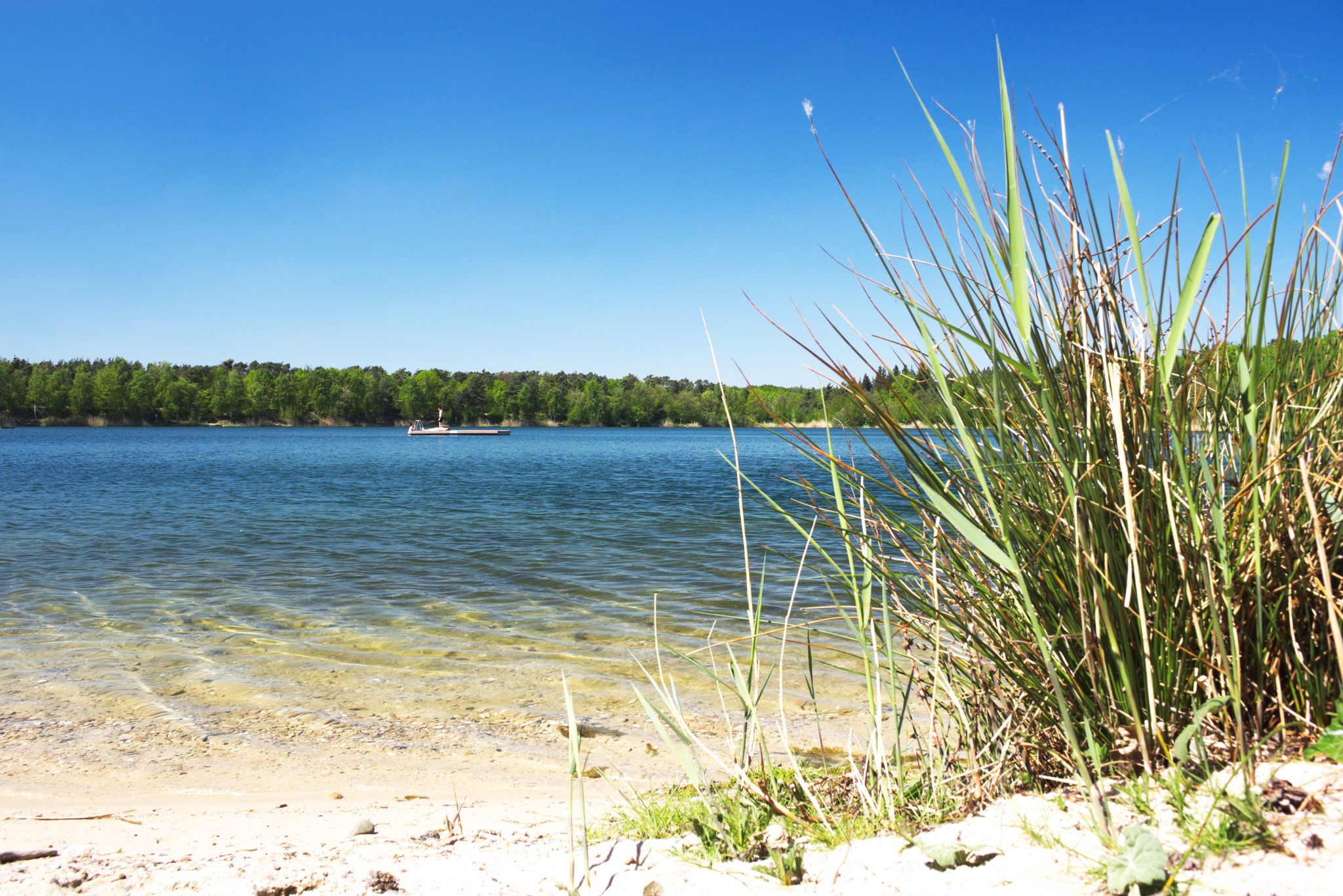
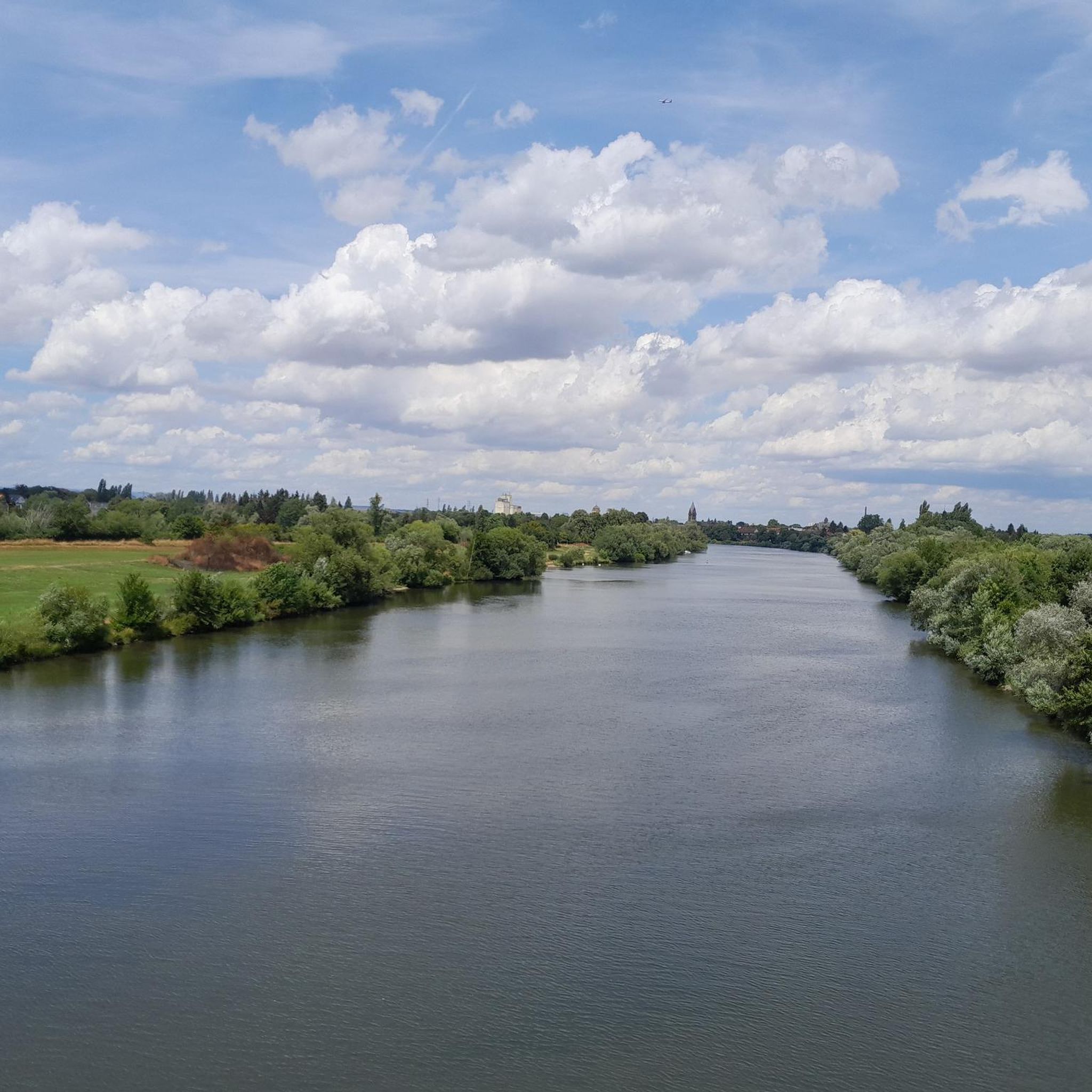
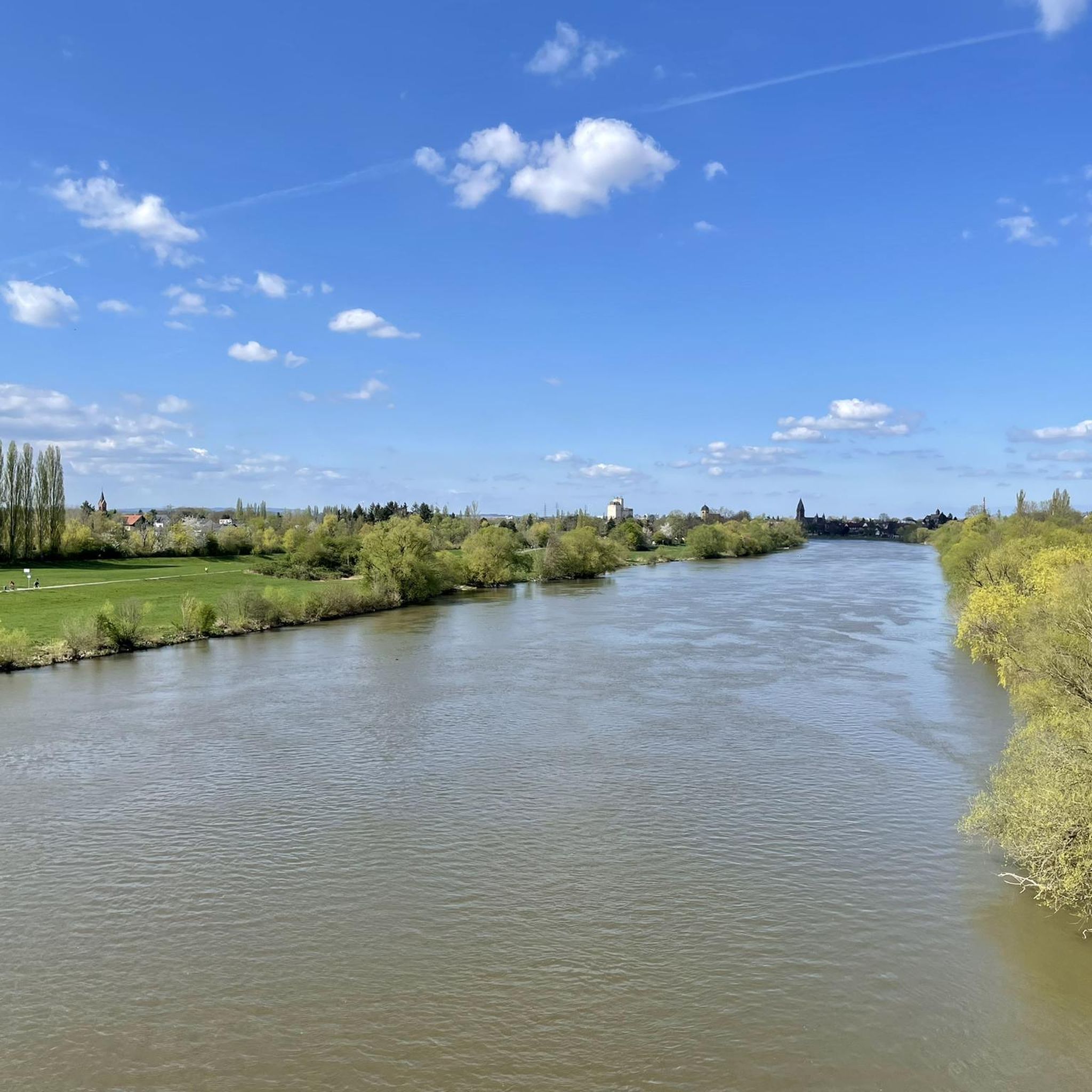
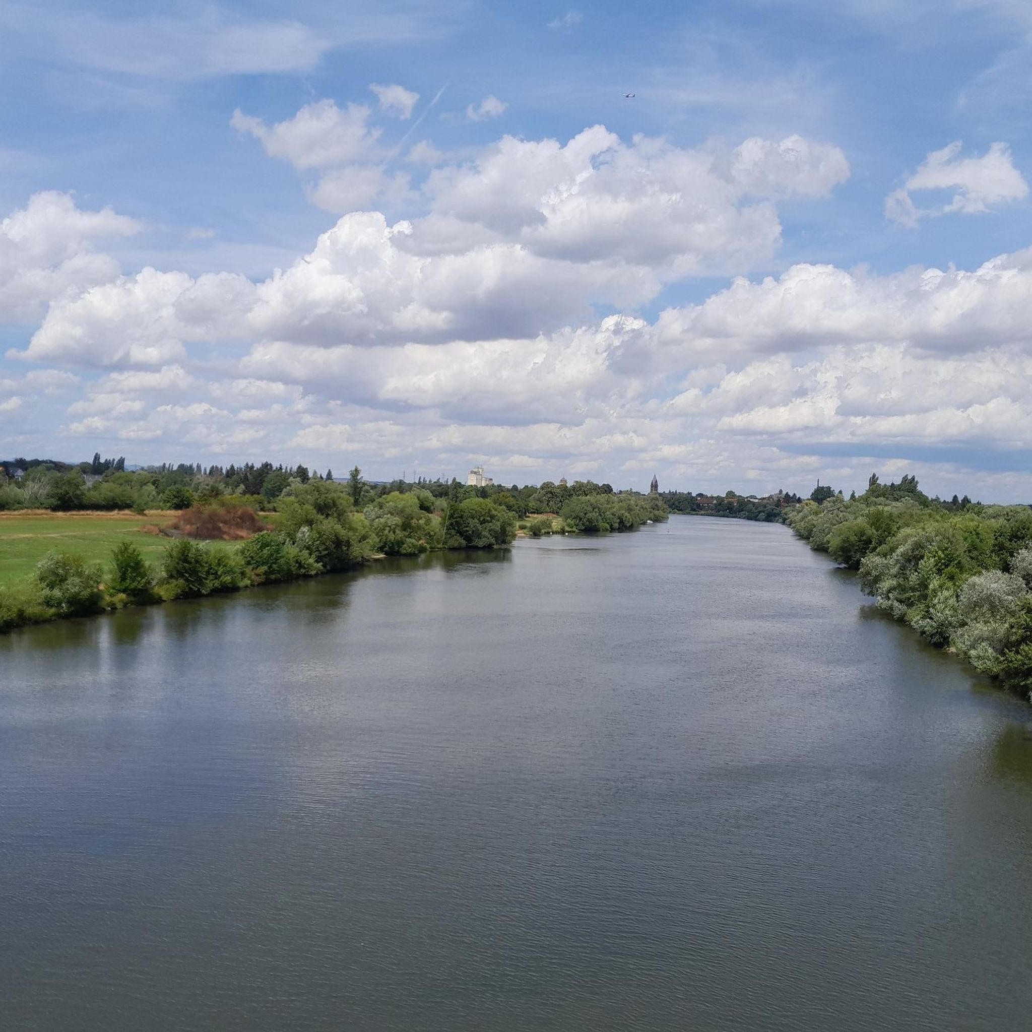
Hiking around Großkrotzenburg offers diverse landscapes shaped by the Main River and a system of lakes, including the Kahler Seenplatte. The region features riverside paths, forest trails, and areas with historical significance along the German Limes Road. Elevation changes are generally gentle, with routes primarily traversing flat to gently rolling terrain.
Best hiking trails around Großkrotzenburg
- The most popular hiking route is Schifflache near Großauheim – Beautiful forest path loop from Großkrotzenburg, a 3.3 miles (5.3 km) trail that…
Last updated: July 15, 2026
4.6
(10)
43
hikers
Easy hike. Great for any fitness level. Easily-accessible paths. Suitable for all skill levels.
4.4
(5)
26
hikers
Moderate hike. Good fitness required. Easily-accessible paths. Suitable for all skill levels.

Sign up for free
3.7
(3)
29
hikers
Easy hike. Great for any fitness level. Easily-accessible paths. Suitable for all skill levels.
4.8
(4)
33
hikers
Easy hike. Great for any fitness level. Easily-accessible paths. Suitable for all skill levels.
4.0
(1)
24
hikers
5.44km
01:23
10m
10m
Easy hike. Great for any fitness level. Easily-accessible paths. Suitable for all skill levels.
Get access to more routes and recommendations from other explorers.
Sign up for free
Already have an account?
Our route recommendations are based on thousands of hikes, rides, and runs completed by other people on komoot.
Start today with a free account
Your next adventure awaits.
Login or Signup

Other adventures around Großkrotzenburg

Tips from the Community

Here is a large biotope. You can find many different plants and animals.
0
0
After the asphalt surface renovation, it's really fun to cycle along here again, great.
1
0
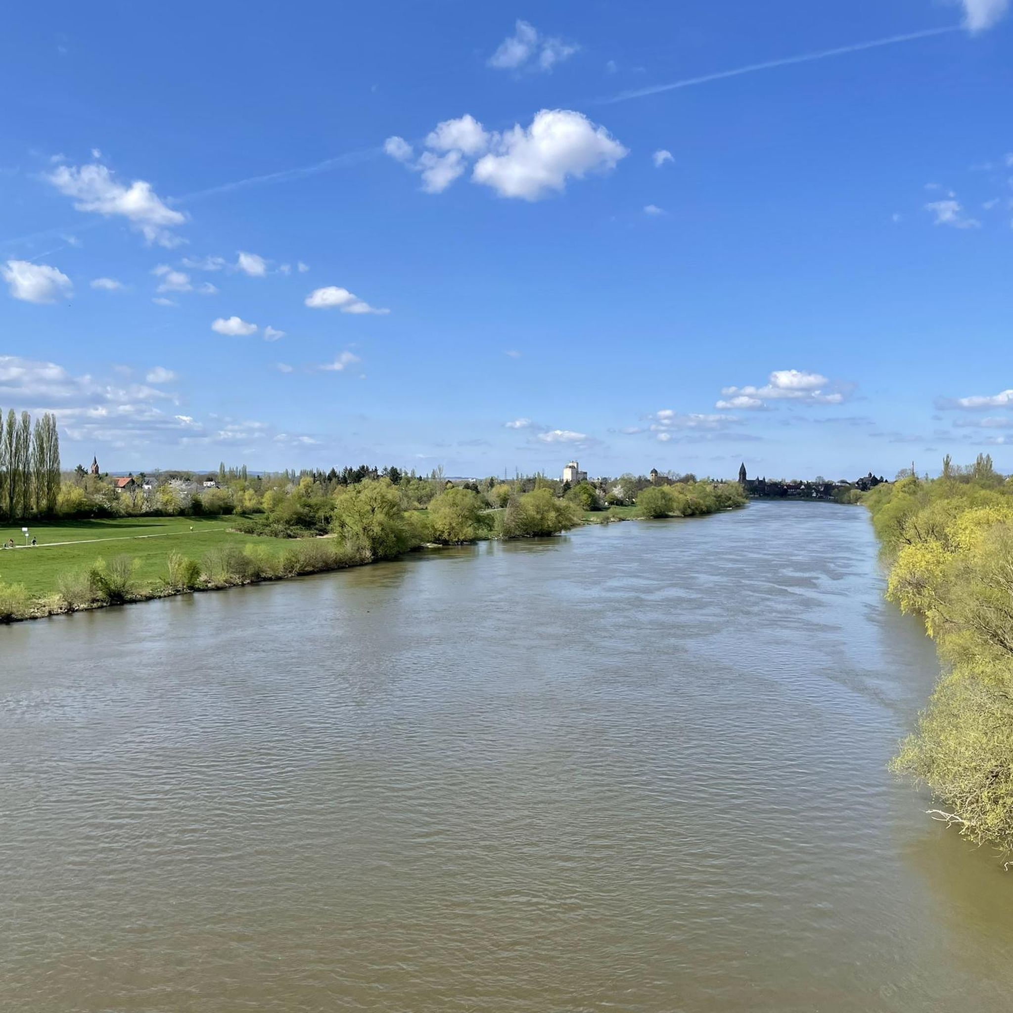
The footbridge at the Krotzenburg weir is publicly accessible, offering a good view of the Main river and the Staudinger power plant.
1
0

great location by the lake
1
0

A beautiful shared path for cyclists and pedestrians, please always show mutual consideration.
1
0
These and other benches line the banks of the Main River.
0
0
Several sculptures with a reference to the museum
0
0
The walk is always impressive, as is the view down into the depths of the roaring water, above the Großkrotzenburg lock.
0
0
Frequently Asked Questions
What kind of terrain can I expect on hiking trails around Großkrotzenburg?
Hiking around Großkrotzenburg primarily features flat to gently rolling terrain. You'll find diverse landscapes including picturesque riverside paths along the Main River, trails through the Kahler Seenplatte lake district, and forest paths. Elevation changes are generally gentle, making most routes accessible.
Are there any easy hiking trails suitable for beginners in Großkrotzenburg?
Yes, Großkrotzenburg offers many easy trails. Out of 66 available routes, 54 are classified as easy. An example is the Schifflache near Großauheim – Beautiful forest path loop from Großkrotzenburg, which is 3.3 miles (5.3 km) long and takes about 1 hour 20 minutes to complete.
What natural features and landmarks can I see while hiking in the area?
The region is rich in natural beauty and historical sites. You can explore the Main River, the Kahler Seenplatte lake district, and remnants of the Roman Limes. Notable landmarks include the Ludwig Tower (Hahnenkamm), which offers panoramic views, and the historic Seligenstadt Abbey and its old town, often visited by hikers along the Main River.
Are there family-friendly hiking options in Großkrotzenburg?
Yes, many of the easy trails are suitable for families. The gentle terrain and numerous circular paths make it enjoyable for all ages. Routes like the Emmerichshofen Lakeside Cabins – Schwanenufer Bridge loop from Großkrotzenburg, which is 3 miles (4.8 km) long, are great for a family outing.
Can I bring my dog on the hiking trails around Großkrotzenburg?
Most hiking trails in Großkrotzenburg are dog-friendly, provided your dog is kept on a leash. The varied landscapes, from riverside paths to forest loops, offer plenty of opportunities for you and your canine companion to enjoy the outdoors together.
Are there any circular walks available in Großkrotzenburg?
Yes, Großkrotzenburg features many circular walks, perfect for returning to your starting point. Examples include the View of Schloss Emmerichshofen – Lindensee (Kahler Lakes Plateau) loop from Großkrotzenburg, an 8.1 miles (13.1 km) moderate route, and the shorter Lowest point in Bavaria – Kahl estuary loop from Großkrotzenburg.
What is the best time of year to go hiking in Großkrotzenburg?
Großkrotzenburg is enjoyable for hiking throughout much of the year. Spring and autumn offer pleasant temperatures and beautiful scenery, with blooming flowers or vibrant fall foliage. Summer is also popular, especially around the lakes, while winter hikes can be peaceful, though some paths might be muddy or icy.
Where can I find parking for hiking trails in Großkrotzenburg?
Designated parking areas are available near many trailheads and popular starting points in Großkrotzenburg, especially close to the Main River and the lake areas. Specific parking information is often detailed on individual route descriptions on komoot.
Are there places to eat or stay near the hiking routes?
Yes, Großkrotzenburg and its surrounding areas offer various options for refreshments and accommodation. You can find cafes, pubs, and restaurants in the town center and sometimes along popular routes. For example, the Strandbad Spessartblick by the lake offers dining options, and the nearby Hahnenkamm Mountain Inn is a popular stop.
What do other hikers enjoy most about hiking in Großkrotzenburg?
The area is highly rated by the komoot community, with an average score of 4.1 stars from over 90 reviews. Reviewers often praise the diverse landscapes, from tranquil riverside paths to the scenic lake district, and the well-maintained trails that cater to various fitness levels.
Can I reach hiking trailheads in Großkrotzenburg using public transport?
Großkrotzenburg is connected by public transport, making it possible to reach various starting points for hikes without a car. Check local bus schedules for routes that serve areas close to the Main River, the lake district, or the town center, which often serve as access points for trails.
Most popular routes around Großkrotzenburg
Most popular attractions around Großkrotzenburg

Get inspired with the komoot mobile app


Explore more
Browse the best Hikes in other regions.
