The best walks and hikes around Großkarolinenfeld
4.4
(3628)
24,186
hikers
38
hikes
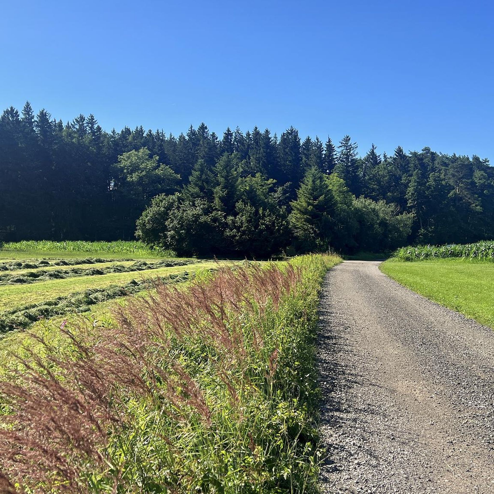
Hiking around Großkarolinenfeld offers access to diverse landscapes at the foot of the Bavarian Alps. The region features rolling hills, expansive green meadows, and meandering rivers. Trails also lead through forests and former moor areas, providing varied terrain for outdoor activities. Distant views of the Alpine panorama are accessible from various points along the routes.
Best hiking trails around Großkarolinenfeld
- The most popular hiking route is View of the Alps loop from Großkarolinenfeld, a 4.4 miles (7.1 km) trail…
Last updated: May 16, 2026
3.5
(6)
30
hikers
7.10km
01:49
30m
30m
Easy hike. Great for any fitness level. Easily-accessible paths. Suitable for all skill levels.
3.0
(2)
27
hikers
Easy hike. Great for any fitness level. Easily-accessible paths. Suitable for all skill levels.

Sign up for free
5.0
(1)
19
hikers
Easy hike. Great for any fitness level. Easily-accessible paths. Suitable for all skill levels.
21
hikers
Easy hike. Great for any fitness level. Easily-accessible paths. Suitable for all skill levels.
4.0
(2)
16
hikers
5.17km
01:20
20m
20m
Easy hike. Great for any fitness level. Easily-accessible paths. Suitable for all skill levels.
Get access to more routes and recommendations from other explorers.
Sign up for free
Already have an account?
Our route recommendations are based on thousands of hikes, rides, and runs completed by other people on komoot.
Start today with a free account
Your next adventure awaits.
Login or Signup
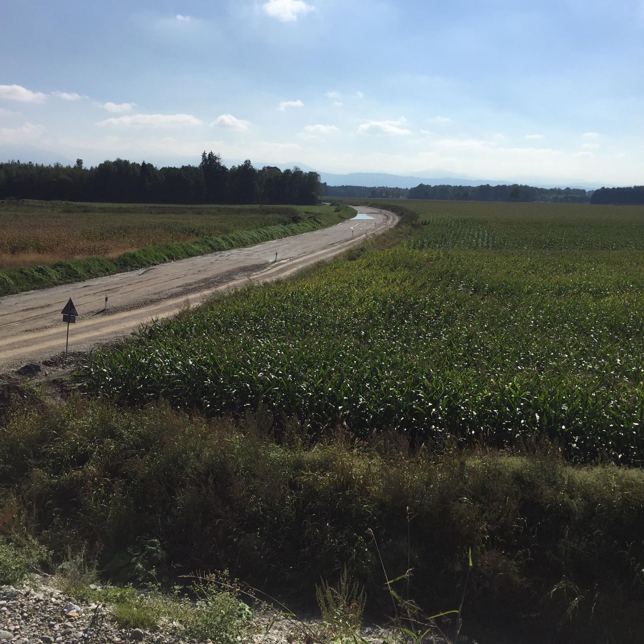
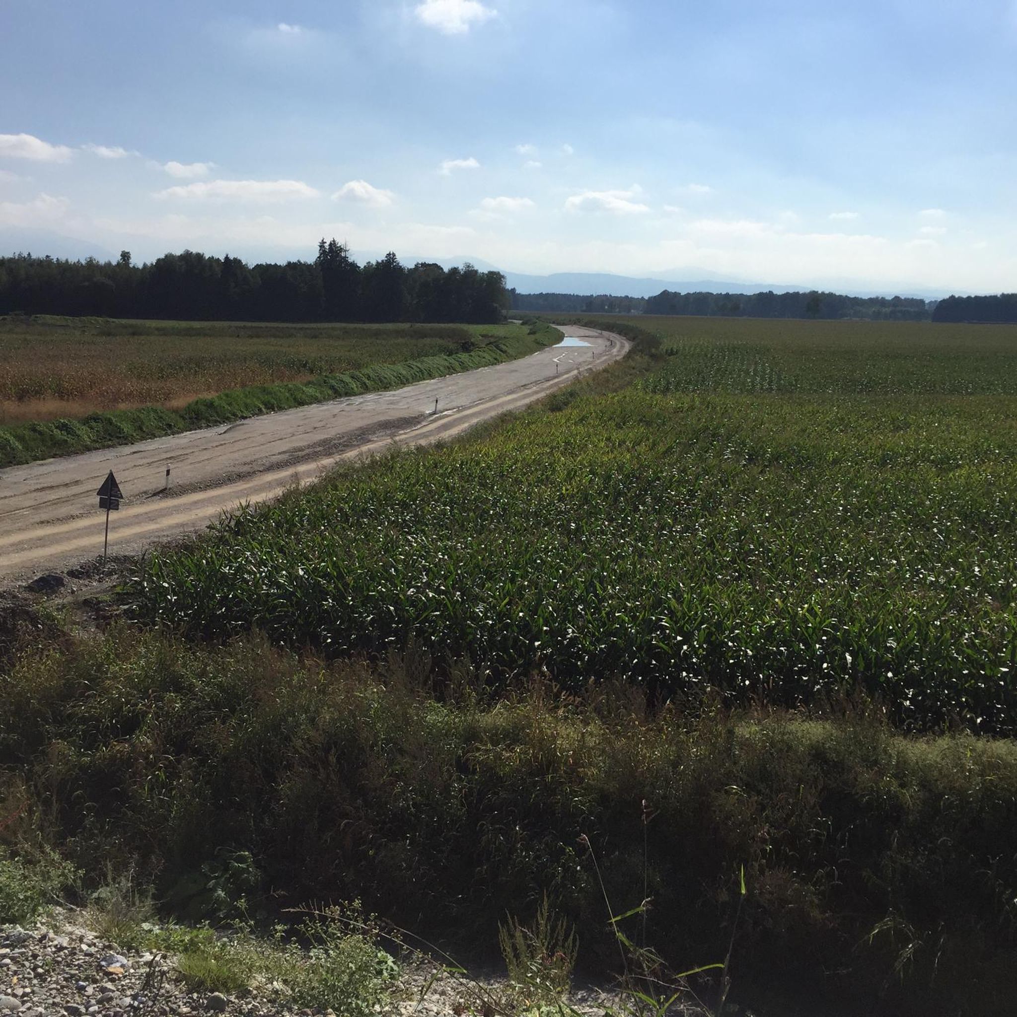
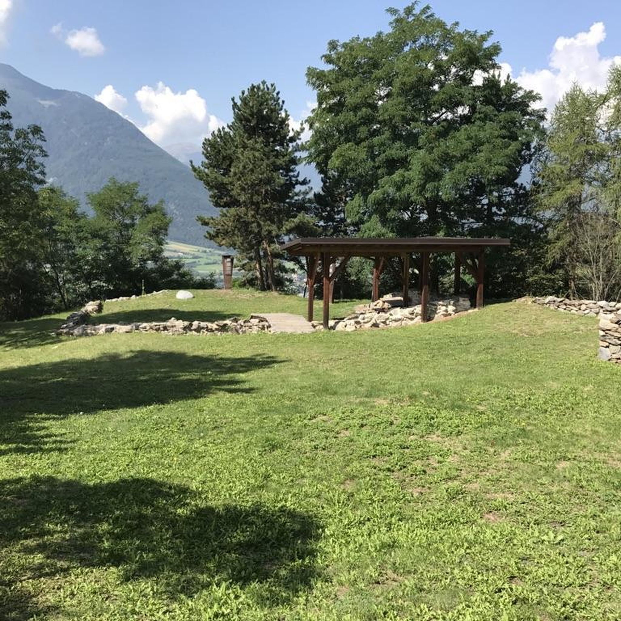
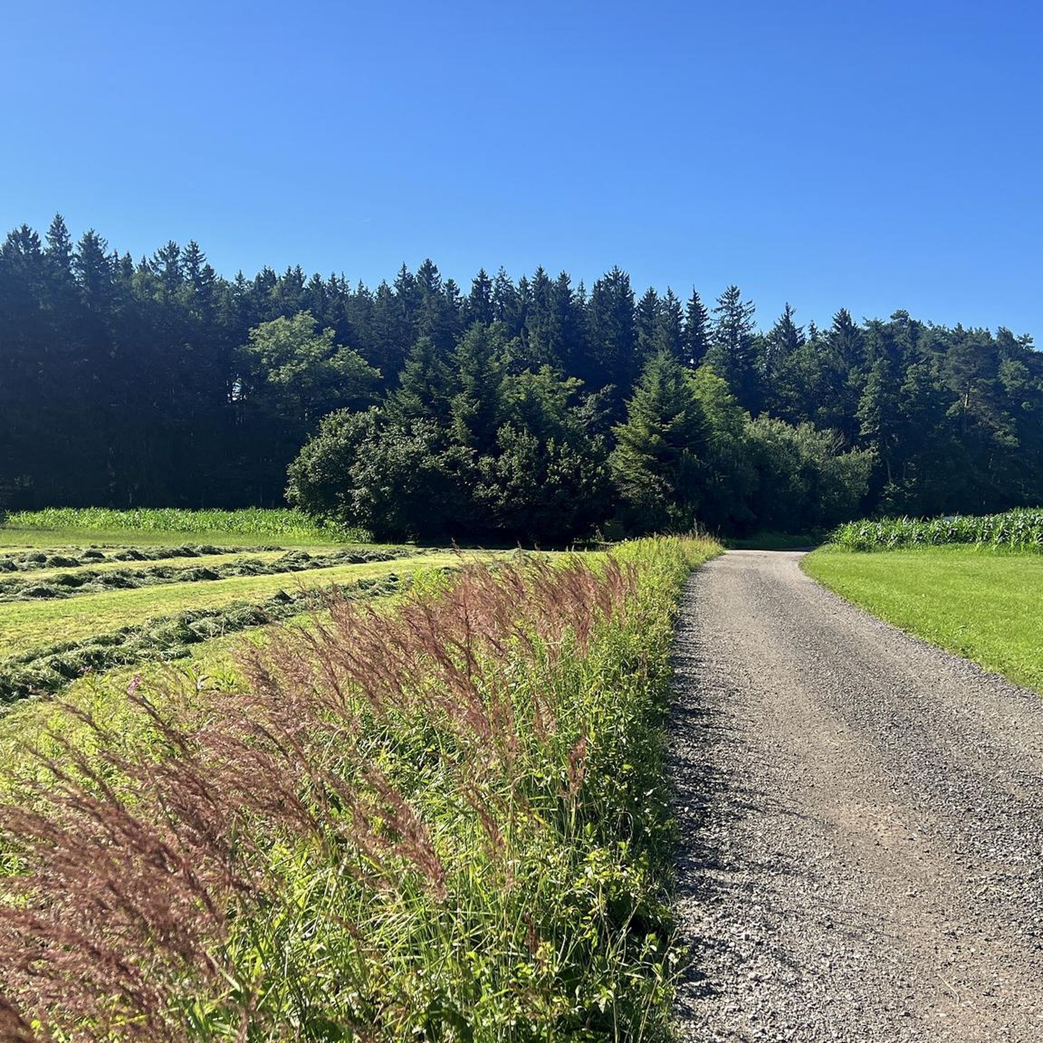
Tips from the Community

I've never seen figures carved on wooden strips like that before!
0
0

A very nice resting place
3
0

Also available in all pharmacies.
1
0

Perfect for a break, with a beautiful panorama
1
0
Very nice rest area, great for a break!
3
0
Even without sunset, the best view.
1
0
Frequently Asked Questions
How many hiking trails are available around Großkarolinenfeld?
There are over 35 hiking trails around Großkarolinenfeld, offering a diverse range of experiences. Most of these, about 27, are considered easy, making the region accessible for various fitness levels.
What kind of landscapes can I expect to see while hiking in Großkarolinenfeld?
Großkarolinenfeld offers a varied landscape, from gently rolling hills and expansive green meadows to meandering rivers and serene forests. You can also find trails through former moor areas. Many routes provide distant views of the Bavarian Alps, including the 'sleeping Jungfrau'.
Are there any family-friendly hiking options in Großkarolinenfeld?
Yes, the region has many easy trails suitable for families. The Wald-Filzen Trail – Scenic Pond Trail loop from Aschach is a great option, winding through forests and past scenic ponds. The Lake Simssee Nature Trail is also particularly appealing for families, offering interactive stations for children.
What are the best times of year to go hiking in Großkarolinenfeld?
The best seasons for hiking in Großkarolinenfeld are spring and autumn. During these times, the weather is mild, and nature is at its most vibrant. Spring brings blooming flowers, while autumn transforms the deciduous forests into a colorful spectacle.
Are there any circular hiking routes in the area?
Yes, many routes in Großkarolinenfeld are circular. For example, the Entenhof Grosskaro – Meandering Rott River loop from Großkarolinenfeld is an easy 3.6 km circular path along the Rott River, perfect for a leisurely walk.
What interesting landmarks or natural attractions can I discover on a hike?
You can explore several interesting points. Consider visiting the Confluence of the Inn and the Mangfall, or the St. Leonhard's Spring. For birdwatching, the Stonechat Trail Birdwatching Station is a great spot. The Simssee Lakeside Trail also offers beautiful views and insights into the local ecosystem.
Are there any challenging hikes for experienced trekkers?
While many trails are easy, Großkarolinenfeld's proximity to the Bavarian Alps means more challenging alpine tours are accessible. Within the immediate area, there are 9 moderate routes and 1 difficult route for those seeking more strenuous options, often involving more elevation gain.
What do other hikers say about the trails in Großkarolinenfeld?
The hiking routes in Großkarolinenfeld are highly rated by the komoot community, with an average score of 4.3 stars from over 20 reviews. Hikers often praise the diverse terrain, from riverine paths to views of the Alps, and the well-maintained trails suitable for various abilities.
Can I find routes that offer views of the Alps?
Absolutely. Many trails in the region provide stunning distant views of the Alpine panorama. The Entenhof Grosskaro – View of the Alps loop from Großkarolinenfeld is a great example, offering picturesque vistas of the mountains.
Are there any historical sites accessible by hiking?
Yes, for those interested in history, an adventure awaits with the ascent to the Falkenstein castle ruins. This historical site is perched on a hill above Großkarolinenfeld and rewards hikers with impressive panoramic views of the surrounding valley, despite a steep climb.
Are there trails that follow rivers or lakes?
Yes, the region is characterized by sparkling rivers and lakes. The Meandering Rott River – Entenhof Grosskaro loop from Großkarolinenfeld follows the Rott River. Additionally, the Lake Simssee Nature Trail offers a scenic route along its shore, providing insights into local flora and fauna.
Most popular routes around Großkarolinenfeld
Most popular attractions around Großkarolinenfeld

Get inspired with the komoot mobile app


Explore more
Browse the best Hikes in other regions.
