The best cycling routes around Großharrie
4.5
(3674)
15,771
riders
1,150
rides
Touring cycling around Großharrie offers a network of routes through a predominantly flat landscape, characterized by open fields, small woodlands, and waterways. The region features several lakes and rivers, such as Lake Einfeld and the Stör, providing scenic backdrops for rides. Elevation changes are minimal, making the area suitable for various fitness levels.
Best touring cycling routes around Großharrie
- The most popular touring cycling route is Linden Avenue in Fiefharrie – Lake Einfeld loop from Großharrie, a 12.4 miles…
Last updated: May 9, 2026
3.0
(1)
7
riders
Easy bike ride. Great for any fitness level. Mostly paved surfaces. Suitable for all skill levels.
5.0
(1)
10
riders
6.77km
00:23
10m
10m
Easy bike ride. Great for any fitness level. Mostly paved surfaces. Suitable for all skill levels.

Sign up for free
5.0
(1)
5
riders
9.81km
00:43
20m
20m
Easy bike ride. Great for any fitness level. Mostly paved surfaces. Suitable for all skill levels.
5
riders
Moderate bike ride. Good fitness required. Mostly paved surfaces. Suitable for all skill levels.
5.0
(4)
6
riders
Easy bike ride. Great for any fitness level. Mostly paved surfaces. Suitable for all skill levels.
Get access to more routes and recommendations from other explorers.
Sign up for free
Already have an account?
Our route recommendations are based on thousands of hikes, rides, and runs completed by other people on komoot.
Start today with a free account
Your next adventure awaits.
Login or Signup

Tips from the Community

The information center seemed very deserted on a weekend at the end of November. It's probably only open seasonally. But: the information center does indeed exist. It's likely more active during the summer months.
0
0

Mega for gravel or road bike
0
0

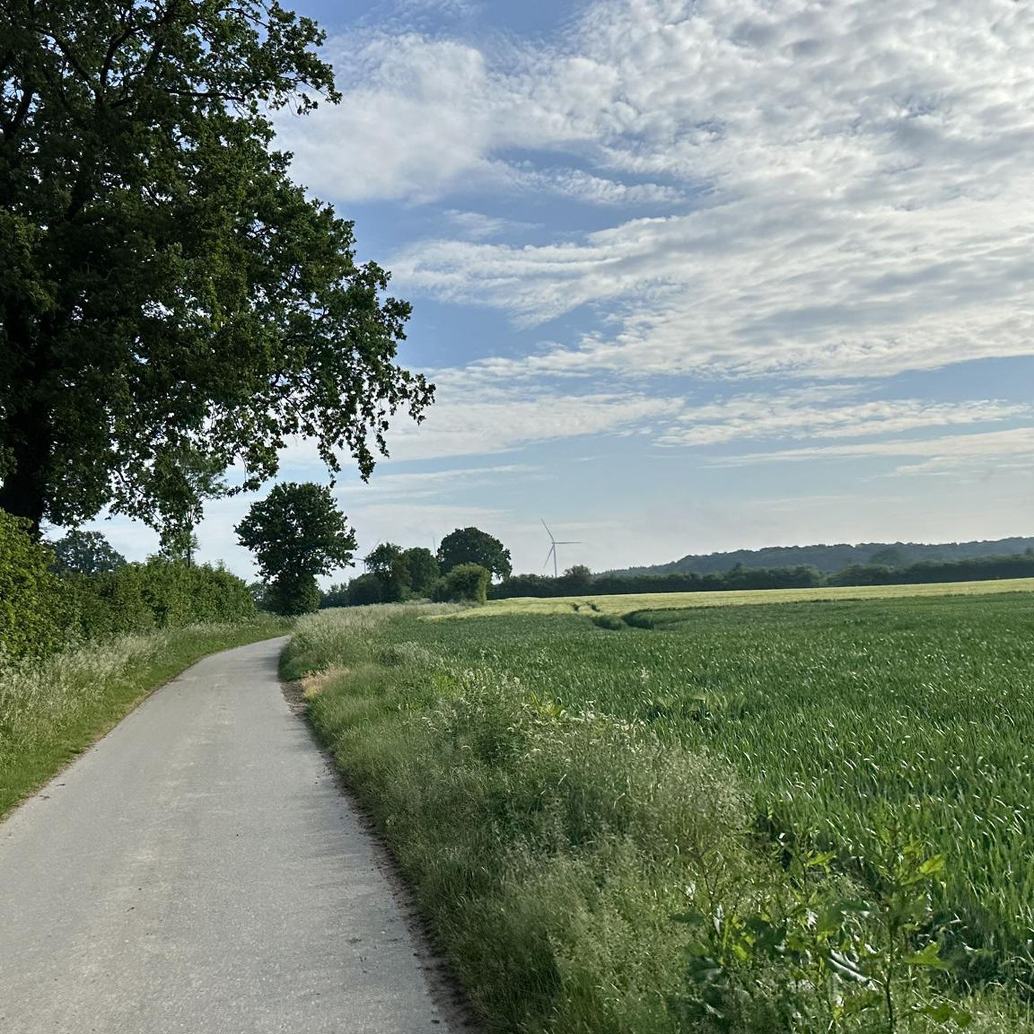
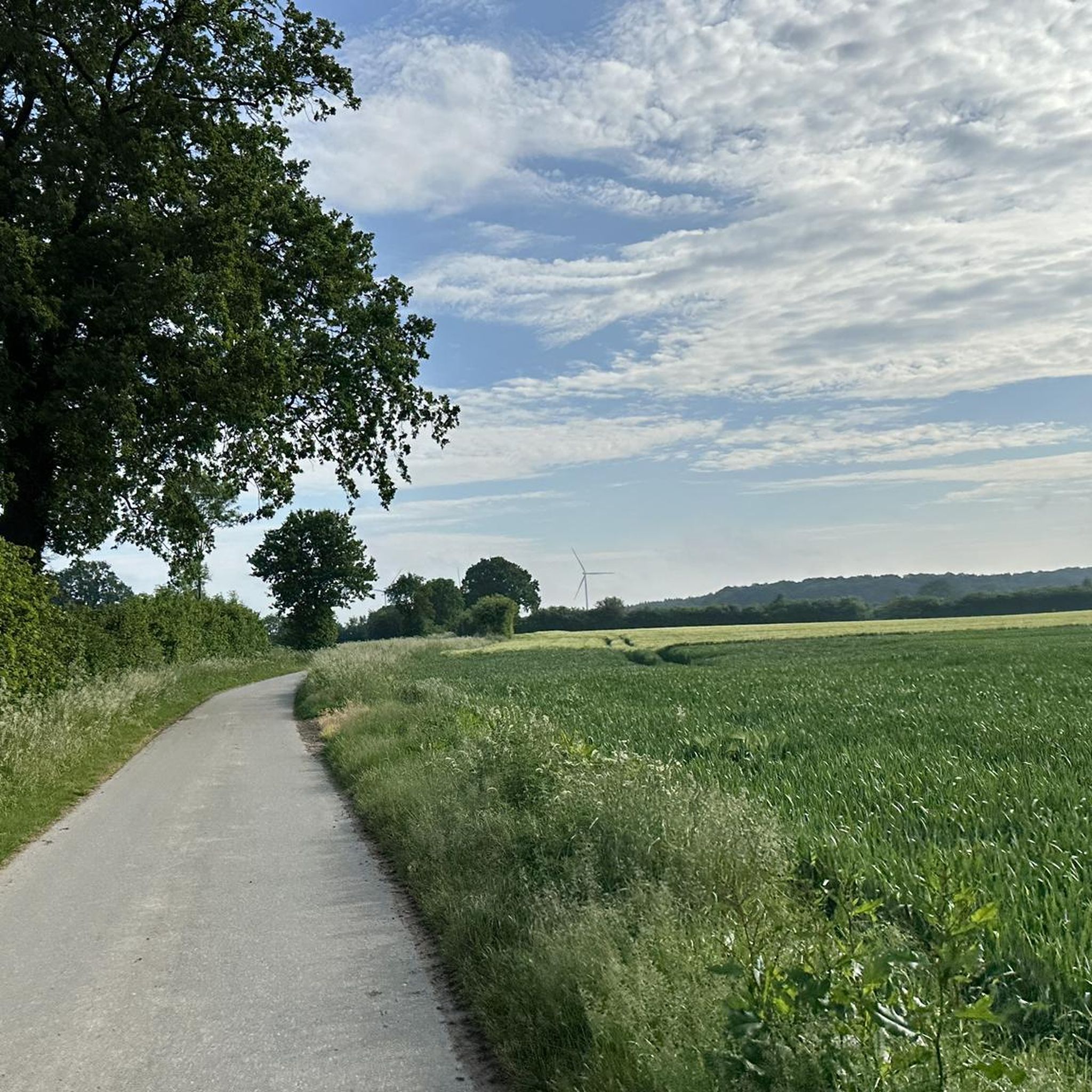
A very nice alternative to the Tasdorfer Weg to Bönebüttel. Well-traveled asphalt road, past meadows, fields, and through the forest, crossing the Brammau River.
0
0
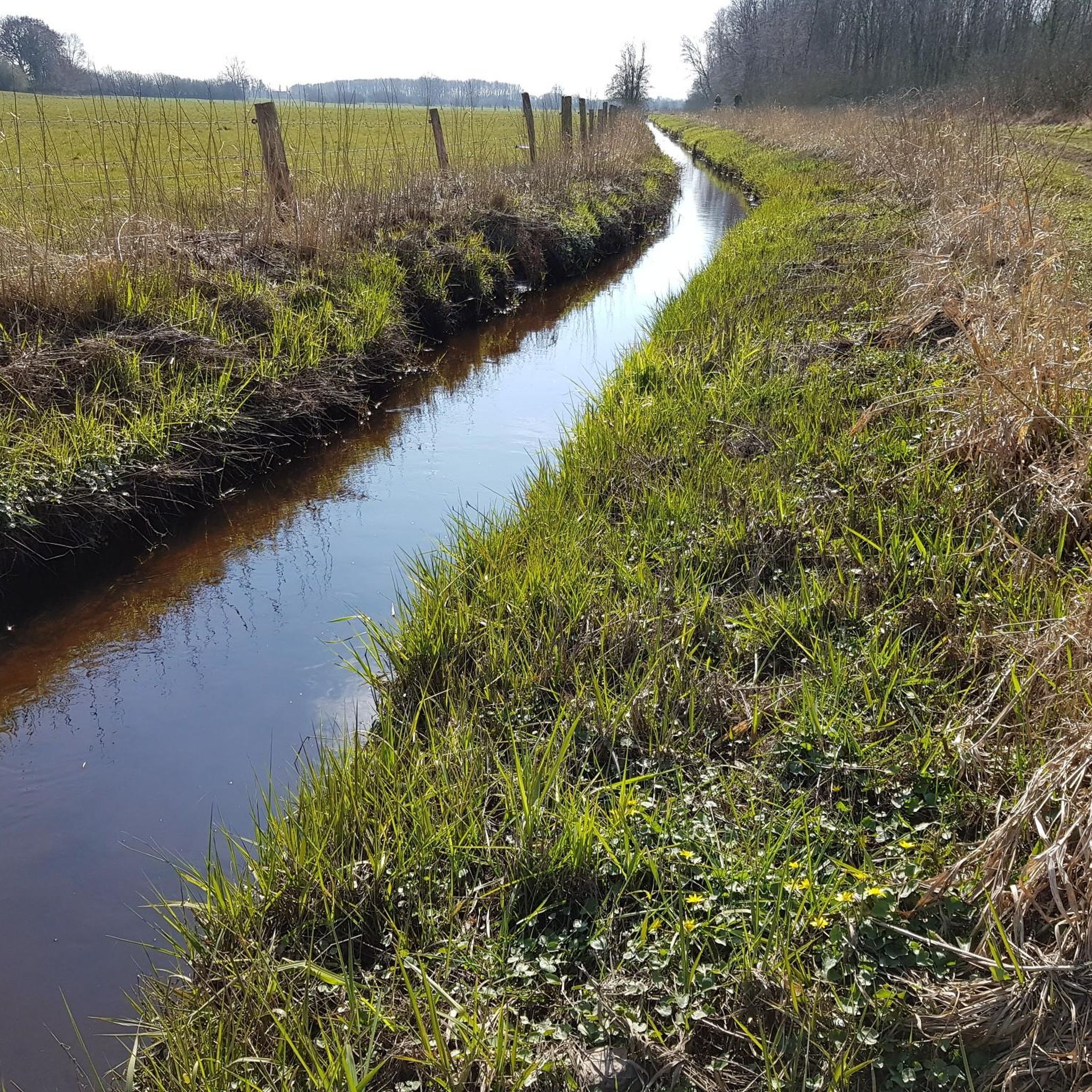
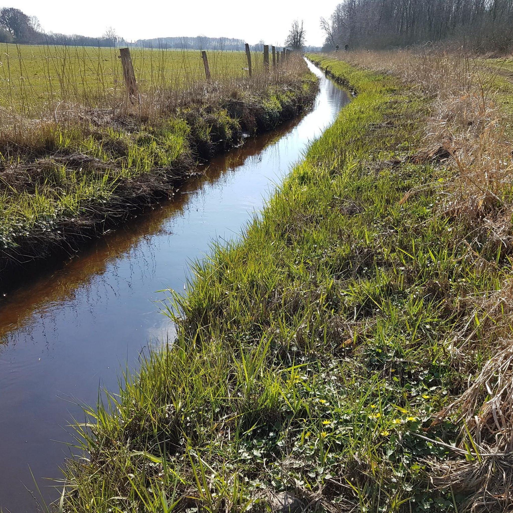
The entrance is on Einfelder Straße on the route between Großharrie and Einfeld. The route runs along the Dosenbek River. On one side is the moor, and on the other, meadows and fields. From the path that runs around the outside of the moor, several paths lead into the moor or into the Wattenbek woods. In bad, especially rainy, weather, this path can sometimes be flooded or very muddy.
0
0


Impressive moorland landscape. A bit bumpy to drive.
1
0

The Dosenmoor nature reserve in the north of Neumünster is the largest and best preserved raised bog in Schleswig-Holstein! A walk around the most beautiful paths: 120 minutes by foot or 30 minutes by bike, past cotton grass, bell heather, sundew, peat pits and hand-cut peat. The Dosenmoor near Neumünster-Einfeld is considered the best preserved Atlantic plateau raised bog in Schleswig-Holstein and also the largest raised bog in the eastern hill country. The nature reserve, which was secured by state ordinance in 1981, still has its full and original size of 521 hectares. This means that the raised bog is still clearly recognizable as such in the landscape today. In addition, standing in the centre, you can also experience the hourglass-shaped bulge of the treeless raised bog, which rises above the surrounding landscape. Since the 18th century, peat has also been used by farmers in Dosenmoor, and with it a continuous, deep-reaching
1
0

Beautiful, easy-to-ride path that takes you past wide fields, meadows and over the Schwale.
0
0
Frequently Asked Questions
How many touring cycling routes are available around Großharrie?
Großharrie offers a wide selection of touring cycling routes, with over 1,100 options recorded on komoot. More than 780 of these are rated as easy, making the region very accessible for various skill levels.
Are there easy touring bike routes suitable for beginners or families in Großharrie?
Yes, Großharrie is well-suited for beginners and families due to its predominantly flat terrain. An excellent option is the Tailwind Last Curve loop from Tasdorf, which is an easy 6.7 km ride, perfect for a relaxed outing.
What are the best routes for scenic views or natural attractions?
For scenic views and natural attractions, consider routes that pass by the region's lakes and nature reserves. The Linden Avenue in Fiefharrie – Lake Einfeld loop from Großharrie offers beautiful vistas of Lake Einfeld. Another great choice is the Trail at Dosenmoor – Dosenmoor Boardwalk loop from Großharrie, which takes you through the unique Dosenmoor Nature Reserve and its Boardwalk.
Are there any circular touring cycling routes in Großharrie?
Many of the touring cycling routes in Großharrie are circular, offering convenient starting and ending points. Examples include the Linden Avenue in Fiefharrie – Scenic Countryside Path loop from Negenharrie, an easy 6 km loop, and the Kleine Schwalebrücke – Shaded Rest Area by the Stör loop from Tasdorf, a moderate 30.9 km option along the Stör river.
What is the best time of year for touring cycling in Großharrie?
The best time for touring cycling in Großharrie is generally from spring through early autumn (April to October). During these months, the weather is typically mild, and the landscape is vibrant. The flat terrain makes it enjoyable even in cooler shoulder seasons.
What kind of terrain can I expect on touring cycling routes in Großharrie?
The terrain around Großharrie is predominantly flat, characterized by open fields, small woodlands, and waterways. You'll find minimal elevation changes, making it an ideal region for relaxed touring cycling. Routes often follow rivers like the Stör and pass by lakes such as Lake Einfeld.
Are there places to rest or find shelter along the routes?
Yes, the region offers several designated rest areas and shelters. For instance, the Kleine Schwalebrücke – Shaded Rest Area by the Stör loop from Tasdorf specifically leads to a shaded rest area. You can also find shelters like the Shelter at Viehteich or the Shelter at the west shore of Bordesholmer See.
What do other touring cyclists say about the routes in Großharrie?
The touring cycling routes in Großharrie are highly regarded by the komoot community, holding an average rating of 4.5 stars from over 3,400 reviews. Cyclists frequently praise the region's flat, accessible terrain, the scenic beauty of its lakes and rivers, and the well-maintained paths that make for enjoyable rides.
Are there any longer touring cycling routes for more experienced riders?
While Großharrie is known for its flat and accessible routes, there are longer options for those seeking more distance. The Kleine Schwalebrücke – Shaded Rest Area by the Stör loop from Tasdorf is a moderate 30.9 km route, offering a good distance for experienced riders while still enjoying the region's characteristic flat landscape.
Can I find places to eat or drink along the touring cycling routes?
While specific cafes are not listed for every route, the region around Großharrie, with its small towns and villages, often provides opportunities to find local eateries or cafes. Planning your route to pass through these settlements will increase your chances of finding refreshments.
What are some notable landmarks or points of interest to look out for?
Beyond the natural beauty, you might encounter interesting landmarks. The Ochsenweg Sculpture and Rest Area near Neumünster is a unique point of interest. The region's history is also reflected in various smaller monuments and traditional architecture found in the villages.
Most popular routes around Großharrie
Most popular attractions around Großharrie

Get inspired with the komoot mobile app


Explore more
Browse the best Cycling routes in other regions.
