The best road cycling routes in Dolega
4.8
(13)
179
riders
12
rides
Road cycling routes in Dolega, a district in Panama's western Chiriquí Province, feature diverse landscapes and natural characteristics. The region is characterized by hilly terrain, offering numerous climbs for cyclists. Views of Volcán Barú and the Continental Divide are visible on clear days, complementing routes through rural countryside with pasture lands and fields. This area provides a variety of road cycling options for different skill levels.
Best road cycling routes in Dolega
- The most popular road cycling route is Punta…
Last updated: July 1, 2026
3.7
(3)
47
riders
52.7km
02:34
740m
740m
Moderate road ride. Good fitness required. Some segments of this route may be unpaved and difficult to ride.
5.0
(3)
31
riders
47.8km
02:06
350m
350m
Moderate road ride. Good fitness required. Mostly well-paved surfaces and easy to ride.

Sign up for free
5.0
(1)
18
riders
45.9km
01:58
380m
380m
Moderate road ride. Good fitness required. Mostly well-paved surfaces and easy to ride.
5.0
(2)
14
riders
69.2km
03:16
520m
520m
Moderate road ride. Good fitness required. Some segments of this route may be unpaved and difficult to ride.
14
riders
21.2km
01:10
420m
420m
Moderate road ride. Good fitness required. Some segments of this route may be unpaved and difficult to ride.
5.0
(1)
6
riders
36.8km
01:34
270m
270m
Easy road ride. Great for any fitness level. Mostly well-paved surfaces and easy to ride.
5.0
(1)
4
riders
24.9km
01:33
680m
670m
Moderate road ride. Good fitness required. Mostly well-paved surfaces and easy to ride.
6
riders
56.2km
02:52
390m
390m
Moderate road ride. Good fitness required. Some segments of this route may be unpaved and difficult to ride.
4
riders
80.0km
03:27
520m
520m
Moderate road ride. Good fitness required. Mostly well-paved surfaces and easy to ride.
2
riders
67.2km
04:00
1,520m
1,520m
Hard road ride. Very good fitness required. Mostly well-paved surfaces and easy to ride.
Get access to more routes and recommendations from other explorers.
Sign up for free
Already have an account?
Our route recommendations are based on thousands of hikes, rides, and runs completed by other people on komoot.
Start today with a free account
Your next adventure awaits.
Login or Signup
Popular around Dolega
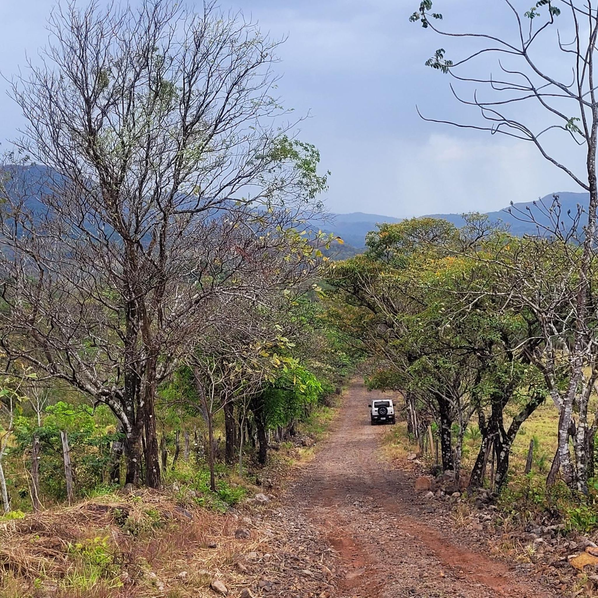



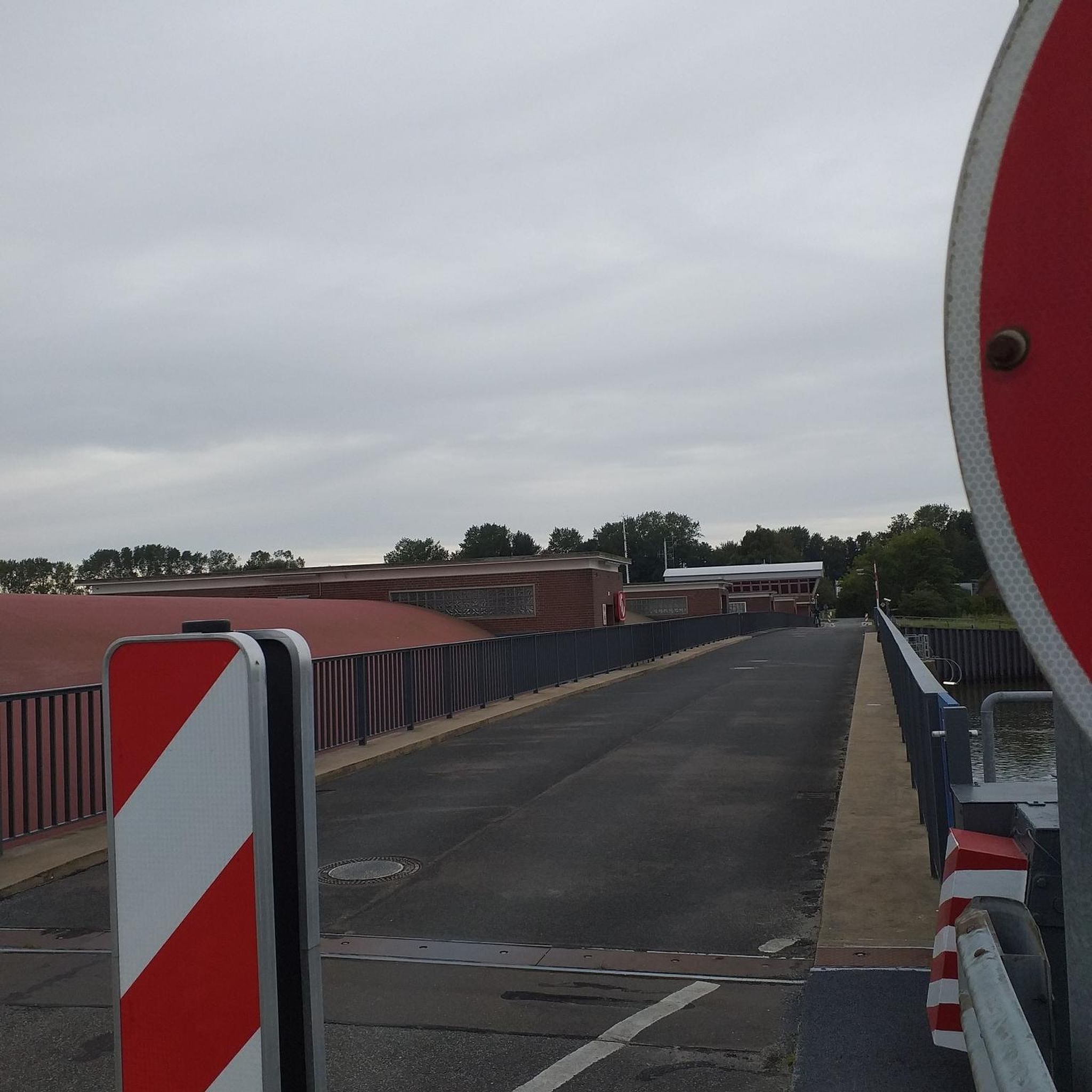
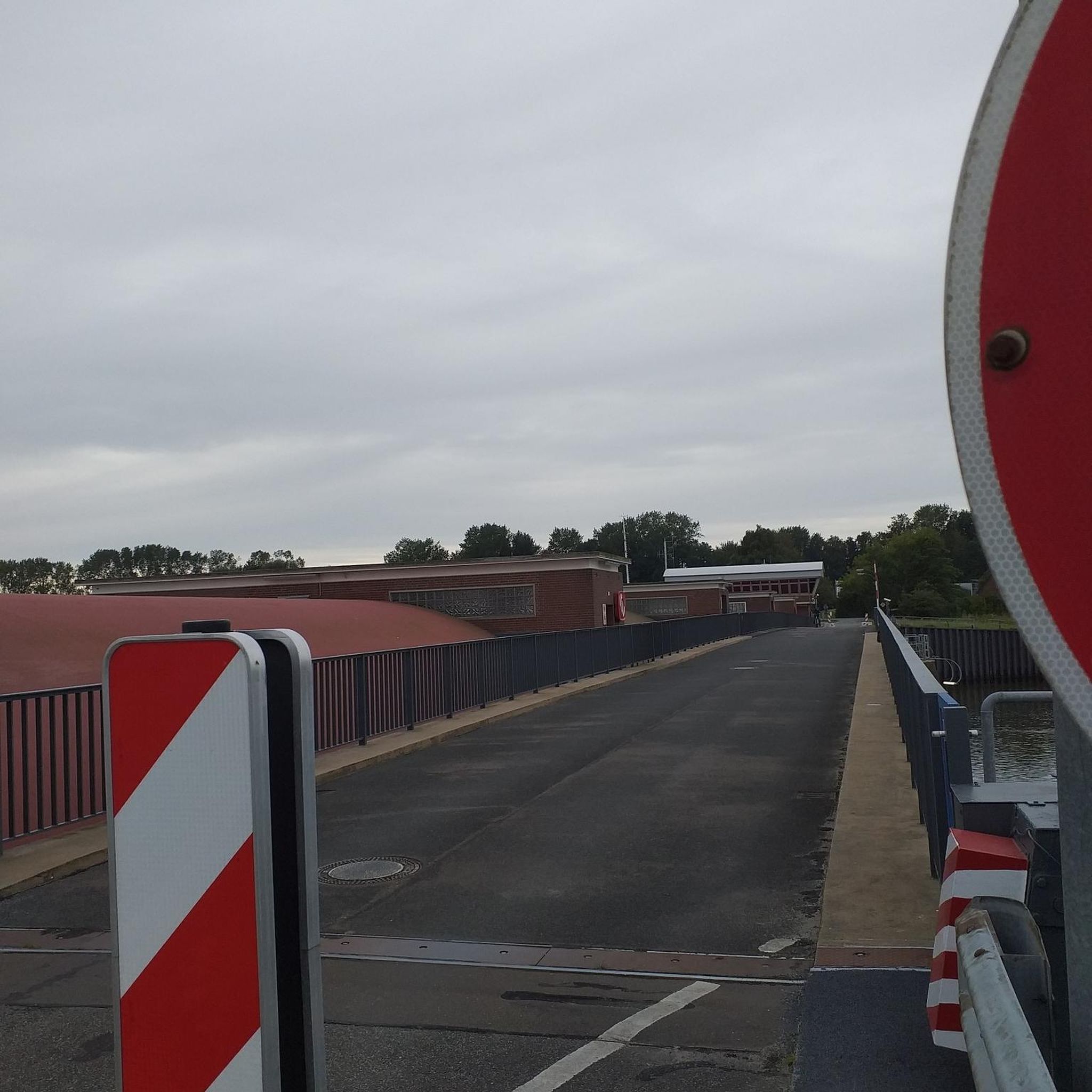
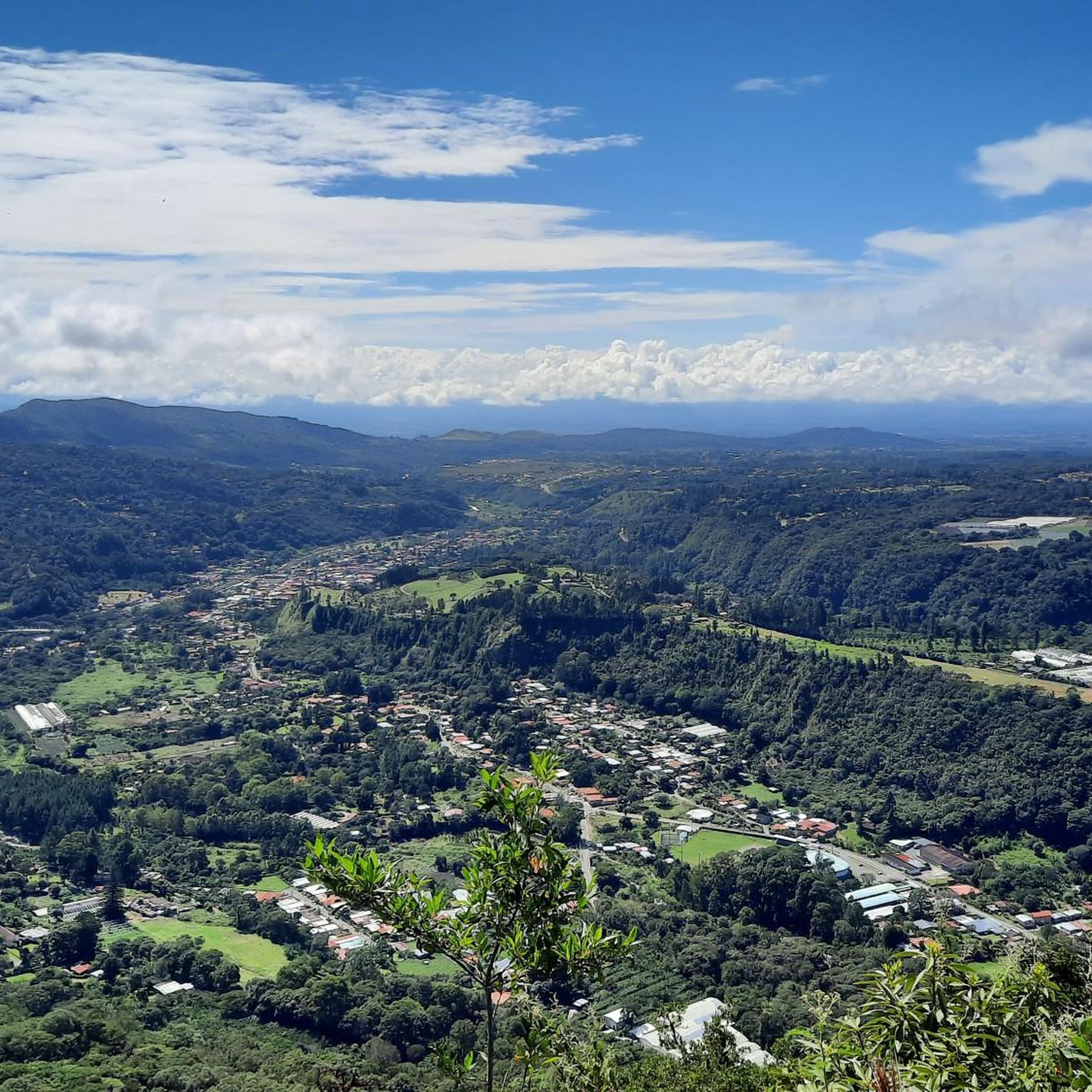



Tips from the Community

Lots of water, it's hot
1
0

In order to safely cross the river, which is well filled when it rains, you will find another beautiful suspension bridge at this point. By the way, it is also suitable as a great photo spot.
0
1
Frequently Asked Questions
How many road cycling routes are available in Dolega?
Dolega offers a diverse selection of over 10 road cycling routes, catering to various skill levels. These routes explore the region's hilly terrain, rural landscapes, and scenic viewpoints.
What kind of terrain can I expect on road cycling routes in Dolega?
The region around Dolega is characterized by its hilly terrain, providing numerous challenging climbs. You'll cycle through expansive pasture lands with cattle and horses, fields of plantings and flowers, and along roads lined with flowering trees. On clear days, routes offer stunning views of Volcán Barú and the rugged peaks of the Continental Divide.
Are there routes suitable for beginners or less experienced road cyclists?
Yes, Dolega includes routes suitable for less experienced cyclists. For example, the Roadbike loop from El Cabrero is an easy 36.8 km path with moderate elevation gain, offering a pleasant ride through the area.
Which routes offer challenging climbs for experienced cyclists?
Experienced cyclists seeking a challenge will find several routes with significant elevation. The Punta Burica Lighthouse loop from Mata de Nance is a moderate route covering 53.5 km with over 740 meters of elevation gain. The region is known for climbs like the Vía Boquete and Puente Rio de Dolega - Caño de Dolega, which feature varying gradients and distances.
Can I find routes with scenic views in Dolega?
Absolutely. Many routes in Dolega offer breathtaking panoramic views. You can expect to see the majestic outline of Volcán Barú to the north and the rugged peaks of the Continental Divide to the east on clear days. The rural countryside itself, with its flowering trees and open pastures, provides a visually appealing backdrop for your ride.
Are there any long-distance road cycling routes in Dolega?
For those looking for longer rides, Dolega has several options. The Alanje Sign loop from Algarrobos Arriba is a substantial 80 km route, while the Roadbike loop from Mata de Nance covers nearly 70 km, both offering extensive exploration of the region.
What do other cyclists say about road cycling in Dolega?
The road cycling routes in Dolega are highly regarded by the komoot community, boasting an impressive average rating of 4.8 out of 5 stars from over 10 reviews. Cyclists frequently praise the diverse landscapes, the challenging climbs, and the serene rural atmosphere.
Are there loop routes available for road cycling in Dolega?
Yes, many of the road cycling routes in Dolega are designed as loops, allowing you to start and finish at the same point. Popular loop options include the Roadbike loop from Ojo de Agua and the Roadbike loop from Hertz, both offering balanced rides through varied scenery.
What is the best time of year for road cycling in Dolega?
While specific seasonal data isn't provided, the region's appeal with clear views of Volcán Barú suggests that drier periods would be ideal for road cycling. Panama's climate generally features a dry season from December to April, which might offer the most comfortable conditions for exploring Dolega's routes.
Are there any specific landmarks or natural features to look out for along the routes?
Beyond the stunning views of Volcán Barú and the Continental Divide, you'll encounter a charming rural countryside. Keep an eye out for shaded areas alongside flowing streams within the town of Dolega, and enjoy the deserted roads often lined with beautiful flowering trees, particularly in areas like Dolega Majagua.
Are there any moderate difficulty routes that offer a good balance of challenge and scenery?
Yes, the majority of routes in Dolega are classified as moderate, providing a great balance. The Cool bridge loop from Alto Boquete is a moderate 21.2 km route with over 400 meters of elevation, offering a scenic and engaging ride without being overly strenuous.
Can I find routes that start from different points within the Dolega area?
The routes in Dolega originate from various points, allowing for flexible starting locations. You can find loops starting from Mata de Nance, Ojo de Agua, Hertz, El Cabrero, Algarrobos Arriba, Alto Boquete, and Bajo Boquete, providing diverse access to the region's cycling network.

Get inspired with the komoot mobile app


Didn’t find what you were looking for?
Check out more Road cycling routes throughout Dolega below and find the perfect route in your destination.
