The best walks and hikes around Großhabersdorf
4.4
(178)
807
hikers
89
hikes
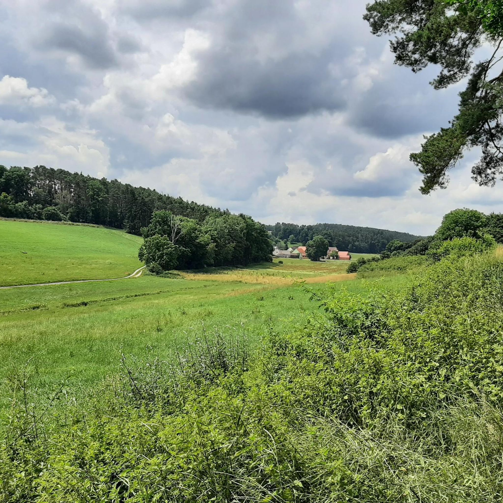
Hiking around Großhabersdorf offers diverse outdoor experiences within the Franconian countryside, characterized by green forests, gentle hills, and idyllic fields. The region features the scenic Bibert Valley and the Habruck Gravel Lake, providing varied natural settings for exploration. Elevations are generally moderate, with routes traversing a mix of open landscapes and wooded areas.
Best hiking trails around Großhabersdorf
- The most popular hiking route is Weihersmühlbach Trail – View of Wendsdorf loop from Bürglein, a 4.0 miles (6.5 km) trail…
Last updated: July 5, 2026
4.9
(16)
66
hikers
6.51km
01:44
70m
70m
Easy hike. Great for any fitness level. Easily-accessible paths. Suitable for all skill levels.
4.8
(19)
66
hikers
12.3km
03:20
170m
170m
Moderate hike. Good fitness required. Easily-accessible paths. Suitable for all skill levels.

Sign up for free
4.8
(19)
68
hikers
13.4km
03:37
180m
180m
Moderate hike. Good fitness required. Easily-accessible paths. Suitable for all skill levels.
4.6
(5)
20
hikers
Easy hike. Great for any fitness level. Easily-accessible paths. Suitable for all skill levels.
5.0
(5)
22
hikers
12.0km
03:16
180m
180m
Moderate hike. Good fitness required. Easily-accessible paths. Suitable for all skill levels.
Get access to more routes and recommendations from other explorers.
Sign up for free
Already have an account?
Our route recommendations are based on thousands of hikes, rides, and runs completed by other people on komoot.
Start today with a free account
Your next adventure awaits.
Login or Signup
Tips from the Community

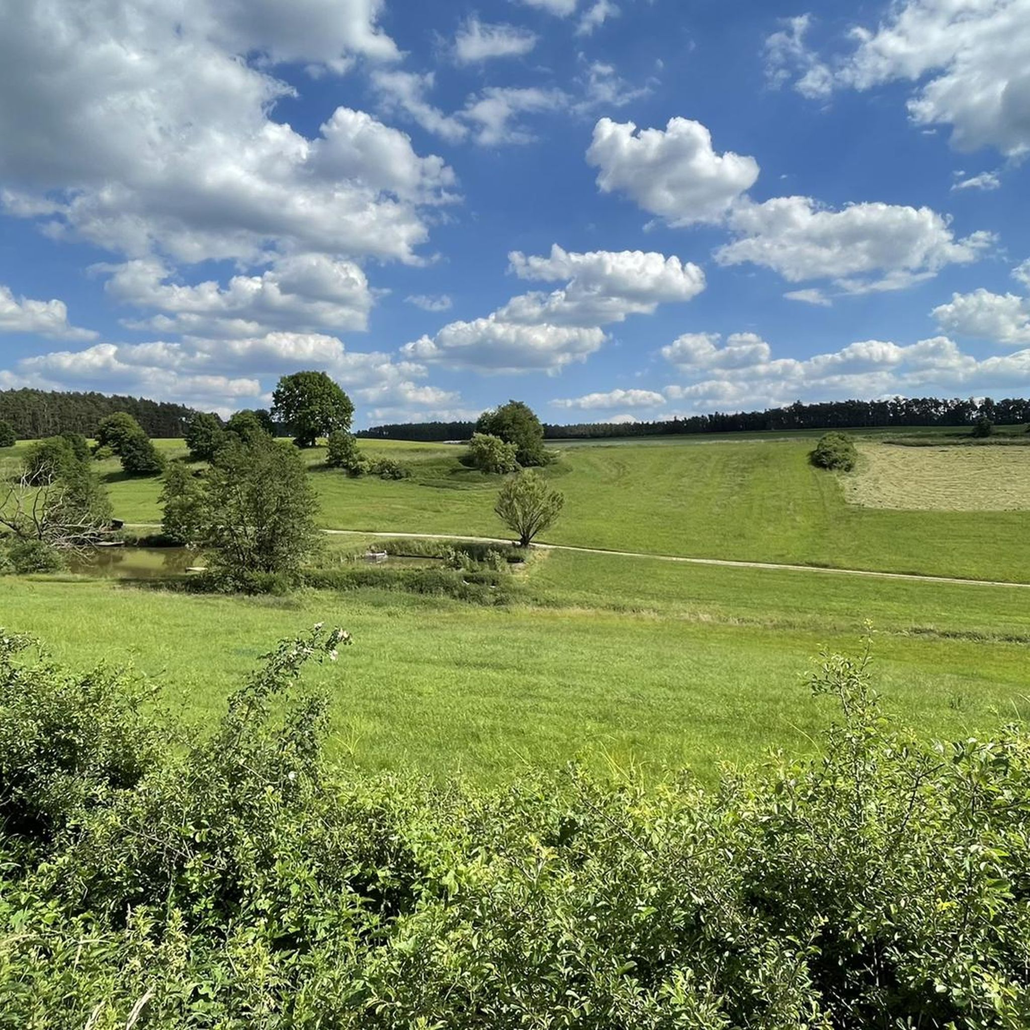
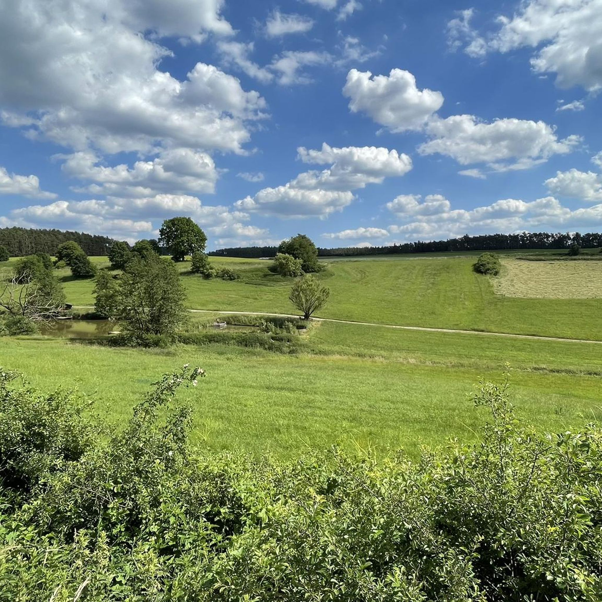
A welcome rest stop on the leg between Roßtal and Heilsbronn, just before Wendsdorf. It also offers a beautiful view of a secluded meadow valley dotted with ponds.
0
0

The rest area with its great view into the Wendsdorf valley is decorated with maritime motifs.
0
0


The lower floors of the church tower and the recessed choir with a 5/8 end to the east, whose walls are supported by buttresses, are the oldest parts of the hall church, built of ashlar masonry. They date back to the 14th century. The current nave was only built in the middle of the 15th century. At the same time, the church tower was extended by a storey, housing the clock tower and the belfry, and covered with a crooked roof. On the northern exterior wall of the church is a Mount of Olives group dating from around 1500. The watchtowers were removed in 1797. The two staircases forming a transept at the church tower were built in 1909. The interior of the choir is spanned by a painted cross-ribbed vault, while that of the nave has a mirror vault decorated with stucco. The nave has two-story galleries along its long sides. The organ stands on a gallery at the end of the choir. It has 23 registers, two manuals and a pedal, and was built in 1983 by WRK Orgelbau.[1] The entire church furnishings were created around 1728.
0
0

A hall church, the core of which dates back to the 14th century. A square tower with a pointed roof. The interior was remodeled in the Baroque style between 1726 and 1728. Angels in the baptismal font.
1
0
Half-timbered house from 1444. Rebuilt after a fire in 1697
1
0

The 7 Judgement Stones are a quiet place, allegedly with a pagan background
2
0

Great seating area for a short break! Fresh water flows from the rock. There's a great view 😃
0
0
Frequently Asked Questions
What kind of terrain can I expect on hiking trails around Großhabersdorf?
The hiking trails in Großhabersdorf traverse a varied landscape, primarily characterized by the idyllic Franconian countryside. You'll find a mix of green forests, gentle rolling hills, and open fields. Routes often follow local streams, such as those in the Bibert Valley, offering a pleasant and diverse walking experience.
Are there any easy hiking trails suitable for beginners or a relaxed stroll?
Yes, Großhabersdorf offers numerous easy trails. For instance, the Weihersmühlbach Trail – View of Wendsdorf loop from Bürglein is an easy 4.0-mile (6.5 km) route that explores local streams and provides views of Wendsdorf. Another easy option is the Gänseeiche Natural Monument – Hunting Hide loop from Großhabersdorf, which is about 4.3 miles (6.9 km) long.
Can I find circular hiking routes in the Großhabersdorf area?
Absolutely. Many trails around Großhabersdorf are designed as circular routes, allowing you to start and end at the same point. Examples include the Fish Pond – St. John's Church Bürglein loop from Großhabersdorf, which covers 8.3 miles (13.4 km) through varied terrain, and the View of Wendsdorf – River loop from Fernabrünst, a moderate 7.6-mile (12.3 km) path following the river.
What are the best seasons for hiking in Großhabersdorf?
Spring and summer are ideal for hiking in Großhabersdorf, when the weather is mild and nature is in full bloom, making the trails particularly inviting. Autumn also offers a beautiful spectacle with colorful deciduous forests, providing a picturesque backdrop for your walks.
Are there any viewpoints or scenic spots along the hiking trails?
Yes, the region offers several scenic spots. The Rangenberg Observation Tower, for example, provides breathtaking panoramic views over the entire Franconian countryside, making it a significant attraction for hikers seeking scenic vistas. Many trails also offer views of the Bibert Valley and the tranquil Habruck Gravel Lake.
Are the hiking trails in Großhabersdorf suitable for families with children?
Yes, many trails are suitable for families, especially the easier routes with moderate elevations. The diverse natural features like streams and forests provide an engaging environment for children. For a family-friendly outing, consider the Weihersmühlbach Trail – View of Wendsdorf loop from Bürglein, which is relatively short and easy.
What historical or cultural attractions can I explore near the hiking routes?
Beyond the natural beauty, you can visit the historic Faber-Castell Castle, known for its impressive architecture and beautiful grounds. For those interested in regional history, the Alte Mine Museum sheds light on the area's traditional mining culture. You can also find nearby castles like Cadolzburg Castle.
Are there any dog-friendly hiking trails in Großhabersdorf?
Most hiking trails in Großhabersdorf are dog-friendly, allowing you to enjoy the Franconian countryside with your canine companion. It's always recommended to keep dogs on a leash, especially near wildlife or agricultural areas, and to follow local regulations regarding waste disposal.
Where can I find parking for hiking trails in Großhabersdorf?
Parking is generally available in and around Großhabersdorf, often near trailheads or village centers. Specific parking locations vary by route, but many starting points for popular trails, such as those originating from Großhabersdorf itself, offer convenient access for hikers.
What do other hikers say about the trails in Großhabersdorf?
The hiking routes in Großhabersdorf are highly rated by the komoot community, with an average score of 4.5 stars from over 160 reviews. Hikers often praise the idyllic Franconian countryside, the well-maintained paths, and the variety of landscapes, from forests to open fields and river valleys.
How many hiking trails are available in the Großhabersdorf area?
There are over 90 hiking trails available around Großhabersdorf, offering a wide range of options for different skill levels and preferences. This includes 53 easy routes, 37 moderate routes, and a few more challenging options.
Are there any trails that pass by lakes or water features?
Yes, the region features the tranquil Habruck Gravel Lake, which can be a part of or near some hiking routes, offering a pleasant spot for relaxation. Additionally, several trails follow the Bibert Valley and other local streams, providing scenic water features along the way, such as the Window to Grund – Siebenrichter Stones loop from Großhabersdorf.
Most popular routes around Großhabersdorf
Most popular attractions around Großhabersdorf

Get inspired with the komoot mobile app


Explore more
Browse the best Hikes in other regions.
