
The best road cycling routes in Ixtaczoquitlán
4.7
(13)
18
riders
7
rides
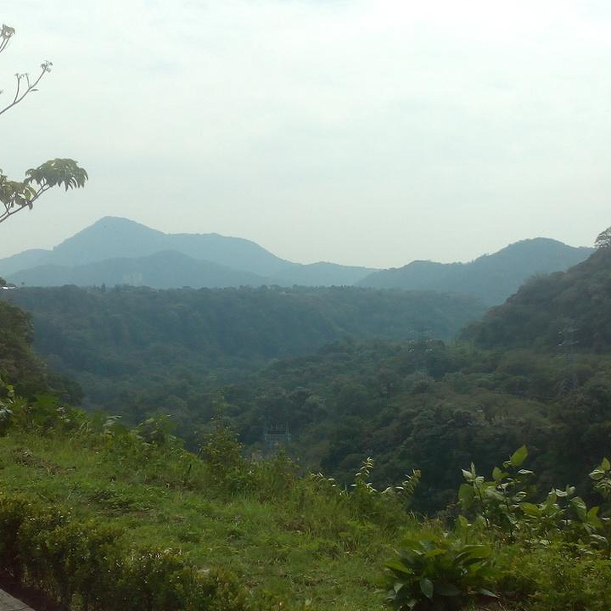
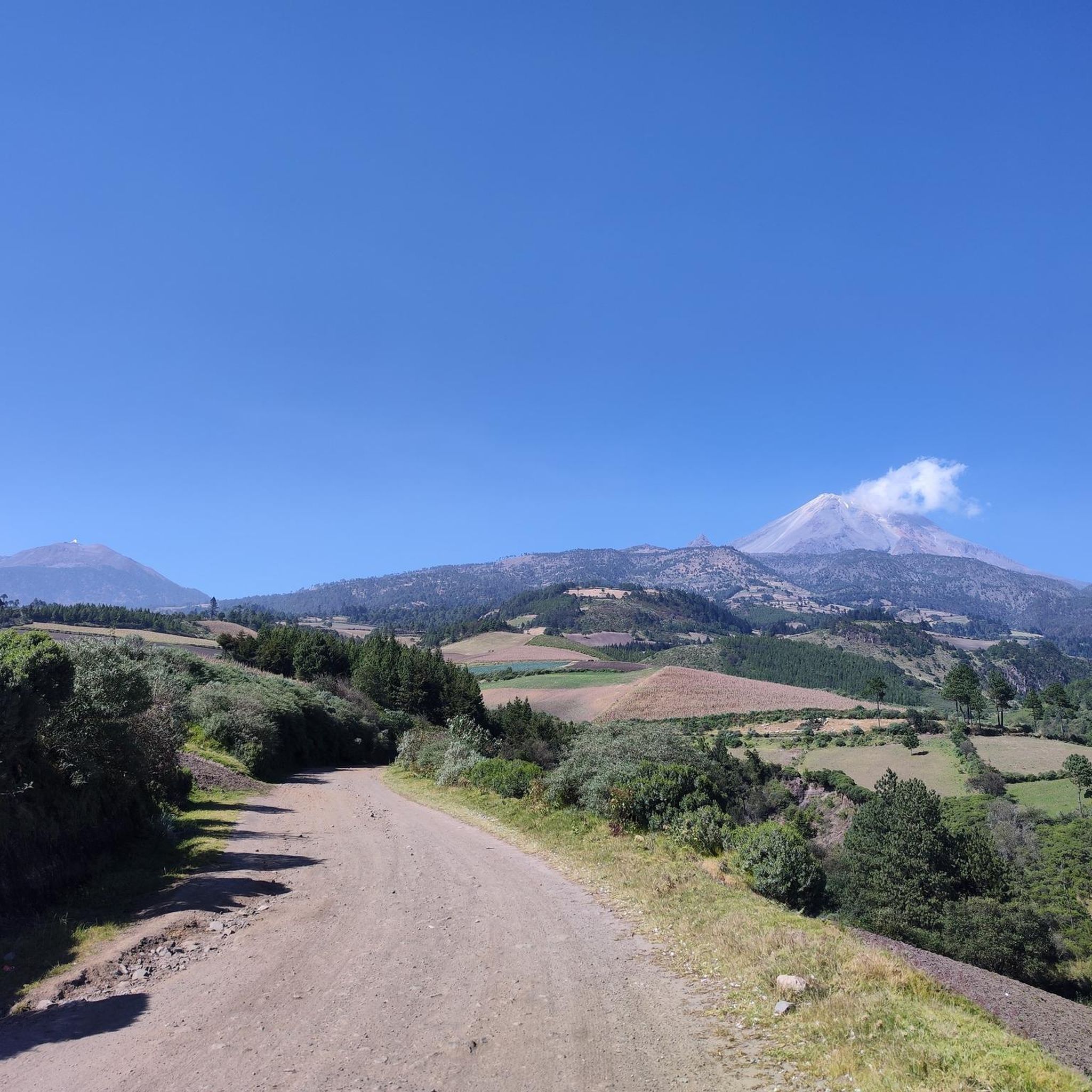
Road cycling in Ixtaczoquitlán, located in Veracruz, Mexico, offers diverse terrain within the "Altas Montañas" region. The area is characterized by its mountainous landscape, providing varied inclines and descents suitable for road cycling. Routes often feature views of lush vegetation and the Cañón del Río Blanco, with elevations ranging from gentle climbs to significant ascents. This environment supports a range of road cycling experiences, from moderate rides to challenging mountain routes.
Best road cycling routes in Ixtaczoquitlán
- The most popular…
Last updated: June 26, 2026
3
riders
68.6km
04:15
1,780m
1,780m
Hard road ride. Very good fitness required. Mostly well-paved surfaces and easy to ride.
2
riders
68.4km
04:19
1,830m
1,830m
Hard road ride. Very good fitness required. Mostly well-paved surfaces and easy to ride.

Sign up for free
4.0
(2)
4
riders
51.0km
02:27
640m
640m
Moderate road ride. Good fitness required. Mostly well-paved surfaces and easy to ride.
5.0
(10)
5
riders
24.6km
01:03
130m
130m
Easy road ride. Great for any fitness level. Mostly well-paved surfaces and easy to ride.
5.0
(1)
4
riders
22.9km
01:05
280m
280m
Easy road ride. Great for any fitness level. Mostly well-paved surfaces and easy to ride.
Get access to more routes and recommendations from other explorers.
Sign up for free
Already have an account?
Our route recommendations are based on thousands of hikes, rides, and runs completed by other people on komoot.
Start today with a free account
Your next adventure awaits.
Login or Signup
Popular around Ixtaczoquitlán


Tips from the Community

Frequently Asked Questions
What kind of terrain can I expect when road cycling in Ixtaczoquitlán?
Ixtaczoquitlán is situated within the "Altas Montañas" region, so you can expect a mountainous landscape with varied inclines and descents. Routes often feature lush vegetation and views of the Cañón del Río Blanco, providing a mix of challenging climbs and enjoyable stretches.
Are there road cycling routes suitable for beginners in Ixtaczoquitlán?
Yes, Ixtaczoquitlán offers routes for various skill levels. There are 2 easy road cycling routes available, such as the Pico de Orizaba loop from Orizaba, which covers 15.3 miles (24.6 km) with a moderate elevation gain, or the Hidrosistema loop from Córdoba, a 14.3 miles (22.9 km) route.
Are there challenging road cycling routes for experienced cyclists?
Absolutely. For experienced road cyclists seeking a challenge, there are 2 difficult routes. The Pico de Orizaba – Zimpoleo loop from Orizaba is a demanding 42.7 miles (68.6 km) route with significant elevation gain, and the Pico de Orizaba loop from Orizaba offers similar challenges over 42.5 miles (68.4 km).
What natural features can I see while road cycling in Ixtaczoquitlán?
Road cycling in the region often provides stunning views of the Cañón del Río Blanco. You might also encounter areas near natural springs like Los Sifones and the crystalline Laguna Ojo de Agua. The mountainous backdrop, including Cerro de Chicahuaxtla, adds to the scenic beauty.
Are there scenic viewpoints along the road cycling routes in Ixtaczoquitlán?
While specific cycling routes may not directly pass through all viewpoints, the region is known for its panoramic vistas. The recently inaugurated Mirador de Cristal, a glass overlook 90 meters above the Río Blanco, offers spectacular views and indicates the presence of elevated, scenic areas nearby that can be enjoyed from various cycling paths.
Are there loop road cycling routes in Ixtaczoquitlán?
Yes, many of the road cycling routes in Ixtaczoquitlán are designed as loops, allowing you to start and finish in the same location. Examples include the Mercado El Parián loop from Arroyo Zapote and several Pico de Orizaba loops.
What is the best time of year for road cycling in Ixtaczoquitlán?
Ixtaczoquitlán benefits from a temperate climate, making it suitable for road cycling for much of the year. Mild winters and pleasant springs and autumns generally offer the most comfortable conditions for outdoor activities.
What do other road cyclists enjoy about the routes in Ixtaczoquitlán?
The road cycling routes in Ixtaczoquitlán are highly rated by the komoot community, with an average score of 4.7 stars from over 10 reviews. Cyclists often praise the diverse elevations, the challenging mountainous terrain, and the scenic views, particularly those overlooking the Cañón del Río Blanco.
Are there long-distance road cycling routes available in the area?
Yes, for those looking for longer rides, Ixtaczoquitlán offers several routes exceeding 40 miles (64 km). The Pico de Orizaba – Zimpoleo loop from Orizaba and the Pico de Orizaba loop from Orizaba are both around 42.5 miles (68 km) and provide extensive cycling experiences.
Is parking available for road cyclists in Ixtaczoquitlán?
While specific designated cycling parking areas are not detailed, it is generally possible to find parking in towns like Orizaba or near common starting points for routes. It's advisable to check local parking regulations upon arrival.
Can I access road cycling routes using public transport?
Ixtaczoquitlán is close to Orizaba, a larger city that likely offers more public transport options. Depending on your starting point, you may be able to use local buses or taxis to get closer to the beginning of a route, though direct access with a road bike might require some planning.
Are the road cycling routes in Ixtaczoquitlán suitable for families?
For families, the 2 easy road cycling routes, such as the 15.3 miles (24.6 km) Pico de Orizaba loop from Orizaba, might be suitable, depending on the family's cycling experience and the children's ages. These routes feature less elevation gain compared to the more difficult options.
Most popular routes in Ixtaczoquitlán

Get inspired with the komoot mobile app


Explore more
Browse the best Road cycling routes in other regions.
