The best road cycling routes around Großdubrau
4.5
(216)
2,880
riders
416
rides
Road cycling routes around Großdubrau traverse a landscape characterized by heath and pond areas, offering diverse terrain for cyclists. The region features numerous reservoirs and lakes, providing scenic routes with mostly paved surfaces. While generally flat, some areas present gentle rolling hills, with the highest elevation being the Devil's Stone in the Hohe Dubrau Nature Reserve. Cyclists can expect a mix of open views and routes passing through natural features.
Best road cycling routes around Großdubrau
- The most popular road…
Last updated: June 26, 2026
19
riders
Moderate road ride. Good fitness required. Mostly well-paved surfaces and easy to ride.
5.0
(1)
14
riders
61.5km
02:24
180m
180m
Moderate road ride. Good fitness required. Mostly well-paved surfaces and easy to ride.

Sign up for free
13
riders
45.2km
01:50
110m
110m
Moderate road ride. Great for any fitness level. Some segments of this route may be unpaved and difficult to ride.
5.0
(1)
14
riders
36.9km
01:28
140m
140m
Moderate road ride. Great for any fitness level. Some segments of this route may be unpaved and difficult to ride.
10
riders
Easy road ride. Great for any fitness level. Mostly well-paved surfaces and easy to ride.
Get access to more routes and recommendations from other explorers.
Sign up for free
Already have an account?
Our route recommendations are based on thousands of hikes, rides, and runs completed by other people on komoot.
Start today with a free account
Your next adventure awaits.
Login or Signup
Other adventures around Großdubrau

Tips from the Community

It's a great place for hiking. The Seeperle restaurant is a good place to stop for a snack.
0
0

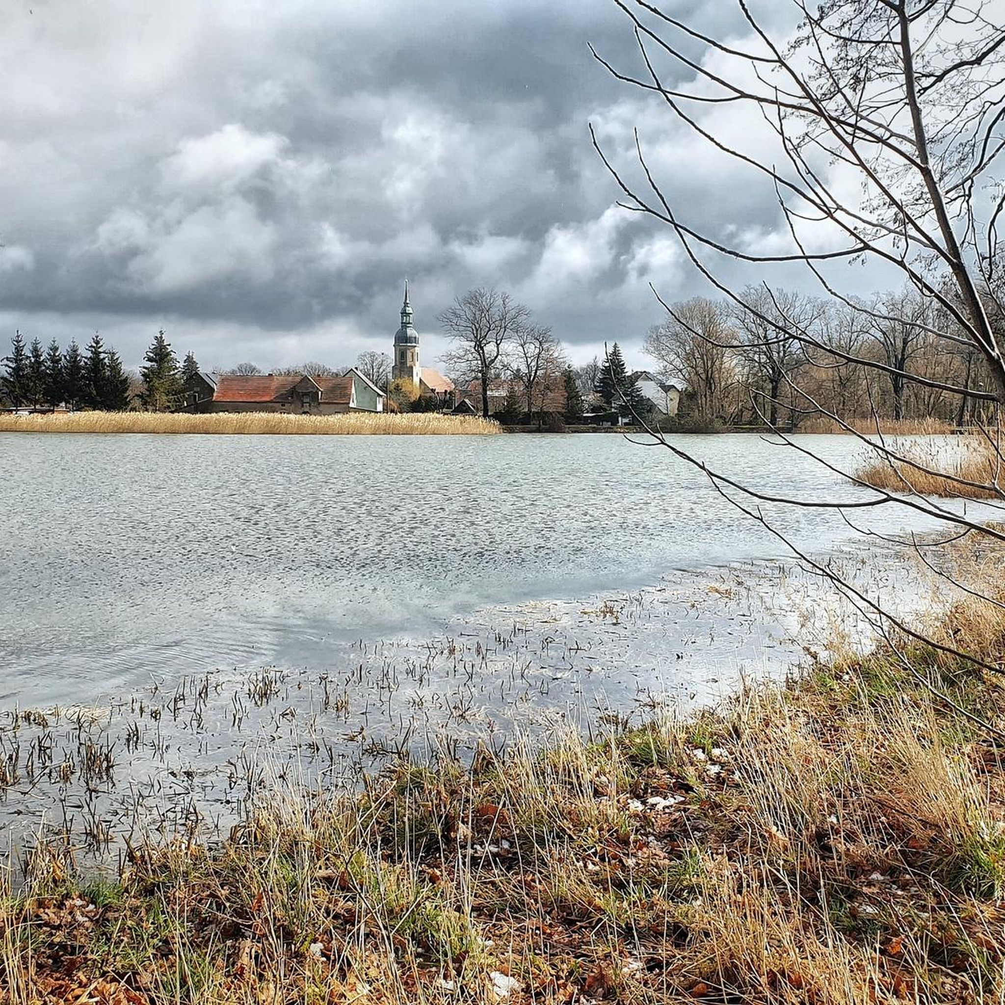
The village church in Reichwalde has a comparatively small tower (at least up close), which is somewhat reminiscent of the onion domes of the Russian Orthodox Church, though of course not as colorful. The church is usually open. There are five parking spaces in front.
1
0
It is a beautiful view of the lake.
0
0

The UNESCO Biosphere Reserve Upper Lusatian Heath and Pond Landscape is located in eastern Saxony. The 300-square-kilometer area is the largest contiguous pond area in Germany. Ponds, moors, heaths, and dunes provide a protected habitat for endangered animal and plant species. At the House of a Thousand Ponds in Malschwitz, you can learn fascinating facts about the region and its unique natural environment. Further information: https://nationale-naturlandschaften.de/gebiete/biosphaerenreservat-oberlausitzer-heide-und-teichlandschaft
2
0


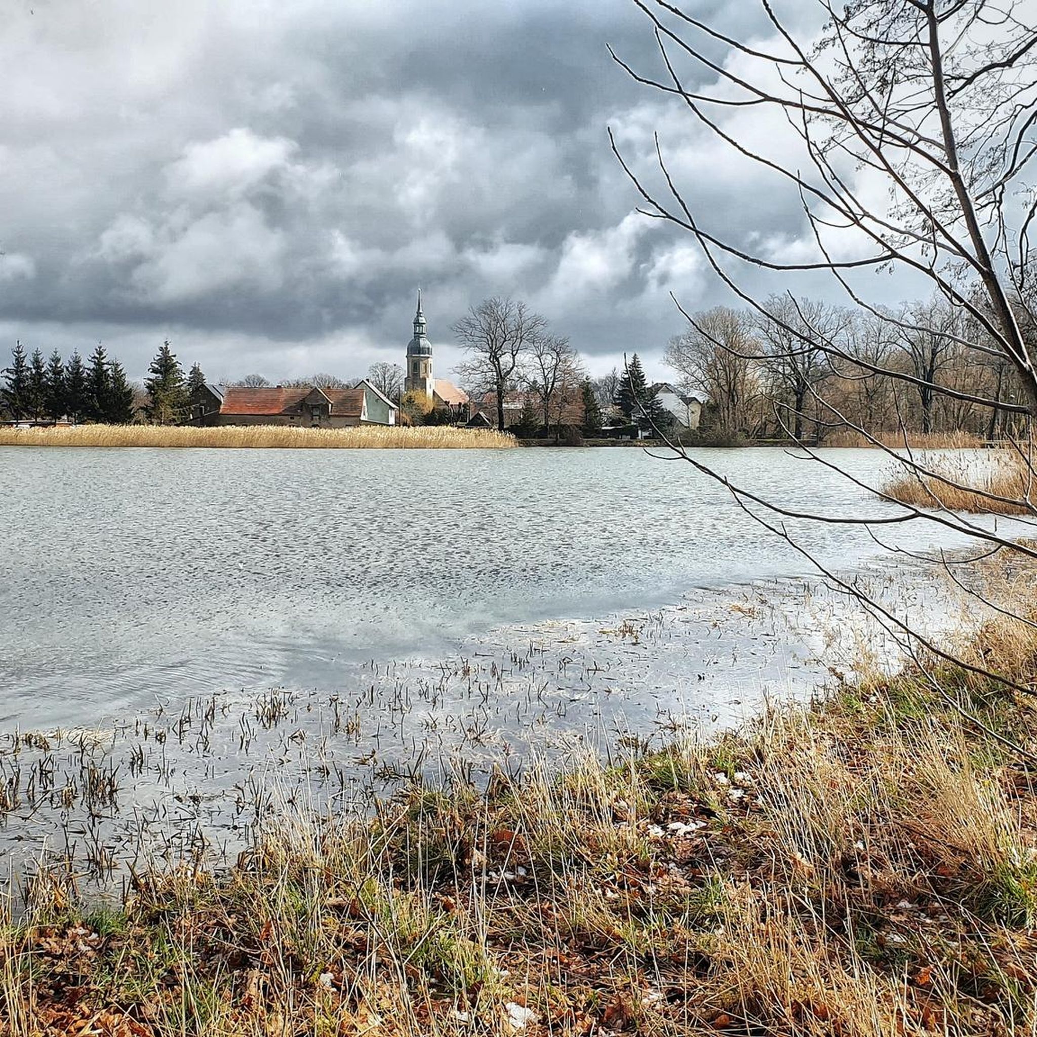
The church is located in the center of the village of Reichwalde. The current Reichwalde church was built in 1747. Before this time, however, there was supposedly already a wooden church in Reichwalde.
0
0

For a long picnic or a short break in a rain shower: the rest area can be used in many different ways. If you like, you can also find out more about the transformation of the region: from open-cast mining to Dreiweiberner Lake.
1
0
With an area of 13 km², Lake Bärwalde (also called Speicher Bärwalde, Upper Sorbian Bjerwałdski jězor) is the largest lake in Saxony and the third largest lake in the Lusatian Lake District. It is located in the Upper Lusatian municipality of Boxberg/O.L. between the towns of Boxberg, Klitten and Uhyst. The eponymous town of Bärwalde lies north of the lake.
0
0
Frequently Asked Questions
What kind of terrain and difficulty can I expect on road cycling routes around Großdubrau?
Road cycling routes around Großdubrau primarily feature mostly paved surfaces, traversing a landscape characterized by heath and pond areas. While generally flat, some areas present gentle rolling hills. You'll find options for various fitness levels, from easy rides like the Historic Boundary Stone No. 70 – Olbasee loop from Klix - Klukš to more challenging moderate routes, with a total of 5 easy and 9 moderate routes available.
Are there any scenic viewpoints or natural features to discover along the road cycling routes?
Yes, the region is rich in scenic beauty. Many routes circle picturesque reservoirs and lakes, offering tranquil cycling experiences. You can enjoy open views across the water on routes like the Bärwalder See – View of Bärwalder Lake loop from Großdubrau - Wulka Dubrawa. The area also features idyllic pond landscapes, such as those found on the Malschwitzer Ponds Cycle Path, and the Hohe Dubrau Nature Reserve, home to the Devil's Stone, the highest elevation in the Upper Lusatian heath and pond area.
What do other road cyclists enjoy most about cycling in Großdubrau?
The road cycling routes in Großdubrau are highly rated by the komoot community, with an average score of 4.5 stars from over 150 reviews. Cyclists often praise the diverse terrain, the beautiful heath and pond landscapes, and the scenic reservoirs that provide a varied and enjoyable riding experience.
Are there any circular road cycling routes available in the Großdubrau area?
Yes, many of the road cycling routes around Großdubrau are designed as loops, allowing you to start and end at the same point. Examples include the popular Radibor Castle – Historic Bockwindmühle Luga loop from Großdubrau - Wulka Dubrawa, which passes by historic sites and varied terrain, and the Milkel Castle – Radibor Castle loop from Großdubrau - Wulka Dubrawa.
What are some notable landmarks or attractions I can see while road cycling?
Beyond the natural beauty, you can encounter several interesting landmarks. The Radibor Castle – Historic Bockwindmühle Luga loop from Großdubrau - Wulka Dubrawa passes by historic sites. You might also cycle near the Devil's Stone in the Hohe Dubrau Nature Reserve, or enjoy views of Bautzen's old town and its medieval fortifications from certain routes. The Outlet of the Bautzen Dam is another point of interest.
Are there any family-friendly road cycling options in Großdubrau?
Yes, the region offers easy rides suitable for all fitness levels, making it possible for families to enjoy road cycling. Routes around reservoirs and lakes, such as the Bautzen Dam, are often described as easy and suitable for everyone. The Milkel Castle – Ochsenteich loop from Großdubrau - Wulka Dubrawa is another easy option.
What is the best season for road cycling in Großdubrau?
The diverse landscapes of Großdubrau are enjoyable throughout the warmer months. Spring and autumn offer pleasant temperatures and beautiful scenery, while summer allows for refreshing stops at recreation areas like the swimming beach at Bautzen Reservoir or the 'Blaue Adria' for a swim.
Are there places to take a break or find refreshments along the routes?
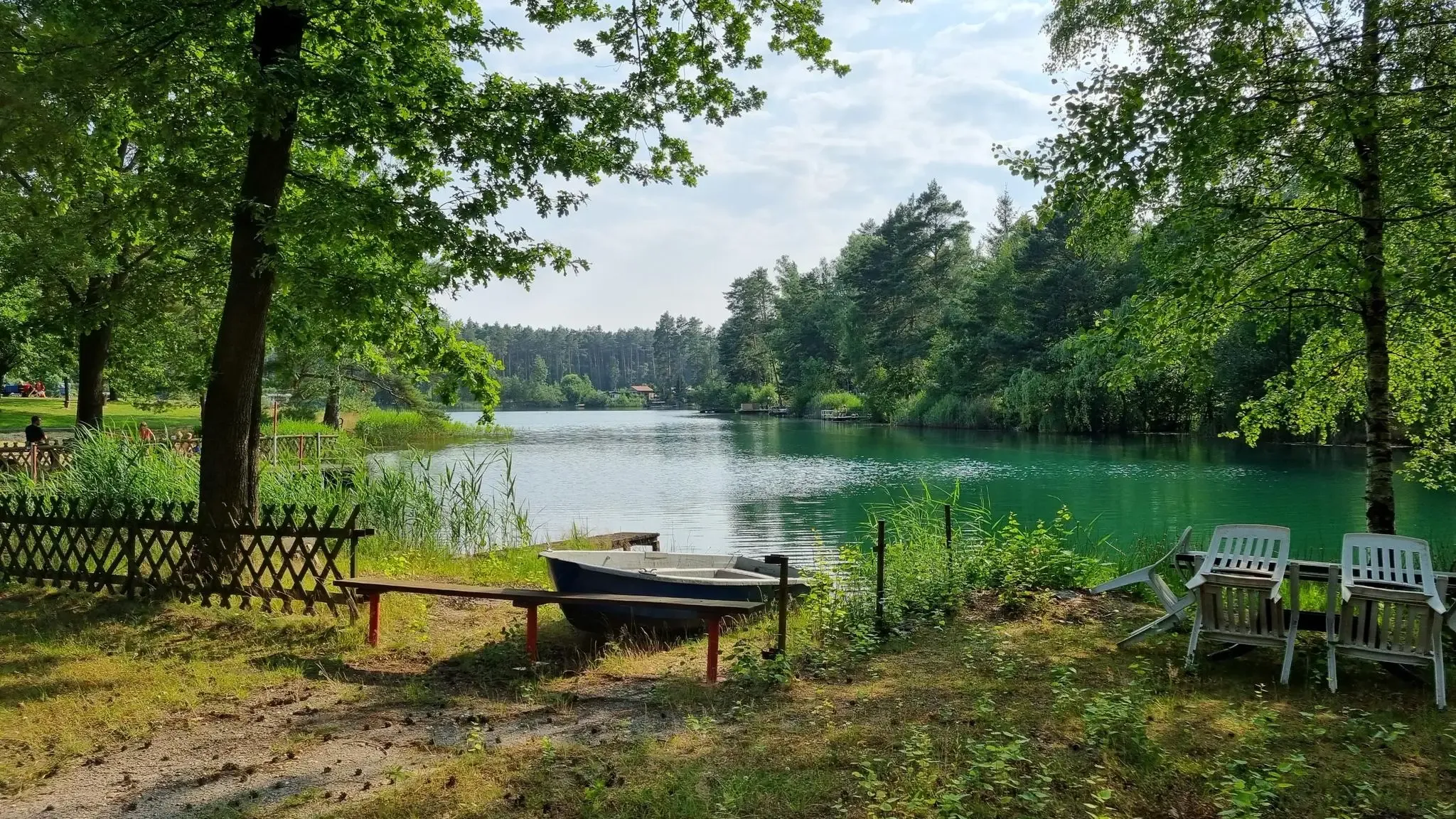
Yes, the region offers several spots for breaks. The Bautzen Ponds are a good place for a break, with opportunities for swimming. The 'Blaue Adria' recreation area, located near Großdubrau, is popular for swimming and camping. Additionally, you might find shelters and rest areas, such as the Horschauer Berg Shelter and Rest Area or the Shelter With Lake View at Großteich Milkel, along some routes.
How many road cycling routes are available in the Großdubrau area?
There are over 10 road cycling routes around Großdubrau, offering a variety of distances and difficulties to explore the region's heath and pond landscapes, reservoirs, and gentle rolling terrain.
Can I connect to broader cycling networks from Großdubrau?
Yes, the region offers connectivity to broader cycling networks. The Spreeradweg (Spree Cycle Path) near Brösa is mentioned as another cycling option, indicating that you can extend your rides beyond the immediate Großdubrau area.
Are there any specific lake or reservoir routes recommended for road cyclists?
Absolutely. The region is known for its scenic reservoir and lake routes. The Bärwalder See – View of Bärwalder Lake loop from Großdubrau - Wulka Dubrawa is a popular choice, offering open views across the water. You can also find routes around the Bautzen Dam, which are generally easy rides suitable for all.
Most popular routes around Großdubrau
Most popular attractions around Großdubrau

Get inspired with the komoot mobile app


Explore more
Browse the best Road cycling routes in other regions.
