The best walks and hikes in San Andrés Cholula
4.9
(18)
194
hikers
20
hikes
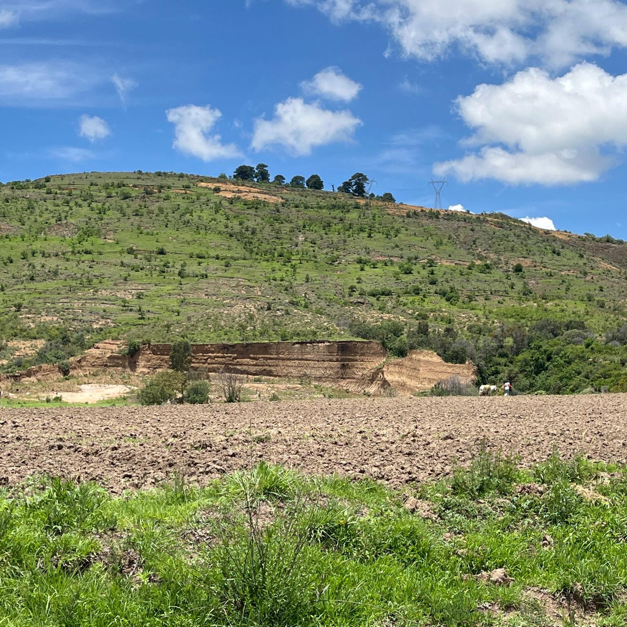
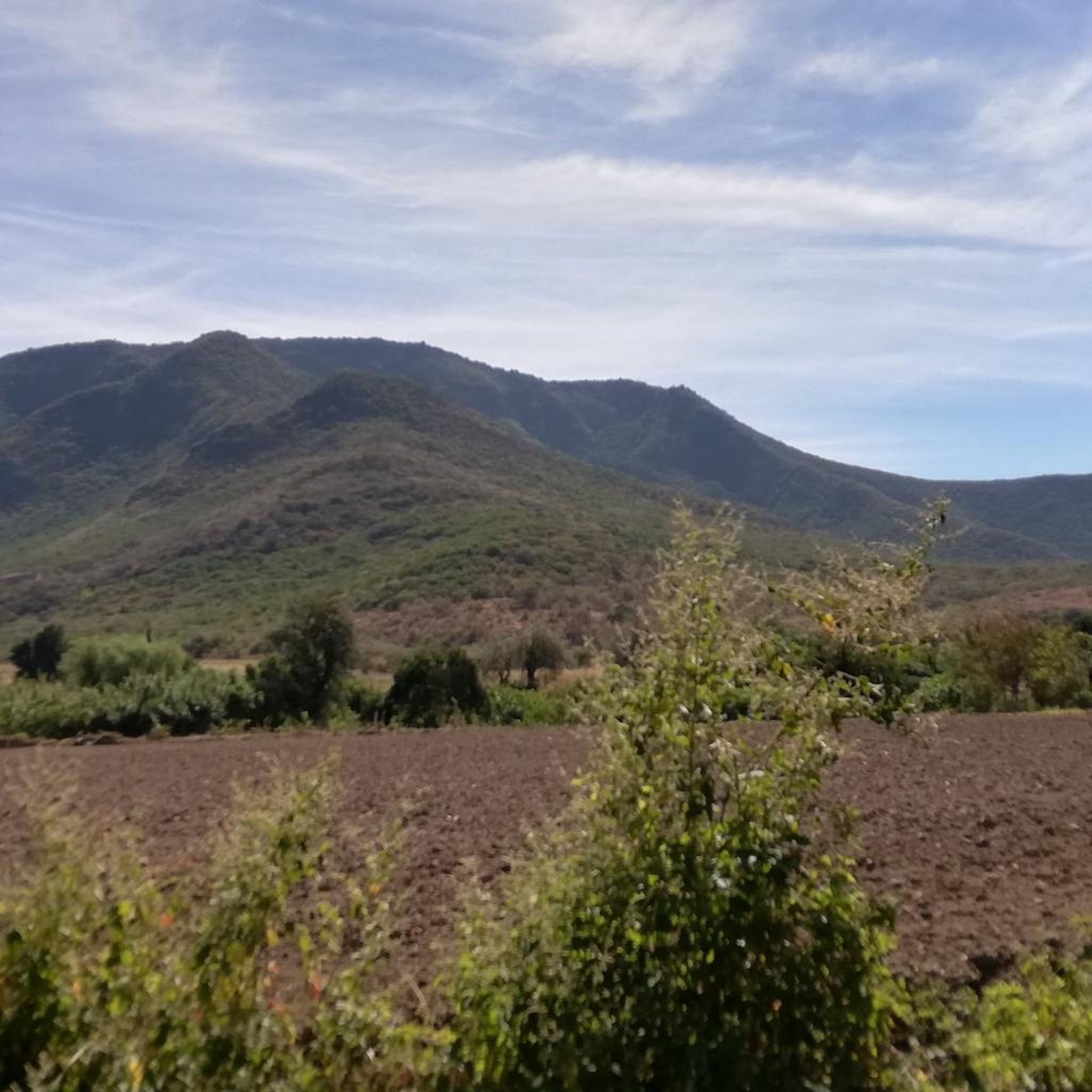
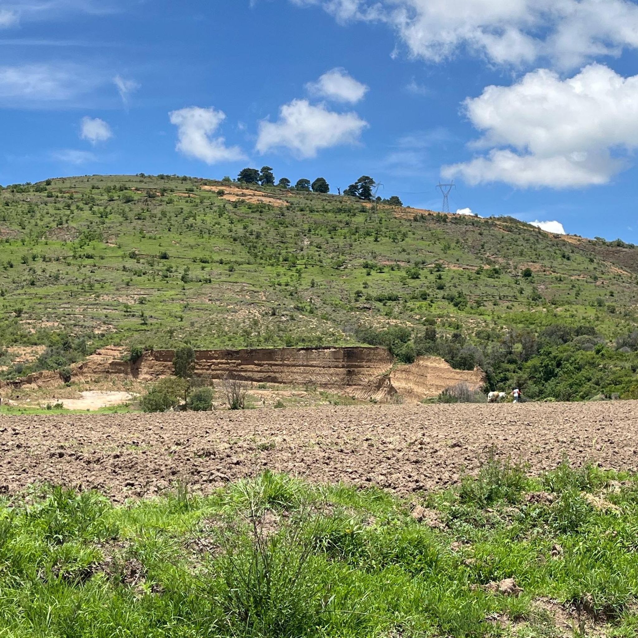
Hiking in San Andrés Cholula offers trails through a landscape characterized by hills, views of the Popocatépetl volcano, and areas with prickly pear cactus plantations. The region features varied terrain, from gentle paths around historic sites to more challenging ascents on local hills. Hikers can explore both natural environments and cultural landmarks, including the Great Pyramid of Cholula.
Best hiking trails in San Andrés Cholula
- The most popular hiking route is Summit of Cerro Zapo (2,380 m) – View of…
Last updated: July 2, 2026
4.7
(6)
32
hikers
13.8km
03:48
230m
230m
Moderate hike. Good fitness required. Easily-accessible paths. Suitable for all skill levels.
5.0
(4)
28
hikers
8.84km
02:27
170m
170m
Moderate hike. Good fitness required. Easily-accessible paths. Suitable for all skill levels.

Sign up for free
4.3
(3)
19
hikers
Moderate hike. Good fitness required. Easily-accessible paths. Suitable for all skill levels.
5.0
(1)
13
hikers
Easy hike. Great for any fitness level. Easily-accessible paths. Suitable for all skill levels.
12
hikers
5.32km
01:29
100m
100m
Easy hike. Great for any fitness level. Easily-accessible paths. Suitable for all skill levels.
11
hikers
Easy hike. Great for any fitness level. Easily-accessible paths. Suitable for all skill levels.
5.0
(1)
9
hikers
6.67km
01:55
160m
160m
Easy hike. Great for any fitness level. Easily-accessible paths. Suitable for all skill levels.
4
hikers
Moderate hike. Good fitness required. Easily-accessible paths. Suitable for all skill levels.
2
hikers
3.68km
01:00
50m
50m
Easy hike. Great for any fitness level. Easily-accessible paths. Suitable for all skill levels.
5
hikers
Easy hike. Great for any fitness level. Easily-accessible paths. Suitable for all skill levels.
Get access to more routes and recommendations from other explorers.
Sign up for free
Already have an account?
Our route recommendations are based on thousands of hikes, rides, and runs completed by other people on komoot.
Start today with a free account
Your next adventure awaits.
Login or Signup

Tips from the Community

The climb is not easy, but the view is worth the effort - provided the weather is clear
0
0
If volume is your priority: Gran Pirámide de Cholula / Tlachihualtepetl
0
0

Possibility of parking your car in the surroundings
0
0


The heart of the old town of Puebla
0
0
Unfortunately, access to the catacombs was closed
0
0
In good weather, the view of Popocatepetl is sensational
0
0
This street is full of beautifully painted houses. The restaurant at the intersection is a very nice photo opportunity
1
0
Frequently Asked Questions
What types of terrain can I expect on hiking trails in San Andrés Cholula?
Hiking in San Andrés Cholula features varied terrain, including paths through hills, areas with distinctive prickly pear cactus plantations, and routes offering views of the Popocatépetl volcano. You'll find a mix of natural environments and historic areas, such as those around the Great Pyramid of Cholula.
Are there any easy hiking trails suitable for beginners or families in San Andrés Cholula?
Yes, San Andrés Cholula offers several easy trails. For instance, the La Lunita, Cholula – Plaza de la Concordia loop from Great Pyramid of Cholula is an easy 3.1-mile (5.0 km) route that takes about 1 hour 20 minutes, leading through urban and historic areas. Another easy option is the Cerro Zapotecas – Miguel Viderique Gallery loop from Cholula, which is 3.3 miles (5.3 km) long with moderate elevation gain.
Can I find trails with views of the Popocatépetl volcano?
Absolutely. Many routes in the region offer stunning views of the Popocatépetl volcano. A great option is the View of Popocatépetl – Prickly Pear Cactus Plantation loop from Cholula, a moderate 5.5-mile (8.8 km) path that also takes you through unique prickly pear cactus plantations.
Are there any circular hiking routes in San Andrés Cholula?
Yes, many of the trails in San Andrés Cholula are designed as loops, allowing you to start and end at the same point. An example is the Summit of Cerro Zapo (2,380 m) – Prickly Pear Cactus Plantation loop from Cholula, a moderate 5.6-mile (9.0 km) loop.
What is the typical elevation gain on trails in San Andrés Cholula?
The elevation gain varies depending on the trail's difficulty. Easy routes, like the La Lunita, Cholula – Foundation of the pyramid loop from Great Pyramid of Cholula, might have around 180 feet (55 meters) of ascent. More moderate trails, such as the Miguel Viderique Gallery – Summit of Cerro Zapo (2,380 m) loop from Cholula, can involve around 737 feet (225 meters) of elevation gain.
What do other hikers enjoy most about the trails in San Andrés Cholula?
The trails in San Andrés Cholula are highly rated by the komoot community, with an average score of 4.9 stars. Hikers frequently praise the panoramic views, especially of the Popocatépetl volcano, and the unique experience of walking through prickly pear cactus plantations and historic sites like the Great Pyramid of Cholula.
Are there any shorter walks for a quick outing?
For a shorter walk, consider the Great Pyramid of Cholula – La Lunita, Cholula loop from Cholula. This easy route is just under a mile (1.5 km) and can be completed in about 25 minutes, offering a pleasant stroll near historic landmarks.
Are there any trails that pass through urban or historic areas?
Yes, some trails blend natural beauty with cultural exploration. The Plaza de la Concordia – La Lunita, Cholula loop from Cholula is an easy 2.4-mile (3.9 km) route that takes you through parts of Cholula's urban and historic landscape, including the Plaza de la Concordia.
What is the best time of year to go hiking in San Andrés Cholula?
The dry season, typically from November to April, is generally considered the best time for hiking in San Andrés Cholula. During these months, you can expect clearer skies, less humidity, and more comfortable temperatures, which are ideal for enjoying the views and trails.
Are there any trails that offer a good workout with significant ascent?
For a more challenging hike with notable ascent, the Summit of Cerro Zapo (2,380 m) – View of Popocatépetl loop from Cholula is a moderate 8.6-mile (13.8 km) trail with approximately 760 feet (232 meters) of elevation gain, offering panoramic views and a good physical challenge.
What kind of wildlife might I encounter on the trails?
While specific wildlife sightings can vary, the natural areas around San Andrés Cholula, particularly those with prickly pear cactus plantations and hills, are home to various bird species and small desert-adapted animals. Keep an eye out for local flora and fauna as you explore.
Most popular routes in San Andrés Cholula

Get inspired with the komoot mobile app


Explore more
Browse the best Hikes in other regions.
