The best walks and hikes around Groß Boden
4.5
(1909)
8,065
hikers
285
hikes
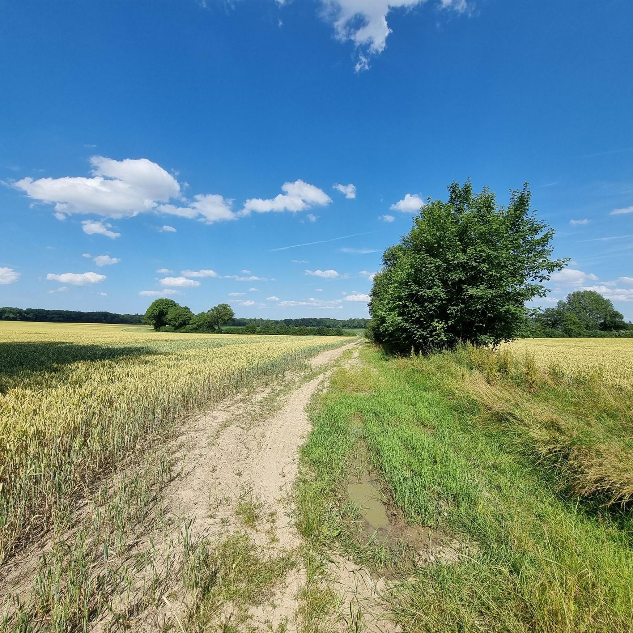
Hiking around Groß Boden features a landscape characterized by extensive forests, open fields, and small water bodies, offering generally flat terrain suitable for various activity levels. The region's trails often follow forest paths and rural tracks, with minimal elevation changes. This area provides opportunities for exploring natural surroundings through well-maintained routes.
Best hiking trails around Groß Boden
- The most popular hiking route is Wehrenteich – Steinhorster Forest loop from Steinhorst, a 3.6 miles (5.8 km) trail that takes 1…
Last updated: August 15, 2026
4.4
(5)
30
hikers
5.83km
01:29
10m
10m
Easy hike. Great for any fitness level. Easily-accessible paths. Suitable for all skill levels.
4.5
(10)
32
hikers
9.17km
02:20
30m
30m
Moderate hike. Good fitness required. Easily-accessible paths. Suitable for all skill levels.

Sign up for free
4.5
(8)
19
hikers
8.98km
02:20
50m
50m
Moderate hike. Good fitness required. Easily-accessible paths. Suitable for all skill levels.
5.0
(11)
11
hikers
6.52km
01:40
20m
20m
Easy hike. Great for any fitness level. Easily-accessible paths. Suitable for all skill levels.
5.0
(6)
14
hikers
5.77km
01:29
20m
20m
Easy hike. Great for any fitness level. Easily-accessible paths. Suitable for all skill levels.
Get access to more routes and recommendations from other explorers.
Sign up for free
Already have an account?
Our route recommendations are based on thousands of hikes, rides, and runs completed by other people on komoot.
Start today with a free account
Your next adventure awaits.
Login or Signup
Tips from the Community

The Hagenow Land–Bad Oldesloe railway line (also called Kaiserbahn or Kaiserstrecke) is a partially disused railway line in the states of Mecklenburg-Vorpommern and Schleswig-Holstein. It connected the towns of Hagenow, Ratzeburg, and Bad Oldesloe and, with its continuation via Bad Segeberg and Neumünster, formed the shortest rail link between Berlin and Kiel.
0
0


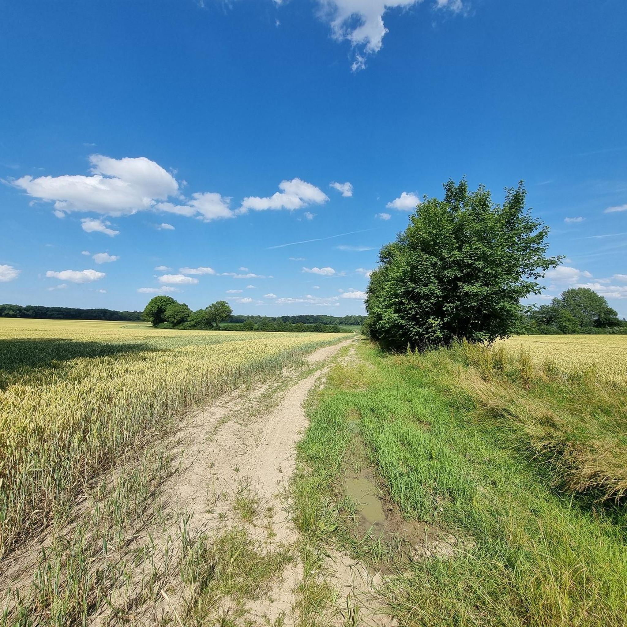
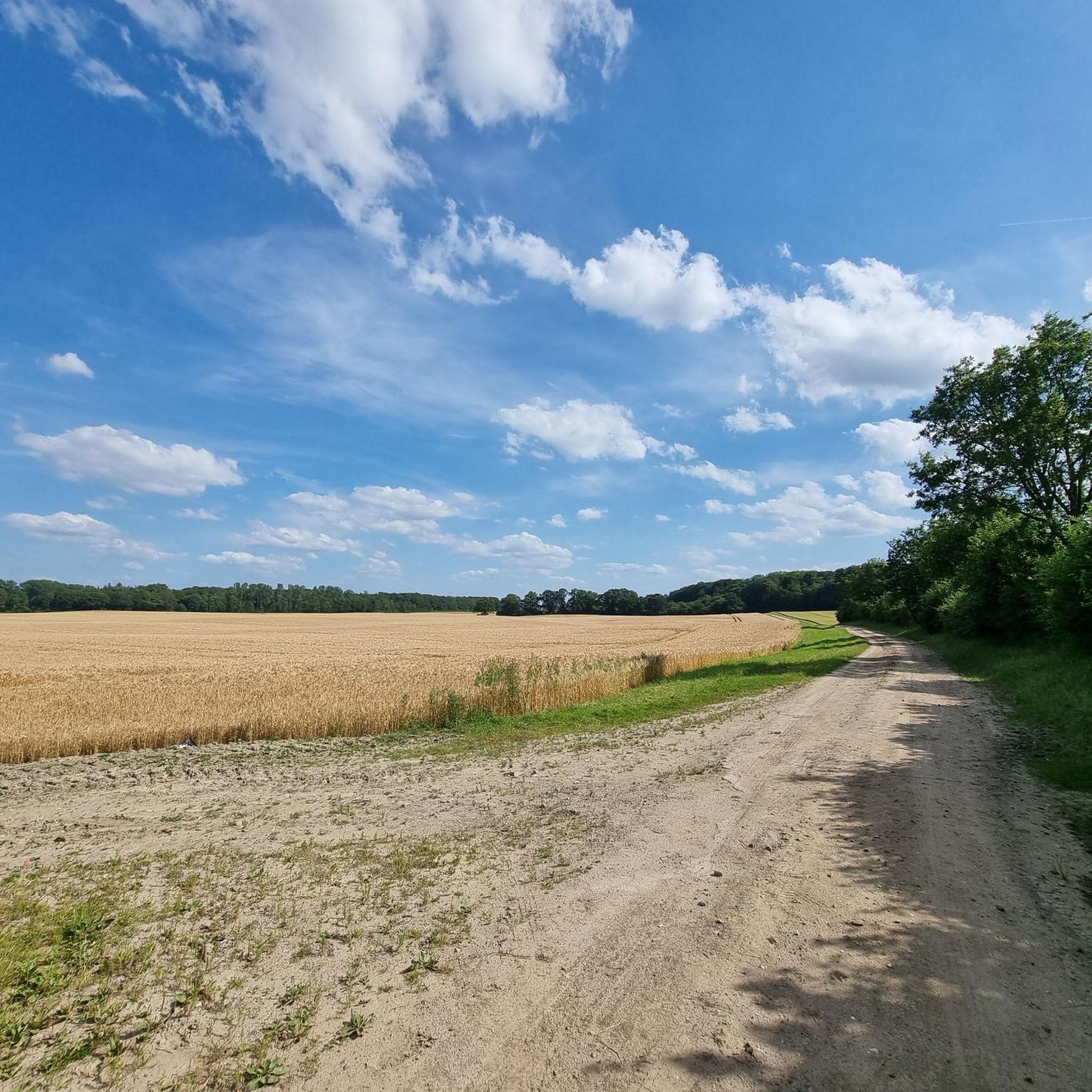
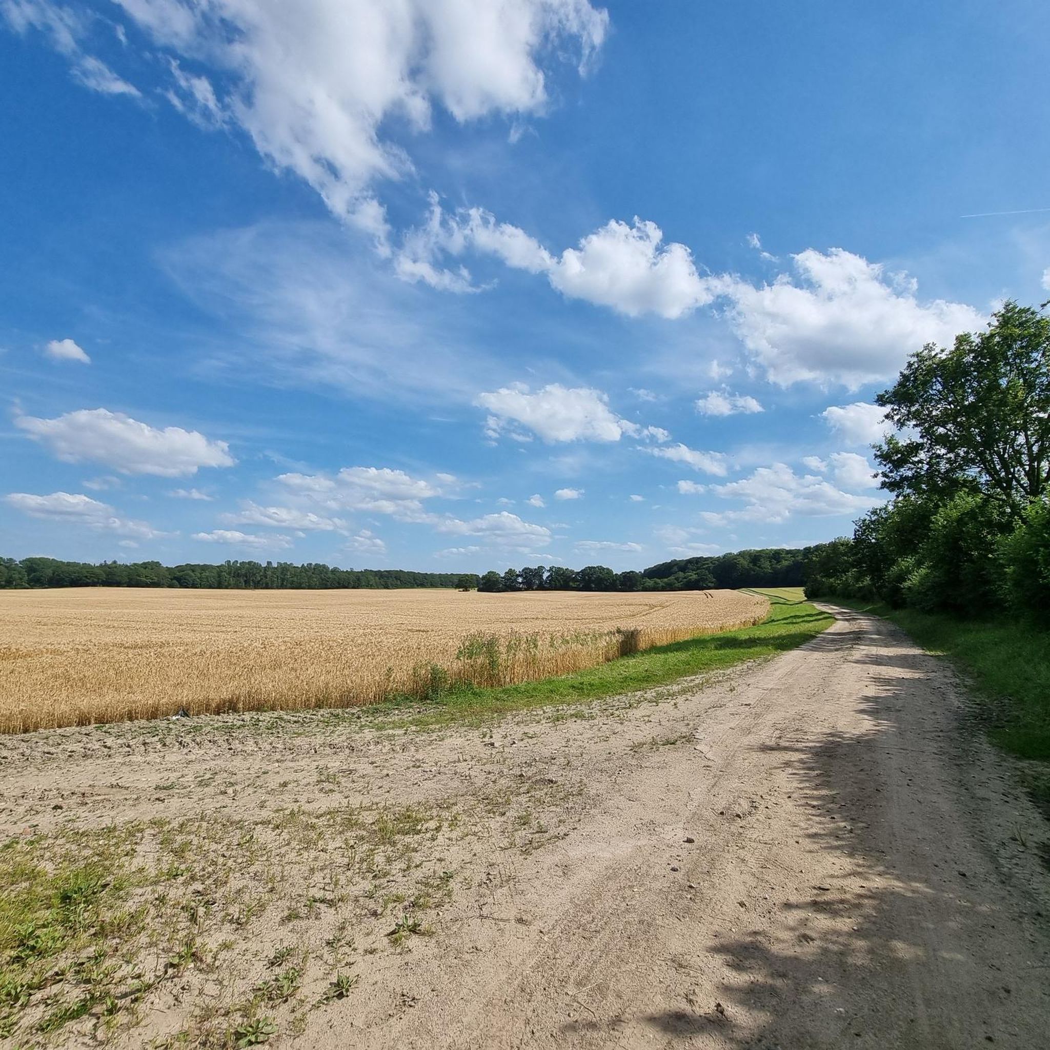
FeRo had really terrible weather conditions and still made a recommendation. And rightly so! I was there in September 2024 and had fantastic and sunny early autumn weather - pure enjoyment. My route recommendations away from the straight "forest highways": Bodener Zuschlag https://www.komoot.com/de-de/highlight/7009315 Labenzer Zuschlag https://www.komoot.com/de-de/highlight/6596457 Schürensöhler Zuschlag https://www.komoot.com/de-de/highlight/7006683
0
0
It is the picturesque Wehrenteich, which is fed by the Wehrenbek. It is now a refuge for water birds and amphibians. It is completely surrounded by forest and is only accessible to visitors at this one point.
0
0
The Treuholz station was located on the so-called Kaiserbahn, a single-track railway line from Bad Oldesloe via Ratzeburg to Hagenow-Land in Mecklenburg. The line was opened in 1897 and is said to have been built at the instigation of Kaiser Wilhelm II, because the Kaiser wanted a shorter route for his journeys from Berlin to the naval base Kiel than the one via Lübeck or Hamburg. With the drawing of borders after the Second World War, the line was interrupted and became meaningless. Passenger transport was discontinued in 1962, and freight transport (mainly sugar beet) was abandoned in 1971. The railway embankment was dismantled shortly thereafter, so that the course of the line can only be discerned at individual bends. Between Siebenbäumen and Berkenthin, a section is still used as a cycle path.
0
0
The paved path is the historic access route to the train station. The red brick building with 3 windows per floor is the former train station building. You stand there on the side of the building facing away from the former track; the "Treuholz" station sign was probably moved to the other side at some point. The other red brick building with 5 windows in a row was once the residential building of the "railway officials". The green strip with wild vegetation that you can see from the street to the south of the buildings still marks a small piece of the railway embankment; everything on the adjacent arable land has long since been leveled.
0
0
Yes, nice view for the nature lover. And for those who prefer to drive on unpaved roads, I suggest this route: https://www.komoot.de/highlight/5946079
0
0

The "Schweinchen" is a signpost on the "Schweinchen-Weg", one of the marked municipal paths in the municipality of Rethwischdorf. "Piggy Way" Rethwischdorf - Treuholz (Hof Dohrendorf) - Kiefholz (5km, walking time approx. 1 hour 20 minutes) The piggy trail starts at the village square by the lime tree in Rethwischdorf. From there it goes up the Kirchberg (Landesstraße L 87) past the church, the cemetery and the Fuhlenpott to Treuholz. There it goes approx. 250 meters behind the "Hof Dohrendorf" left up to a path that leads from here along the bend to the street "Kiefholz". Shortly before the end, a bank invites you to take a break. Here you turn left and continue past the Kiefholz and 400 meters later turn left again at the Altenweide/Schlagenweg junction, sharp left into the Schlagenweg, past the two wind turbines until you reach the B 208 after a right-hand bend. After crossing it, turn left on the combined footpath and cycle path along the B 208 back to Rethwischdorf and the starting point. See also: https://www.komoot.de/tour/864551510
1
0
Frequently Asked Questions
How many hiking trails are available around Groß Boden?
Groß Boden offers a wide selection of hiking opportunities, with over 280 routes available. These range from easy strolls to more moderate excursions, ensuring there's something for every skill level.
Are there easy hiking trails suitable for beginners in Groß Boden?
Yes, Groß Boden is well-suited for beginners, with 193 easy trails. These routes typically feature flat terrain and well-maintained paths. An excellent option is the Wehrenteich – Steinhorster Forest loop from Steinhorst, which is 3.6 miles (5.8 km) long and explores the Steinhorster Forest.
What is the typical length of hiking trails in Groß Boden?
The hiking trails in Groß Boden vary in length, but many popular routes are between 3 to 6 miles (5 to 10 km). For example, the Chestnut Avenue – Steinhorster Forest loop from Schürensöhlen is 5.7 miles (9.2 km), and the Thatched-Roof Cottage loop from Stubben is 5.6 miles (9.0 km).
Are there family-friendly hiking options in Groß Boden?
Absolutely. The region's generally flat terrain and numerous easy trails make it ideal for families. Many routes, like the Schweinchen-Weg Signpost loop from Rethwisch, are suitable for all ages and offer pleasant walks through nature.
Are dogs allowed on the hiking trails in Groß Boden?
Most hiking trails in Groß Boden are dog-friendly, allowing you to enjoy the natural surroundings with your canine companion. It's always recommended to keep dogs on a leash, especially in nature reserves or near wildlife, and to clean up after them.
When is the best time of year to go hiking in Groß Boden?
Groß Boden offers pleasant hiking experiences throughout much of the year. Spring and autumn provide comfortable temperatures and beautiful scenery with blooming flora or vibrant fall colors. Summer is also popular, though some trails might be more exposed to the sun. Winter hiking is possible on many trails, especially when there's light snow, offering a serene experience.
What can I see along the hiking trails in Groß Boden?
The trails around Groß Boden lead through diverse landscapes, including extensive forests, open fields, and small water bodies. You can explore natural highlights such as the Brenner Moor Nature Reserve, or discover charming spots like the Herrenteich Reinfeld.
Are there any interesting landmarks or attractions near the hiking routes?
Yes, beyond the natural beauty, you can find interesting points of interest. For example, some routes pass by the Old railroad tracks on the cycle and hiking trail, or the Fruit and Tree Educational Trail along the Old EBOE Railway Line, offering a glimpse into the region's history and nature.
Are there circular hiking routes available in Groß Boden?
Many of the hiking trails in Groß Boden are designed as circular routes, allowing you to start and end at the same point without retracing your steps. Examples include the Grinautal Forest Path – Siebenbäumen Windmill loop from Siebenbäumen, which offers a varied experience.
What do other hikers enjoy most about hiking in Groß Boden?
The komoot community highly rates the hiking experience in Groß Boden, with an average score of 4.5 stars from over 1,600 reviews. Hikers often praise the region's quiet woodlands, well-maintained paths, and the gentle, accessible terrain that makes it enjoyable for various activity levels.
Is parking available at the trailheads in Groß Boden?
While specific parking details vary by trailhead, many popular starting points for hikes in Groß Boden, especially those near villages or recreational areas, offer designated parking facilities. It's advisable to check the tour details on komoot for specific parking information for your chosen route.
Can I reach hiking trails in Groß Boden using public transport?
Access to hiking trails in Groß Boden via public transport depends on the specific starting point. Some villages and towns in the region are served by local bus routes, which may provide access to certain trailheads. For detailed information, it's best to consult local public transport schedules for the area you plan to visit.
Most popular attractions around Groß Boden

Get inspired with the komoot mobile app


Explore more
Browse the best Hikes in other regions.
