The best walks and hikes around Goetre Fawr
4.5
(1351)
11,014
hikers
12
hikes
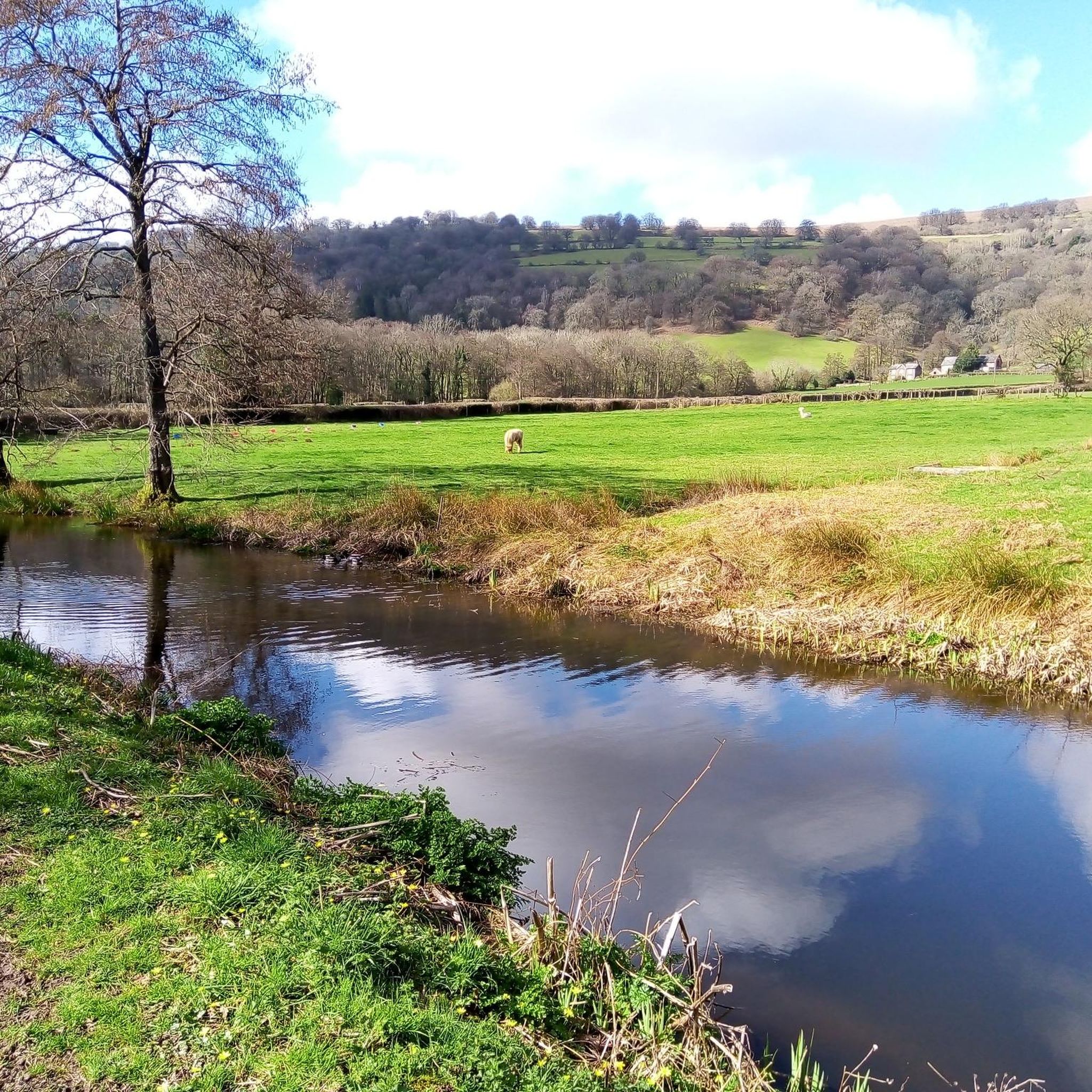
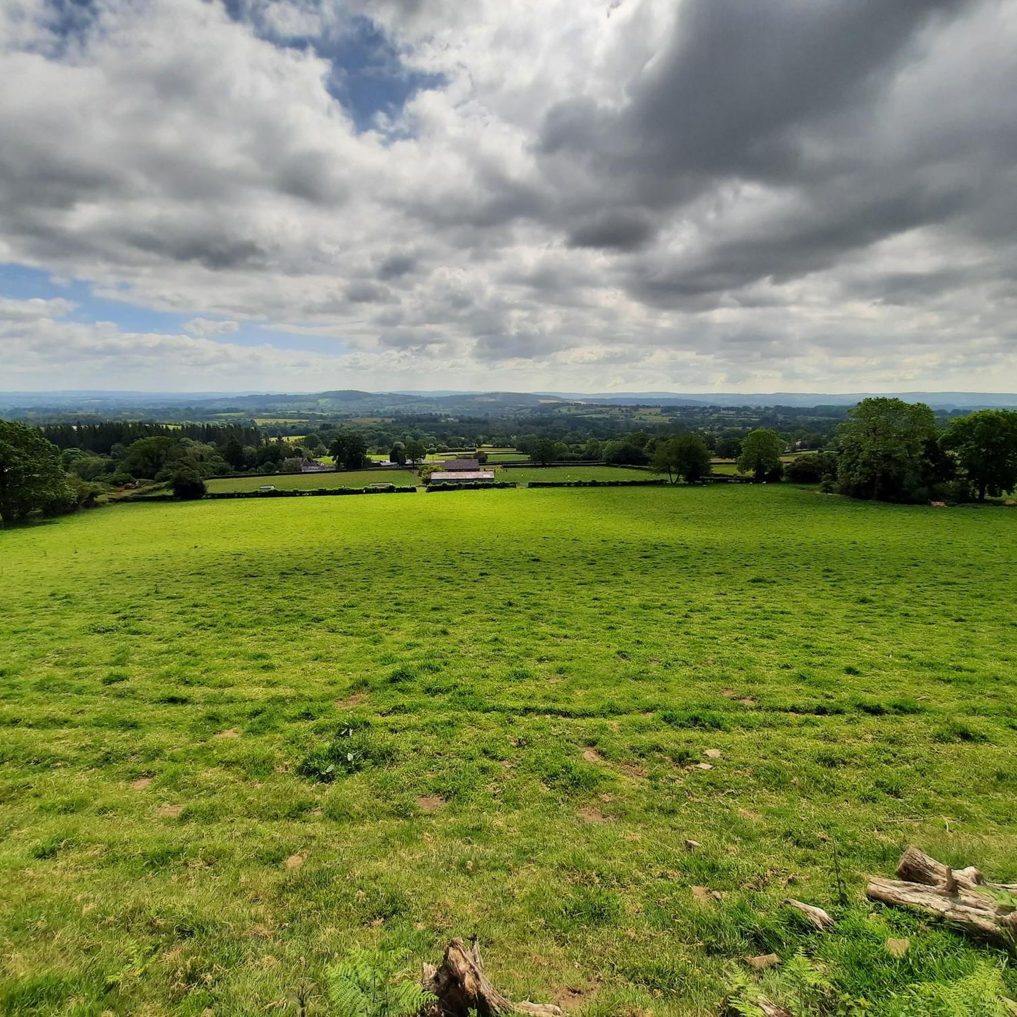
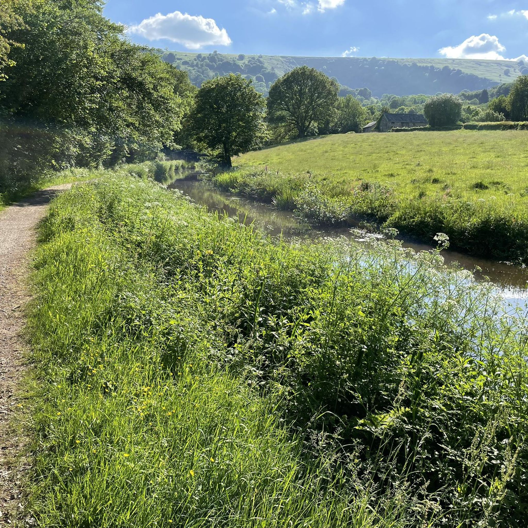
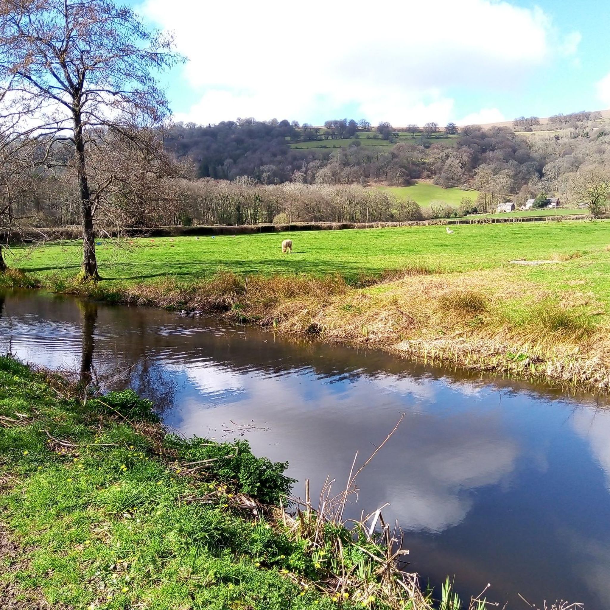
Hikes around Goetre Fawr explore the landscape of the Usk Valley within Brecon Beacons National Park. The area is characterized by rolling hills, sections of the Monmouthshire and Brecon Canal, and dense deciduous woodlands. The terrain offers a mix of level canal-side paths and more demanding ascents up nearby hills, providing varied options for hikers.
Best hiking trails around Goetre Fawr
- The most popular hiking route is the Goytre Wharf loop from Little Mill, a 6.1 mile (9.8 km) trail that takes around 2 hours 30 minutes to complete. This route follows the scenic towpath of the Monmouthshire and Brecon Canal.
- Another top favourite among local hiking enthusiasts is the Beech Woods Trail – View from Mynydd Garn Clochdy loop from Llanover, a moderate 6.8 mile (11.0 km) path. The trail includes an ascent of Mynydd Garn Clochdy and passes through woodland sections.
- Local hiking enthusiasts also love the The Punchbowl Lake – Llanfoist Wharf loop from Llanellen, a 6.1 mile (9.8 km) trail leading through a varied landscape, often completed in about 3 hours.
- Hiking around Goetre Fawr is defined by tranquil canal towpaths, lush pastureland, and woodland trails. The network of routes provides options for different ability levels, from gentle strolls to more strenuous hill walks.
- The routes in Goetre Fawr are highly rated by the komoot community with an average score of 4.5 stars from over 1,000 reviews. More than 8,900 hikers have used komoot to explore Goetre Fawr's varied terrain.
Last updated: July 6, 2026
4.5
(2)
15
hikers
11.0km
03:24
390m
390m
Moderate hike. Good fitness required. Easily-accessible paths. Suitable for all skill levels.
5.0
(1)
16
hikers
9.86km
02:31
30m
30m
Moderate hike. Good fitness required. Easily-accessible paths. Suitable for all skill levels.

Sign up for free
9
hikers
7.46km
02:03
120m
120m
Moderate hike. Good fitness required. Easily-accessible paths. Suitable for all skill levels.
5.0
(3)
42
hikers
5.13km
01:20
30m
30m
Easy hike. Great for any fitness level. Easily-accessible paths. Suitable for all skill levels.
5.0
(1)
4
hikers
15.8km
04:48
520m
530m
Moderate hike. Good fitness required. Easily-accessible paths. Suitable for all skill levels.
Get access to more routes and recommendations from other explorers.
Sign up for free
Already have an account?
Our route recommendations are based on thousands of hikes, rides, and runs completed by other people on komoot.
Start today with a free account
Your next adventure awaits.
Login or Signup

Tips from the Community


Southern edge of the park, on a bridge over the Brecon & Monmouthshire canal.
0
0

This is very steep! Hands were required. Would not attempt in the wet
0
0

Really steep path up here, recommend going around and avoiding completely coming down.
1
0

the Blorenge mountain Death and legacy Foxhunter's hide was buried on the Blorenge mountain, between Abergavenny and Blaenavon. A memorial plaque listing Foxhunter's achievements marks the Blorenge site and a car park is situated nearby. When Sir Harry died in 1999 his ashes were scattered around the horse's memorial.
1
0
Newly Dragonised by myself 🙌 Blorenge,[2] also called The Blorenge is a prominent hill overlooking the valley of the River Usk near Abergavenny, Monmouthshire, southeast Wales. It is situated in the southeastern corner of the Brecon Beacons National Park. The summit plateau reaches a height of 561 m
1
0

Perfect for trail running. Watch of for the wild horses. Amazing views over Abergavenny
0
0

Pretty easy hike up, sadly was a cloudy day when I went so missed the views. No steep ledges and not too high at all, so good if it is windy.
1
0
Frequently Asked Questions
Are there many hiking trails to choose from around Goetre Fawr?
Yes, there are over 370 hiking routes to explore in the Goetre Fawr area. These range from 159 easy strolls, perfect for a relaxed day, to over 170 moderate trails and 40 difficult hikes for those seeking a challenge.
What do other hikers think of the trails in Goetre Fawr?
The trails are highly regarded by the komoot community, with an average rating of 4.5 out of 5 stars from over 1,000 reviews. Hikers frequently praise the mix of tranquil canal paths, beautiful woodland sections, and the stunning views from the hilltops.
Are there any good circular walks in the area?
The region is excellent for circular hikes. A great example is the Clytha Castle – Clytha Cutting loop from Bettws Newydd. This moderate walk takes you through varied landscapes, including past a historic folly castle, offering a complete loop without retracing your steps.
Can I bring my dog on the hikes around Goetre Fawr?
Many trails in Goetre Fawr are suitable for dogs, especially the paths along the Monmouthshire and Brecon Canal. However, you will be walking through farmland with livestock, so it's essential to keep your dog on a lead and under control at all times.
Are there any easy, family-friendly hikes?
The towpath along the Monmouthshire and Brecon Canal from Goytre Wharf is an excellent choice for families. It's mostly flat and offers plenty of interesting sights like canal boats and historic lime kilns. The Goytre Hall Wood walk is another short, 2-mile option that is particularly beautiful in spring.
Where can I find the best views in Goetre Fawr?
For panoramic views, the local peaks are unbeatable. Hikes up Sugar Loaf, the Blorenge, or Skirrid Fawr reward you with breathtaking vistas across the Usk Valley and the Black Mountains. Even on lower-level routes, you'll find wonderful viewpoints looking out over the rolling Monmouthshire countryside.
What are the parking options for starting a hike?
Goytre Wharf has a dedicated visitor car park which is a convenient starting point for many canal and woodland walks. For hikes up the surrounding peaks like Sugar Loaf or the Blorenge, there are specific car parks such as the Sugar Loaf National Trust car park or Keeper's Pond for the Blorenge, which serve as popular trailheads.
Are there any historical trails to explore?
Yes, the area is rich in industrial heritage. The walk from Goytre Wharf is part of the Blaenavon Industrial Landscape, a UNESCO World Heritage Site. You can follow trails that connect the wharf with the former ironworks, exploring remnants of the region's past. For more details on this specific route, you can consult the Goytre Wharf to Blaenavon Landscape walk guide.
How do I get to Goetre Fawr using public transport?
Goetre Fawr is a rural community, so public transport options can be limited. The nearest major towns with train stations are Abergavenny and Pontypool. From there, you would typically need to use local bus services or a taxi to reach the main trailheads like Goytre Wharf. It's best to check local bus timetables in advance as services may be infrequent.
Are there any woodland walks available?
Absolutely. The area features several beautiful deciduous woodlands. The Singing Birds Coffee Shop – Goytre Wharf loop from Llanover incorporates lovely woodland sections alongside the canal. Many routes climbing the slopes of hills like Mynydd Garn Clochdy also pass through enchanting beech and oak woods.
What is the terrain like for hiking in Goetre Fawr?
The terrain is quite varied. You'll find flat, easy-going towpaths along the Monmouthshire and Brecon Canal, which are great for gentle walks. Away from the canal, the landscape consists of rolling hills, pastureland, and some steep, challenging ascents to the summits of nearby mountains like Sugar Loaf and the Blorenge.
Most popular routes around Goetre Fawr
Most popular attractions around Goetre Fawr

Get inspired with the komoot mobile app


Explore more
Browse the best Hikes in other regions.
