The best running trails around Gobion Fawr
4.9
(9)
875
runners
13
runs
Jogging routes around Gobion Fawr traverse a landscape characterized by mountain ranges, extensive moorland, and deep, forested gorges. The region, part of the Brecon Beacons National Park, offers varied terrain from riverside paths to challenging climbs up prominent hills. Runners can expect to encounter a mix of open landscapes and shaded woodlands, with elevations ranging from gentle slopes to significant ascents. This area provides a diverse environment for running, from well-maintained trails to more rugged mountain paths.
Best jogging routes…
Last updated: July 4, 2026
5.0
(2)
26
runners
Hard run. Very good fitness required. Mostly paved surfaces. Suitable for all skill levels.
51
runners
45.6km
05:48
1,450m
1,450m
Hard run. Very good fitness required. Mostly paved surfaces. Suitable for all skill levels.

Sign up for free
23
runners
29.2km
03:04
280m
280m
Hard run. Very good fitness required. Sure-footedness, sturdy shoes and alpine experience required.
21
runners
59.5km
07:49
2,290m
2,290m
Hard run. Very good fitness required. Mostly paved surfaces. Suitable for all skill levels.
15
runners
26.6km
03:31
980m
980m
Hard run. Very good fitness required. Mostly paved surfaces. Suitable for all skill levels.
Get access to more routes and recommendations from other explorers.
Sign up for free
Already have an account?
Our route recommendations are based on thousands of hikes, rides, and runs completed by other people on komoot.
Start today with a free account
Your next adventure awaits.
Login or Signup
Popular around Gobion Fawr
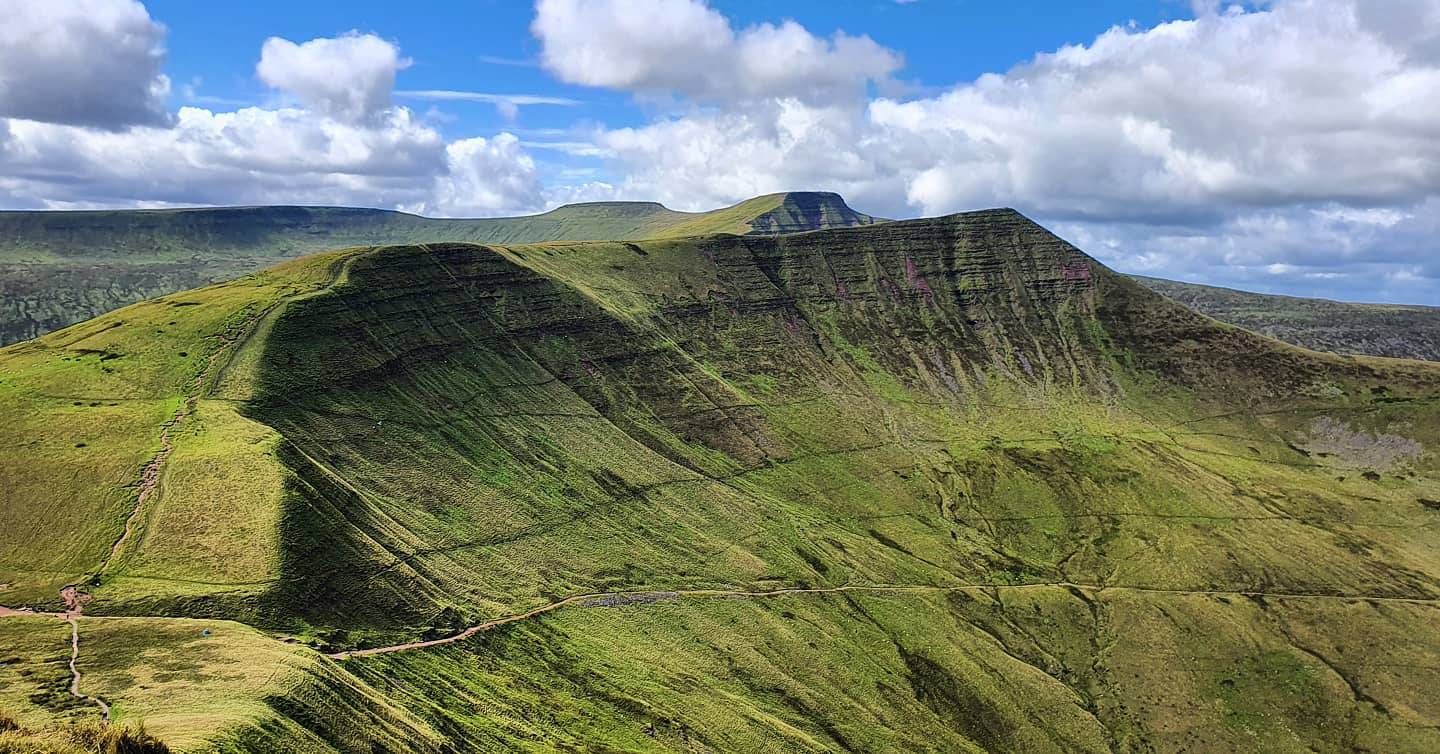
Beacons Way — Hike the high, emerald spine of South Wales

Walk Britain – 90 car-free adventures in England, Wales and Scotland
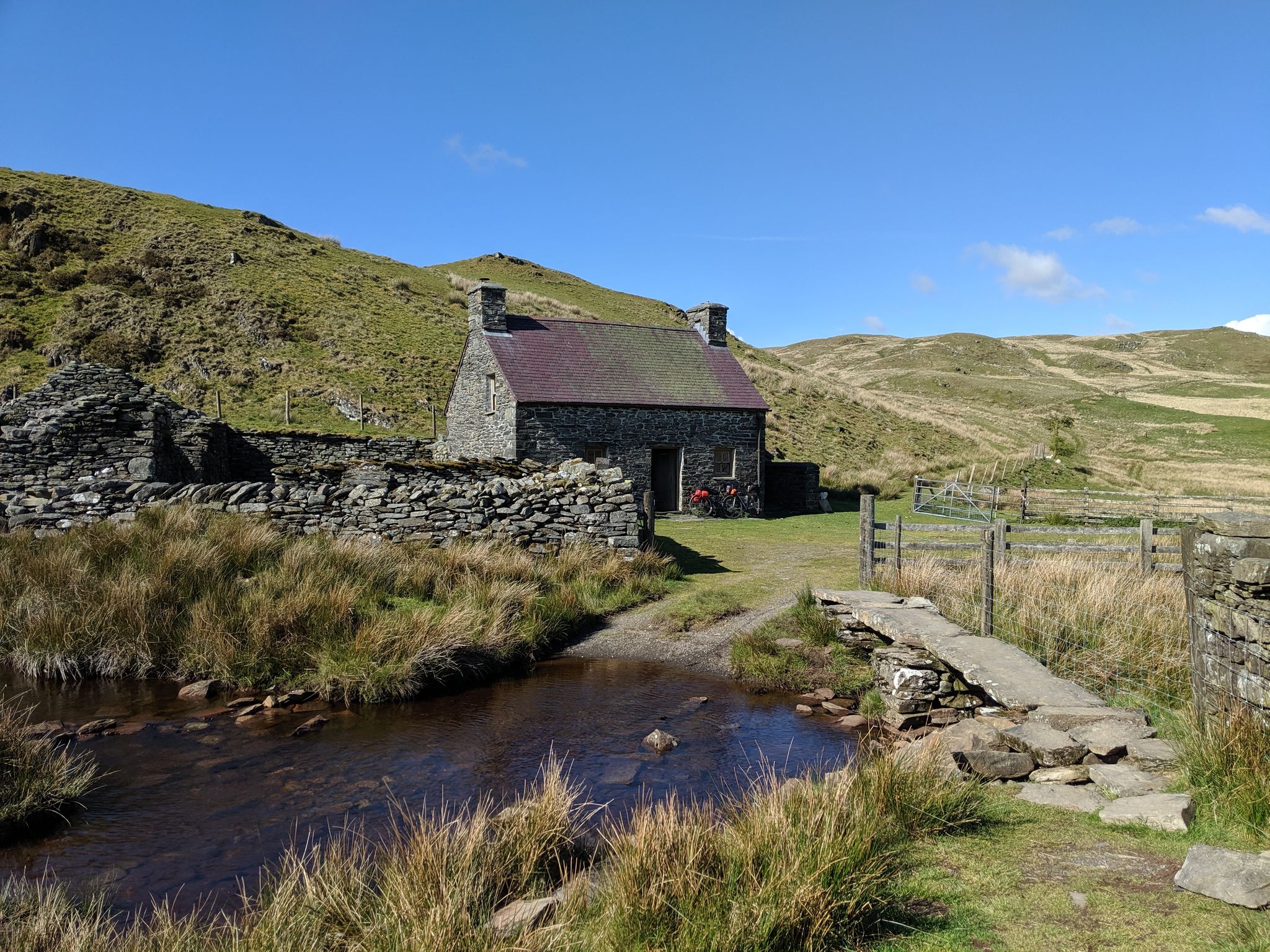
Bikepacking the best of British Bothies
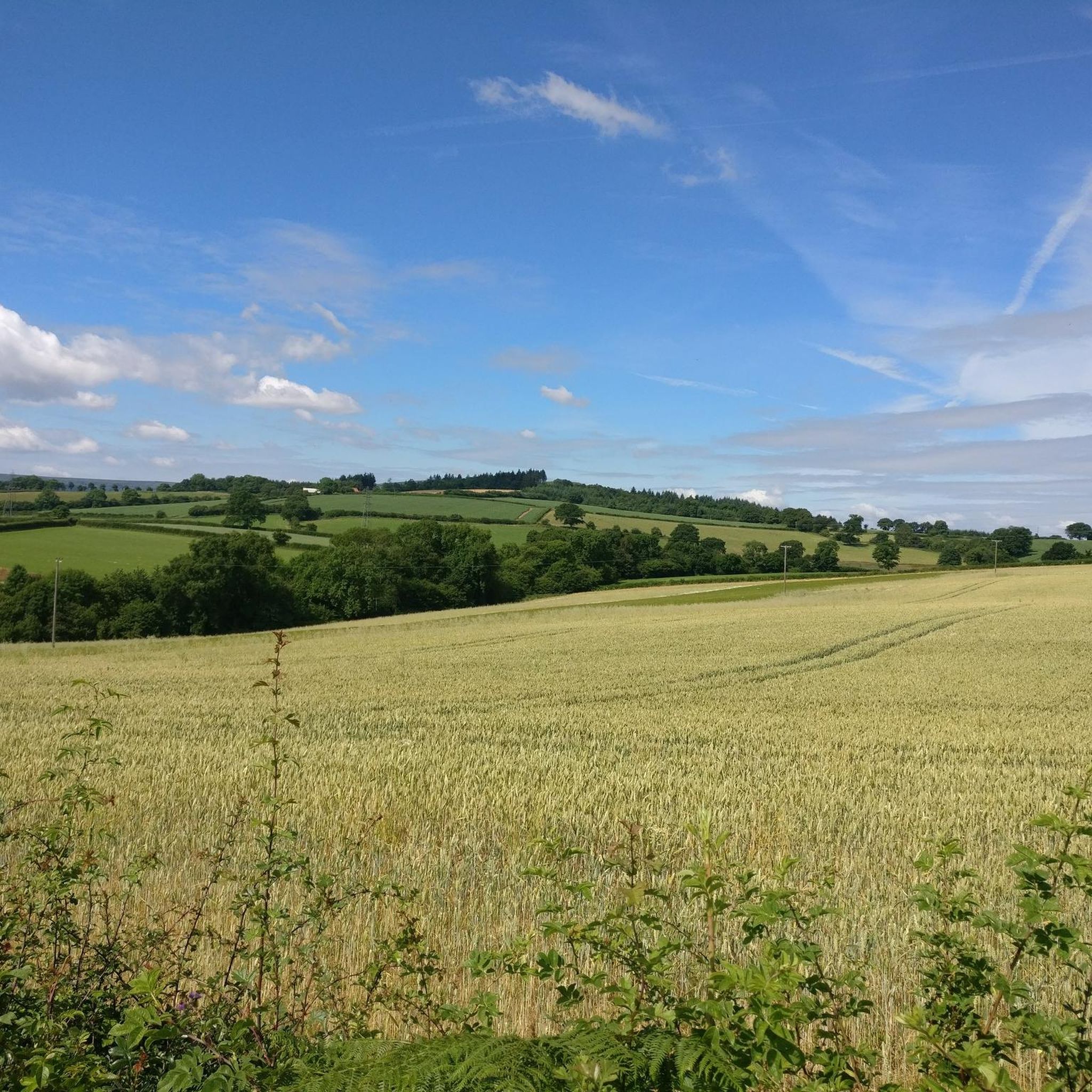
Cycling around Gobion Fawr
Road Cycling Routes around Gobion Fawr
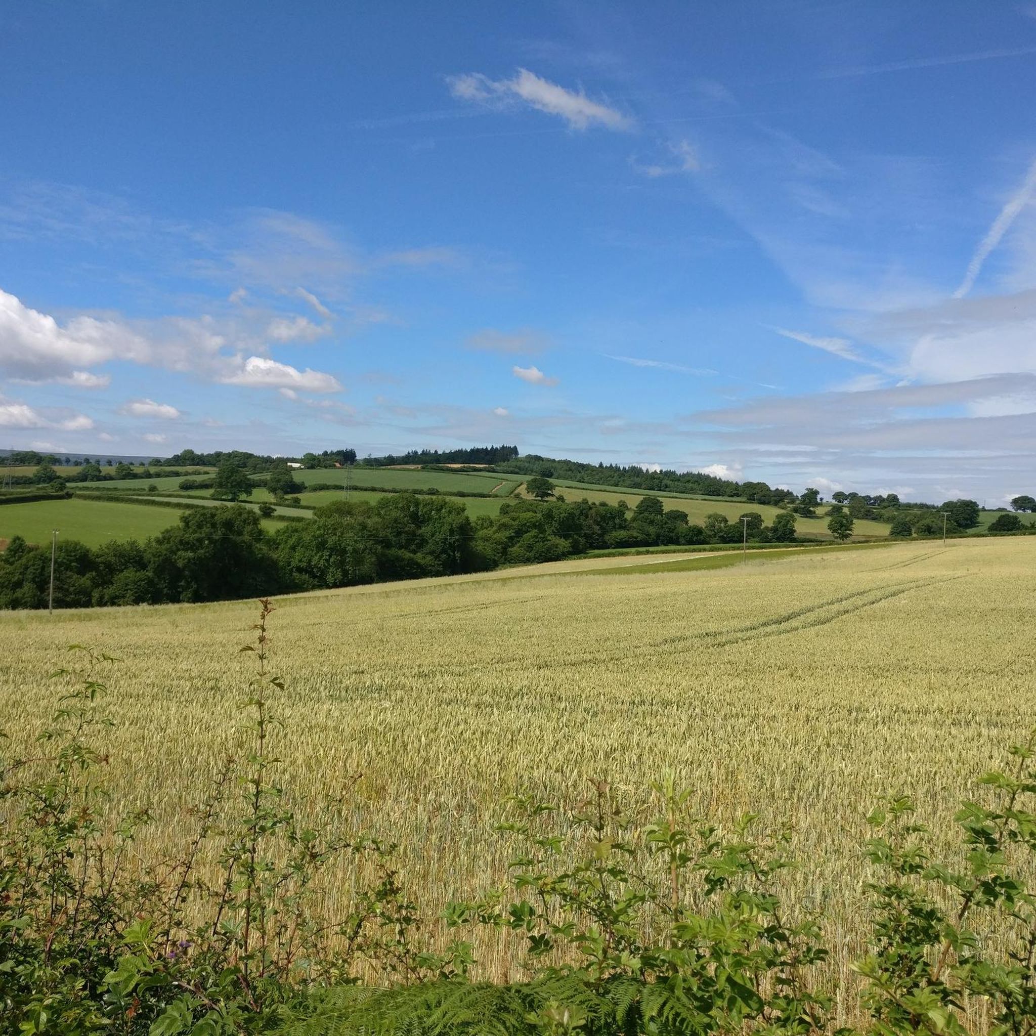
Hiking around Gobion Fawr

Gravel biking around Gobion Fawr
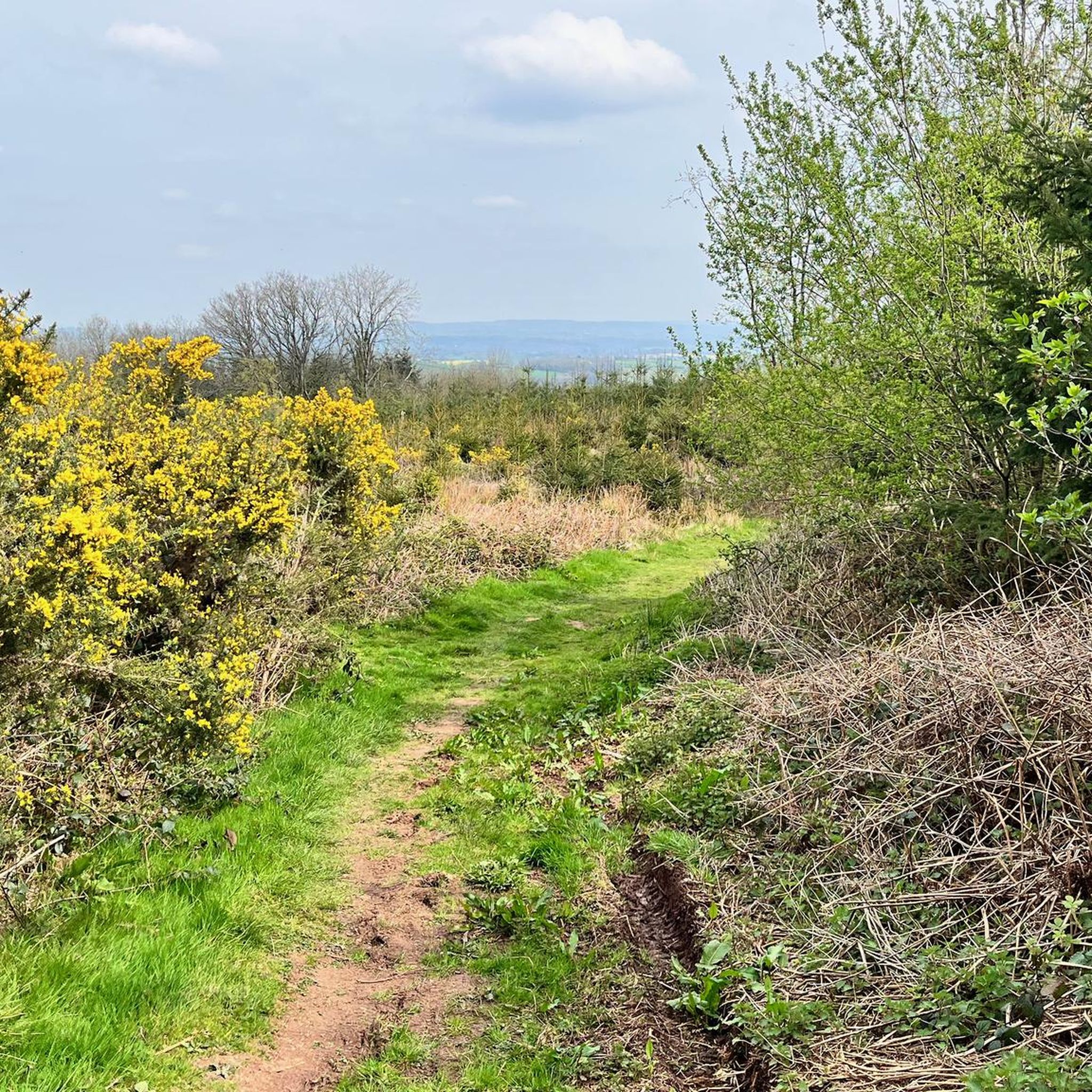
MTB Trails around Gobion Fawr
Other adventures around Gobion Fawr


Tips from the Community

Fine little hill, Black Mountains outlier. Steepish at first but a straightforward and rewarding outing.
0
0

Very nice bridge not for traffic though as it’s a single lane track with passing gaps for pedestrians.
0
0

Nice scenic place to start a ride from. car park, and good routes from here
0
0

800 year old remains of a Norman motte and bailey castle in a pleasant community play park.
1
0

Easy accent if climbing from the side of the national trust carpark. For a more challenging climb, accend from the opposite side.
0
0

Great town to ride through or to on a day out. Array of coffee shops to lunch and refuel at.
0
0
Frequently Asked Questions
How many running routes are available around Gobion Fawr?
There are over 15 dedicated running routes around Gobion Fawr listed on komoot, offering a variety of experiences for different fitness levels. The area is part of the Brecon Beacons National Park, providing a rich network of trails.
What kind of terrain can I expect on the jogging routes in Gobion Fawr?
The terrain around Gobion Fawr is incredibly varied, ranging from challenging mountain paths with significant elevation gain, such as the Sugar Loaf loop from Abergavenny, to more gentle riverside paths and shaded woodlands. You'll encounter mountain ranges, extensive moorland, and deep, forested gorges, characteristic of the Fforest Fawr UNESCO Global Geopark.
Are there any notable landmarks or attractions to see while running in the Gobion Fawr area?
Absolutely! The region is rich in natural and historical landmarks. You can encounter prominent summits like Blorenge summit, Skirrid Fawr summit, and Sugar Loaf Summit. There are also beautiful bodies of water such as Keeper's Pond and Llandegfedd Reservoir. The broader Fforest Fawr area also features historical sites like Castell Coch and is part of the Taff Trail, a long-distance path.
What do other runners say about the trails in Gobion Fawr?
The running routes in Gobion Fawr are highly rated by the komoot community, with an average score of 4.8 stars from over 13 reviews. Runners often praise the diverse terrain, the challenging ascents, and the panoramic views across the surrounding hills and valleys, especially on routes like the Rholben Ridge – Sugar Loaf Summit loop from Abergavenny.
Are there any easy or moderate jogging routes in Gobion Fawr for beginners?
While many routes in the immediate Gobion Fawr area are rated as difficult due to significant elevation changes and mountain terrain, there are some moderate options available. The broader Fforest Fawr UNESCO Global Geopark, which encompasses Gobion Fawr, offers a range of trails including riverside paths and forest roads that are suitable for lighter jogs or those seeking less challenging runs. It's advisable to check the route details for elevation and distance before heading out.
Can I bring my dog on the running trails around Gobion Fawr?
Many trails in the Brecon Beacons National Park, including those around Gobion Fawr, are dog-friendly. However, it's crucial to keep dogs under close control, especially in areas with livestock or ground-nesting birds. Always follow the Countryside Code, which advises keeping dogs on a lead near farm animals and during nesting seasons. Some routes might have stiles that are difficult for larger dogs.
Are there circular running routes available in the Gobion Fawr area?
Yes, many of the popular running routes around Gobion Fawr are circular, allowing you to start and finish at the same point. Examples include the Sugar Loaf loop from Abergavenny and the Rholben Ridge – Sugar Loaf Summit loop from Abergavenny, which offer rewarding loops through the scenic landscape.
What is the best time of year to go running in Gobion Fawr?
The Fforest Fawr region offers beautiful running conditions throughout the year, but each season has its charm. Spring brings vibrant displays of bluebells and wild garlic in the woodlands. Summer offers longer daylight hours and generally warmer weather, ideal for longer runs. Autumn provides stunning foliage, while winter can offer crisp, clear days with snow on the higher peaks, though conditions can be challenging and require appropriate gear. Always check local weather forecasts before your run.
Are there options for long-distance running or ultra-marathon training in Gobion Fawr?
Yes, Gobion Fawr and the surrounding Brecon Beacons National Park provide excellent opportunities for long-distance running and ultra-marathon training. Routes like The Blorenge Summit – Sugar Loaf Summit loop from Abergavenny, at nearly 46 km with significant elevation, are perfect for endurance training. The Taff Trail, which passes through Fforest Fawr, also offers extensive mileage on varied surfaces.
Where can I find parking for the running trails around Gobion Fawr?
Parking is generally available at key access points for trails, particularly near popular starting points like Abergavenny. Specific parking information can often be found in the details of individual komoot routes. It's advisable to check the route description for designated parking areas before you set off.
Is public transport available to reach the running routes in Gobion Fawr?
Public transport options to reach the trailheads around Gobion Fawr and the wider Brecon Beacons National Park can be limited, especially for more remote starting points. Abergavenny, being a larger town, has better public transport links. For specific routes, it's best to research local bus services or consider car sharing to reach your desired starting location.
Are there any waterfalls I can see while jogging in the region?
While the immediate Gobion Fawr area is more known for its mountain and moorland, the wider Fforest Fawr UNESCO Global Geopark is home to the famous 'Waterfall Country'. Rivers like the Nedd, Mellte, and Hepste have carved deep, forested gorges with stunning waterfalls. While not directly on the listed Gobion Fawr routes, these are a significant natural feature of the broader region and can be explored separately.
Are there any cafes or pubs near the running routes in Gobion Fawr?
Yes, particularly in and around towns like Abergavenny, which serves as a common starting point for many routes, you'll find various cafes, pubs, and accommodation options. After a challenging run, you can enjoy refreshments and local hospitality. For more remote trailheads, amenities might be scarcer, so planning ahead is recommended.
Most popular routes around Gobion Fawr
Most popular attractions around Gobion Fawr

Get inspired with the komoot mobile app


Explore more
Browse the best Running Trails & Routes in other regions.
