The best road cycling routes around Pontypridd Town
4.3
(155)
8,917
riders
17
rides
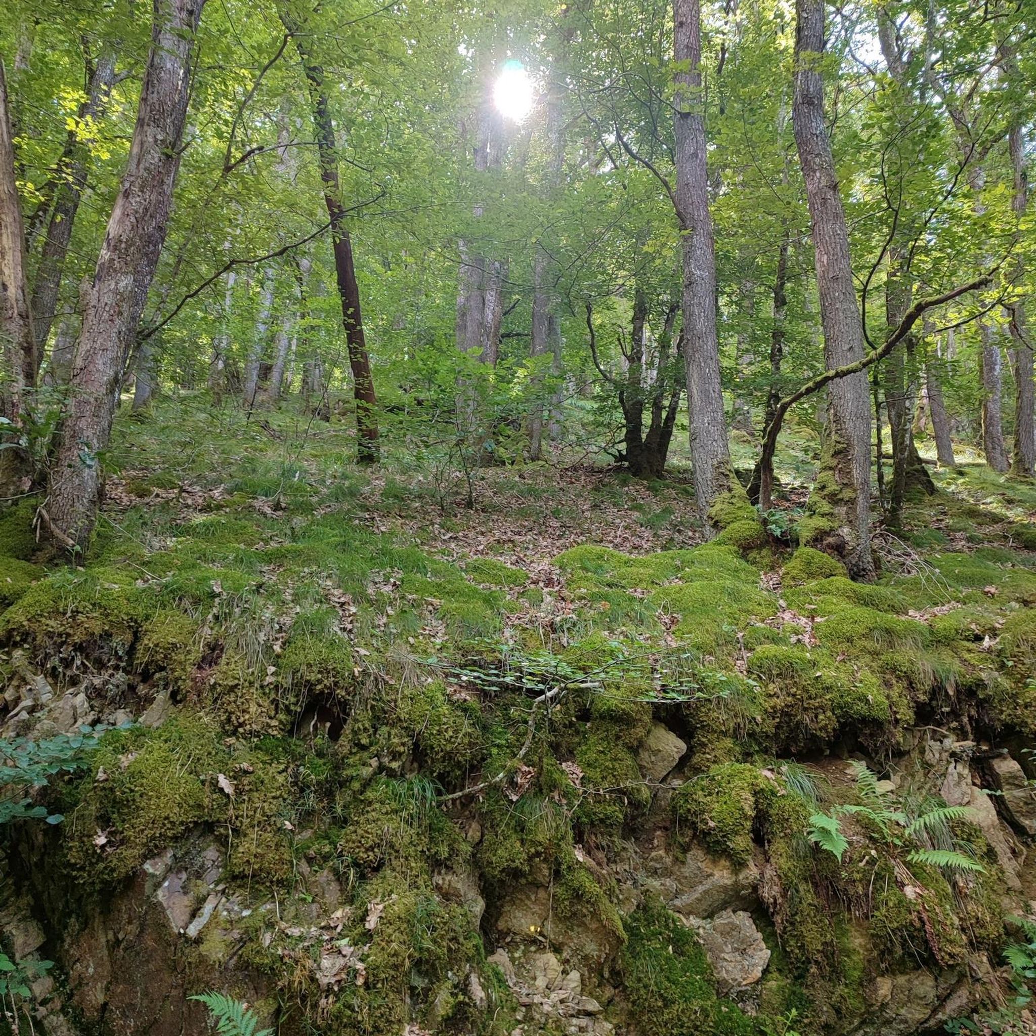
Road cycling routes around Pontypridd Town offer diverse landscapes, from river valleys to challenging hill climbs. The region is characterized by the confluence of the Taff and Rhondda rivers, surrounded by the picturesque hills of Rhondda Cynon Taf. Cyclists can find routes that navigate through verdant woodlands, open moorland, and along well-surfaced paths, providing varied terrain for exploration. This area serves as a gateway to both demanding ascents and scenic, leisurely rides.
Best road cycling routes around Pontypridd Town
- The most popular road cycling route is Who? Cult Coffee & Donuts loop from Treforest Estate, a 62.4 miles (100.5 km) trail that takes 4 hours 38 minutes to complete. This route features significant elevation gain and varied terrain.
- Another top favourite among local road cyclists is Ogmore Beach – Ogmore-by-Sea Beach loop from Treforest Estate, a difficult 49.2 miles (79.2 km) path. This route offers a journey through diverse landscapes, including coastal sections.
- Local road cyclists also love the Penderyn Moor Climb – Beacons Reservoir loop from Pontypridd, a 62.9 miles (101.2 km) trail leading through moorland and past reservoirs, often completed in about 4 hours 42 minutes.
- Road cycling around Pontypridd Town is defined by river valleys, challenging hills, and open moorland. The network offers options for different ability levels, from moderate rides to routes demanding very good fitness.
- The routes in Pontypridd Town are highly rated by the komoot community with an average score of 4.9 stars from 6 reviews. More than 390 road cyclists have used komoot to explore Pontypridd Town's varied terrain.
Last updated: October 29, 2026
5.0
(1)
95
riders
98.1km
04:30
1,050m
1,050m
Hard road ride. Very good fitness required. Some segments of this route may be unpaved and difficult to ride.
4.5
(2)
159
riders
76.5km
03:21
590m
590m
Moderate road ride. Good fitness required. Mostly well-paved surfaces and easy to ride.

30
riders
21.5km
00:57
160m
160m
Easy road ride. Mostly well-paved surfaces and easy to ride.
18
riders
101km
04:44
1,120m
1,120m
Hard road ride. Very good fitness required. Mostly well-paved surfaces and easy to ride.
17
riders
66.6km
02:59
610m
610m
Moderate road ride. Good fitness required. Mostly well-paved surfaces and easy to ride.
Get access to more routes and recommendations from other explorers.
Already have an account?
Our route recommendations are based on thousands of hikes, rides, and runs completed by other people on komoot.
Start today with a free account
Your next adventure awaits.
Tips from the Community

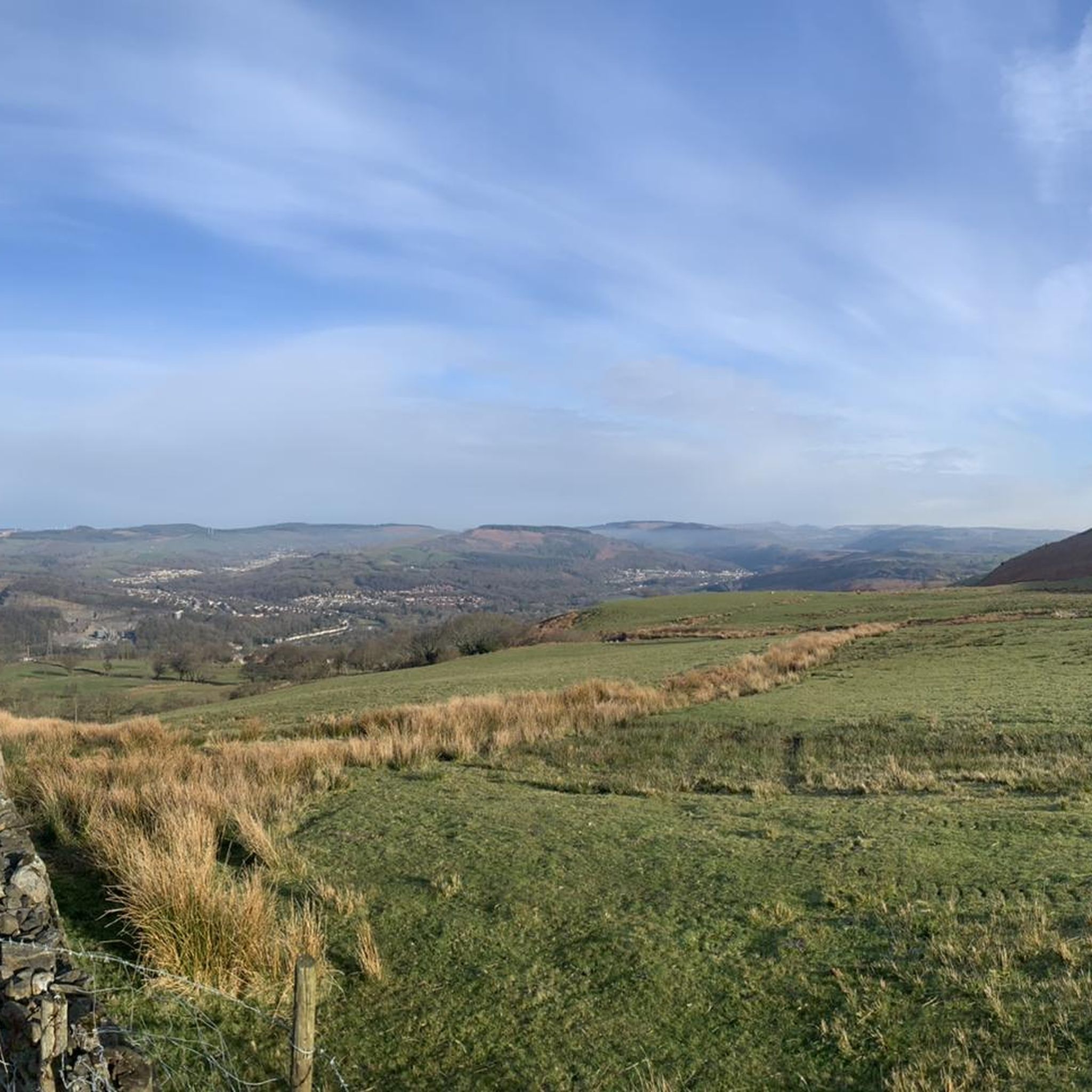
Climbing the Bwlch Mountain southwards from Treorchy (A4061) is a classic South Wales Valleys experience, offering a long, steady ascent. The road winds up from the Rhondda valley onto open moorland where the main challenge often becomes the significant exposure to wind. Enjoy the sweeping panoramic views from the top of this popular and rewarding climb.
0
0

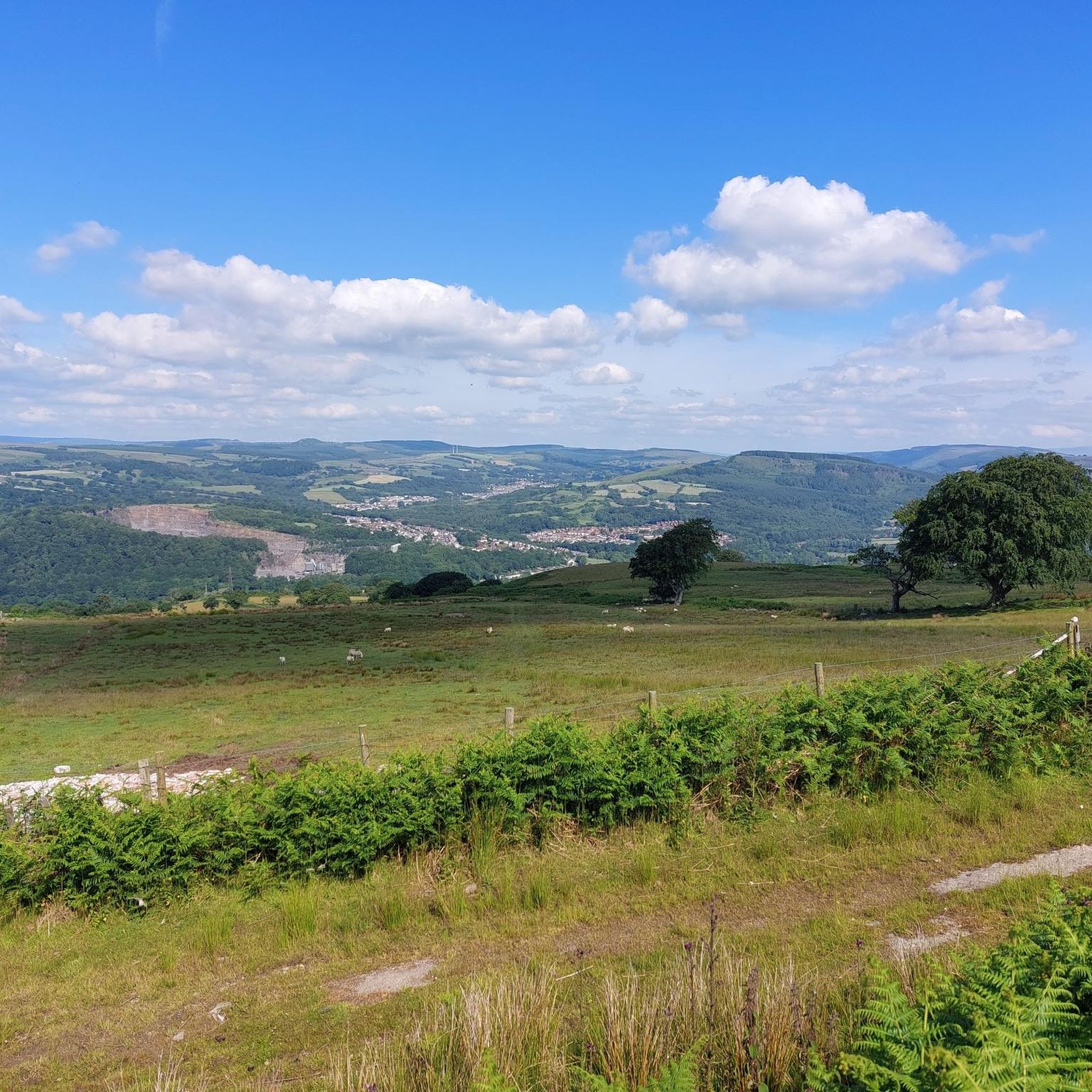
You can enjoy lovely views of the town and Afon Valley from this high up viewpoint on Pontrhydyfen Viaduct. The viaduct itself was build in 1898 by the Port Talbot Railway.
1
0

Awesome Coffee / Tea, Cakes, Pastires and Savouries. Amazing views too Community Hall Slon Lane Ogmore by Sea CF32 0PN Opening Times Monday – Sunday 9 till 4
0
0

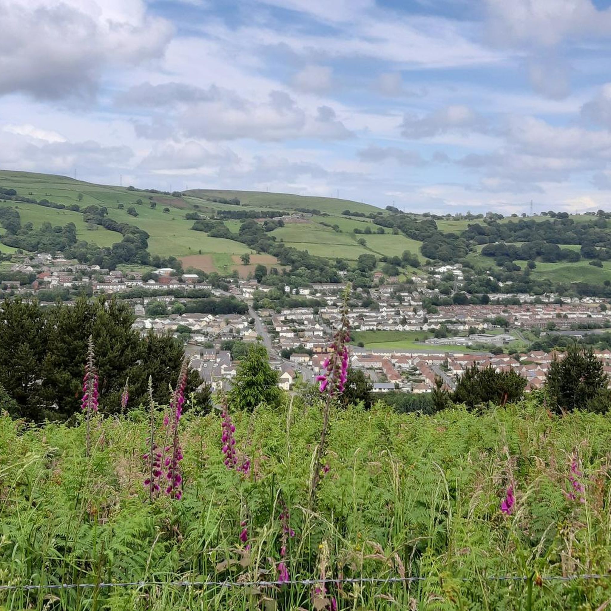
An epic ride to climb one of the most scenic vistas in the Southeast Valleys of Wales. ... This route is brutal. It's long. It's hard. It can break your soul.
0
0

Dunraven Bay, also known as Southerdown, named after the nearby village, is a small and sandy beach on the South Coast of Wales. The beach is equipped with facilities for visitors, and higher on the cliff tops, you'll find Dunraven Gardens. The Limestone cliffs around the bay offer some impressive geological formations, with layers of sedimentary rocks being visible. The bay is also an excellent area for fossil hunting, with plenty of Jurassic-period fossils to be found on the shore.
0
0

Situated in the beautiful wilderness between the Breacon Beacons and the Black Mountain overlooked by the hills of Fan Fawr and Fan Gihirych, Maen Llia is a truly massive sliver of rock. While it is over 3.5 metres tall and nearly 3 metres wide, it is only 75 centimetres thick and bears a striking resemblance to a giant Neolithic hand axe. Although it is aligned north to south, the sides of the rock become surprisingly warm to the touch on a sunny day. This must have been an important pass between the hills, both to the local prehistoric population and to the Romans who came this way some 3000 years later - they built the road 'Sarn Helen' right by the stone and the current road still follows part of its course.
0
0

Pontrhydyfen is a small former coal mining community at the confluence of the River Afan and the Afon Pelenna. It is distinguished by two large 19th-century bridges that span the valley: a railway viaduct (the red bridge) and a former aqueduct, known as Y Bont Fawr ("The Big Bridge").
1
0
The northernmost and highest of the three reservoirs in the Taff Fawr valley.
1
0
Frequently Asked Questions
How many road cycling routes are available around Pontypridd Town?
There are over 15 dedicated road cycling routes around Pontypridd Town, catering to various skill levels. These routes offer diverse landscapes, from river valleys to challenging hill climbs.
Are there road cycling routes suitable for beginners or those seeking an easy ride?
Yes, Pontypridd offers a few easier road cycling routes. While many routes involve significant elevation, you can find options that are less demanding. Some sections of the Taff Trail, for instance, are well-surfaced and suitable for confident cyclists looking for a more relaxed experience.
What kind of challenging road cycling routes can I find in the Pontypridd area?
Pontypridd is known for its challenging climbs. You can tackle iconic ascents like the Bwlch Mountain, offering panoramic views, or the Garth Hill Climb. Routes such as the Penderyn Moor Climb – Beacons Reservoir loop from Pontypridd are particularly demanding, featuring over 1,100 meters of elevation gain.
What scenic landmarks or viewpoints can I expect to see along the road cycling routes?
Many routes offer stunning vistas. You can ride up to Graig Llanishen or the summit of Garth Mountain for views over Pontypridd, the Taff Valley, Cardiff, and even the Bristol Channel. The Cefn Eglwysilan Trig Point – View of the Taff Valley loop from Cilfynydd specifically highlights a viewpoint. Other notable sights include the historic Rocking Stones on Pontypridd Common and the confluence of the Taff and Rhondda rivers.
Are there any long-distance road cycling routes near Pontypridd?
Yes, Pontypridd is a great starting point for longer rides. The Taff Trail, a 55-mile route from Cardiff to Brecon, passes through the town, offering extensive cycling opportunities. For a challenging long-distance option, consider the Aberavon Beach Promenade – Swansea Marina loop from Trefforest, which covers over 130 kilometers.
What do other road cyclists enjoy the most about road cycling in Pontypridd Town?
The area is highly rated by the komoot community, with an average score of 4.9 stars from 6 reviews. Cyclists often praise the diverse terrain, from river valleys to challenging hills, and the opportunity to explore both verdant woodlands and open moorland. The variety of routes catering to different ability levels is also frequently highlighted.
Are there any circular road cycling routes available?
Yes, many of the road cycling routes around Pontypridd Town are designed as loops, allowing you to start and finish in the same location. Examples include the popular Who? Cult Coffee & Donuts loop from Treforest Estate and the Ogmore Beach – Ogmore-by-Sea Beach loop from Treforest Estate.
What attractions or points of interest can I explore near the cycling routes?
Beyond the cycling, you can visit the Garth Summit for panoramic views, or the Cefn Eglwysilan Trig Point. The Ynysangharad War Memorial Park, with the Pontypridd Lido, is a great spot for relaxation. The Rhondda Valley Heritage Park offers insights into the region's history, and Dare Valley Country Park is family-friendly. For more natural beauty, explore the woodlands of Cilfynydd or the nearby Brecon Beacons National Park.
Is Pontypridd well-connected to the National Cycle Network?
Yes, Pontypridd is well-integrated into the National Cycle Network. Routes like 4 and 881 pass through or near the town, often providing traffic-free paths. This connectivity allows for extended rides and access to areas like Barry Sidings Countryside Park.
Where can I find more information about cycling routes in the Rhondda Cynon Taf area?
For additional information on cycling routes within the wider Rhondda Cynon Taf county borough, you can visit the local council's website: rctcbc.gov.uk. This resource can provide further details on local cycling infrastructure.
Are there any specific routes that offer coastal views?
Yes, some routes extend towards the coast, offering a change of scenery. The Ogmore Beach – Ogmore-by-Sea Beach loop from Treforest Estate is a moderate route that includes coastal sections, providing a refreshing contrast to the valley and moorland rides.
What is the best time of year for road cycling in Pontypridd?
The spring and summer months generally offer the most favorable conditions for road cycling in Pontypridd, with milder weather and longer daylight hours. However, the diverse landscapes can be enjoyed year-round, though some higher elevation routes might be more exposed to wind and weather in colder months.
Most popular routes around Pontypridd Town
Most popular attractions around Pontypridd Town

Get inspired with the komoot mobile app


Explore more
Browse the best Road cycling routes in other regions.
