The best walks and hikes around Higher Kinnerton
4.3
(397)
5,576
hikers
197
hikes
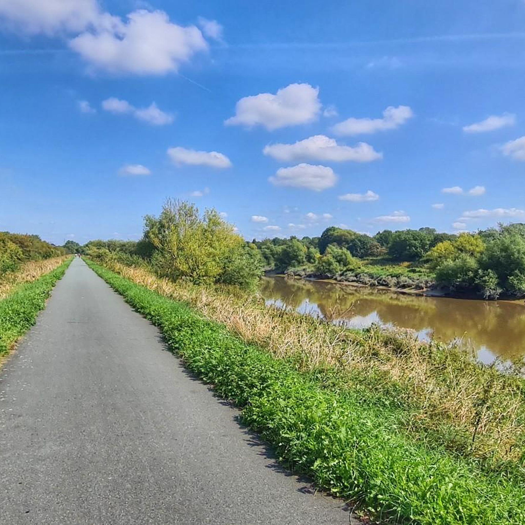
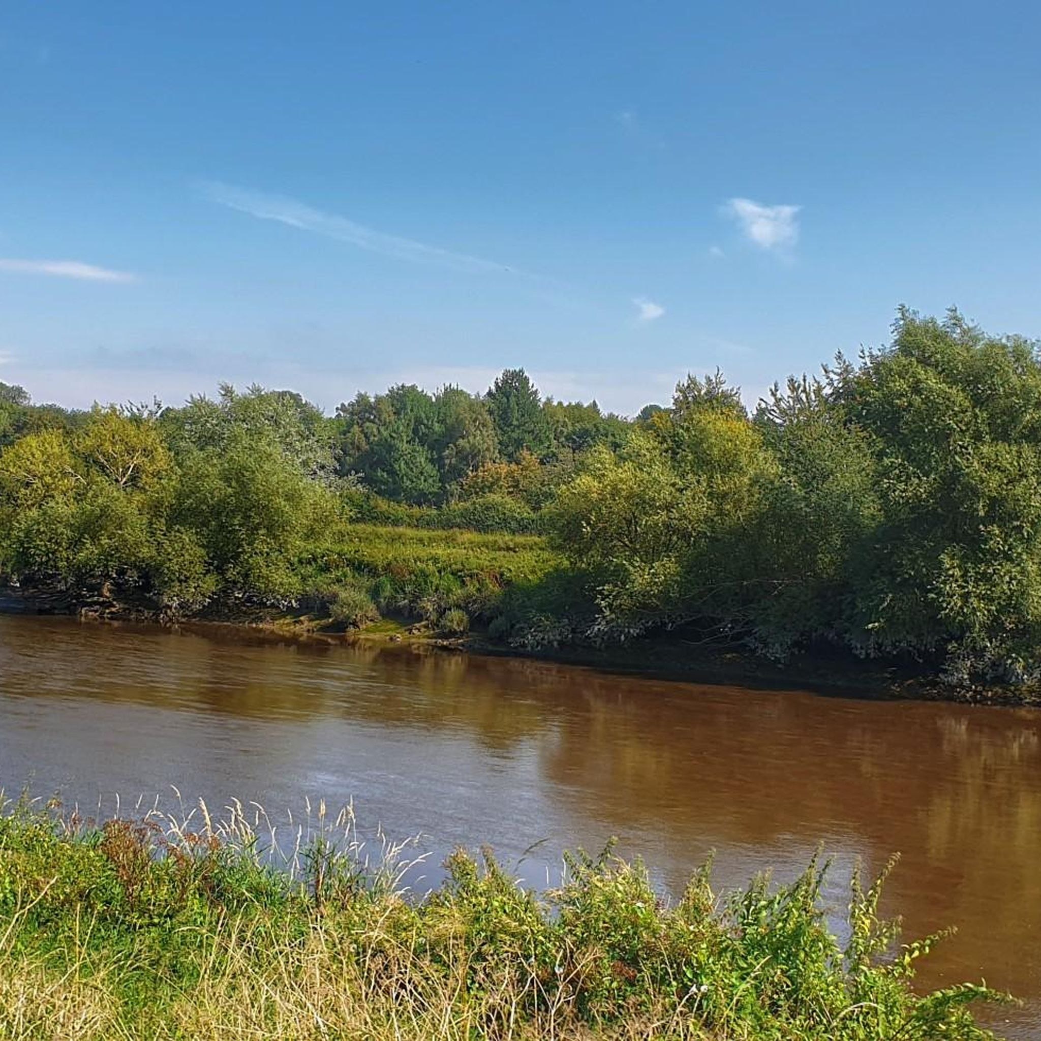
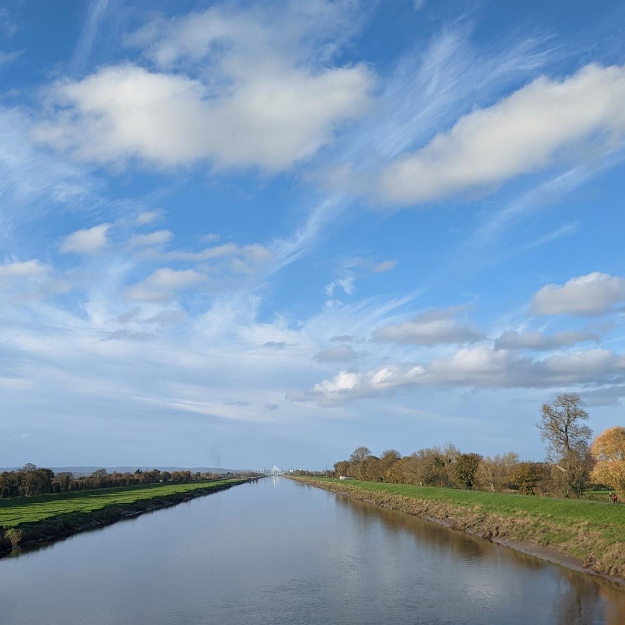
Hiking around Higher Kinnerton offers diverse landscapes, including woodlands, quiet country lanes, and open fields. Many routes provide picturesque views across the surrounding countryside and towards Chester. The area features historical paths, such as old railway lines, and connects to hamlets with historic farm buildings. The terrain varies, providing options for different fitness levels.
Best hiking trails around Higher Kinnerton
- The most popular hiking route is Hawarden Park – Footbridge Across the A55 loop from Hawarden Castle, a 4.4…
Last updated: June 25, 2026
4.8
(5)
44
hikers
7.44km
02:01
100m
100m
Moderate hike. Good fitness required. Easily-accessible paths. Suitable for all skill levels.
5.0
(1)
45
hikers
Easy hike. Great for any fitness level. Easily-accessible paths. Suitable for all skill levels.

Sign up for free
5.0
(1)
38
hikers
3.91km
01:04
60m
50m
Easy hike. Great for any fitness level. Easily-accessible paths. Suitable for all skill levels.
4.3
(4)
14
hikers
11.1km
03:17
310m
310m
Moderate hike. Good fitness required. Easily-accessible paths. Suitable for all skill levels.
4.7
(3)
12
hikers
Moderate hike. Good fitness required. Easily-accessible paths. Suitable for all skill levels.
Get access to more routes and recommendations from other explorers.
Sign up for free
Already have an account?
Our route recommendations are based on thousands of hikes, rides, and runs completed by other people on komoot.
Start today with a free account
Your next adventure awaits.
Login or Signup
Tips from the Community


Honey's Bakery Fancy tucking into a gorgeous afternoon tea? Honey’s Bakery in Wrexham is a dog-friendly café located at a stunning spot next to the Alun River. Here you can relax with breakfast or brunch, sandwiches and cakes, as well as cups of tea and superb coffee. The cosy atmosphere and welcoming staff make Honey’s the perfect place for a pitstop, whether you are exploring the area, catching up with friends, or simply fancy a treat.
1
0
If busy with pedestrians best to walk across instead of ride
2
0

I chose to turn around at this point due to the thickness of the mud and the trail surface being bad
0
0
This is a free parking car park. Located on the northern side of the trail close to Hawarden Castle
0
0
The track gets close to the wall along this section. The surface does have small rock obstacles and becomes a slight challenge
0
0
This part of the trail was where the surfaces started to get muddy and a bit wet. Mountain bikers are used to these conditions
0
0
There are loads of signs up in these woods saying permits are required to have access. However, a local fella said loads of walkers and dogs use the place and nothing is ever said
1
0
Frequently Asked Questions
What types of landscapes can I expect to see while hiking around Higher Kinnerton?
Hiking around Higher Kinnerton offers a diverse mix of scenery. You'll traverse woodlands, quiet country lanes, and open fields. Many routes provide picturesque views across the surrounding countryside and towards Chester. The area also features historical paths, including old railway lines, and connects to hamlets with historic farm buildings.
Are there any easy, family-friendly walks in Higher Kinnerton?
Yes, Higher Kinnerton has several easy walks suitable for families. The Hawarden Park loop from Buckley is an easy 2.5-mile (4.1 km) path, perfect for an accessible stroll. Another great option is the Hawarden Park – Footbridge Across the A55 loop from Hawarden Castle, which is 4.4 miles (7.1 km) and also considered easy.
Where can I find more challenging hikes with significant elevation gain?
For those seeking a more challenging experience, the area offers routes with significant elevation. The Caergwrle Castle Ruins – Mountain Road loop from Hope (Flintshire) is a moderate 6.8-mile (11.0 km) trail with varied terrain and notable ascents. Another moderate option is the Hope Mountain Trig Point loop from Caergwrle, an 11.8 km route known for its elevated perspectives.
Are there any circular walks available in the Higher Kinnerton area?
Many of the trails around Higher Kinnerton are designed as circular routes, allowing you to start and end in the same location. Examples include the Hawarden Park loop from Buckley and the Hope Mountain Trig Point loop from Caergwrle. The Higher Kinnerton Heritage Trail is also a 4-kilometer circular walk exploring the village's history.
What historical or natural landmarks can I see along the trails?
The trails often pass by historical features like old railway paths and connect to hamlets with historic farm buildings. For specific landmarks, you might encounter the River Dee Riverside Trail or the Old Dee Bridge Weir. The Caergwrle Castle Ruins – Mountain Road loop from Hope (Flintshire) specifically leads to the ruins of Caergwrle Castle.
What do other hikers enjoy most about the trails in Higher Kinnerton?
The trails in Higher Kinnerton are highly rated by the komoot community, with an average score of 4.3 out of 5 stars from over 300 reviews. Hikers often praise the diverse landscapes, including quiet woodlands and open fields, as well as the picturesque views across the countryside.
Is there parking available near the trailheads?
While specific parking details for every trailhead are not listed, many popular hiking areas like Hawarden Park and starting points in villages such as Buckley or Caergwrle typically offer public parking facilities. It's advisable to check local signage or online maps for designated parking areas before your hike.
Are the trails suitable for dogs?
Many trails in the Higher Kinnerton area, particularly those through woodlands and open fields, are generally dog-friendly. However, always keep dogs under control, especially when passing through livestock areas or nature reserves. Some sections may involve country lanes, so awareness of traffic is important. Always check specific route details for any restrictions.
What is the best time of year to hike in Higher Kinnerton?
Higher Kinnerton offers enjoyable hiking year-round. Spring and summer provide lush greenery and warmer weather, while autumn brings beautiful foliage. In wetter seasons, be aware that some sections, like the railway embankment part of the Higher Kinnerton Heritage Trail, can become muddy after rain. Always check the weather forecast before heading out.
How long do the hikes typically take to complete?
The duration of hikes varies depending on the route and your pace. Easy walks like the Hawarden Park loop from Buckley can be completed in about 1 hour 7 minutes. More moderate trails, such as the Honey's Bakery Riverside Café – Caergwrle Castle Ruins loop from Caergwrle, typically take around 2 hours 20 minutes.
Are there any routes that offer scenic viewpoints?
Yes, several routes provide excellent scenic views. The region is known for picturesque vistas across the surrounding countryside and towards Chester. For elevated perspectives, consider the Hope Mountain Trig Point loop from Caergwrle, which offers expansive views.
Can I access the hiking trails using public transport?
Higher Kinnerton and surrounding villages like Buckley and Caergwrle are served by local bus routes, which can provide access to various starting points for hikes. For detailed public transport information, it's best to consult local bus schedules or journey planners specific to the area you plan to start your hike from.
Most popular routes around Higher Kinnerton
Most popular attractions around Higher Kinnerton

Get inspired with the komoot mobile app


Explore more
Browse the best Hikes in other regions.
