The best cycling routes around Uzmaston, Boulston And Slebech
4.4
(92)
1,523
riders
28
rides
Touring cycling routes around Uzmaston, Boulston And Slebech traverse a diverse landscape in Pembrokeshire, Wales. The area features undulating hills and green fields, contrasting with the dramatic coastal paths and cliffs of the nearby Pembrokeshire Coast National Park. River valleys, such as that of the Daugleddau, offer more tranquil cycling experiences, while areas like Canaston Woods provide natural, accessible environments. This region combines varied terrain suitable for different cycling preferences.
Best touring cycling routes around Uzmaston, Boulston And Slebech
- The…
Last updated: July 5, 2026
65
riders
56.6km
03:30
550m
550m
Hard bike ride. Very good fitness required. Mostly paved surfaces. Suitable for all skill levels.
4.0
(1)
20
riders
48.8km
02:58
410m
410m
Moderate bike ride. Good fitness required. Mostly paved surfaces. Suitable for all skill levels.

Sign up for free
10
riders
51.3km
03:13
540m
540m
Hard bike ride. Very good fitness required. Mostly paved surfaces. Suitable for all skill levels.
7
riders
30.5km
01:52
260m
260m
Moderate bike ride. Good fitness required. Mostly paved surfaces. Suitable for all skill levels.
7
riders
58.6km
03:32
470m
470m
Hard bike ride. Very good fitness required. Mostly paved surfaces. Suitable for all skill levels.
Get access to more routes and recommendations from other explorers.
Sign up for free
Already have an account?
Our route recommendations are based on thousands of hikes, rides, and runs completed by other people on komoot.
Start today with a free account
Your next adventure awaits.
Login or Signup
Popular around Uzmaston, Boulston And Slebech
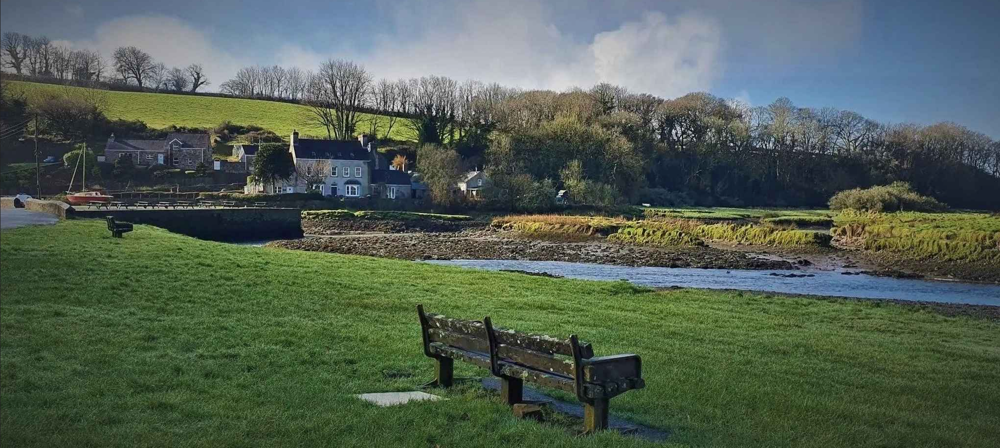
Daugleddau Estuary – Pembrokeshire walks
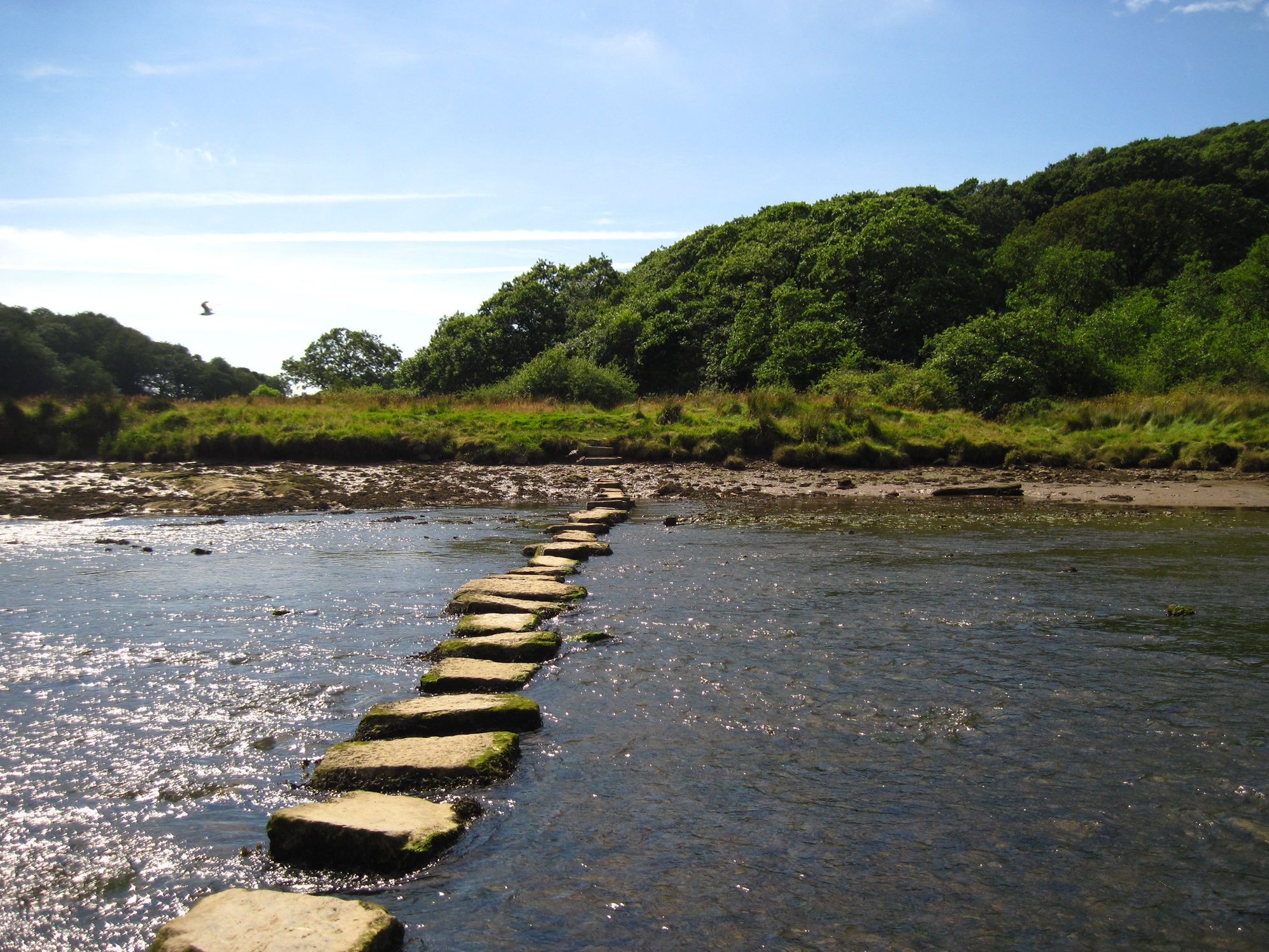
Frontier hiking in South West Wales — Landsker Borderlands Trail
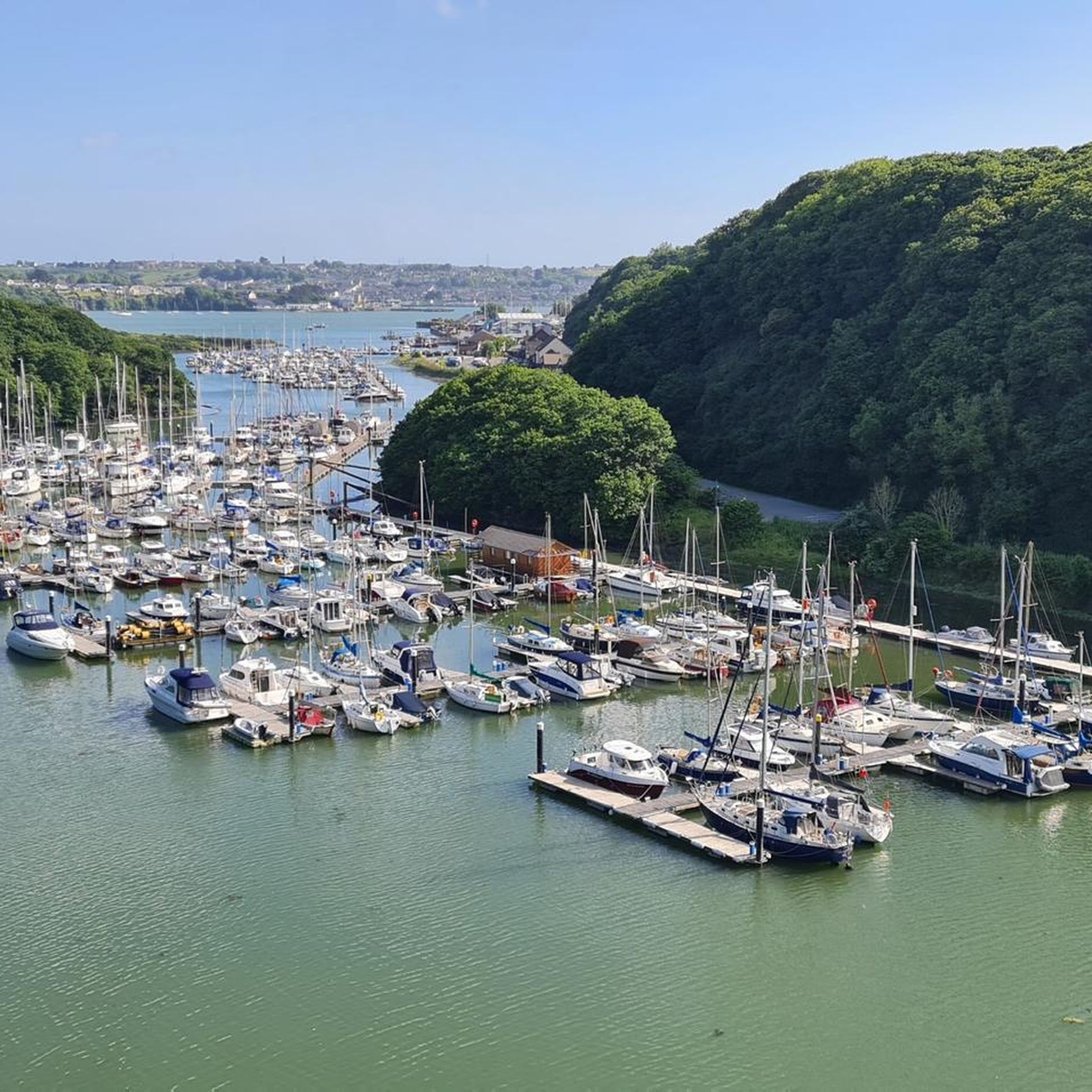
Hiking around Uzmaston, Boulston And Slebech
MTB Trails around Uzmaston, Boulston And Slebech
Road Cycling Routes around Uzmaston, Boulston And Slebech
Running Trails around Uzmaston, Boulston And Slebech
Other adventures around Uzmaston, Boulston And Slebech


Tips from the Community

Get to the car-parking early as it is very limited. Some cars have to park on steep slopes, the level parking fills up first. There are public toilets open at peak times
1
0

This lovely road skirts around the edge of Neyland, hugging the Milford Haven estuary. Neyland, once a small fishing village in Llanstadwell parish, transformed in 1856 when it became the western terminus for Isambard Kingdom Brunel's Great Western Railway.
1
0


Roch Castle is now a luxury hotel, but back in the 12th century it was somewhat less accommodating. Built as one of the outer defences of the Landsker, separating Norman-held areas to the South from the Welsh held area to the North. It has a commanding position meaning that it can see, and be seen for miles around.
0
0

Great place to stop for a picnic with benches and views across St Brides. There is a car park just next to here and you can also pick up the coastal path here
0
0
Dale is an unspoilt village that is well worth travelling far into the West for! The area has an abundance of wildlife including birds, seals, dolphins and porpoise. The cliffs and coastal path also provide stunning views and the chance to see a wide variety of beautiful wildflowers.
1
0

Gorsedd Stones are arrangements of standing stones constructed for the National Eisteddfod of Wales for each one. They are scattered throughout Wales and are a nice surprise when you come across one unexpectedly. This particular group of stones was constructed for the Eisteddfod in 1972. https://en.wikipedia.org/wiki/Gorsedd_stones https://www.dreamstime.com/gorsedd-bards-circle-haverfordwest-pembrookshire-stones-are-arrangements-of-standing-stones-constructed-the-national-image101698853
0
0
Dale is an unspoilt village that is well worth travelling far into the West for! Offering safe beaches and lots of water-based activities such as sailing, swimming, surfing, kayaking and windsurfing. The area has an abundance of wildlife including birds, seals, dolphins and porpoise. The cliffs and coastal path also provide stunning views and the chance to see a wide variety of beautiful wild flowers.
1
0
Frequently Asked Questions
How many touring cycling routes are available in the Uzmaston, Boulston And Slebech area?
There are over 30 touring cycling routes available around Uzmaston, Boulston And Slebech. These routes cater to various skill levels, with 12 moderate and 18 difficult options, ensuring a diverse experience for all cyclists.
What kind of terrain can I expect on touring cycling routes around Uzmaston, Boulston And Slebech?
The region offers a diverse landscape for touring cyclists. You'll encounter undulating hills and green fields in the rolling countryside, tranquil river valleys along the Daugleddau, and more challenging sections near the dramatic coastal paths of the Pembrokeshire Coast National Park. Many routes feature mostly paved surfaces, providing a smooth touring experience.
Are there touring cycling routes suitable for beginners or families?
While the area features many moderate and difficult routes, the region also offers gentler options. The Haverfordwest Priory Ruins – Brunel Trail loop from Haverfordwest incorporates sections of the traffic-free Brunel Trail, which is predominantly tarmac and ideal for leisurely rides or as a segment of a longer tour, making it suitable for those seeking an easier experience.
Are there challenging touring cycling routes for experienced cyclists?
Yes, experienced cyclists will find plenty of challenging routes. For instance, the Haverfordwest Priory Ruins – Dale Beach loop from Haverfordwest is a difficult 35.2-mile trail with significant elevation gain, offering coastal views and historical points of interest. Another demanding option is the St David's Cathedral – St David's Cathedral loop from Haverfordwest, covering over 50 miles with nearly 1000 meters of ascent.
What historical landmarks or points of interest can I visit along the touring cycling routes?
Many routes pass by significant historical sites. You can visit impressive structures like Carew Castle, an 11th-century site, or the 12th-century Haverfordwest Castle. Other notable points include Roch Castle and the Cleddau Bridge, offering both historical context and scenic views.
Are there any traffic-free cycling options in the region?
Yes, a significant draw for touring cyclists is the Brunel Trail. This fantastic traffic-free route connects Neyland to Johnston and Haverfordwest, forming part of both National Cycle Route 4 and the Celtic Trail. It's predominantly tarmac, making it ideal for a smooth and safe ride away from vehicle traffic.
What do other touring cyclists say about the routes in Uzmaston, Boulston And Slebech?
The touring cycling routes in Uzmaston, Boulston And Slebech are highly rated by the komoot community, with an average score of 4.4 stars from over 5 reviews. Cyclists often praise the varied terrain, from tranquil river valleys to challenging coastal sections, and the opportunity to combine natural beauty with historical exploration.
Is public transport available to access touring cycling routes in the Uzmaston, Boulston And Slebech area?
Haverfordwest serves as a central hub with public transport connections, including train services, which can be useful for accessing the start points of many touring cycling routes in the wider Pembrokeshire area. Local bus routes also connect various towns and villages, though checking specific routes and bike carriage policies is advisable.
Where can I find parking for touring cycling routes?
Parking is generally available in towns like Haverfordwest, which serves as a common starting point for many routes. For specific trailheads or smaller villages, it's recommended to check local signage for designated parking areas. Many routes are designed as loops from towns, simplifying parking logistics.
Are there any dog-friendly touring cycling routes?
While specific routes may not be explicitly designated 'dog-friendly' for cycling, many public paths and quiet country roads are suitable for cycling with dogs, provided they are well-behaved and on a lead where necessary. Always ensure your dog is comfortable with the distance and terrain, and respect local regulations, especially within the Pembrokeshire Coast National Park.
Are there places to eat or stay along the touring cycling routes?
Yes, the region offers various options for refreshments and accommodation. Towns like Haverfordwest provide a range of cafes, pubs, and hotels. Smaller villages and hamlets along the routes, such as Slebech, may also have local pubs like The Cresselly Arms, Cresswell Quay, or B&Bs that cater to cyclists. It's always a good idea to check opening times and availability, especially in quieter areas.
What is the best time of year for touring cycling in Pembrokeshire?
The spring and summer months (April to September) generally offer the most favorable weather for touring cycling in Pembrokeshire, with milder temperatures and longer daylight hours. However, the region's coastal climate can be unpredictable, so it's always wise to be prepared for changing conditions. Autumn can also be beautiful with vibrant foliage, though days are shorter.
Most popular routes around Uzmaston, Boulston And Slebech
Most popular attractions around Uzmaston, Boulston And Slebech

Get inspired with the komoot mobile app


Explore more
Browse the best Cycling routes in other regions.
