The best road cycling routes around Nantyglo And Blaina
4.5
(42)
3,754
riders
118
rides
Road cycling around Nantyglo And Blaina offers diverse landscapes, transitioning from an industrial past to an environmentally friendly locality. The region features varied terrain, including the Ebbw Fach Valley and Ebbw Fawr Trail, which provide scenic routes. Elevations range significantly, with prominent hills and higher points offering views over surrounding areas. This network of routes caters to road cyclists seeking both moderate and challenging ascents.
Best road cycling routes around Nantyglo And Blaina
- The most popular road cycling route is…
Last updated: July 8, 2026
5.0
(1)
50
riders
54.4km
02:44
640m
640m
Moderate road ride. Good fitness required. Mostly well-paved surfaces and easy to ride.
49
riders
82.8km
04:07
810m
810m
Moderate road ride. Good fitness required. Some segments of this route may be unpaved and difficult to ride.

Sign up for free
3.0
(1)
30
riders
60.4km
03:00
750m
750m
Moderate road ride. Good fitness required. Some segments of this route may be unpaved and difficult to ride.
3.0
(1)
26
riders
76.6km
03:35
810m
810m
Moderate road ride. Good fitness required. Mostly well-paved surfaces and easy to ride.
20
riders
Moderate road ride. Good fitness required. Mostly well-paved surfaces and easy to ride.
Get access to more routes and recommendations from other explorers.
Sign up for free
Already have an account?
Our route recommendations are based on thousands of hikes, rides, and runs completed by other people on komoot.
Start today with a free account
Your next adventure awaits.
Login or Signup
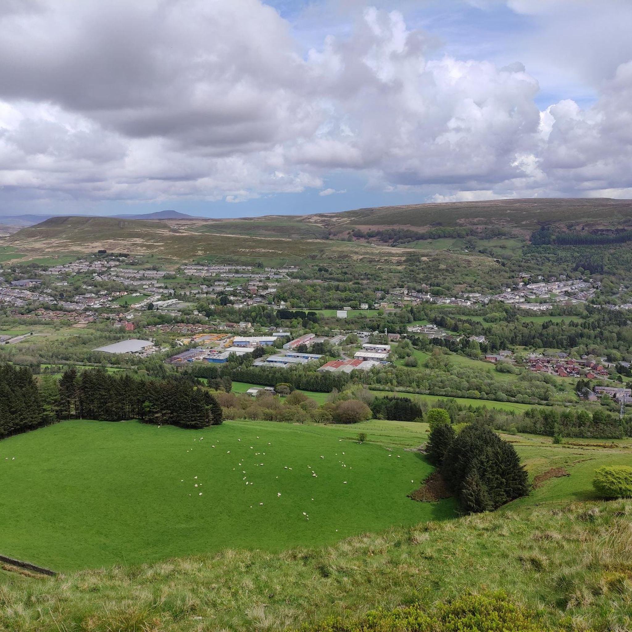
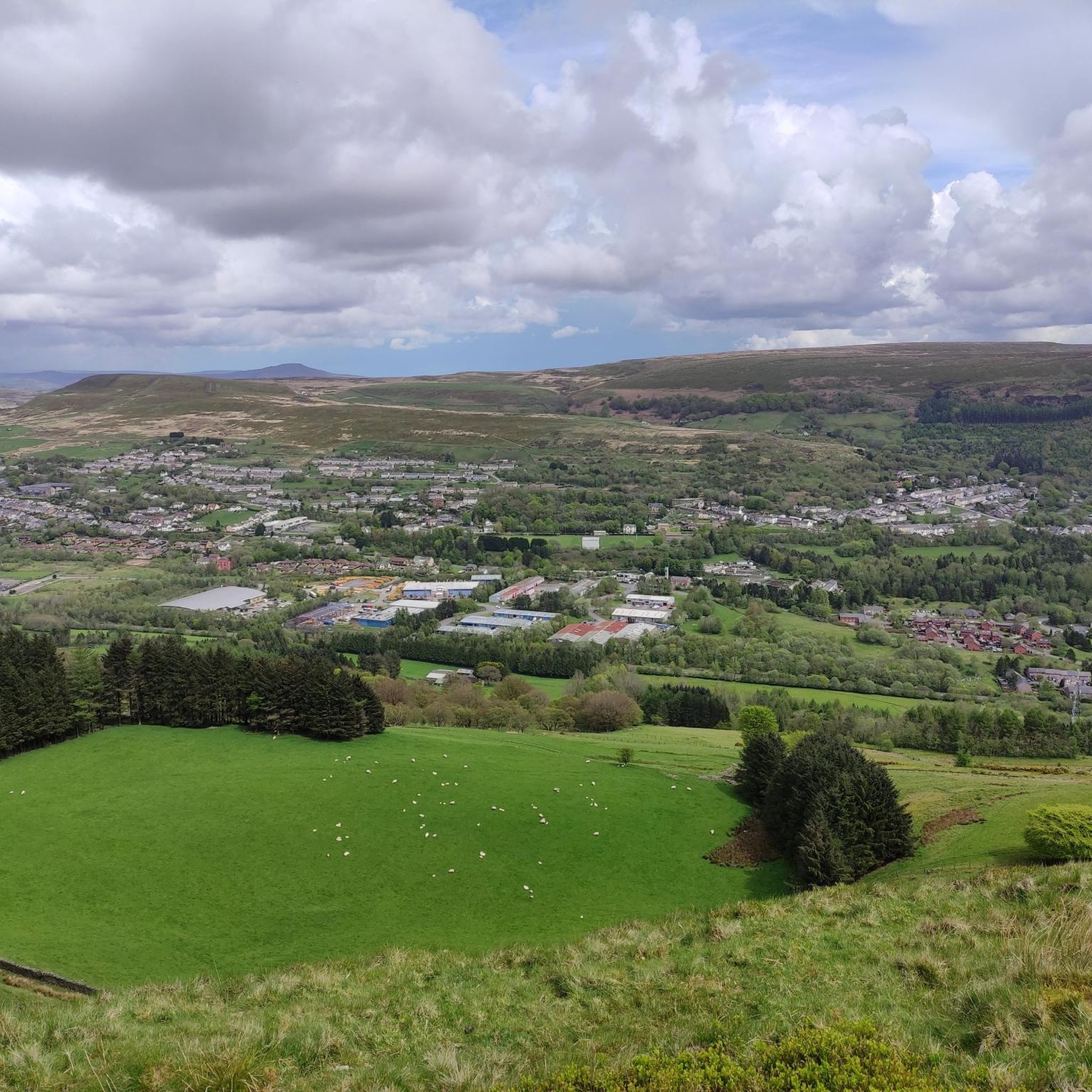
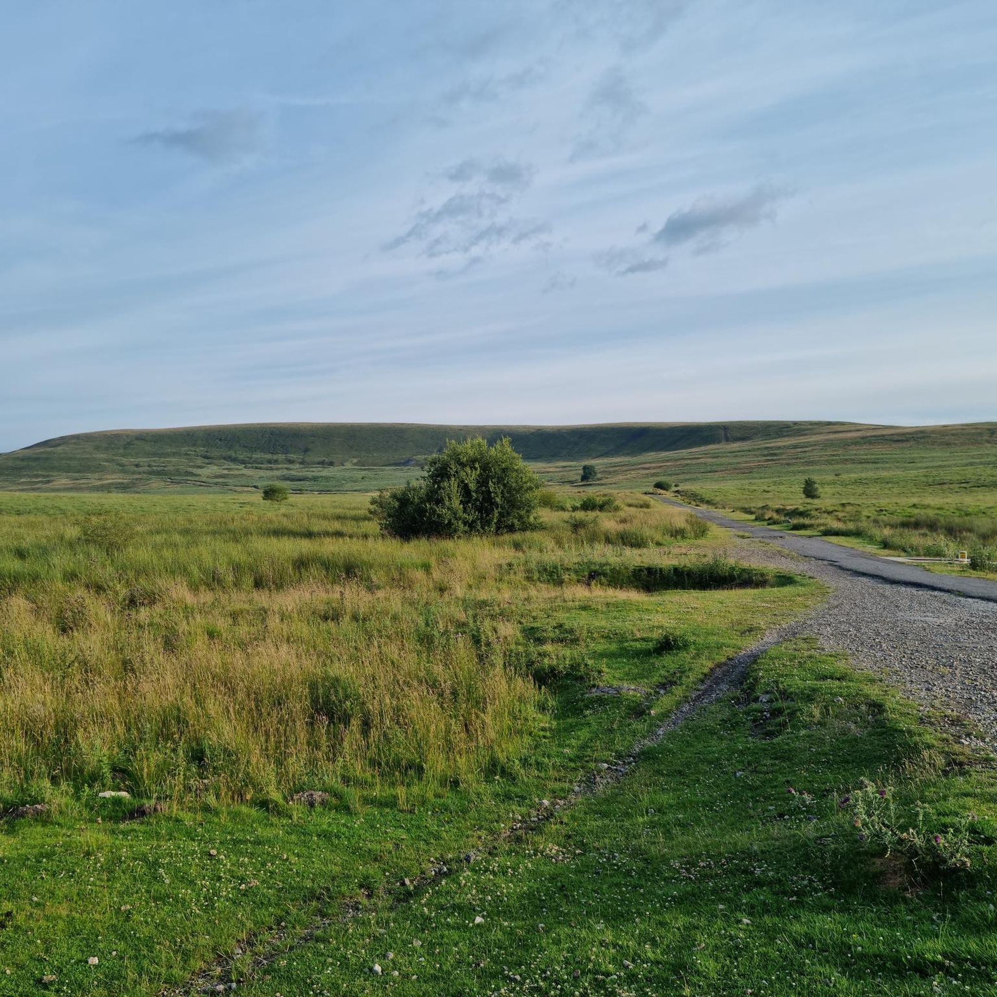

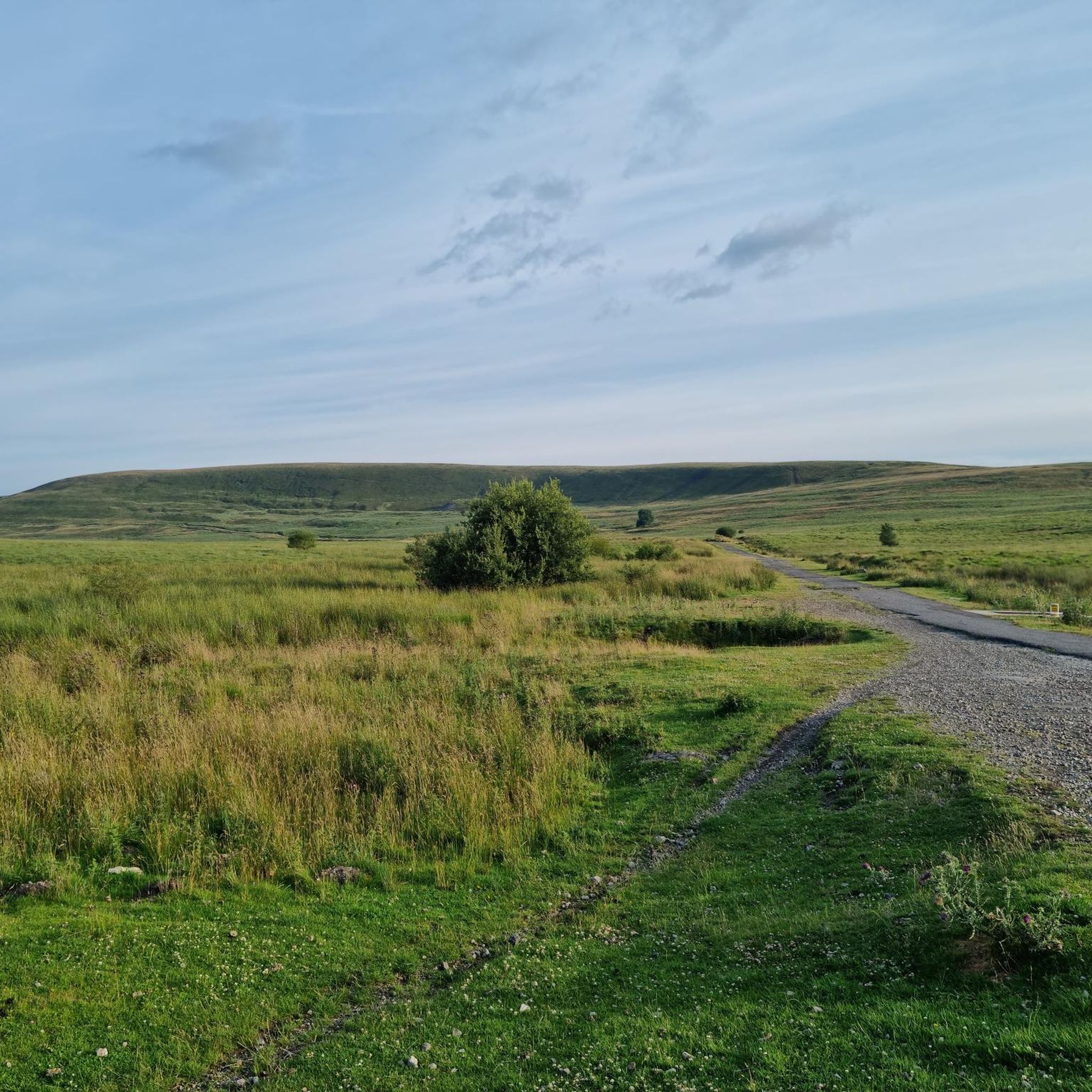
Tips from the Community

An impressive sight and a wonderful tribute to the miners that lost their lives
1
0

Very nice bridge not for traffic though as it’s a single lane track with passing gaps for pedestrians.
0
0


This is a cracking bike stop, not far from the beautiful river bridge in the lower part of the village. There is seating at the rear of the cafe and some more at the front. You can keep your eye on your bikes at either location. Super coffee, and super sticky cakes too. There is also a shop there if you’re a multi day tourer.
1
0

If riding across bridge into Crick, take the first right hand road (next to the pub) to avoid traffic going up the hill and into town. It also takes you straight tup to the high st.
0
0
Raglan castle cafe is a recommended stop, great coffee and cakes :-)
0
0

v cold draught comes out! in all weathers
0
0
evidence of railway platforms and steps to the platforms still exist
0
0
Frequently Asked Questions
How many road cycling routes are available around Nantyglo And Blaina?
There are over 120 road cycling routes in the Nantyglo And Blaina area, offering a wide range of options for different skill levels. You'll find routes varying from easy to difficult, with the majority being moderate.
What kind of terrain can I expect on road cycling routes in Nantyglo And Blaina?
The region offers diverse terrain, transitioning from an industrial past to environmentally friendly landscapes. You can expect varied features including the Ebbw Fach Valley and the Ebbw Fawr Trail, alongside significant elevations. Altitudes in the broader Blaenau Gwent area range from 78 to 549 meters, providing both scenic valley rides and challenging ascents.
Are there any challenging road cycling routes for experienced riders?
Yes, Nantyglo And Blaina offers routes with significant elevation gains, catering to experienced cyclists. For example, the route from Ebbw Vale Town to Abergavenny Castle and Museum – Usk Bridge loop features over 800 meters of ascent over 82 kilometers, providing a substantial challenge.
What natural features or viewpoints can I see along the road cycling routes?
Cyclists can enjoy stunning natural features and viewpoints. Notable spots include the Blorenge summit, offering fine views over Abergavenny and the Usk Valley, and glimpses of the Sugar Loaf Summit. You might also pass by Keeper's Pond (Pen-Ffordd-Goch Pond), known for its views towards the Black Mountains.
Are there any historical landmarks to explore while cycling?
Yes, the region is rich in history. You can explore heritage sites along trails like the Ebbw Fach Trail. Historical stops include the Roundhouse Towers in Nantyglo, often described as the last castle built in Britain, and the Blaina Heritage Museum. The Big Pit Valley Cycle Path – Coity Tip Trail loop specifically showcases the region's industrial heritage.
What do other road cyclists enjoy most about cycling in Nantyglo And Blaina?
The area is highly rated by the komoot community, with an average score of 4.4 stars from over 37 reviews. Cyclists often praise the diverse landscapes, the mix of scenic beauty and challenging elevations, and the extensive network of routes that cater to various ability levels.
Are there any specific trails like the Ebbw Fach or Ebbw Fawr that are suitable for road cycling?
The Ebbw Fach Trail is a 16-kilometer path exploring community green spaces and historical sites, while the Ebbw Fawr Trail also offers outstanding views and points of interest. While these trails have sections suitable for cycling, road cyclists will find dedicated 'scenic and smooth routes' throughout the broader network, including those that connect to these valleys.
What are some good options for moderate road cycling routes?
Many routes in the area are classified as moderate. A popular choice is the Crickhowell Bridge – Llanelly Quarry Limekilns loop from Ebbw Vale Town, which covers 60.4 kilometers and takes about 3 hours to complete, leading through varied terrain.
Can I find long-distance road cycling routes in the area?
Absolutely. The region is part of an extensive cycling network, with routes like the Usk Bridge – Abergavenny Castle and Museum loop from Ebbw Vale Town covering nearly 77 kilometers, offering significant distances for longer rides.
What is the best time of year for road cycling in Nantyglo And Blaina?
While specific seasonal recommendations aren't provided, the diverse landscapes and varied terrain make the area enjoyable across multiple seasons. Spring and autumn generally offer pleasant temperatures and beautiful scenery, while summer provides longer daylight hours. Always check local weather conditions before heading out.
Are there any National Cycle Network routes that pass through Nantyglo And Blaina?
Yes, the region is well-connected to the National Cycle Network. Sustrans National Route 46, along with routes 465, 466, 467, and 492, link to Blaenau Gwent. These often include significant traffic-free sections, which can be ideal for safe cycling.
Where can I find more information about cycling in the wider Blaenau Gwent area?
For additional information on cycling opportunities and the extensive network in the broader Blaenau Gwent area, you can visit the official local government website: blaenau-gwent.gov.uk.
Most popular attractions around Nantyglo And Blaina

Get inspired with the komoot mobile app


Explore more
Browse the best Road cycling routes in other regions.
