The best walks and hikes around Pen-Y-Graig
4.3
(231)
1,954
hikers
158
hikes
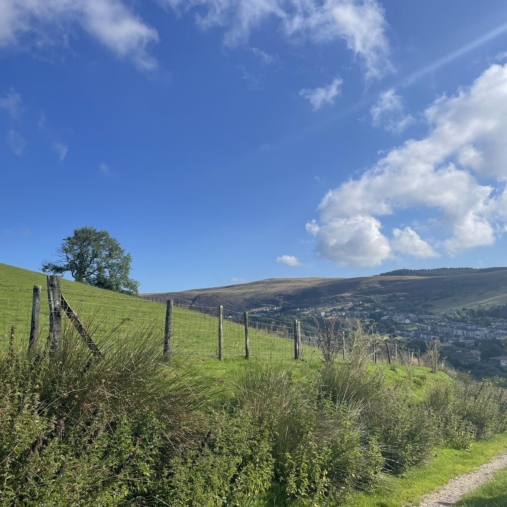
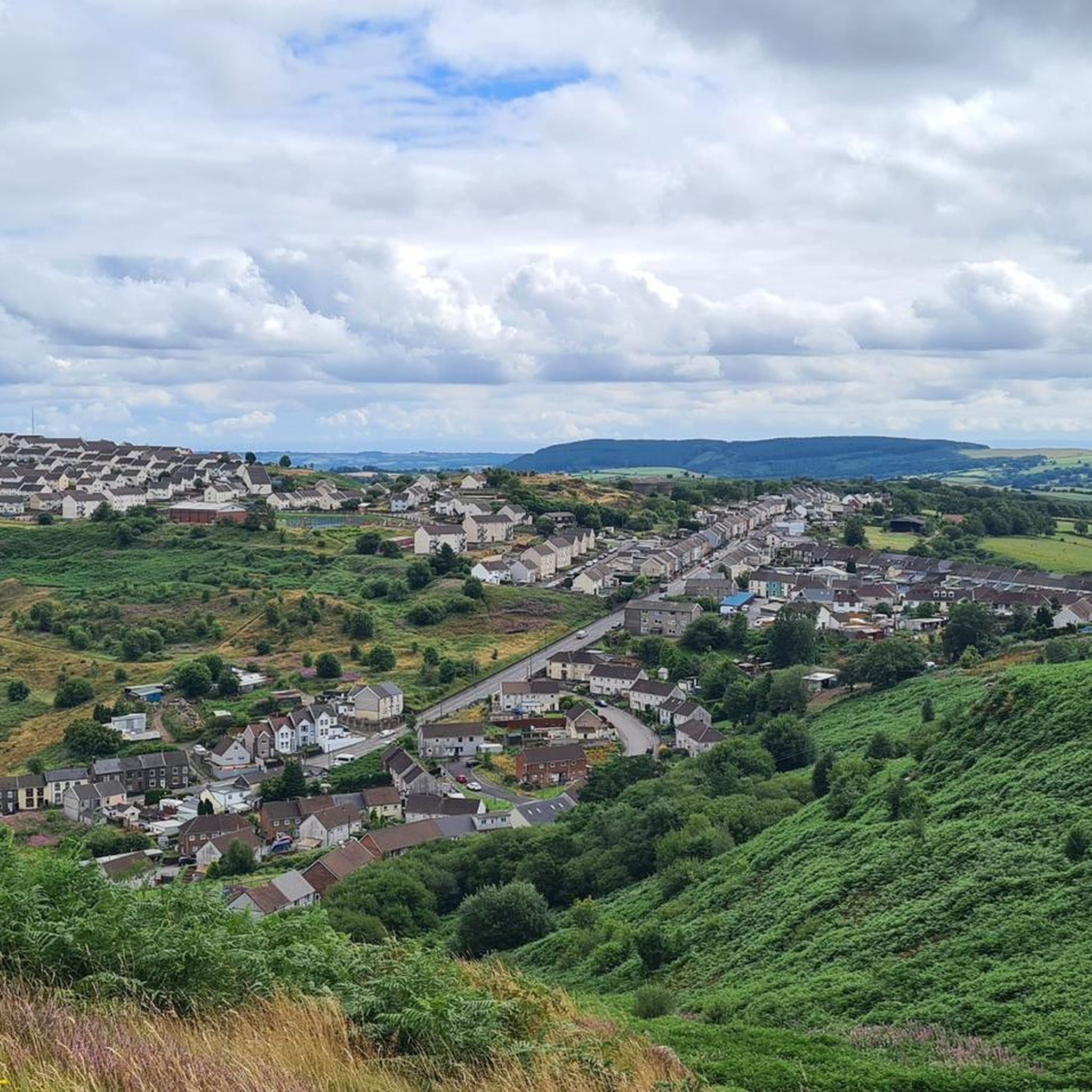
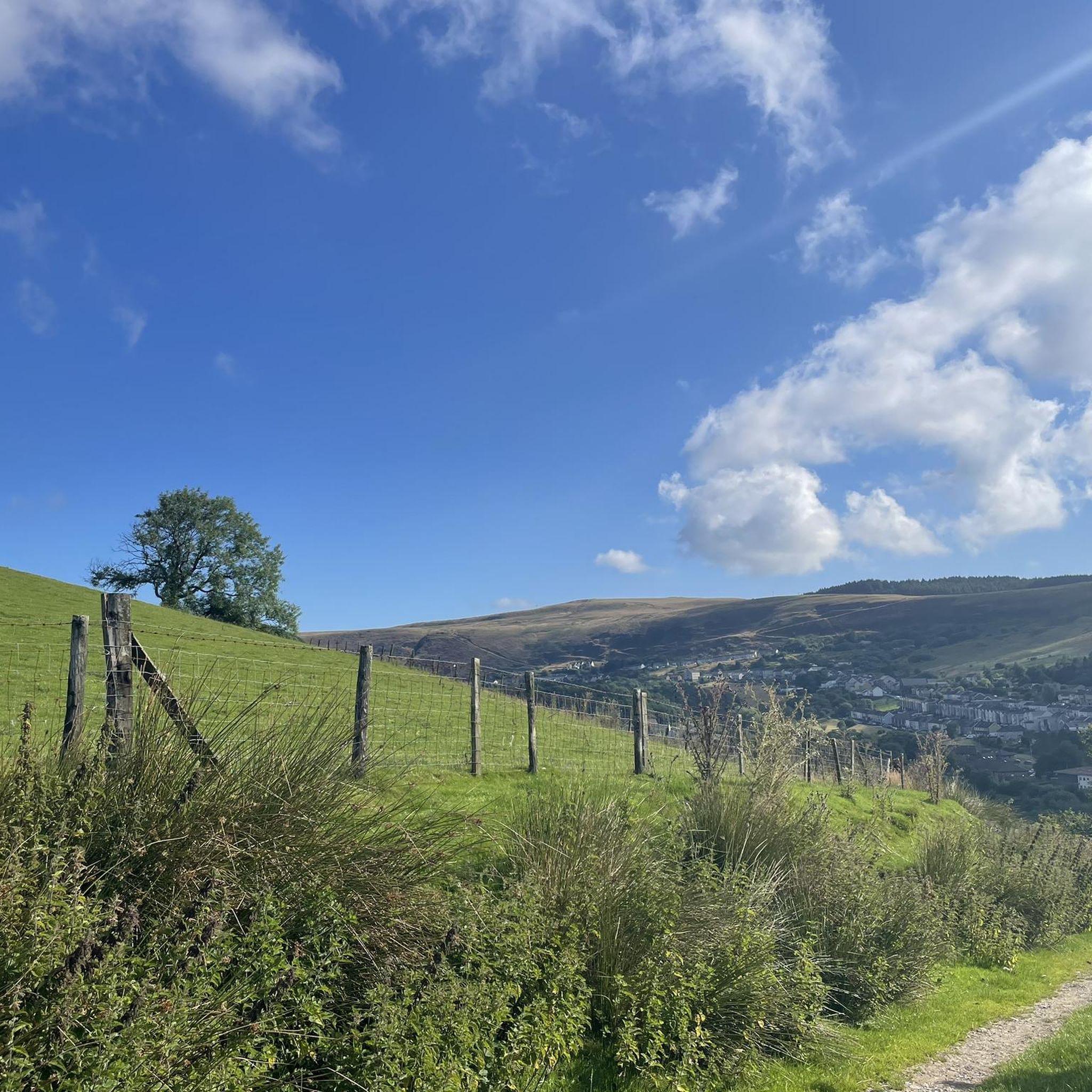
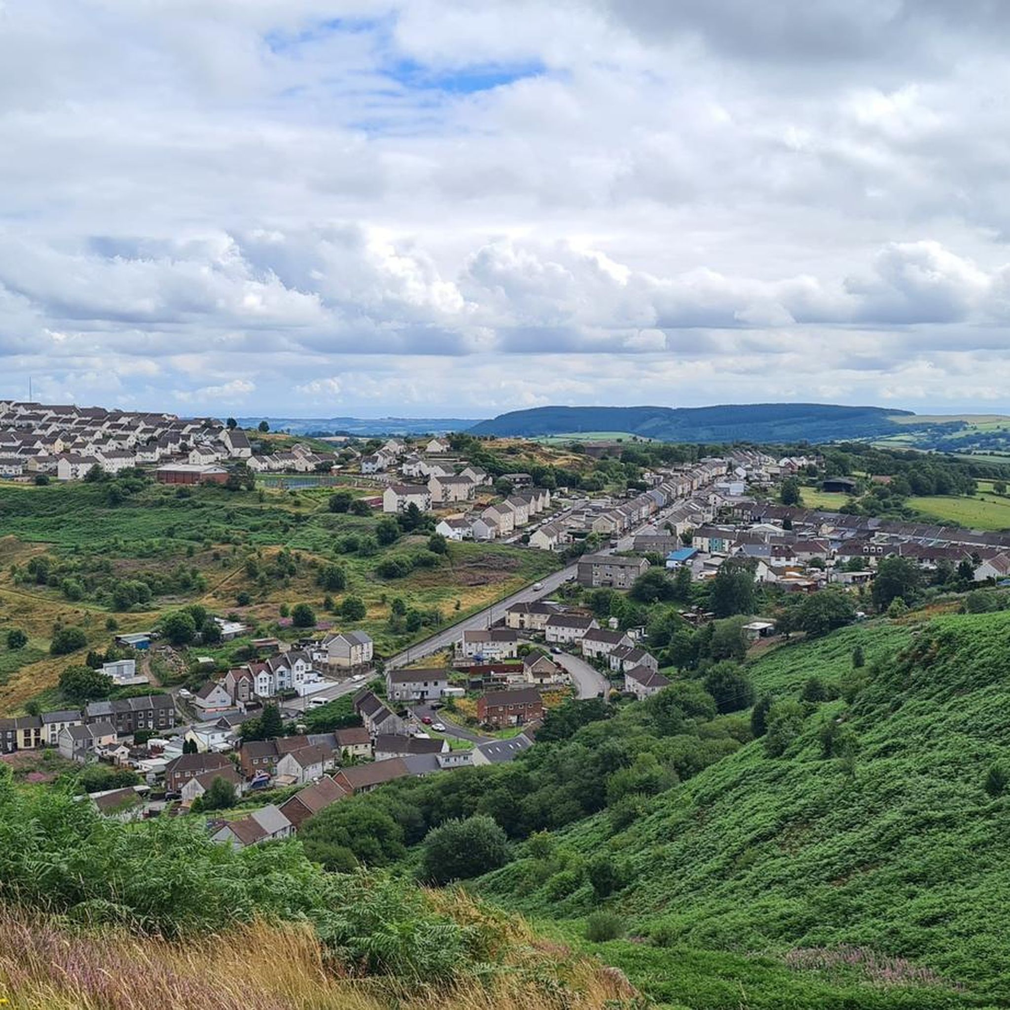
Hiking around Pen-Y-Graig offers a diverse landscape characterized by elevated positions, providing expansive views over valleys and reclaimed industrial areas. The region features a mix of natural habitats, including woodlands, lakes, and historical sites. Trails often follow river valleys and ascend local hills, offering varied terrain for outdoor enthusiasts.
Best hiking trails around Pen-Y-Graig
- The most popular hiking route is Clydach Lakes loop — Cwm Clydach Countryside Park, a 4.2 miles (6.8 km) trail that takes 1 hour 56…
Last updated: July 5, 2026
5.0
(4)
36
hikers
6.81km
01:57
160m
160m
Easy hike. Great for any fitness level. Easily-accessible paths. Suitable for all skill levels.
4.3
(3)
18
hikers
Hard hike. Very good fitness required. Easily-accessible paths. Suitable for all skill levels.

Sign up for free
3.7
(3)
14
hikers
10.5km
03:06
300m
300m
Moderate hike. Good fitness required. Easily-accessible paths. Suitable for all skill levels.
4.0
(1)
8
hikers
10.1km
03:11
380m
380m
Moderate hike. Good fitness required. Easily-accessible paths. Suitable for all skill levels.
5.0
(1)
36
hikers
Easy hike. Great for any fitness level. Easily-accessible paths. Suitable for all skill levels.
Get access to more routes and recommendations from other explorers.
Sign up for free
Already have an account?
Our route recommendations are based on thousands of hikes, rides, and runs completed by other people on komoot.
Start today with a free account
Your next adventure awaits.
Login or Signup
Tips from the Community

The mine cage at the memorial states it was used at Ty Tryst Colliery, Tredegar, where Aneurin Bevan M.P. once worked. (Founder of the National Health Service)
1
0

The parking spot given to start the route is free but not the nearest to the route. There is plenty of road parking nearer the start of the actual lake.,
0
0

Cambrian Colliery was the site of two major mining disasters leading to major loss of life. This memorial is a tribute to those who lost their lives and a reminder of the terrible toll taken by this industry.
1
0
Cwm Clydach Countryside Park is an oasis of calm for wildlife with stunning views that has been created from the blackened scar of a coal mine. Walking alongside the lakes offers the chance to spot Kingfishers, herons, butterflies, newts and more. The two lakes are referred to as the “top lake” and “bottom lake” and there are also waterfalls. For refreshments, there is an on-site cafe.
2
0
Frequently Asked Questions
How many hiking trails are available around Pen-Y-Graig?
There are over 150 hiking routes available around Pen-Y-Graig, offering a diverse range of experiences from easy strolls to more challenging ascents. The komoot community has explored these varied terrains over 1800 times.
What kind of terrain can I expect on hikes in Pen-Y-Graig?
Hikes in Pen-Y-Graig feature a diverse landscape, often characterized by elevated positions providing expansive views over valleys and reclaimed industrial areas. You'll find a mix of natural habitats, including woodlands, lakes, and historical sites. Trails frequently follow river valleys and ascend local hills, offering varied terrain.
Are there any easy, family-friendly walks in Pen-Y-Graig?
Yes, Pen-Y-Graig offers many easy routes suitable for families. An excellent option is the Clydach Lakes loop — Cwm Clydach Countryside Park, which is 4.2 miles (6.8 km) long and takes under 2 hours to complete, exploring scenic lakes and parkland. Another easy choice is the Cwm Clydach Countryside Park – Cambrian Colliery Memorial loop from Tonypandy, a 4-mile (6.4 km) trail.
Can I bring my dog on hikes in Pen-Y-Graig?
Many areas around Pen-Y-Graig are dog-friendly, especially those with coastal paths or open countryside. For example, the Pen-y-Graig Farm Caravan Park in Mid Wales is noted as dog-friendly, providing access to coastal path walks. Always check local signage for specific restrictions, especially in nature reserves or areas with livestock.
Are there any circular hiking routes available?
Yes, Pen-Y-Graig features several popular circular routes. The Clydach Lakes loop — Cwm Clydach Countryside Park is a well-loved circular trail. For a more challenging option, consider the Carn Fawr Bronze Age Monument – Cwm Clydach Countryside Park loop from Dinas Rhondda, which is a difficult 12.3-mile (19.7 km) path.
What interesting landmarks or natural features can I see while hiking?
Pen-Y-Graig offers a variety of landmarks and natural features. You can explore historical sites like the Cefn Eglwysilan Trig Point or the Twyn Crugyrafan (Graig Fawr) Summit for panoramic views. The region also includes areas like the former limestone quarry near Tremeirchion, now a wildlife sanctuary, where you might spot glow-worms and various butterflies. Some routes, like the Gilfach Waterfalls – Foxglove Hill loop from Ogwr Fach, even feature waterfalls.
What is the best time of year to go hiking in Pen-Y-Graig?
The best time to hike in Pen-Y-Graig generally depends on your preference. Spring and autumn offer pleasant temperatures and beautiful scenery, with blooming wildflowers or vibrant foliage. Summer is ideal for longer days and warmer weather, while winter can provide a unique, crisp experience, though some trails might be muddy or require more careful navigation due to weather conditions.
Are there any challenging hikes for experienced trekkers?
Yes, for experienced trekkers seeking a challenge, Pen-Y-Graig has difficult routes. The Carn Fawr Bronze Age Monument – Cwm Clydach Countryside Park loop from Dinas Rhondda is a difficult 12.3-mile (19.7 km) path with significant elevation gain, leading to a historical monument.
What do other hikers enjoy most about Pen-Y-Graig?
The area is highly rated by the komoot community, with an average score of 4.3 stars from over 190 reviews. Reviewers often praise the blend of natural beauty and historical interest, the varied terrain, and the expansive views from elevated positions.
Are there any viewpoints or summits I can hike to?
Absolutely. Pen-Y-Graig, meaning 'top of the rock' or 'head of the crag,' is known for its elevated positions. You can hike to summits like Mynydd y Glyn Summit or Werfa (Mynydd Llangeinwyr) – County High Point 568 m for impressive vistas. The Bwlch Mountain Climb from Treorchy is also a popular viewpoint.
Are there any trails that feature waterfalls?
Yes, if you're looking for waterfalls, consider the Gilfach Waterfalls – Foxglove Hill loop from Ogwr Fach. This moderate 6.3-mile (10.1 km) route includes the scenic Gilfach Waterfalls as a highlight.
What are the options for parking or public transport near the trailheads?
While specific parking details vary by trailhead, many popular starting points for Pen-Y-Graig walks, especially those near towns like Tonypandy or Dinas Rhondda, will have local parking facilities. For public transport, the region's valleys are often served by bus routes, and some areas may have train stations, providing access to various trailheads. It's advisable to check local transport schedules for the specific starting point of your chosen hike.
Most popular attractions around Pen-Y-Graig

Get inspired with the komoot mobile app


Explore more
Browse the best Hikes in other regions.
