The 8 Most Amazing Peaks around Gwaun-Cae-Gurwen
Best mountain peaks around Gwaun-Cae-Gurwen are found within the Black Mountain region of the Brecon Beacons National Park, situated in Neath Port Talbot, Wales. This area provides access to various peaks offering extensive views and diverse hiking experiences. The landscape features a mix of high-altitude summits, historical sites, and natural monuments. It is a region known for its varied terrain and prominent natural features.
Best mountain peaks around Gwaun-Cae-Gurwen
- The most popular mountain peaks is Garreg Lwyd Summit, a natural monument that is South Wales' westernmost 2,000-footer at 616 meters. It is a subsidiary summit of Fan Brycheiniog and the last high outpost of the Black Mountain range.
- Another must-see spot is Cribarth Summit (The Sleeping Giant), a viewpoint. Known as The Sleeping Giant due to its resemblance to a reclining figure, its summit lies on a broken ridge at an elevation of 428 meters.
- Visitors also love Tair Carn Isaf Summit, a natural monument at 460 meters, situated at the western end of the Brecon Beacons National Park. Its prominent position affords extensive views south over the Gower Peninsula and out to the Bristol Channel.
- Gwaun-Cae-Gurwen is known for high-altitude summits, historical sites, and viewpoints. These include peaks with ancient cairns, those offering panoramic vistas, and others with historical quarry workings.
- The mountain peaks around Gwaun-Cae-Gurwen are appreciated by the komoot community, with 12 upvotes and 3 photos across the highlights.
Last updated: May 22, 2026
Garreg Las Summit Cairns
Highlight • Natural Monument
Tip by

Cribarth Summit (The Sleeping Giant)
Highlight • Viewpoint
Tip by

Sign up now to discover places like this
Get recommendations on the best single tracks, peaks, & plenty of other exciting outdoor places.
Sign up for free
Garreg Lwyd Summit
Highlight • Natural Monument
Tip by
Tair Carn Isaf Summit
Highlight • Natural Monument
There are three stone cairns on the summit, one has a trig point.
Tip by

Foel Fraith
Highlight • Natural Monument
Tip by
Sign up for free to discover even more peaks around Gwaun-Cae-Gurwen.
Sign up for free
Already have an account?
Start today with a free account
Your next adventure awaits.
Login or Signup
Tips from the Community

Cribarth or otherwise known as the sleeping giant as it resembles a sleeping giant.
0
1
Known as The sleeping giant The summit lies on the broken ridge at an elevation of 428 m. To its west is a 426-metre-high (1,398 ft) rounded top at SN 829144 which lies just to the northwest of a mile-long ridge that forms the main bulk of the hill. The ridge attains a height of 423 m (1,388 ft) at its southwest end and this spot is marked by a trig point
2
0

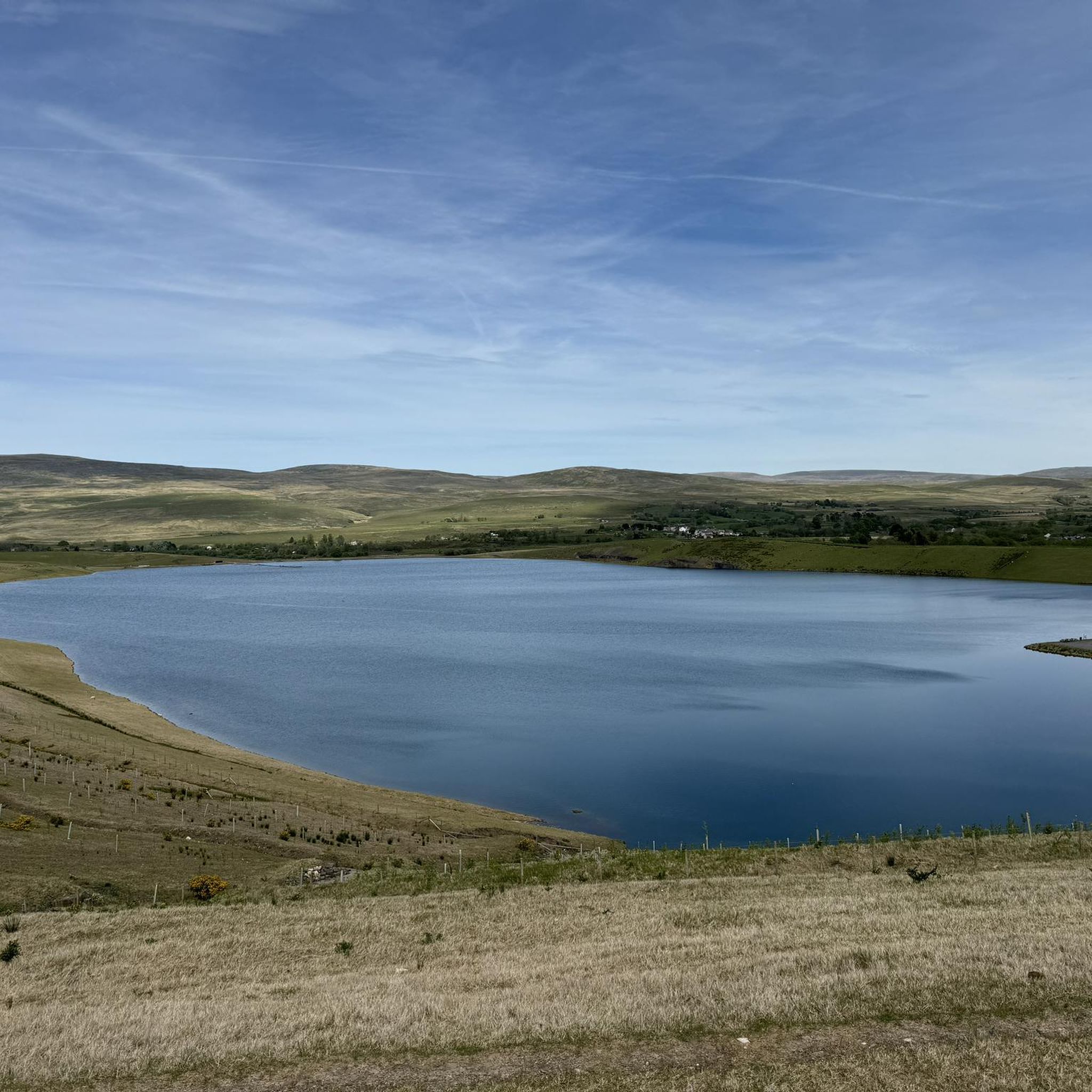
Garreg Las (Twyn-Swnd) is on the west side of the Black Mountain range, and it is visited far less often than many peaks in the Brecon Beacons. Its remoteness is its draw for me; rarely will you be unindated with a host of other walkers here. It is also hansomely topped by a pair of substansive, rocky ancient cairns. You can come across from the car park on the A4069 Brynaman Road or come up from Llanddeusant; both are equally as appealing, but the Llanddeusant route takes the top slot if you go back via Llyn y Fan Fach; this route has the best views. The views from the summit itself are like the location: raw and remote, but I love the place. It is a good area for a bit of navigation practice. At 635 metres high, it is a UK-listed Nuttall and Hewitt. Tip: Any Welsh place name with Llan in it means it has a church. In this case, Llanddeusant means the church with two saints.
1
0

At just 440 metres Tair Carn Isaf is a modestly sized hill, but its prominence at the western end of the Black Mountain, high above the Amman Valley, affords extensive views over central south Wales, into Powys, west to the Preselis, and over the Gower Peninsula and Severn Estuary.
0
0
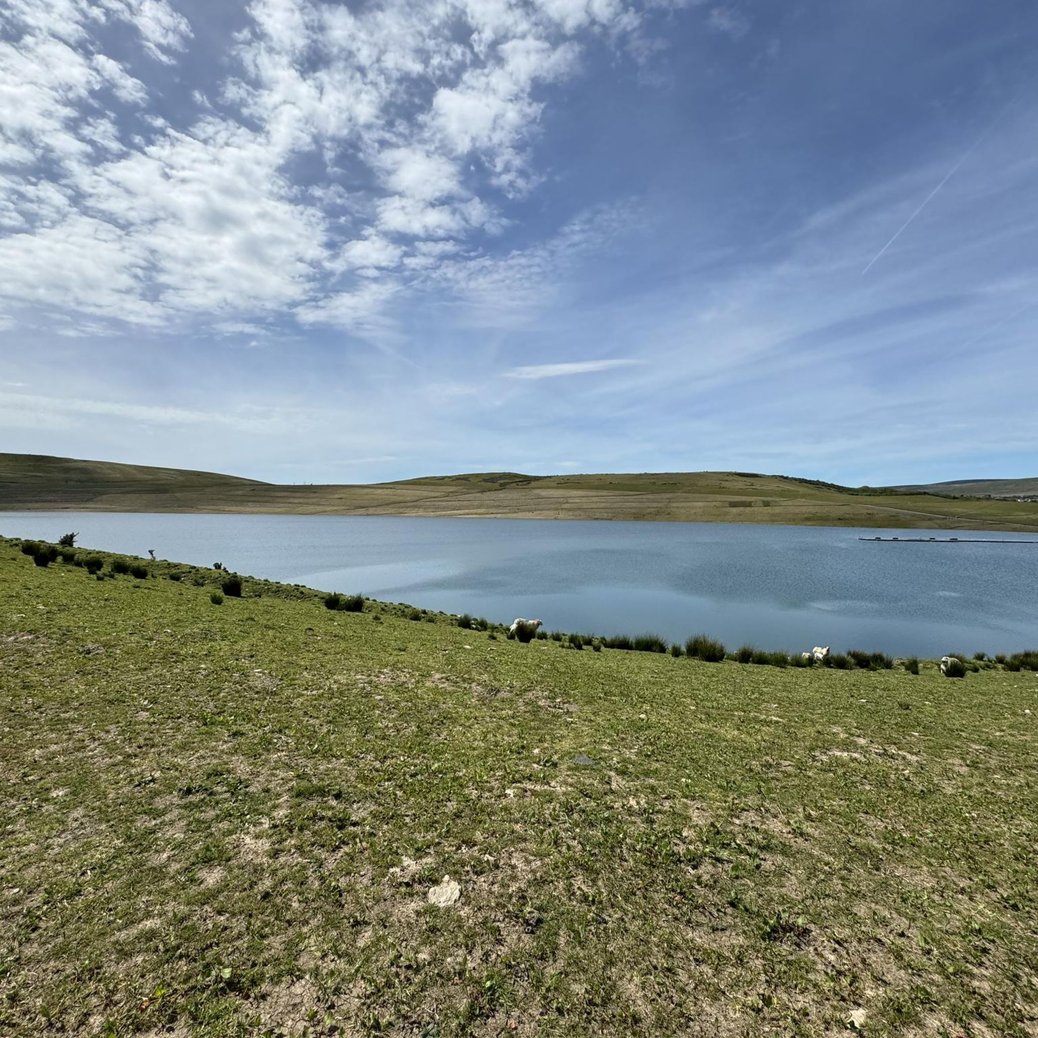
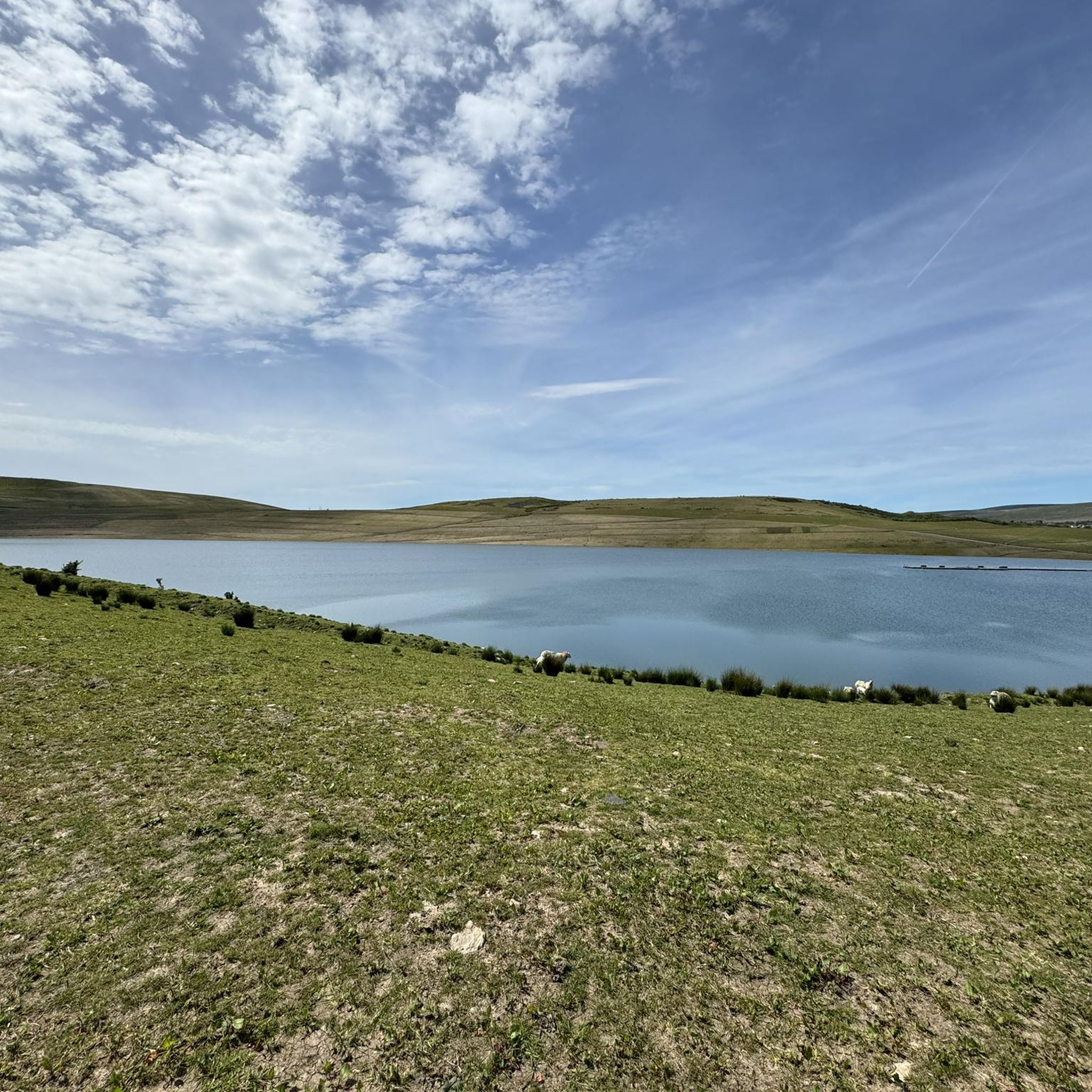
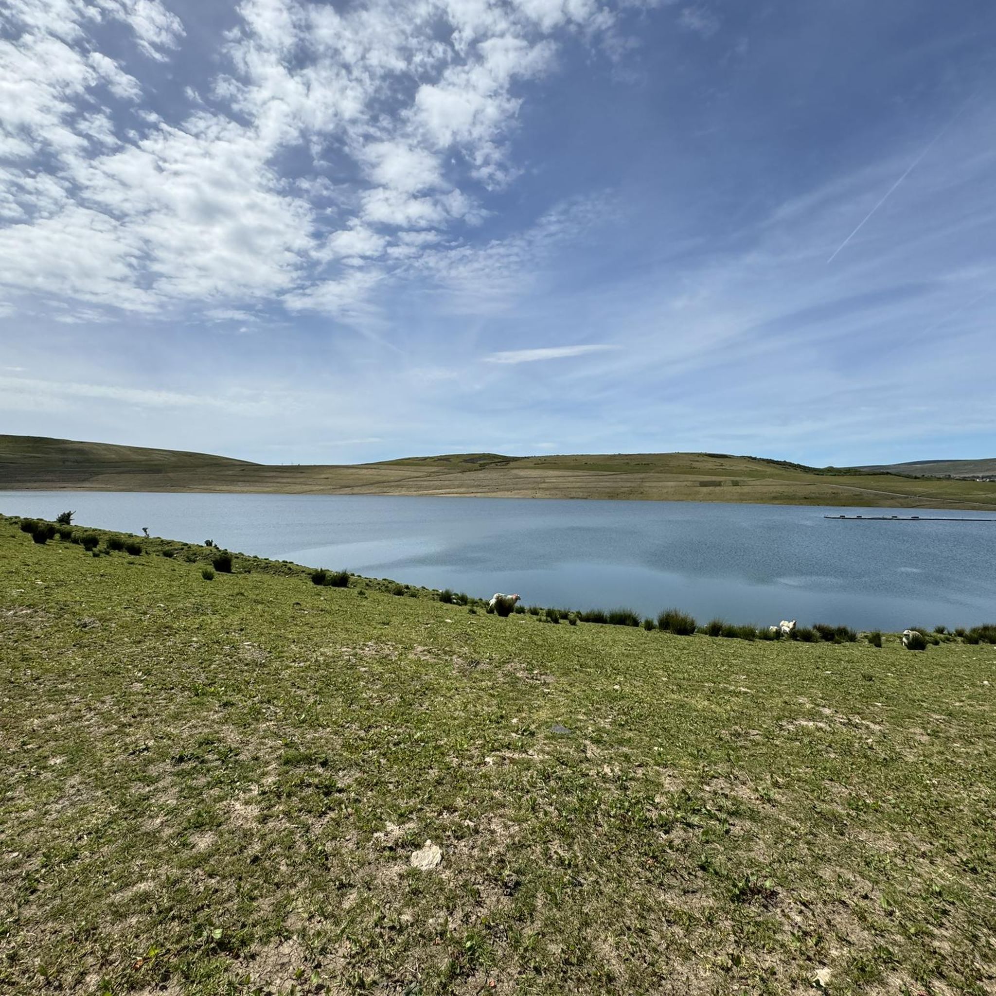
Garreg Lwyd, also known as Moel Gornach, is a peak in the Black Mountain of the Brecon Beacons, South Wales. It is a subsidiary summit of Fan Brycheiniog. It is the westernmost area over 2,000 feet above sea level in South Wales.
1
0
I approached to realise the trig point for surprise as I’d made a Bee line for the giants head!! Absolutely stunning hike!!
0
1

Tair Carn Isaf at 460m stands at the western end of the Brecon Beacons National Park. This position creates amazing views south over the Gower and out to the Bristol Channel and west towards Pembrokeshire. There are three stone cairns on the summit, one has a trig point.
3
0

A beautiful view and many small plants to discover.
1
0
Frequently Asked Questions
Which mountain peaks near Gwaun-Cae-Gurwen offer the best panoramic views?
For extensive panoramic views, consider Tair Carn Isaf Summit. Despite its modest size, its prominent position at the western end of the Brecon Beacons National Park provides sweeping vistas south over the Gower Peninsula, out to the Bristol Channel, and west towards Pembrokeshire. Another excellent viewpoint is Cribarth Summit (The Sleeping Giant), where visitors often describe the views as breathtaking.
Are there any mountain peaks with historical significance near Gwaun-Cae-Gurwen?
Yes, several peaks offer historical insights. Garreg Las Summit Cairns, also known as Twyn Swnd, is notable for its two large rocky cairns, believed to be Bronze Age stone barrows. Additionally, near Garreg Lwyd Summit, you can explore historical quarry workings, pits, and lime kilns of Herbert's Quarry.
What are the options for easy mountain walks around Gwaun-Cae-Gurwen?
While many peaks offer intermediate challenges, Garreg Lwyd Summit provides a relatively quick ascent from the A4069 road, making it more accessible. For a local option, Gwaun-Cae-Gurwen Common, though not as high, offers local walking opportunities within the immediate vicinity.
What kind of outdoor activities can I do near the mountain peaks of Gwaun-Cae-Gurwen?
Beyond hiking the peaks, the region offers diverse outdoor activities. You can explore various cycling routes, including road cycling, mountain biking, and touring. For example, there are challenging road cycling routes like 'From Brynaman to Usk Reservoir via Black Mountain', or MTB trails such as the 'Black Mountain loop from Brynamman'.
Are there any long-distance footpaths that cross the mountain peaks in this area?
Yes, the Beacons Way long-distance footpath crosses some of the peaks. For instance, a path across the summit of Garreg Las (Twyn Swnd) forms part of this trail. The Beacons Way also crosses Foel Fraith on its route between Llanddeusant and Carreg Cennen Castle.
What is the best time of year to hike the mountain peaks near Gwaun-Cae-Gurwen?
The Brecon Beacons National Park, where these peaks are located, is generally best visited during spring, summer, and early autumn (April to October) for more predictable weather and longer daylight hours. During these months, you're more likely to experience clear conditions for panoramic views, especially from summits like Cribarth Summit.
Are there any family-friendly mountain trails or activities suitable for children?
While specific 'family-friendly' categorizations for these peaks are not provided, easier ascents like that to Garreg Lwyd Summit from the A4069 road might be suitable for families with older children. Always consider the fitness level of your group and check weather conditions before heading out.
Can I bring my dog on the mountain trails around Gwaun-Cae-Gurwen?
Many trails in the Brecon Beacons National Park are dog-friendly, but it's crucial to keep dogs under close control, especially around livestock. Always check local signage for any restrictions, particularly during lambing season. Ensure your dog is well-behaved and capable of handling the terrain.
What makes Foel Fraith a unique mountain peak to visit?
Foel Fraith is unique due to its contrasting geological features, with northern slopes hewn from limestone and the rest from Twrch Sandstone. Its summit features a broad, grassy plateau that offers lovely views of the surrounding countryside, and it is relatively unfrequented, providing a sense of solitude.
What do visitors enjoy most about the mountain peaks near Gwaun-Cae-Gurwen?
Visitors frequently appreciate the raw and remote beauty of the area, the stunning panoramic views from summits like Tair Carn Isaf, and the sense of accomplishment from reaching peaks like Garreg Lwyd. The historical elements, such as the Bronze Age cairns on Garreg Las, also add a unique dimension to the hiking experience.
Are there any cafes or pubs near the mountain trails for refreshments?
While specific establishments directly on the mountain trails are rare, the surrounding villages and towns, including Gwaun-Cae-Gurwen itself and nearby Brynamman or Llanddeusant, offer options for cafes and pubs where you can refuel after your hike. It's advisable to check opening times in advance.
Most popular attractions around Gwaun-Cae-Gurwen

Get inspired with the komoot mobile app


Explore more
See even more amazing summits around Gwaun-Cae-Gurwen with these guides:
