The best walks and hikes around Eglwyscummin
4.5
(526)
5,128
hikers
149
hikes
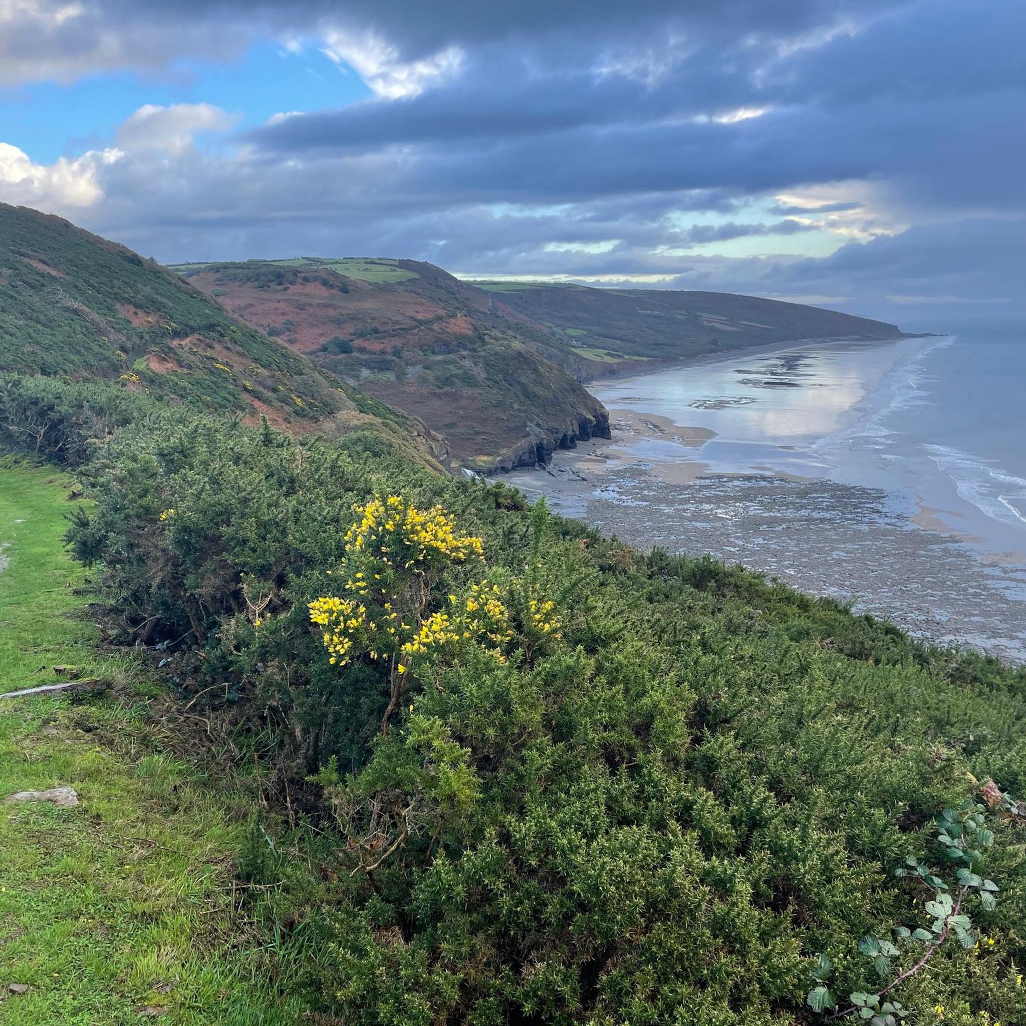
Hiking around Eglwyscummin offers access to coastal landscapes and rolling hills in south-western Carmarthenshire, Wales. The area features Marros Sands, a long beach with natural features like a petrified forest visible at low tide. Cliffs and hillsides contribute to the coastal scenery, providing varied terrain for outdoor exploration. The region is primarily farmland, but its proximity to the Wales Coast Path ensures diverse hiking opportunities.
Best hiking trails around Eglwyscummin
- The most popular hiking route is Woodreefe Wood loop from…
Last updated: May 24, 2026
5.0
(5)
15
hikers
9.64km
02:46
230m
230m
Moderate hike. Good fitness required. Easily-accessible paths. Suitable for all skill levels.
5.0
(5)
15
hikers
9.66km
02:47
230m
230m
Moderate hike. Good fitness required. Easily-accessible paths. Suitable for all skill levels.

Sign up for free
4.7
(3)
19
hikers
10.5km
03:11
340m
340m
Moderate hike. Good fitness required. Easily-accessible paths. Suitable for all skill levels.
15
hikers
5.35km
01:26
60m
60m
Easy hike. Great for any fitness level. Easily-accessible paths. Suitable for all skill levels.
4.5
(2)
9
hikers
8.10km
02:25
240m
240m
Moderate hike. Good fitness required. Easily-accessible paths. Suitable for all skill levels.
Get access to more routes and recommendations from other explorers.
Sign up for free
Already have an account?
Our route recommendations are based on thousands of hikes, rides, and runs completed by other people on komoot.
Start today with a free account
Your next adventure awaits.
Login or Signup
Tips from the Community


Between the 12th and 16th centuries, this was the site of a Cistercian monastery. Today, the abbey's foundations are the only part of it still visible, but well worth taking a look at nonetheless.
1
0
If you're interested in settlements with long histories, Whitland has plenty of intrigue to offer. Originally a Cistercian abbey was here, which survived until Henry VIII's Dissolution and the ruins can still be seen to the north east of the town. In 930 AD, it's thought that the first ever Welsh assembly was held here, featuring a group of lawyers and church officials.
1
0

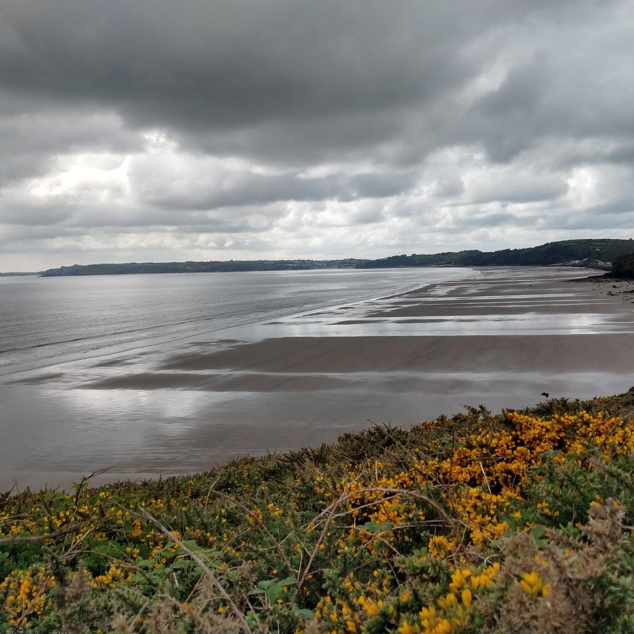
Pendine Sands is a long strip of sand backed by sand dunes. The beach stretches for around seven miles. A number of land speed records were set on these sands including by Malcolm Campbell. The road gives you access to the beach and great views, but doesn't follow along the sands for very long.
0
0

Lovely road running alongside the huge Pendine Beach. Beautiful at sunrise.
0
0

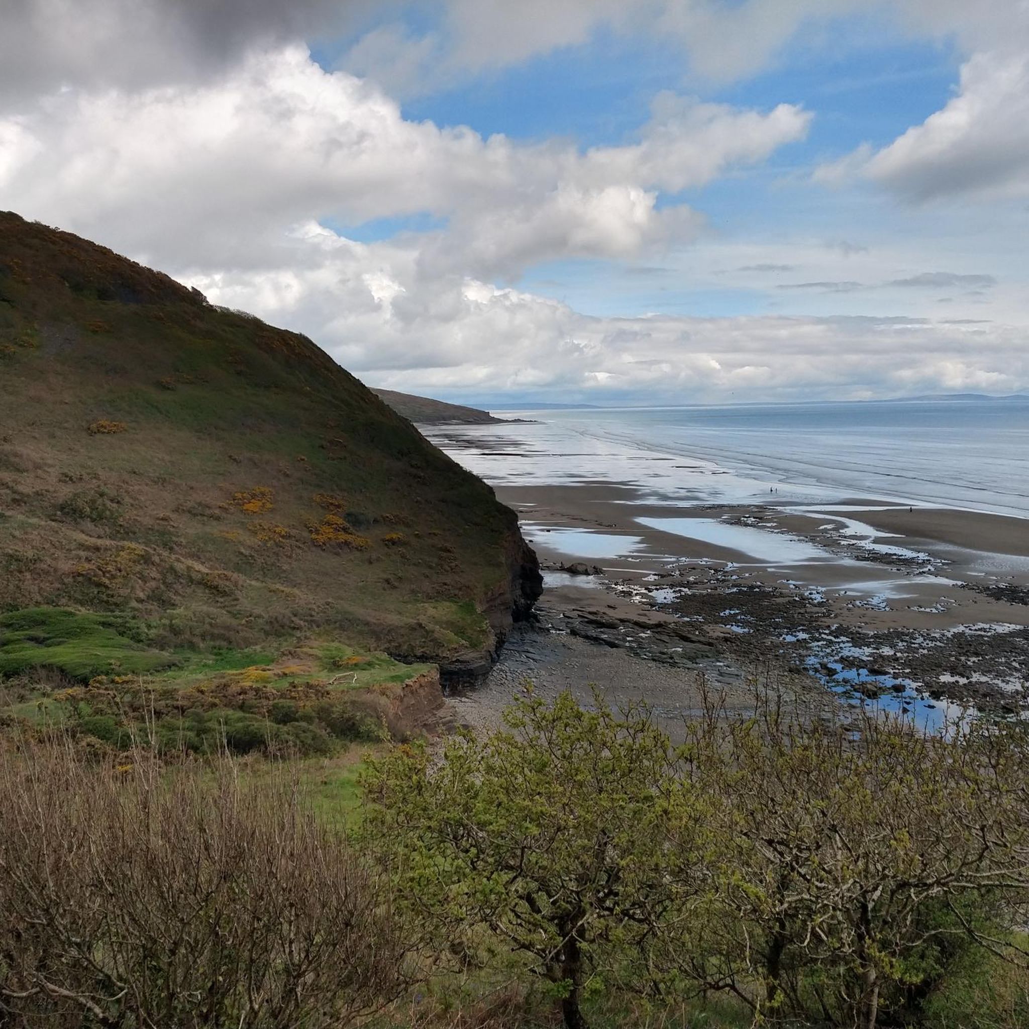
I'm sure there's solid physical or chemical reasons why, but it's all straight lines in these rock formations.
1
0
Frequently Asked Questions
What types of hiking trails can I expect in Eglwyscummin?
Eglwyscummin offers a diverse range of hiking trails, primarily characterized by scenic coastal landscapes and rolling hills. You'll find paths that are part of the renowned Wales Coast Path, as well as routes through woodlands and farmland. The area provides options for various difficulty levels, from easy strolls to more strenuous coastal climbs.
How many hiking routes are available in the Eglwyscummin area?
There are over 150 hiking routes available around Eglwyscummin. This includes a good mix of easy, moderate, and difficult trails, ensuring options for all experience levels.
Are there any easy or family-friendly hiking trails in Eglwyscummin?
Yes, Eglwyscummin has numerous easy trails suitable for families. For example, the Whitland Town Centre – Whitland Abbey Ruins loop from Whitland is an easy 5.3 km path. Many sections of Marros Sands also offer tranquil, flat walking perfect for a relaxed family outing.
What natural features can I see while hiking near Eglwyscummin?
The Eglwyscummin area is rich in natural features. Along Marros Sands, you can discover caves towards the western end and, at low tide, the visible remains of a 5,000-year-old petrified forest. The dramatic cliffs and hillsides leading to Marros Beacon also offer stunning coastal scenery.
Are there any circular walks available in Eglwyscummin?
Yes, many routes in Eglwyscummin are circular, allowing you to start and end at the same point. A notable example is the Woodreefe Wood loop from Amroth, which is a moderate 9.6 km circular trail exploring local woodlands.
What do other hikers say about the trails in Eglwyscummin?
The hiking trails in Eglwyscummin are highly regarded by the komoot community, with an average rating of 4.5 stars from over 490 reviews. Hikers often praise the diverse landscapes, from coastal paths to quiet woodlands, and the well-maintained routes.
Are there any historical or cultural landmarks to explore near the hiking routes?
Yes, there are several interesting landmarks nearby. You could visit Laugharne Castle, a medieval castle with literary connections, or the Dylan Thomas Boathouse. These offer a glimpse into the region's rich history and culture.
Can I bring my dog on the hiking trails in Eglwyscummin?
Many trails in the Eglwyscummin area, including sections of the Wales Coast Path and local woodland routes, are dog-friendly. However, it's always advisable to keep dogs on a lead, especially near livestock or on busy coastal paths, and to check specific route guidelines for any restrictions.
What is the best time of year to go hiking in Eglwyscummin?
The best time to hike in Eglwyscummin is generally during spring, summer, and early autumn when the weather is milder and the days are longer. These seasons offer the most pleasant conditions for enjoying the coastal views and varied terrain. Be aware that coastal paths can be exposed to strong winds at any time of year.
Are there any challenging hikes in the Eglwyscummin area?
For those seeking a challenge, the Eglwyscummin area provides demanding routes, particularly along the Wales Coast Path. A strenuous circular walk connecting Pendine and Marros, for instance, features steep ascents and descents, some with steps and handrails, and a total ascent of 1800 feet, offering rewarding panoramic views.
Are there any specific trails that offer views of the coastline?
Absolutely. The Eglwyscummin area is known for its coastal scenery. The Pendine Sands – Pendine Beach loop from Pendine is a great option, leading through coastal landscapes and sandy beaches. Many paths along the Wales Coast Path also provide continuous sea views.
Where can I find parking for hiking trails in Eglwyscummin?
Parking facilities are typically available near popular trailheads and coastal access points in the Eglwyscummin area, such as in villages like Amroth or Pendine, and at designated car parks for Marros Sands. It's recommended to check specific route details for the most convenient parking options.
Most popular attractions around Eglwyscummin

Get inspired with the komoot mobile app


Explore more
Browse the best Hikes in other regions.
