The best walks and hikes around St. Dogmaels
4.5
(411)
2,295
hikers
20
hikes
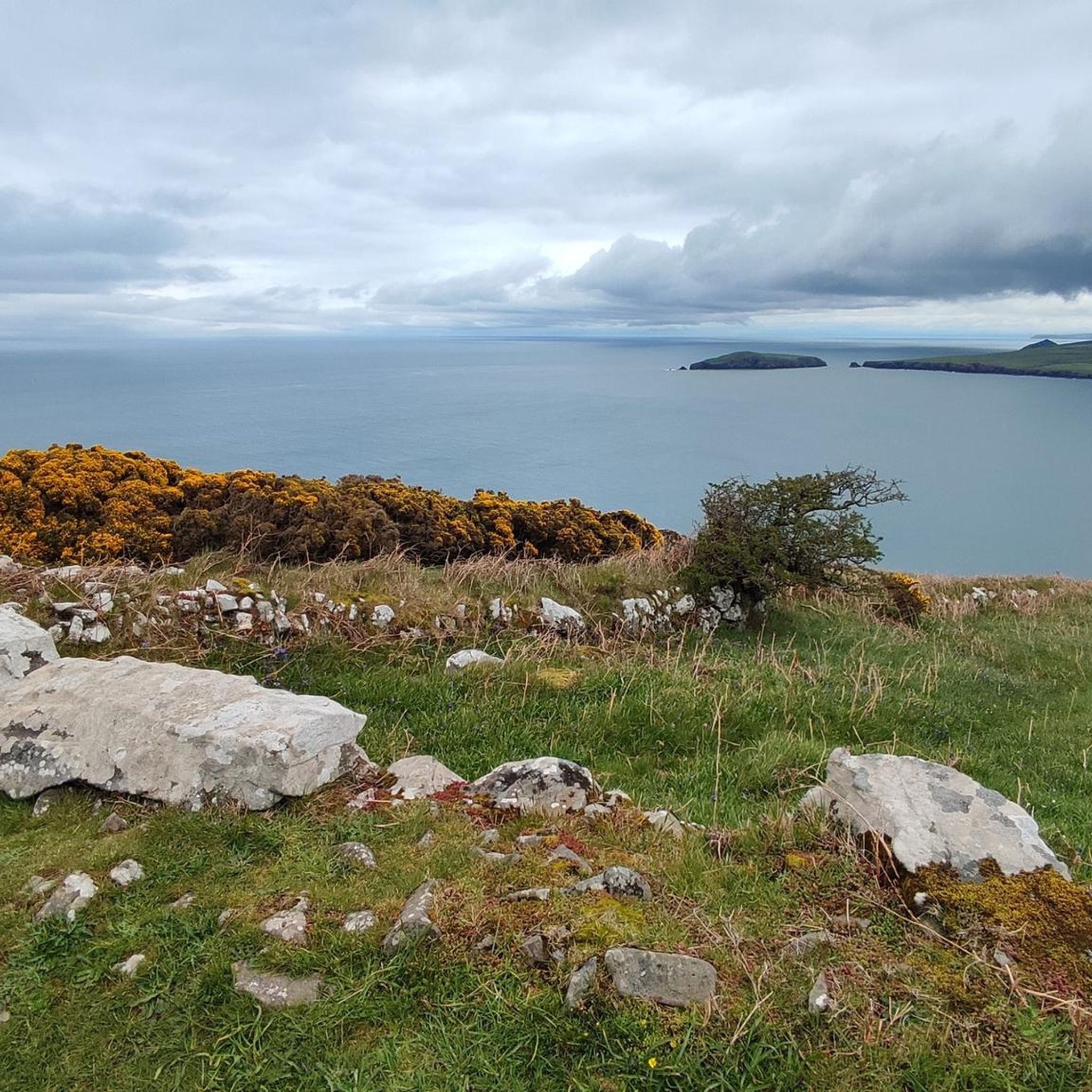
Hiking around St. Dogmaels offers diverse landscapes, blending coastal beauty with rural tranquility at the mouth of the River Teifi. The region features dramatic clifftops, sandy beaches like Poppit Sands, and the expansive Teifi Estuary. Inland, hikers encounter gentle hills, woodlands, and the rugged terrain of Cemaes Head, providing varied environments for exploration.
Best hiking trails around St. Dogmaels
- The most popular hiking route is Cemaes Head Nature Reserve loop from Poppit Sands, a 6.3 miles (10.2 km) moderate…
Last updated: October 10, 2026
4.6
(44)
149
hikers
10.2km
03:00
300m
300m
Embark on the Cemaes Head Nature Reserve loop from Poppit Sands, a moderate 6.3 miles (10.2 km) hike that offers stunning coastal views. You will gain 990 feet (302 metres)…
4.6
(40)
134
hikers
Moderate hike. Good fitness required. Mostly accessible paths. Sure-footedness required.

1
hikers
Easy hike. Great for any fitness level. Easily-accessible paths. Suitable for all skill levels.
4.7
(14)
60
hikers
15.7km
04:33
420m
420m
Moderate hike. Good fitness required. Easily-accessible paths. Suitable for all skill levels.
4.4
(5)
48
hikers
12.3km
03:28
260m
260m
Moderate hike. Good fitness required. Easily-accessible paths. Suitable for all skill levels.
Get access to more routes and recommendations from other explorers.
Already have an account?
Our route recommendations are based on thousands of hikes, rides, and runs completed by other people on komoot.
Start today with a free account
Your next adventure awaits.
Popular around St. Dogmaels
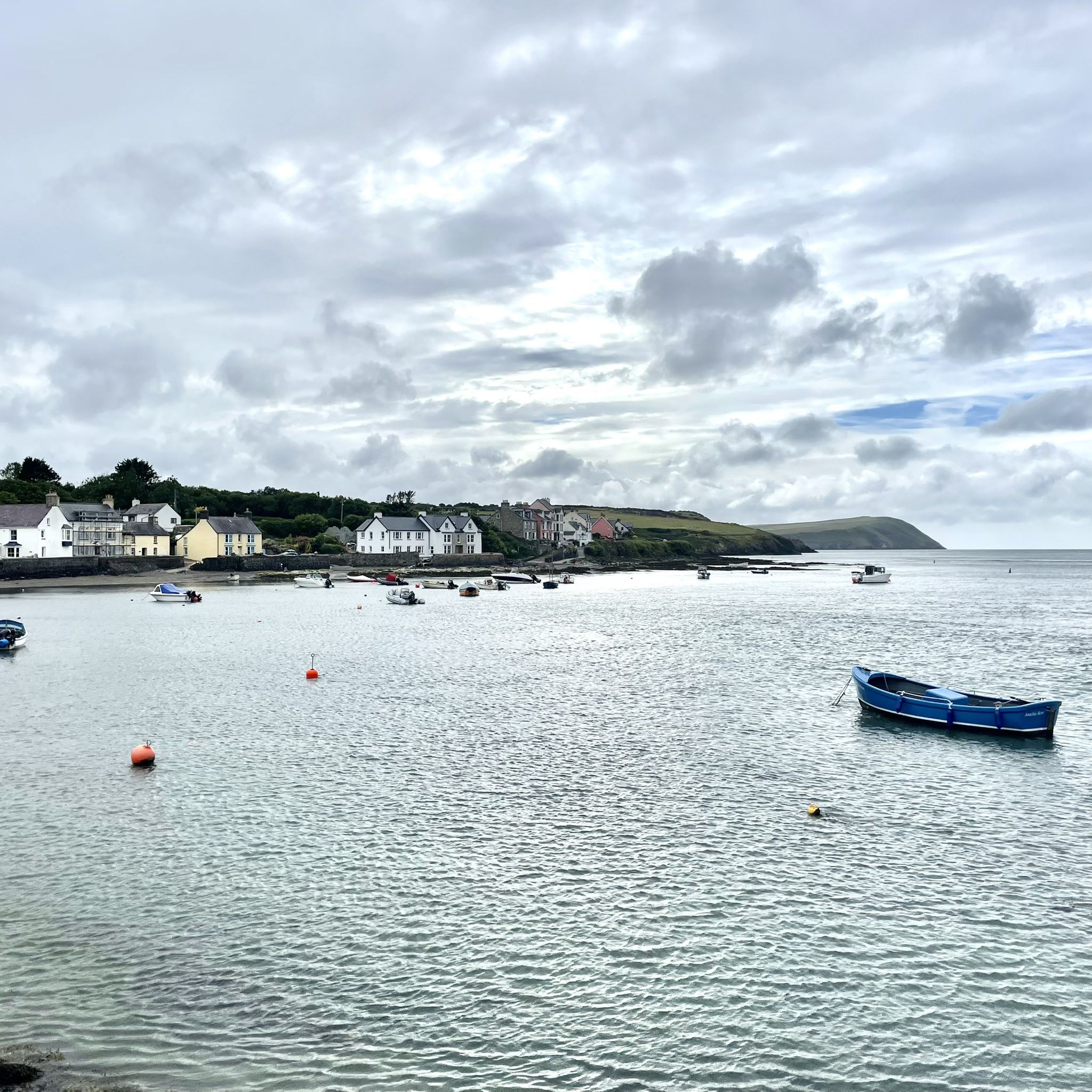
Newport to Cemaes Head – Pembrokeshire walks

Walk Britain – 90 car-free adventures in England, Wales and Scotland
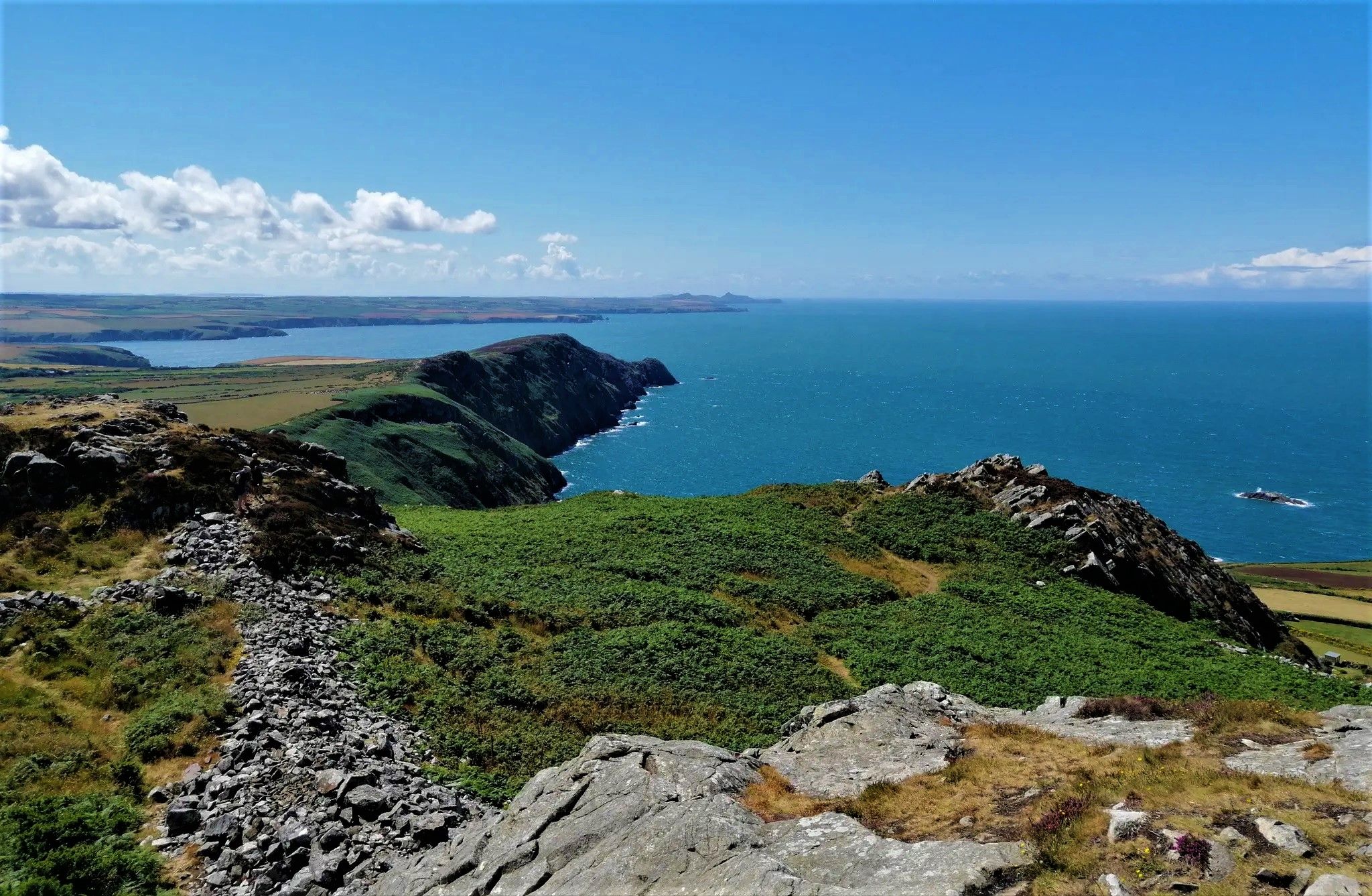
Explore Britain's only coastal national park – Pembrokeshire Coast

Around the edge in 80 days — cycling the coastline of Britain
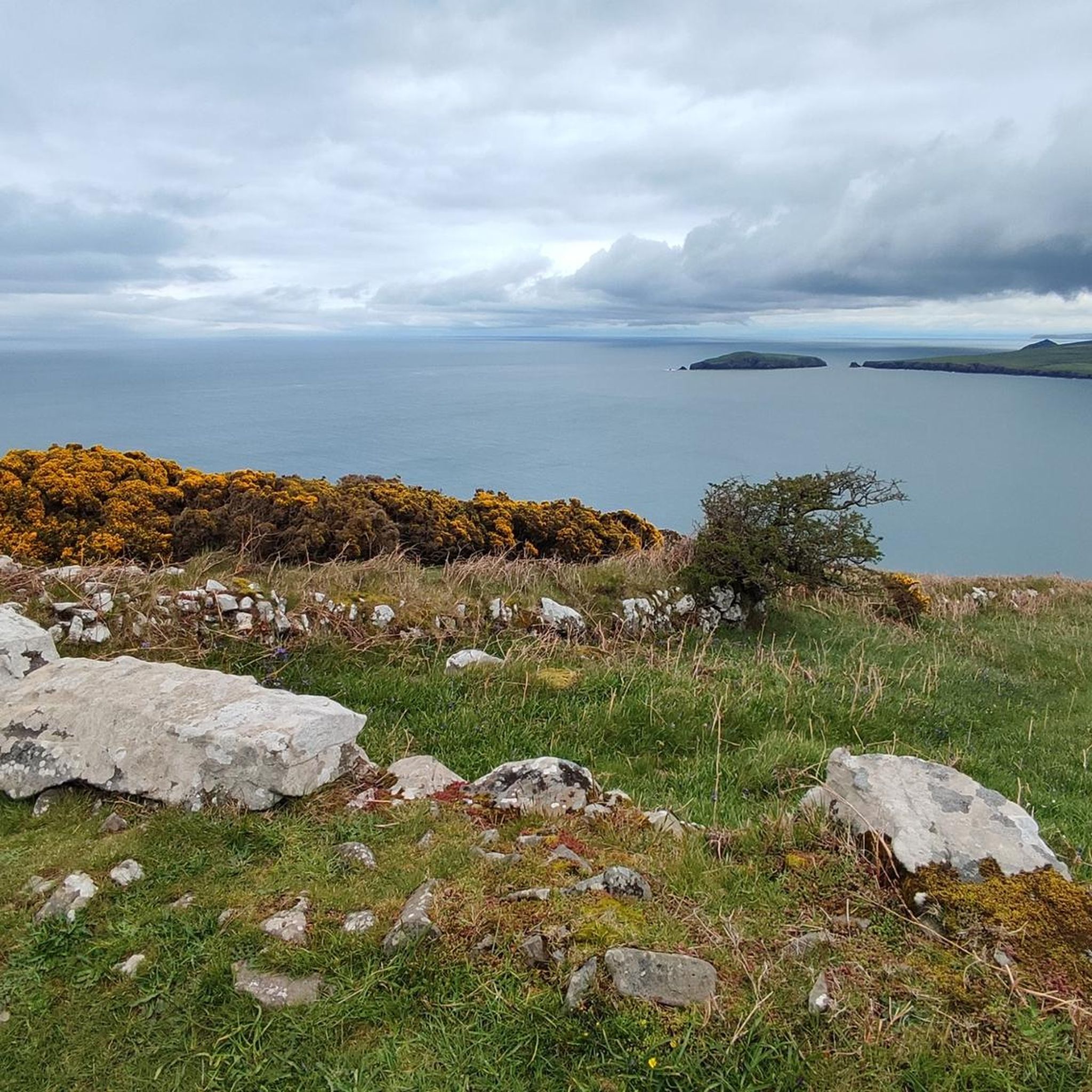
Road Cycling Routes around St. Dogmaels
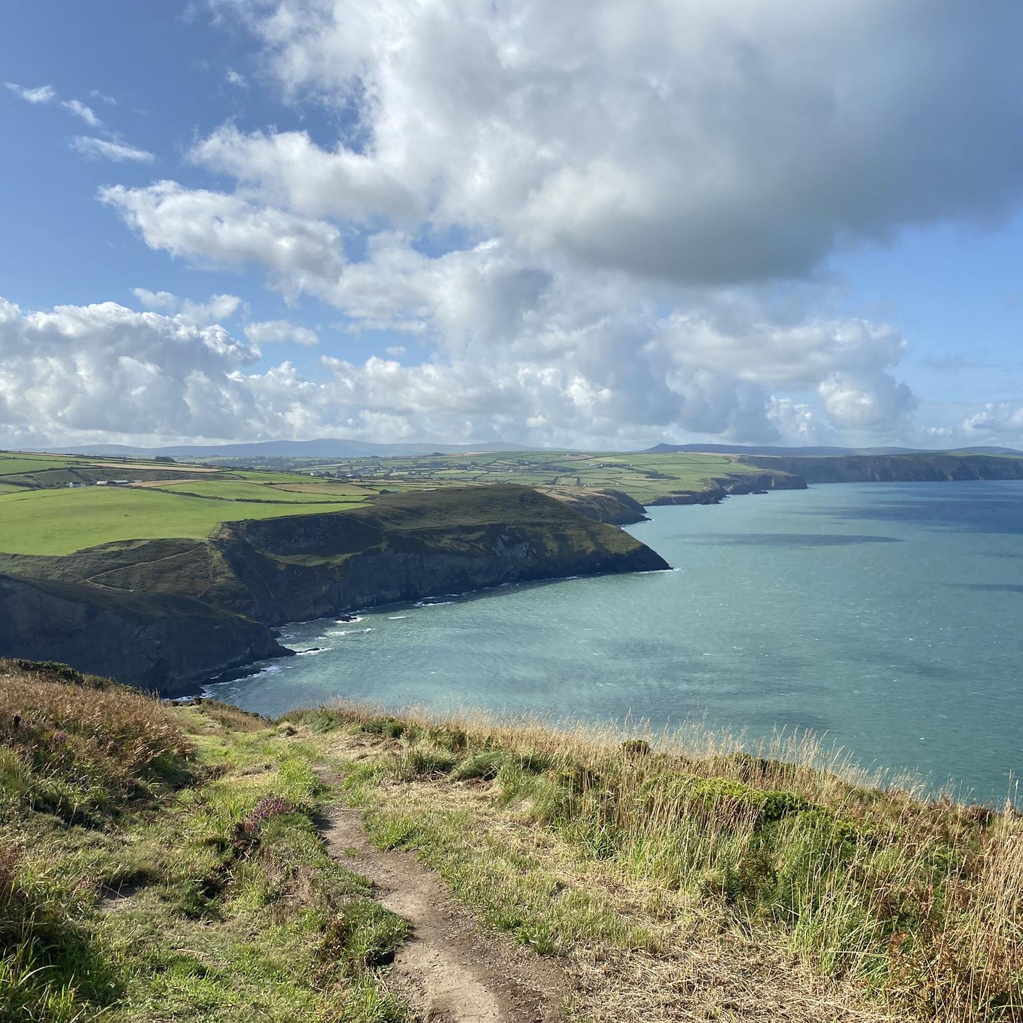
Running Trails around St. Dogmaels
Cycling around St. Dogmaels
Other adventures around St. Dogmaels


Tips from the Community

Not clear how to get down into it, but views from above it and fabulous
0
0
Steep but gorgeous views!
0
0

This beautiful, yet very challenging hike takes you along impressive cliff landscapes. The narrow path runs very close to the cliffs in places – absolute surefootedness and good, sturdy footwear are essential. Hiking poles can also be helpful for additional stability. ⚠️ Important note: A misstep can have serious consequences. This hike is not recommended in wet weather, as the narrow paths become extremely slippery and dangerous. This hike should only be undertaken in dry conditions. Those seeking a challenge will be rewarded with an unforgettable nature experience and breathtaking views of the coast. ⸻ 🔍 Tour Overview • Difficulty: Difficult • Fitness: Very good basic fitness required • Technique: Surefootedness required • Trail Conditions: • Narrow coastal paths • Partially unpaved • Slippery in wet conditions • Equipment: • Sturdy, sure-footed hiking boots • Hiking poles recommended • Suitable for: Dry weather • Not suitable for: Rainy or wet conditions
0
1

Keep an eye open for Grey Seals on the beach and in the water
0
0


Poppit Sands is a popular beach with soft sand and rock pools. Located at the mouth of the Teifi Estuary, it’s backed by dunes. Poppit Sands marks the beginning or the end of the 186-mile (299 km) Pembrokeshire Coast Path. For more information on this long-distance hike, check out the Collection: https://www.komoot.com/collection/889461.
0
0
Frequently Asked Questions
How many hiking trails are there around St. Dogmaels?
There are over 20 hiking routes available around St. Dogmaels, offering a variety of experiences from easy strolls to more challenging coastal paths. These routes are highly rated by the komoot community, with an average score of 4.6 stars.
Are there any family-friendly walks in St. Dogmaels?
Yes, St. Dogmaels offers several family-friendly options. A notable easy trail is the Poppit Sands Adventure Wheelchair Walk, which is 1.2 km long and suitable for all ages and abilities. Poppit Sands Beach itself is ideal for leisurely family strolls and exploring rock pools.
Can I bring my dog on the hiking trails in St. Dogmaels?
Many trails around St. Dogmaels, particularly sections of the Pembrokeshire Coast Path, are dog-friendly. However, it's always advisable to keep dogs on a lead, especially near cliff edges, livestock, and during bird nesting seasons. Poppit Sands Beach also has seasonal restrictions for dogs in certain areas, so check local signage.
What kind of landscapes can I expect to see while hiking near St. Dogmaels?
Hiking near St. Dogmaels offers a diverse range of landscapes. You'll encounter dramatic clifftops, sandy beaches like Poppit Sands, and the tranquil River Teifi Estuary. Inland, there are gentle hills, woodlands, and the rugged terrain of Cemaes Head, providing stunning coastal vistas and opportunities for wildlife spotting.
Are there any circular hiking routes available from St. Dogmaels?
Yes, there are several circular routes. A popular option is the Cemaes Head Nature Reserve loop from Poppit Sands, which is a moderate 10.2 km trail offering coastal views. The St. Dogmaels Footpath Association also promotes local circular walks, including those around the Abbey.
What are some notable landmarks or attractions to see along the trails?
Along the trails, you can explore several significant landmarks. The Witches' Cauldron (Pwll-y-Wrach), a natural blow-hole, is a remarkable feature on the Pembrokeshire Coast Path. You can also visit the ancient Pentre Ifan Dolmen, a Neolithic burial chamber, and enjoy the dramatic scenery of Ceibwr Bay, known for its rock formations and marine wildlife.
How can I get to the trailheads using public transport?
The 'Poppit Rocket' coastal bus service is a convenient option for accessing sections of the Pembrokeshire Coast Path around St. Dogmaels. This service allows hikers to complete linear walks without needing to retrace their steps, connecting various points along the coast.
Is parking available for hikers in St. Dogmaels?
Yes, parking is available in St. Dogmaels village and at key access points for popular trails, such as Poppit Sands. It's advisable to check local signage for any parking fees or restrictions, especially during peak season.
What is the best time of year to go hiking in St. Dogmaels?
The best time to hike in St. Dogmaels is generally from spring to autumn (April to October) when the weather is milder and daylight hours are longer. Spring brings wildflowers, while autumn offers beautiful colours. Summer is popular but can be busier. Always be prepared for changeable coastal weather regardless of the season.
Are there any cafes or pubs near the hiking routes in St. Dogmaels?
St. Dogmaels village has cafes and pubs where you can refresh after a hike. Poppit Sands also has facilities. Many routes are designed to pass through or near villages with amenities, allowing for convenient stops for food and drink.
Are there any challenging hiking routes in the area?
Yes, while there are many easy and moderate trails, St. Dogmaels also offers more challenging sections, particularly along the Pembrokeshire Coast Path. These routes often involve significant elevation changes, such as those leading up to Cemaes Head, which features dramatic cliffs reaching over 175 meters.
What is the Pembrokeshire Coast Path and how does it relate to St. Dogmaels?
The Pembrokeshire Coast Path is a renowned 186-mile national trail, and St. Dogmaels serves as its official northern starting or ending point. This means you can begin or conclude your journey on this iconic path directly from the village, offering extensive hiking opportunities along dramatic clifftops.
Are there any accessible trails for wheelchairs or strollers?
Yes, the Poppit Sands Adventure Wheelchair Walk is specifically designed to be accessible, providing a pleasant and easy route through the Poppit Sands area. This trail is suitable for wheelchairs and strollers, ensuring everyone can enjoy the coastal environment.
Most popular routes around St. Dogmaels
Most popular attractions around St. Dogmaels

Get inspired with the komoot mobile app


Explore more
Browse the best Hikes in other regions.
